
Emlid makes RTK receivers Reach for survey and mapping. Reach comes with an app for iOS and Android for data collection. Tag @emlid to get featured.
Joined February 2014
- Tweets 1,392
- Following 122
- Followers 2,158
- Likes 1,407
819 Photos and videos
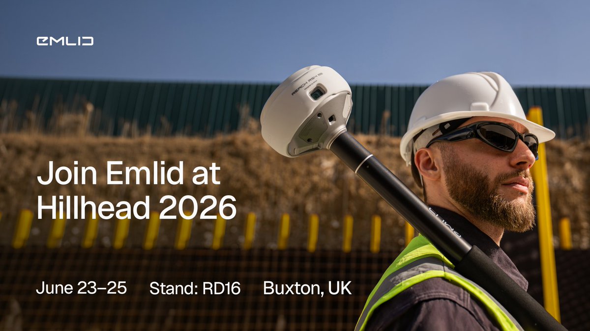
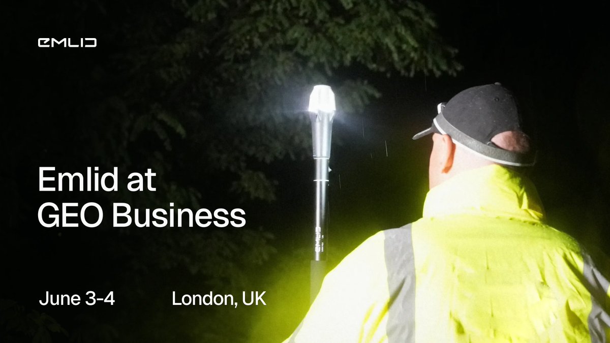


See you at Hillhead 2026, UK! From June 23–25, come meet the Emlid team at Stand RD16.
Get hands-on with our latest RTK GNSS receivers with AR stakeout workflows. Book a real-life demo: meetings-eu1.hubspot.com/jno…
849
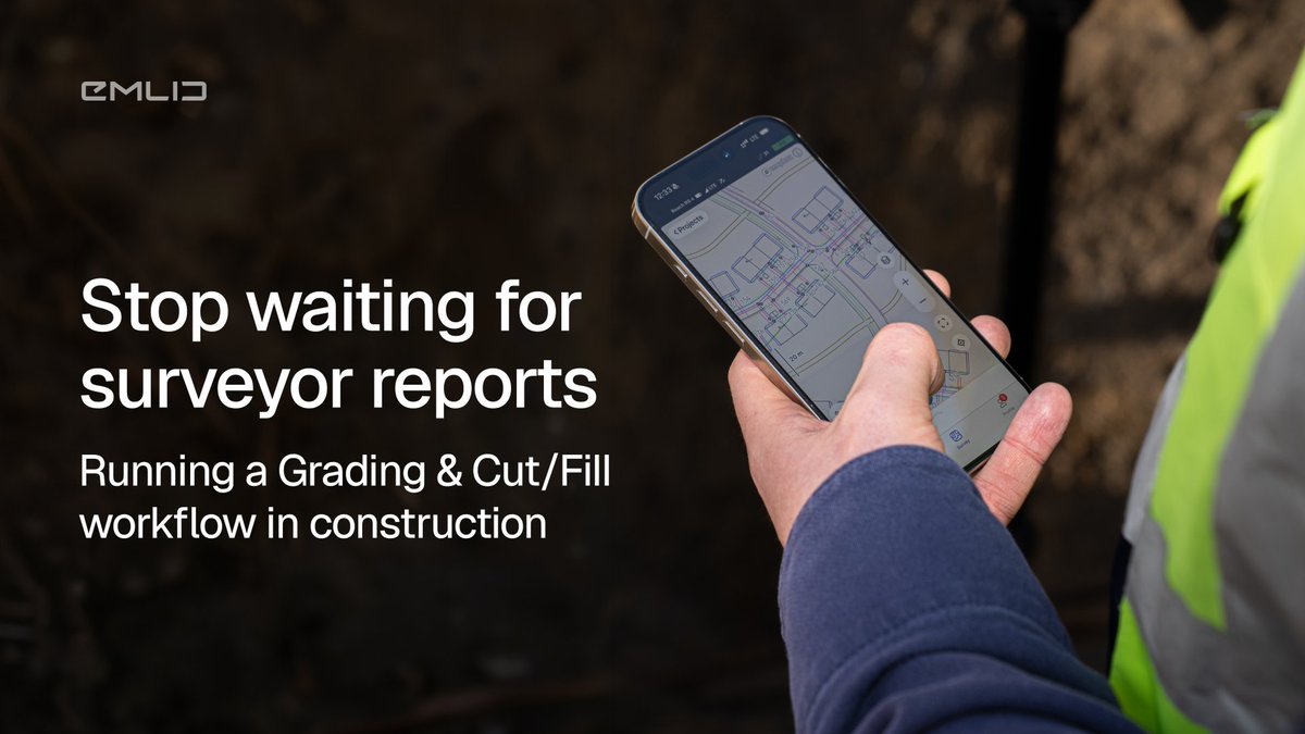
With Reach and Emlid Flow, anyone on your site can verify grades in real time. Walk your pad with a Reach rover, open the app, see cut/fill instantly. See how it works in real life → blog.emlid.com/cut-and-fill-…
62
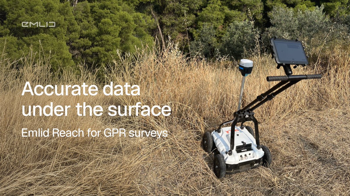
GPR tells you what's underground; Emlid Reach tells you where exactly it is. Stream centimeter-level RTK data directly to your GPR cart for precise, excavation-ready CAD & GIS maps.
See how the workflow works: emlid.com/reach-for-gpr-x
1
91
Underground utilities are the one part of a project you can't revisit once they're covered. What helps you to run projects fast and error-free is a GNSS receiver.
See how contractors are using GNSS for utility and wet utility projects → blog.emlid.com/gnss-for-util…
1
106
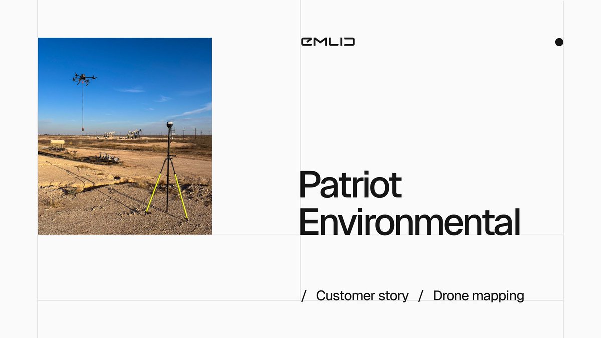
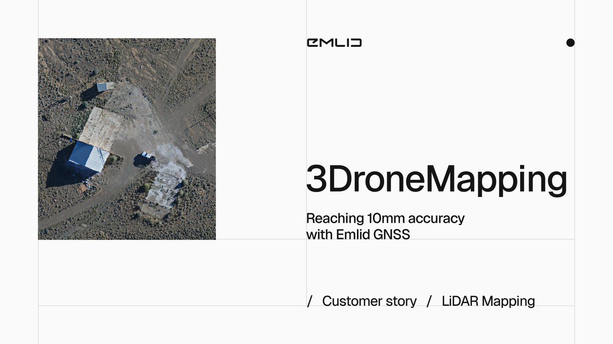
Tens of thousands of hectares for mapping with a VTOL drone. LiDAR accuracy better than 25 mm.
See how 3DroneMapping is redefining large-scale surveying across Africa—with Emlid Reach RS4 Pro keeping every flight on point: blog.emlid.com/customer-stor…
4
686
Still sharing one GNSS kit across the whole jobsite? Still touching the same project file 5–6 times before it lands?
Garney Construction stopped working that way. The result: faster layouts, cleaner as-builts, and fewer trips into the trench → blog.emlid.com/customer-stor…
577
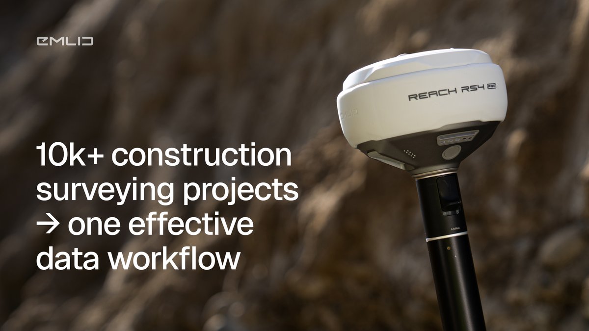
Dealing with 10k construction surveying projects?
Discover how to turn your data workflow into a high-speed, repeatable machine with Emlid.
Real-time data, zero delays: blog.emlid.com/data-manageme…
130
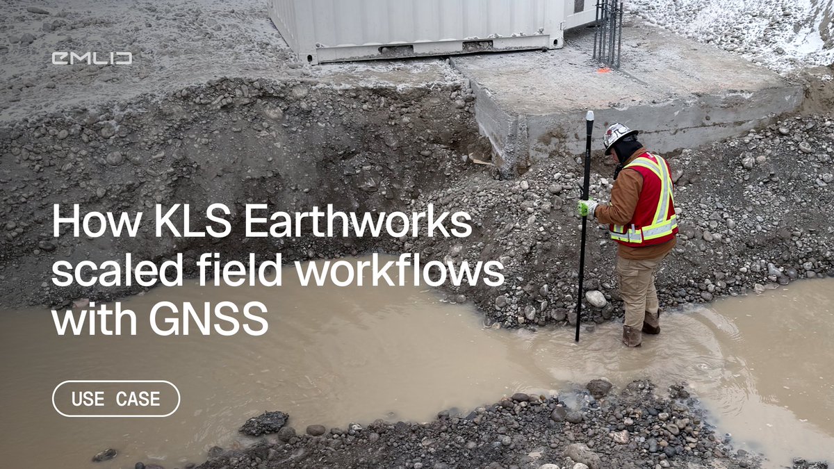
KLS Earthworks equipped supervisors with Reach RX2 rovers to scale the workflow.
The result: faster verification, more efficient crews, and more time for the survey team to focus on planning.
Full story: blog.emlid.com/KLS-case-stud…
160
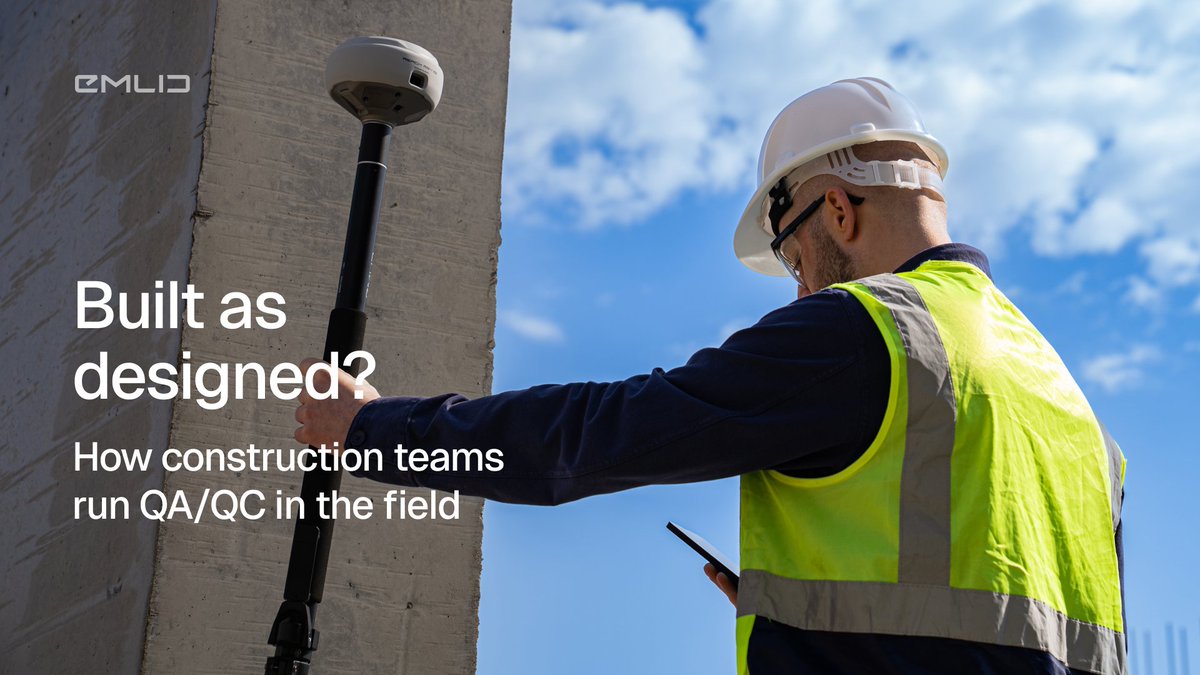
"The dozer had an error in it... and ended up digging an extra six inches."
Caught early: a quick fix. Caught late: expensive rework.
Read how QA/QC done by the field team can be a game-changer: blog.emlid.com/qa-qc-constru…
109
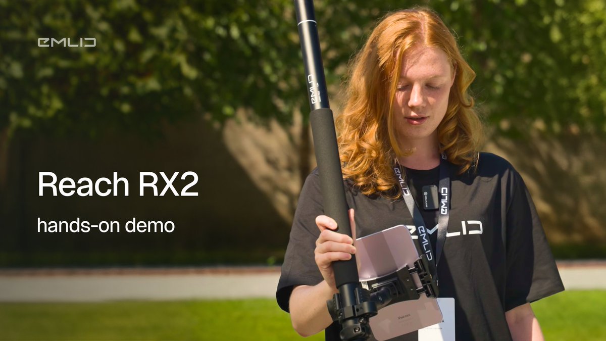
Check out our latest demo of the Reach RX2. We’re moving past the data sheets to show you the actual process of: getting a fix, initializing tilt compensation, and collecting and staking points.
See how it works: youtube.com/watch?v=CapfH0MH…
2
126
Your phone’s GPS is fine for Google Maps, but for professional GIS and utility mapping? Those "few meters" of error will ruin your data.
Dive deep into why you need centimeter-level precision and how the Reach RX2 is changing the game: youtube.com/watch?v=4yHnzsmj…
233
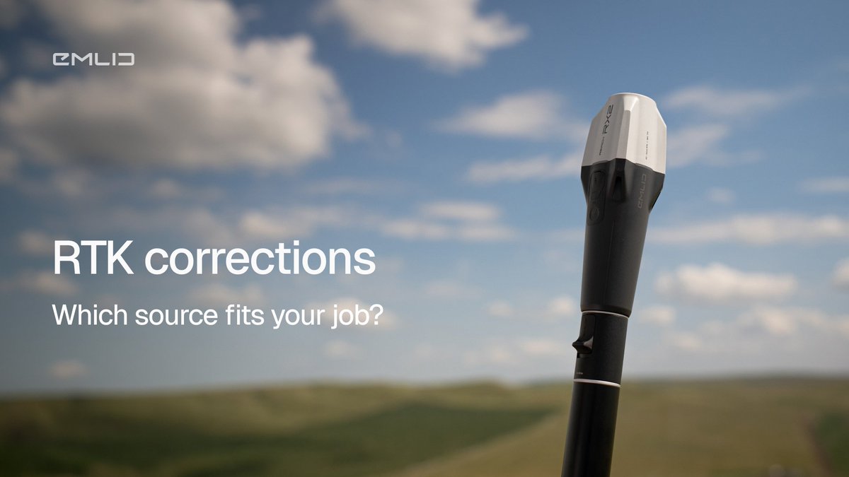
"Which RTK correction method should I use?" Depends. Are you in the middle of nowhere? Near a city? Running 5 rovers at once? We wrote the guide for all of it: blog.emlid.com/rtk-correctio…
1
94
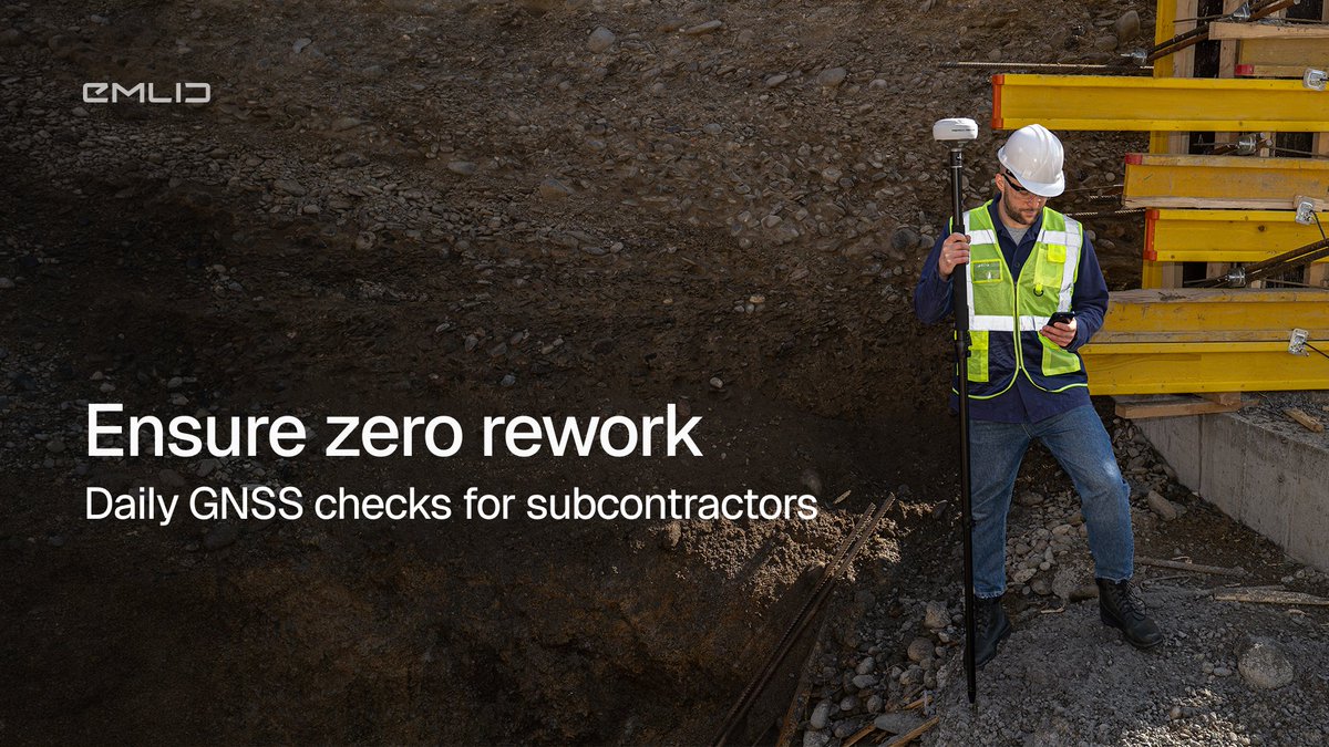
Daily grade checks. Stakeouts. As-builts. Many subs still wait for a surveyor, others handle it themselves with RTK GNSS and keep projects moving.
Check how different professionals use Emlid on site: blog.emlid.com/gnss-for-subc…
116
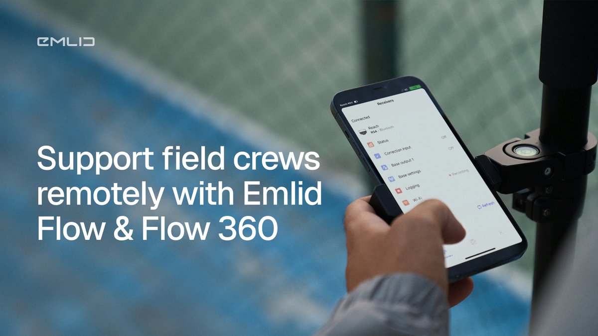
45 minutes of driving to a construction site for a 5-minute answer: still happens when the office can’t see what the field sees. With Emlid Flow & Flow 360, drawings update instantly and measurements are visible for review in real time. Check how it works: blog.emlid.com/support-the-f…
1
132
We’re giving away a Reach RS4 Pro, and all we ask in return is your business story.
Post on LinkedIn from March 10-30 and share how Emlid has helped your business with faster fieldwork, lower costs, better results, or more. Read the full rules and win emlid.com/contest-x
3
435
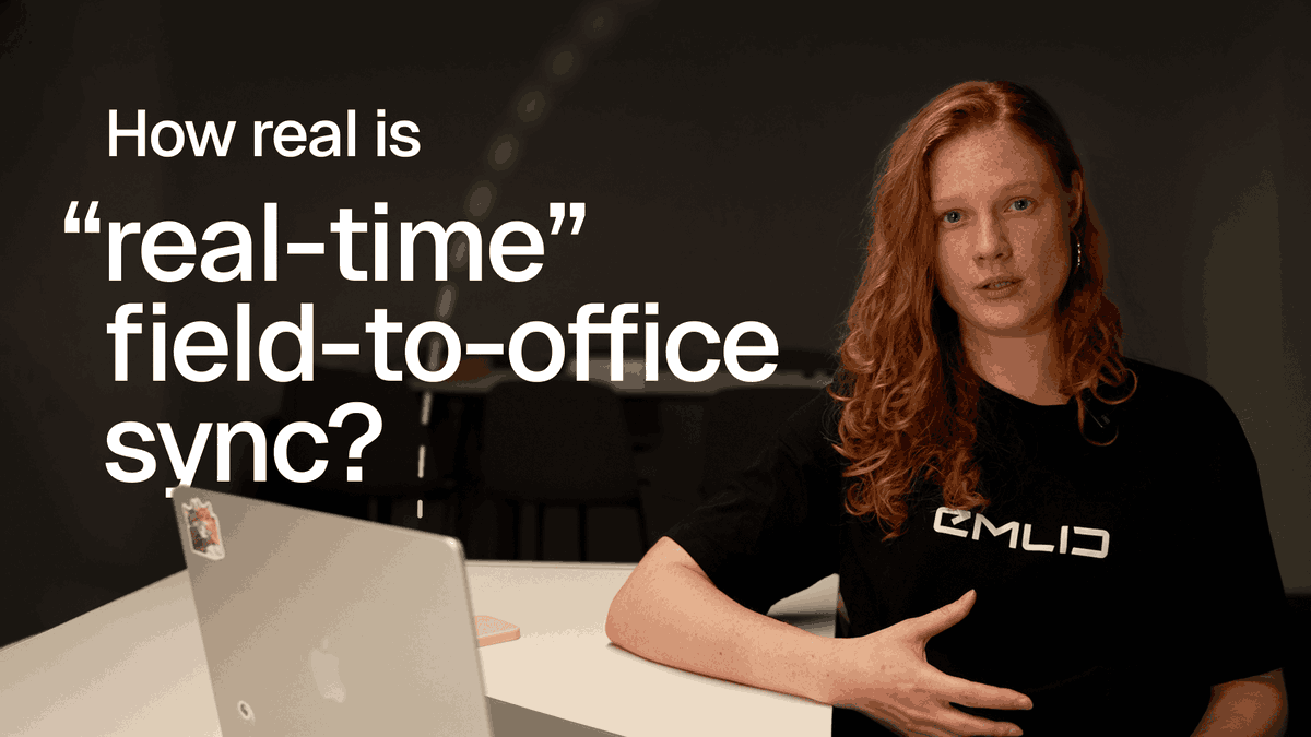
How much time does your team lose moving data from the office to the field and vice versa? Watch how Emlid Flow & Flow 360 keep survey teams aligned in real time: lnkd.in/dn5fRTZQ
270
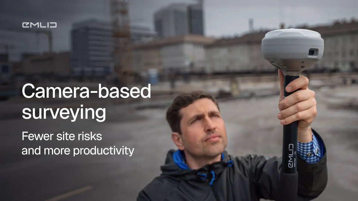
Surveying used to be numbers on a screen. Now it’s visual with AR stakeout & image-based data capture.
Read how the Reach RS4 Pro brings design and reality together: blog.emlid.com/cameras-rs4pr…
1
240