
We’re a news org serving our community of technologists and entrepreneurs. @technicallyPHL @technicallyBMR @technicallyDC @technicallyDE @technicallyPGH
- Tweets 48,598
- Following 2,026
- Followers 27,185
- Likes 4,774


ALT A large group of people poses for a photo on a staircase and landing in a modern building with large windows and natural light.

ALT A woman with long dark hair smiles while seated indoors; an out-of-focus American flag is visible in the background.
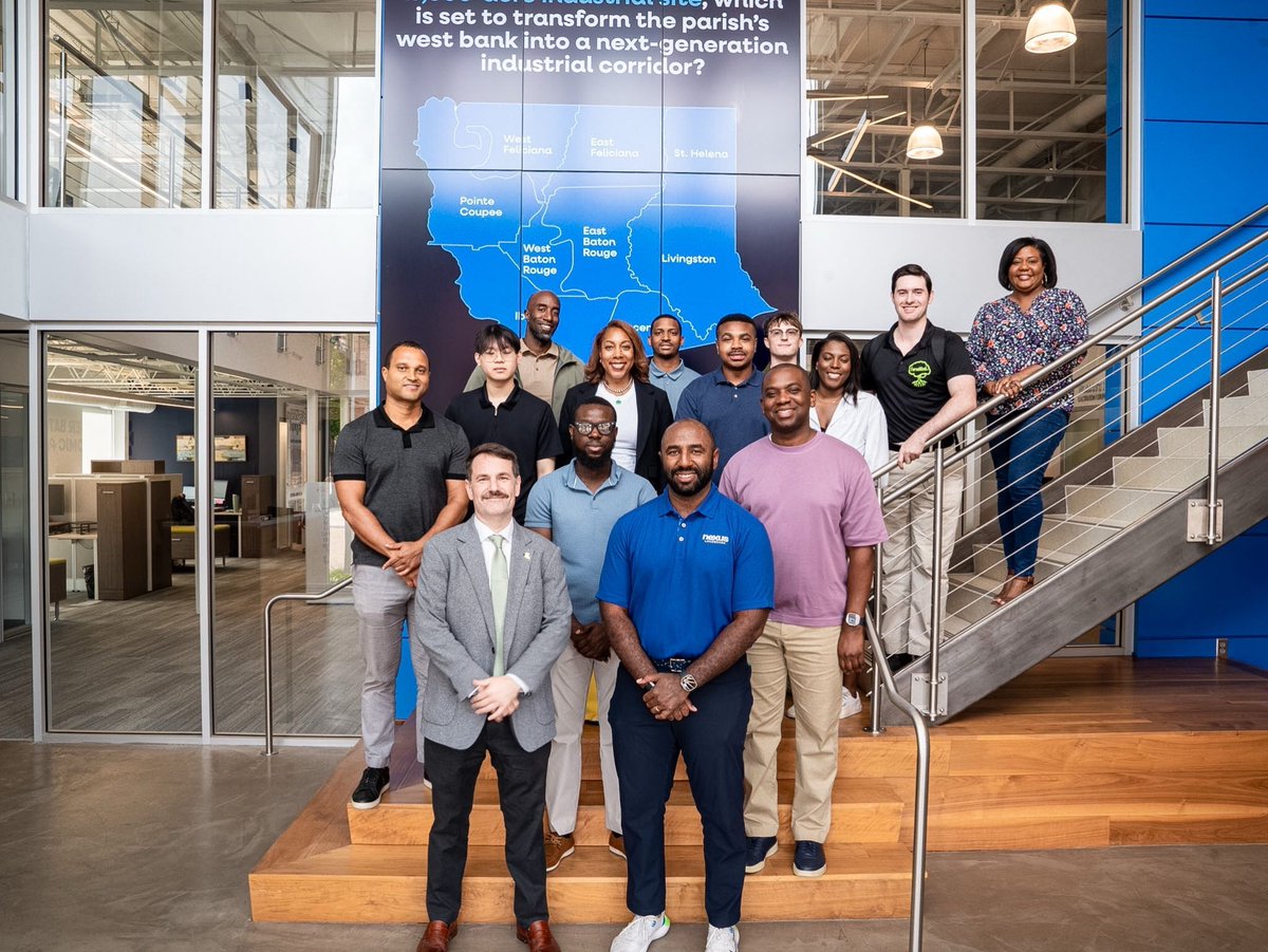
ALT A group of thirteen people pose for a photo on and in front of a staircase inside a modern office with a map and informational sign in the background.
ALT A gravel path blocked by an orange traffic cone leads to a grassy field under a clear blue sky, with trees and shrubs on either side.
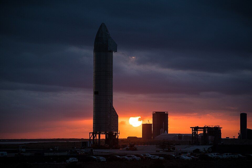
ALT A large rocket stands on a launch pad at sunset, silhouetted against an orange sky with scattered clouds and parked vehicles nearby.
ALT Street view in Philadelphia featuring banners for Philadelphia 250 and FIFA Fan Festival, with city buildings and historic architecture in the background.
ALT A woman wearing headphones speaks into a microphone in a recording studio, with a notebook and coffee mug on the table in front of her.
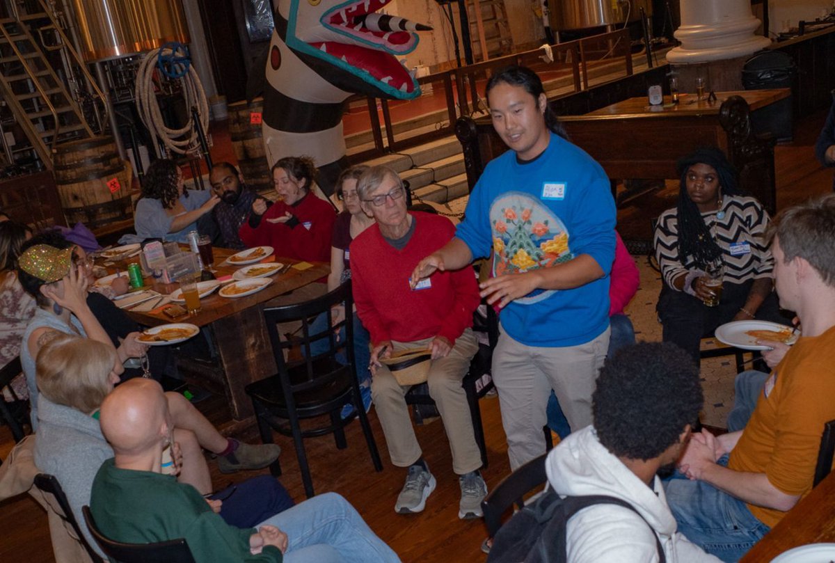
ALT Community organizer Alex Zhu stands and speaks to a diverse group of people gathered around wooden tables inside a spacious brewery or event hall. Zhu is wearing a bright blue sweatshirt with a colorful graphic and a nametag, gesturing with his hands as the seated attendees look on.
ALT Two women smiling and posing for a selfie outdoors under a canopy, with other people and buildings visible in the background.
ALT A large group of people poses together indoors in a modern, well-lit room with sofas, tables, and bright artwork on the walls.
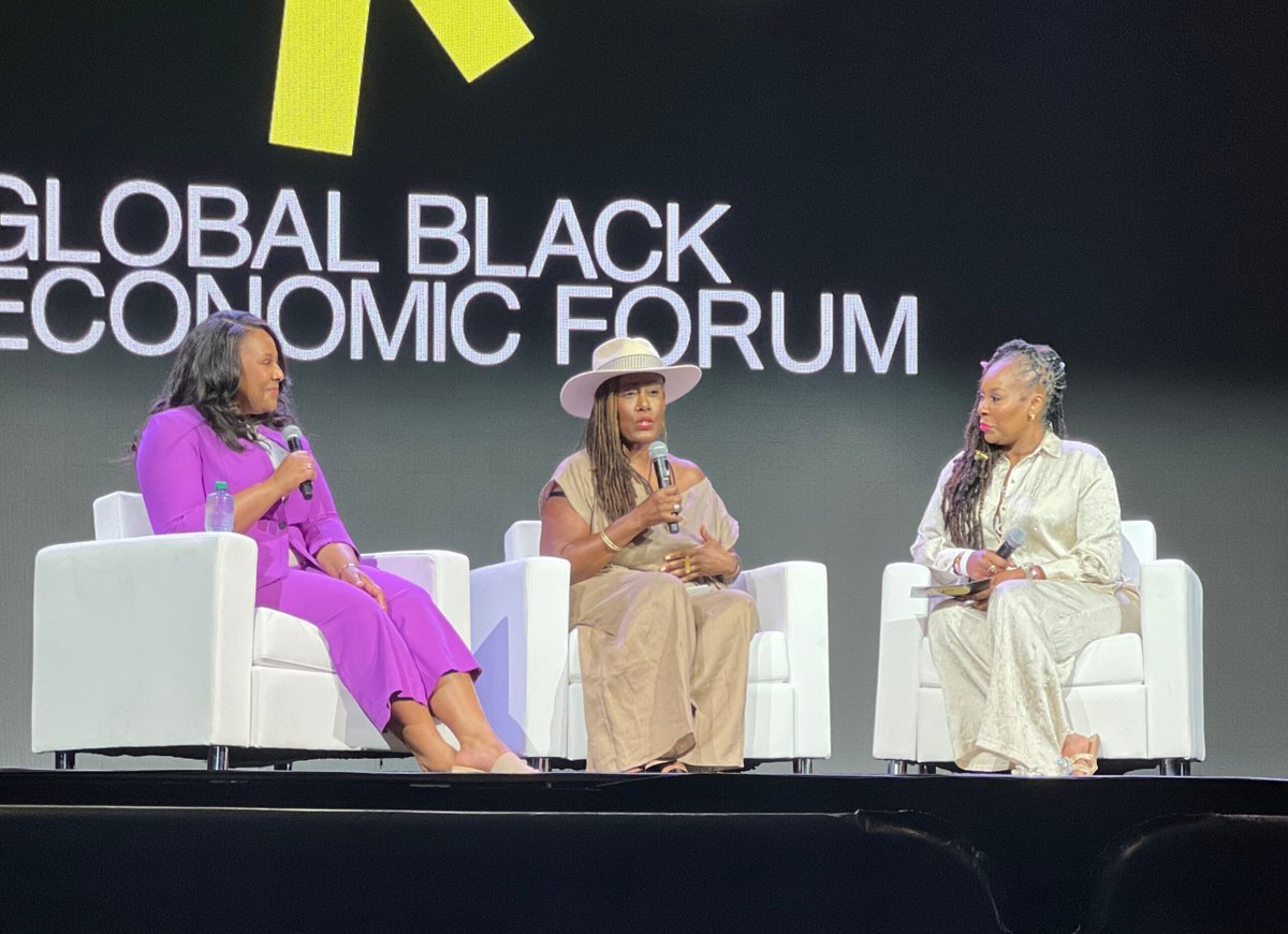
ALT Three Black woman sit on chairs in front of a screen that reads "Global Black Economic Forum"
ALT Jessica Stansbury sits at the front of a modern classroom during an AI summit presentation at the University of Baltimore. Behind her, a large projection screen displays a slide titled “The Hometown Hero."
ALT A hand holding a black microphone upright against a plain dark background.
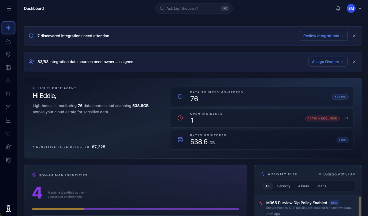
ALT A dark-themed dashboard shows data security stats, including 76 monitored sources, 538.6GB of data, 67,225 sensitive files detected, and alerts for integration issues and owner assignments.
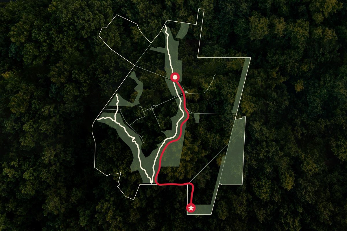
ALT Aerial-style map graphic of a proposed nature reserve within a forested property. White outlines mark the reserve boundary and internal trail network, while shaded green areas indicate conservation or restoration zones. A red route highlights a trail segment running north-south through the reserve, connecting a star-marked trailhead at the southern edge to a waypoint near the center of the map. Dense tree canopy imagery forms the background.
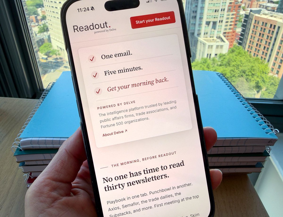
ALT A hand holds a smartphone displaying a newsletter app called Readout with a cityscape and stacked notebooks visible in the background.

ALT Three people stand on stage speaking into microphones at DC Startup Week, with a large screen behind them reading "Celebrating a Decade of Disruption.