
Geospatial data manager & data sharing lead at @NaturalEngland, sharing #opendata #DefraData, @ArcGISOnline @LivingAtlas #avgeek, rugby league supporter.
Joined May 2014
- Tweets 1,238
- Following 201
- Followers 255
- Likes 3,830
193 Photos and videos


Pinned Tweet

11 Dec 2024
November 2024: Check out our extensive batch of @NaturalEngland #geospatial #OpenData updates naturalengland-defra.opendat… No updates in December, next publications January 2025. 🌳🌍
ALT Autumn fallen leaves, Kirkstall Abbey, Leeds, UK
1
38
Andy Lee retweeted

20 Feb 2025
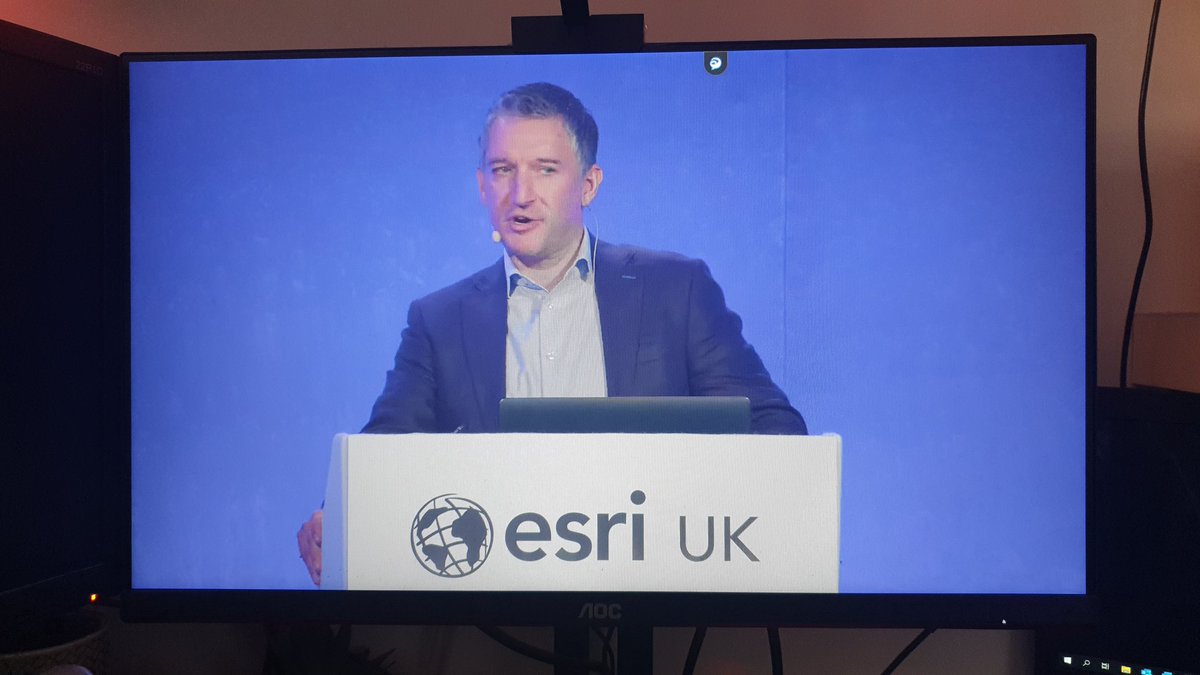
As biodiversity takes priority in land development in England, GIS is being tapped to illustrate where natural lands are now and where they can grow. 🌱 Details: ow.ly/Y2N050V3C6K
#Biodiversity #Nature

2
5
341
Andy Lee retweeted

12 Nov 2024
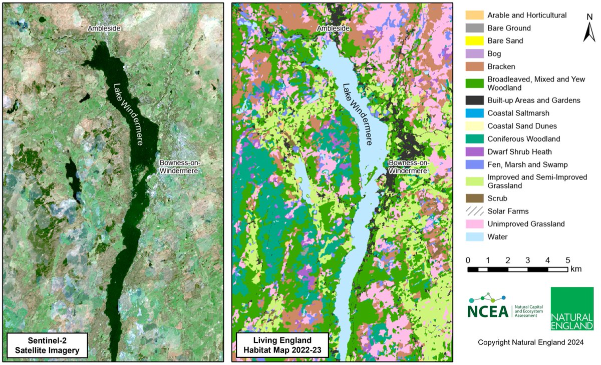
The new Living England 2022-23 habitat map is now live! Download freely from bit.ly/3Z0VENL (coming soon on Magic). It’s more reliable & user-friendly than ever - providing essential habitat data for natural capital monitoring across England.
1
32
63
6,350
Andy Lee retweeted

11 Apr 2024
Starting with #ArcGISPro 3.2, you can export all symbols in the map as style items and save them to a style in a single process! Want to learn more? Check out the blog below. 🌎
Read the blog:
esri.social/834E50RenyA
1
29
123
6,967
Andy Lee retweeted
17 Mar 2024
Science, evidence and analysis are at the heart of what Natural England does. I am incredibly proud of the work we have been able to showcase this #BritishScienceWeek, this is a taste of the range of specialisms across NE and the vital work we are delivering for nature recovery
2
7
503
23 Nov 2023
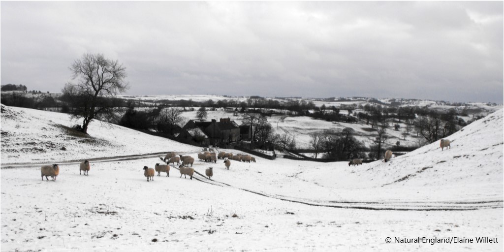
November 2023: Natural England #geospatial #OpenData Geoportal updates and new release. Check out the Moorland Change Map 2022-2023. Updates include designated sites, SSSI Impact Risk Zones, England Coast Path & Great Crested Newts planning areas tinyurl.com/ynaxzued🌳🌍
ALT Heather moorland
1
123
Andy Lee retweeted
20 Oct 2023
Help us improve MAGIC!
Natural England and Defra are conducting user research on our MAGIC interactive map service.
We need your help to inform future improvements by completing a short survey:
defragroup.eu.qualtrics.com/…
The survey takes 10 minutes and closes on 29th Oct.

4
4
497
20 Oct 2023
October 2023: @NaturalEngland #geospatial #OpenData updates released. Includes SSSI, SSSI Units and SACs. Also check out #NationalNatureReserve data for new reserves and #EnglandCoastPath. tinyurl.com/2s3f2wty
ALT Path through an urban park
51
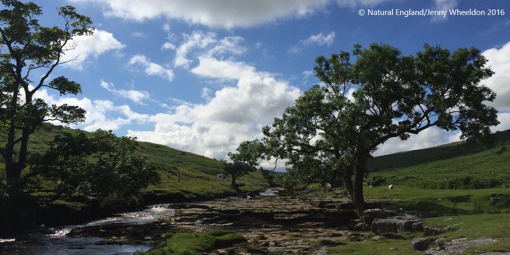
2 Oct 2023
September 2023 data updates: SSSI Units boundaries showing condition status, England Coast Path route & margin released on @NaturalEngland Open Data Geoportal naturalengland-defra.opendat… #DefraData @NEChiefSci
83

The new Maps Beta Services are now live and available to existing Maps subscribers from within the #ArcGIS Marketplace. To see what the hype is about, follow along as we test out these services, trial workflows and of course - make some #maps.
esri.social/2BSZ50PJXtI
#GIS

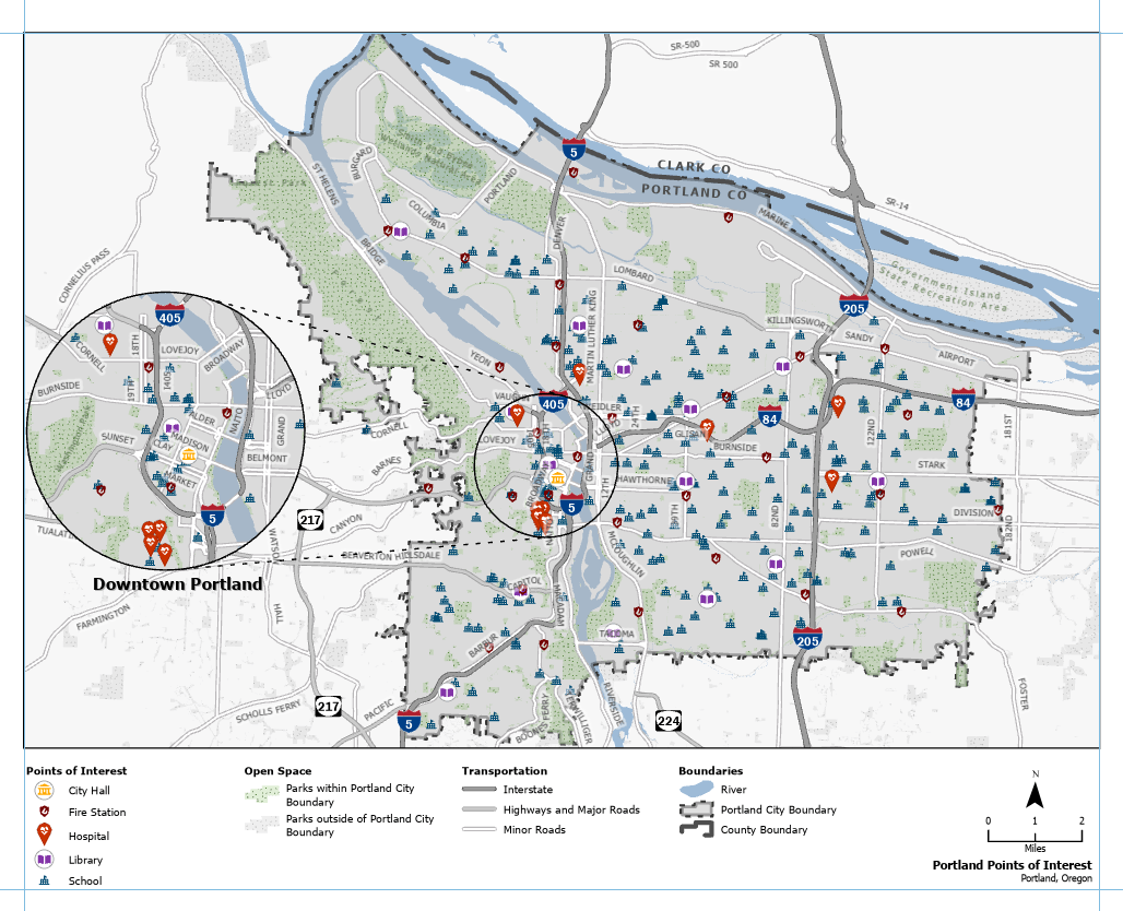
ALT Land use for sport distribution in greater london map
4
6
865
Andy Lee retweeted

30 Aug 2023
Opening day is here!🤩 Our spatial data science #MOOC has started, and everyone is invited to join - nearly 25,000 people already have. We hope to see you online! Start whenever you're ready.
Join the course: esri.social/hXPq50PFFMY

1
26
72
5,627
Andy Lee retweeted
21 Aug 2023
New to @ArcGISPro? Here are our top 2️⃣ courses to help you get started⬇️
💻FREE self-paced web course: esri.social/lFfa50PB0KM
👩💻3-day instructor-led course: esri.social/JB7s50PB0Lw

1
36
89
10,984
24 Aug 2023
August 2023 data updates: 3 x designated sites boundaries & England Coast Path route/margin released on @NaturalEngland #opendata Geoportal naturalengland-defra.opendat… #DefraData @NEChiefSci
ALT England coastline view, North Yorkshire coast
75
20 Jun 2023
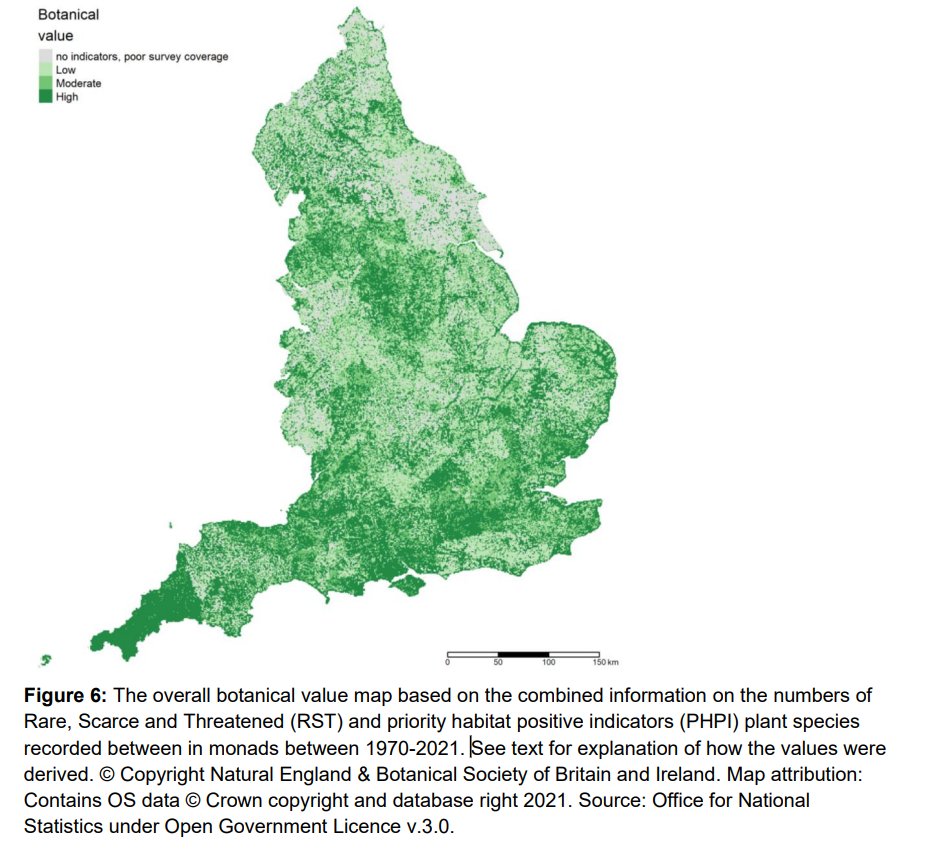
New release: Summarised Botanical Value Map 2022 (England) #geospatial #opendata layer on @NaturalEngland 's Open Data Geoportal naturalengland-defra.opendat… and Defra Data Services Platform environment.data.gov.uk/data…
20 Jun 2023

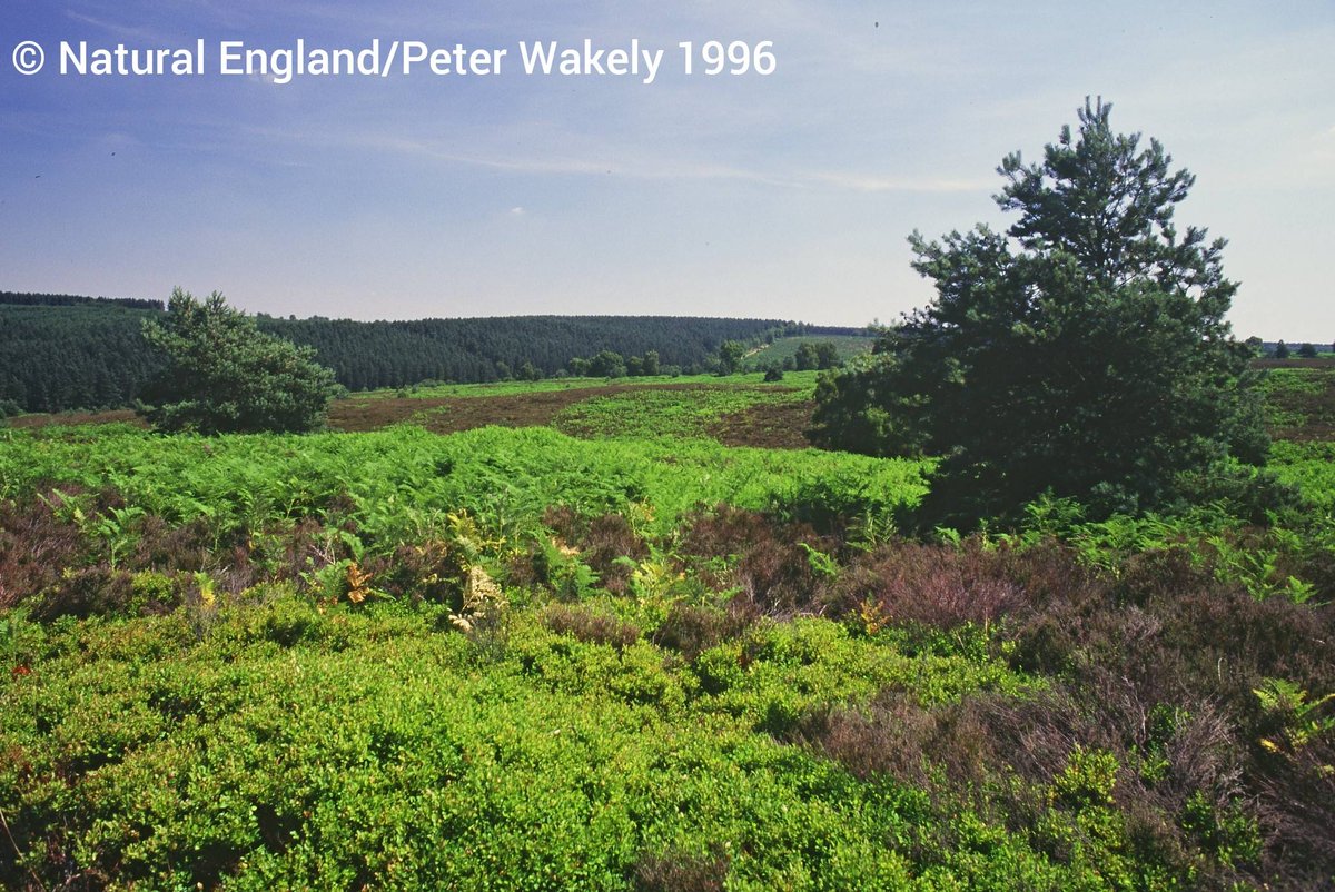
Our #BotanicalHeatmaps help to inform where tree and woodland cover could enhance biodiversity, and where to avoid planting to protect existing nature-rich habitat.
Find our updated Summarised Botanical Value map, in partnership with @BSBIBotany, here: bitly.ws/J3em
1
131
8 Jun 2023
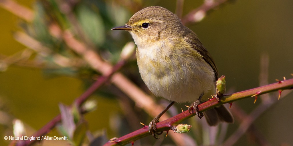
Do you have a passion for enabling access to #geospatial data on digital platforms and transforming #GIS data provision workflows and guidance? @NaturalEngland are looking for a permanent Geospatial Data Sharing Lead Adviser ow.ly/lWeq50OIVH6 Deadline Monday 19/06/2023
ALT Chiff Chaff bird perched on a branch
1
2
182
Andy Lee retweeted

18 May 2023
Many people have asked if my "hands-on" session at the #EsriUKAC this week is available. So, if you want to know how to run geoprocessing tools through #Python in #ArcGISPro then please click the link - data & instructions are included at the download page
bit.ly/AC2023_ArcPy
4
11
1,107

Andy Lee retweeted

16 May 2023
Updated BGS map portal webapps.bgs.ac.uk/data/MapsP…
Scans of maps are free to view for non-commercial purposes, but not available as #opendata. x.com/BritGeoSurvey/status/1…
16 May 2023

As part of our continuous effort to provide more open access to our data, BGS has launched the updated BGS Maps Portal, which includes 10 000 and 1:10 560 scale maps for the first time.
bgs.ac.uk/news/bgs-releases-…
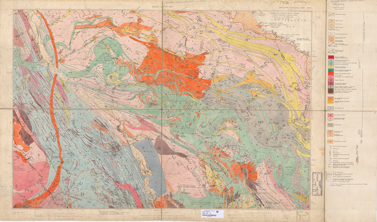
ALT Argyllshire sheet 84, solid and drift, 1:10 560, 1914. BGS © UKRI
2
4
6
1,972
Andy Lee retweeted
15 May 2023
Your GIS #maps are only as reliable as your #GIS data. Learn how to store, organize, and update accurate data in our 10-course Fundamentals of Data Management learning plan. esri.social/xQYF50OoAbB

11
41
3,776
Andy Lee retweeted
12 May 2023
New to @ArcGISOnline? Use this (free) course from Esri to get started. ☁️🗺️ esri.social/uJuh50OkJxy

1
12
48
5,855