Community rescue archaeology at the coast
- Tweets 956
- Following 683
- Followers 1,813
- Likes 1,779


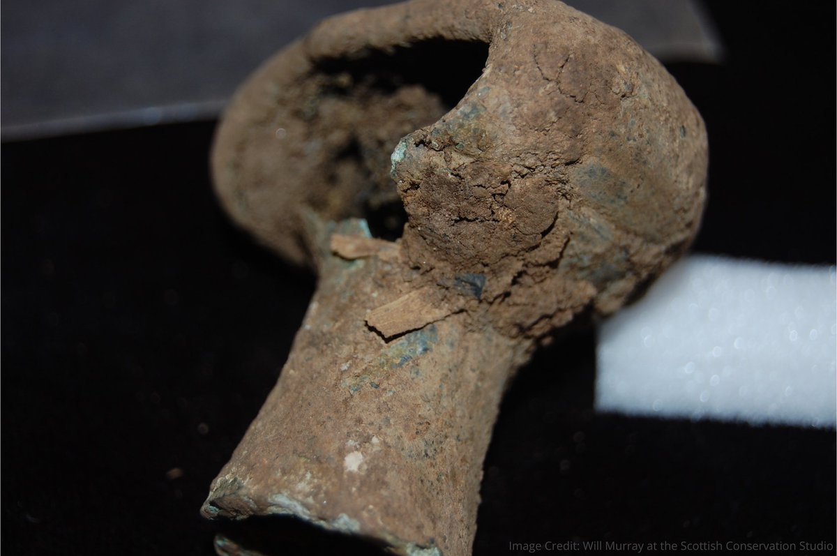
ALT A broken, bronze spearbutt in the shape of a doorknob
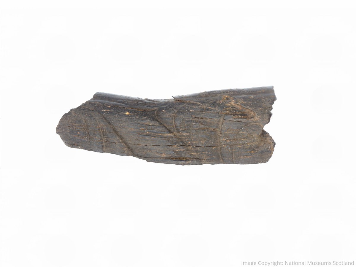
ALT Shale bangle fragment decorated with hand-carved Celtic art motifs (including crescent motifs, scroll designs and curved lines)
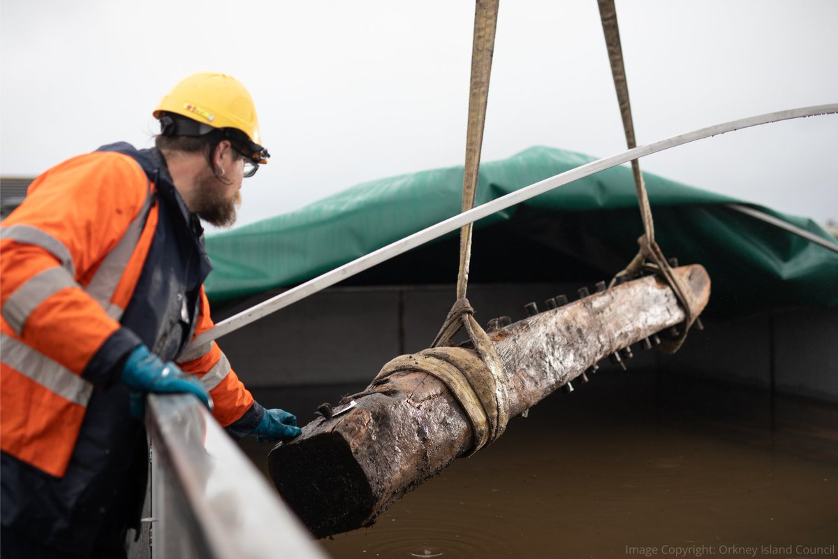
ALT Old timbers being transferred to the large water tank by a person wearing a high-vis jacket

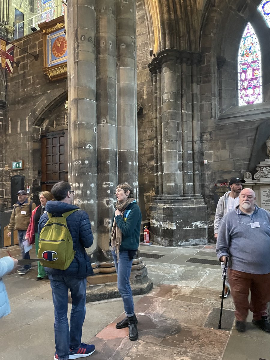
ALT People stand and chat in Glasgow Cathedral.


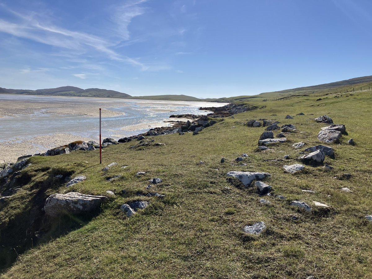
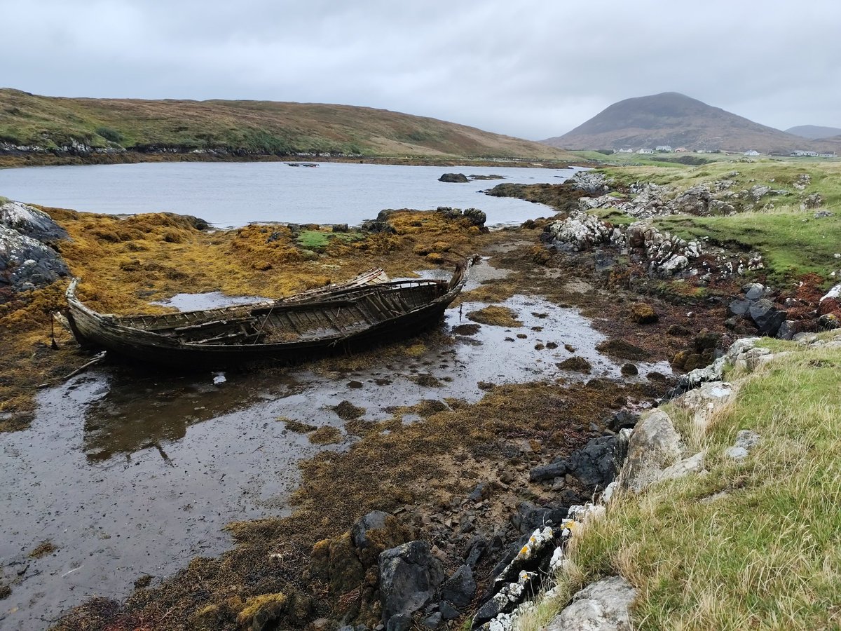
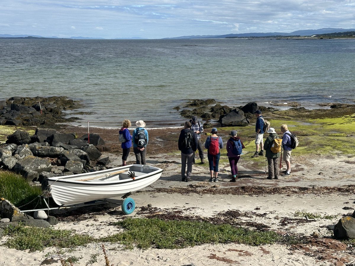
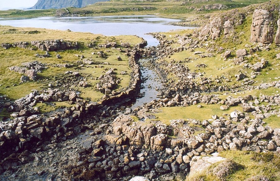
ALT Volunteers record a cleared slipway at A'Chleit, on the west coast of Kintyre, with Gigha and Tayinloan in the background. Our research showed that this area was rich in landing places, used by people heading to Gigha and beyond for centuries.
ALT Aerial view of the Rodel Park accommodation block (SCAPE ID 16450). The concrete hard standing for five Nissen huts are visible, as well as the air shaft for the air raid shelter in the bottom right. Ken Watson, who served at Rodel Park, recalled his arrival at his Nissen hut accommodation and its remarkable position: the highest and closest to the sea. Another of the Nissen huts accommodated the Canadian personnel and was named ‘Canada House’.

ALT Image: Rubha an Dùnain by A' chachaileith - Own work, Public Domain, https://commons.wikimedia.org/w/index.php?curid=3109638
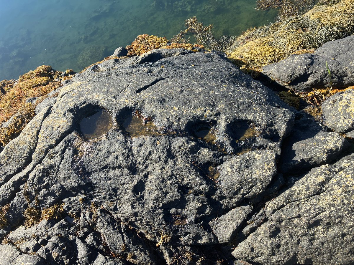
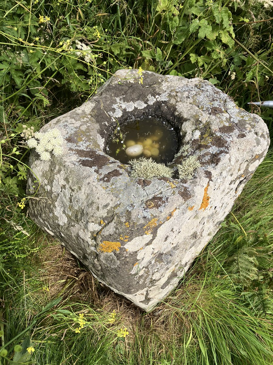
ALT The stone font can be found in long grass on the edge of the beach below Pennyseorach Farm. Like other ancient rock-cut basins this one has strong associations with religion and offerings and could date from the medieval period. It stands on land once owned by nearby Kilmashenachan Farm which was first mentioned in 1614 as belonging to the Bishop of Whithorn and which may have supported the small early-medieval chapel on nearby Sanda Island. This stone is steeped in local folklore and tradition. For generations, locals have placed quartz pebbles, coins, and metal needles into its hollowed top to bring good luck, prosperity and fertility for the land in the coming agricultural year. A ritual possibly linked to the Celtic festival of Imbolc and St. Bride’s Day. The place name itself has raised considerable debate over the years with some suggesting that the “Rat” element may be of Scandinavian origin, referring to a meeting place, or that it may represent an element of a persons name.
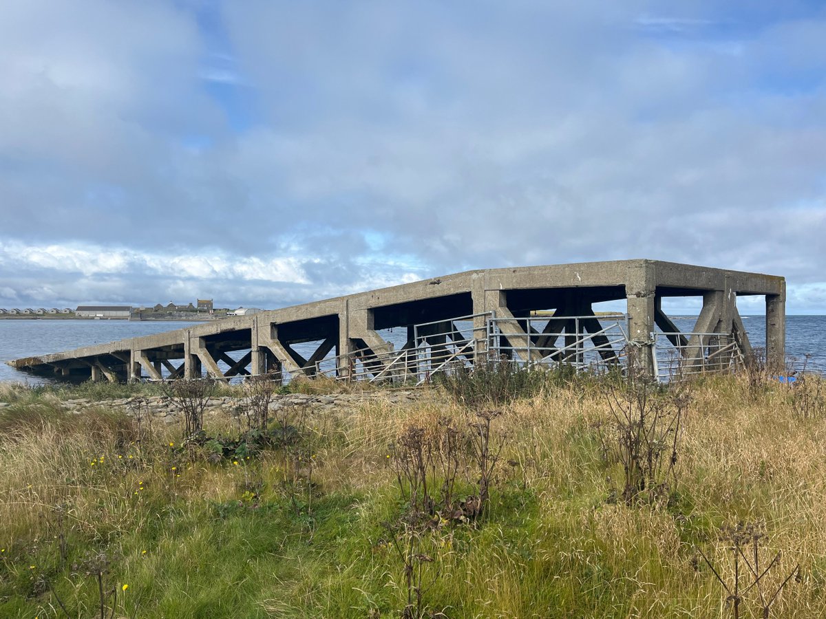
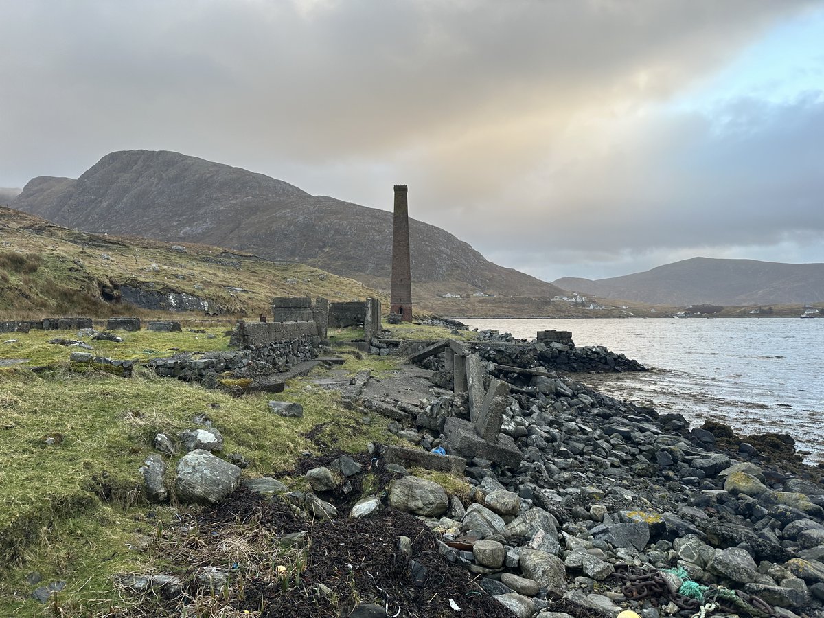
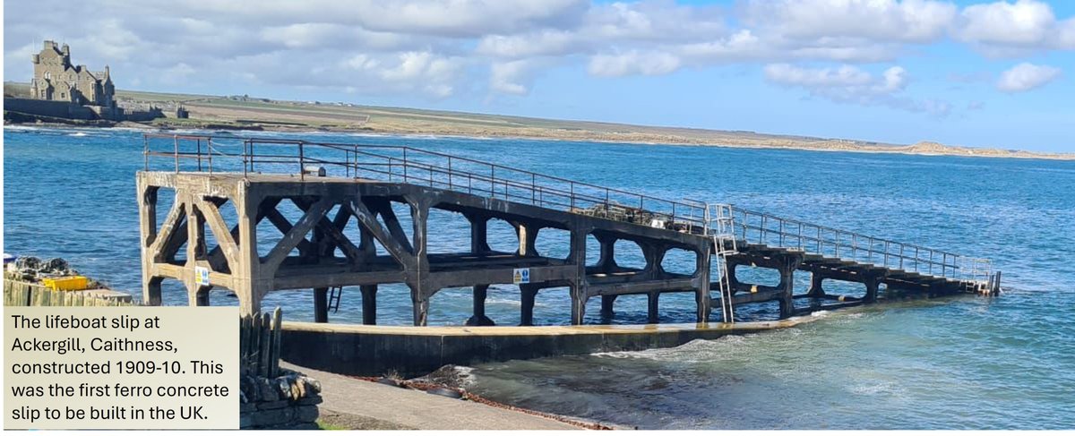
ALT The rare early concrete lifeboat slipway at The Station built in 1911, home of the John Ryburn lifeboat.

ALT Schoolchildren from Stronsay School line up beside Kelping steethes or drying walls showing the possible coast in 2050.

ALT A building eroding from the coastline at Clestrain - could this be the "Fleshous" (storehouse) used to store payment in kind mentioned in a 17th century charter?

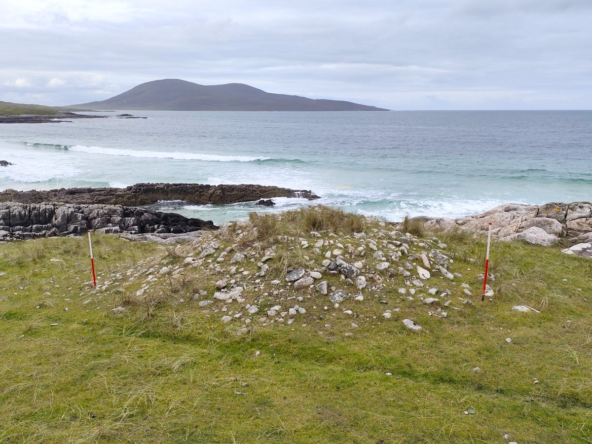
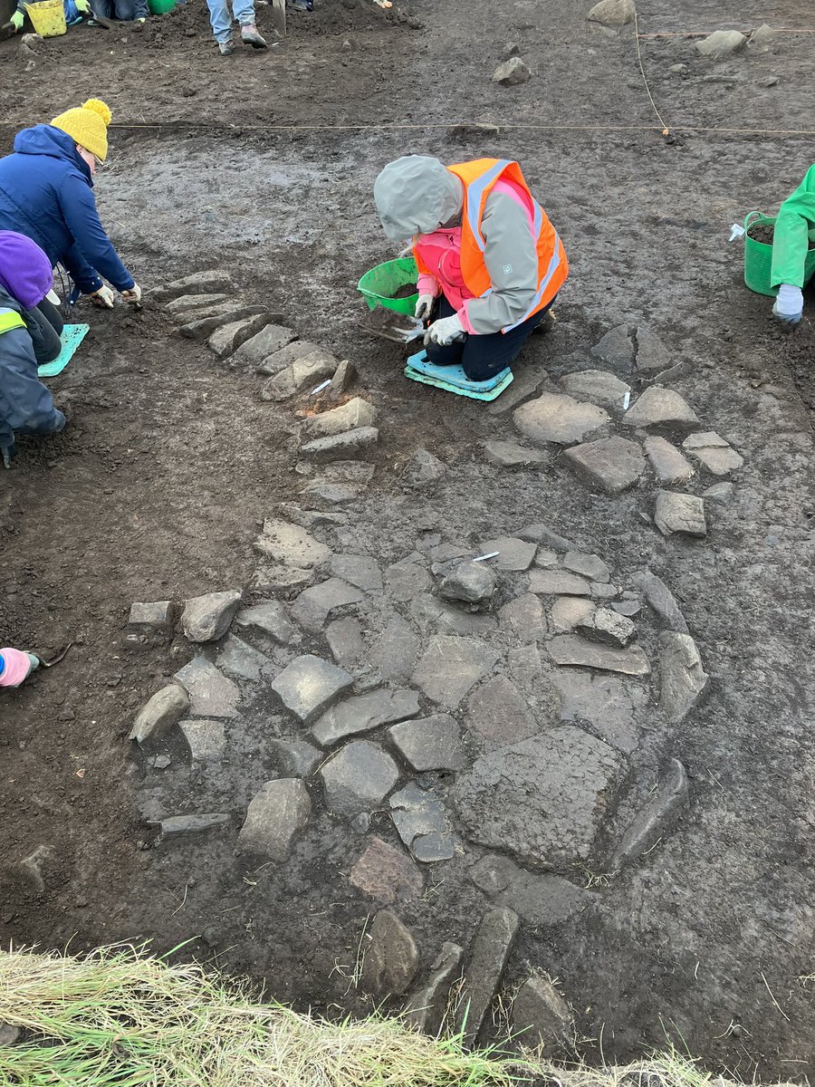
ALT A newly discovered eroding structure and midden near Whitehall which could be prehistoric.

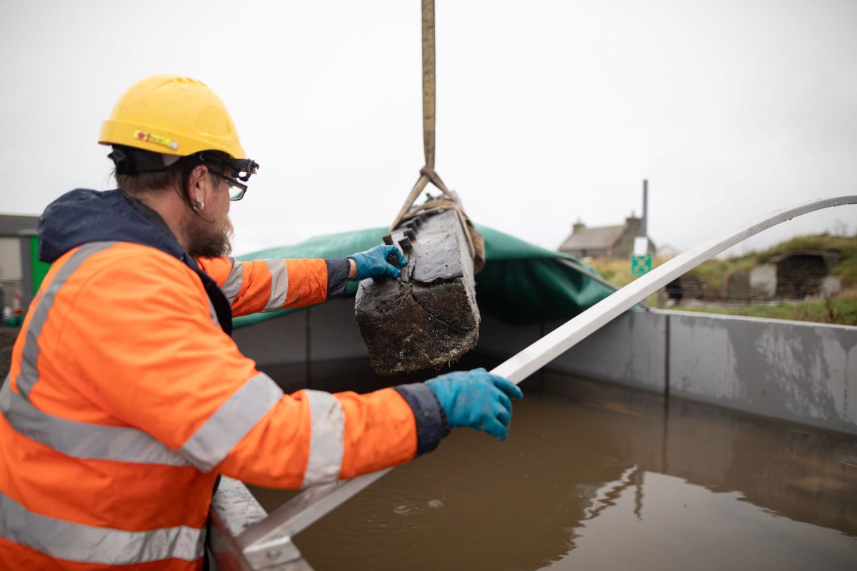
ALT It's a bleak, rainy day in Orkney with a grey sky. Senior marine archaeologist Ben Saunders guides the timbers into the conservation tank.

ALT A submerged piece of timber in the tank. The water is crystal clear.
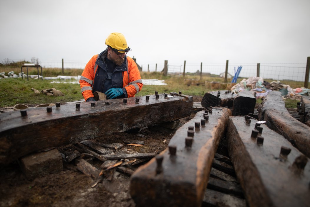
ALT Ben crouches next to the timbers and fastens a belt around them. This will help hoist them into the tank.
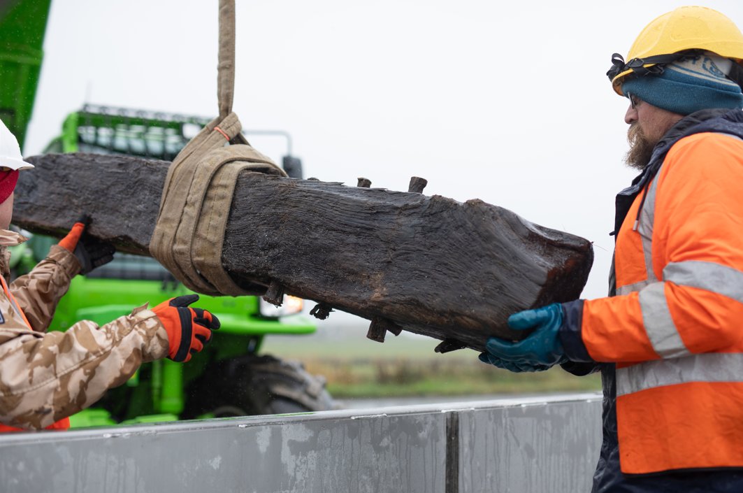
ALT Two men hold either end of the timber as it's lifted into the tank.
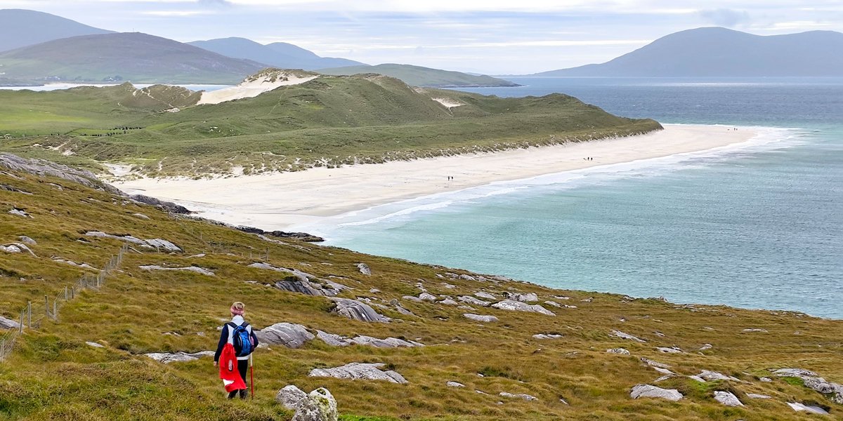
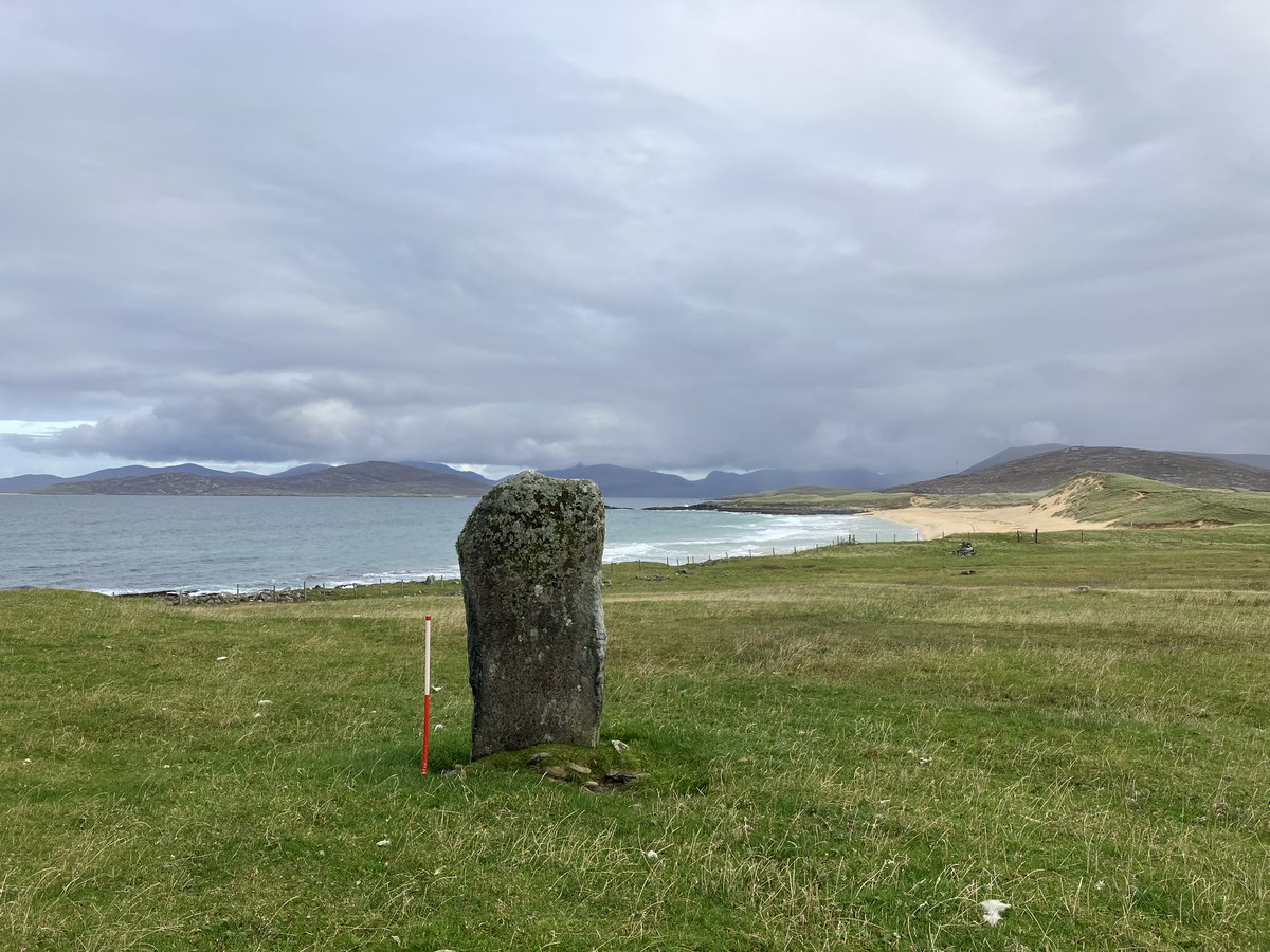
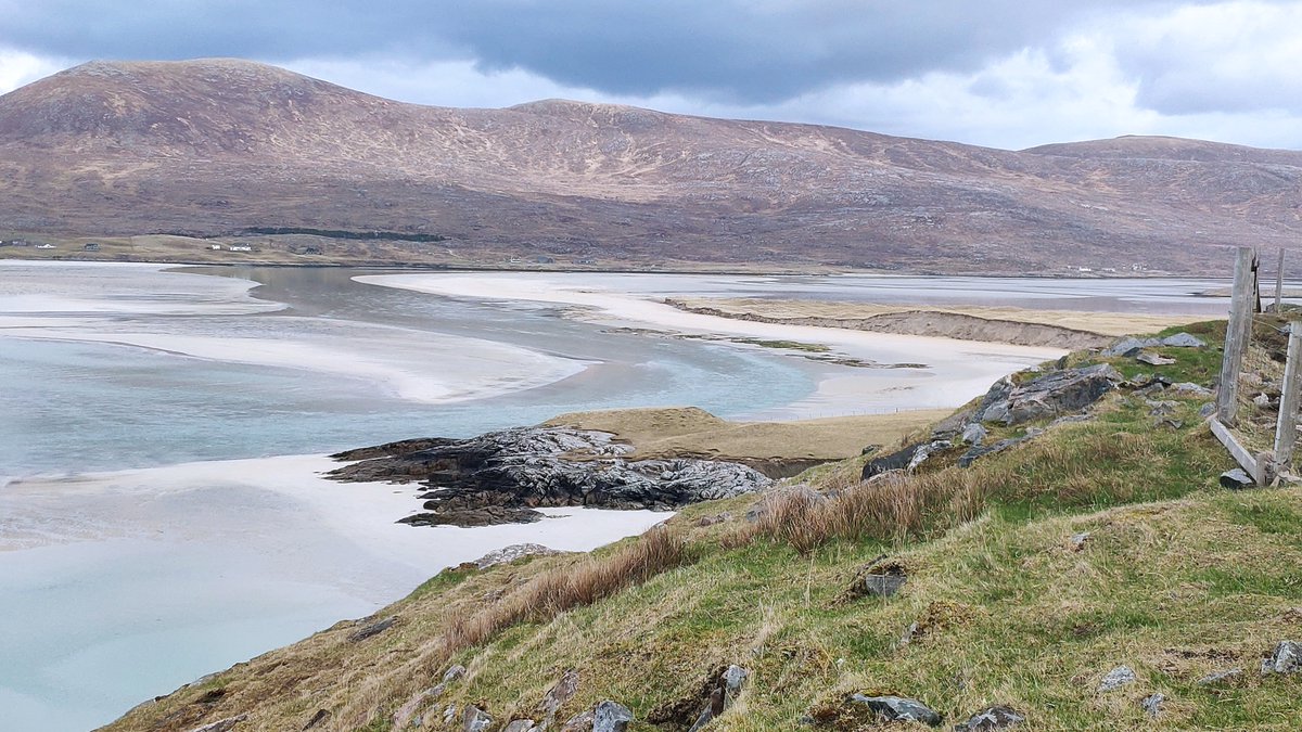
ALT Layers of history are revealed in this bird's eye view of Traigh Daoidhn at Crabhadail in North Harris. A shieling (seasonal dwelling) is tucked into feannagan (cultivation ridges) which curve around the sites of still older houses. A later sheepfold (but still old!) shows up in fresh white stone. Old Norse and Gaelic placenames of every natural feature in this landscape also tell the story of its long history.