
Discover robust APIs and SDKs, analysis-ready geospatial datasets and tools, powerful cloud computing, and no-code geospatial evaluation and analysis tools.
- Tweets 5,945
- Following 141
- Followers 292,815
- Likes 1,057

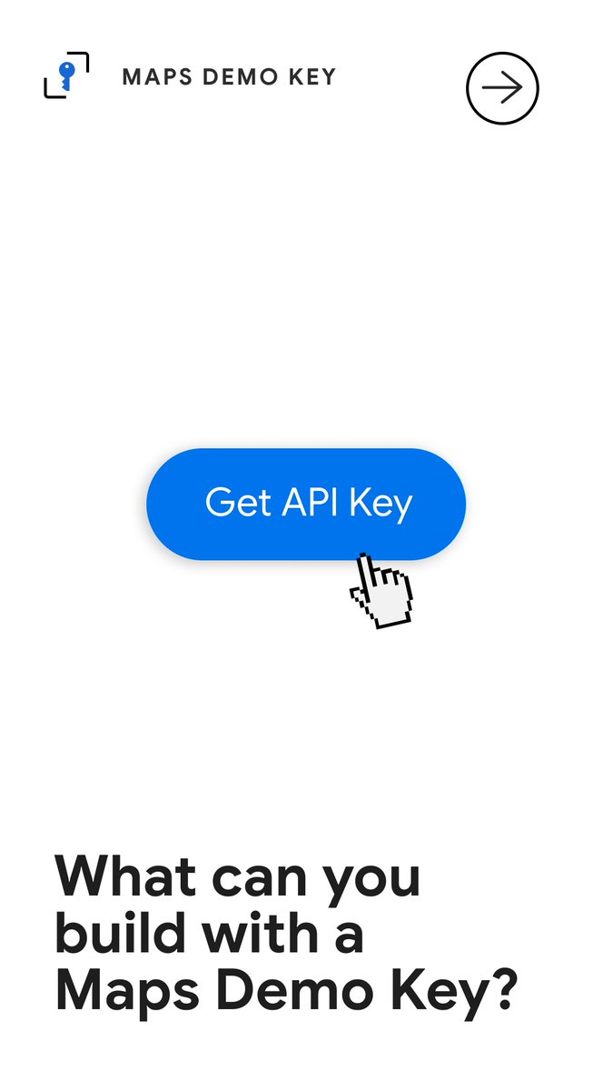


ALT A user interface featuring a blue button labeled "Get API Key" in the center with a hand cursor hovering over it. Above the button, the text "MAPS DEMO KEY" is displayed next to a key icon, and below, a large header asks, "What can you build with a Maps Demo Key?". An arrow icon inside a circle is positioned in the top right corner.
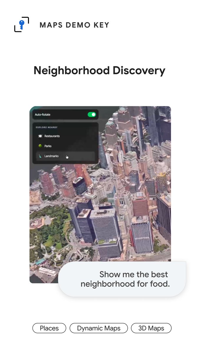
ALT A promotional graphic for "Neighborhood Discovery" features a 3D aerial city map with an "EXPLORE NEARBY" menu for restaurants, parks, and landmarks. A text bubble at the bottom reads, "Show me the best neighborhood for food," above pill-shaped buttons labeled "Places," "Dynamic Maps," and "3D Maps." The top of the image displays the "MAPS DEMO KEY" logo and the feature title.
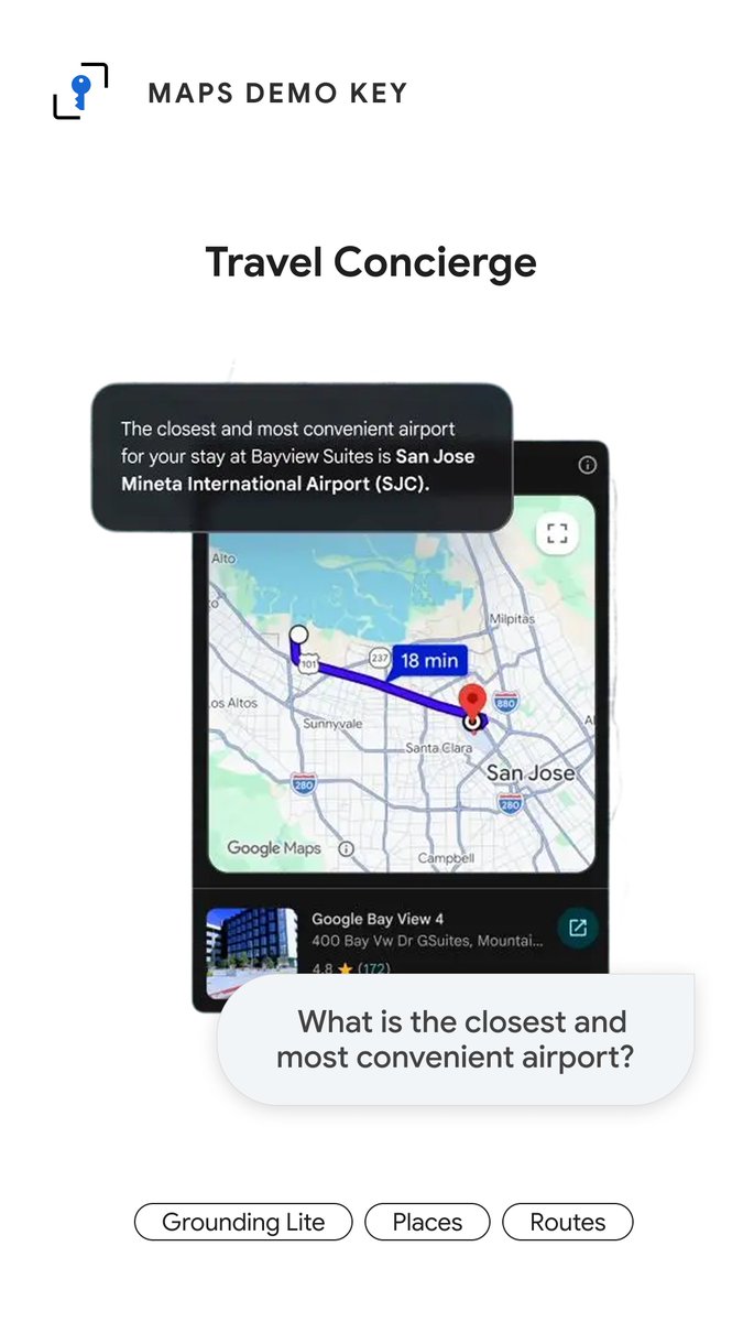
ALT A "Travel Concierge" demo interface shows a smartphone displaying a map of San Jose with an 18-minute route highlighted. A user chat bubble asks, "What is the closest and most convenient airport?" and a response bubble identifies San Jose Mineta International Airport (SJC) as the best option for their stay. Buttons at the bottom of the screen are labeled "Grounding Lite," "Places," and "Routes."
ALT A promotional graphic for a maps API featuring a blue key icon above the text "MAPS DEMO KEY" and a large heading that reads "Start building today." A blue button labeled "Get API Key" sits in the center with a hand cursor clicking it, while a satellite view of a coastline appears in the bottom right corner.


ALT A highway scene with cars and overhead signs is overlaid with cyan and green bounding boxes from an object detection system. The boxes label elements such as "Street Lamp," "Utility Pole," "Tree," and "Sign" with decimal confidence scores, while a white sign on the left reads "SPEED LIMIT 95." This illustrates a computer vision system identifying roadside infrastructure and traffic signs in a real-world driving environment.

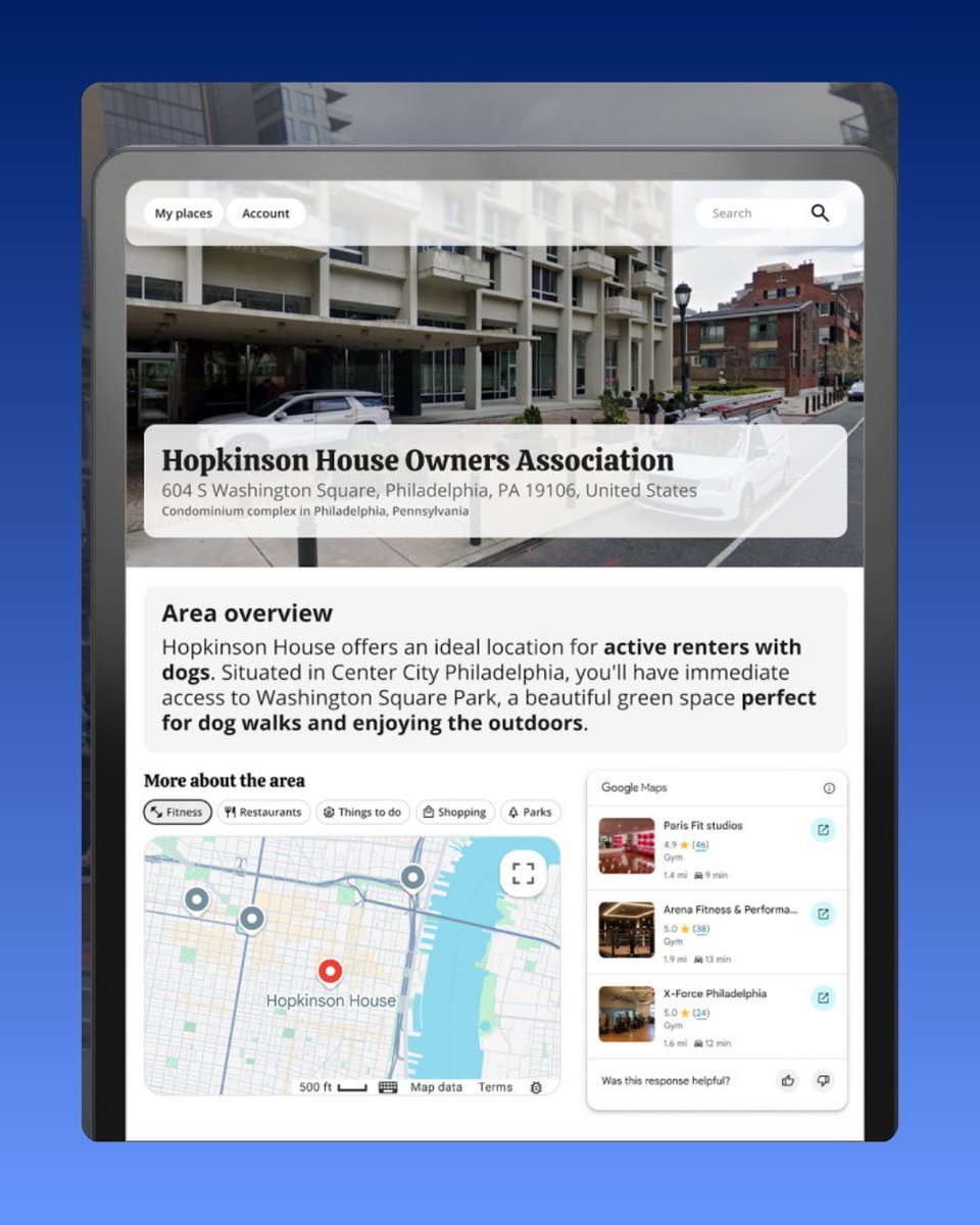
ALT A digital interface displays information for the Hopkinson House Owners Association in Philadelphia, featuring a hero image of a modern white condominium building. Below the image, an "Area overview" section describes the location as ideal for renters with dogs due to its proximity to Washington Square Park. The bottom of the screen includes an interactive map and a list of nearby fitness centers with ratings and travel times, with navigation buttons for "My places" and "Account" at the top.
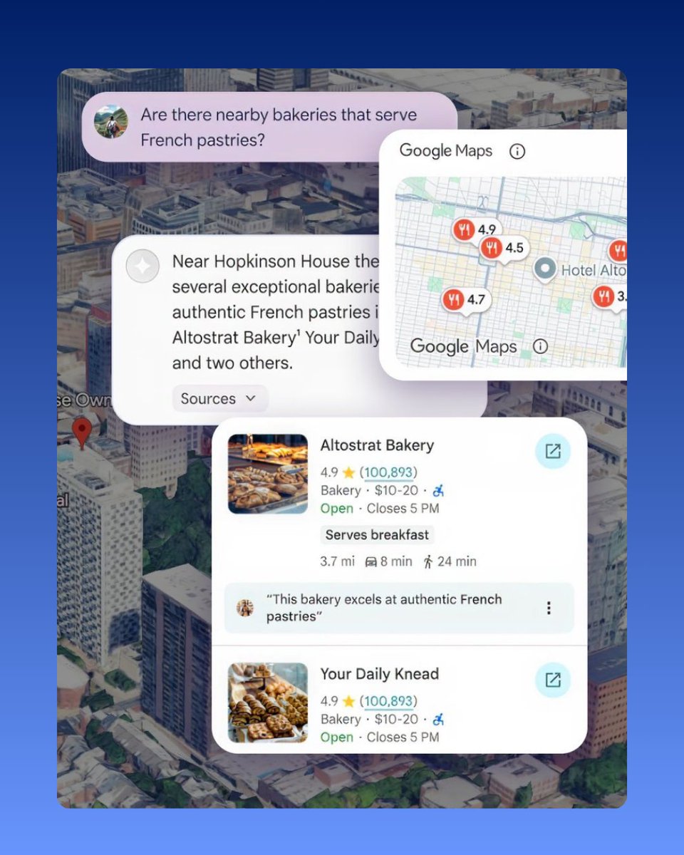
ALT An AI chat interface provides local bakery recommendations in response to a user's question, "Are there nearby bakeries that serve French pastries?" The results include a text summary, a Google Maps snippet with pinned locations, and detailed business cards for "Altostrat Bakery" and "Your Daily Knead" showing ratings, prices, and review highlights. The entire interface is overlaid on a blurred aerial city map.
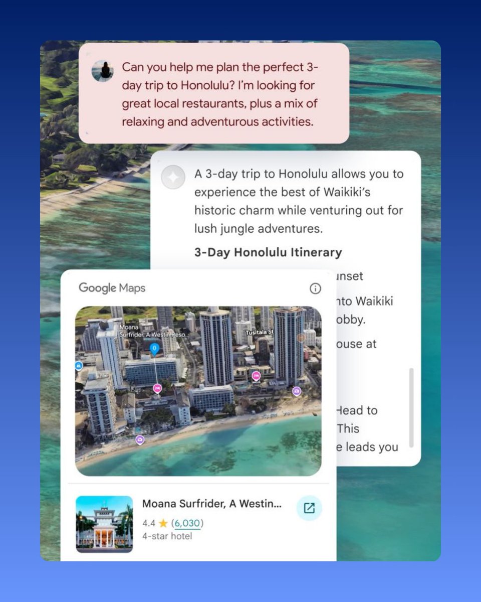
ALT A chatbot interface shows a user asking for a 3-day Honolulu itinerary with local food and a mix of relaxing and adventurous activities. The AI responds with a suggestion to experience Waikiki’s historic charm and jungle adventures, accompanied by a Google Maps widget showing an aerial view of the Moana Surfrider hotel. The background is a scenic aerial shot of a tropical coastline and turquoise ocean.

ALT A hand holds a smartphone displaying an AI chat interface where a user asks for a cocktail bar recommendation near their hotel. An AI response describes Next Door Speakeasy as a bar with imaginative cocktails and food like oysters and tuna tacos, accompanied by a Google Maps card showing the location and a 4.6-star rating.
ALT A hot air balloon floats above a city street.
ALT A spacecraft floating in front of a large arc.
ALT A highllighted path leading into a building.
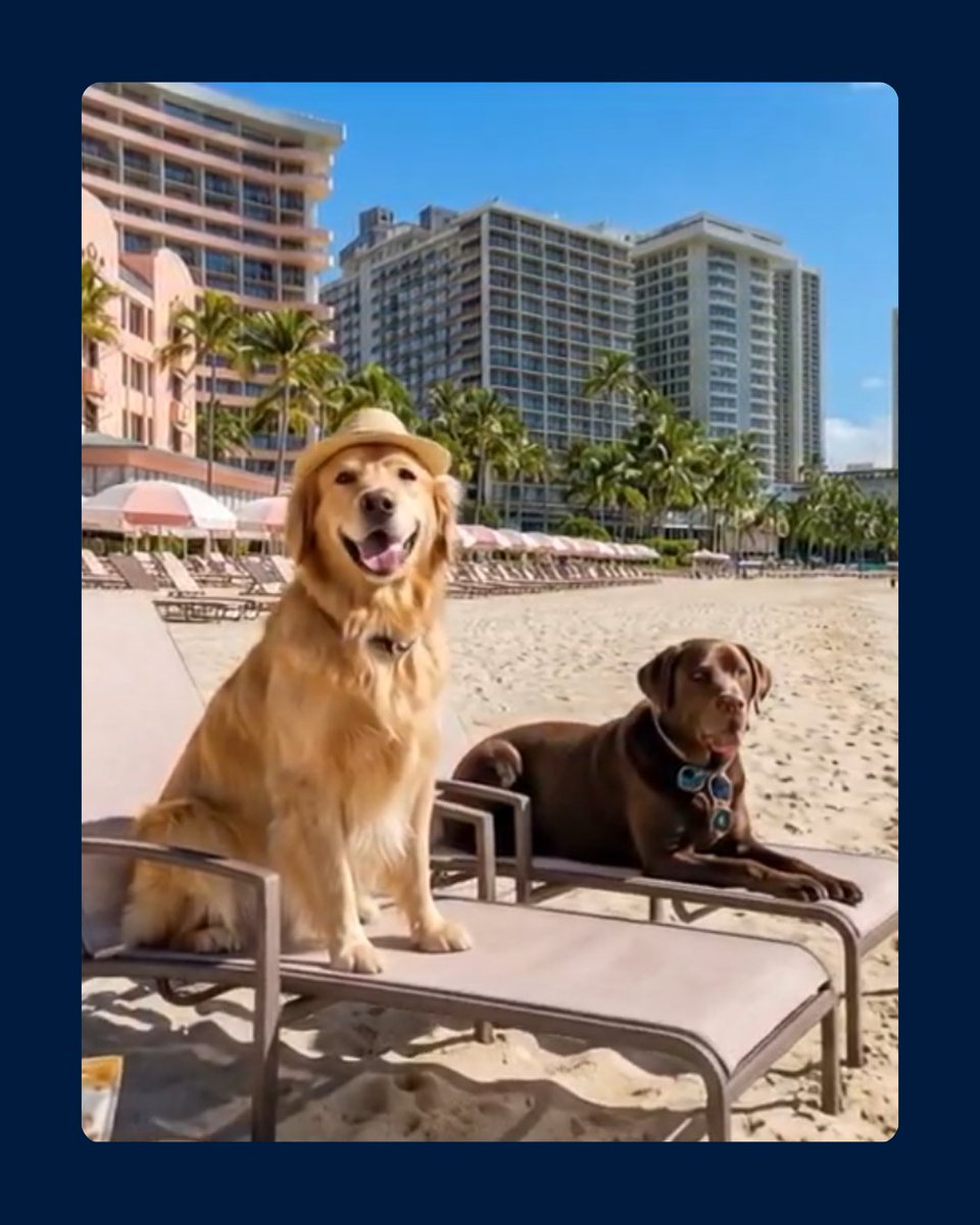
ALT Two dogs on a beach.
ALT A van with the word mobi on it.
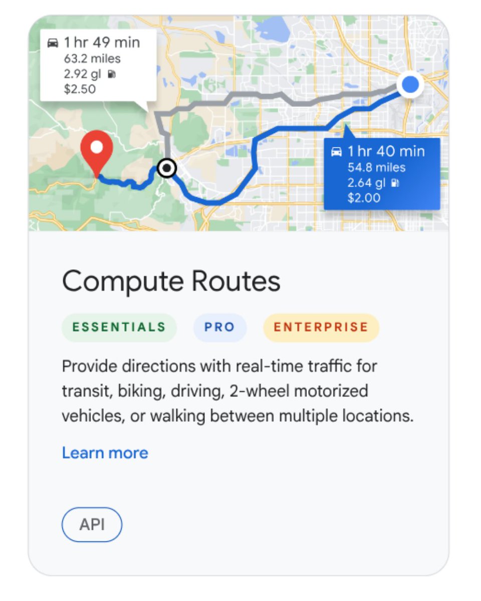
ALT A card for "Compute Routes" displays a map with two paths showing travel data, such as a blue route labeled "1 hr 40 min" and a gray route labeled "1 hr 49 min." Below, text describes providing real-time directions for various transit modes, with badges for "ESSENTIALS," "PRO," and "ENTERPRISE" service tiers. The bottom of the card includes a "Learn more" link and an "API" button.
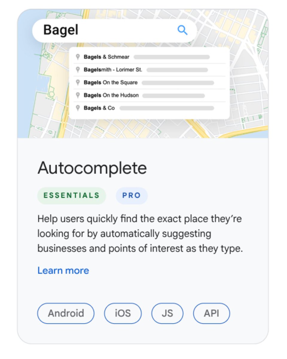
ALT A promotional card for an Autocomplete feature displays a search bar over a map with the word "Bagel" and a dropdown of shop suggestions like "Bagels & Schmear". The card includes descriptions of the feature, "ESSENTIALS" and "PRO" labels, and buttons for Android, iOS, JS, and API platforms.

ALT A feature card for "Text Search" showing a map with "EV charging station" search results and several green pins. The text below identifies the feature's tiers—ESSENTIALS, PRO, and ENTERPRISE—and describes its function to provide place information based on a search query and location, with "JS" and "API" labels at the bottom.

ALT An informational card for Geocoding featuring an aerial photo of Plaza Mayor with its coordinates on a location pin. The text below describes the service as an essential tool to convert addresses to geographic coordinates or the reverse, with tags for "JS" and "API" at the bottom.
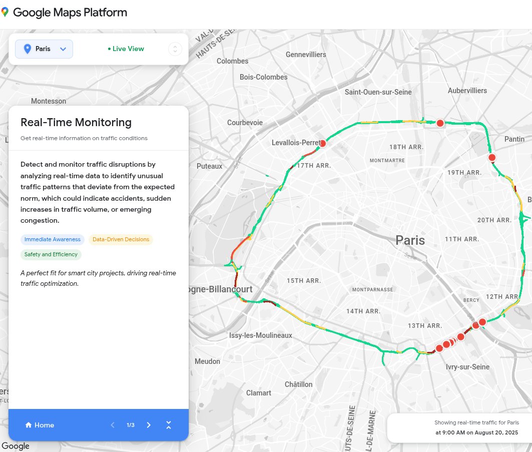
ALT A Google Maps Platform interface displays "Real-Time Monitoring" of traffic conditions in Paris, France. A sidebar on the left describes how the tool detects traffic disruptions by analyzing real-time data, while the map on the right shows a color-coded ring road with red incident markers.

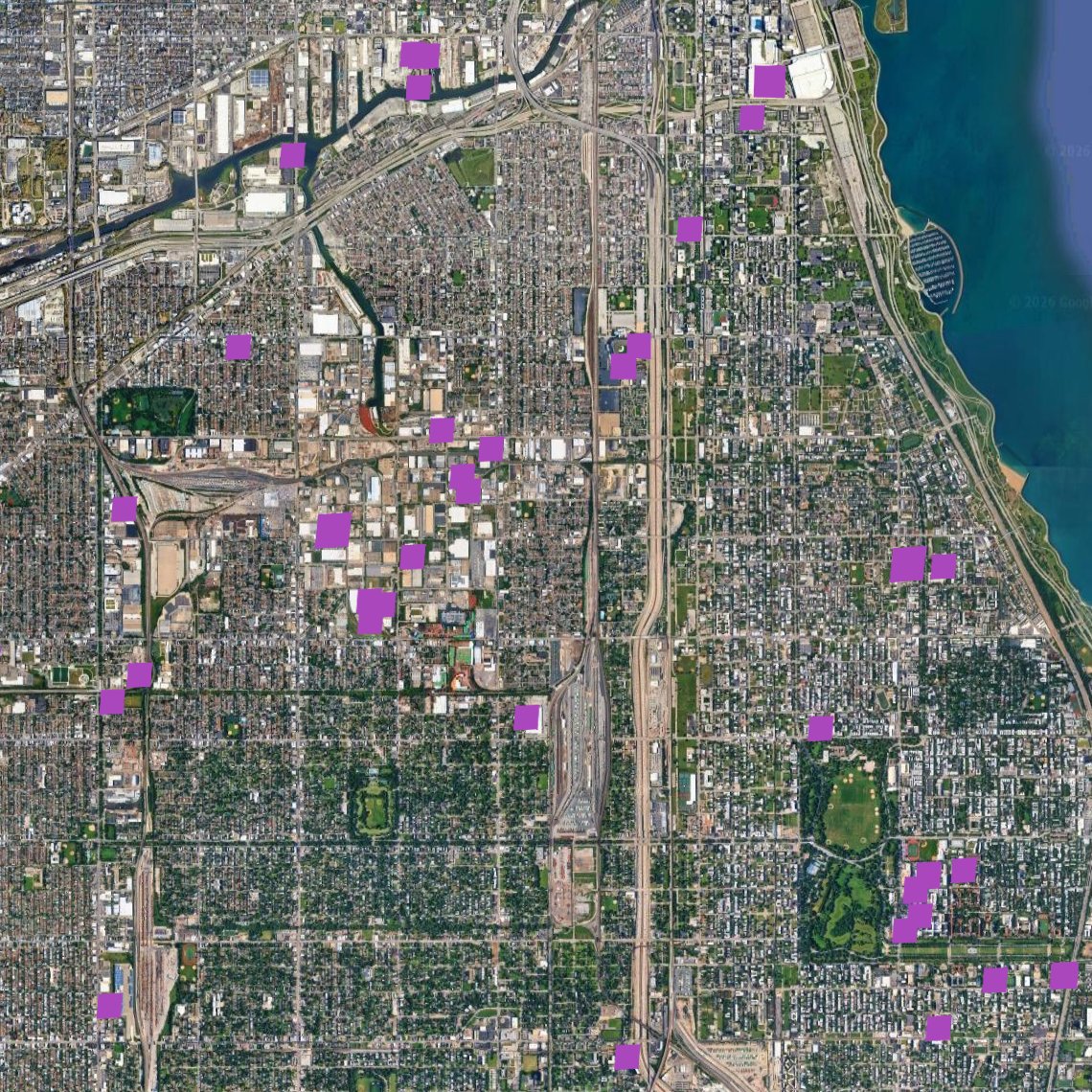
ALT Aerial view of a coastal area with sections highlighted in purple.
ALT A person takes a selfie with a snowy backdrop on a screen. A sign above the screen reads "Real-world AI."
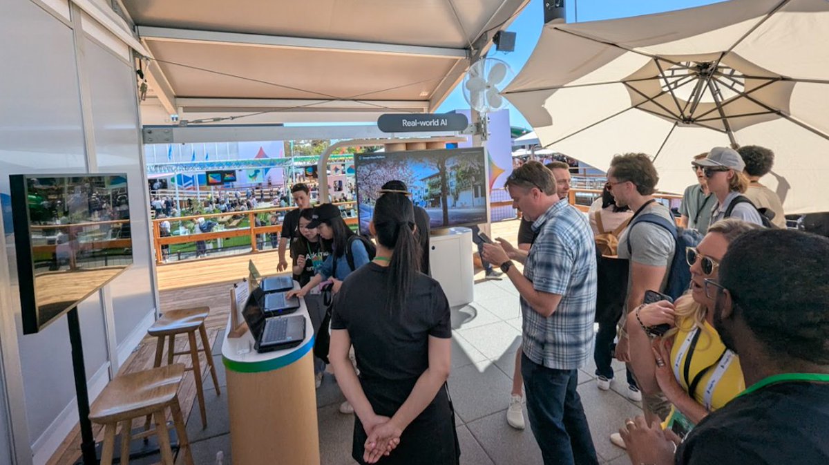
ALT People chat and look at a screen in a booth with a sign reading "real-world AI"
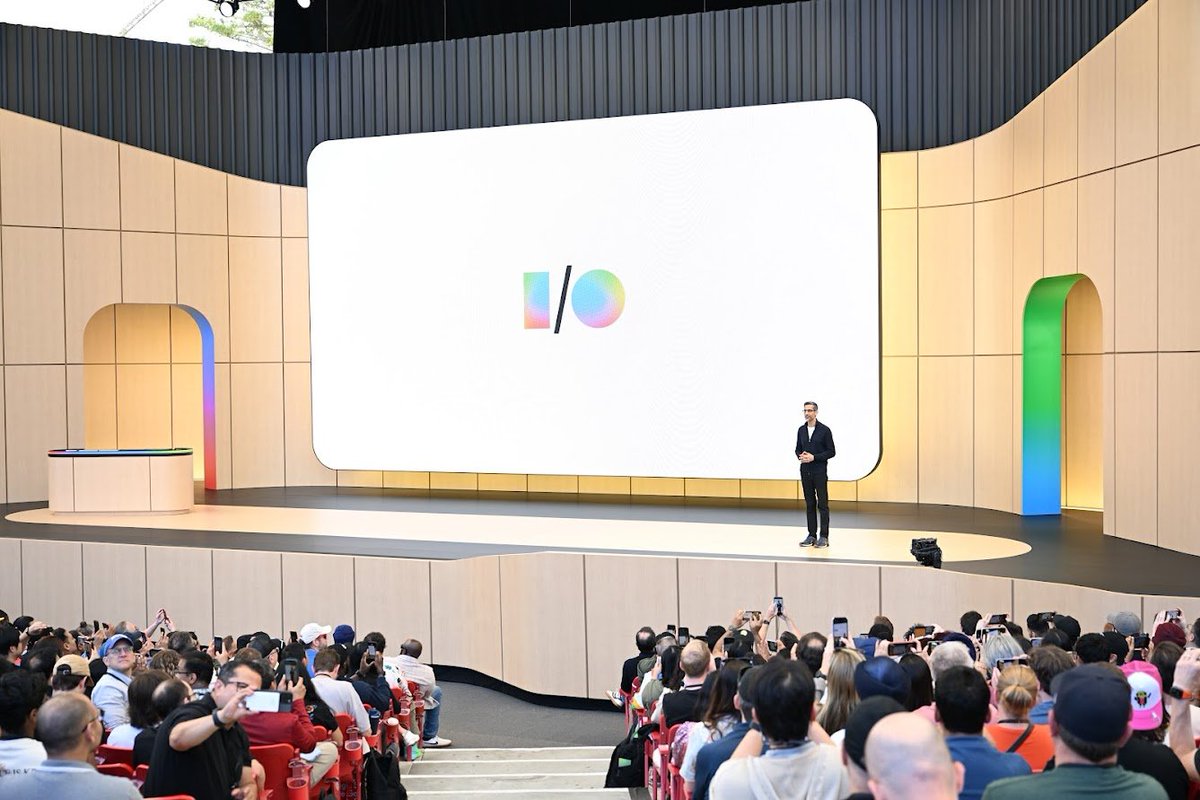
ALT A person on a large stage with a screen showing the I/O logo addresses an audience.
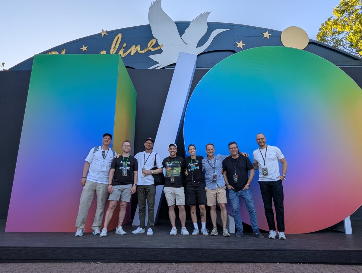
ALT A group of people in front of a large prop of the I/O logo.
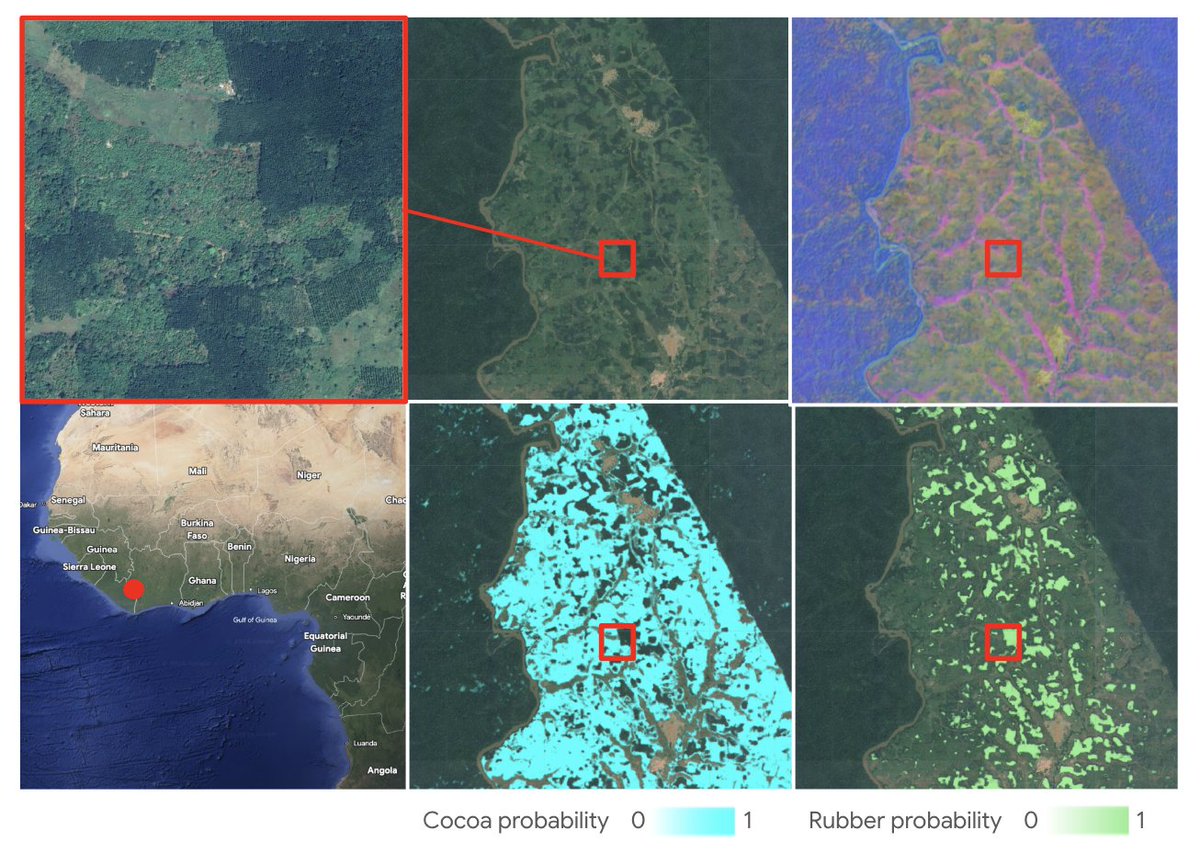
ALT Six panels display satellite imagery and maps of a West African region, with a red dot on a map of the Ivory Coast/Ghana area indicating the location. The top panels show zoomed-in, natural-color, and false-color views of a forested landscape, while the bottom panels show "Cocoa probability" in cyan and "Rubber probability" in green. A red square across several panels highlights a specific area where these different layers of data are compared.

