
We promote community preparedness, respond to emergencies and disasters by supporting municipalities, and maintain resources for disaster response.
- Tweets 14,307
- Following 183
- Followers 6,162
- Likes 2,785


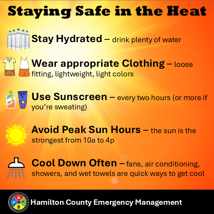
ALT Orange background with yellow sun in the upper left corner. Staying safe in the heat. Stay hydrated – drink plenty of water. Wear appropriate clothing – loose fitting, lightweight, light colors. Use sunscreen – every two hours (more if you’re sweating). Avoid peak sun hours – the sun is strongest from 10a-4p. Cool down often – fans, air conditioning, showers, and wet towels are quick ways to get cool.
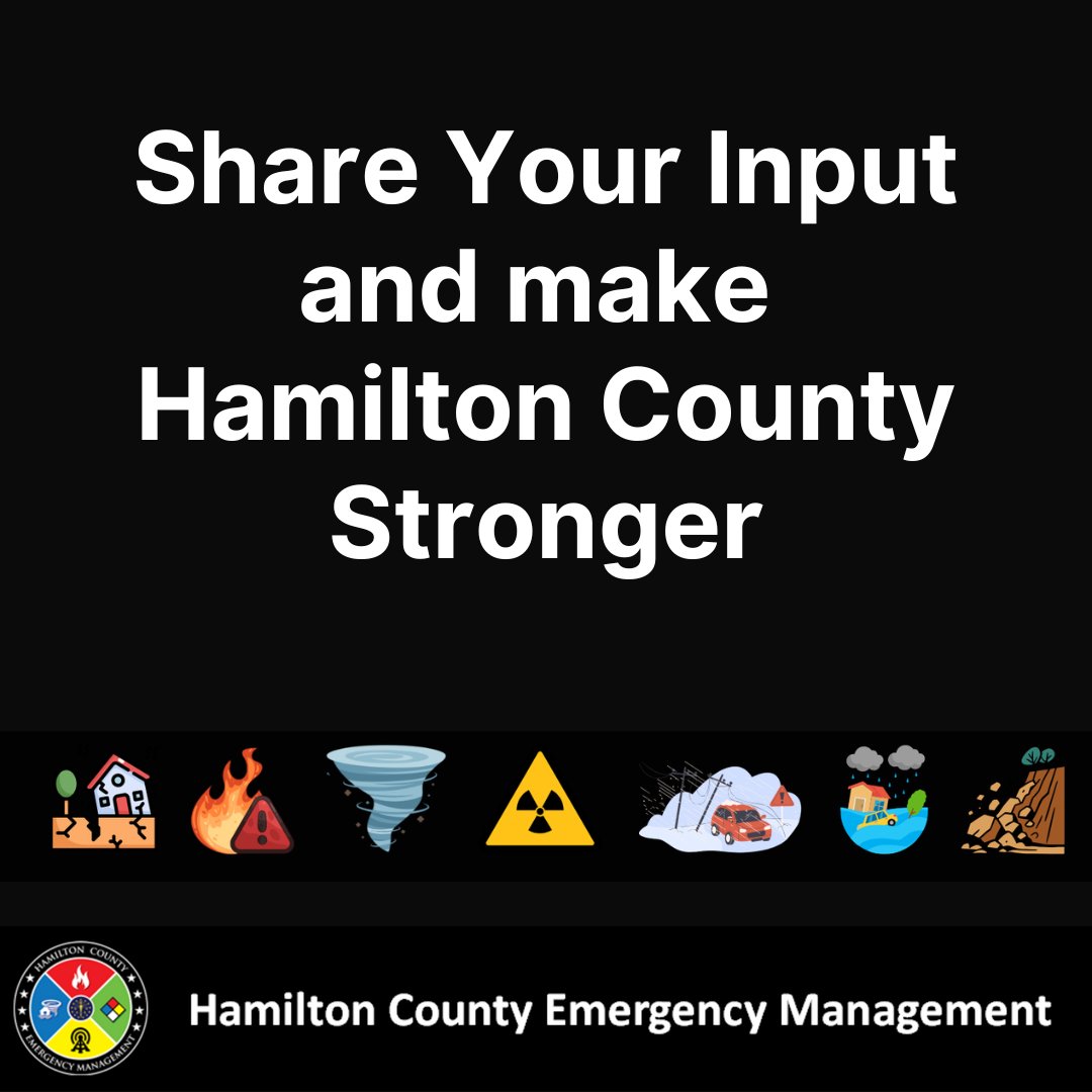
ALT Black background with images of hazards that may be experienced in Hamilton County. White text says “Share Your Input and make Hamilton County stronger.” Hamilton County Emergency Management’s logo is at the bottom.
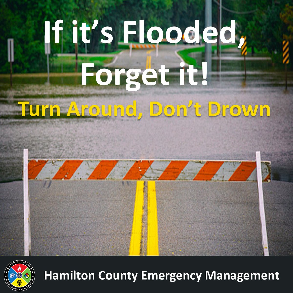
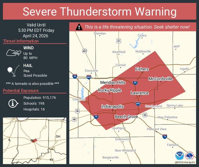
ALT Bright green background with black letters and a graphic indicating a Flood Advisory.
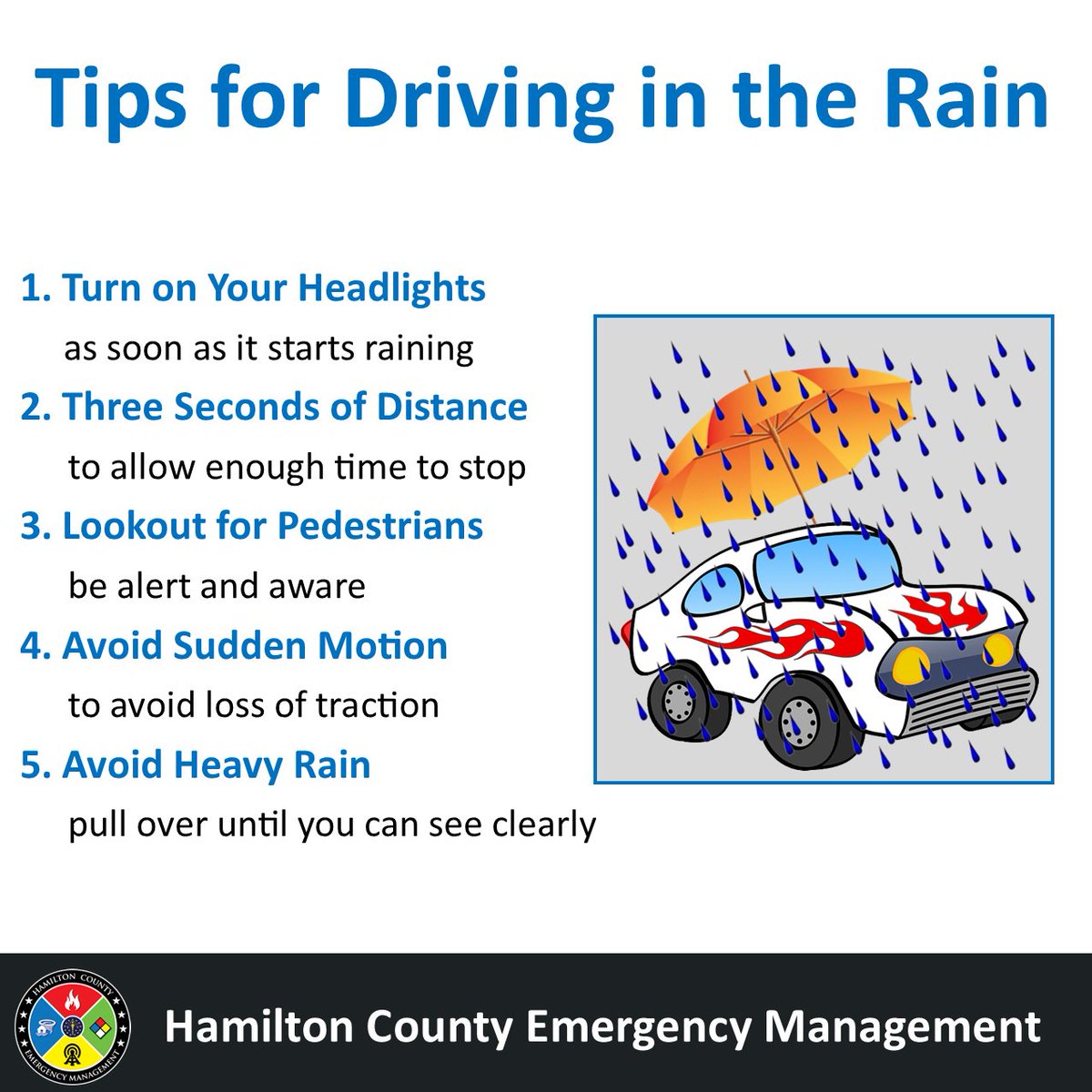
ALT The infographic gives tips for driving in the rain. Turn on your headlights as soon as it starts raining. Three seconds of distance to allow enough time to stop. Look out for pedestrians, be alert and aware. Avoid sudden motion to avoid loss of traction. Avoid heavy rain pull over until you can see clearly.
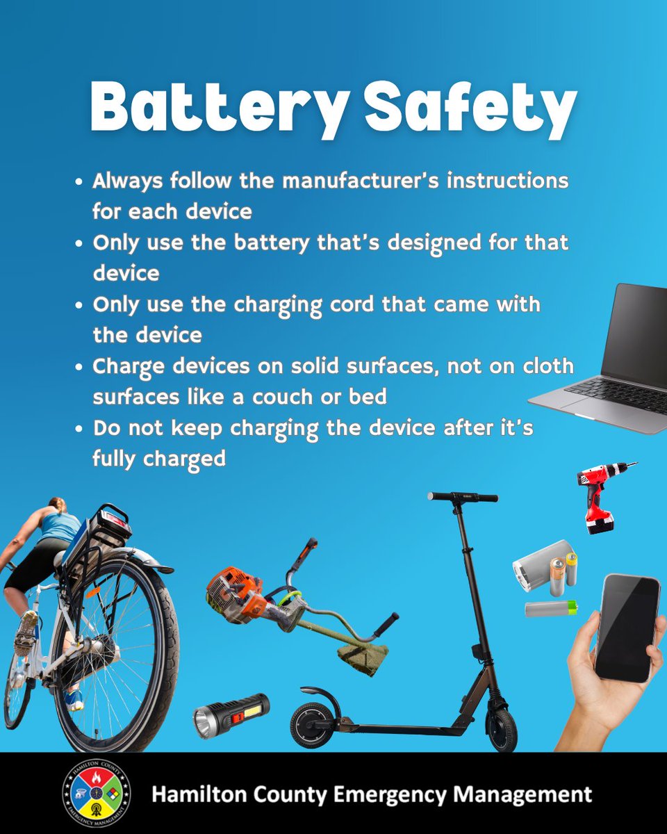
ALT Blue background with a variety of everyday items that are battery powered. Tips include: Always follow the manufacturer’s instructions for each device. Only use the battery that’s designed for that device. Only use the charging cord that came with the device. Charge devices on solid surfaces, not on cloth surfaces like a couch or bed. Do not keep charging the device after it’s fully charged


ALT Map on right shows the SPC day 3 outlook which features an enhanced risk (level 3 out of 5) across western Indiana and a slight risk (2 out of 5) elsewhere. Text on left describes Timing and Hazards. Timing: Monday evening into Monday night. Hazards: Primary threat - damaging winds, large hail, tornadoes. Secondary threat - Flooding. Frequent cloud to ground lightning.
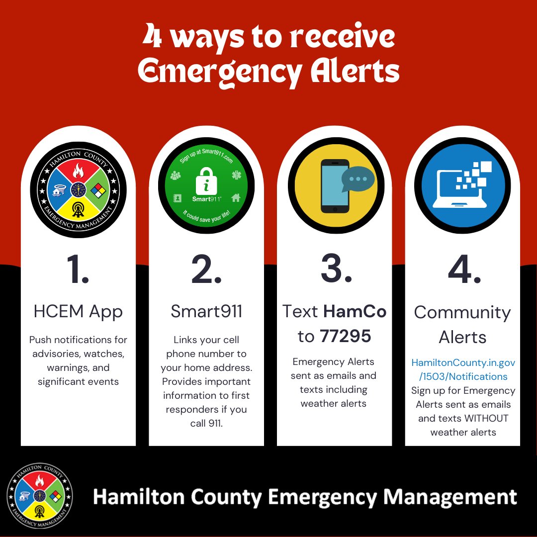
ALT 4 ways to receive emergency alerts HCEM App - Push notifications for advisories, watches, warnings, and significant events. Send Storm Reports. Preparedness Information. Smart911 - Links your cell phone number to your home address. Provides important information to first responders if you call 911. Includes emergency Alerts. Text HamCo to 77295 to sign up for Emergency Alerts sent as emails and texts, including weather alerts. Community Alerts - HamiltonCounty.in.gov/1503/Notifications. Sign up for Emergency Alerts sent as emails and texts WITHOUT weather alerts
ALT Black background with outdoor warning siren. Infographic states Sirens are sounded automatically for three reasons. Tornado warning - a tornado has been sighted or is indicated by weather radar imminent danger to property and life. Tornado Emergency - a reliable source has confirmed a tornado, or there is clear radar evidence of the existence of a damaging tornado such as the observation of debris, severe threat to human life, and catastrophic damage from an imminent or ongoing tornado. Severe Thunder Warning with Destructive Tag - winds of 80mph or greater and/or baseball sized hail.
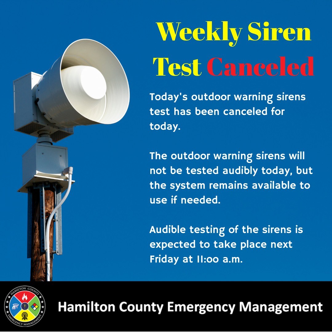
ALT Due to the chance of showers and thunderstorms and the heavily overcast conditions today, in an effort to avoid causing unnecessary concern, the regularly scheduled audible outdoor warning siren test has been canceled. Outdoor warning sirens will not sound at 11:00 a.m.
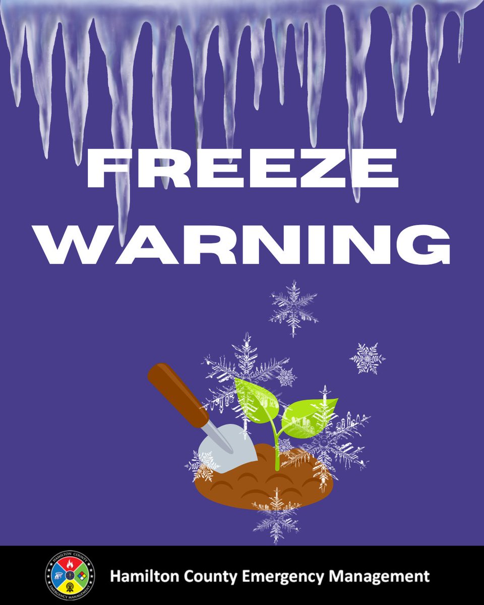
ALT Dark purple background with a plant sprinkled with frost. Infographic states Freeze Warning.
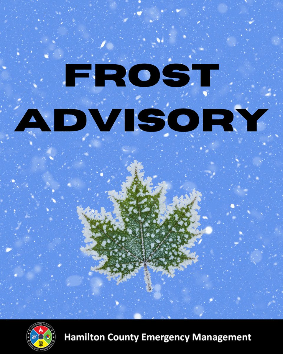
ALT Blue background with a leaf sprinkled with frost. The infographic states Frost Advisory.
ALT Black background with red siren. Red letters indicate Traffic Alert.