
Bringing you the latest local weather information for western Texas and eastern New Mexico. Download the EverythingLubbock Weather App today!
Joined February 2012
- Tweets 41,759
- Following 19
- Followers 892
- Likes 541
24,133 Photos and videos


#LUB issues Area Forecast Discussion (AFD) at Jun 16, 12:21 PM CDT ...New SHORT TERM, LONG TERM, AVIATION... mesonet.agron.iastate.edu/p.…
18
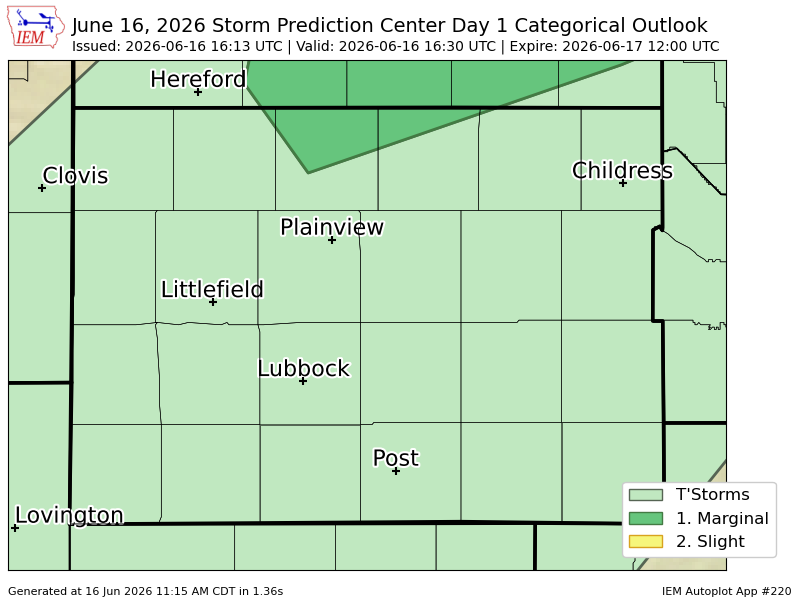
#SPC issues Day 1 Marginal Convective Risk at Jun 16, 16:13z for LUB spc.noaa.gov/products/outloo…
21
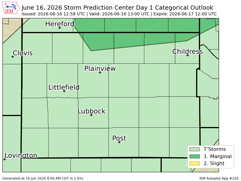
#SPC issues Day 1 Marginal Convective Risk at Jun 16, 12:58z for LUB spc.noaa.gov/products/outloo…
16
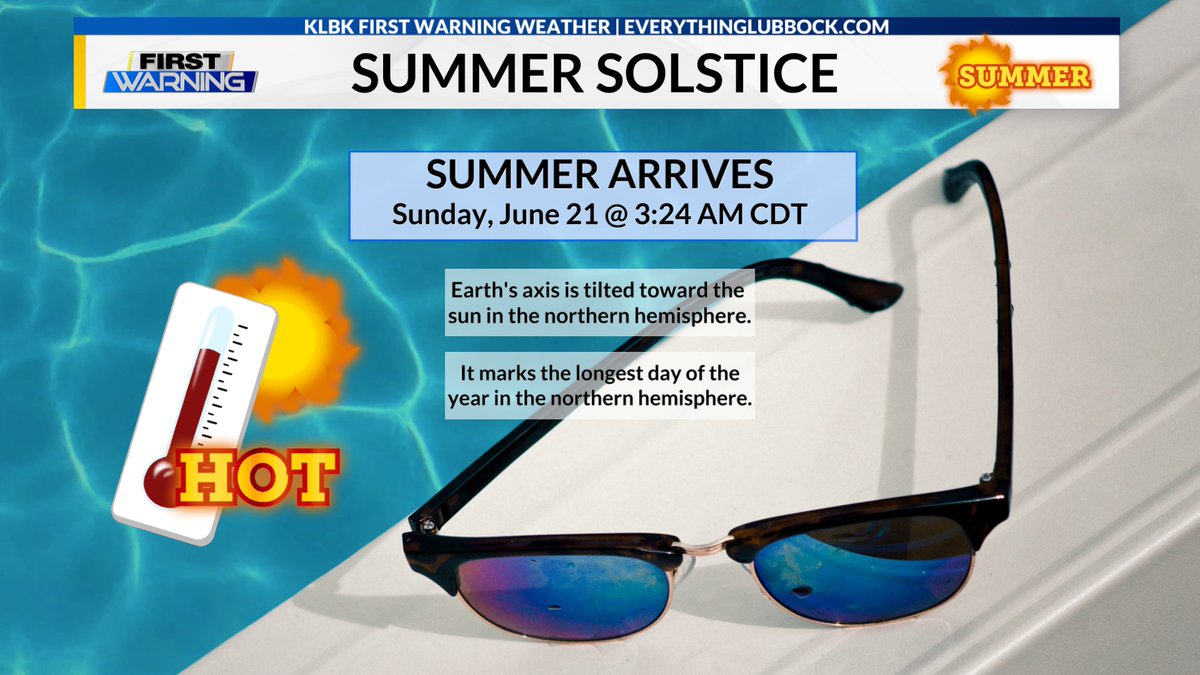
Reminder: Summer officially arrives early Sunday here on the South Plains and Rolling Plains. The summer solstice will occur at 3:24 AM CDT on June 21. The summer solstice marks the longest day of the year here in the northern hemisphere. #txwx #Lubbock #SummerSolstice #KLBK
41
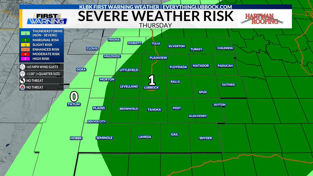
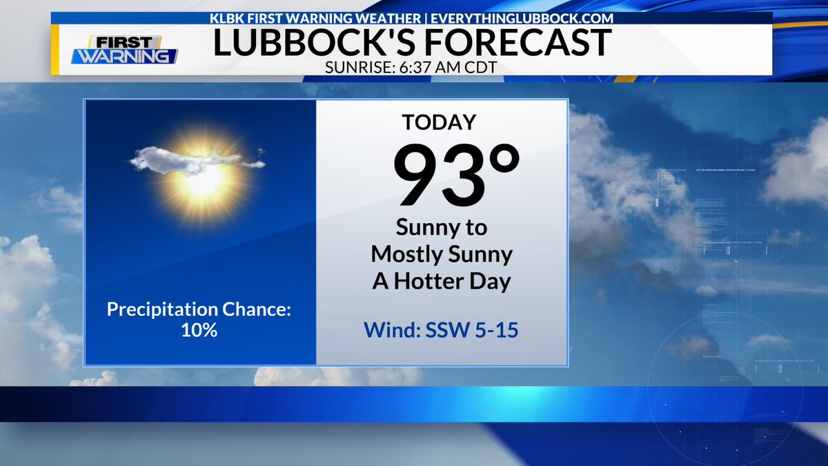
Good Tuesday Morning! Here's the update on your forecast here across the South Plains and the Rolling Plains from Meteorologist Chris Whited. #txwx #KLBK #Lubbock
(Click on the image below to link to the full forecast.)
everythinglubbock.com/weathe…
1
40

#LUB issues Area Forecast Discussion (AFD) at Jun 16, 6:07 AM CDT ...New AVIATION... mesonet.agron.iastate.edu/p.…
2
23
#LUB issues Area Forecast Discussion (AFD) at Jun 16, 12:23 AM CDT ...New AVIATION... mesonet.agron.iastate.edu/p.…
1
17
#LUB issues Area Forecast Discussion (AFD) at Jun 15, 10:42 PM CDT ...New SHORT TERM, LONG TERM... mesonet.agron.iastate.edu/p.…
26
At 9:57 PM CDT, Abernathy [Hale Co, TX] Public reports Tstm Wnd Dmg. mPing report of shingles blown off roof. #txwx mesonet.agron.iastate.edu/ls…
1
46
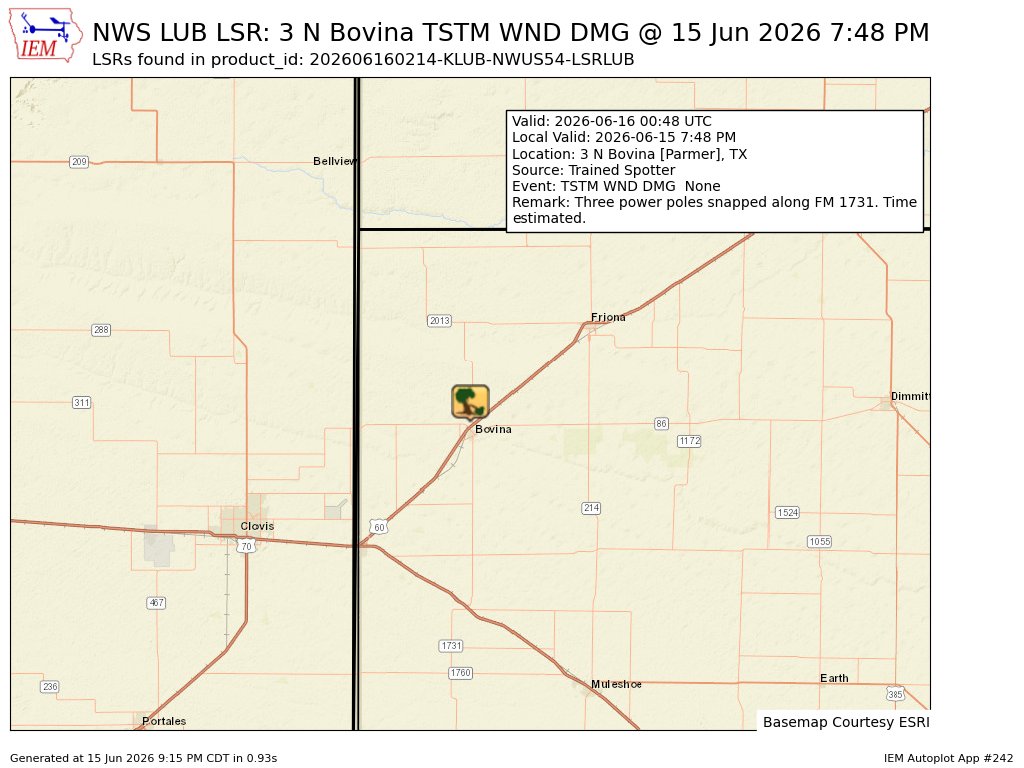
At 7:48 PM CDT, 3 N Bovina [Parmer Co, TX] Trained Spotter reports Tstm Wnd Dmg. Three power poles snapped along FM 1731. Time estimated. #txwx mesonet.agron.iastate.edu/ls…
1
60
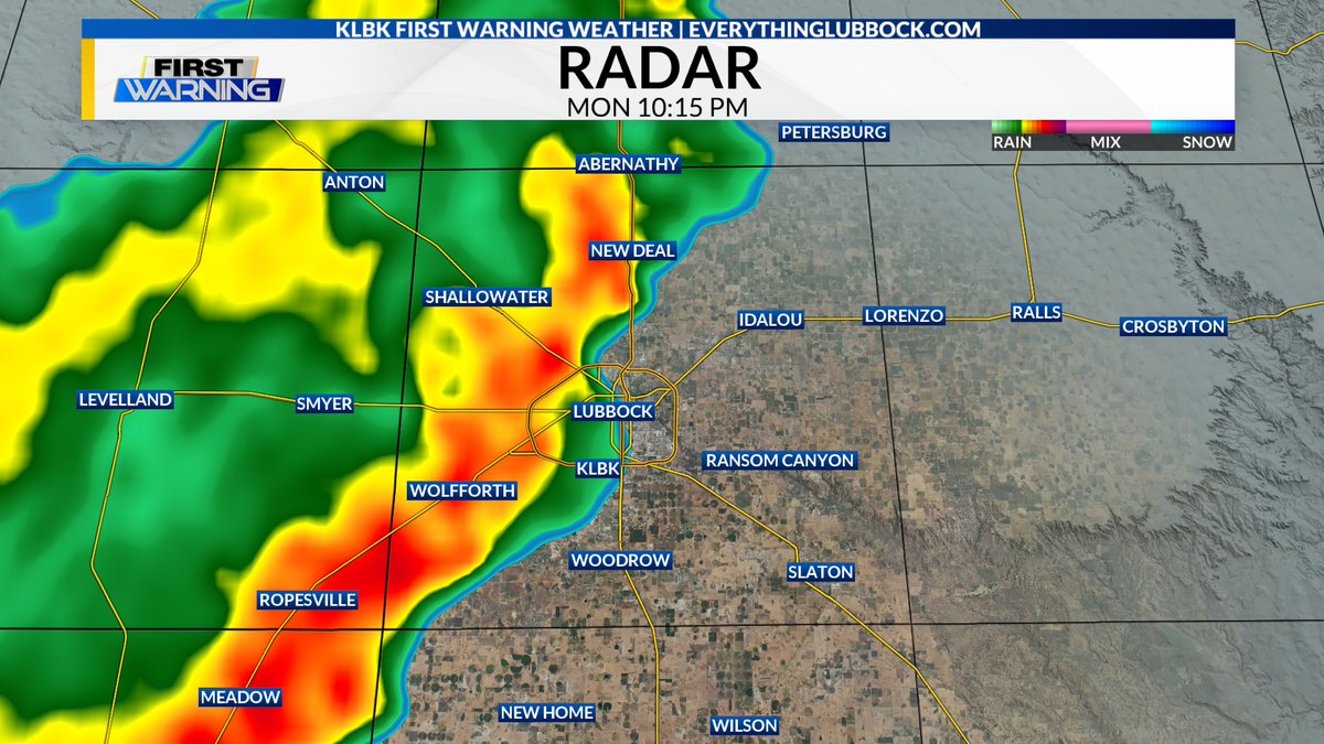
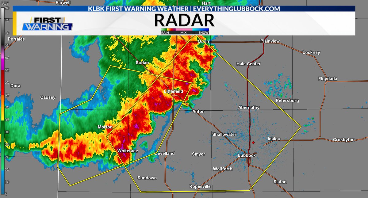
New: Severe Thunderstorm Warning [wind: 60 MPH (RADAR INDICATED), hail: <.75 IN (RADAR INDICATED)] for Cochran, Crosby, Hale, Hockley, Lamb, Lubbock [TX] till Jun 15, 10:15 PM CDT. #txwx #lubbock #KLBK
More Details: tinyurl.com/4ymvps5x?utm_med…
1
1
69
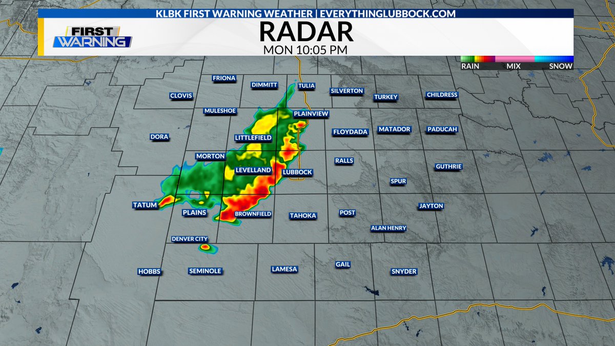
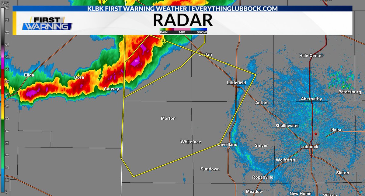
New: Severe Thunderstorm Warning [wind: 60 MPH (RADAR INDICATED), hail: <.75 IN (RADAR INDICATED)] for Bailey, Cochran, Hockley, Lamb [TX] till 9:15 PM CDT. #txwx #KLBK
More Details: tinyurl.com/53zfttzx?utm_med…
1
64
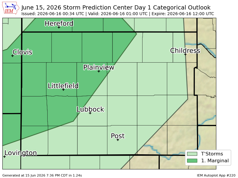
#SPC issues Day 1 Marginal Convective Risk at Jun 16, 0:34z for LUB spc.noaa.gov/products/outloo…
1
25
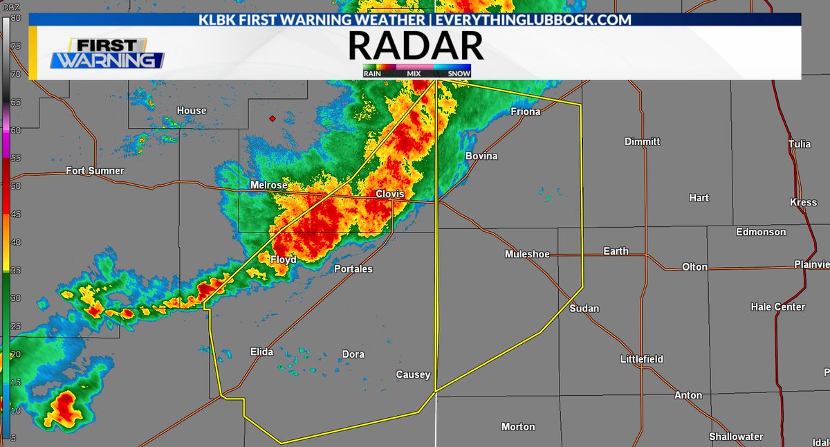
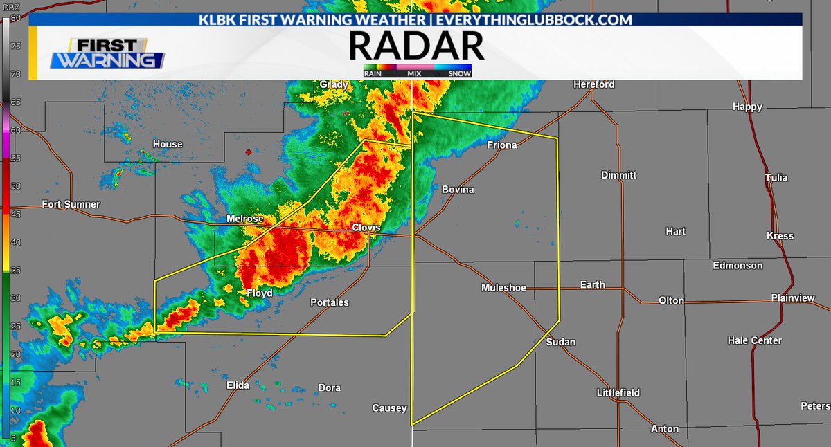
New: Severe Thunderstorm Warning [wind: 60 MPH (RADAR INDICATED), hail: <1.00 IN (RADAR INDICATED)] for Curry, Roosevelt [NM] till 7:15 PM MDT. #nmwx #KLBK
More Details: tinyurl.com/4zxbmt8n?utm_med…
1
2
64