
Location Aware AI Systems.
Joined January 2019
- Tweets 429
- Following 357
- Followers 173
- Likes 513
223 Photos and videos


3 Apr 2024
Projects in the Field: A globe-spanning AI partnership drives discard quantification in New England em4.fish/projects-in-the-fie…
33
13 Mar 2024
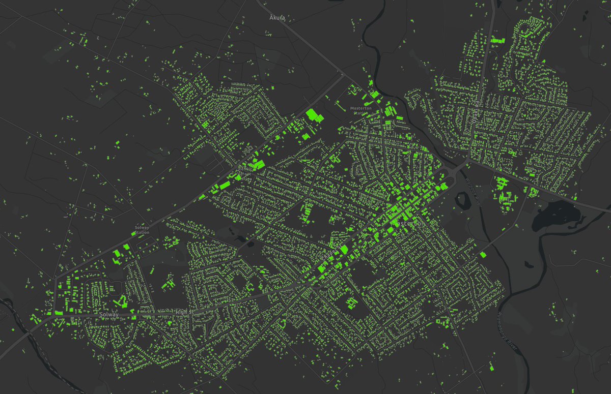
Check out this exciting new case study: Monitoring high country transects with Machine Learning. lynker-analytics.com/ourwork…
32
30 Oct 2023
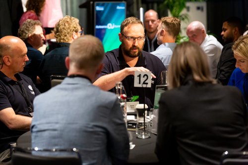
The Lynker Analytics team attended the recent AI Summit in Auckland New Zealand where we hosted a roundtable and presented the envirohack winner.

1
82
30 Oct 2023
Silver Fern Farms and Lynker Analytics win Technology Award at 2023 Beef Lamb NZ Awards. lynker-analytics.com/mediace…
2
57
4 Oct 2023
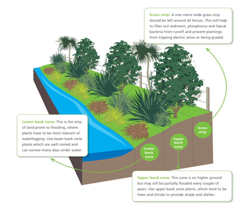
We are excited to share results of a joint project with PDP to predict riparian planting survival across New Zealand. lynker-analytics.com/ourwork…
49
2 Jun 2023
New blog article from Snr Data Scientist Dan Bull on multi-band deep learning. lynker-analytics.com/theblog…
1
49
15 May 2023
We are pleased to share results from a pilot system developed in partnership with @MottMacDonald and @AklCouncil to check the condition of critical stormwater assets. lynker-analytics.com/ourwork…
63
28 Mar 2023
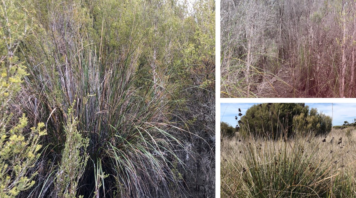
Artificial intelligence to identify pest plants from images. farmersweekly.co.nz/technolo…
57
16 Mar 2023
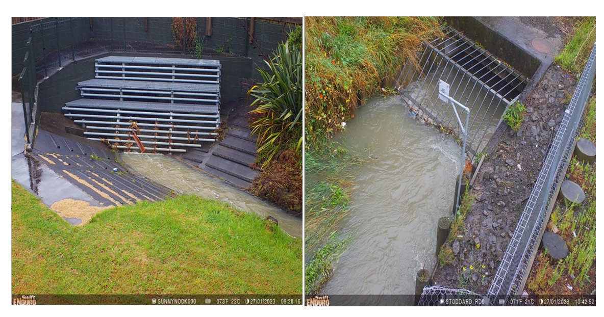
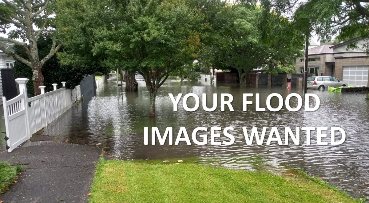
The extreme rainfall event on January 27th caused widespread flooding across Auckland. Alongside Auckland Council, we have developed the flood experiences app flooded.co.nz/ to gather photos, video and stories of flooding across Auckland. #floods
1
134
22 Feb 2023
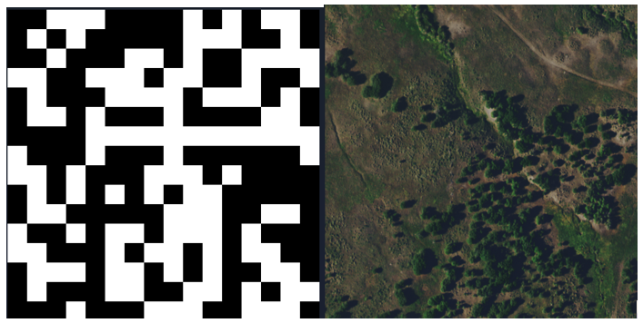
We have completed a successful pilot with @ECan using Machine Learning to identify pest plants from aerial imagery. This system provides a more efficient way to inspect large swathes of land for biosecurity threats such as Nassella tussock.lynker-analytics.com/mediace…
3
91
20 Feb 2023
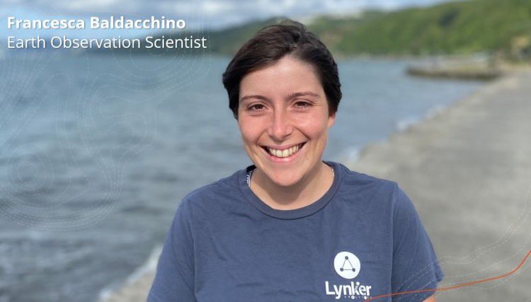
We are pleased to officially welcome Francesca Baldacchino to our Wellington team
1
59
31 Jan 2023
Read our case study about modernising Aucklands height data. lynker-analytics.com/ourwork… #datum #geospatial
1
1
111
9 Nov 2022
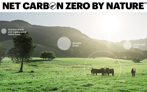
We are proud to announce that Lynker Analytics are managing the @silverfernfarms carbon stock assessment system for suppliers in the Silver Fern Farms Net Carbon Zero programme. lynker-analytics.com/ourwork…
1
29 Oct 2022
Michael Stanley from @LynkerAnalytics and Amanda Barney from @teem_fish will be presenting on the application of AI to Identify Discards on EM Vessels at the Symposium on Catch Identification Technologies in Bergen, Norway next week. fiskeridir.no/Yrkesfiske/fan…
1
22 Sep 2022
Lynker Analytics retweeted

11 Sep 2022
Congratulations to the regional winners of the @AIForumNZ EnviroHack - AI for the Environment series held last week in Dunedin, Christchurch, Wellington, Waikato and Auckland.
2
7
8 Sep 2022
The risks that climate change poses to global development are significant, and so are the risks of global biodiversity and ecosystem loss. worldbank.org/en/news/featur… #ClimateExplainer via @WBG_Climate
1
5 Sep 2022
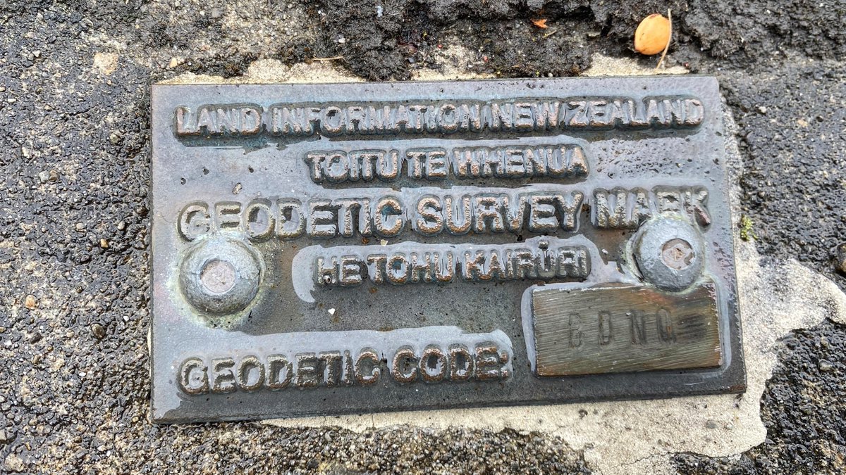
We are pleased to announce a milestone for the company – our first multi-year mapping contract with a national land administration and mapping agency @LandInfoNZ. lynker-analytics.com/mediace…
2
1 Sep 2022
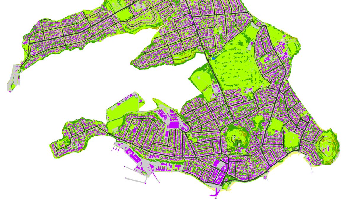
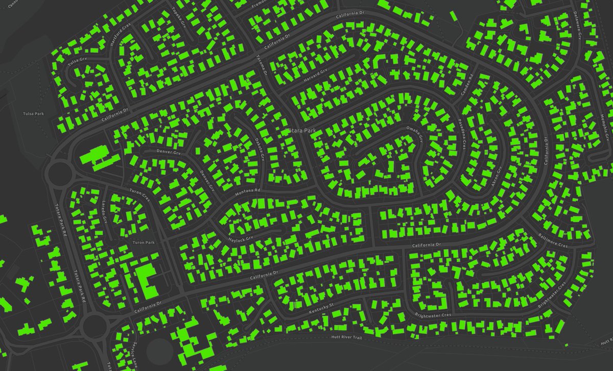
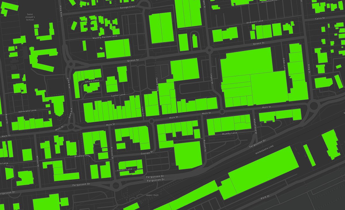
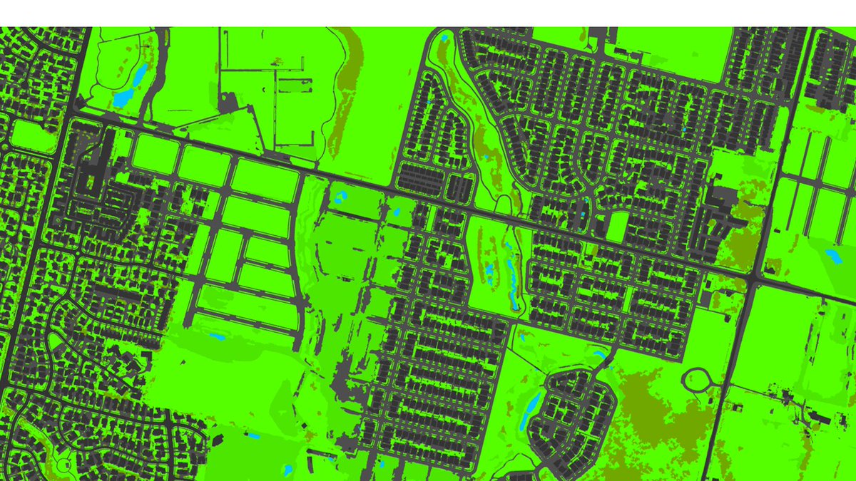
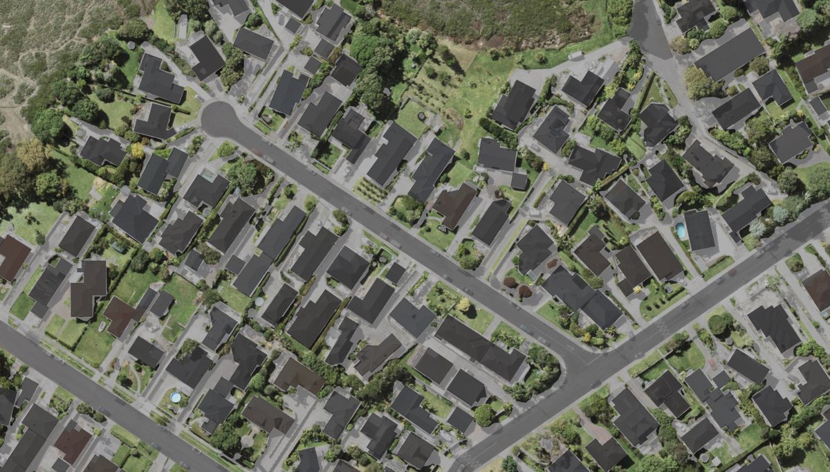
New multi-class land cover map of New Zealand's largest city, Auckland, created using a DeepLab V3 neural network model deployed in parallel on AWS. lynker-analytics.com/ourwork…
2