
Donald W. Hamer Center for Maps & Geospatial Information
Joined May 2012
- Tweets 337
- Following 595
- Followers 378
- Likes 157
31 Photos and videos
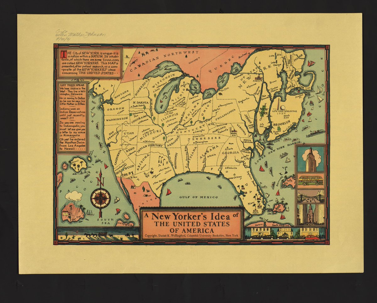


In honor of our pictorial map display, here is good one. There are so many things wrong, but you can't help but like it.
jstor.org/.../e98a907d-f026-…...
57
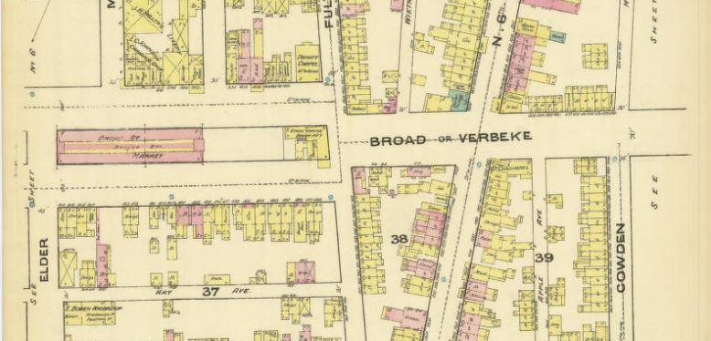
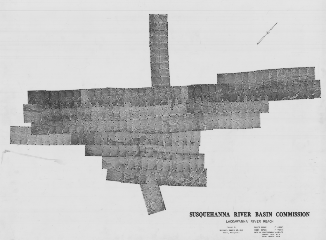
Recently the Broad Street Market in Harrisburg burned down. The market had been around since 1863. You can see it on the 1884 Sanborn Fire Insurance map.
pennlive.com/news/2023/07/ce…
digital.libraries.psu.edu/di…
89
Sometimes we get to see what people do with the maps we help them find. This is a video about Dr. Erica Frankenberg and her research on school segregation. We provided maps of her home town of Mobile Alabama. @PSU_CollegeOfEd youtube.com/watch?v=ZUxs8IXN…
1
1
3
234
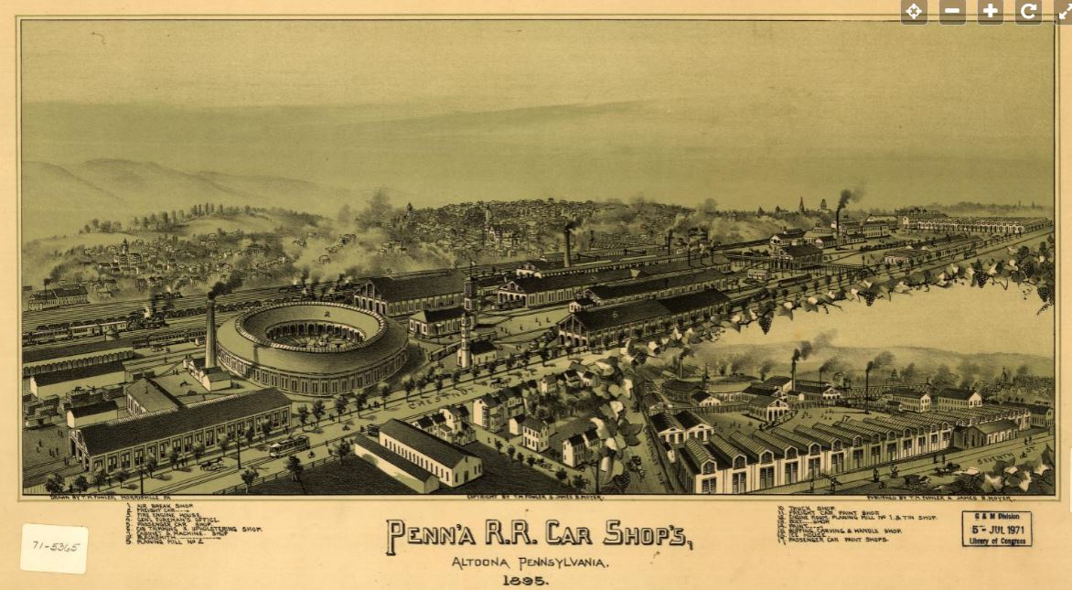
Bird's-eye view maps or perspective drawings were very popular in the late 19th and early 20th centuries. The Library of Congress has created an interactive map that allows you to discover these gems geographically. Enjoy! blogs.loc.gov/maps/2022/12/n…
40
Looking forward to hearing from Brian Baldwin, Esri, for the Migrating to ArcGIS Pro from ArcMap session, today (2/28) 1-3pm, W211A Pattee Library, In-person or via Zoom psu.edu/news/academics/story…
51
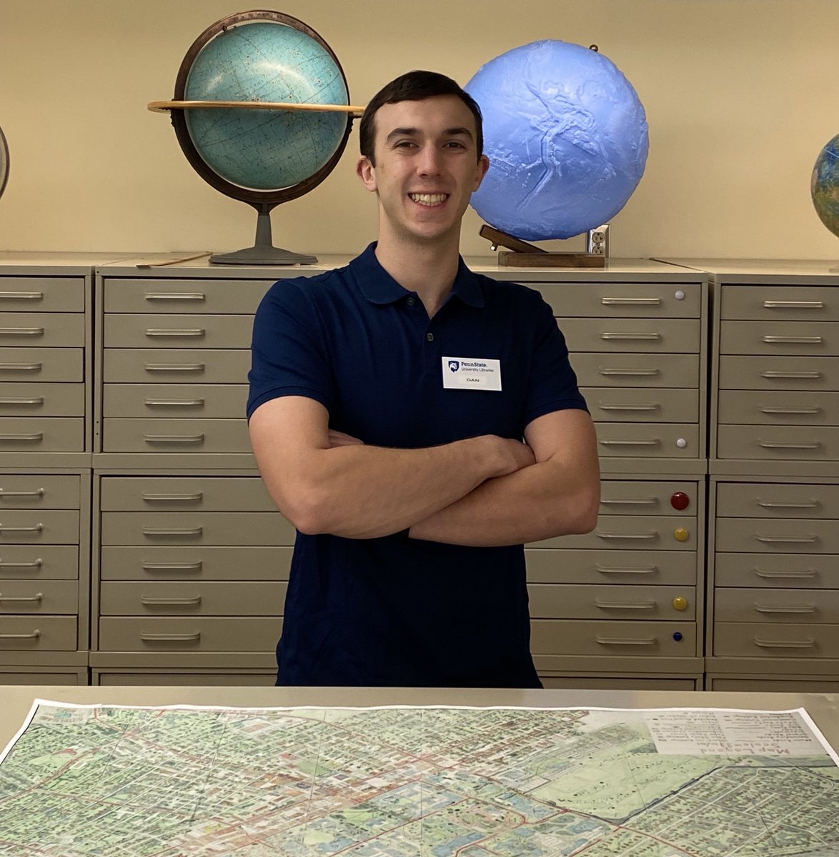
Looking for a summer part-time position, interested in maps? Check out the part-time Maps and Geospatial Assistant position for details. Apply in Workday. psu.wd1.myworkdayjobs.com/PS…
1
35
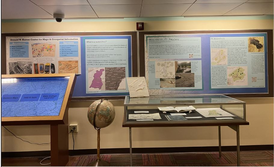
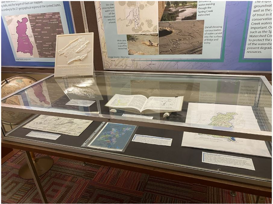
Our new Watershed display highlights student work, our resources, and public art called “Ridge and Valley” by Stacy Levy that is viewable at the @psuarboretum. Also see the 3D printed model of the Spring Creek watershed, which surrounds State College.
stacylevy.com/
62
If you want to learn about a really cool female scientist who proved her male colleagues wrong, all while making cool maps, check out today's Google Doodle.
Celebrating Marie Tharp #GoogleDoodle
g.co/doodle/enc9thm
2
Donald W. Hamer Center for Maps & Geospatial Info retweeted

11 Nov 2022
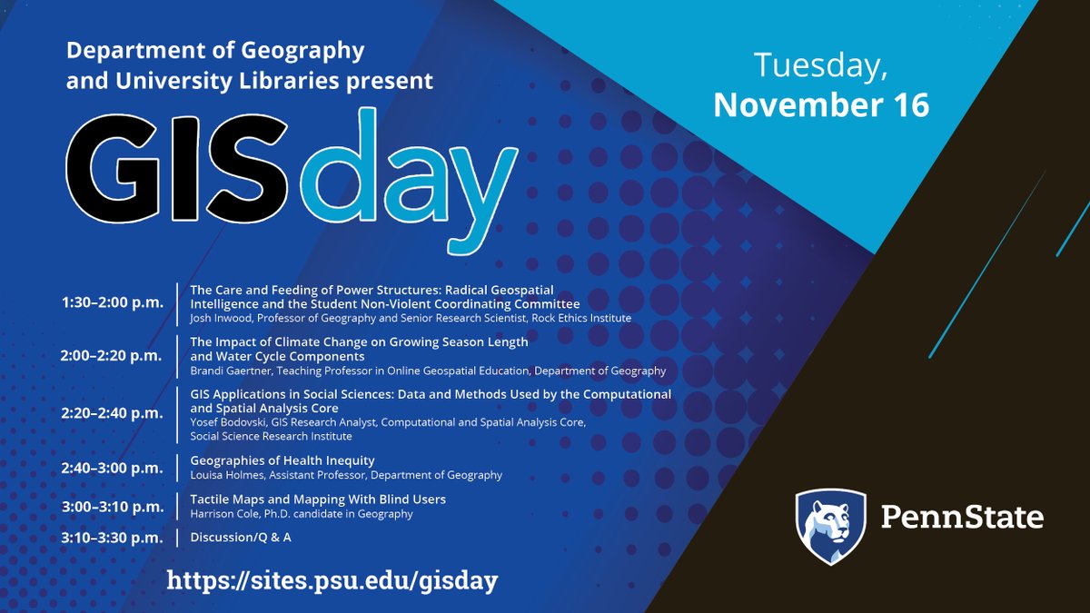
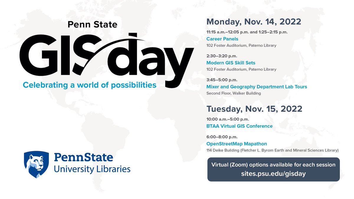
Check out these great #GISday events we have on tap Monday and Tuesday. Events include talks, tours, activities and tutorials. Co-sponsored with @psugeography. buff.ly/3f9lpHE
1
3
5
Donald W. Hamer Center for Maps & Geospatial Info retweeted
31 Oct 2022
We will observe #GISDay — an annual event celebrating the technology of geographic information systems and the many career possibilities associated with geospatial content — with a two-day event Nov. 14 and 15. Co-sponsored by @psugeography. psu.edu/news/academics/story…
2
3
Join us in person or remote for two career panels, a talk on the skills sets needed for graduates, a mixer, and a map-a-thon. psu.edu/news/academics/story…
2
2
We will offer four workshops on maps, GIS and data visualization. The workshops are free and open to Penn State undergraduate and graduate students, postdoctoral scholars, staff and faculty. No previous knowledge of maps or GIS is required.
psu.edu/news/academics/story…
2
Donald W. Hamer Center for Maps & Geospatial Info retweeted

19 Sep 2022
Meet an adorable little cartographer, Fergus! At the opening conversation of this year's annual meeting, after discussing the important mappy stuff, we shared pets! #WAML2022 #Maps #Cats
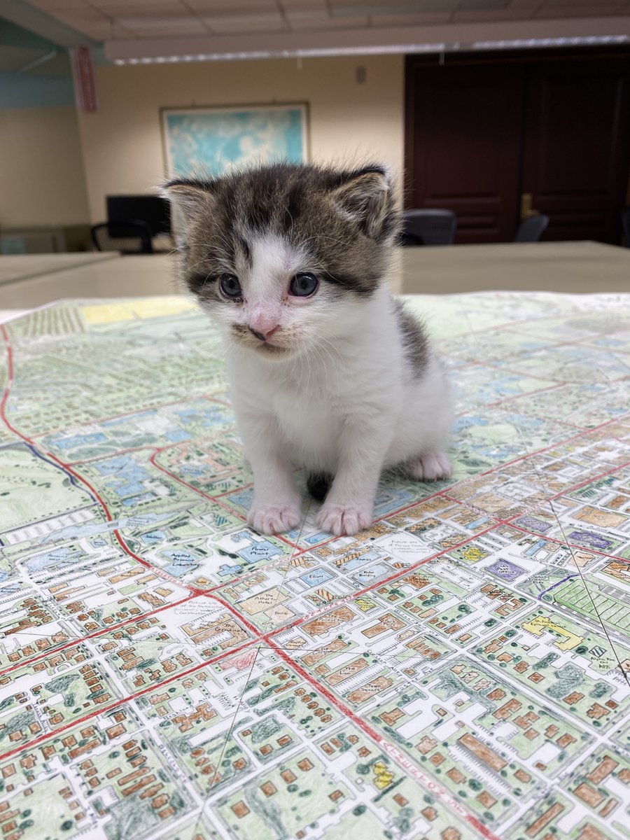
ALT Photo of a kitten, named Fergus, on a map of State College.
3
3
16
Our new interactive touch screen display was highlighted on Penn State News. We are super happy with our display that couldn't have happened without funds from Sally Kalin and support from StratTech.
We love showing it off, so come down and take a look.
psu.edu/news/academics/story…
Looking for an internship, see the Historic Aerial Imagery Bednar Intern job to gain experience in a library with PA historic aerial images #maps #geospatial psu.wd1.myworkdayjobs.com/PS…
Looking for summer opportunities, check out the Maps and Geospatial Assistant position: psu.wd1.myworkdayjobs.com/PS…
1
We have an aerial photo internship opportunity for Penn State rising Juniors and Seniors. Looking for students with good communication skills and GIS skills or willingness to learn.
psu.wd1.myworkdayjobs.com/PS…
2
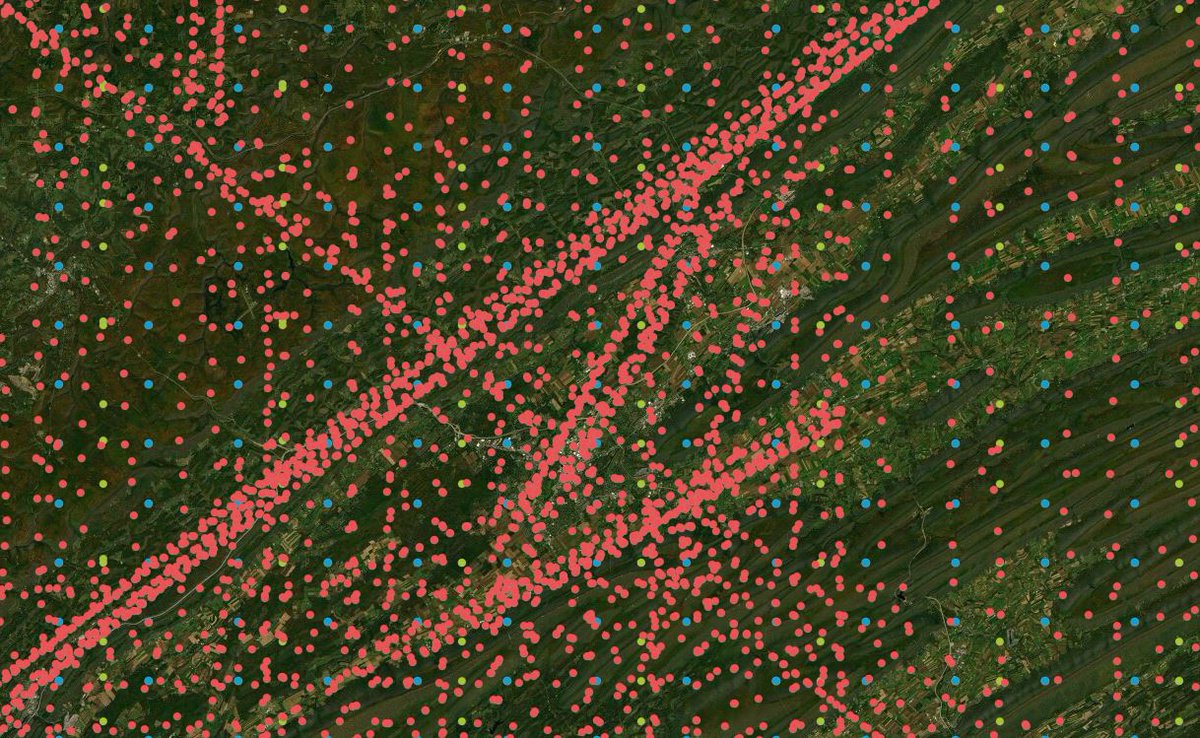
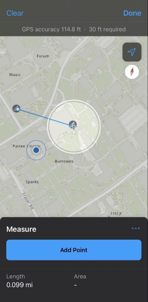
A new blog post about Esri's ArcGIS Field Maps written by one of our students. We also have a survey grade Bad Elf GPS unit to help you collect the data too.
#Esri #badelf
sites.psu.edu/mapsgislib/202…
1
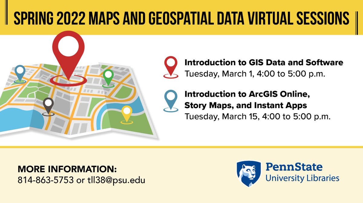
Check out more info on March Maps and Geospatial Data Virtual Sessions: psu.edu/news/university-libr…
Donald W. Hamer Center for Maps & Geospatial Info retweeted
17 Dec 2021
.@InDaHouse58 is graduating from #pennstate with a geography degree. Working at @MapsLibraryPSU gave him experience that helped him land an internship and job at @tighebond: “My projects helped me hone my GIS skills. I attribute much of my success to my experience at @psulibs.”
3
5