
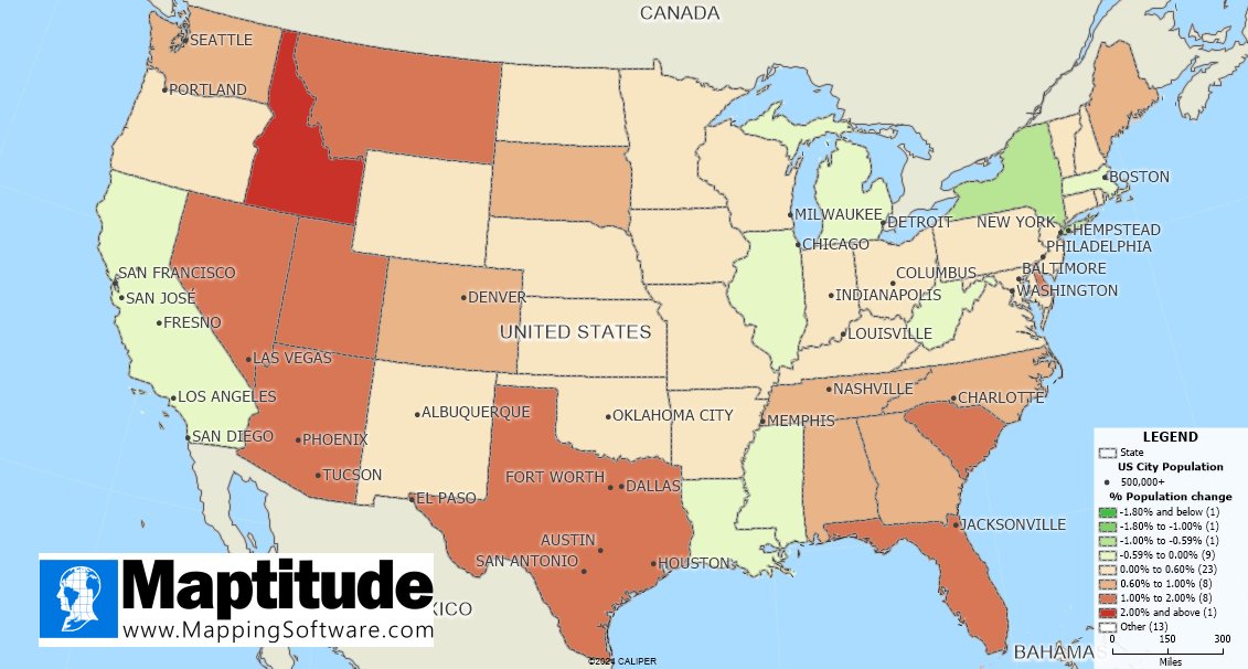
Maptitude Mapping Software, GIS Programs, Map Software Data, Location Intelligence, Geographic Information System. US$695. Founded in 1995. Redistricting.
Joined September 2008
- Tweets 6,440
- Following 1,784
- Followers 1,195
- Likes 4,082
671 Photos and videos


Caliper Launches Latest Version of its #Mapitude Software for Business disq.us/t/4ukm2ub
3
Maptitude retweeted

Mar 12
A map created with #Maptitude mapping software was featured in a viral video by @BulwarkOnline , the independent political media outlet with over 1.6 million YouTube subscribers openpr.com/news/4419237/mapt… #mapping #gis @dunkindonuts
1
3
70
Maptitude retweeted
Jun 9
#Maptitude Named 2026 Data Quadrant Champion for Geographic Information Systems by Info-Tech Research Group « Asian Surveying & Mapping asmmag.com/news/48782-maptit…
1
1
17
Maptitude retweeted
Jun 5
#Maptitude 2026 is here. One-click territory reassignment, 4 new PDF route reports, maps that pan up to 5.8x faster, and population data through 2054. It runs on your machine, not a metered cloud. Desktop or Online, from US$795 👉 caliper.com/maptitude/newfea… #GIS #BusinessDevelopment
1
1
31
Jun 4
🏆 Maptitude is the 2026 Data Quadrant Champion for GIS! Highest composite score in the category (8.4/10) 6 Top Feature awards from @InfoTechRG - based 100% on verified user reviews.
Thank you to our users! 🗺️ caliper.com/press/pr20260602…
1
22
Maptitude retweeted
Mar 24
#Maptitude Named a Top Software Product in G2’s 2026 Best Software Awards, Placing in the Top 0.63% of Vendors sensorsandsystems.com/maptit…
1
2
63
Maptitude retweeted
Apr 16
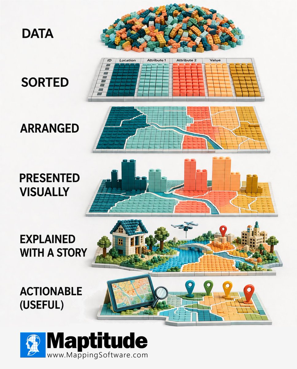
Asked AI to redo the classic LEGO data meme with #GIS visuals for a #Maptitude training slide. Same steps, just with maps/spatial. Nice visual on the mapping process for trainees.
➡ caliper.com/featured-maps/ma…
Original: Hot Butter Studio/Andreas von der Heydt
#DataViz #Mapping
1
1
92

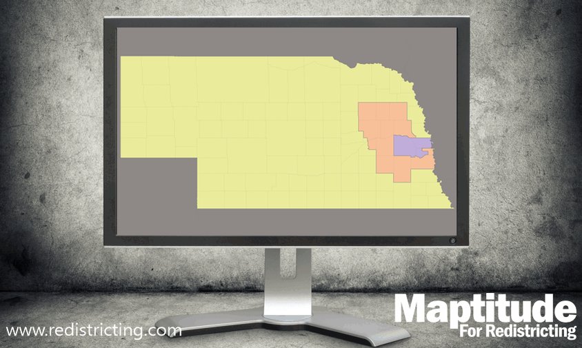
Redistricting (drawing district maps) in Illinois is done by the state legislature after each census. They use official U.S. Census population data and GIS mapping software (like Maptitude or ArcGIS) to create boundaries.
No AI is involved—it's human mapmakers applying legal rules: equal population, contiguity, compactness, and Voting Rights Act compliance for minority representation. Previous maps often serve as the starting "template," adjusted for new data and politics.
This current proposal would amend the state constitution to tweak those priorities.
1
1
1
52
Maptitude retweeted
Apr 28
On YouGov’s 2026 U.S. restaurant rankings, @FiveGuys has the No. 1 spot for best quality fast-food burgers. According to research from #Maptitude, 85,000 burger chains & restaurants are in the USA mensjournal.com/news/this-fa… @AnneErickson @YouGov #mapping
1
2
50
Maptitude retweeted
Mar 24
#Maptitude Named a Top Software Product in G2’s 2026 Best Software Awards, Placing in the Top 0.63% of Vendors « Asian Surveying & Mapping #businessintelligence #gis asmmag.com/products/48359-ma…
1
1
65
Maptitude retweeted
Mar 17
#Maptitude Map Featured in The Bulwark Video on Massachusetts Dunkin' Donuts mundogeo.com/en/2026/03/13/m… @dunkindonuts #businessintelligence #GIS #locationintelligence
1
3
47
Maptitude retweeted
Mar 23
#Maptitude #Map Featured in The @BulwarkOnline Video on Massachusetts @dunkindonuts mundogeo.com/en/2026/03/13/m…
1
2
81
Mar 24
#Maptitude Named a Top Software Product in G2’s 2026 Best Software Awards, Placing in the Top 0.63% of Vendors eijournal.com/news/products-…
1
60
Mar 23
#Maptitude Named a Top Software Product in G2's 2026 Best Software Awards-Placing in the Top 0.63% of prlog.org/13134821-maptitude…
1
55