
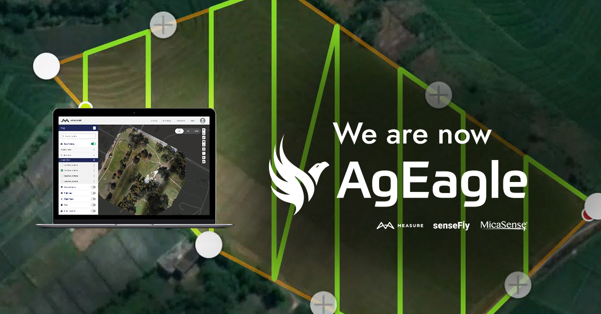
We are now @AgEagleUAVS, provider of professional solutions in software, sensors and drones. Follow us there.
Joined July 2014
- Tweets 4,619
- Following 833
- Followers 4,818
- Likes 2,162
Photos and videos
Pinned Tweet

9 Sep 2022
Measure is now AgEagle! Follow us on our new social media account @AgEagleUAVS to continue enjoying updates on our drone operations software.
The Measure account won't be active anymore.
More information: bit.ly/3RDSIkk
#UAVS #MeasureGroundControl #dronesoftware
1
6
4 Sep 2023
Follow us on our new account @AgEagleUAVS

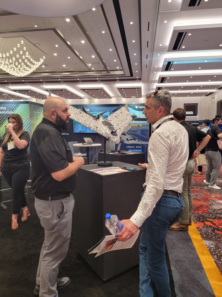
Attending Commercial @ExpoUAV? Let's connect at booth 223!
We'll be showcasing the innovative eBee VISION #UAS, the new RedEdge-P dual #dronesensor, and the unique features of Measure Ground Control #dronesoftware.
Learn more: bit.ly/3Z1l5x8

5
1,118
22 Aug 2023
Follow us on our new account @AgEagleUAVS
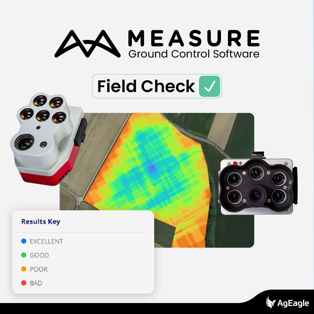
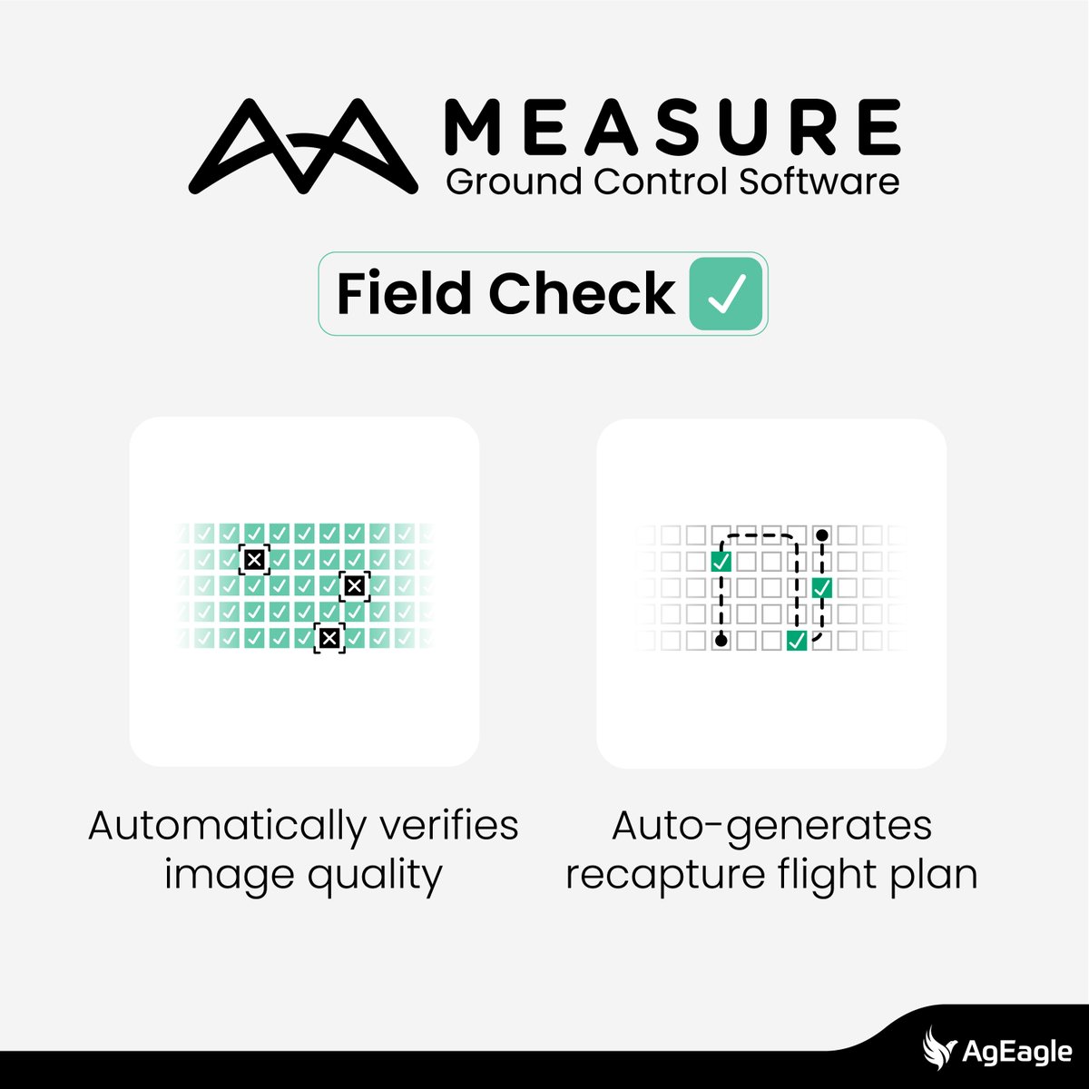
New! On-site #multispectral data quality control with the Measure Ground Control #dronesoftware app
Designed for compatibility with #MicaSense series sensors, #FieldCheck tool now reviews on-site multispectral imagery and suggests recapture flight paths: bit.ly/3qHrUXX
3
809
21 Jul 2023
Follow us on our new account @AgEagleUAVS
Eliminate data gaps and poor-quality #photogrammetry images with Measure Ground Control #dronesoftware.
This in-field quality control #dronetool detects unusable imagery and provides corrective flight path, resulting in time & cost savings. 30-day trial: bit.ly/3Q6PBDj

471
16 Jun 2023
Follow us on our new account @AgEagleUAVS
Generate high-resolution #multispectral, #RGB, and #thermal outputs with Measure Ground Control #dronesoftware. Unlock its full potential by leveraging its tools, including annotation, data comparison, and crop focus features.
Start your 30-day trial: bit.ly/43KmCsT

393
9 Jun 2023
Follow us on our new account @AgEagleUAVS
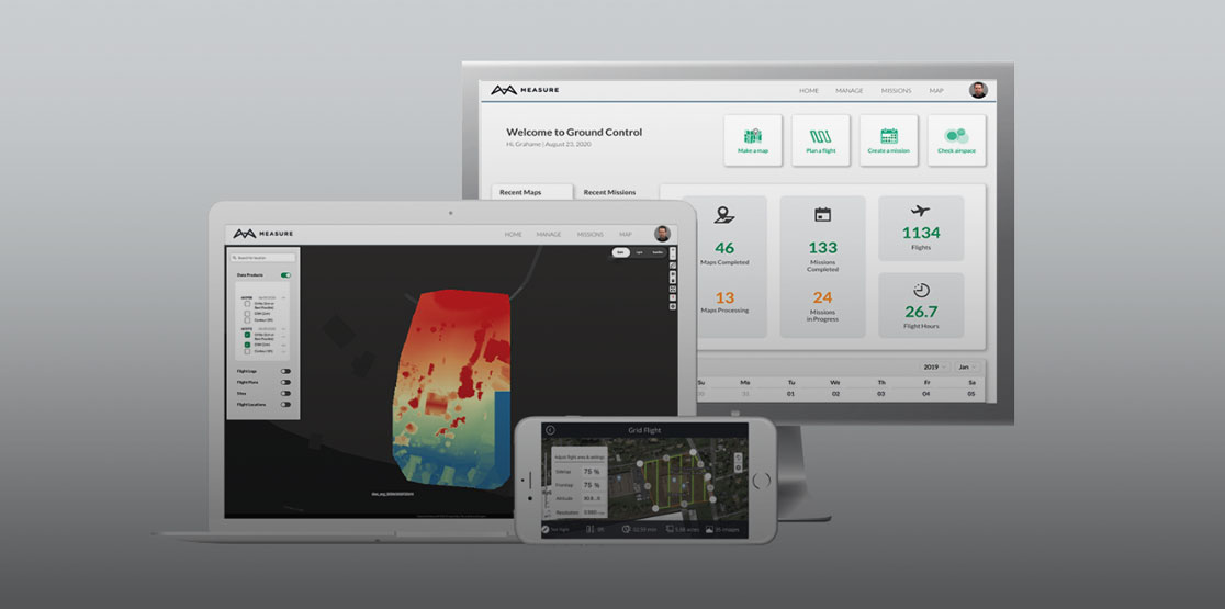
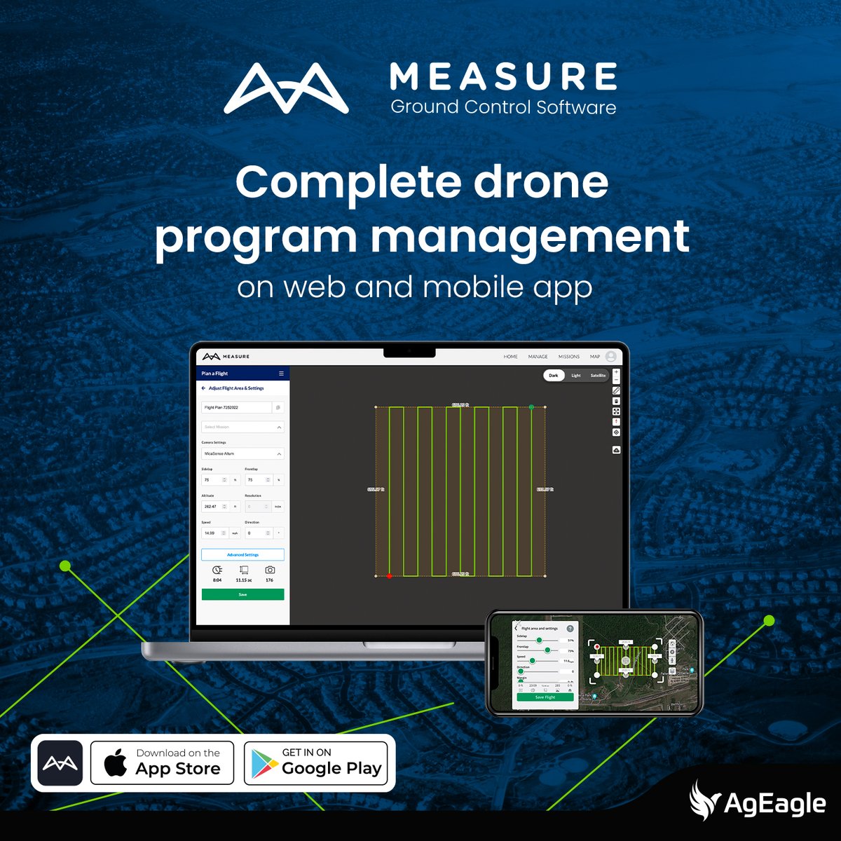
Measure Ground Control #dronesoftware offers a streamlined interface for managing every task in your drone program, from pilots and drones to missions and data process, allowing the scalability of your operations.
Start your 30-day trial: bit.ly/3oTvpts

1
411
12 Apr 2023
We are now @AgEagleUAVS, follow us on our new account.
Measure Ground Control software’s new Field Check feature lets you identify drone data gaps and image quality issues in the field rather than back at the office during data processing.
Start a 30-day free trial of MGC software: bit.ly/3UtKrkU
#dronesoftware #UAV
1
2
509
3 Apr 2023
We are now @AgEagleUAVS, follow us there!
NEWS OUT: AgEagle Unveils #FieldCheck – Designed to Meet Critical Demand from Commercial Drone Operators for Capturing Target Imagery Right the First Time
Learn more: bit.ly/3GcY0iL
#dronesoftware #MeasureGroundControl #UAV #imagequality #qualitycontrol

405
15 Mar 2023
We are now @AgEagleUAVS, follow us there!
"I like how Measure Ground Control integrates everything into one spot, one program with all the information from a mission or an operator. It allows the user to focus on flying the #drone safely!"
Take advantage of all the #dronesoftware functionalities bit.ly/42crQ0h
1
311
6 Mar 2023
For the flight planning and management, DIDEX used #MeasureGroundControl software.
We are now @AgEagleUAVS, follow us there!
How to ensure consistent data in zones with changing lighting conditions? With #MicaSense series sensors' radiometric calibration, one of a kind in the market.
The #RedEdgeP included accessory helped obtain high-res #multispectral data in dynamic weather bit.ly/3JgMIMo

3
443
3 Mar 2023
Measure is now @AgEagleUAVS, follow us there!
Generate flight plans on the web, assign them to users, and access them on mobile with Measure Ground Control #dronesoftware.
Learn more about #MeasureGroundControl functionalities: bit.ly/3Yqv4dG
#DroneEnterprise #FlightPlanning #DroneWorkflow #DroneTools #UAVS
1
341
24 Feb 2023
We are now @AgEagleUAVS, follow us there!
Measure Ground Control all-in-one #droneprogram – no app switching, no extra licenses, no complicated software management.
Get started: bit.ly/3Z3ZKlV
#MeasureGroundControl #DroneSoftware #DroneWorkflow #DroneTools #DroneEnterprise

3
358
10 Feb 2023
Follow us on @AgEagleUAVS
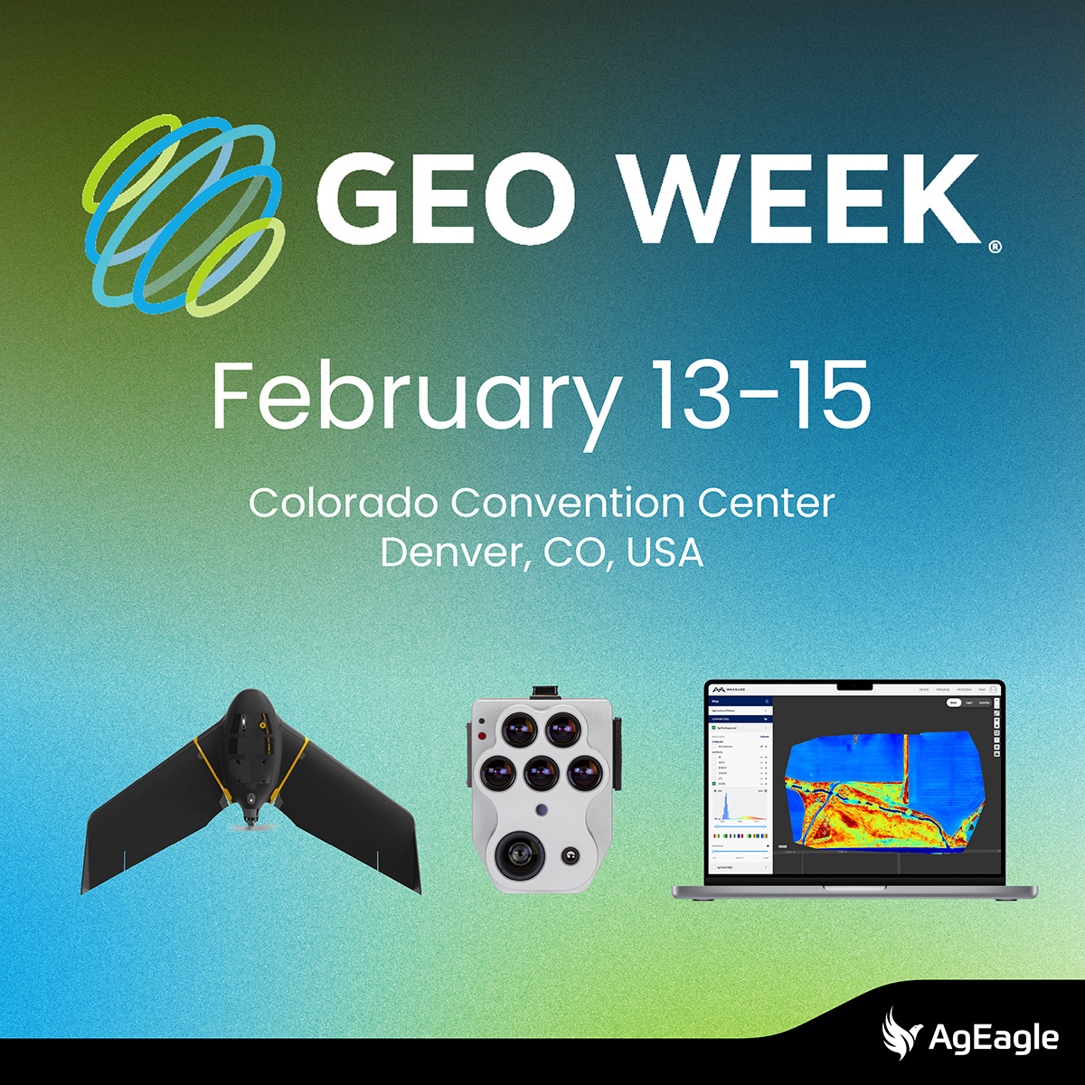
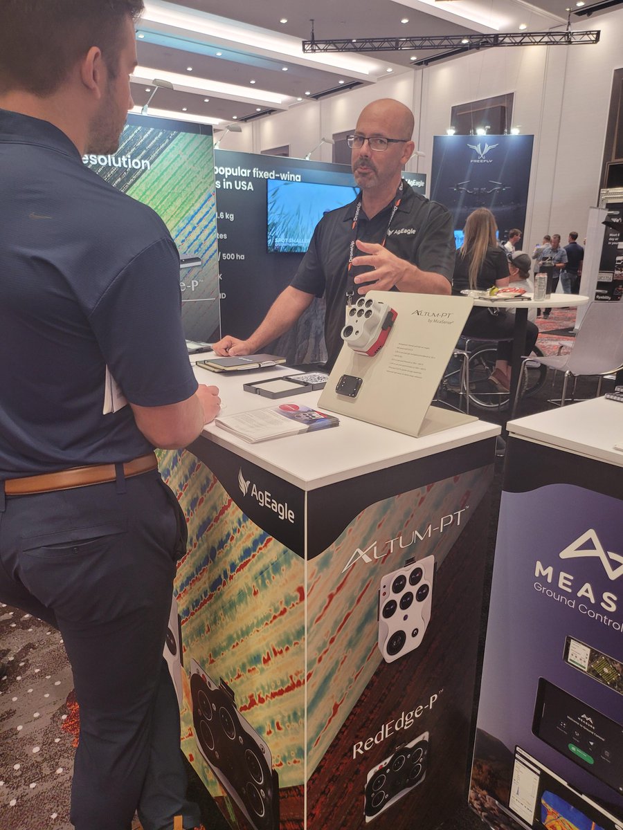
Need to fly over people in the U.S.? Curious about how to achieve high-resolution with #multispectral & thermal sensors? Interested in effective drone program management? Let's discuss at @GeoWeekExpo, DM us to book some time.
#GeoWeek2023 #eBee #MicaSense #MeasureGroundControl
4
360
16 Jan 2023
Follow us on our new social media account @AgEagleUAVS
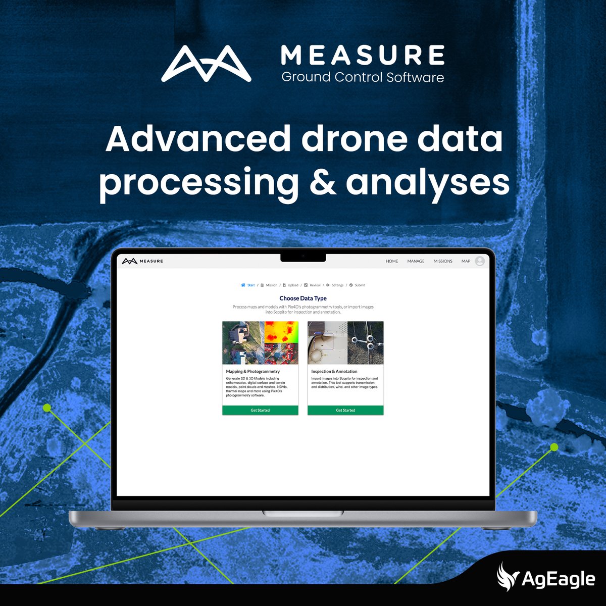
Measure Ground Control drone software delivers high-quality, accurate photogrammetry data products including multispectral maps, orthomosaics and 3D models.
Learn more: bit.ly/3GHlNXs
#MeasureGroundControl #DroneSoftware #DroneEnterprise #DroneTools
1
3
565
5 Dec 2022
Follow @AgEagleUAVS to continue receiving our latest news.
RedEdge-P #multispectral and panchromatic sensor paired with AI to analyze a pumpkin patch in the U.S.: bit.ly/3EVWQH2
This type of data allows for comparisons across years, count rates, and generate predictions on potential profits/losses.
#UAVS #MeasureGroundControl
3
8 Sep 2022
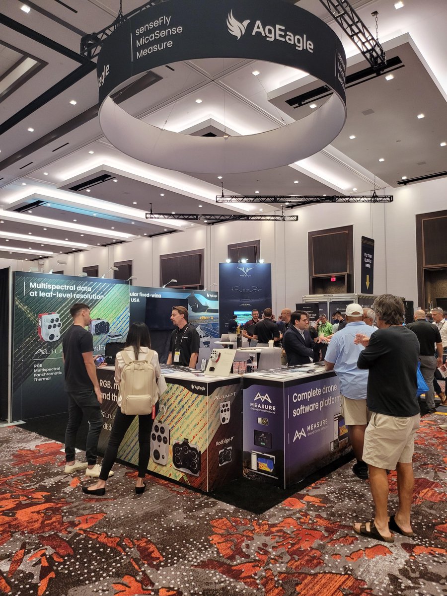
Check out our #dronesoftware & chat experts at the show. Follow @AgEagleUAVS to continue receiving our latest news.
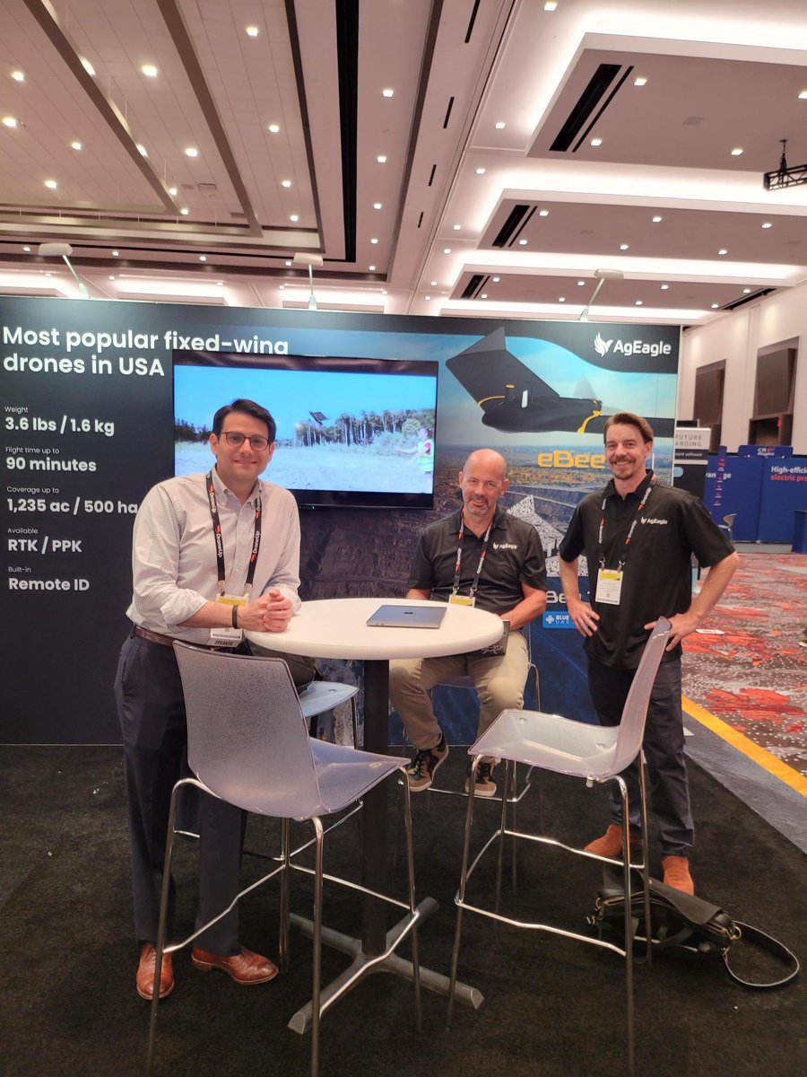
Day 3 of @ExpoUAV is underway! Visit us in booth #709 to learn about our industry-leading drones, sensors and drone software.
#expouav #UAV #mapping #drones #sensors #dronesoftware @sensefly @MicaSense @MeasureUAVS $UAVS
1
2
5 Sep 2022
We are now AgEagle - Our NEW WEBSITE is here!
Our high-performance Measure Ground Control software is now under the new AgEagle branding: bit.ly/3CZDaCX
Follow us on @AgEagleUAVS to continue enjoying updates on our drone operations software.
#UAVS #droneautomation
1
3
31 Aug 2022
Come visit us at booth #709 and follow @AgEagleUAVS to continue receiving our latest news and product updates!
Attending @ExpoUAV 2022? Visit AgEagle at booth #709 & catch Barrett Mooney, our Chairman & CEO as a featured speaker during the panel Drone Visionaries: Getting Drones to Work Today. Learn more: bit.ly/3AZWZZe
@MicaSense @MeasureUAVS @sensefly $UAVS #droneindustry

1
3
26 Aug 2022
Our new AgEagle website is going live soon! The site unites under one brand our portfolio of leading #dronesoftware, #sensors and #drones from Measure, MicaSense and senseFly.
Follow us on @AgEagleUAVS to continue enjoying our content and updates bit.ly/3RuUAvh
7
10 Jun 2022
In their article, @Drone_Life explores "AgEagle Evolves: from Agricultural Drones to Flying Robots and more," including how Measure has made strides in developing an advanced #robotics platform, Ground Control, which supports many drone types & industries.
bit.ly/3H6uGtK
5