
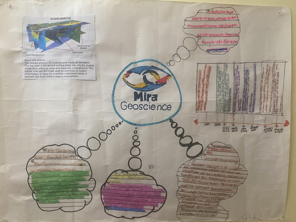
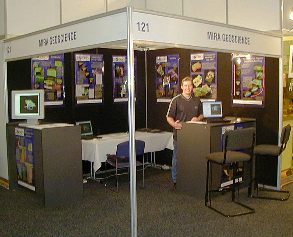
Software and consulting services for the mining industry. Compile, model, analyze and honour all data.
Joined March 2010
- Tweets 1,480
- Following 1,038
- Followers 1,086
- Likes 184
825 Photos and videos


We are delighted to share a #SchoolProject created by the daughter of one of our colleagues, a 5th-grade student who chose #MiraGeoscience as the focus of her assignment. Seeing young learners take an interest in #geoscience and the work we do is both #inspiring and #rewarding.
23
🎓Introducing the #NEW #GeoscienceANALYST #LearningHub! Whether you are a new user or looking to build confidence with the platform, our Learning Hub is designed to help you get started quickly.
▶️Start learning today: youtube.com/playlist?list=PL…
13
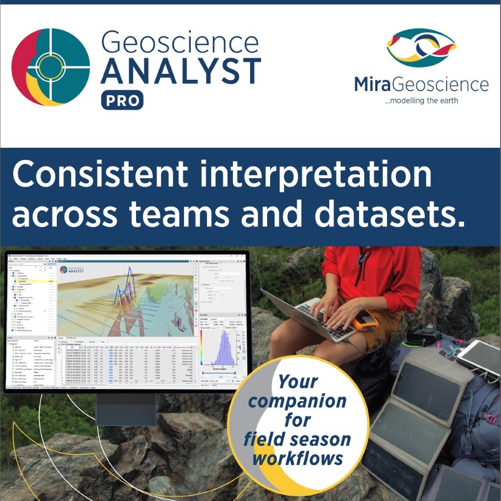
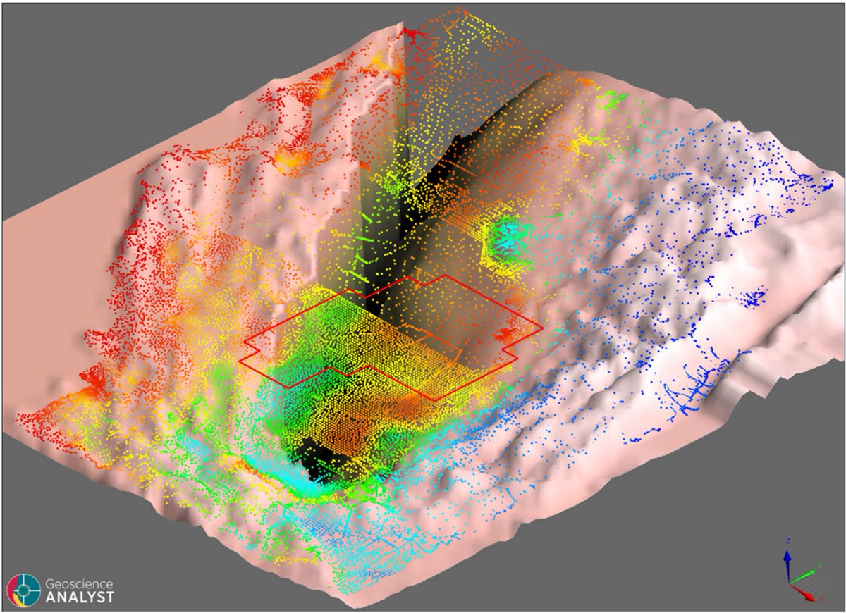
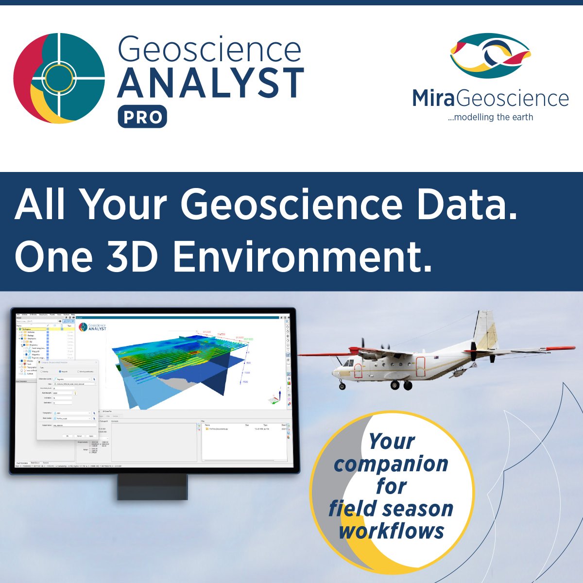
#Interpretation breaks down when teams are working from different versions of the data. #GeoscienceANALYST #Pro provides a shared #3D environment where #geology, #geophysics, #geochemistry, and #drillhole datasets all contribute to the same interpretation. mirageoscience.com/contact/
14
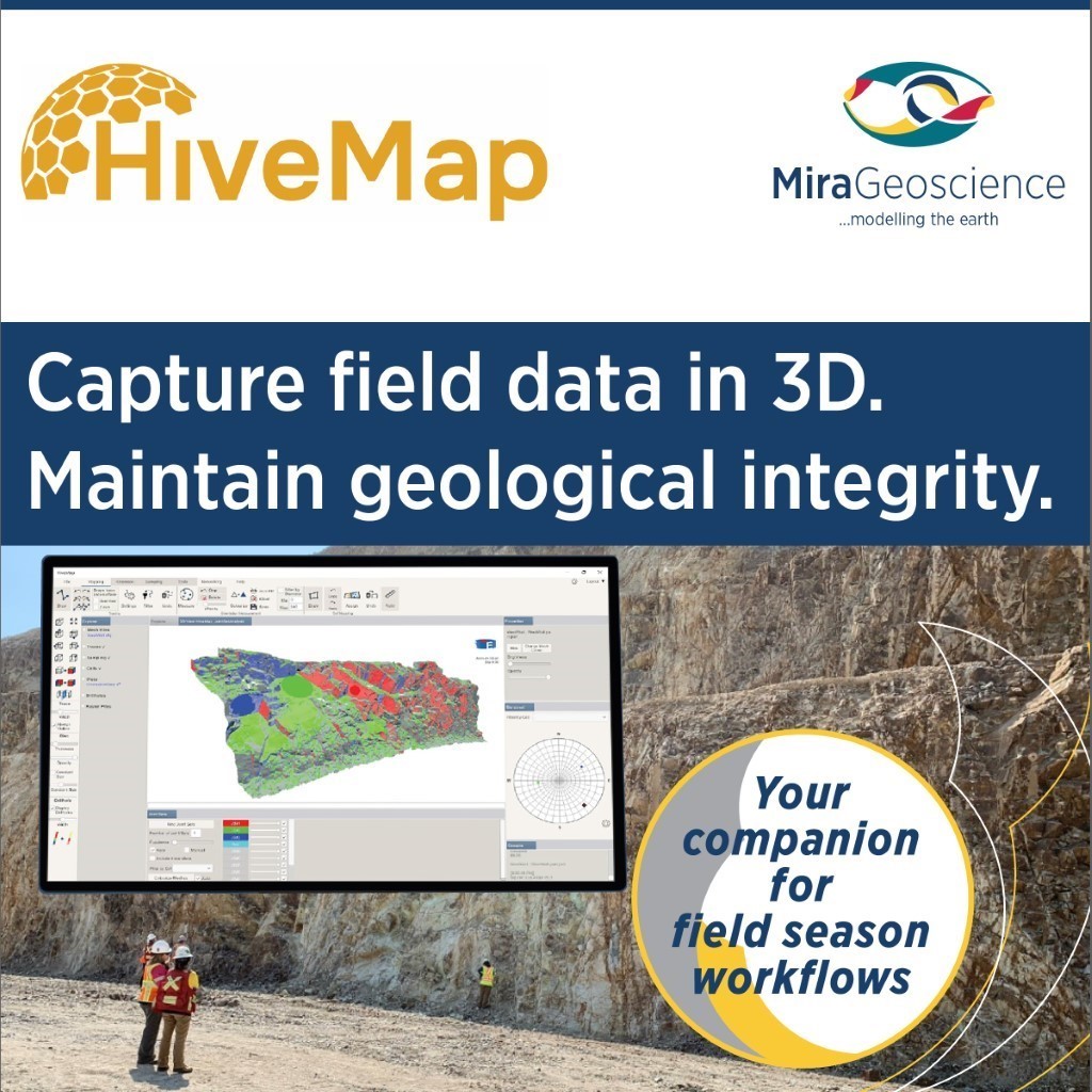
One of the biggest slowdowns in #FieldPrograms is the gap between #geological #DataCollection and #interpretation. With #HiveMap, you can enjoy:✅ Near real-time data transfer ✅ Reduced manual handling ✅ Faster updates to geological models.👉Learn more: mirageoscience.com/mining-in…
19
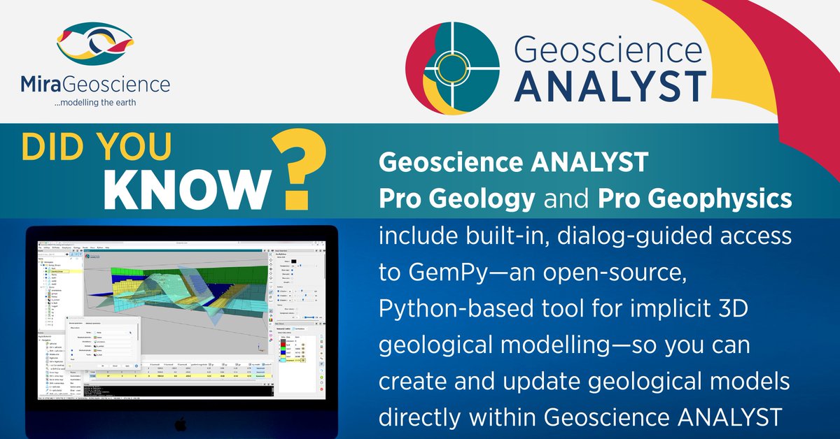
#Python meets 3D #geology.
#DYK: #GemPy — the #OpenSource implicit geological #3Dmodelling engine — is now part of #GeoscienceANALYST Pro Geology and Pro Geophysics. 👉Contact us to know more: mirageoscience.com/contact/
42
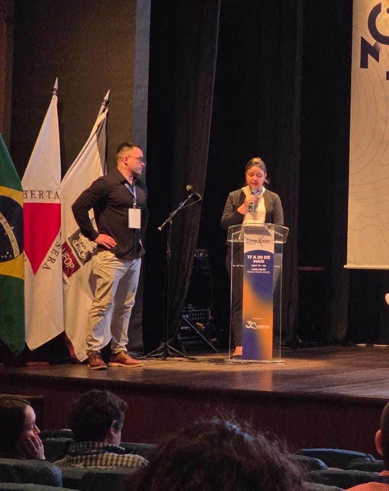
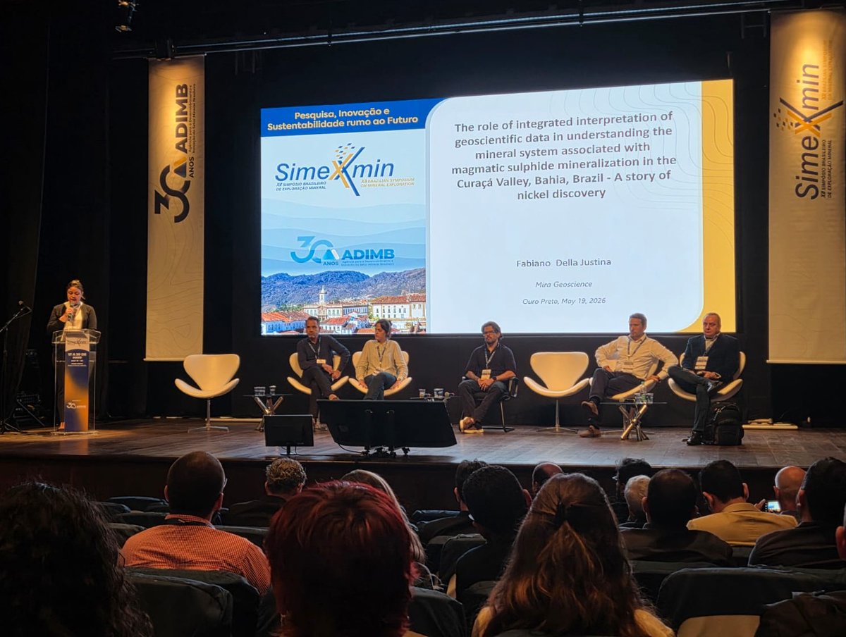
We just wrapped up #Simexmin2026 in Ouro Preto, #Brazil—a few days filled with great conversations, reconnecting with long-time friends, and meeting new people across the Brazilian #MineralExploration community. Thank you to everyone who connected with us during the #conference!

24
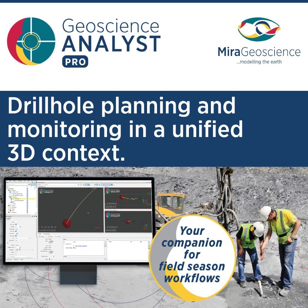
#Drilling moves fast. #Interpretation must keep up. With #GeoscienceANALYST #Pro drillholes can be planned and monitored directly in 3D, with datasets visualized and interpreted alongside the rest of your project data. So targeting decisions can evolve with the data—not after it.
29
We're thrilled to see #GeoscienceANALYST and #GOCADMiningSuite featured in the Jan 2026 edition of CALIFORNIA GEOLOGY™ #Magazine. The article on page 10 highlights how the #California #GeologicalSurvey is advancing on geologic #CarbonSequestration.
👉conservation.ca.gov/cgs/docu…
19
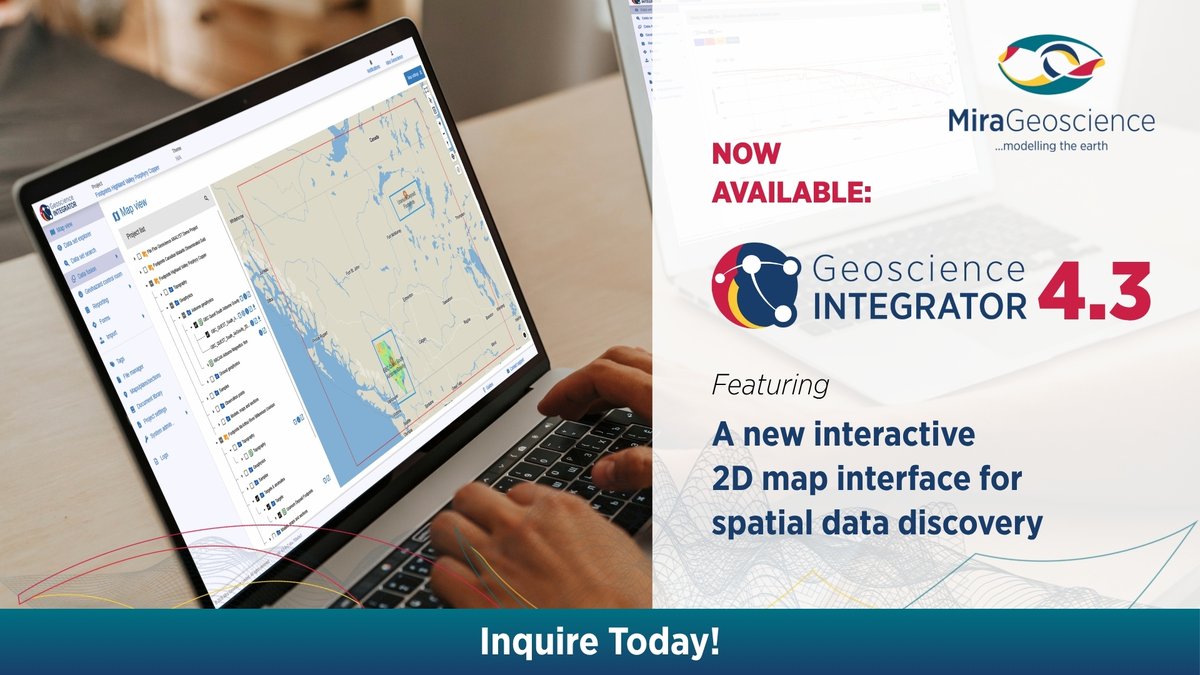
#GeoscienceINTEGRATOR 4.3 is here with exciting new features that take our #integrated3Dplatform for #datamanagement and #geohazardassessment to the next level.
Learn more: mirageoscience.com/new-relea…
15
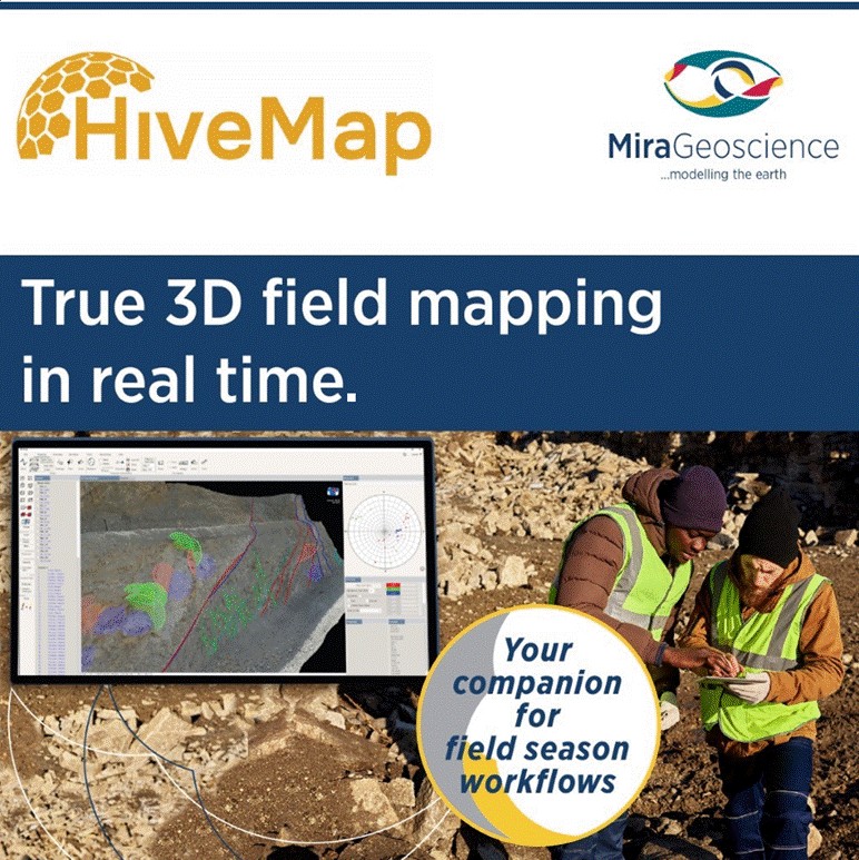
Field mapping remains one of the most critical—yet often disconnected—parts of the geological workflow. #HiveMap brings mapping directly into the field on tablet devices, enabling geologists to work within a true 3D environment.👉Get in touch to know more: mirageoscience.com/contact/
26
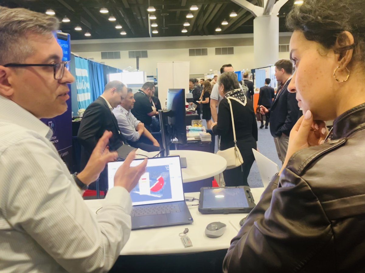
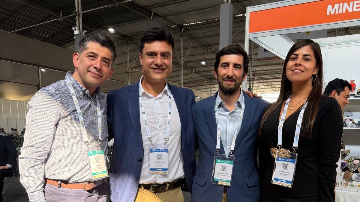
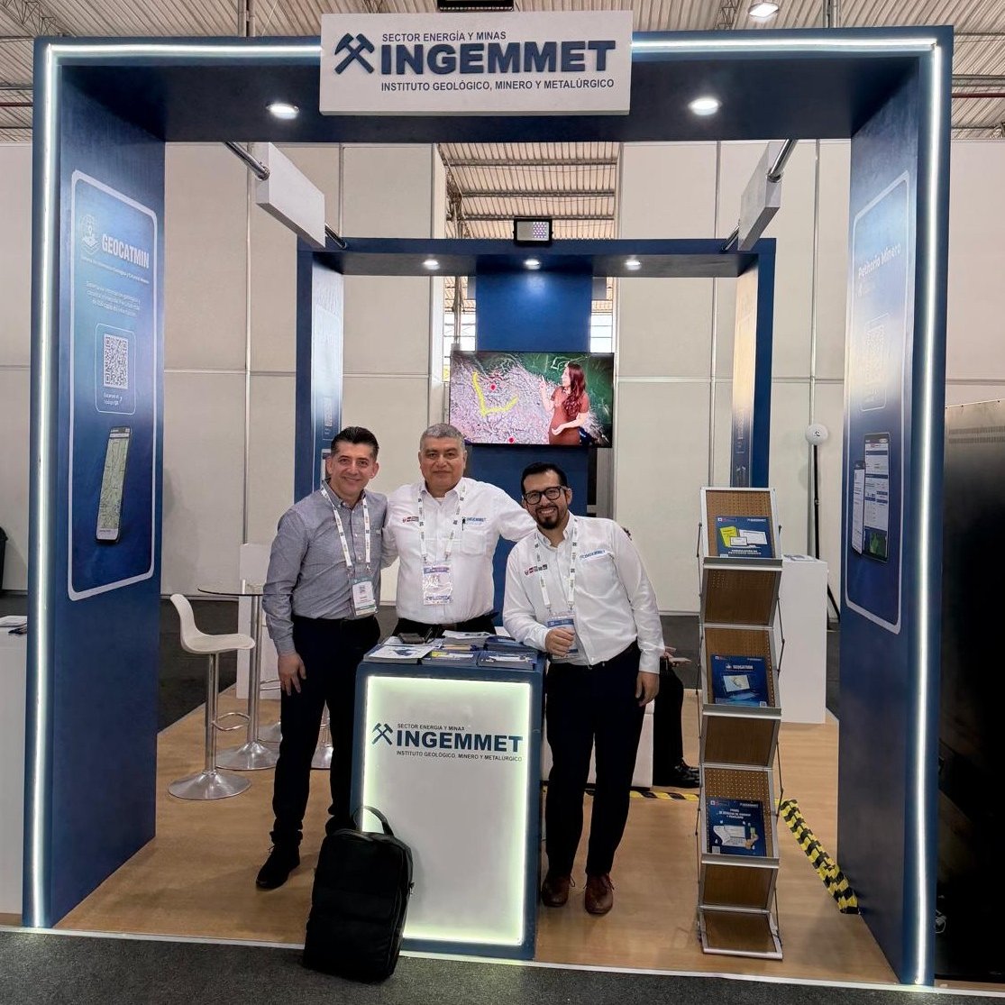
What a remarkable week! Two incredible #conferences, two vibrant cities, and countless valuable conversations: #CIMConnect in Vancouver and #ProExplo2026 in Lima. #ThankYou to the organizers for hosting such outstanding events, and to everyone who took the time to engage with us!
22
Field programs generate data quickly—but interpretation depends on how well that data comes together. #GeoscienceANALYST #Pro brings #drillhole data, #geophysics, #geology, #geochemistry, and any other #subsurface datasets into a single #3Dworkspace 👋mirageoscience.com/contact/
23
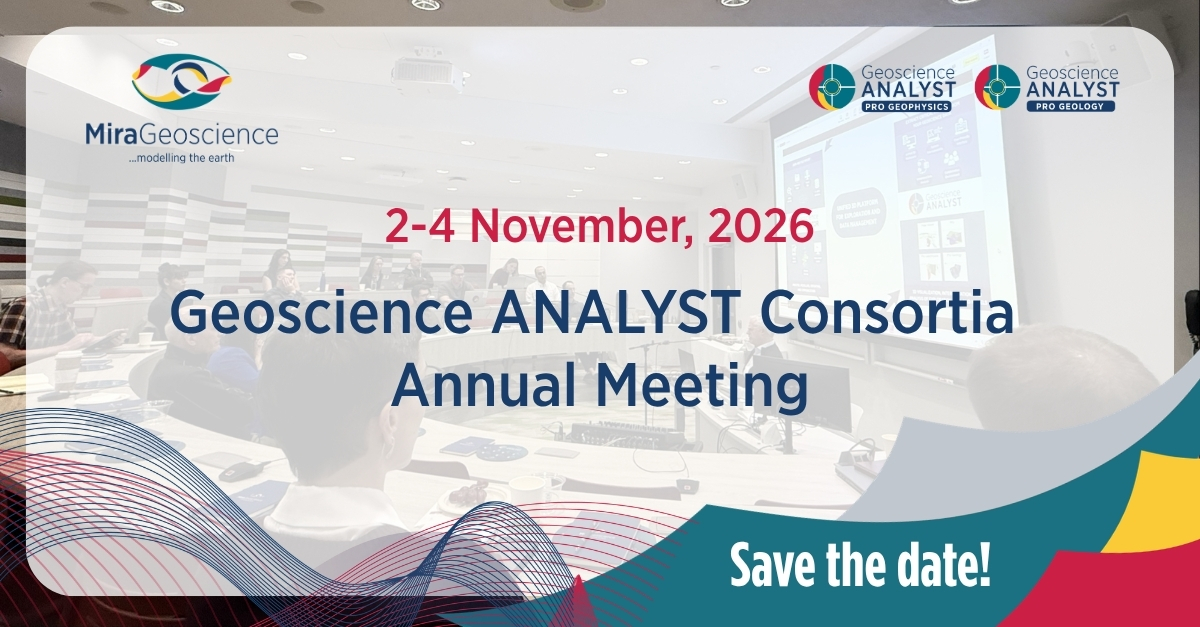
Working with Geoscience ANALYST Pro Geophysics and/or Pro Geology? If so, you're a valued member of our industry consortia. Join our 2026 Annual Meeting on Nov 2–4, held in person in Vancouver (virtual attendance available) 📅 Save the date! Formal invitations coming in Aug/Sep.
1
1
22
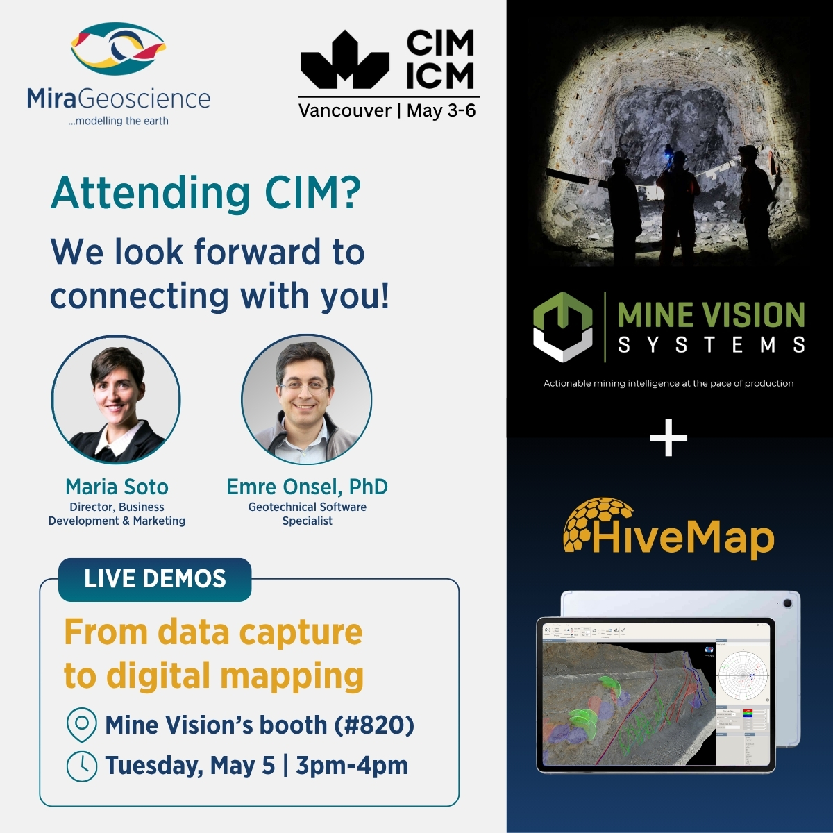
Excited to be at #CIM2026 next week and partnering with Mine Vision—a leader in rapidly captured 3D face mapping technology—to showcase a seamless workflow from data capture to digital mapping on mobile devices such as tablets & iPads, enabling true 3D field mapping in real time.
32
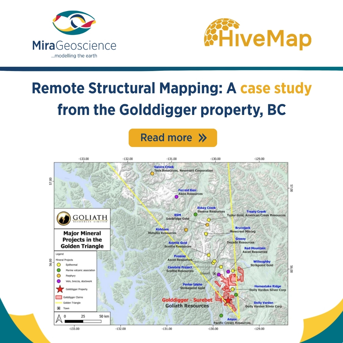
At Goliath Resources’ Surebet Shear Zone in northern BC, steep cliffs and extreme terrain make traditional #structural #mapping impossible. The solution? Combining #fieldwork, drone #photogrammetry, and digital mapping with #HiveMap.
👉Read case study: mirageoscience.com/goliath-r…
96
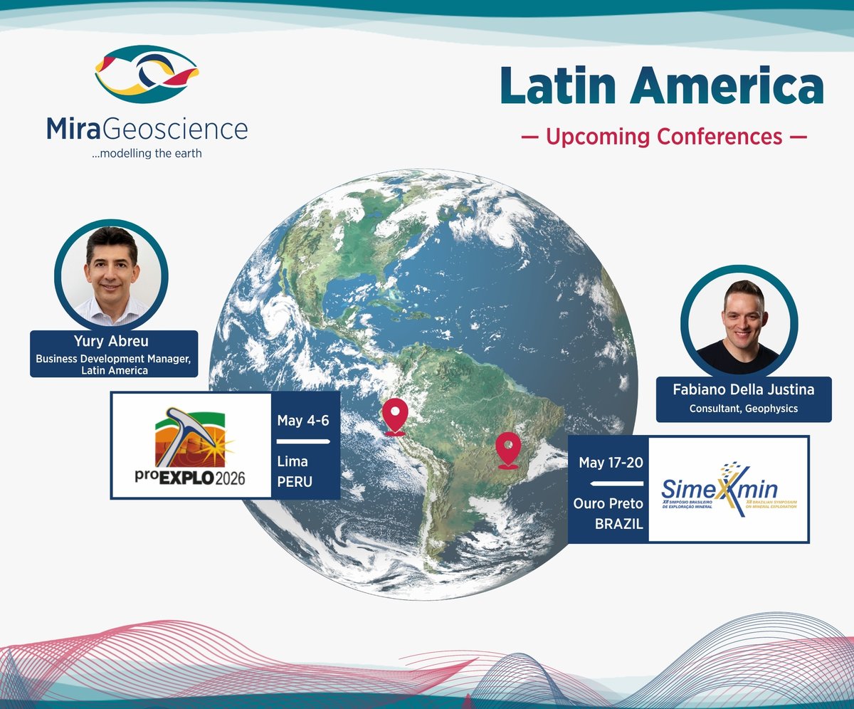
📢 Exciting news: we are attending two #conferences in Latin America next month!
Yury Abreu—Business Development Manager, Latin America—will be at #ProExplo2026 on May 4-6 in Lima, Peru, and Fabiano Della Justina—Consultant—will be at #Simexmin on May 17-20 in Ouro Petro, Brazil.
1
57
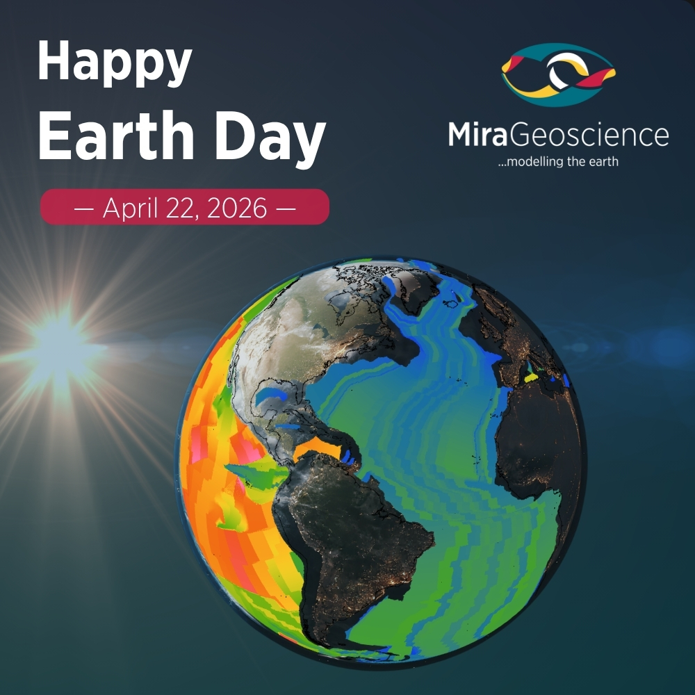
🌍 Happy #EarthDay2026! — Today we celebrate our planet and the scientists and industry professionals who work every day to understand, protect, and sustain it.
#MiraGeoscience #ModellingTheEarth #Passion4Geoscience #OurPowerOurPlanet
18
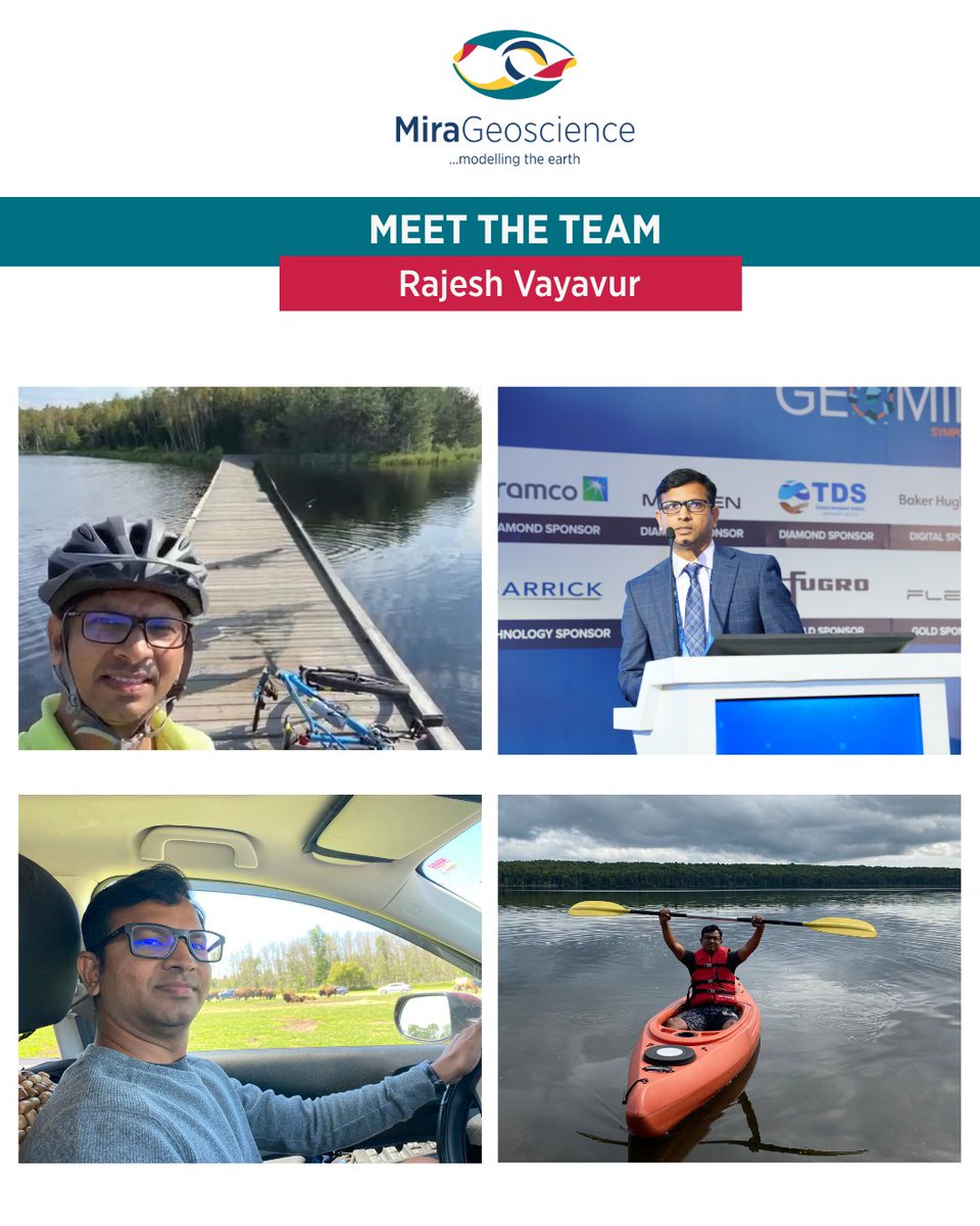
#MeetTheTeam: Rajesh Vayavur, PhD—Geophysical Software Specialist—brings extensive experience in integrated subsurface modelling. His passion for Earth sciences began early, inspired by his father’s work in the coal mining industry. Fun fact: he's very competitive at ping-pong.
34
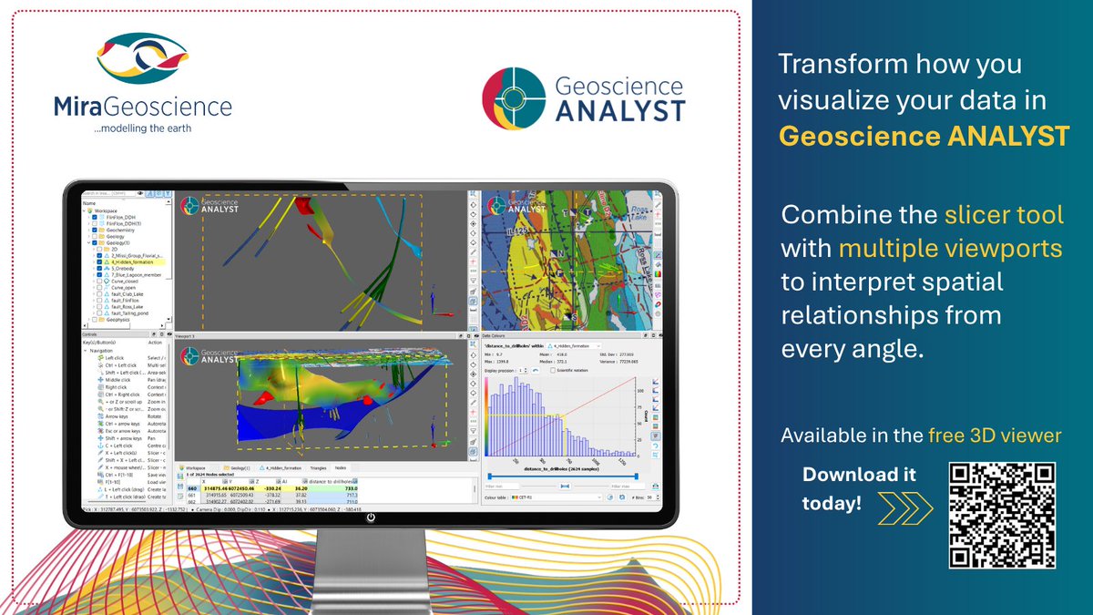
#DidYouKnow💡:
#GeoscienceANALYST offers powerful visualization tools—multi-viewports, a slicer, and dynamic panels—all in one workspace and available for free in the 3D viewer. Boost your interpretation confidence!
👉 Download it today: shorturl.at/AmYKg
36