
Modern Home Builder is the must-read resource for industry professionals in the reemerging homebuilding marketplace. A Knighthouse publishing publication.
Joined February 2014
- Tweets 2,329
- Following 621
- Followers 1,884
- Likes 48
759 Photos and videos


21 Aug 2019
2
9
19 Aug 2019
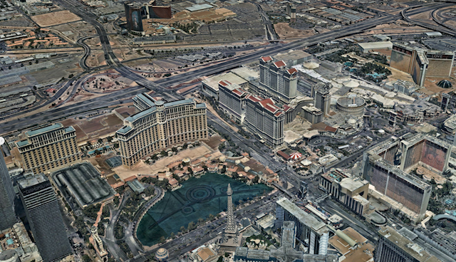
High quality #maps bring imagination to life, and inspire you to exceed expectations in ways even best satellite images fail to accomplish! Check out @Nearmap -> bit.ly/2BFJ4d4
1
6
14 Aug 2019
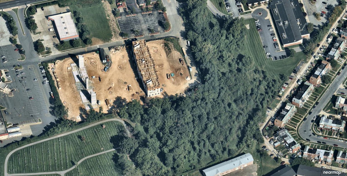
Get better oversight through virtual field visits with updated #imagery, and fewer surprises from a more thorough knowledge of current ground conditions with @Nearmap! bit.ly/2BFJ4d4
1
3
12 Aug 2019
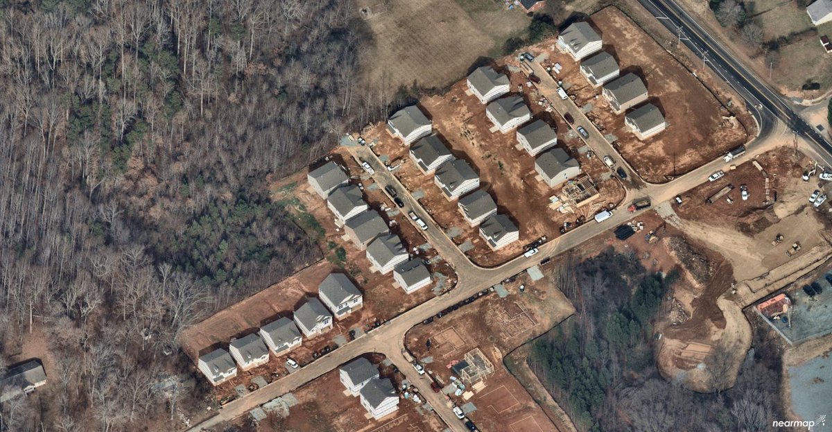
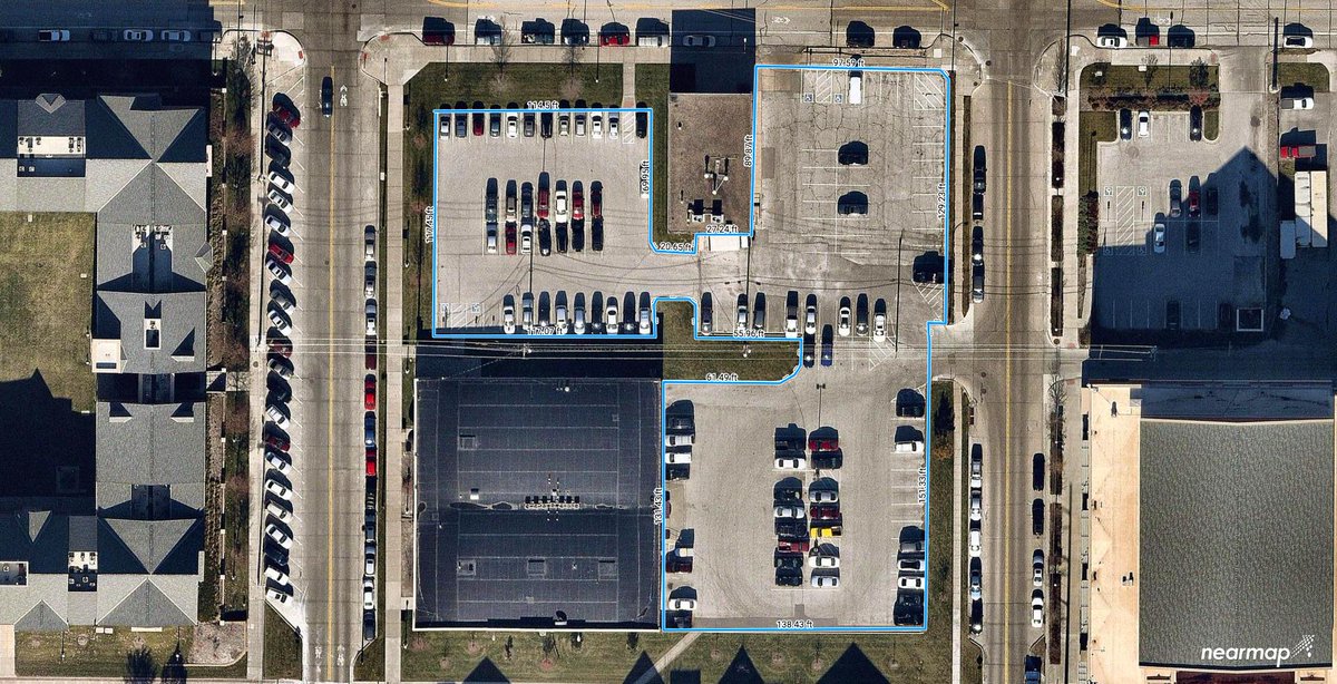
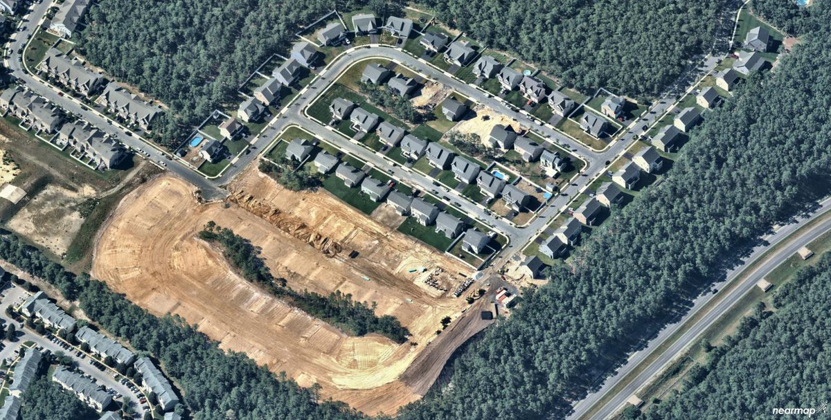
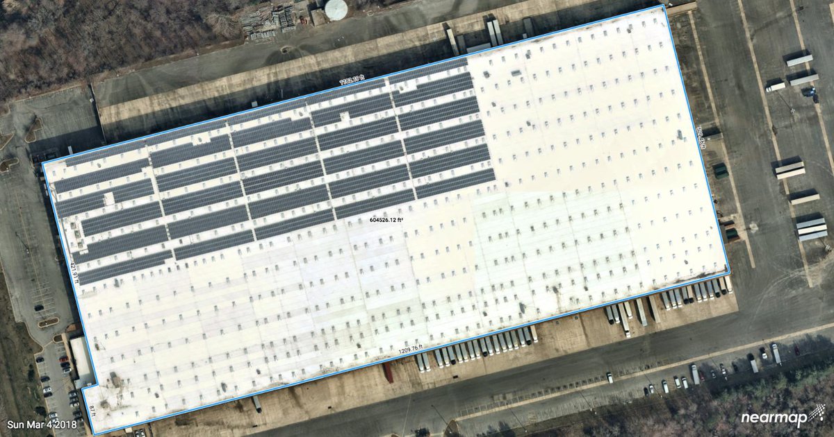
Get a clear view of the surroundings. Plan heavy vehicle access points and routes for minimal impact while assuring a steady, scheduled supply of #construction material with @Nearmap! bit.ly/2BFJ4d4
4
7 Aug 2019
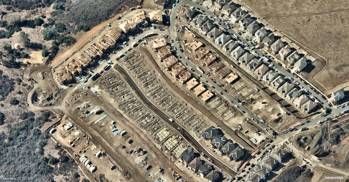
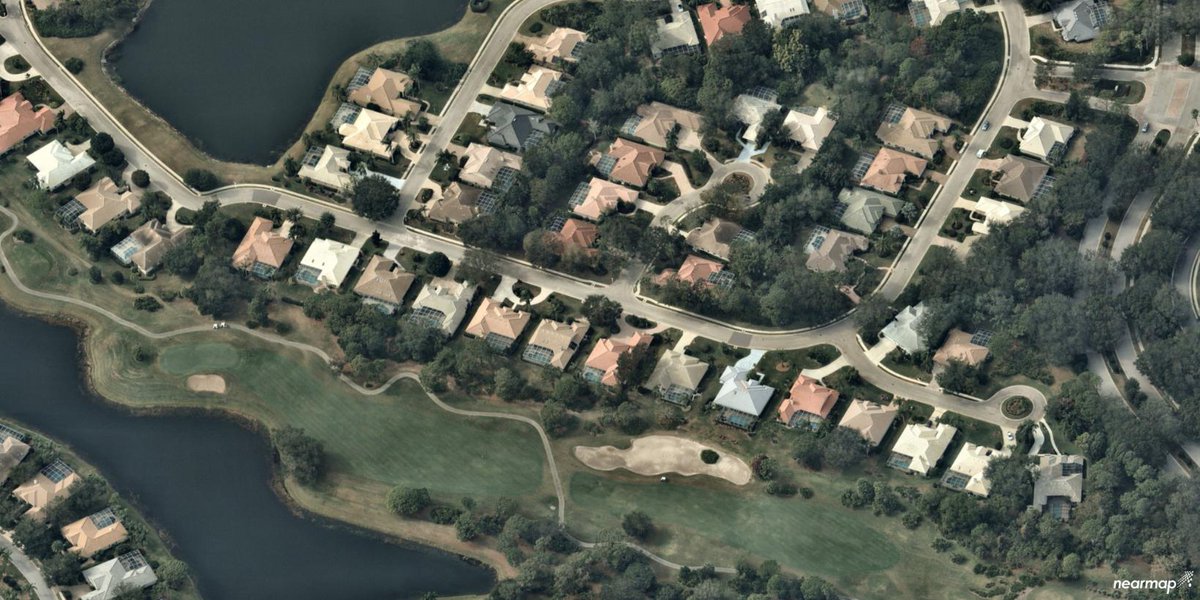
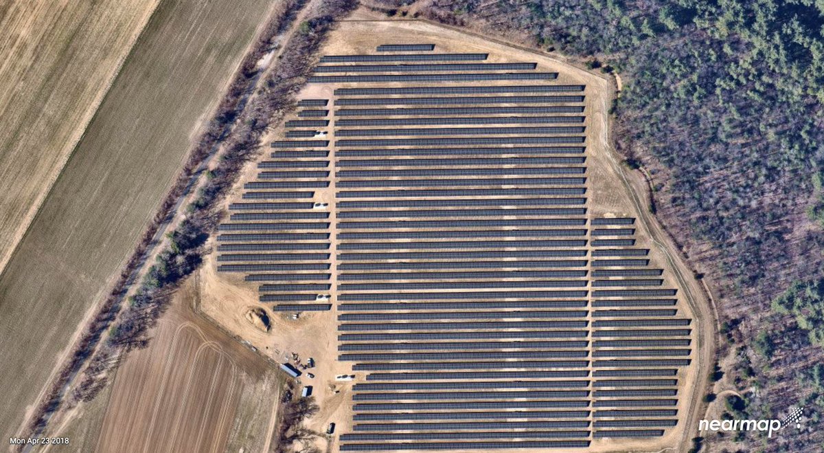
Land development site location has never been easier. @Nearmap captures high-res #aerialphotos of major US metros multiple times per year and streams current imagery to the cloud within days! bit.ly/2BFJ4d4 #landscapers
1
2
5 Aug 2019
Monitor, validate, and compare #property changes over time for up-to-date site selection and valuation with @Nearmap! bit.ly/2Cz5fOT #aerialimagery #realestate
2
5
31 Jul 2019
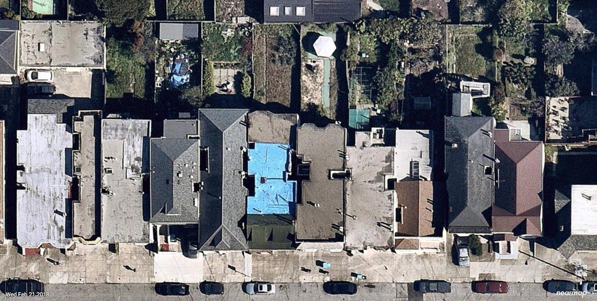
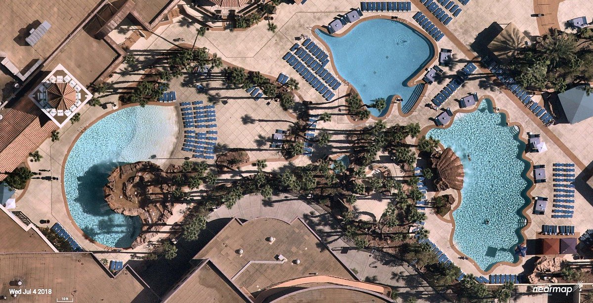
Hey #RealEstate friends! With @Nearmap, you get both: high definition orthography and incredibly clear oblique views from every direction! bit.ly/2Cz5fOT #aerialimagery
1
3
29 Jul 2019
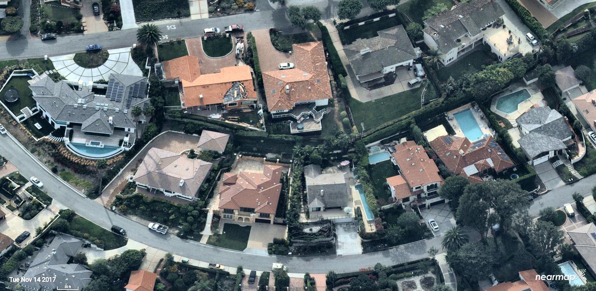
How close are neighboring properties, and what are the sight lines? You could use a bird’s eye view map to aid perspective, but you also want to remotely measure acreage and distance to amenities! @Nearmap can help -> bit.ly/2AUAB29#RealEstate
1
5
24 Jul 2019
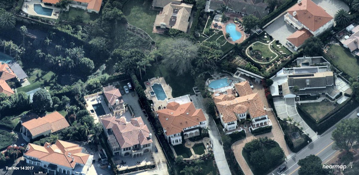
An #aerial view of property with breathtaking detail gives you great visuals that close the sale. Check out our friends at @Nearmap for more info. bit.ly/2kf73G6. #RealEstate
2
2
23 Jul 2019
.@KnighthousePub has significantly expanded its #digitalmedia capabilities with the acquisition of @StudioworxWeb! Knighthouse can now offer #webdesign, #ecommerce and other services to a growing roster of #contentmarketing clients. bit.ly/2Z6GvJF
3
22 Jul 2019
View properties from multiple oblique perspectives, or with precise, top-down #aerial orthography through @Nearmap.bit.ly/2kf73G6.
1
3
17 Jul 2019
Showcase properties like never before, with stunning, high resolution #aerialphotography from @Nearmap.bit.ly/2kf73G6 #RealEstate
1
3
15 Jul 2019
Hey #landscapers, explore your next project with ease from your desktop or mobile device. @Nearmap's High resolution PhotoMapsTM unlock new opportunities, and transform the way you work! bit.ly/2AUAB29
1
3
10 Jul 2019
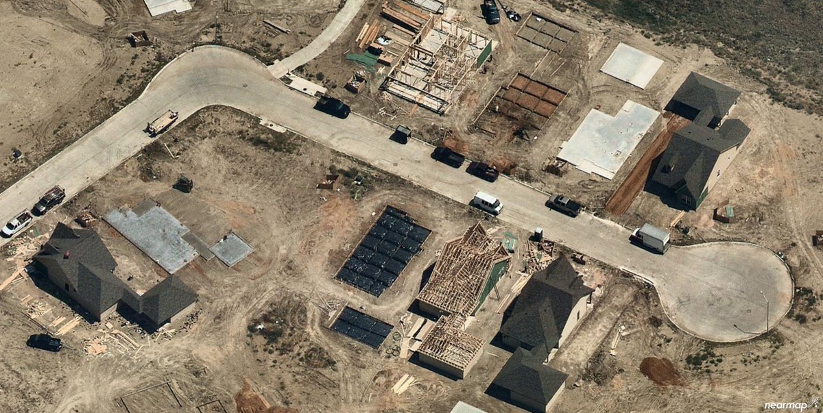
Our friends over at @Nearmap can give you instant access to high-resolution, multi-perspective #aerialviews of your next #residential development. Check them out! bit.ly/2AUAB29
1
2
8 Jul 2019
Need a better birds eye view of your home for your next project? @Nearmap can help you gather all the info you need from the comfort of your own desktop! bit.ly/2Cz5fOT #aerialimagery
1
5
3 Jul 2019
Use the new Projects tool from @Nearmap to create & save custom site plans and designs directly on high-res imagery — without having to export into an external CAD platform. nr.mp/fvU750ukhX2
1
2
1 Jul 2019
You want the most current aerial maps of your locations or customers, but you also want the highest resolution possible. Nearmap accomplishes both by capturing urban areas and nearly 70% of the US population, multiple times per year. ow.ly/IBJj30gBmXE
1
26 Jun 2019
Get an ultra-clear bird’s eye view, and precisely measure locations or features – all in three dimensions. View both seamless mosaics and indexed source photography with @Nearmap. ow.ly/IBJj30gBmXE
1
2
4
24 Jun 2019
.@Nearmap gives @Momentumsolar an advantage in the ability to see both current and historical images of a property. Learn more -> nr.mp/pq0R50ukhE2 #aerialimagery
1
3
19 Jun 2019
Before @Nearmap, @Momentumsolar required almost two weeks before technicians could get a quote to a customer. With Nearmap, they cut the average lead time down to two days! Learn more -> nr.mp/pq0R50ukhE2 #aerialimagery
2
3