
Do not use this platform to request assistance. Call 132 500 for emergency help in floods and storms. Call 000 for life-threatening emergencies. #NSWSES
Joined November 2010
- Tweets 11,839
- Following 237
- Followers 89,224
- Likes 1,266
2,692 Photos and videos


NSW SES retweeted

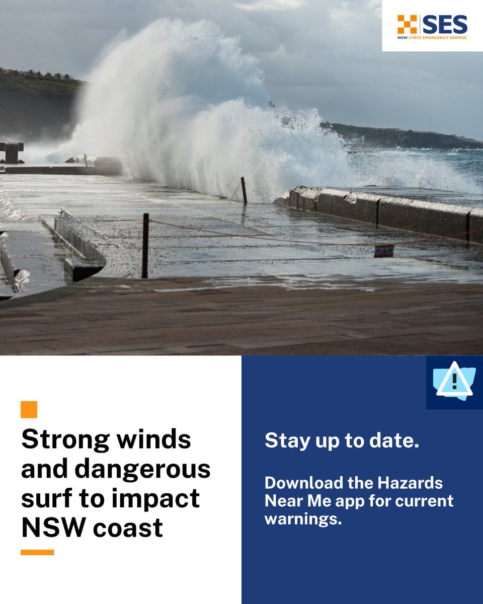
⚠️🌬️Severe Weather Warning for Damaging Winds, Thurs 4 June
Damaging wind gusts to 90 km/h or more possible about southern and central ranges today, extending to the #Illawarra Coast and northern ranges this evening.
bom.gov.au/warning/severe-we…

5
7
1,703

A Severe Weather Warning for DAMAGING WINDS has been issued by the Bureau of Meteorology.
Residents in parts of the Illawarra and parts of Mid North Coast, South Coast, Central Tablelands, Southern Tablelands, Snowy Mountains, Northern Tablelands and Hunter Forecast Districts should monitor conditions and follow safety advice.
View the full warning here: bom.gov.au/warning/severe-we…
📲 Download Hazards Near Me or visit the NSW SES website to stay up to date with warnings and information, especially as the weather moves through and may affect other areas.
Stay safe and prepared:
🔸 Move your car under cover or away from trees and powerlines if safe to do so.
🔸 Tie down loose items in your yard.
🔸 Stay indoors away from windows and keep children and pets indoors as well.
🔸 Report fallen power lines to either Ausgrid (131 388), Endeavour Energy (131 003), Essential Energy (132 080) or Evoenergy (131 093) as shown on your power bill.
🔸 If you require assistance in floods and storms, call the NSW SES on 132 500. In life-threatening situations, call Triple Zero (000).
Issued at 10:59 am EST on Thursday 4 June 2026
2
4
1,004
The temperature has dropped, and puffer jackets are officially back taking over the streets of NSW! 🧥⛄
If you haven’t already, it’s time to dust off your winter woolies as there’s a chilly week of weather ahead. Here’s what we’re expecting:
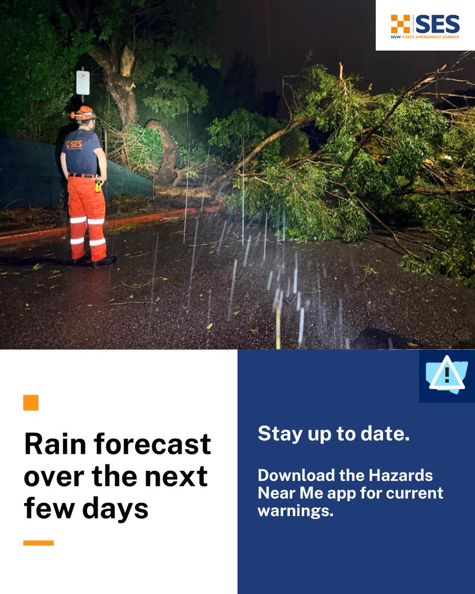
🍃 From Tuesday morning to Wednesday DAMAGING WINDS is forecast in parts of the South Coast, Central Tablelands, Southern Tablelands, Snowy Mountains and South West Slopes Forecast Districts.
⛈️ West of the Divide is forecast to have GUSTY THUNDERSTORMS, whilst HEAVY RAINFALL is likely across the Southern/Western Slopes leading into Wednesday.
❄️ From Thursday morning stay vigilant of FROST and potential BLACK ICE in part of the ranges/western slopes.
🚘❗Beware the dangers of black ice when driving or walking on hard surfaces. Reduce your speed and exercise caution.
🏔️⚠️ If you're heading out into alpine areas, ensure you're prepared:
🔶Always check the weather and plan ahead
🔶Carry a personal locator beacon and tell someone your plans
🔶Complete a National Park trip intentions form and bring the right gear
🚘❗With heavy rainfall forecast in some areas, remember to steer clear of floodwaters. If you come across a flooded road, turn around and find an alternative route.
Stay safe and prepared:
🔶Move your car under cover or away from trees and powerlines if safe to do so.
🔶Tie down loose items in your yard.
🔶Trim any over heading branches and clear your gutters
📞If you require assistance, call us on 132 500. In life-threatening situations, call Triple Zero (000)
2
6
1,005
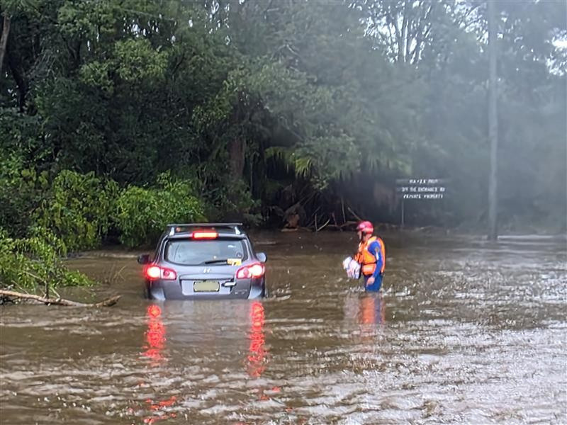
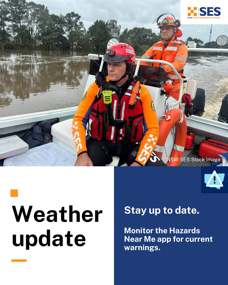
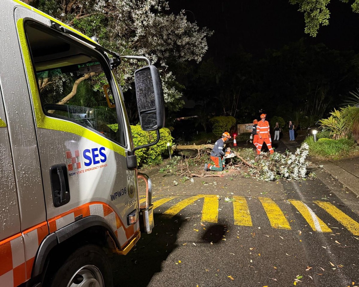
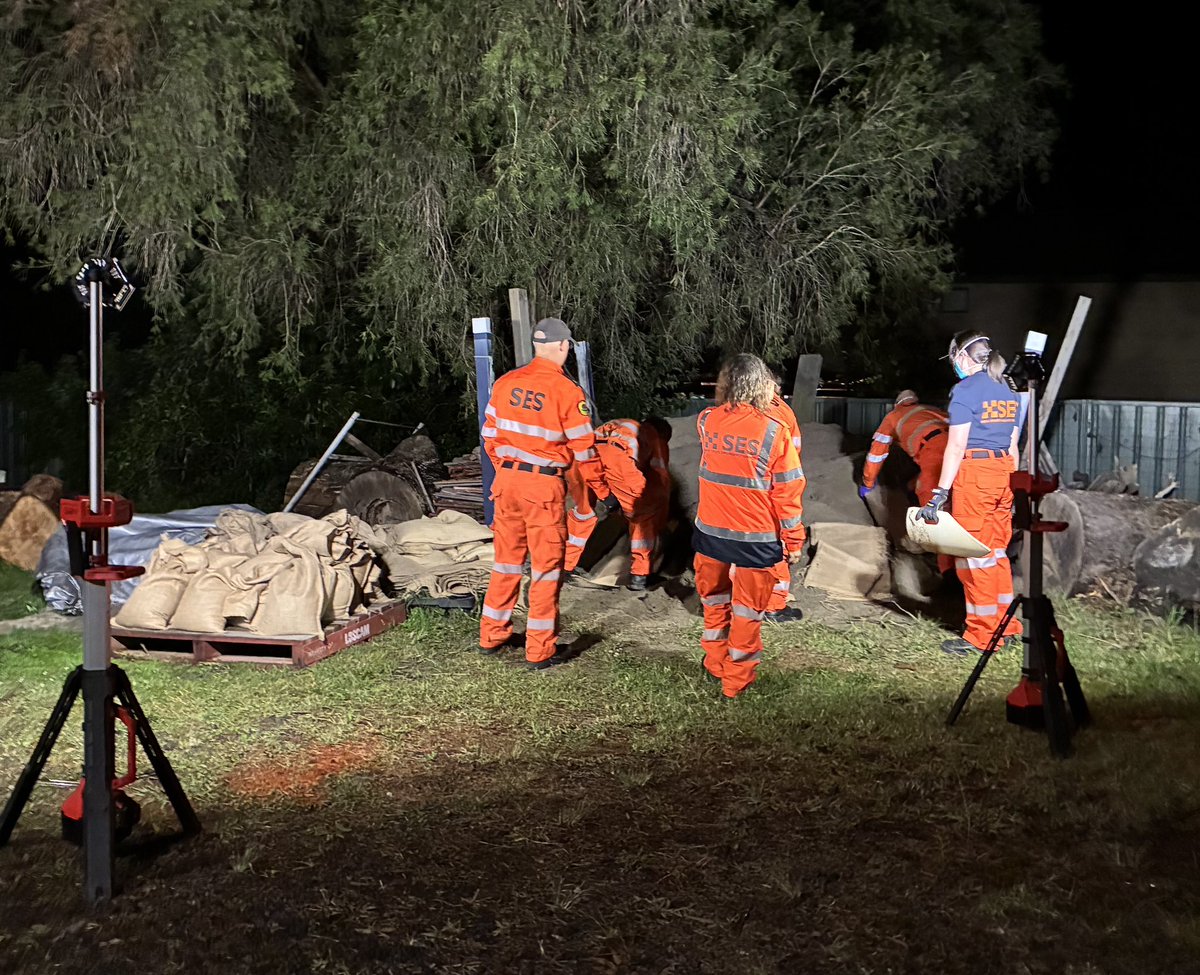
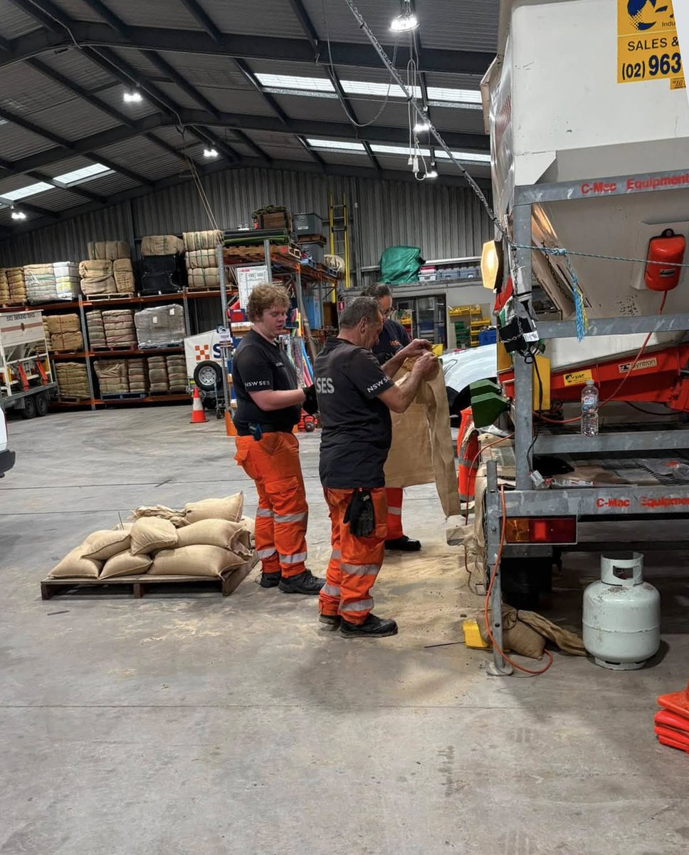
NSW SES has responded to more than 500 incidents as widespread rainfall and thunderstorms impact northern and eastern parts of the state. 🌧️
Flood rescue operators, along with partner emergency service personnel, have completed seven flood rescues across the Central Coast and Mid North Coast. The majority have involved cars that became trapped in floodwater as flash flooding inundated roads quickly.
🚘❗Steer clear of floodwater. If you come across a flooded road, turn around and find an alternative route.
Heavy rainfall is forecast to continue for parts of the Hunter, Mid North Coast and adjacent districts this afternoon, before easing later today.
📲 Stay across the latest warnings and advice by downloading the Hazards Near Me app and setting up a watch zone for your local area.
☎️ If you need assistance during storms or floods, call the NSW SES on 132 500. In a life-threatening emergency, always call Triple Zero (000).
3
7
995
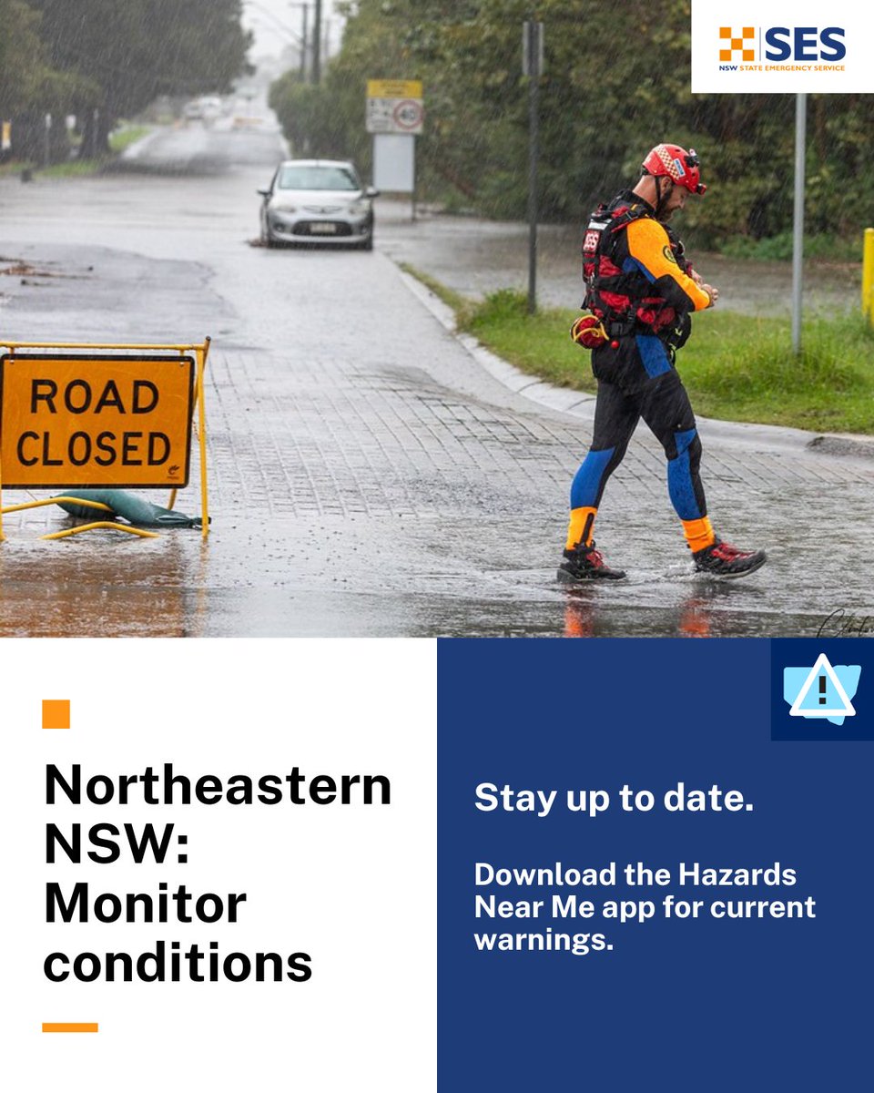
Communities across northern and eastern NSW are being urged to monitor conditions as NSW SES responds to widespread rainfall and thunderstorms 🌧️
During this rain event so far, we have responded to more than 240 incidents.
Here’s what we’re expecting over the next 48 hours:
🔸 Rainfall is forecast to increase across the Mid North Coast, Upper Hunter and adjacent districts from early Thursday evening.
🔸 The severe weather is expected to spread south through the Mid North Coast, and Hunter on Friday.
🔸Rainfall is expected to ease late Friday afternoon/evening but severe thunderstorms may also bring the risk of damaging winds and large hail until Saturday.
🚘 The risk of localised heavy rainfall brings the possibility of flash flooding. Flash flooding can occur quickly and without much warning. If you come across a flooded road, turn around and find an alternative route.
⚠️ Minor flooding is possible along the Orara, Manning and Gloucester, Bellinger, Hastings, Paterson and William Rivers and parts of the Hunter River from Thursday into Friday.
📲 Keep an eye on all warnings as they go out by downloading the Hazards Near Me app or by visiting the NSW SES website.
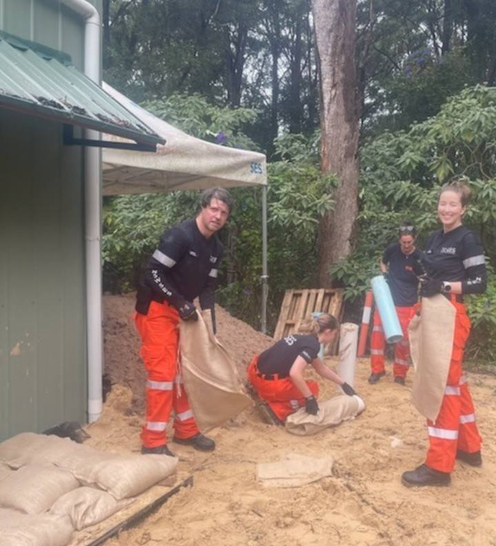
🏠 Ensure your home is prepared by tying down loose items, parking away from trees and powerlines, trimming branches and clearing your gutters.
Read more: ses.nsw.gov.au/news/nsw-ses-…

1
4
5
898
NSW SES retweeted
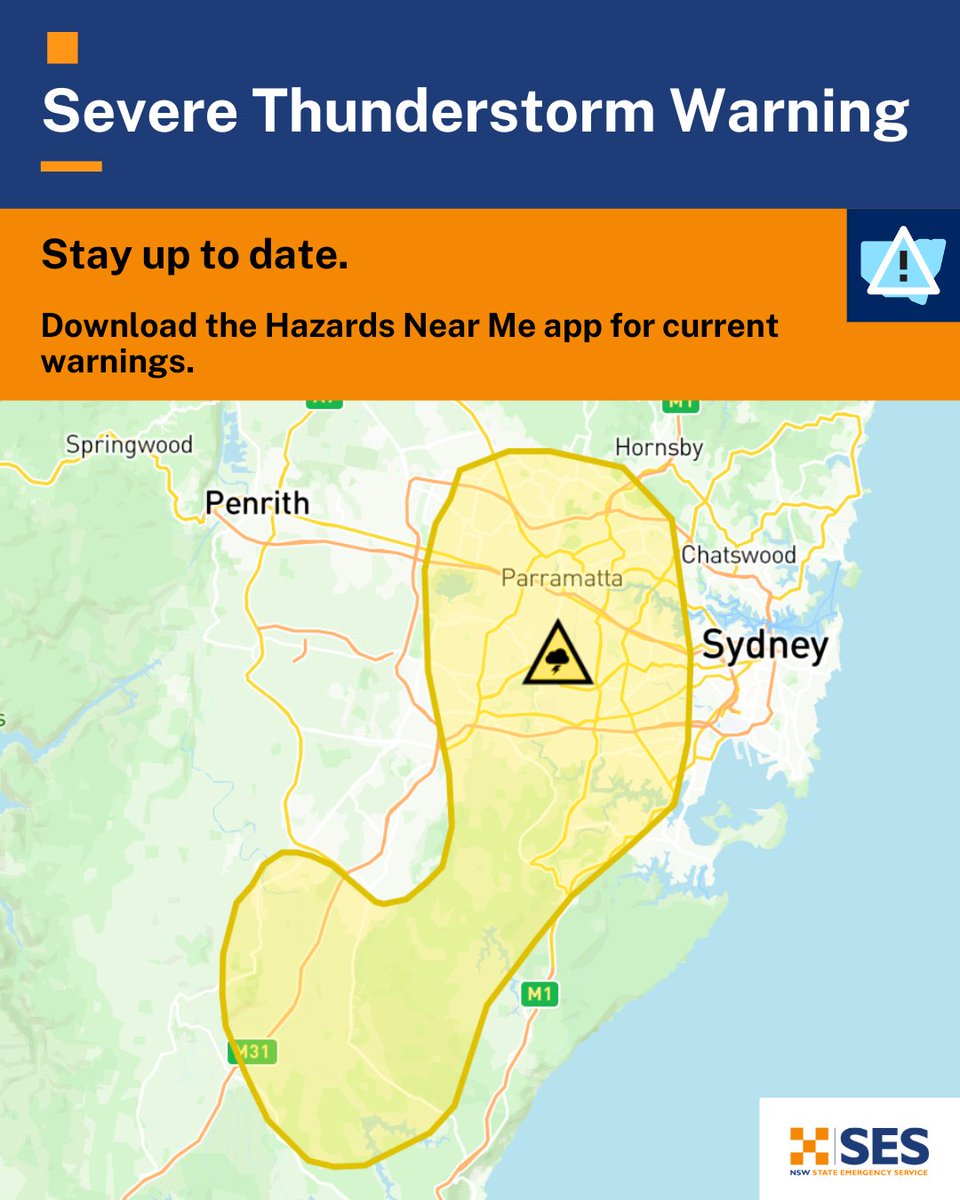
⚠️⛈️Severe Thunderstorm Warning for HEAVY RAINFALL and DAMAGING WINDS
parts of Mid North Coast, Hunter, North West Slopes and Plains, Central Tablelands and Central West Slopes and Plains
Severe storms affecting parts of the central east and northeast
bom.gov.au/warning/severe-th…

5
8
2,437
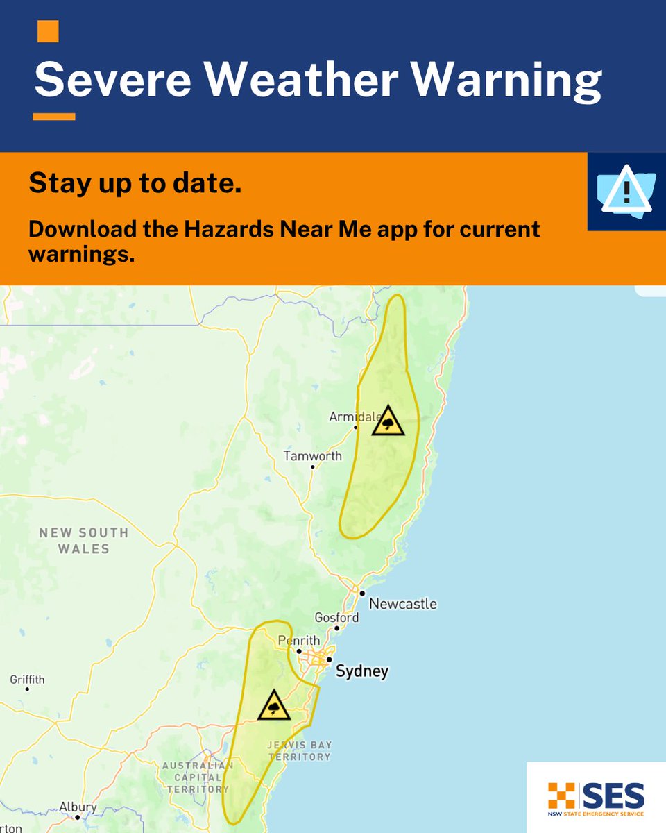
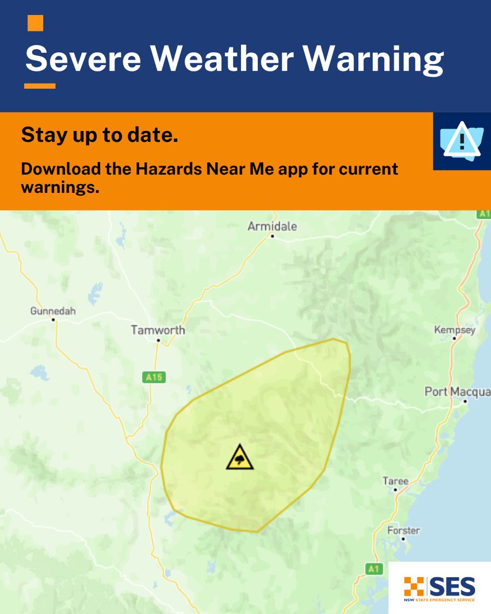
A Severe Weather Warning for HEAVY RAINFALL has been issued by the Bureau of Meteorology for parts of Mid North Coast, Hunter, North West Slopes and Plains and Northern Tablelands Forecast District🍃
Full warning: bom.gov.au/warning/severe-we…
2
2
1,118
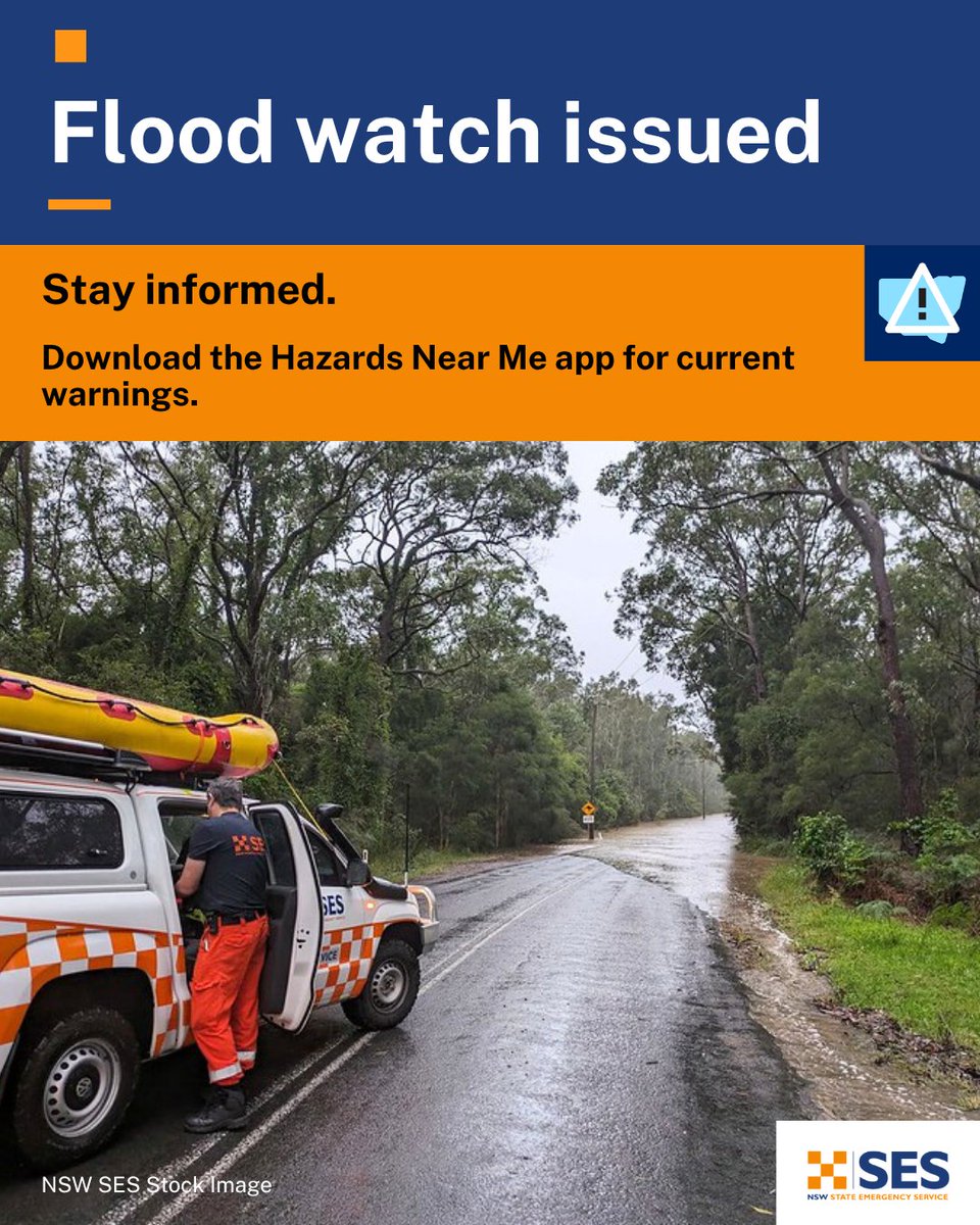
⚠️An initial Flood Watch for the Hunter and parts of the Mid North Coast has been issued.
Full warning: reg.bom.gov.au/nsw/warnings/…
2
4
958
🚘 Steer clear of floodwater. If you come across a flooded road, turn around & find an alternate route. Remember that flash flooding is unpredictable and dangerous. Stay vigilant.
📲 Download the Hazards Near Me app to stay across warnings & information or visit our website.

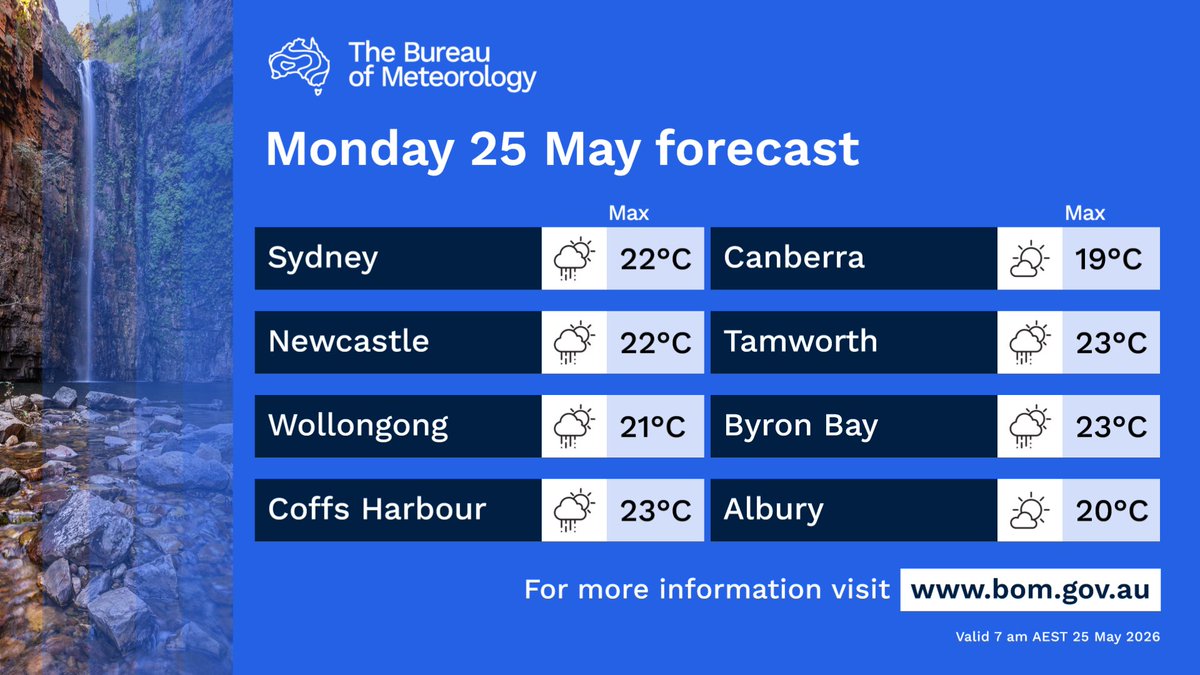
Severe Weather Update: Significant rain for eastern Australia
Video current: 11am AEST 25 May 2026
For the latest forecasts and warnings, go to bom.gov.au or the BOM Weather app.
2
5
1,675
NSW SES retweeted
Scattered showers about the coast and ranges, extending into the western slopes and plains. Showers and storms about the far west. Chance of a shower elsewhere. Day-time temperatures mostly above average, below in the west. Hazardous surf about the coast.
bom.gov.au/location/australi…
5
8
1,798
NSW SES retweeted

Happy Wear Orange Wednesday (WOW DAY) to our friends from @NSWSES. 🧡🟠🧡
Thanks for all you do. Always a pleasure working with you!
#lifesaverhelo #wowday


3
6
985
More than 200 incidents and 3 flood rescues have been responded to by our crews in the past 24 hours throughout the Northern Rivers and Mid North Coast.
All Watch and Act flood warnings were downgraded to Advice level warnings this afternoon.
Read more: shorturl.at/hGVhP
3
7
959
Communities in Northeastern NSW should monitor conditions as flash flooding and minor river rises are possible. Read more: facebook.com/NSW.SES/posts/p…
18
2
6
3,508
NSW Coast & ranges: showers & thunderstorms are forecast Sunday-Tuesday. Ensure you monitor conditions. There is a potential for localised moderate to heavy falls which could cause flash flooding.
🚫 If you come across a flooded road, turn around & find an alternative route.
2
5
803
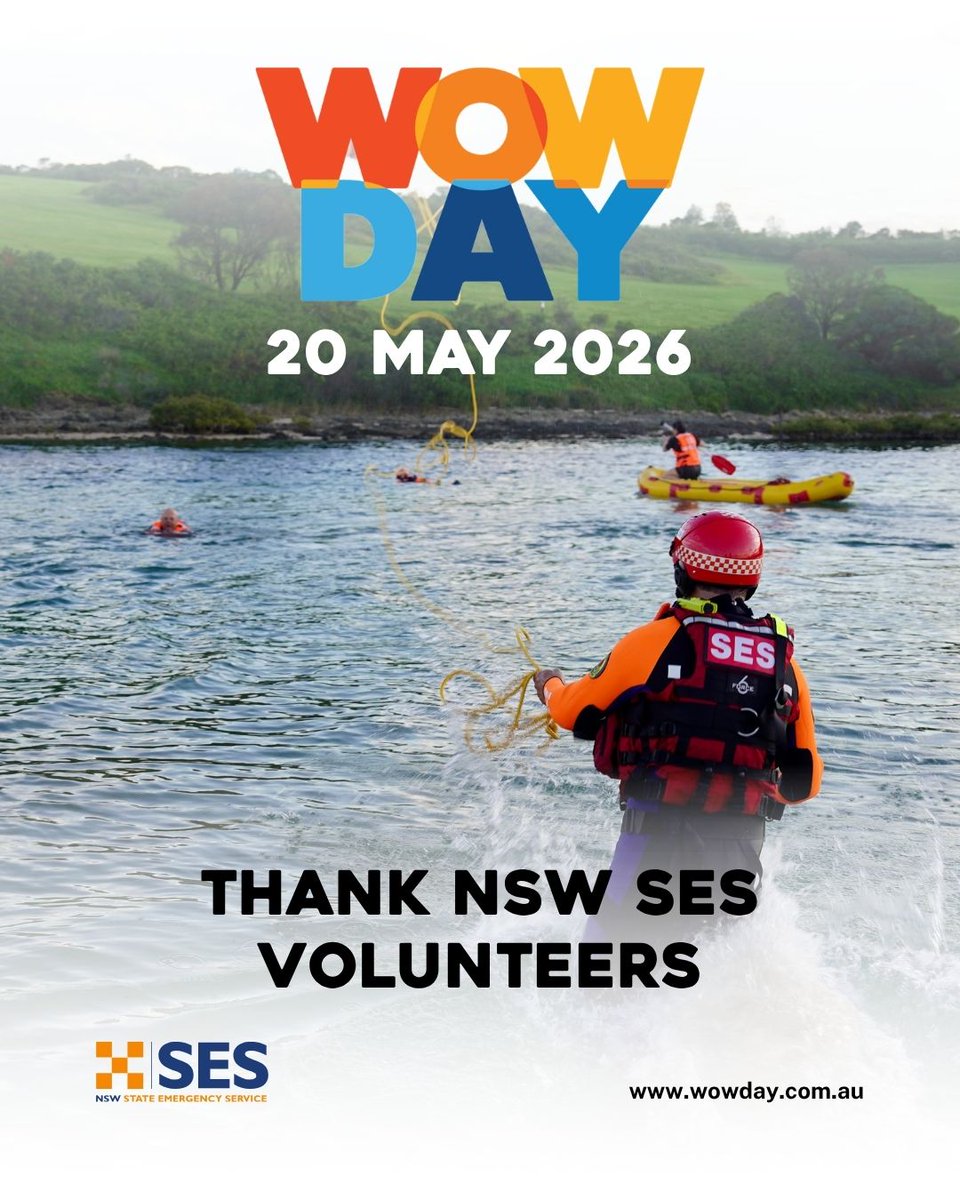
Sign our virtual Thank You Wall to celebrate our SES volunteers for WOW Day on May 20: wowday.com.au 🧡
Let's give back to those who give so much to their community!
2
4
722
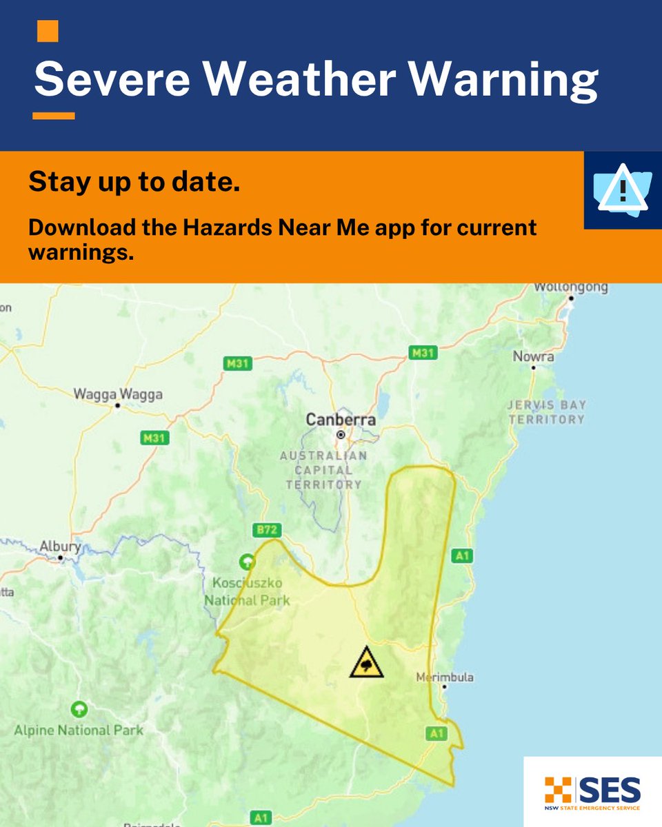
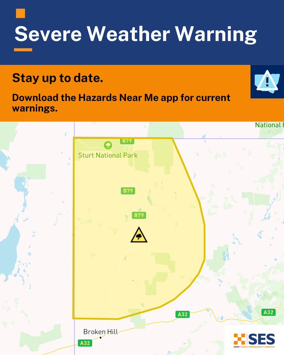
A Severe Weather Warning for DAMAGING WINDS has been issued 🍃
Residents in parts of the Snowy Mountains and parts of South Coast and Southern Tablelands Forecast Districts should monitor conditions and follow safety advice.
Full warning: reg.bom.gov.au/products/IDN2…
3
5
843
NSW SES retweeted
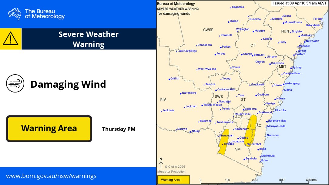
⚠️🌬️ 10:54am AEST: Severe Weather Warning for Damaging Winds for parts of the South Coast, Southern Tablelands & Snowy Mountains of #NSW.
Northwesterly winds with peak gusts around 100km/h are possible later Thurs and into Fri.
Details: bom.gov.au/warning/severe-we…
6
4
2,214
NSW SES retweeted
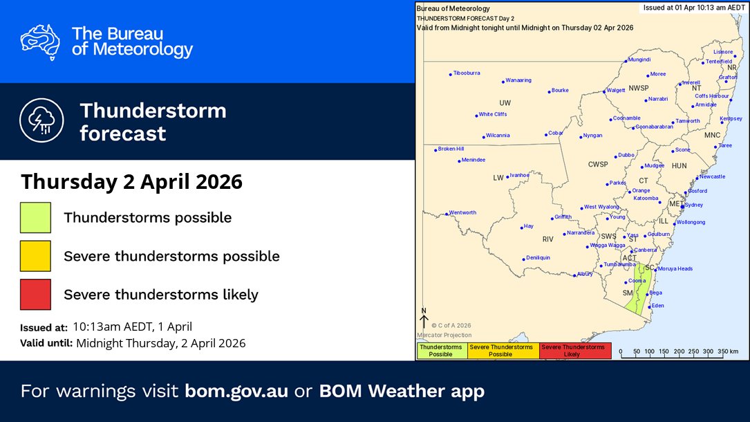
Thunderstorm FORECAST Thursday (2/4):
🟢Thunderstorms are possible across the southeast coastal ranges, most likely during the afternoon.
Forecasts and warnings: bom.gov.au/location/australi…
3
4
2,014