
Joined March 2013
- Tweets 95
- Following 22
- Followers 520
- Likes 24
31 Photos and videos


30 Dec 2022
Safer, faster, better data for 2023
Wishing our clients and friends, old and new, a Happy New Year! Here's a quick look back on 2022 and some of the things we're looking forward to next year.
sway.office.com/6ozBDqfjWWEL…
2
2
20
1,081
30 Nov 2022
One of our favorite partners to work with. @unleashlive is a game changer and we're proud to use and offer their services to our customers!
30 Nov 2022

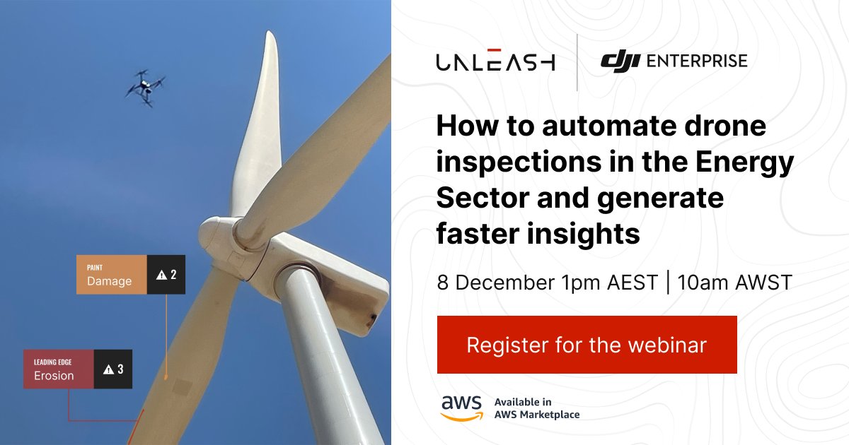
Join our #webinar where @DJIGlobal will share the latest in their drone product line and we'll show how to automate your asset inspections for fast insights and improved asset performance. Register now:
hubs.ly/Q01trlL_0
#Drones #DJI #AI #ComputerVision #AssetMaintenance
2
26
30 Nov 2022
Methane Leak Detection and Monitoring Services... Safer.Faster.Better...Data
2
20
11 Nov 2022
✅150 miles of Methane detection in Pennsylvania and West Virginia...
✅ 87 miles of High resolution Mapping of the NCPA sections...
🟩 90 /- miles of High resolution Mapping of the SWPA and West Virginia sections... Here we go!
Busy Fall...
#fastersaferbetter
3
26
21 Sep 2022
This fall we're pushing hard to wrap up a 150 mile methane leak monitoring project here in the north east part of the USA. Helping clients identify real threats and take immediate action to correct problems increases safety and helps meet regulatory goals. Faster, Safer, Better
8
58
30 Jun 2022
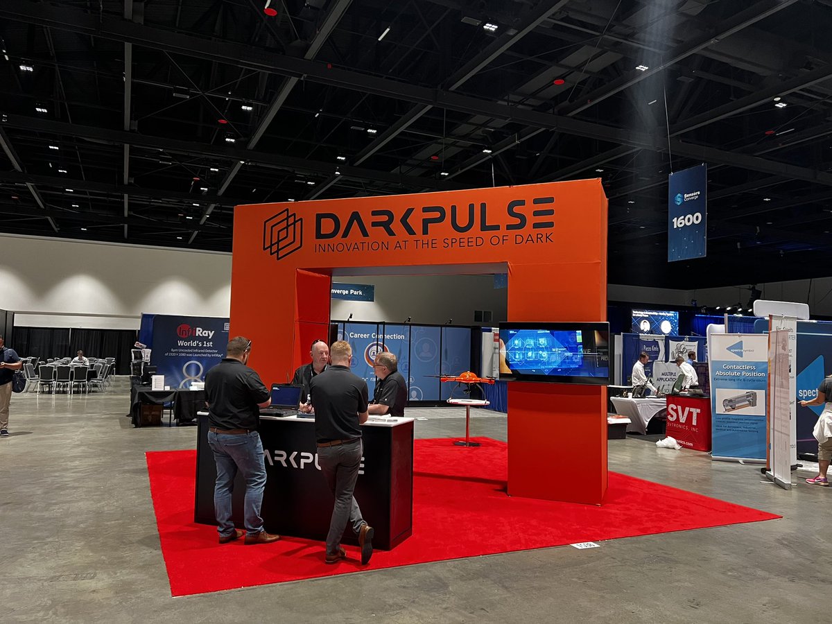
Quick little LiDAR scan and stitch of our booth at the sensors converge conference this week in San Jose @darkpulse
3
32
29 Jun 2022
Out with the @darkpulse team of companies repping the combined strength of our group at the Sensors Converge conference in San Jose.
1
2
53
25 May 2022
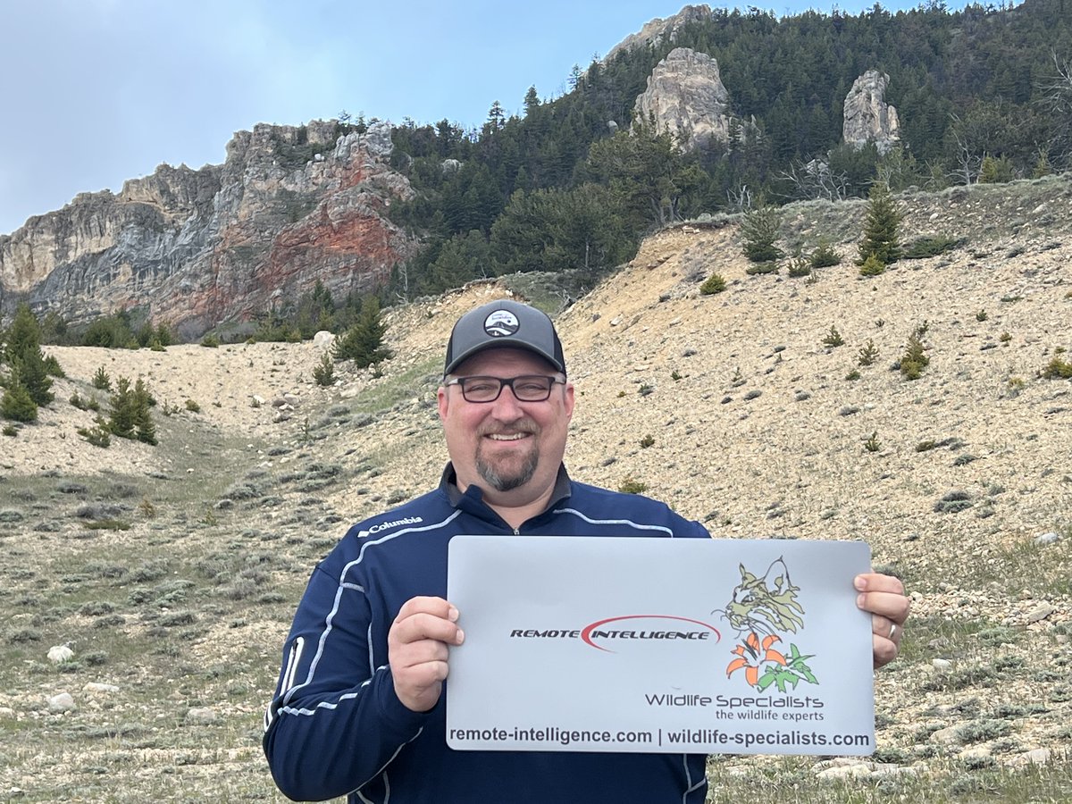
Meet Jesse, he's heading up our Billings, Montana location and making great headway in the northern Rockies and Plains with special focus on the Bakken region/Yellowstone. His background is in environmental management and is applying drones to that market @WildlifeSpecial $DPLS
1
2
32
20 May 2022
When all you can see of the latest imagery is clouds… it’s not very helpful! Updated, geo-specific, high resolution maps are an easy solution for better data to work from. FASTER. Safer. Better… DATA powered by @darkpulse
5
21
12 May 2022
Spring is a great time for creating base maps and 3D models of ski resorts and golf courses! Our team is out mapping and modeling a home town favorite, Ski Sawmill, this family friendly resort hosts events all year round! Our resort package will draw attention to any business!
1
3
15
20 Apr 2022
Moving water is a big deal in many different industries, surface lines like this one need to be inspected and drones just make sense. Using both visual and thermal cameras, drones can make quick work of checking lines for leaks in difficult areas. Safer, Faster, Better . $DPLS
1
3
44
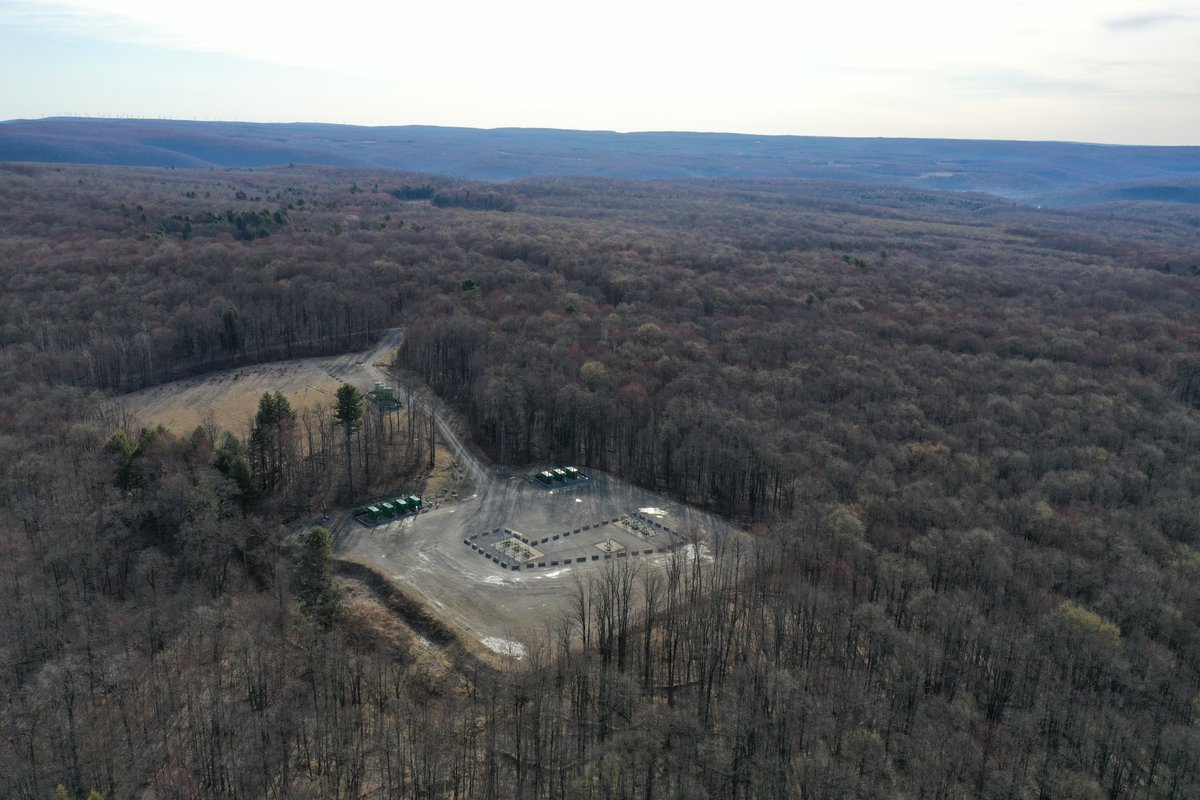
20 Apr 2022
We're out doing pre-work evaluations in North Central Pennsylvania today. This project plans to use Aerial Drones with Methane Detection on board to survey a variety of pad and pipelines in some pretty hard to access, remote areas. Faster, Safer, Better... Data powered by $DPLS
4
46
Remote Intelligence retweeted
12 Apr 2022
Around here it's all about the animals🦋🐍🐢🦇🦅🦌 but we also like plants 🌱🌿. Threatened and Endangers Species monitoring, Invasive species management, Wetlands and so much more... Please reach out if we can join you in making this planet a Safer. Better. Greener... World!
1
3
19
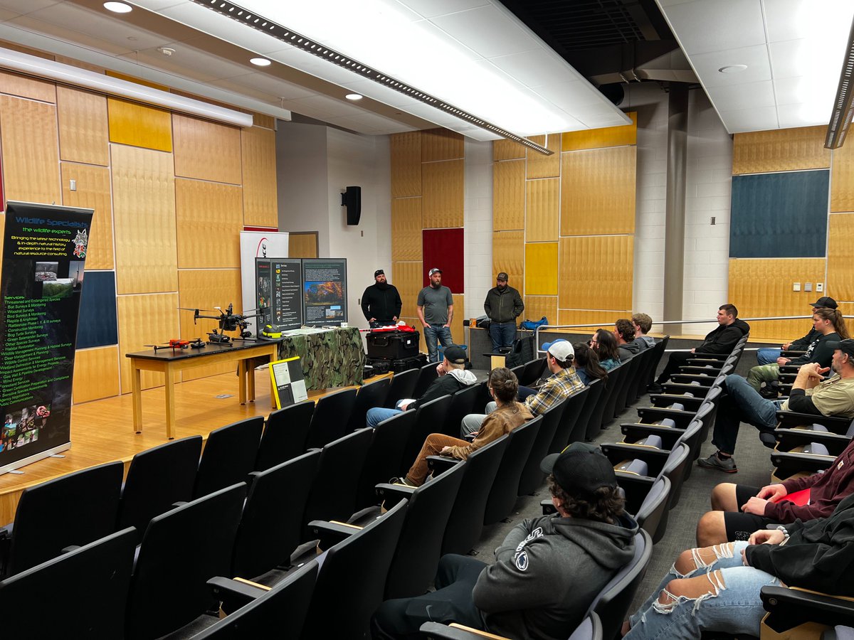
8 Apr 2022
Talking with college students about internship potentials this summer. Most came in during the season of Covid shutdowns and have never had any field experience... We love teaching/mentoring the next generation of workers... Presenting both @R_Intelligence and @WildlifeSpecial
3
28
8 Mar 2022
Project area flyovers are a great way to keep everyone in the know as big projects are managed and maintained.... pair that with real time video streaming to anywhere in the world and get everyone on the project on the same page in a matter of seconds...
3
29
8 Mar 2022
Information changes how we plan projects, track progress, and make informed decisions. By generating high resolution, geo-rectified maps and 3D models we can help you make better decisions and keep projects moving forward. Faster, safer, better... DATA
1
2
33