
Delivering data on Africa’s urbanisation, public goods, and governance to inform public decisions and drive progress. Non-profit initiative of @StearsData
Joined October 2014
- Tweets 892
- Following 114
- Followers 3,419
- Likes 368
439 Photos and videos


Pinned Tweet

24 Mar 2025
We are excited to announce the launch of the first-ever comprehensive map of private and public ferries in Lagos: The #LagosFerryMap by @StearsOpenData!🎉🎉
5
45
65
14,277
Stears Open Data retweeted

Feb 24
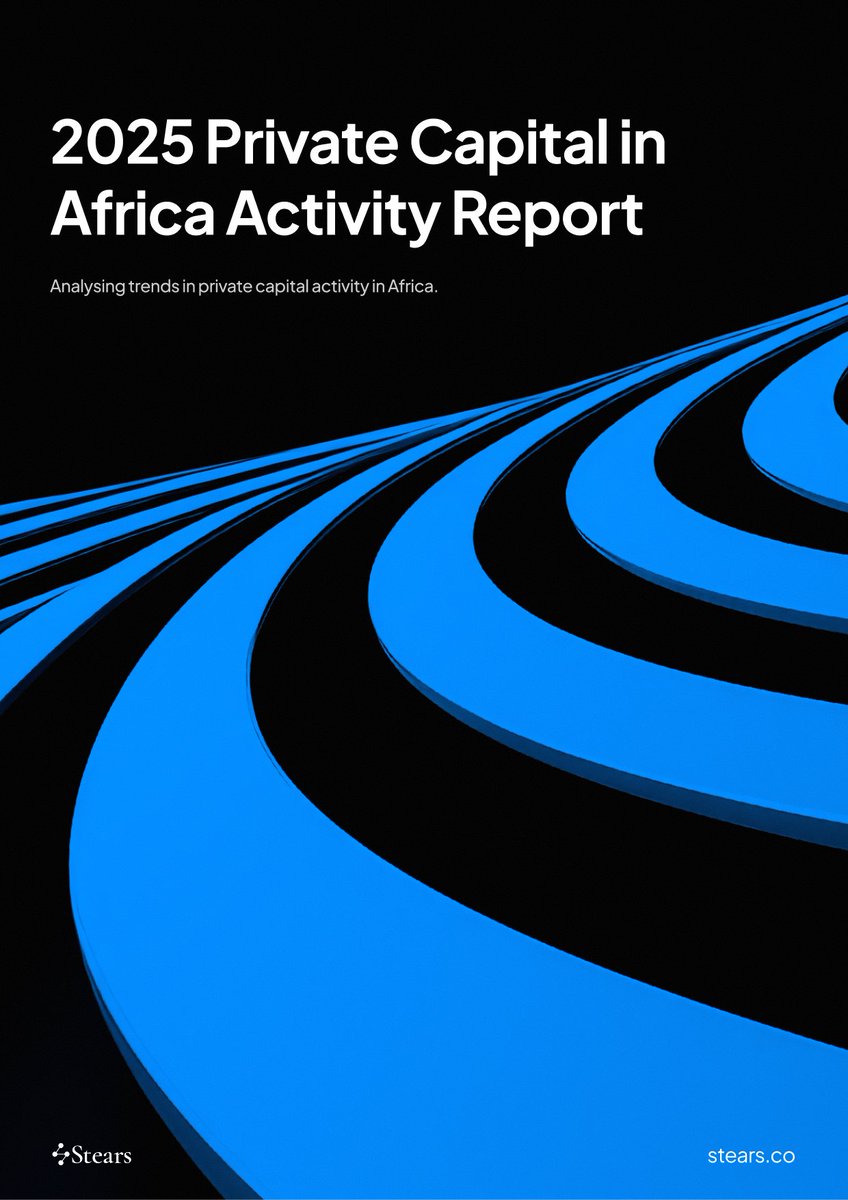
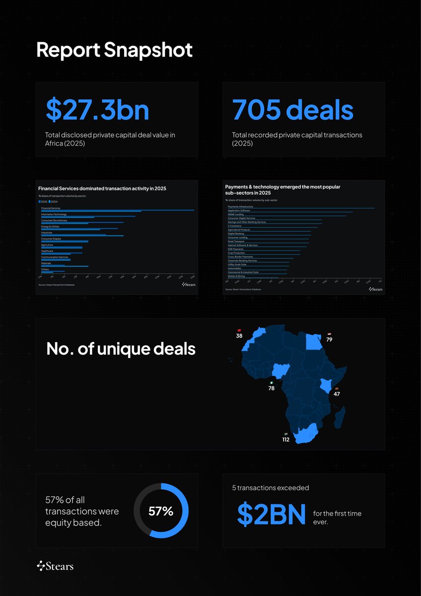
2025 was an interesting year for African PE: volumes softened, value held, and strategy evolved.
Our new Private Capital Activity Report breaks down where capital concentrated, how deal structures shifted, and what this signals for 2026.
Download the full report here to learn more ➡️ stears.co/info/2025-private-…
11
15
4,923
4 Aug 2025
By riding the ferry, you can skip past all that traffic ⚡️
4 Aug 2025

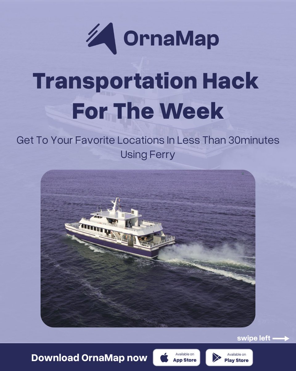
Hate getting stuck on Third Mainland traffic every Monday?
Skip the traffic and get to Ikorodu in under 30 minutes via ferry!
OrnaMap features 66 ferry routes, brought to you by @StearsOpenData
Move smart this week.
Check OrnaMap for more faster and cheaper routes.


2
6
781
Stears Open Data retweeted

4 Aug 2025
Hate getting stuck on Third Mainland traffic every Monday?
Skip the traffic and get to Ikorodu in under 30 minutes via ferry!
OrnaMap features 66 ferry routes, brought to you by @StearsOpenData
Move smart this week.
Check OrnaMap for more faster and cheaper routes.
2
4
1,223
Stears Open Data retweeted

30 Jun 2025
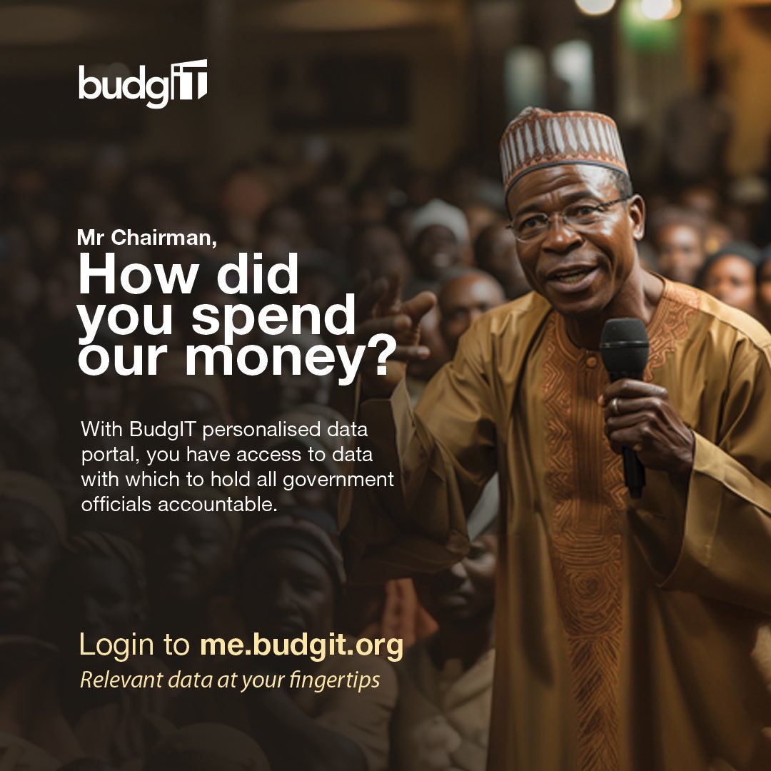
📢 Dear #ActiveCitizen,
It is Local Government election season!
Now is a good time to ask your Local Government Chairman how he spent your money.
➡️ Get started with me.budgit.org
#AskQuestions
1
11
19
1,622
23 May 2025
We are happy to share that our #LagosFerryMap data is now live on @openstreetmap!
Publishing on OpenStreetMap is an important milestone for making the information accessible to more people, solving a critical information gap about mobility and public transportation in Lagos.
1
1
4
250
23 May 2025
We partnered with the Humanitarian OpenStreetMap Team - West and North Africa Hub @hotosm @openmapping_wna. They matched us with experienced volunteers from the OpenStreetMap community in Nigeria who trained our team to process and upload the ferry data. hotosm.org/projects/improvin…
1
1
2
195
23 May 2025
3
135
19 May 2025
"As Lagos residents struggle with some of the world’s worst traffic congestion, an overlooked alternative is finally coming into clearer focus: water transport."
"A new map visualises ferry routes in metropolitan Lagos" - @IkejaRecord
ikejarecord.com/a-new-map-vi…
6
10
876
16 May 2025
Have you explored the first-ever comprehensive map of private and public ferries in Lagos? With #lagostraffic worsening and commute times stretching longer, #watertransportation can be a more efficient time-saving alternative.
Visit link.stears.co/ferries to begin.
3
5
646
12 May 2025
Taking the ferry > sitting in traffic.
Check out the map now: link.stears.co/ferries
12 May 2025

Tired of Lagos traffic? Try the water routes! Cut your commute with the first-ever map of public and private ferry routes across Lagos.
#lagosferrymap #lagosferryservice #lagosferry #ikejarecord
1
6
13
863
Stears Open Data retweeted

12 May 2025
Tired of Lagos traffic? Try the water routes! Cut your commute with the first-ever map of public and private ferry routes across Lagos.
#lagosferrymap #lagosferryservice #lagosferry #ikejarecord
1
6
8
1,427
12 May 2025
Will President Paul Biya continue his reign as the oldest sitting head of state? Cameroon's presidential election is coming up in October 2025.
#Cameroon2025 #PaulBiya #Cameroon
1
2
5
405
9 May 2025
Knowing which population to use and trust (or not) is critical for many projects. We look forward to illuminating this important issue. #AfricasFuture #PopulationGrowth
1
3
116
7 May 2025
We are happy to share that our #LagosFerryMap data will soon be live on @openstreetmap!
Thanks to a partnership with @openmapping_wna @hotosm, experienced volunteers from the OSM community in Nigeria trained our team to process and upload the ferry data.
1
10
16
697
7 May 2025
Publishing our data on OpenStreetMap is an important milestone in making the information accessible to more people, solving a critical data gap about mobility and public transportation in Lagos.
1
4
9
154
7 May 2025
1
8
117
30 Apr 2025
Africa’s total urban footprint is projected to expand from 175,000 to 450,000 km² in 2050. This rapid growth is an opportunity to rethink urban planning, infrastructure investment, and land use policies to ensure sustainable and equitable development across the continent.
2
3
156
28 Apr 2025
These are the most populated countries in #Africa, home to a significant share of the continent’s human capital. With growing cities, dynamic markets, and youthful populations, they continue to impact the continent significantly.
2
6
422
25 Apr 2025
These cities are set to become Africa’s top 10 largest urban agglomerations by 2050, shaping the continent’s economy and future. As populations rise, so will the need for smarter planning, inclusive policies, and sustainable infrastructure.
Is your city on the list?
1
2
130
25 Apr 2025
If you’re looking to avoid the Lagos traffic, our #LagosFerryMap will show you everything you need to navigate the Lagos waterways. Watch this👇🏽
1
4
9
330
25 Apr 2025
Have you tried the Lagos Ferry Map yet? Just search for the ‘Lagos Ferry Map’ on Google or visit link.stears.co/ferries to begin.
3
62