
✈️ Former flight attendant turned Pilot known for sports memes who needed a separate account to get his aviation fix. Follow the sports here: @tylerherrick
Joined February 2026
- Tweets 79
- Following 45
- Followers 73
- Likes 85
26 Photos and videos


IROPS 0
if you’re going to DFW anytime soon, no you’re not.

🛑 Ground Stop at Dallas/Forth Worth International Airport (DFW) due to WEATHER / THUNDERSTORMS. Flights halted.
#DFW #FAA #AirportDelays
[2026-06-02 23:06 UTC]
150
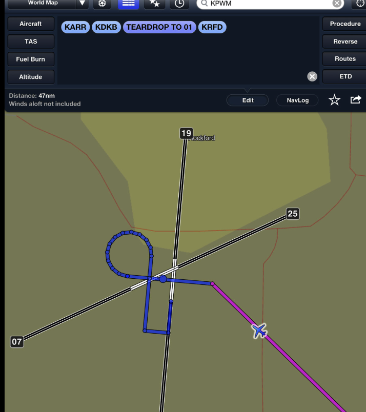
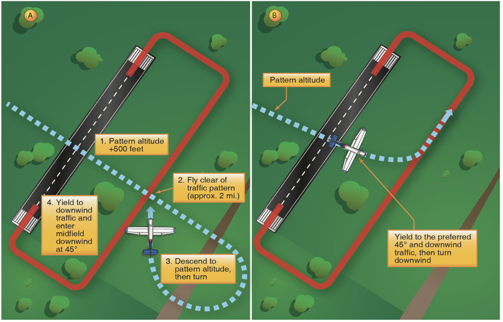
Popular aviation Youtuber Juan Browne [@BlancolirioYT] took some heat on a Facebook group today for pointing out that the widely used 'teardrop' pattern entry method is misunderstood by many making it unsafe.
His main arguments include:
- Recycled PHAK images missing the 'not to scale' warning in the actual publication
- CFI's not teaching or pilots not using a required 2 mile fly out before joining the downwind
Watch his full video here: youtube.com/watch?v=rD4mqkMs…
What do you think?
1
1
70
He also brought up that the term 'teardrop' is just a widely accepted colloquial term - not an actual FAA approved VFR non-towered pattern entry term.
Probably doesn't help that ForeFlight calls it this, nor do they paint a two mile fly out like the PHAK and AC No: 90-66C suggest...
1
1
49
The 2 mile extension was definitely not emphasized during my primary training but I tend to agree with Mr. Browne (and others) on this.
I'll definitely be mindful of this as a CFI and encourage others to do the same. We should be always learning and looking for ways to make aviation safer.
1
41

May 29
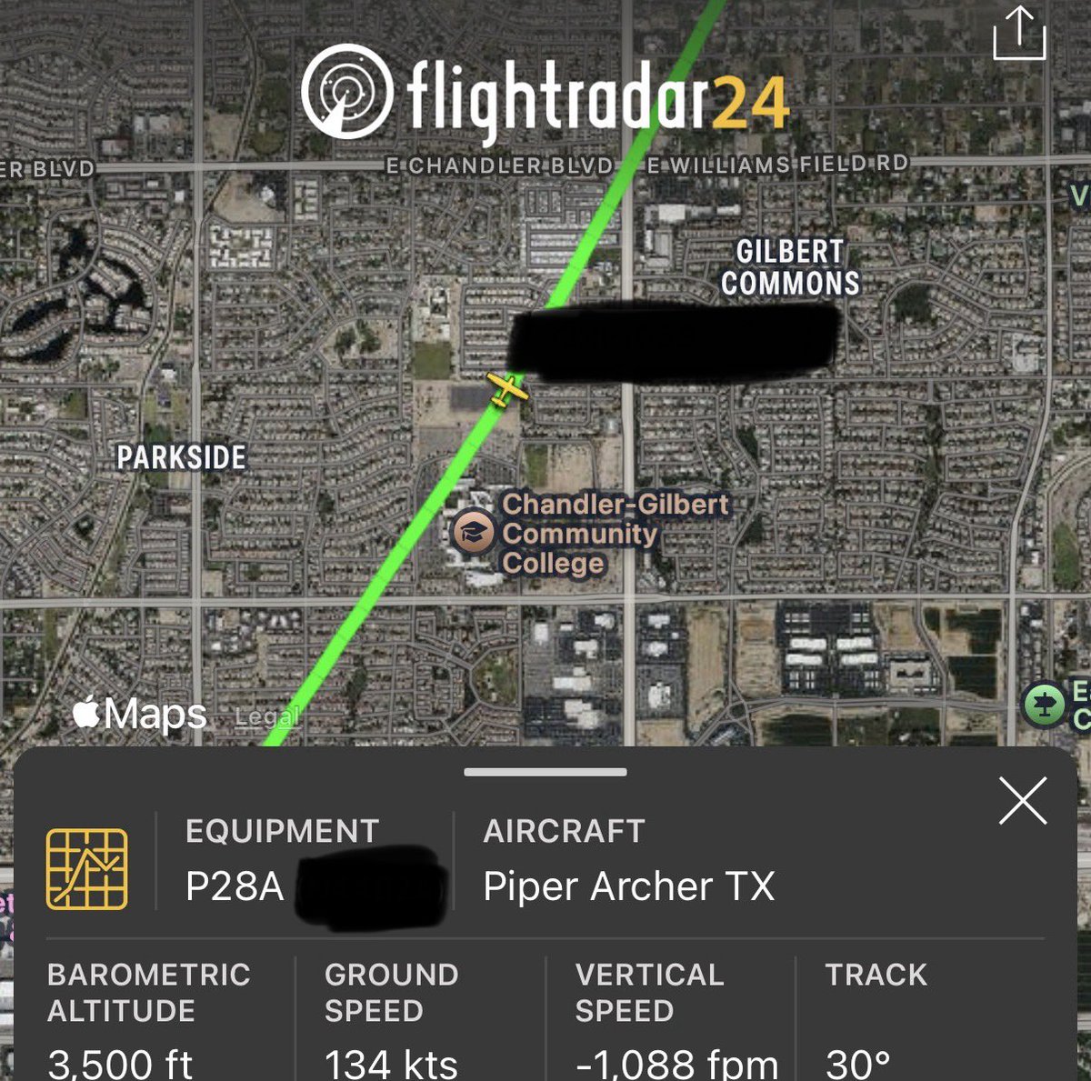
How it felt to be at 95 indicated going 135 across the ground in an archer
1
70
May 21
Passed my commercial-multi engine checkride today.
CFI next.
One step closer to becoming @nathanfielder #WakeMeUp
1
11
174
Tyler In Flight retweeted

May 15
Before dawn over Armenia, the sky starts to look almost alive.
This timelapse was captured westbound as we crossed one of the busiest, and most geopolitically sensitive pieces of airspace on Earth. To the south lies Iran. To the north, Russia. Between them, a narrow corridor through the Caucasus carrying hundreds of aircraft linking Europe, the Gulf, and Asia.
Every light you see here is another aircraft, another crew, another story moving through the night.
What makes it remarkable is the precision. At closing speeds approaching 1,000 mph, aircraft pass each other separated not by miles, but by carefully managed vertical layers of airspace. Invisible highways in the sky, built on GPS accuracy, disciplined procedures, satellite surveillance, and trust.
And yet these routes are never static.
Politics shapes them. Conflict bends them. Closed airspace redraws them almost overnight. What was once a straightforward great-circle route can quickly become a carefully threaded path between terrain, and diplomacy.
From the cockpit, though, there’s a strange beauty to it all.
Tiny lights crossing ancient landscapes.
Modern aircraft moving through corridors shaped by geography and history alike.
Controlled. Precise. Fleeting.
A reminder that aviation is never just about the aircraft. It’s about learning how to move safely through an increasingly complicated world.
24
29
447
43,290
Tyler In Flight retweeted

May 15
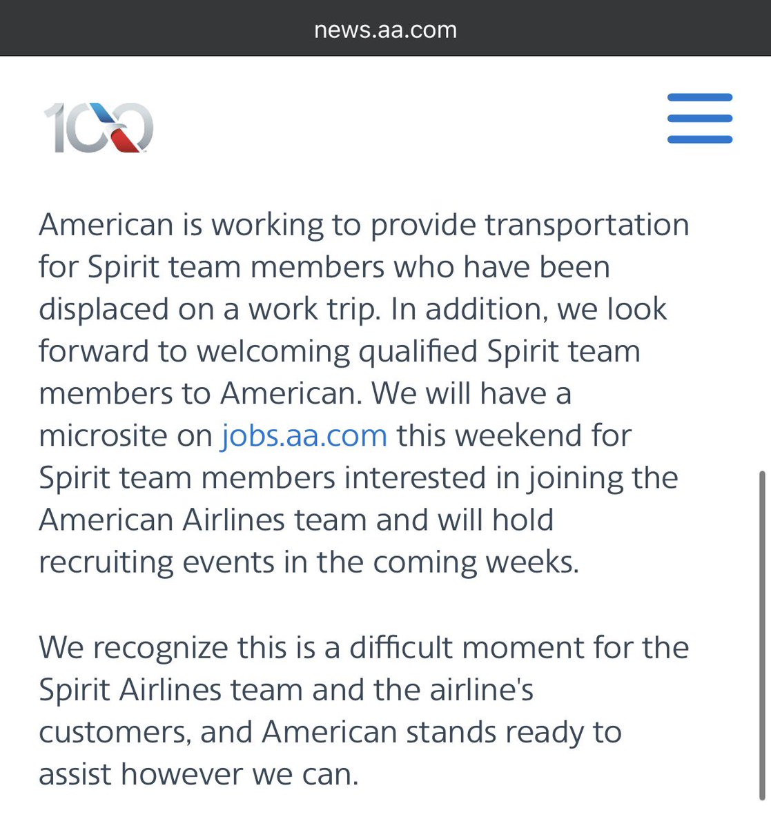
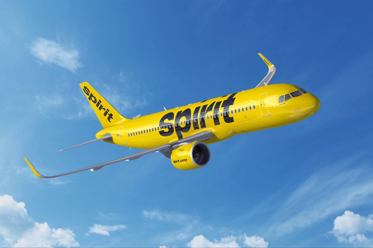
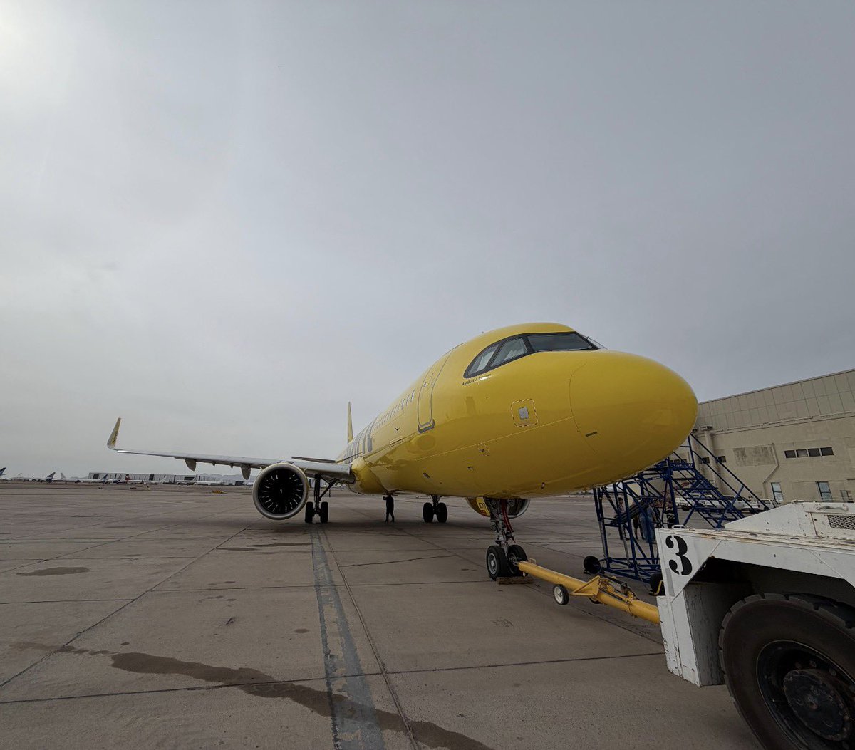
🚨BIG YELLOW: Inside the Spirit Airlines Repos drops tomorrow on YouTube! Get ready for a chaotic, fast-paced, yet sentimental ride through the last 2 weeks at Nomadic. The video captures ALL the moments - and in the end - pays tribute to the O.G. Ultra Low Cost Carrier!
15
80
1,069
52,304
May 12
NOOOOOOOOOOOOOOOO
May 12

For those who have spent years traveling in and out of @DFWAirport like me, you know just how special this store was. End of an era. airlinegeeks.com/2026/05/12/…
95
I don’t understand how the Spirit 2.0 crowd is going raise anywhere near enough capital, validate pledges or obtain a part 121 operating certificate.
242
The non-unionized Delta FA's after asking the 40th Diamond Member if they would like a pre-departure beverage (boarding ended 10 minutes ago)
May 8

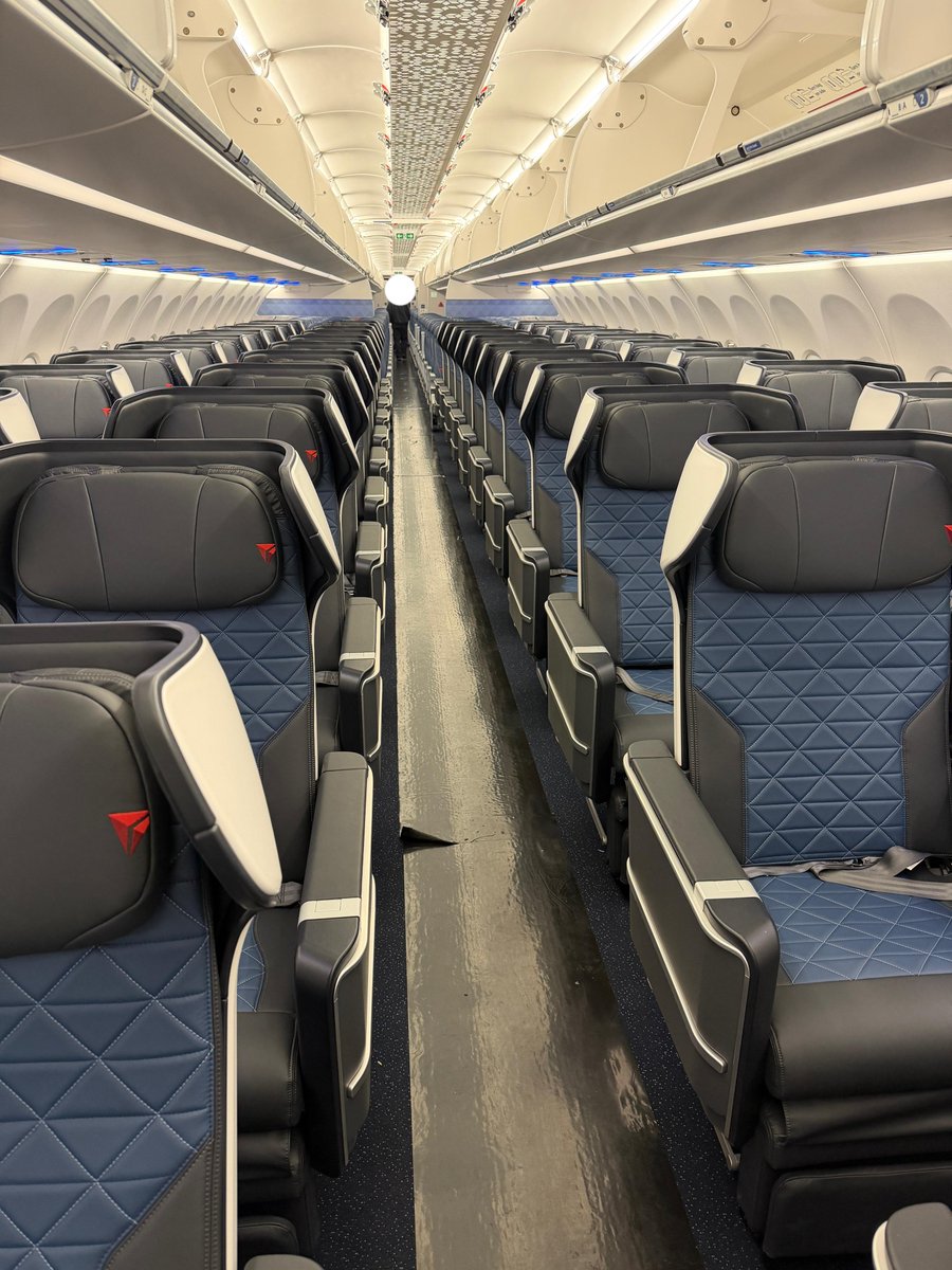
The new Delta A321neo featuring 44(!) first-class seats.
Soon flying on:
ATL-LAX
ATL-SFO
ATL-SAN
ATL-SEA
1
5
726
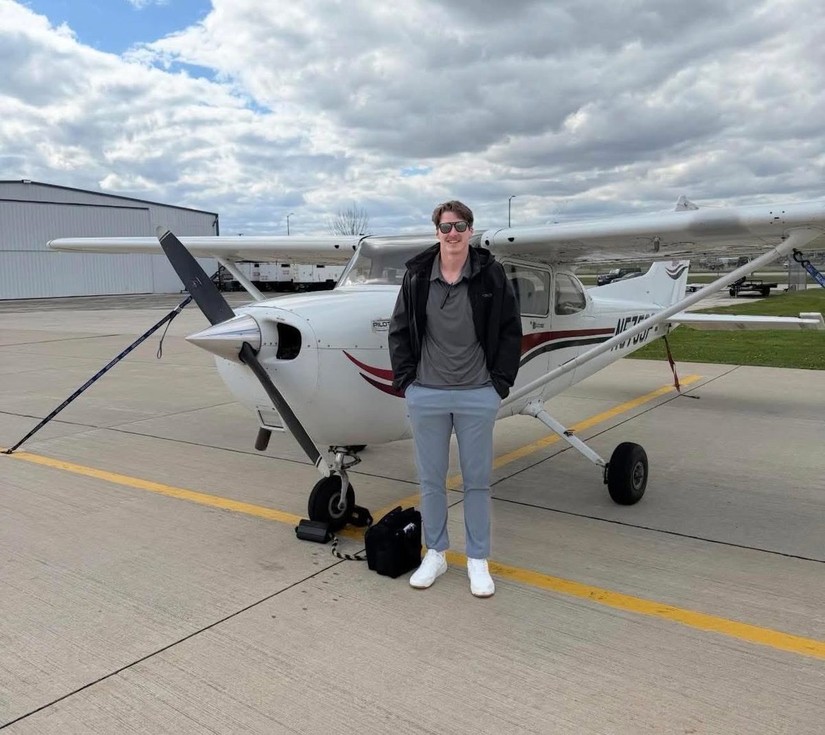
I had my Multi today and Luke had his single. #MeantToBeBros
May 7

Luke Musgrave is now a certified pilot…
Congrats @Luke_Musgrave19
📸: lukemusgrave_ / Instagram
#Packers #GoPackGo
1
324
Death, Taxes and DIA trains not working


150
Tyler In Flight retweeted

May 6
You didn’t just witness a landing—you heard it roar in. This Boeing 737 MAX 8 hit SAN with a powerful audible wake and visible wingtip vortices trailing behind for Alaska Airlines during Airline Videos Live on May 5th, 2026.
47
376
5,551
1,547,148
Unlike Spirit, Frontier was quick to adapt.
Bundling their fares like the legacies and changing their network model to increase aircraft utilization recover from IROPS better quite literally saved them.

Frontier Airlines CEO Jimmy Dempsey says the carrier is best positioned in the US to take advantage of Spirit's closure.
Frontier has already added 9 new route this summer in former Spirit markets, including from Dallas-Fort Worth, Detroit, Las Vegas and Orlando. $ULCC
234
Tyler In Flight retweeted

May 5
Not only has JetBlue not warned this, its current leadership has said the exact opposite.
Doesn’t mean it won’t happen eventually, but cmon…

JETBLUE WARNS IT IS A FEW WEEKS AWAY FROM BANKRUPTCY CITING SKYROCKETING JET FUEL COSTS
Community note
The bankruptcy warning is from JetBlue founder David Neeleman (now at competitor Breeze Airways), not JetBlue itself. He cited potential 2026 risks from fuel costs/debt, not weeks away. CEO Geraghty's memo says bankruptcy not considered; $2.4B liquidity.
paddleyourownkanoo.com/2026/04/22/jet… liveandletsfly.com/jetblue-ceo-ba… jetsetterguide.com/news/airline/j…
4
18
181
36,736
This is about to be the ultimate hand on shoulder meme
May 5

🚨 A viral online effort to buy Spirit Airlines as a crowdfunded company is getting more serious.
The “future CEO” Hunter Petersen provided an update — they are now up to $132 million in pledges and working with a top-tier law firm to put forth a legitimate offer next week.
1
126
Tyler In Flight retweeted
May 5
It’s been a crazy 72 hours. We’re currently representing 4 possibly 5 of the ~ dozen lessors that own #Spirit metal.
Since being activated on Friday at 6PM, we’ve deployed 20 pilots to 5 cities. It’s VERY complicated.
Just gaining access is a battle fought on zoom calls and WhatsApp channels.

94
176
3,484
400,648
Tyler In Flight retweeted

May 4
My worlds colliding. (This is a terrible idea btw!)
May 4

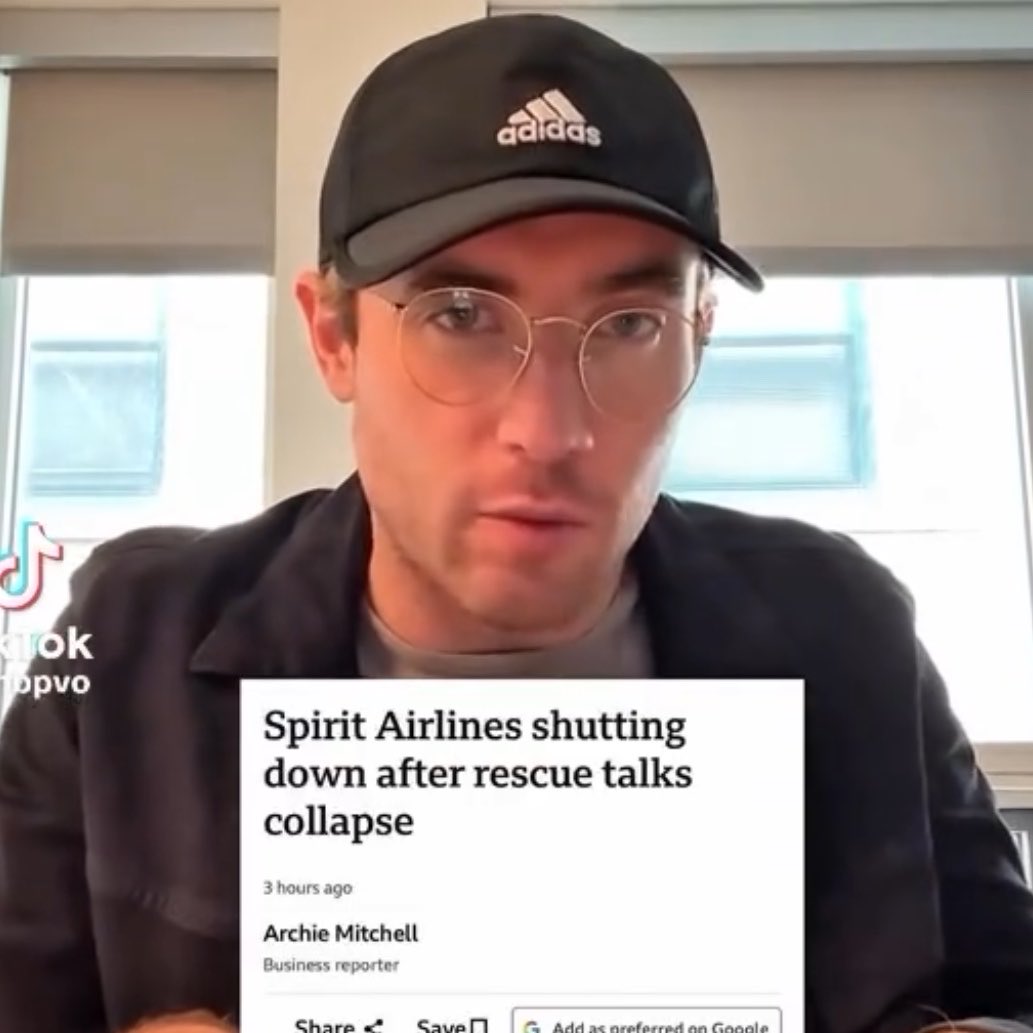
✈️ This TikToker named Hunter Peterson is trying to turn (the former) Spirit Airlines into a Community owned Airline after it shut down a few days ago…
🧀 His inspiration? Your Green Bay Packers.
😭 The effort already has 132M pledged


2
1
97
14,710