USWFS streamlines wildfire response, prevention, and recovery across 500 million acres of public lands administered by @Interior and tribal lands.
- Tweets 115
- Following 98
- Followers 3,348
- Likes 80


ALT Group of hotshots posing with an American flag in front of a massive sequoia tree in a forest.

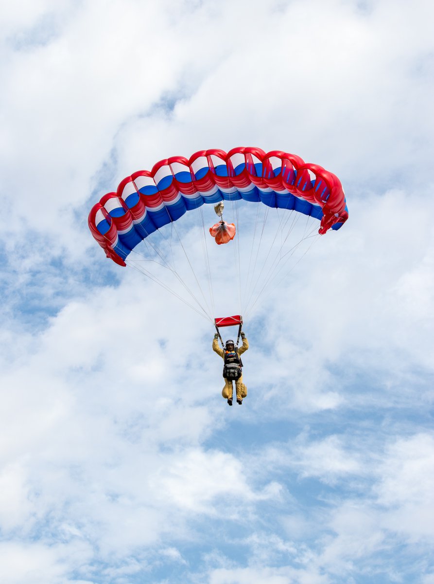
ALT Smokejumper descending with a red, white, and blue parachute against a partly cloudy sky.
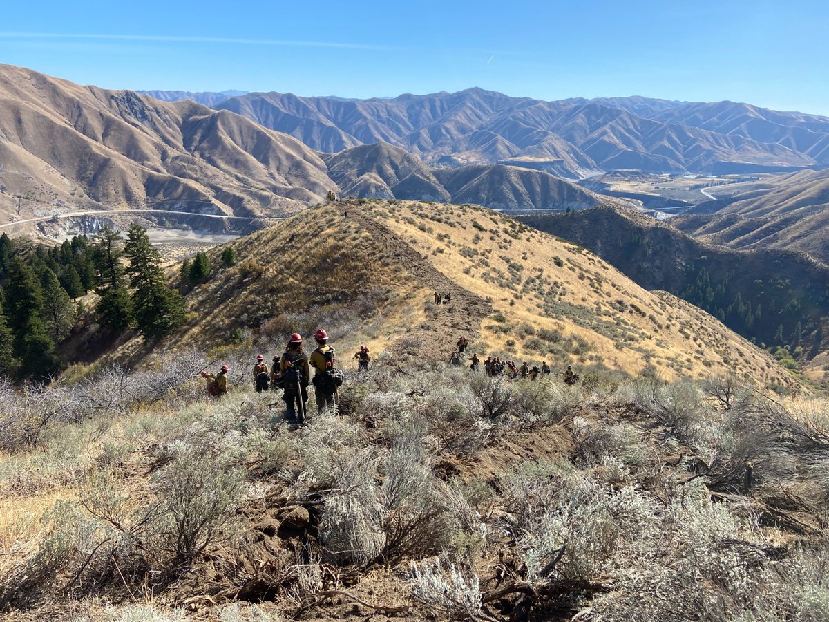
ALT Group of wildland firefighters trekking along a dry, shrub-covered ridge with expansive mountain ranges in the background under a clear blue sky.
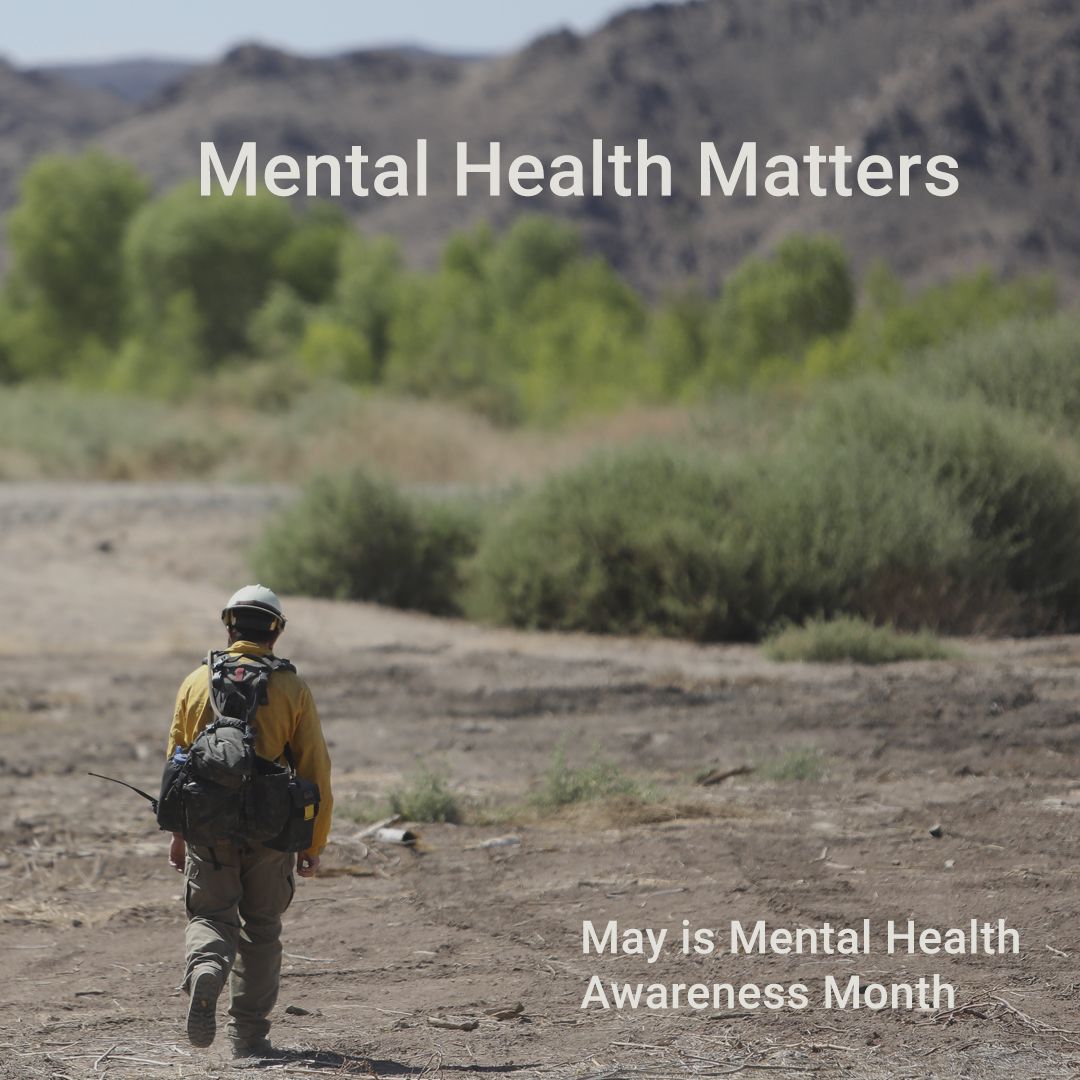
ALT Person in yellow jacket and red cap standing in a dry, open landscape with sparse vegetation under a clear blue sky.
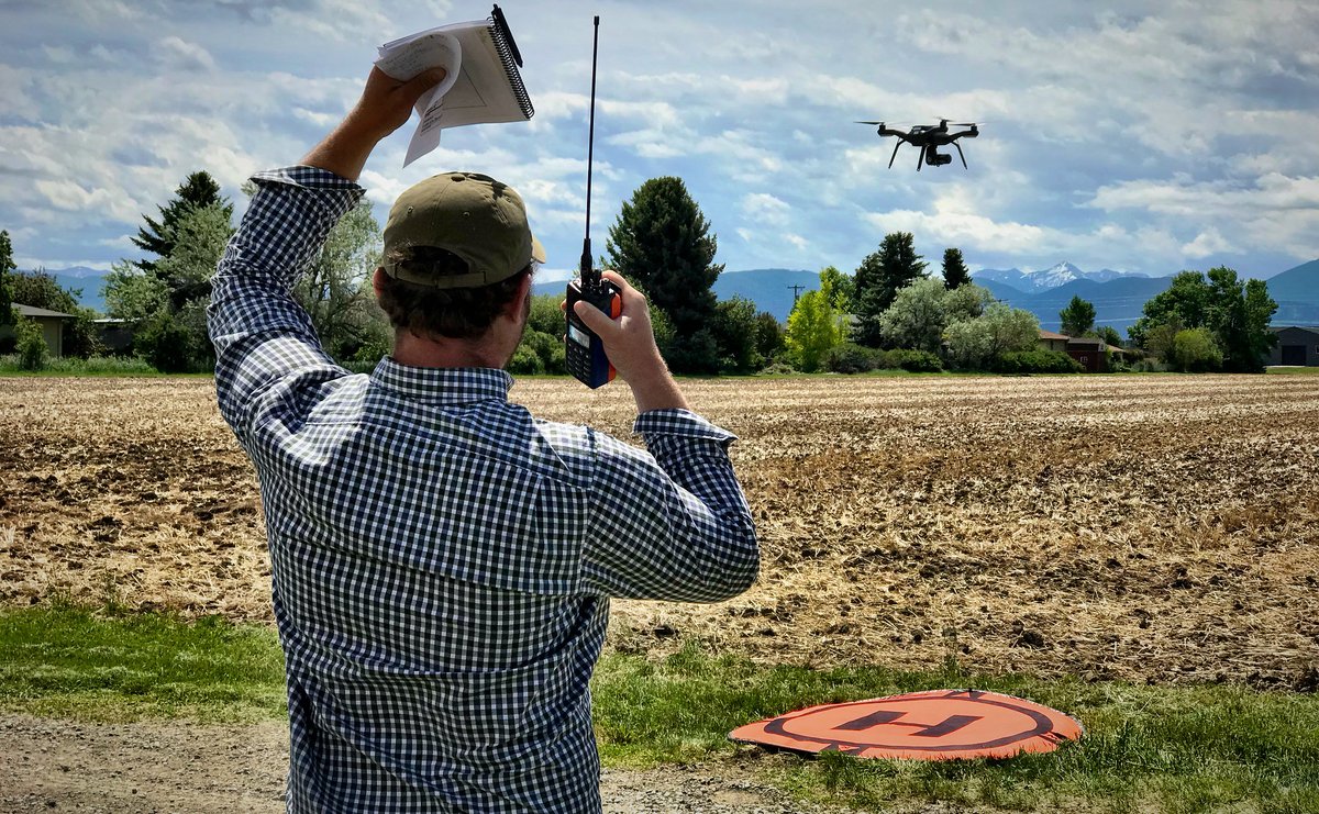
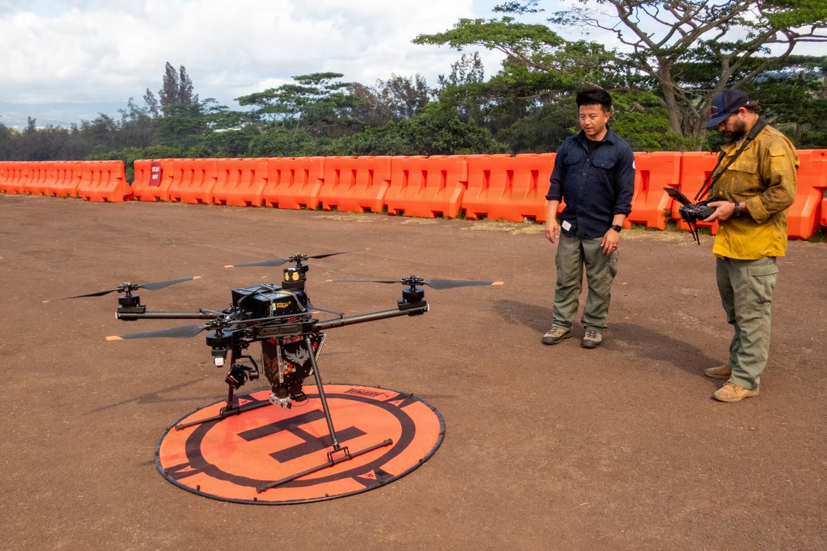
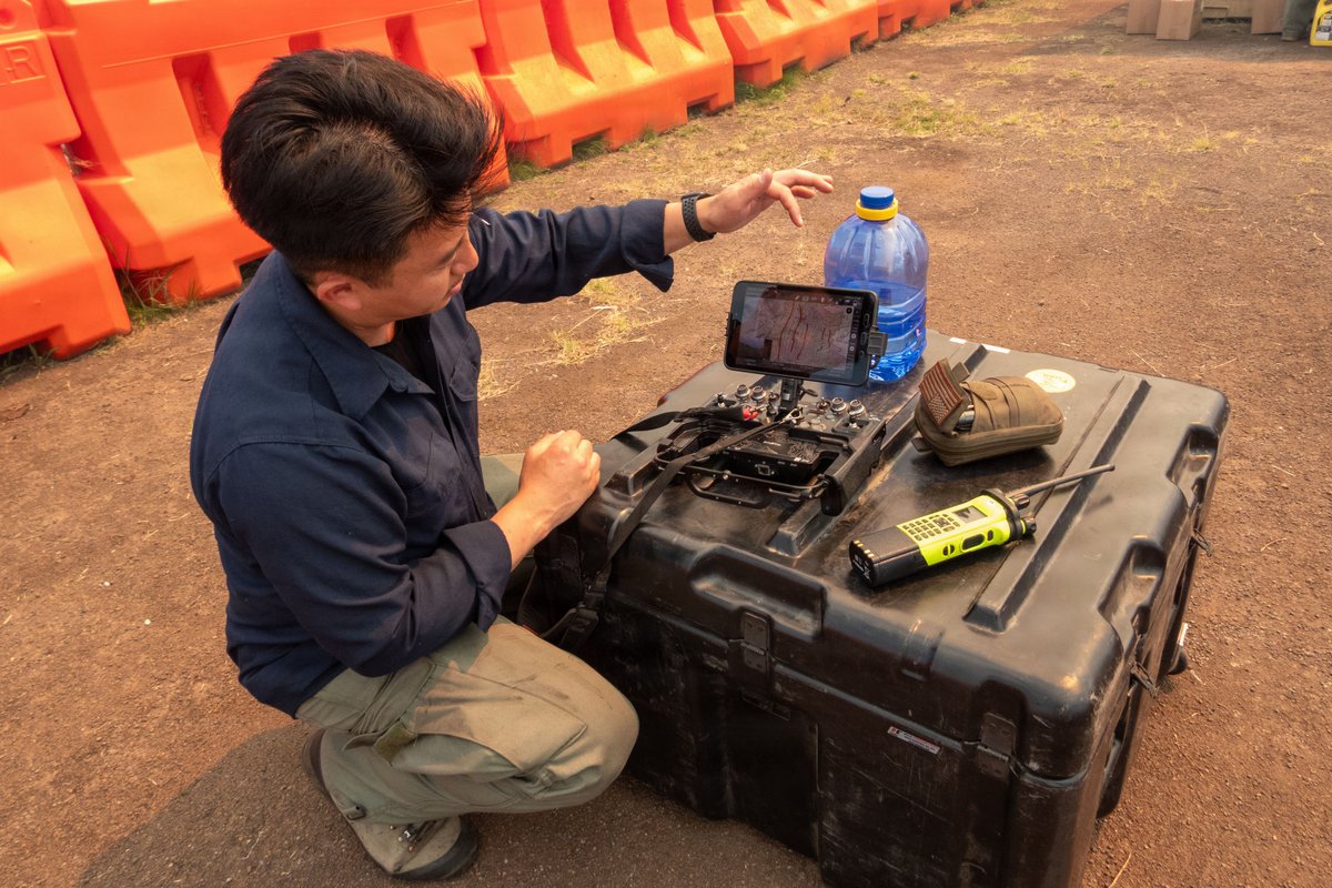
ALT Man in checkered shirt operating a drone with a remote control near a field and a drone landing pad on the ground.

ALT Memorial monument dedicated to Beau W. Sauselein and Scott J. Maness of the U.S. Fish & Wildlife Service, featuring a plaque and crossed pulaskis on a paved platform.


ALT Wildfires can escalate quickly. Wildfire growth can be terrifyingly sudden and deadly. Prepare ahead of time so you'll be ready. Clear brush away from your home to create defensible space. Use fire-resistant landscaping. Know your potential evacuation routes. Have an emergency supply kit ready to go.
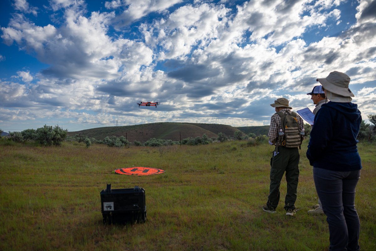
ALT Three people operating a drone flying over a grassy field under a partly cloudy sky.

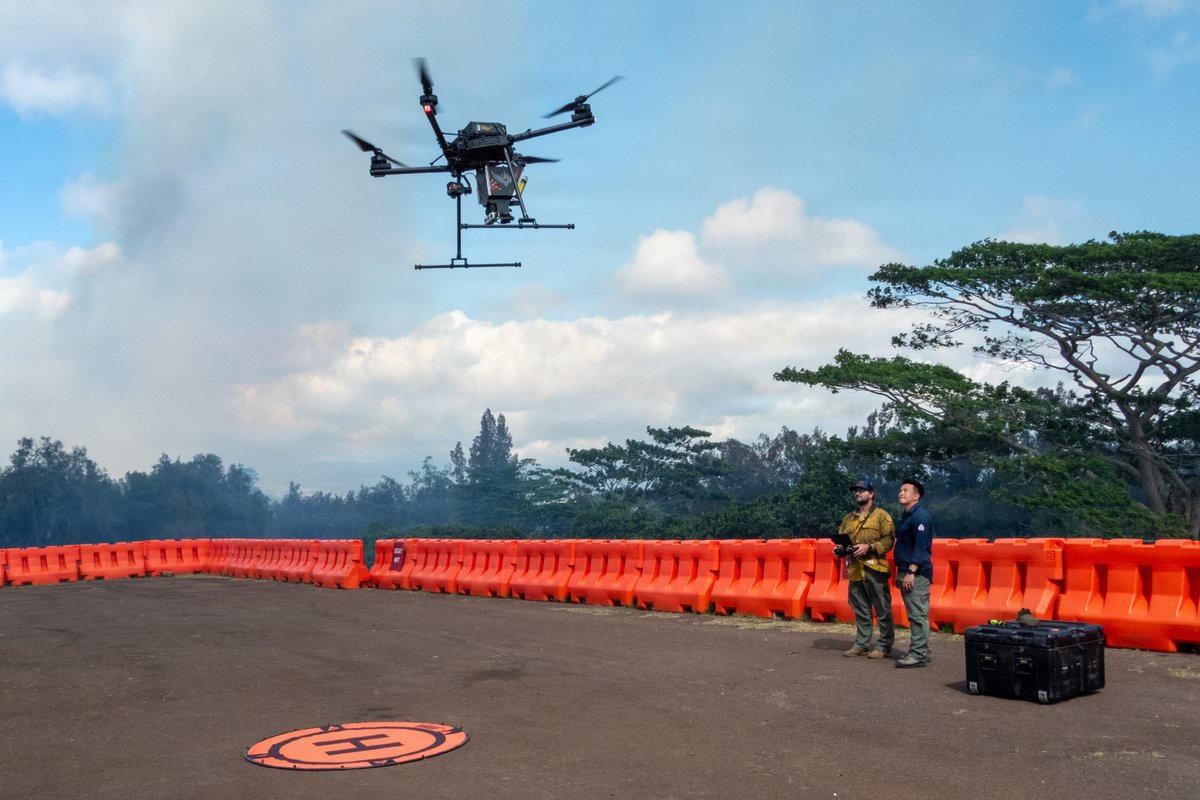
ALT Two men stand in a dry, grassy field operating a large professional drone on an orange landing pad under a partly cloudy sky.
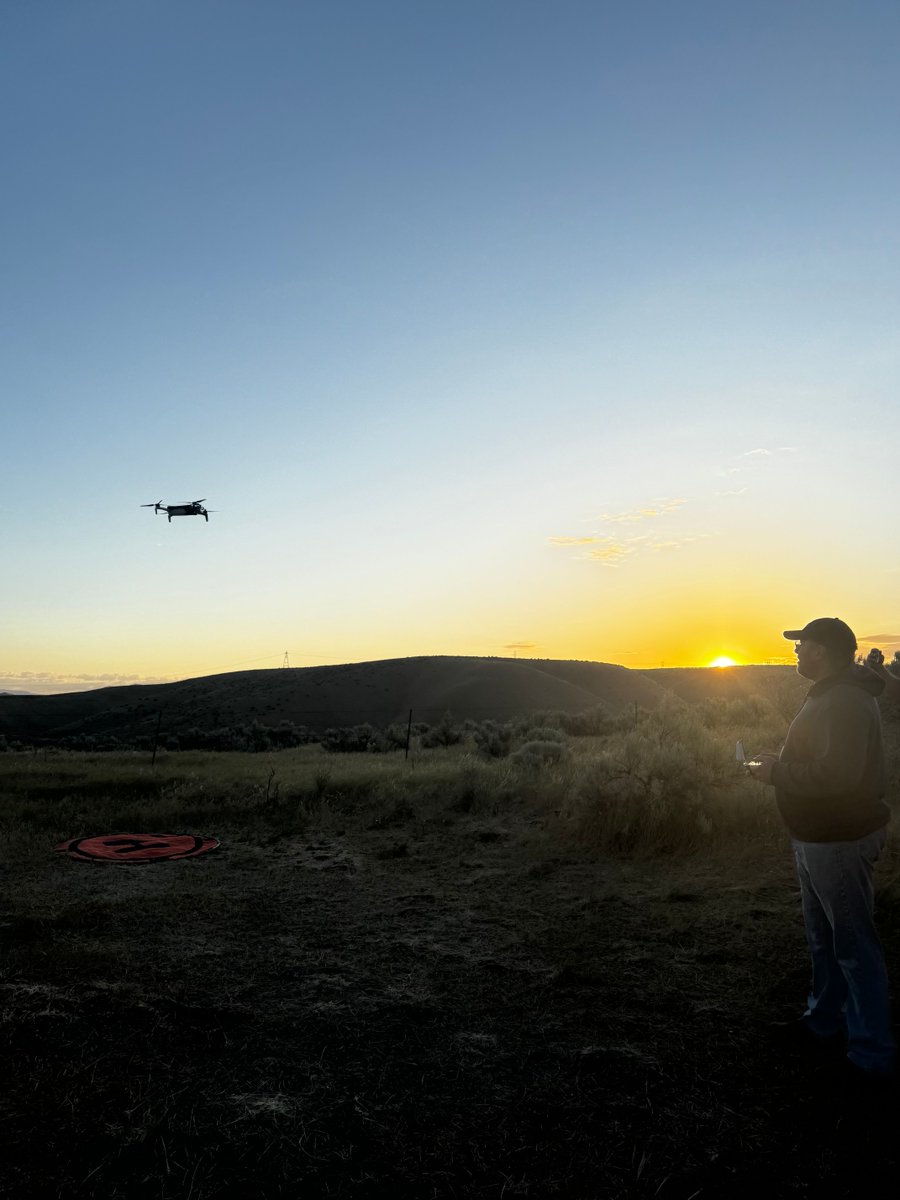
ALT Person operating a drone flying over a grassy field at sunset with hills in the background.

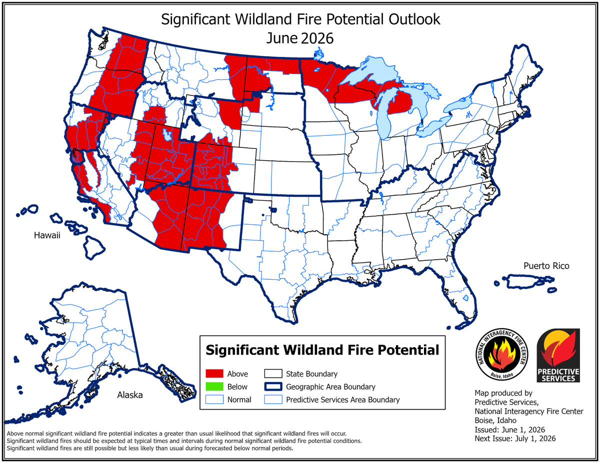
ALT Map of the United States showing areas in red depicting those areas as above normal for significant wildland fire potential. This map is for June 2026.
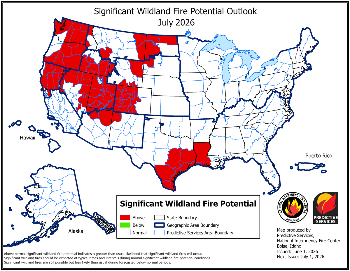
ALT Map of the United States showing areas in red depicting those areas as above normal for significant wildland fire potential. This map is for July 2026.
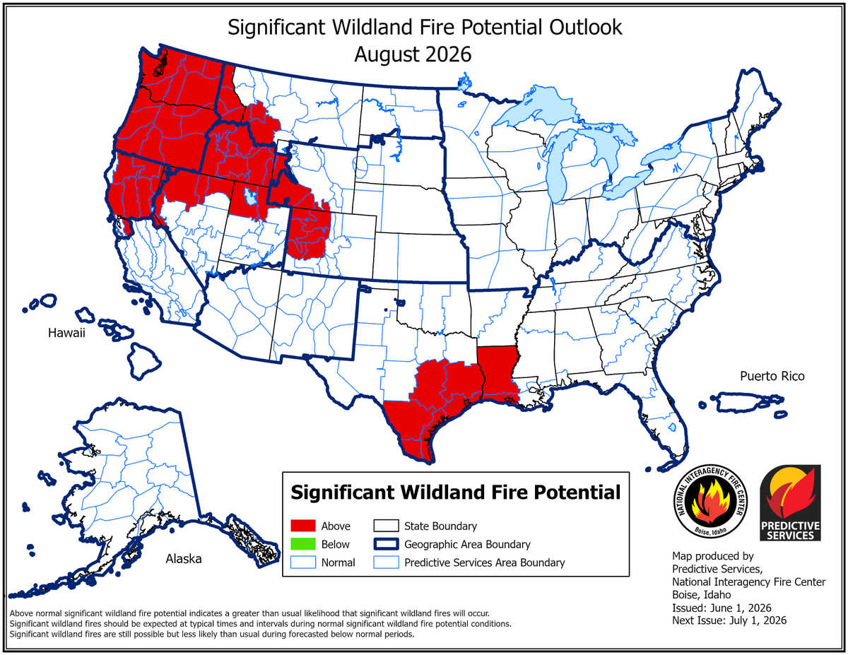
ALT Map of the United States showing areas in red depicting those areas as above normal for significant wildland fire potential. This map is for August 2026.
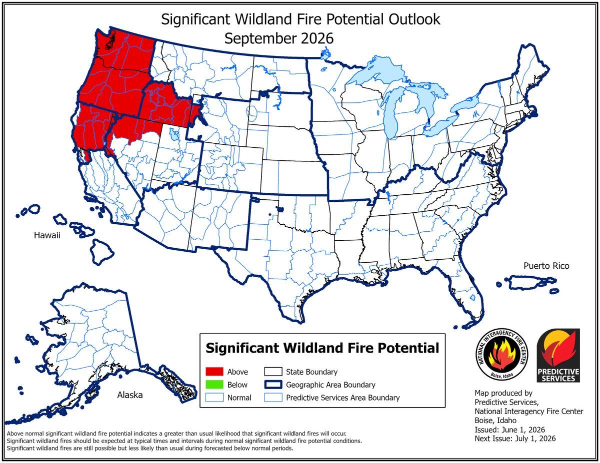
ALT Map of the United States showing areas in red depicting those areas as above normal for significant wildland fire potential. This map is for September 2026.
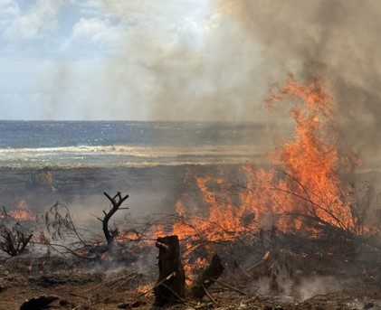
ALT Flames and smoke rising from a prescribed burn that is burning dry vegetation near a body of water under a cloudy sky.
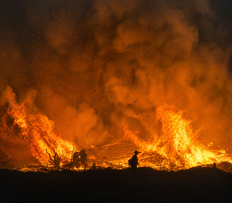
ALT A firefighter silhouetted against towering flames and thick smoke during a large prescribed burn at night.

ALT Five wildland firefighters in yellow protective gear stand on scorched ground with smoke and palm trees in the background during a prescribed burn.
ALT A group of firefighters in yellow gear hiking up a grassy hillside under a partly cloudy blue sky.
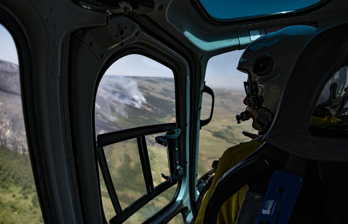
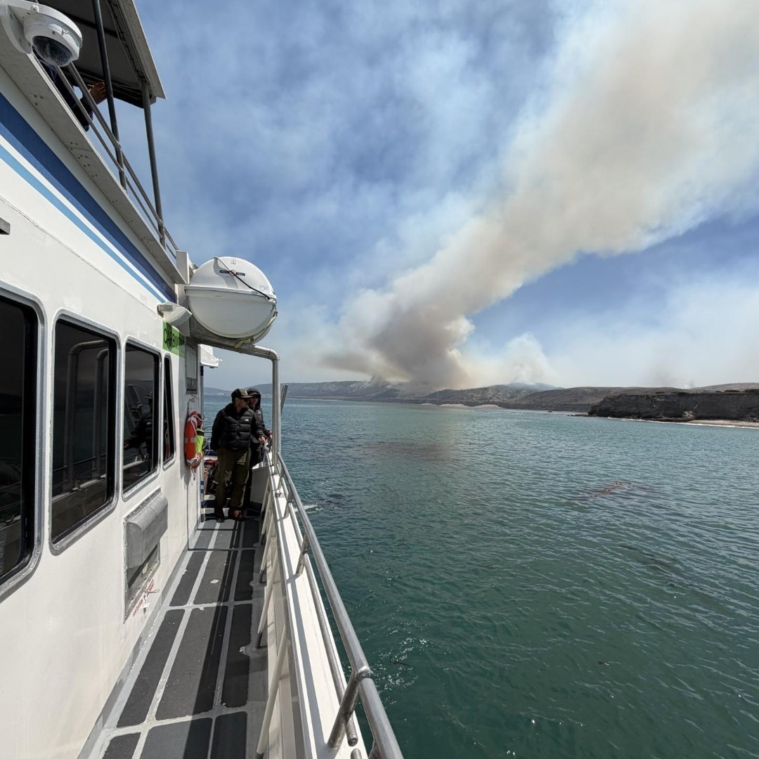
ALT View from inside a helicopter cockpit showing a pilot wearing a helmet flying over a landscape with smoke rising from a distant wildfire.
ALT Wildland firefighter in a smoky outdoor landscape.


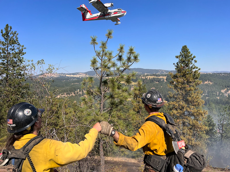
ALT Two firefighters in yellow gear fist bump in a forest clearing as a firefighting plane flies overhead against a clear blue sky.


ALT A glowing campfire beside a tent in a forest clearing at dusk with tall pine trees and a lake in the background.