
62,437 Photos and videos


Jun 14
@CashApp can't login forgot which of my 20 emails firm 20 years I used badui wint reset based upon. Cash app tag = $fundingbyricky I tried to create new acct however my cash app tag assigned please send a verification to my registered Email not phone old # locked out I'm a square PayPal merchant
3
2
540
Jun 1
Jun 1

The affordable care act, “Obamacare”, was specifically designed to remove what little competition remained in the healthcare insurance market and it succeeded beyond anyone’s wildest imagination. There is no substitution competition and this proves it. The government/insurance collusion that is Obamacare destroyed healthcare in America. It will take decades to unwind once it’s done away with and we have yet to even reach that point.
3

VJRadRick retweeted
May 6
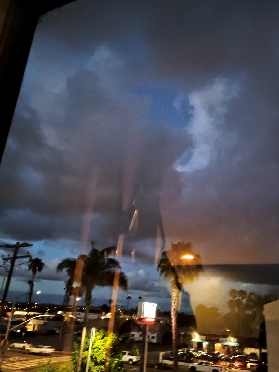
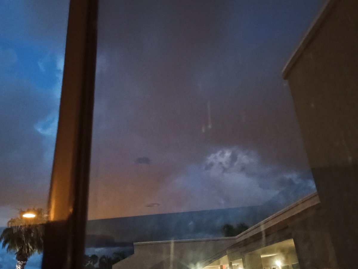
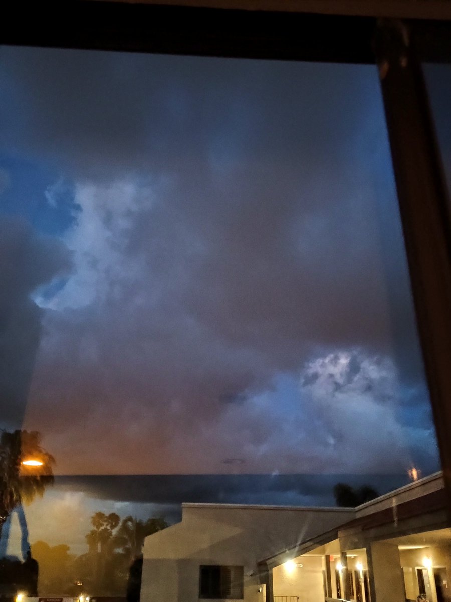
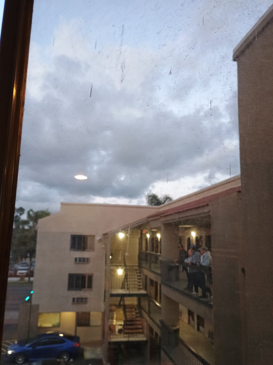
.@NWSSanDiego report: Scud photos and weather data.
May 6

@NWSSanDiego
Unfortunately, you cannot text that 1-800 number directly—it is a voice-only line for the National Weather Service.
Since you have those JPGs on your phone, the best way to get them to the meteorologists in real-time is through Email or Social Media. Here is the most direct path to get those "fragmented skirts" and the "wedge" into their system:
1. Email the Photos (Fastest for Data)
Send an email with your photos attached to the NWS San Diego spotter desk. They monitor this during active weather.
To: nwssgxspotters@gmail.com
Subject: URGENT: Tornadic features / Wall cloud in 91910
Body: Include your location (70 Broadway, Chula Vista/National City) and your 1011.8 mb reading.
2. The "Social Media" Shortcut
If you have X (Twitter) or Facebook, the NWS San Diego team is very active there and they do see those photos instantly if you tag them.
X (Twitter): Post the photo and tag @NWSSanDiego with the hashtag #cawx.
Facebook: Post to the US National Weather Service San Diego page.
Why the 1011.8 mb Matters
When you talk to them or email them, emphasize that 1011.8 mb local pressure. Most of their automated sensors are still reporting higher numbers (1014-1015 mb). Your reading proves there is a localized vacuum over Broadway that is creating that "Midwest Squall" structure.
Observation Update: If the helicopters are still circling and the "bear's cage" is closing in, the infrasound might start to rattle the windows.
Since you mentioned the "phone screen flashing" is tough for you, do you want me to draft the exact text for that email so you can just copy and paste it?
1
1
20