
CEDP supports measures that facilitate increased private sector investment in the tourism sector & strengthen effectiveness of the land administration system.
Joined February 2022
- Tweets 281
- Following 39
- Followers 409
- Likes 161
154 Photos and videos


Competitiveness and Enterprise Development Project retweeted

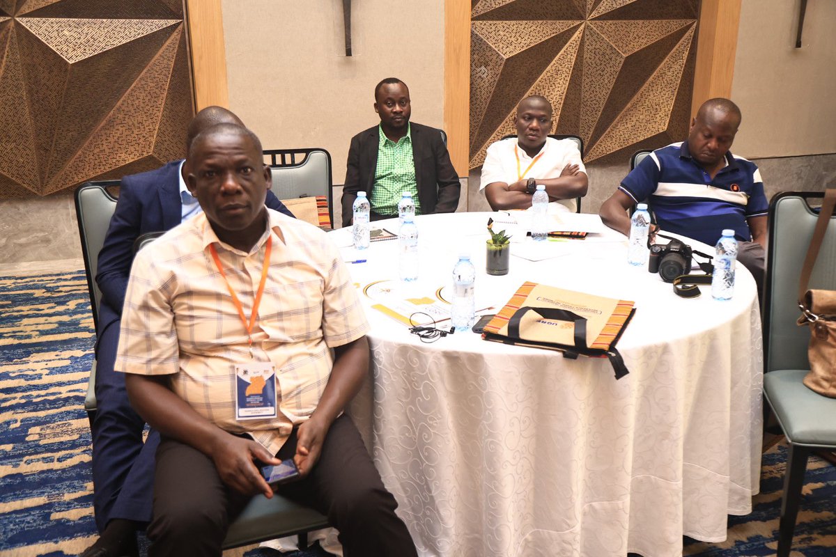
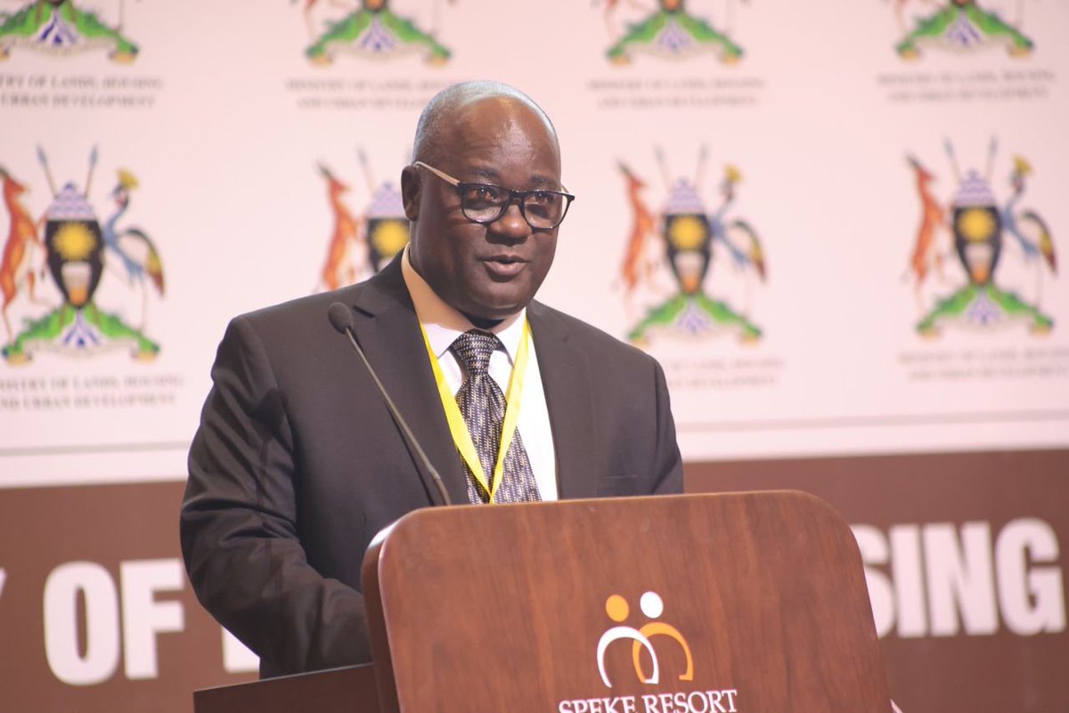
Johnson Bigiira, speaking on behalf of Johnson Mukaaga, the Project Coordinator of the Land Component under @cedp_uganda , delivered the closing remarks at the UGRF-2 National Workshop.
He began by giving a history of surveying in Uganda which has relied on outdated survey control points, making the process expensive and inaccessible for many, particularly vulnerable groups. Modernized survey control points, such as those established under the Uganda Geodetic Reference Framework (UGRF), will significantly reduce surveying costs and ensure accurate land parcel positioning. This will help mitigate land-related conflicts caused by imprecise surveys.
He highlighted the growing importance of the global geospatial industry, which contributes over $500 billion to the global economy and is projected to reach $1 trillion by 2025. Uganda’s modern and accurate geodetic framework will be vital for providing location data to support the global digital economy.
He reiterated the importance of collaboration and the crucial role it plays in aligning Uganda’s geodetic framework with regional and global systems to advance scientific research and drive socio-economic transformation. He called on surveyors, academia, and stakeholders to make full use of the 40 CORS and 426 passive control points established under the UGRF project, as well as the unified network of about 40 privately owned CORS stations.
He expressed gratitude to participants and officially closed the workshop, reaffirming the Ministry’s commitment to leveraging geospatial infrastructure for national development.
#TellingtheCEDPstory
#UGRFWorkshop2024
1
5
16
1,576

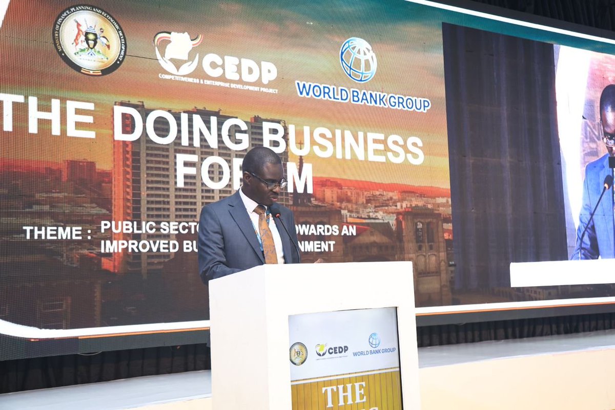
In their presentation on Public Sector Reforms Towards an Improved Business Environment, @UNBSug led by Ms. Patricia Bageine the Deputy Director standards, highlighted key measures aimed at enhancing trade within the East African Community (EAC). These reforms include the Customs Union Protocol (2005), which liberalizes intra-regional trade, promotes production efficiency, and attracts investment, and the Common Market Protocol (2010), which enables the free movement of goods, services, Labor, and capital across the region.
UNBS also emphasized the significance of the EAC SQMT Act (2006), which provides a framework for cooperation in standardization, quality assurance, metrology, and testing. This act established the East African Standards Committee (EASC) to harmonize regional standards and ensure their effective implementation.
Key impacts of these standards were outlined, starting with market access, as products meeting harmonized East African Standards (EAS) gain entry into domestic, regional, and international markets. By aligning with these standards, partner states ensure that products meet quality requirements, enabling wider trade opportunities.
Standards also enhance competitiveness by fostering consistent supply and export potential. They promote fair trade by setting quality benchmarks that eliminate substandard products from the market, protecting both consumers and producers who invest in quality.
Lastly, standards significantly contribute to economic growth. Ms. Bageine cited that standardization accounted for 23.7% of Uganda's GDP growth from 2001 to 2019, demonstrating its transformative impact on productivity and national output.
#TheDoingBusinessForum

1
2
568
At #The DoingBusiness Forum, @URSBHQ led by Director in charge of Business Registration Ntale Mustapher, highlighted the key reforms undertaken to improve the ease of doing business. These include simplifying business registration, enhancing credit access via SIMPO, and establishing an efficient insolvency regime for SMEs.
The Security Interest in Movable Property System (SIMPO), launched in 2019, is a collateral registry enabling lenders to register security interests on movable assets. Integrated with the motor vehicle registry in 2023, SIMPO and URSB reforms have fostered trust, quick registration, and expanded access nationwide.
He said the Online Business Registration System (OBRS), launched in December 2022, automates business registration, allowing clients to create accounts, apply online, and get real-time feedback. Integrated with URA, NIRA, and MDAs via UGHUB, OBRS streamlines processes, including instant TIN generation.
Other reforms include introducing a single registration form, lean MEMARTS, operationalizing a one-stop centre, and mass business registration initiatives. URSB also oversees insolvency processes and strikes off defunct companies, ensuring efficiency and governance in business operations.
#TellingtheCEDPstory
2
2
634
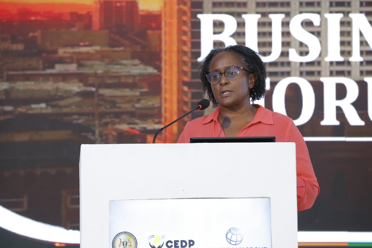
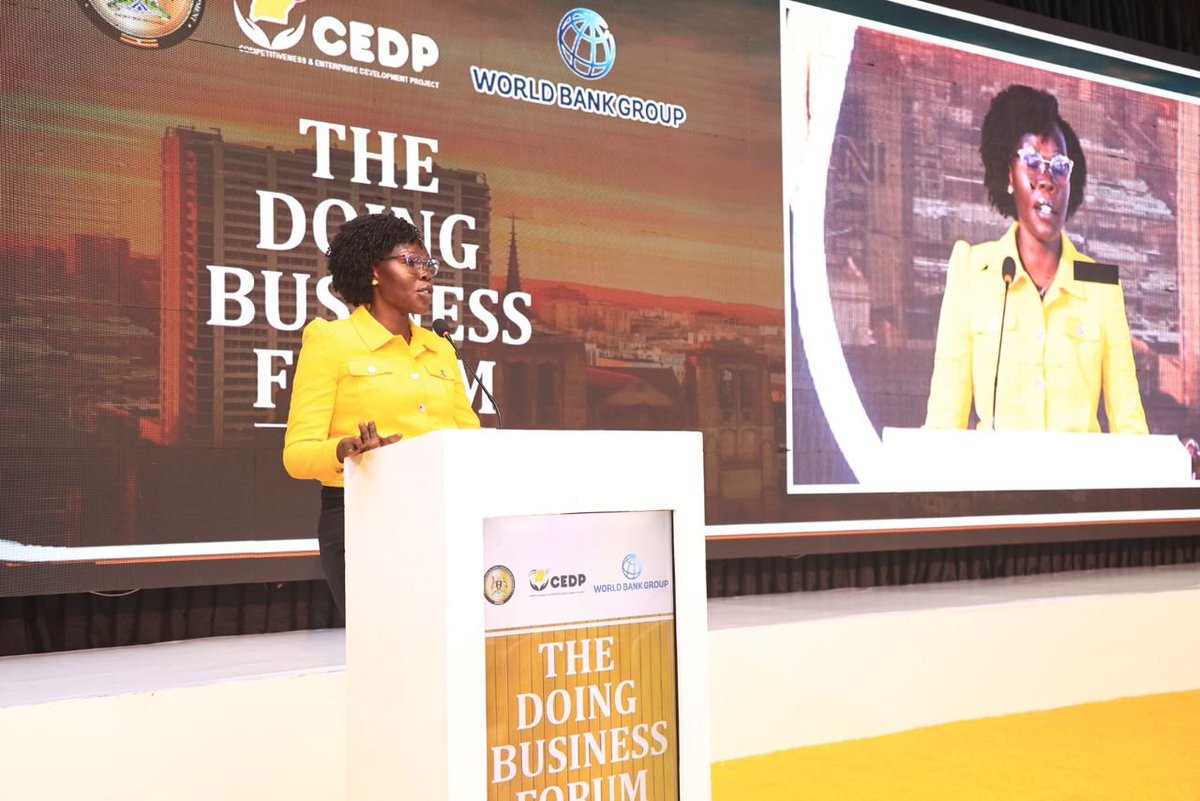
In her opening remarks, @Anite__Evelyn - Minister of State for Investment &Privatisation in @mofpedU highlighted her personal experience in the private sector, particularly in hospitality and manufacturing, which gives her insight into the challenges faced by investors and businesspeople in Uganda.
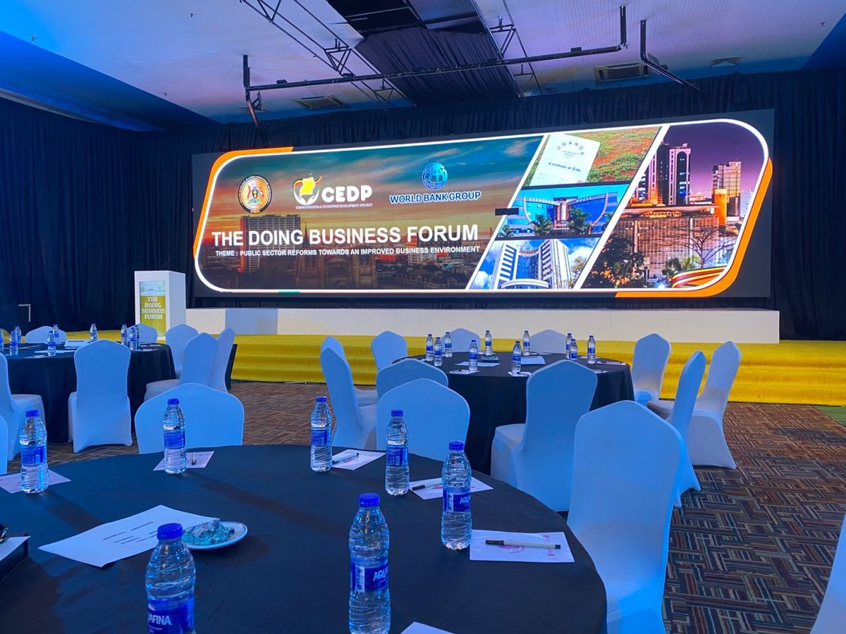
Speaking at the forum under the theme ‘Public Sector Reforms Towards an Improved Business Environment,’ she emphasized the government’s recognition of the private sector as the engine of economic growth, particularly its critical role in job creation and innovation.
The Minister reaffirmed the government’s commitment to fostering a favourable business environment and described the forum as an opportunity to reflect on progress and develop innovative solutions to challenges hindering Uganda’s economic aspirations. She outlined targeted reforms aimed at reducing the cost of doing business and enhancing competitiveness, highlighting key initiatives such as:
1- Land Titling: Land titling efforts have increased titled land to 30%, enabling businesses to access credit more easily by using land as collateral.
2- Industrial Park Development: Supported by @ugandainvest 15 industrial parks are at various stages of development, hosting 514 factories, creating over 102,700 jobs, and attracting investments worth $2.99 billion.
3- Streamlined Business Registration: Business registration processes @URSBHQ have been reduced from 33 days in 2014 to just one day in 2024, facilitated by online registration systems and a One-Stop Centre.
4- Enhanced Trade Facilitation: The Uganda Electronic Single Window (UeSW) program now connects 15 MDAs, simplifying trade processes.
Additionally, the Uganda Business Facilitation Centre offers a One-Stop Centre for tax registration, licensing, and permit acquisition.
5- Modernized Land Management: Land management systems have been upgraded under the Competitiveness and Enterprise Development Project (CEDP).
6- Business Licensing Reforms: Ongoing reforms aim to eliminate regulatory constraints.
Minister @Anite__Evelyn also detailed significant government funding allocated to support these reforms, including:
Shs 193.5 billion for modernizing land management.
Shs 25.3 billion for reducing electricity costs.
Shs 172.45 billion for improving tax compliance.
Shs 68.5 billion for quality standards enforcement by the Uganda National Bureau of Standards (UNBS).
Shs 8.03 trillion across wealth funds such as the @UDB_Official , Parish Development Model, and programs targeting youth and women entrepreneurs to address credit access challenges.
Despite these strides, @Anite__Evelyn acknowledged persistent challenges, including high operational costs from infrastructure inefficiencies, weak enforcement of quality standards, and limited access to affordable financing.
She called on participants to contribute to insights and practical solutions, emphasizing that collaboration is essential to creating a competitive and inclusive economy.
#DoingBusinesForum
#TellingtheCEDPstory
154
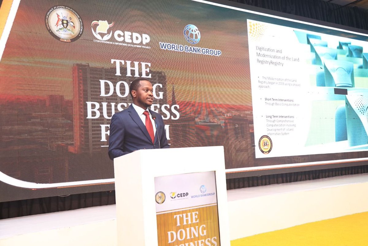
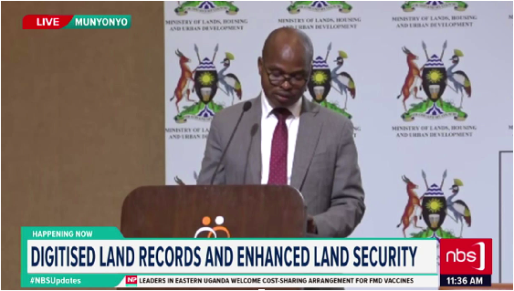
Presenting for @ministry_lands at the #DoingBusinessForum, Mr Lenin Victor Oonyu- The head of the Lands Information Centre, outlined key land reforms implemented over the past decade and also the planned interventions for the next five years.
In his presentation, he emphasized Uganda’s transformation in land administration ®istration. Key reforms include the Public Land Information Portal, enhancing transparency and access to land records, and the Land Valuation System (LAVMIS), streamlining land valuation data collection, storage, and management. These systems provide centralized, accurate, and up-to-date information.
Community engagement has been pivotal to these reforms. Over 800,000 Certificates of Customary Ownership (CCOs) have been issued to strengthen land rights, and Customary Land Associations (CLAs) empower communities to formalize land ownership. Both CCOs and CLAs have been integrated into the Land Information System (LIS), alongside mass land title production efforts.
He highlighted improved service delivery through 22 Ministry Zonal Offices across the country, bringing efficient and faster services closer to citizens while fostering secure land tenure. These offices are in Kampala, Wakiso (2), Mukono, Jinja, Masaka, Mbarara, Lira, Kabarole, Kibaale, Arua, Gulu, Masindi, Mbale, Kabale, Mityana, Luwero, Soroti, Tororo, Moroto, Mpigi, and Rukungiri.
Mr. Oonyu also recounted the phased modernization of the Land Registry, which began in 2003 with both short-term and long-term interventions.
Short-Term Interventions:
📷 Basic computerization in the Land Registry.
📷 Vetting of titles to identify genuine and forged documents.
📷 Sorting titles for inclusion in the LIS.
📷 Title indexing and barcoding for efficient retrieval.
📷 Quality control, filing, and secure storage.
Long-Term Interventions:
📷 Phase I (2007): Baseline study, preliminary LIS design, and securing land records.
📷 Phase II (2010): Detailed design, installation, and pilot implementation of the LIS.
📷 Phase III: Nationwide LIS rollout and decentralization of cadastral information to the 22 zonal offices.
One of the major outcomes has been the development of the UgNLIS platform (accessible via ugnlis.mlhud.go.ug), available both as a web and mobile app, enabling instant online land searches. Additionally, corporate portals have been implemented for banks, surveyors, advocates, and licensed real estate agents, further enhancing service delivery.
#TellingtheCEDPstory

3
5
573
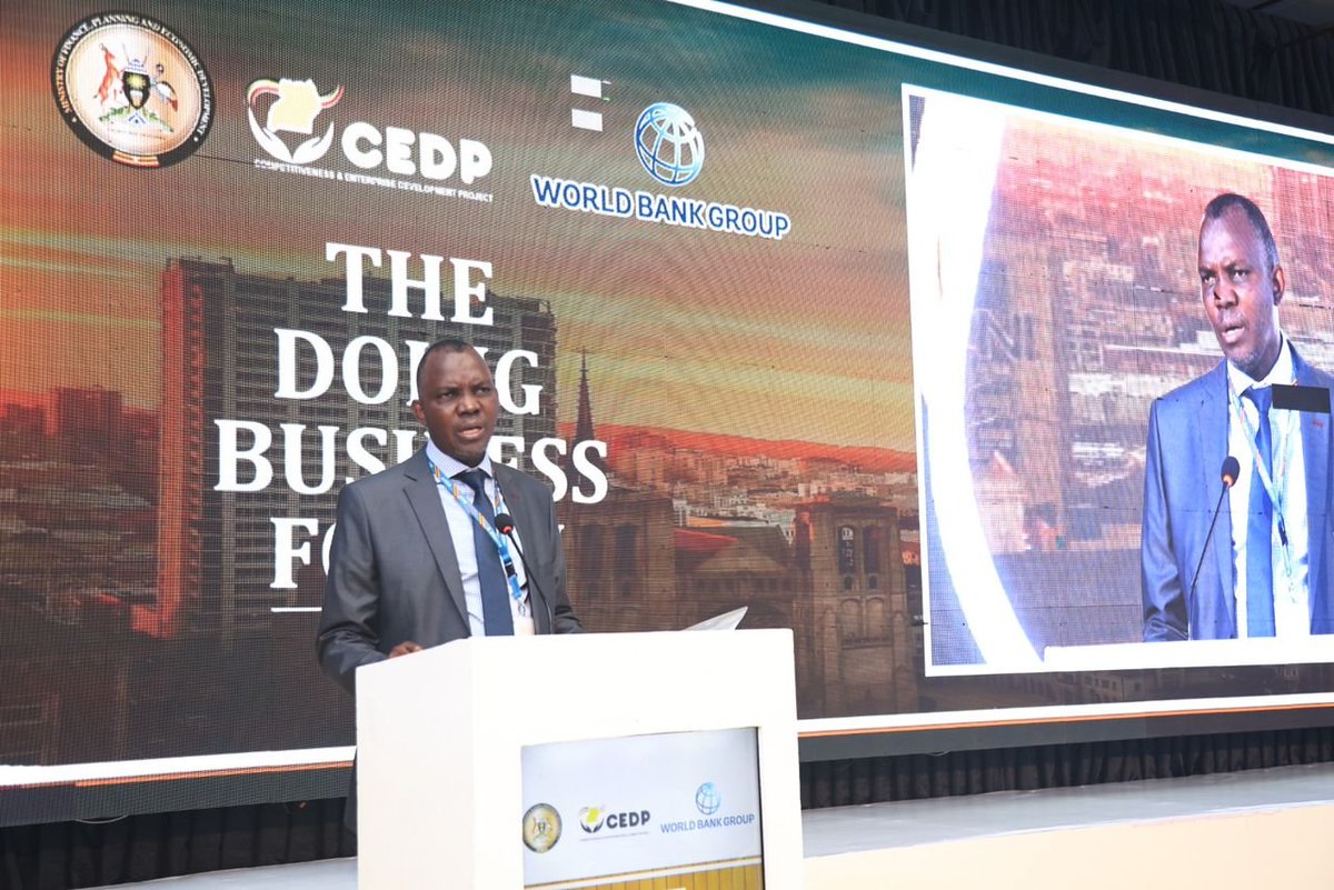
Delivering opening remarks on behalf of @rggoobi Mr. Moses Kaggwa, Director of Economic Affairs @mofpedU underscored the private sector's pivotal role in Uganda’s economic growth, contributing 80% of GDP, 77% of jobs, and 60% of investments, as highlighted in the third National Development Plan (NDP III). Despite this significant impact, he acknowledged persistent challenges, including high operational costs, limited production capacity, weak enforcement of standards, and inadequate access to affordable financing.
To tackle these issues, he outlined the government’s efforts under the Second National Strategy for Private Sector Development (NSPSD II), aimed at enhancing competitiveness across NDP III’s 20 programs. Key achievements include reforms in business registration, which reduced the informal sector's share from 51% to 45% and boosted registered businesses by nearly 20% between 2020 and 2024. The adoption of online registration systems has further streamlined processes, encouraging formalization.
Addressing high credit costs, Mr. Kaggwa highlighted Shs 8.03 trillion allocated to wealth funds such as the Uganda Development Bank, Emyooga, and the Agricultural Credit Facility to provide alternative financing options. Efforts to reduce operational costs include halving internet costs and extending connectivity through the National Backbone Infrastructure project. Ongoing licensing reforms aim to eliminate bureaucratic hurdles, fostering a more business-friendly environment.
He also detailed measures to decentralize @UNBSug laboratories to regional hubs and automate testing and certification processes, making them more accessible and cost-effective. Infrastructure upgrades, including Shs 1 billion allocated annually for last-mile road maintenance, have improved market access for private sector players.
He also said Judicial reforms, such as the Electronic Court Case Management Information System (ECCMIS), have expedited case resolution and strengthened contract enforcement and the launch of the National Business Development Services Framework in 2022 supports SME growth and improves survival rates.
Looking ahead to the fourth National Development Plan (NDP IV), Mr. Kaggwa emphasized scaling up reforms to reduce operational costs, enhance market access, and strengthen local firms’ capacity to benefit from public investments. He highlighted the government’s commitment to improving private sector competitiveness and institutional capacity through performance-based reforms.
He concluded by appreciating the contributions of development partners, including @TradeMarkAfrica @EUinUG and the @WBG_IDA. He called for a continued collaboration and dialogue to position Uganda as a top-tier business and investment destination.
#DoingBusinessForum
#UgandaBusiness
#TellingtheCEDPstory

2
5
560
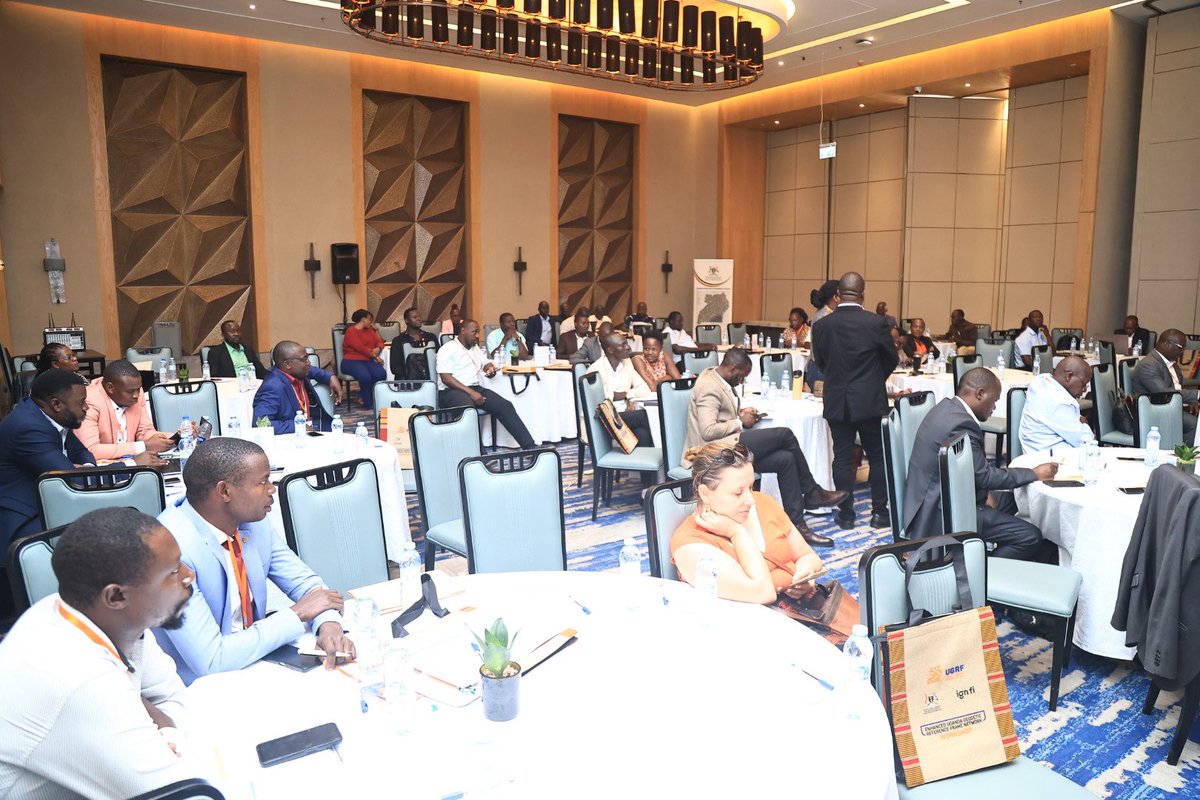
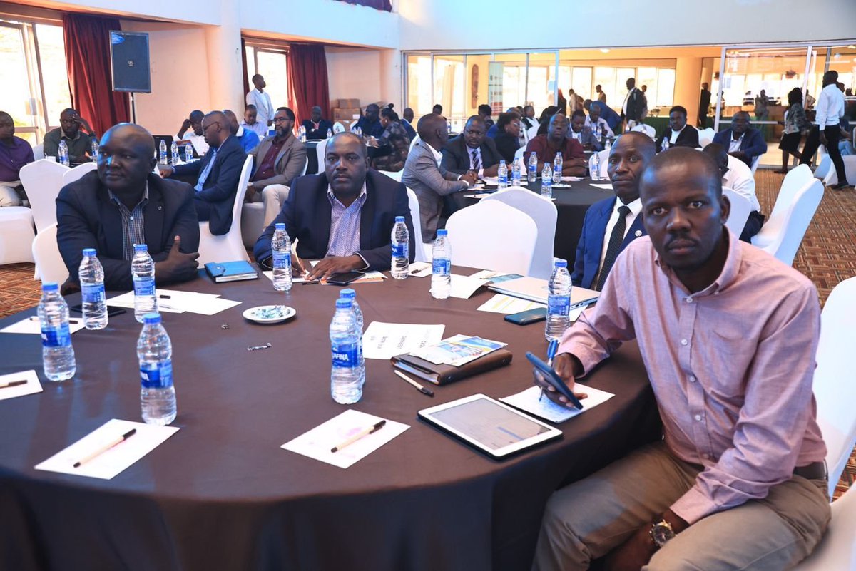
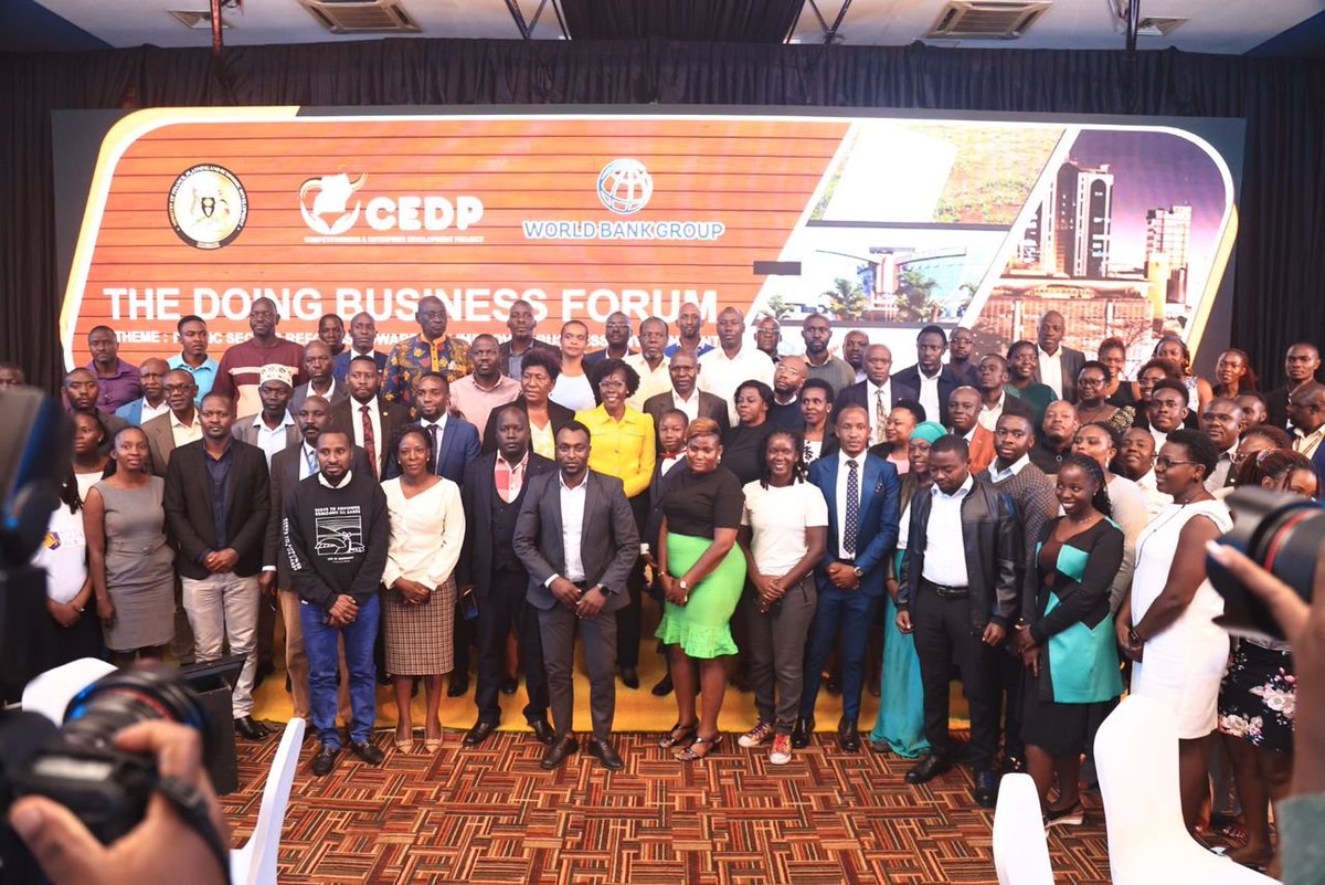
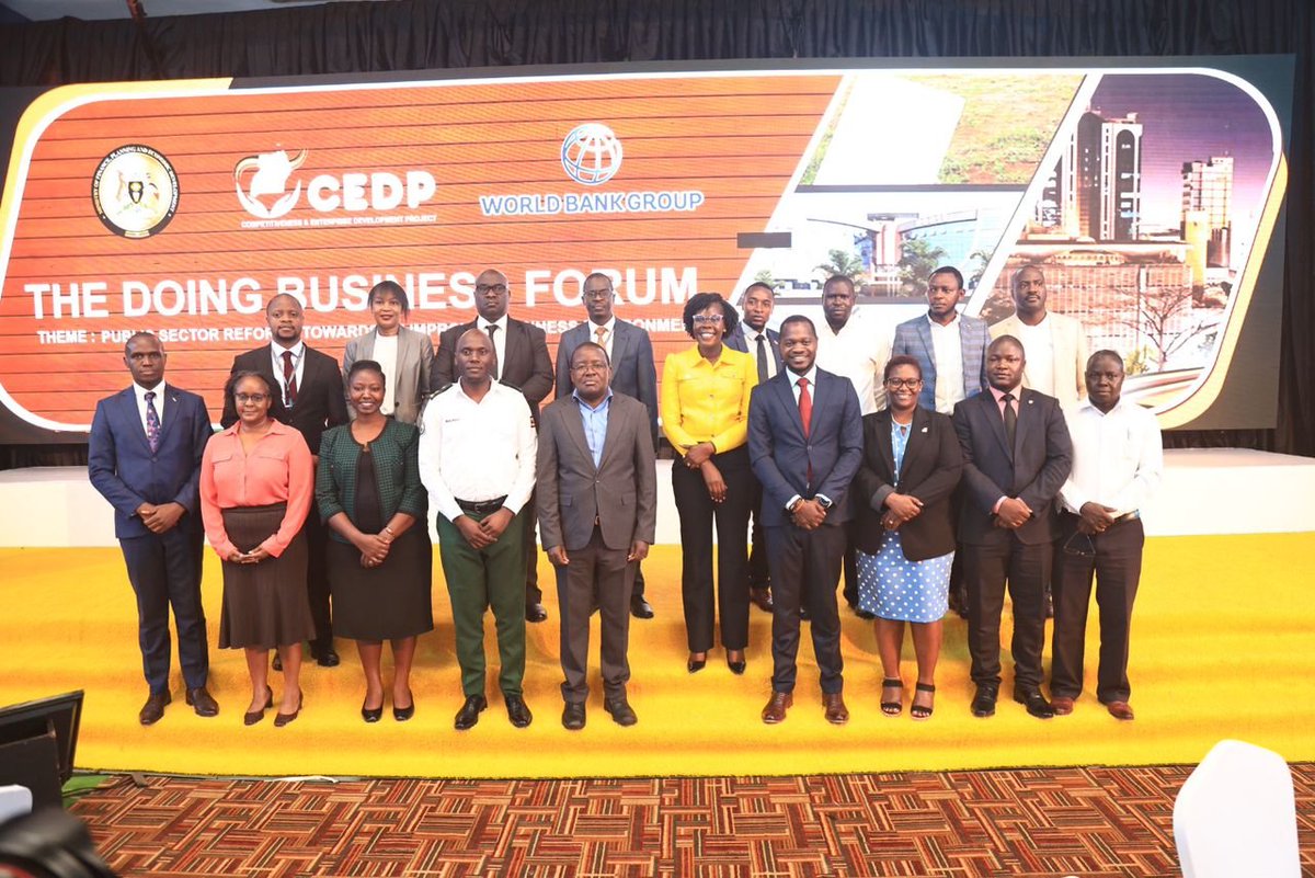
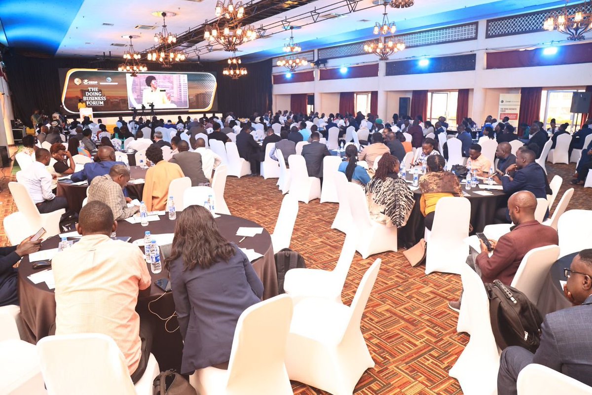
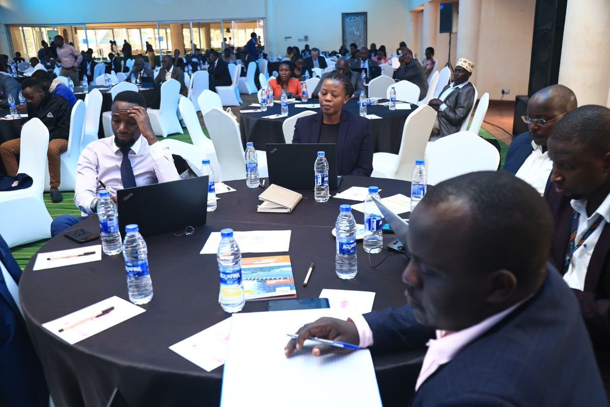
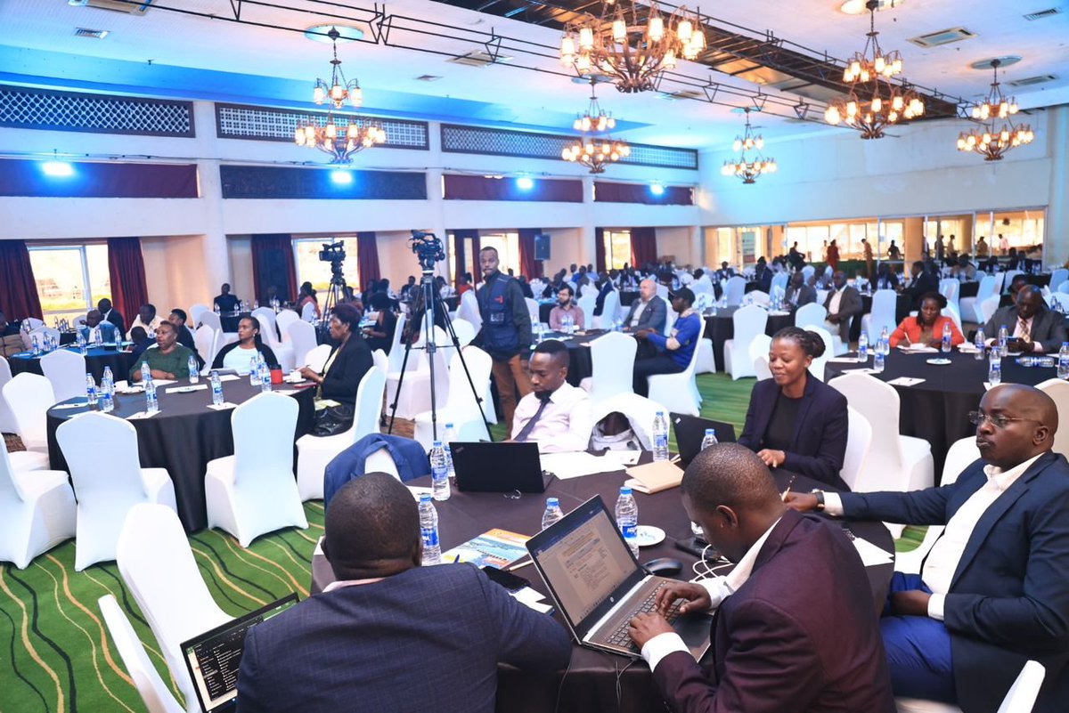
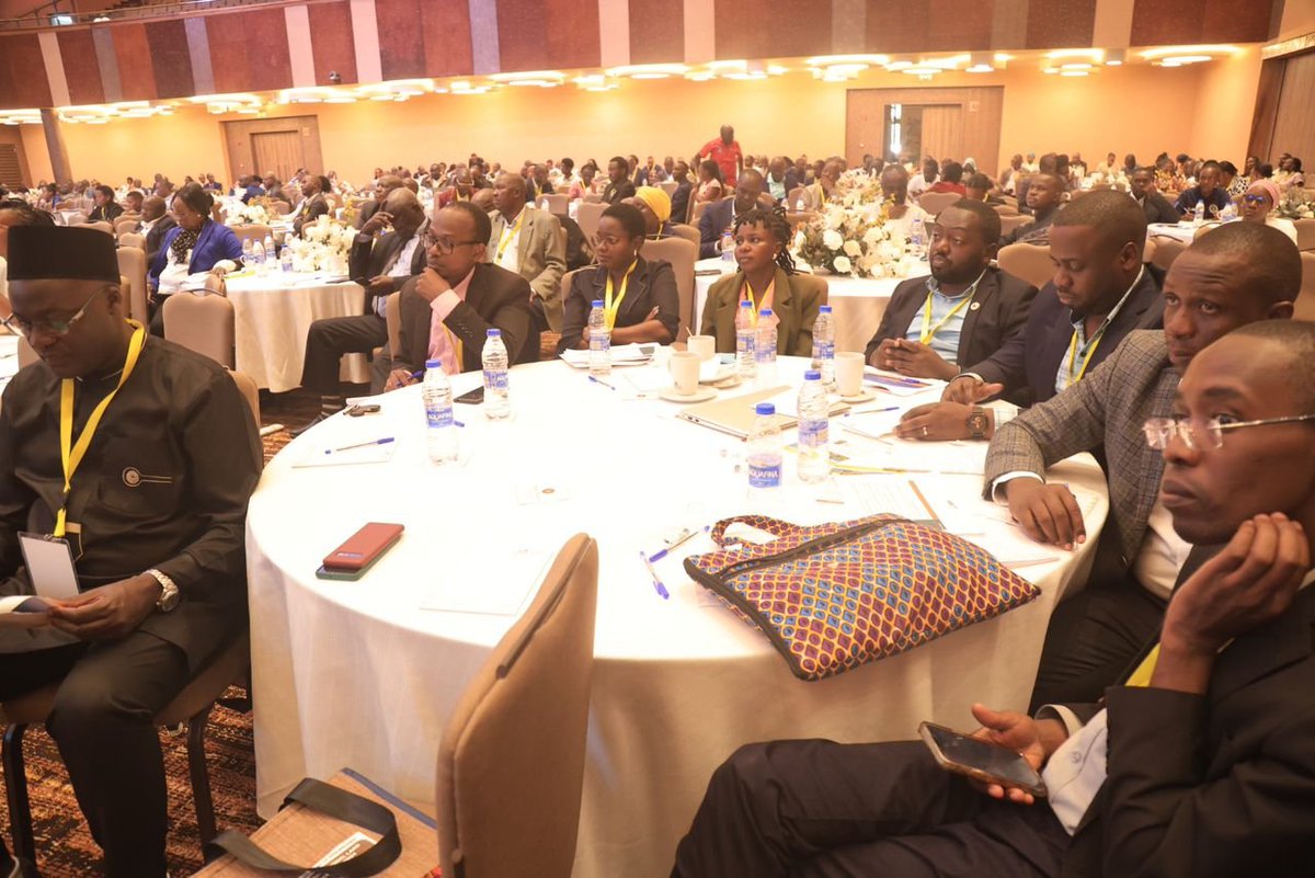
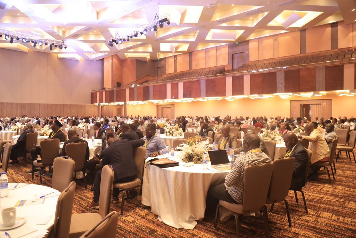
Happening Now: The Doing Business Forum is live at Golf Course Hotel, Kampala! 🏢✨
A platform uniting investors, regulators, and policymakers to explore strategies for improving the business environment. As per the forum concept, the Private Sector Development Unit (PSDU) under @mofpedU has been monitoring reforms under the CEDP, implemented by MDAs like @MTWAUganda @ministry_lands and @URSBHQ. This engagement therefore aims at sensitizing the private sector on these reforms and gathering feedback for a further improvement.
The forum discussions are expected to inform:
· A comprehensive understanding of the current business climate and challenges.
· Identification of actionable strategies to improve the business environment.
· The budget and policy process for the FY 2025/26
· Strengthened relationships and partnerships among stakeholders.
· An action log for public sector on improving the business environment.
· A set of recommendations for policymakers and regulators to enhance the business environment.
#DoingBusinessForum #UgandaBusiness #TellingtheCEDPstory
2
4
493
Competitiveness and Enterprise Development Project retweeted
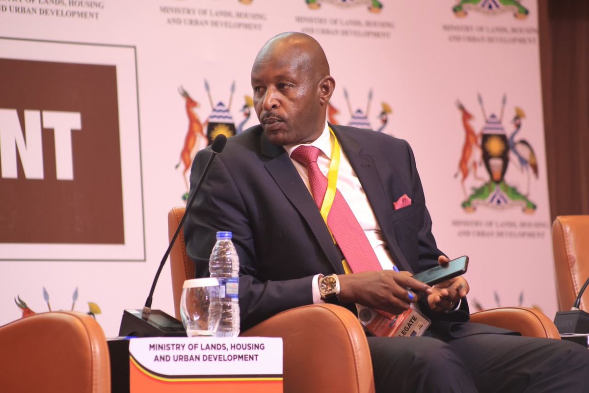
Mr. Godwin Mwesigye, representing Ms. Phionah Barungi a special presidential assistant on special duties, emphasized the pivotal role of security in sustainable land management, which involves efficient use and development of land to prevent degradation, ensure water security, produce food, provide shelter, and preserve the environment.
He referenced Uganda’s 1995 Constitution and the United Nations’ Sustainable Land Management (SLM) framework, which focuses on productivity, security, protection, viability, and acceptability.
Mwesigye highlighted various dimensions of security:
Physical Security: Protecting land use, boundaries, and property rights.
Legal Security: Enforcing laws and resolving land disputes.
Economic Security: Safeguarding investments and promoting sustainable development.
Social Security: Preserving cultural heritage and ensuring equitable land access.
Environmental Security: Protecting natural resources and promoting sustainable practices.
He recommended measures including boundary demarcation, security infrastructure, community engagement, inter-agency collaboration, monitoring, and capacity building towards attaining security and said they would enhance investor confidence, productivity, community cohesion, biodiversity protection, and public peace.
Despite these strategies, Mr Mwesigye said that challenges like corruption, limited resources, complex tenure systems, climate change, and socio-economic pressures still persist.
Mwesigye called for a multifaceted approach involving government, the private sector, communities, and civil society to overcome these issues and achieve sustainable land management.
#Landconference2024
#TellingtheCEDPstory
4
5
679
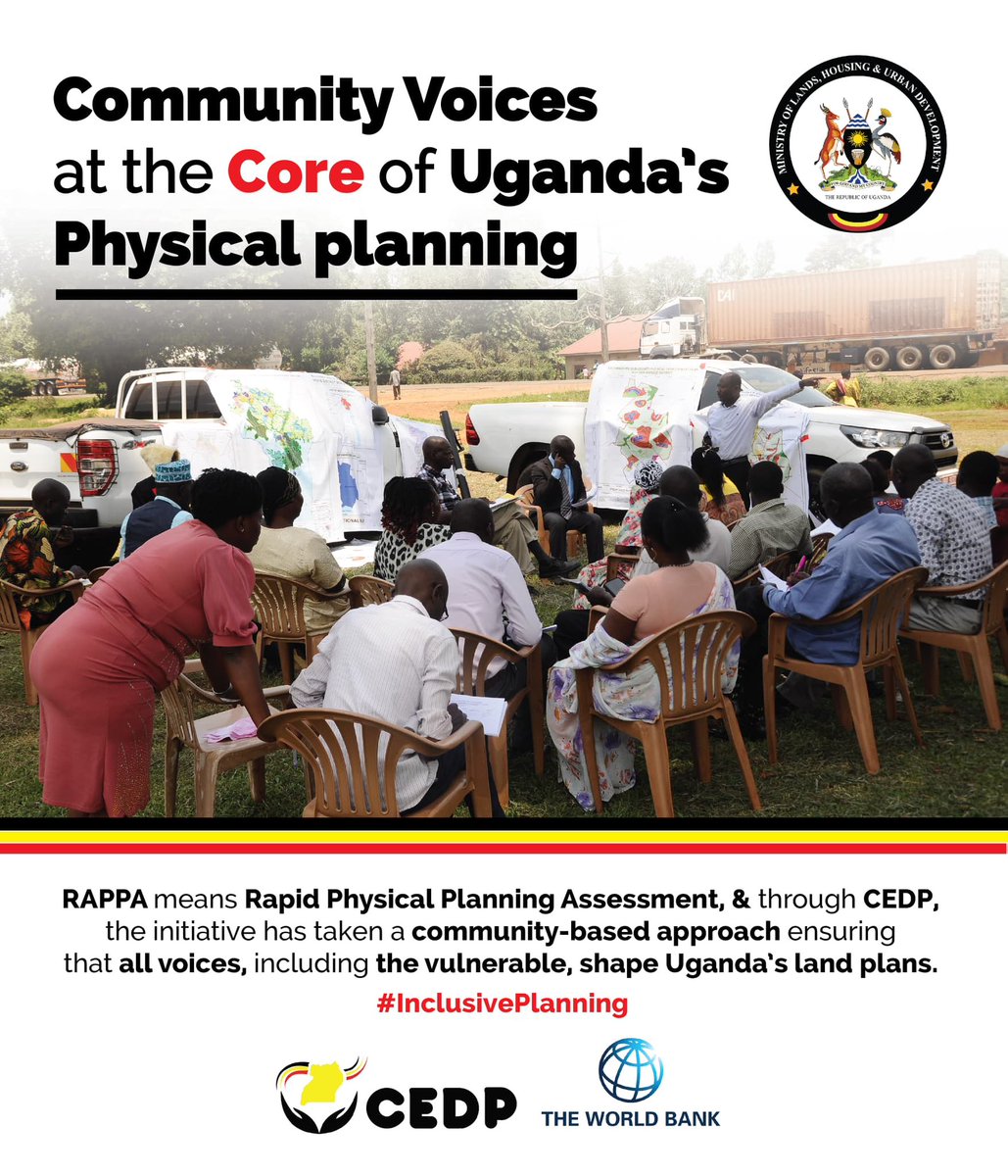
Through data-driven physical planning under CEDP, @ministry_lands is paving the way for sustainable land development that balances community needs and environmental priorities.
#TellingTheCEDPStory
5
7
604
Competitiveness and Enterprise Development Project retweeted

21 Nov 2024
Smith Twinamatsiko: The biggest registration of land in Uganda has taken place in the Central and the rest of the regions share the rest.
#TellingtheCEDPstory #LandConference2024 #NBSUpdates
2
1
10
2,611
Competitiveness and Enterprise Development Project retweeted

21 Nov 2024
Richard Juuko, @ministry_lands: The land policy consultations are ongoing countrywide to get input and ideas for the revision of the national land policy.
#TellingtheCEDPstory #LandConference2024

5
7
450
Competitiveness and Enterprise Development Project retweeted
21 Nov 2024
Richard Juuko, @ministry_lands: The land sector around the world is critical for economic growth, social transfromation and development.
#TellingtheCEDPstory #LandConference2024 #NBSUpdates
1
1
9
2,059
Competitiveness and Enterprise Development Project retweeted
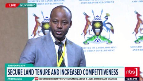
Johnson Mukaga, the project coordinator for the @cedp_uganda land component, outlined key milestones achieved by the @ministry_lands under the CEDP. These reforms, he said, have transformed the land sector, directly impacting over 46 million citizens through improved land tenure security.
Key achievements include:
1. Development and Implementation of the Uganda National Land Information System (UgNLIS):
2. Operational in all 22 Ministry Zonal Offices (MZOs), the National Land Information Centre, and other key institutions, leading to reduced turnaround times and costs for land transactions.
3. Cost of a land search dropped from $80 in 2013 to $3 currently.
4. Transaction time decreased from 270 days in 2011 to 26 days in 2024.
5. Enhanced efficiency and transparency: innovations such as public portals and mobile apps have reduced malpractices like forgery and fraud.
6. Growth in Registered Land Titles: The number of registered land titles increased from 0.5 million in 2013 to 1.4 million in 2023.
7. Revenue Generation: Over $165 million was raised during the project period.
8. Promotion of Private Sector Investment and Job Creation: The reforms have facilitated sustainable land use and encouraged economic growth.
Despite these successes, Mr. Mukaga acknowledged challenges, including outdated land records, limited public awareness, and inadequate service delivery capacity. Innovations like batch processing for land titles and Certificates of Customary Ownership (CCOs) are helping address these gaps in the meantime.
Mukaga emphasized the need for a forward-looking strategy involving a comprehensive review of land sector reforms, stakeholder feedback, and sustainability planning with the ultimate goal of ensuring an equitable, efficient, and transparent land administration system that supports Uganda’s economic growth and development.
#Landconference2024
#TellingtheCEDPstory


7
11
637
Competitiveness and Enterprise Development Project retweeted
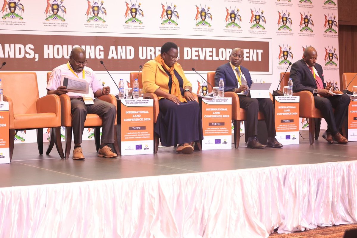
Ms. Naomi Kabanda, Acting Commissioner for Land Administration, reviewed the implementation of the National Land Policy (NLP) 2013 and outlined proposals for the revised NLP 2024.
Formed in 2013, the National Land Policy aimed to promote efficient, equitable, and optimal land use to support socio-economic developmetransformation,nt. While progress has been made in areas such as land rights administration and regulatory frameworks, challenges persist, including gaps in tenure security, protection of vulnerable groups' land rights, and institutional coordination.
The draft NLP 2024 builds on these achievements, emphasizing sustainable and inclusive land use for socio-economic transformation and its key objectives include:
📷 Strengthening land's contribution to sectors like agriculture and infrastructure.
Formed in 2013, the National Land Policy aimed to promote efficient, equitable, and optimal land use to support socio-economic development and transformation. While progress has been made in areas such as land rights administration and regulatory frameworks, challenges persist, including gaps in tenure security, protection of vulnerable groups' land rights, and institutional coordination.
📷 Harmonizing tenure regimes to ensure equitable access and security.
📷 Streamlining land rights administration for efficient service delivery.
She said the review processes involve nationwide consultations and stakeholder feedback to refine the draft policy before submission to Cabinet. She also acknowledged the support from development partners like GIZ, USAID, and the World Bank in advancing Uganda's land reforms.
#Landconference2024
#TellingtheCEDPstory

1
11
25
1,285
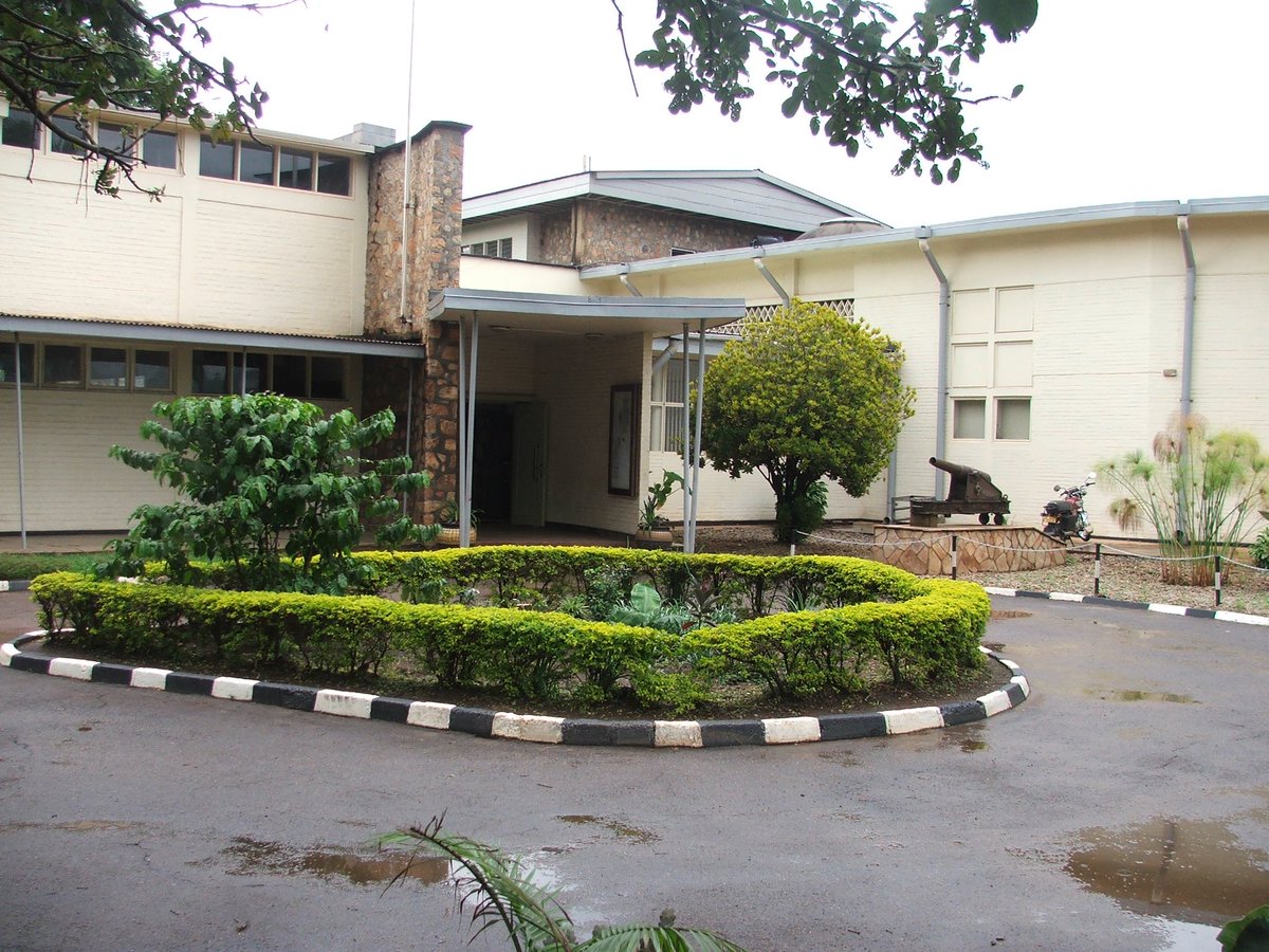
The Uganda Museum is undergoing an exciting transformation, with new construction and partnerships that will elevate its role as a cultural and educational hub.
CEDP’s modernization efforts ensure that Uganda’s heritage is preserved and accessible to all. Stay tuned for the grand reveal! 🏛️
#TellingtheCEDPstory
5
10
1,862
We’re making strides everyday in Tourism through the new facilities constructed through @cedp_uganda. Take a look 👇🏾
youtu.be/TZejSM9Jx3o?si=UGH5…
@WorldBank @WBG_IDA @WorldBankAfrica @uhttijinja @PSF_Uganda @TourismBoardUg @MTWAUganda @UwrtiI @
3
101
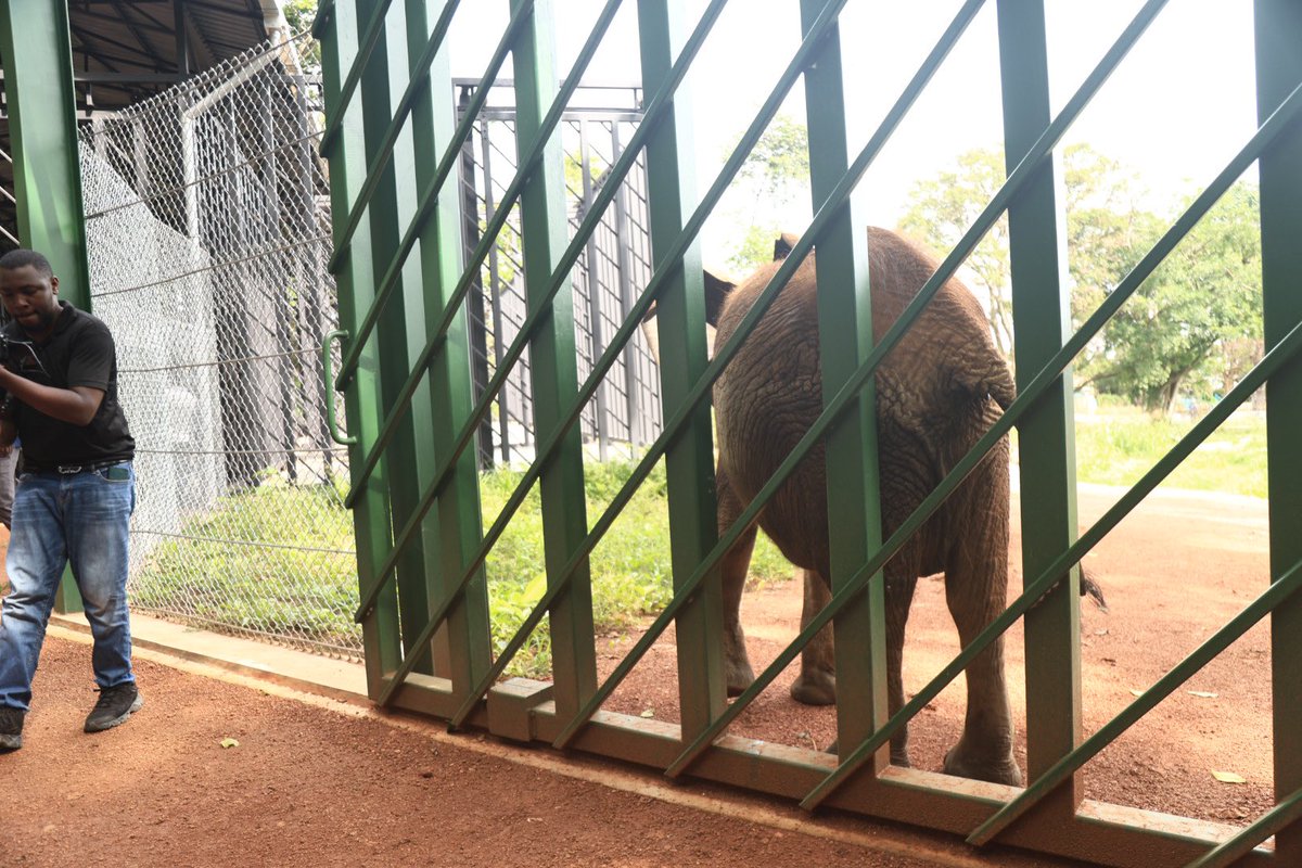
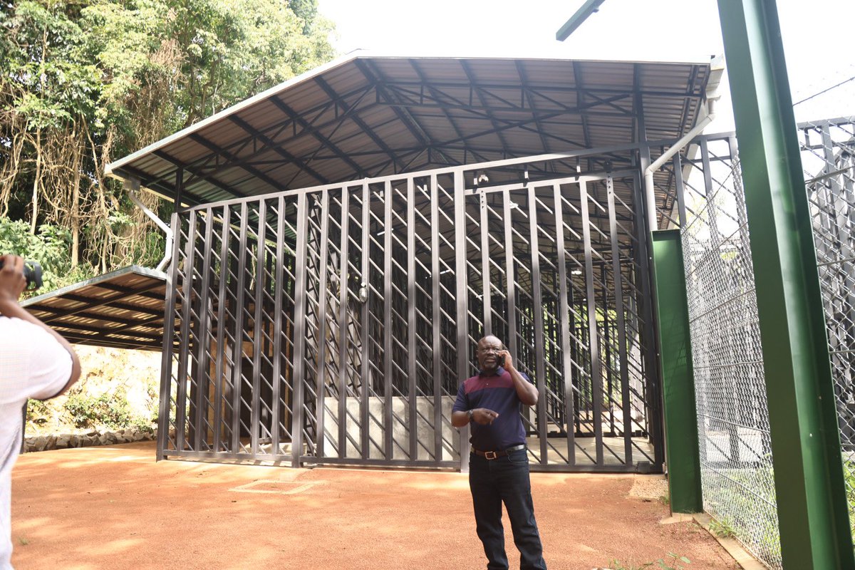
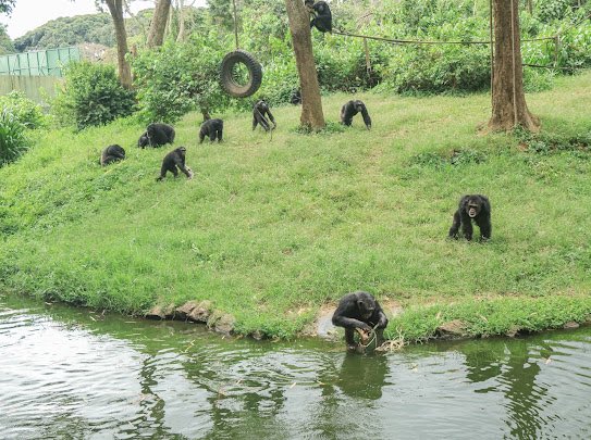
Conservation Boost at UWEC!
UWEC’s newly extended chimpanzee and elephant enclosures are designed to accommodate the rescued animals, providing them a safe and enriched environment. Visitors can now enjoy an up-close wildlife experience while learning about Uganda’s conservation efforts. 🐘🐵
#TellingtheCEDPstory
6
243