
Father, Teacher, Filmmaker, DL Instructor, Reviewer, Curriculum Developer, Reader. Musician, I am many things, South Island Distance Education School, D&D RPG
Joined February 2009
- Tweets 2,972
- Following 557
- Followers 554
- Likes 1,139
173 Photos and videos


Clint Surry retweeted

16 Nov 2024
Normally I do not make dramatic, hypothetical posts, but truly, this is astonishing.
It’s a small low that races west over the pacific early next week, and seems to fuel off another low over the gulf of Alaska. It grows rapidly as it near BC, becoming ridiculously strong.
According to ICON atmospheric pressures would plummet a staggering 59mb from just Monday morning to Tuesday morning, not only reaching bomb cyclone criteria, but blowing far past it.
As it near Vancouver island it will slow down and move very slowly northeast to the central coast.
Although uncertainty remains, if this storm comes too close to western Vancouver island Tuesday night, I fear some communities of the BC south coast may face hurricane force winds.
Stats at peak strength off the coast of western Vancouver island Tuesday night, by ICON.
• Pressure: 948 mb
• Peak wind gusts: 195km/h
#BCStormWatch #BCWind #BCRain #Storm #BombCyclone
39
173
441
156,206
Clint Surry retweeted

6 Aug 2024
Witcher 3, Cyberpunk 2077, Baldur's Gate 3
1
1
39
8 Jul 2024
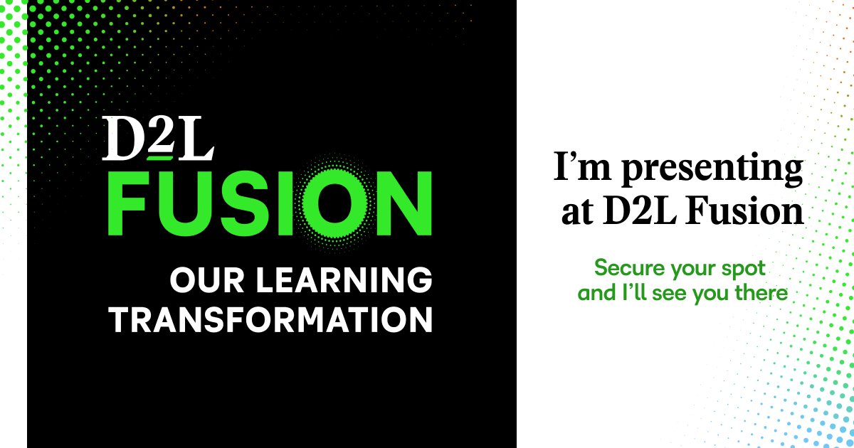
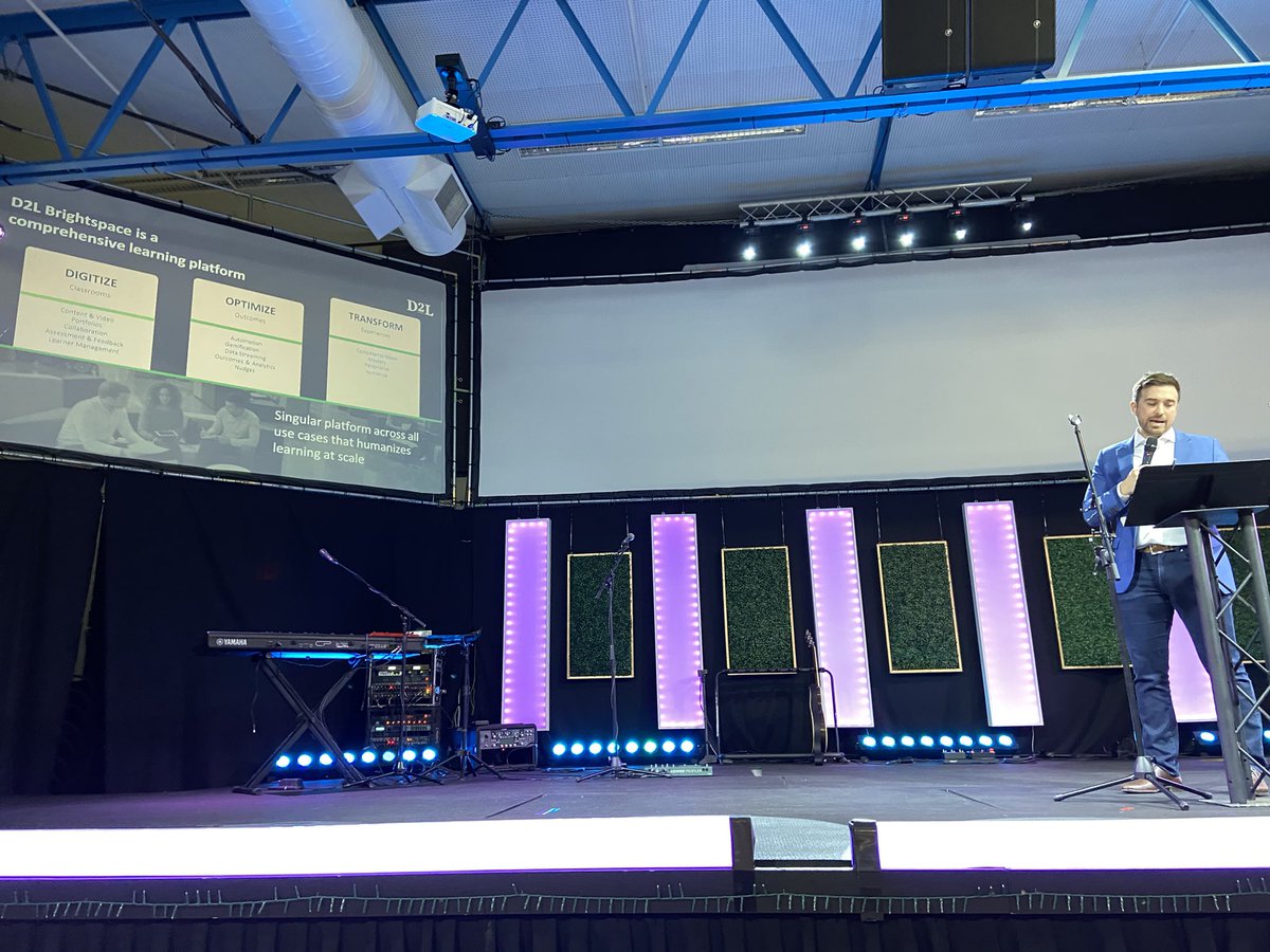
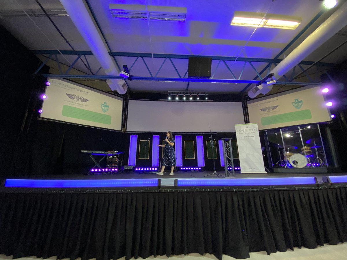
Had a swim, had a nice walk to the convention centre. Grabbing a coffee before registration opens. This is going to be a great conference!!! #D2L #D2LFusion
1
1
81

8 Mar 2024
Excited to be the 51st 😎 on @BackerKit for Quest Chest: Immersive Tabletop Roleplaying Adventures. quest-chest-immersive-tablet…
38
Clint Surry retweeted

1 Feb 2024
Join us in celebrating 50 years of Dungeons & Dragons throughout 2024!
Share with us in the replies the memories of your first D&D adventure.
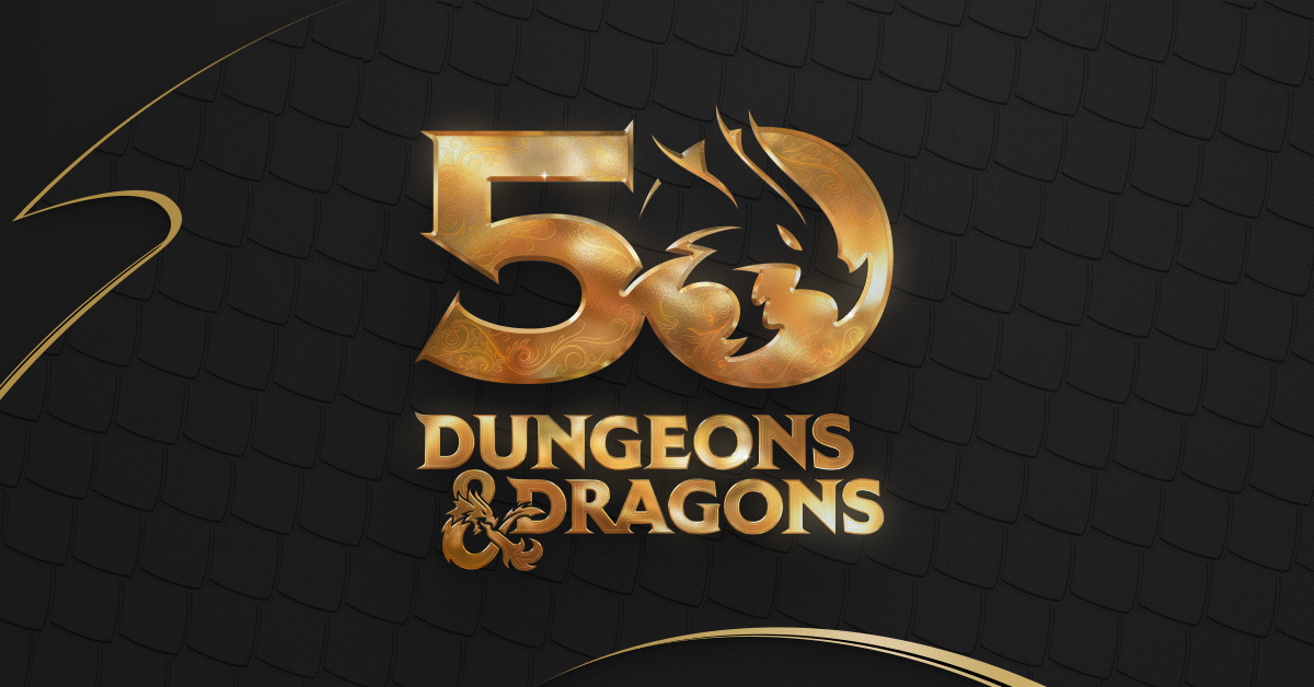
ALT Dungeons & Dragons 50th Anniversary logo in gold on a black background.
205
299
2,179
185,151
20 Jan 2024
I would use this to edit video (work and fun) and stream TTRPG and gaming ...the improved computer & graphics card to what I have would be awesome!!! #AIonRTX
59
15 Jul 2023
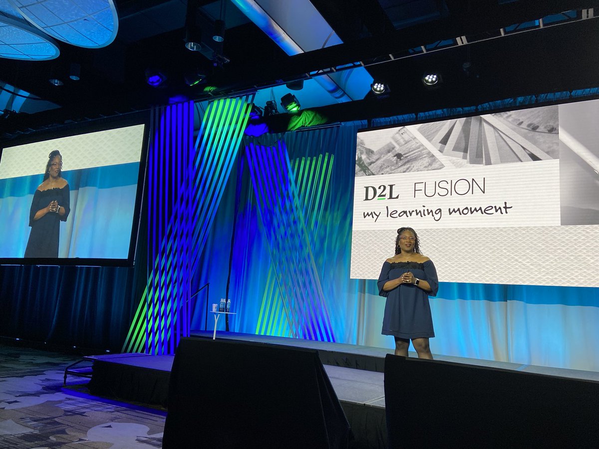
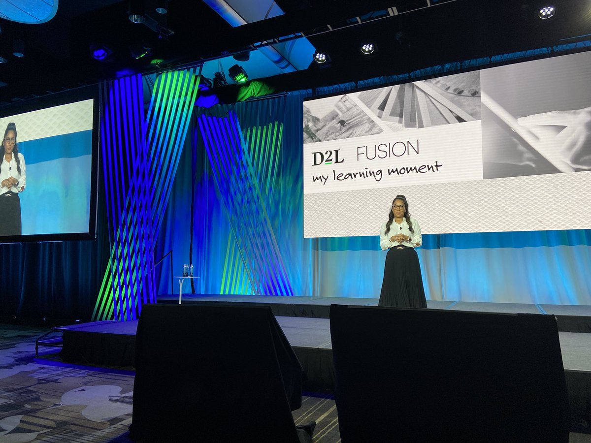
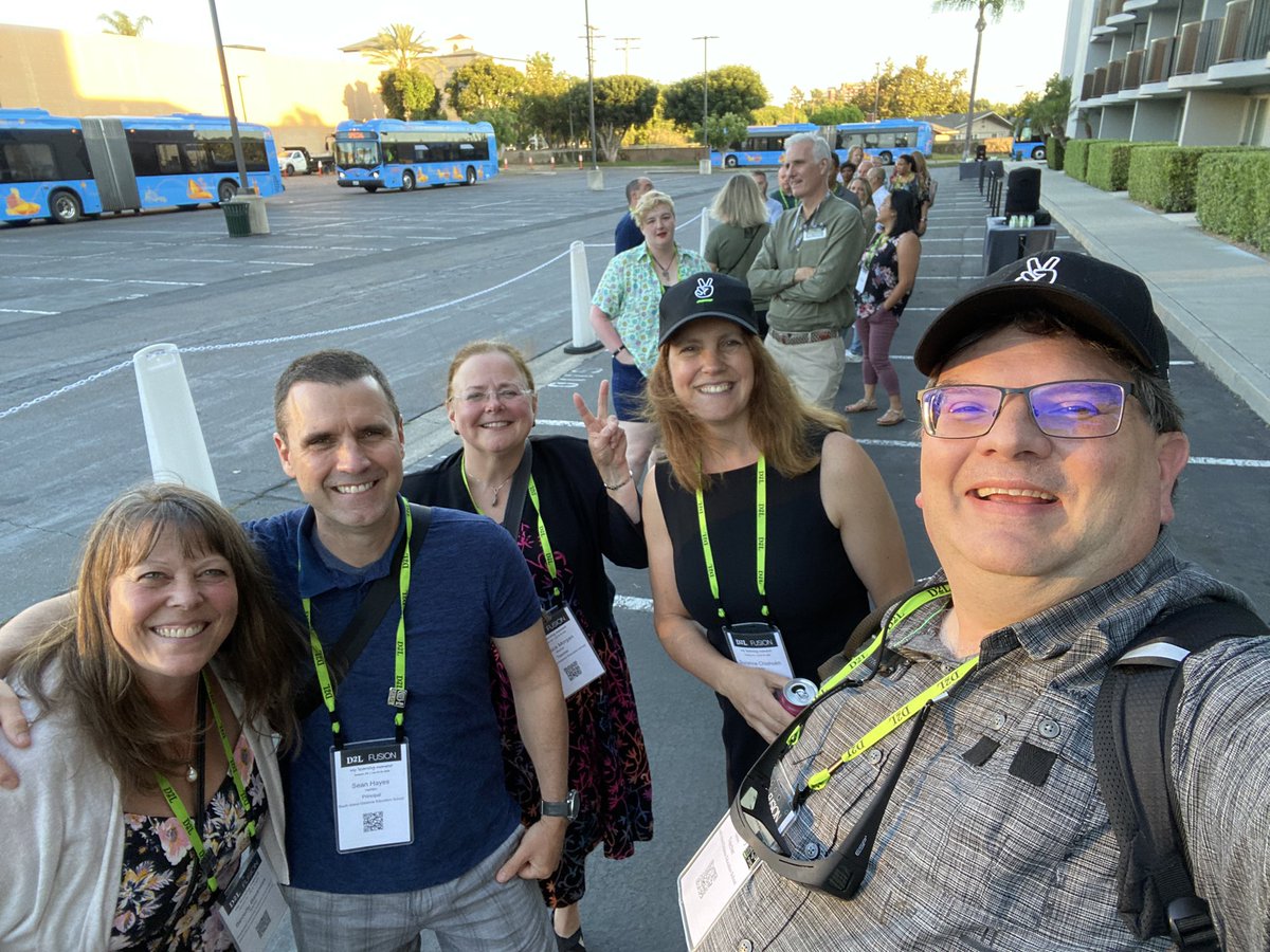
Feeling grateful and inspired as we depart for home. Thank you to D2L, presenters, and all of you wonderful participants! You inspire, motivate & have built an awesome community! Until next time! #D2LFusion @SIDESBC @SeanHayes66 @SuzanneChisholm @BevBastness @ Jessica Morgan
1
7
145
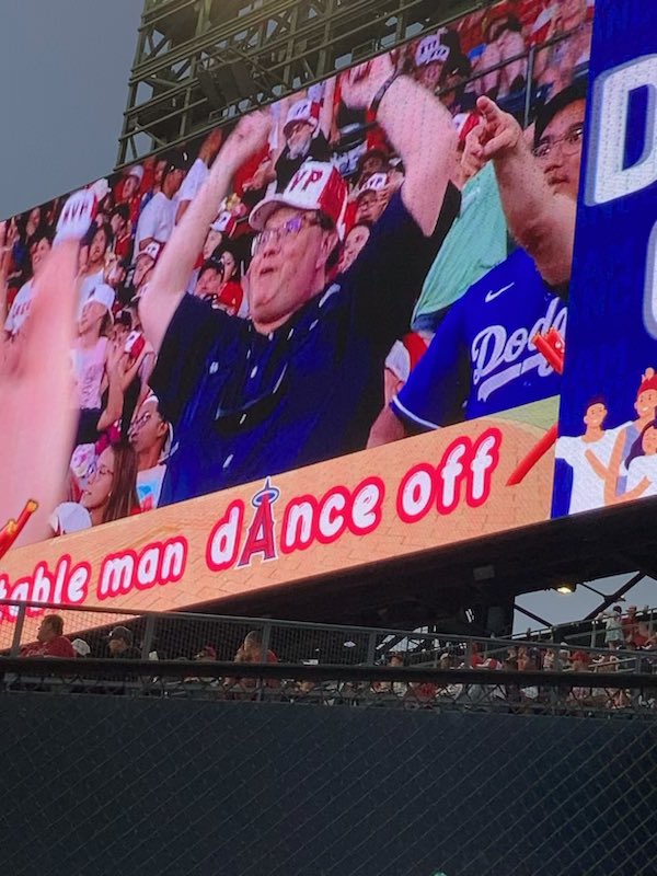
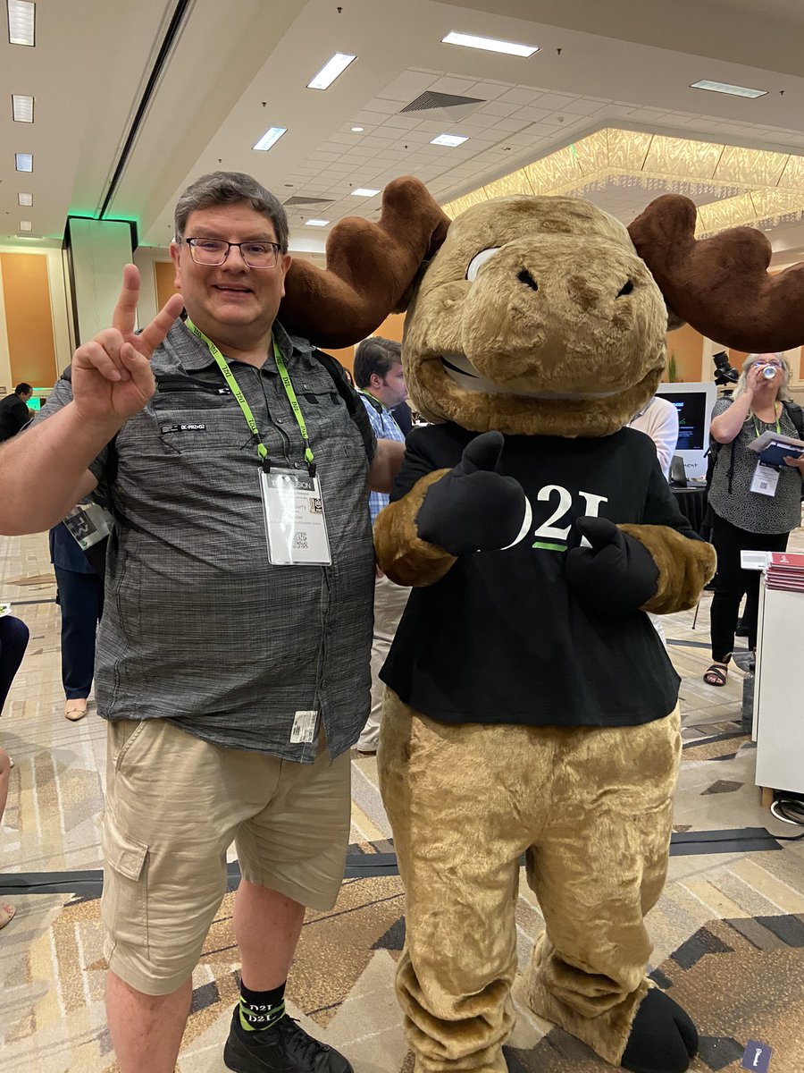
15 Jul 2023
So this happened...dance off at the Angels game #d2lfusion (fun activities just after the conf)
2
10
376