
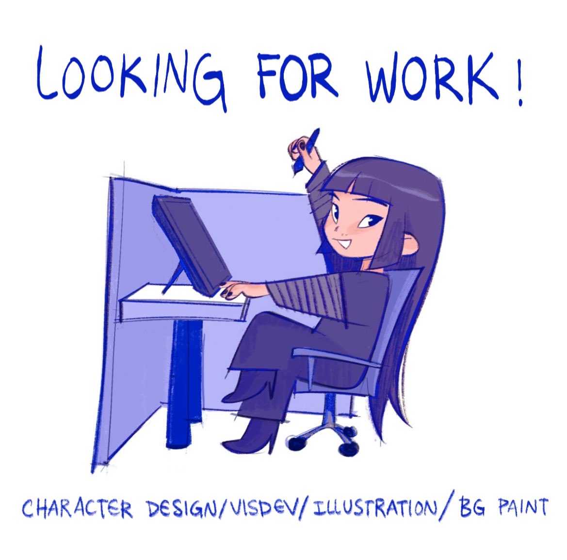
She/her ꪔ̤̮ llustrator/character designer ᯓ★ open for work! crimsoart@gmail.com 🎪
Joined December 2018
- Tweets 15,386
- Following 3,448
- Followers 93,174
- Likes 57,880
238 Photos and videos


Cristinaꪔ̤̮ retweeted

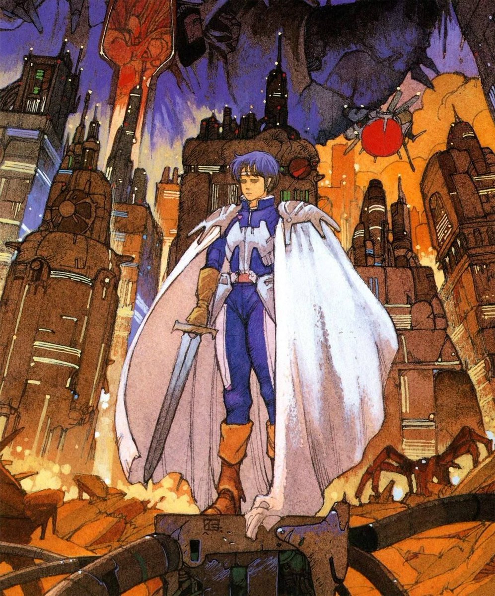
From: The Little Prince and the Eight-Headed Dragon (1963), dir. Yugo Serikawa, Toei Doga
28
823
5,588
645,193
Cristinaꪔ̤̮ retweeted

Jun 11
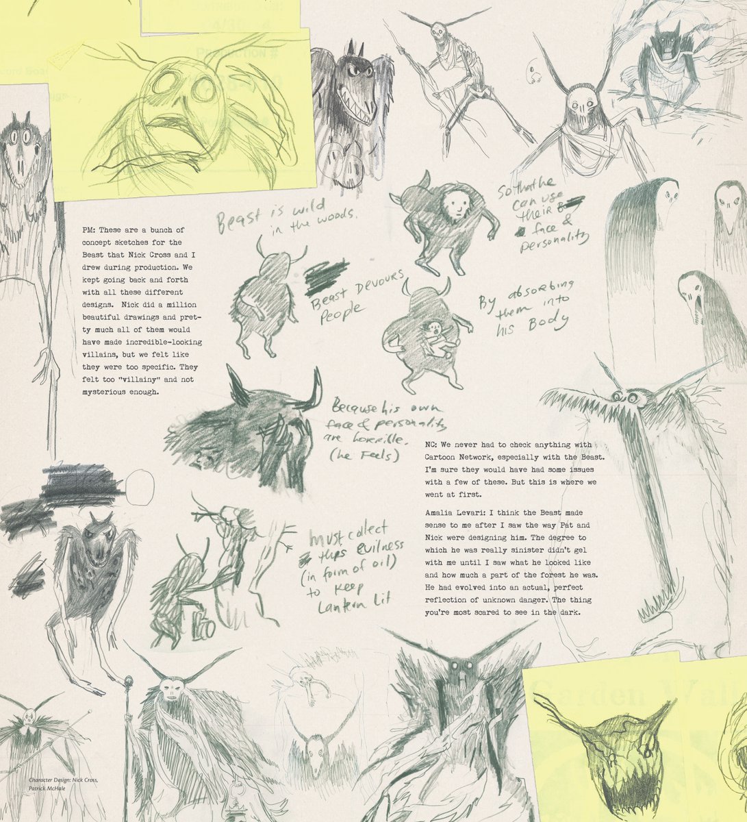
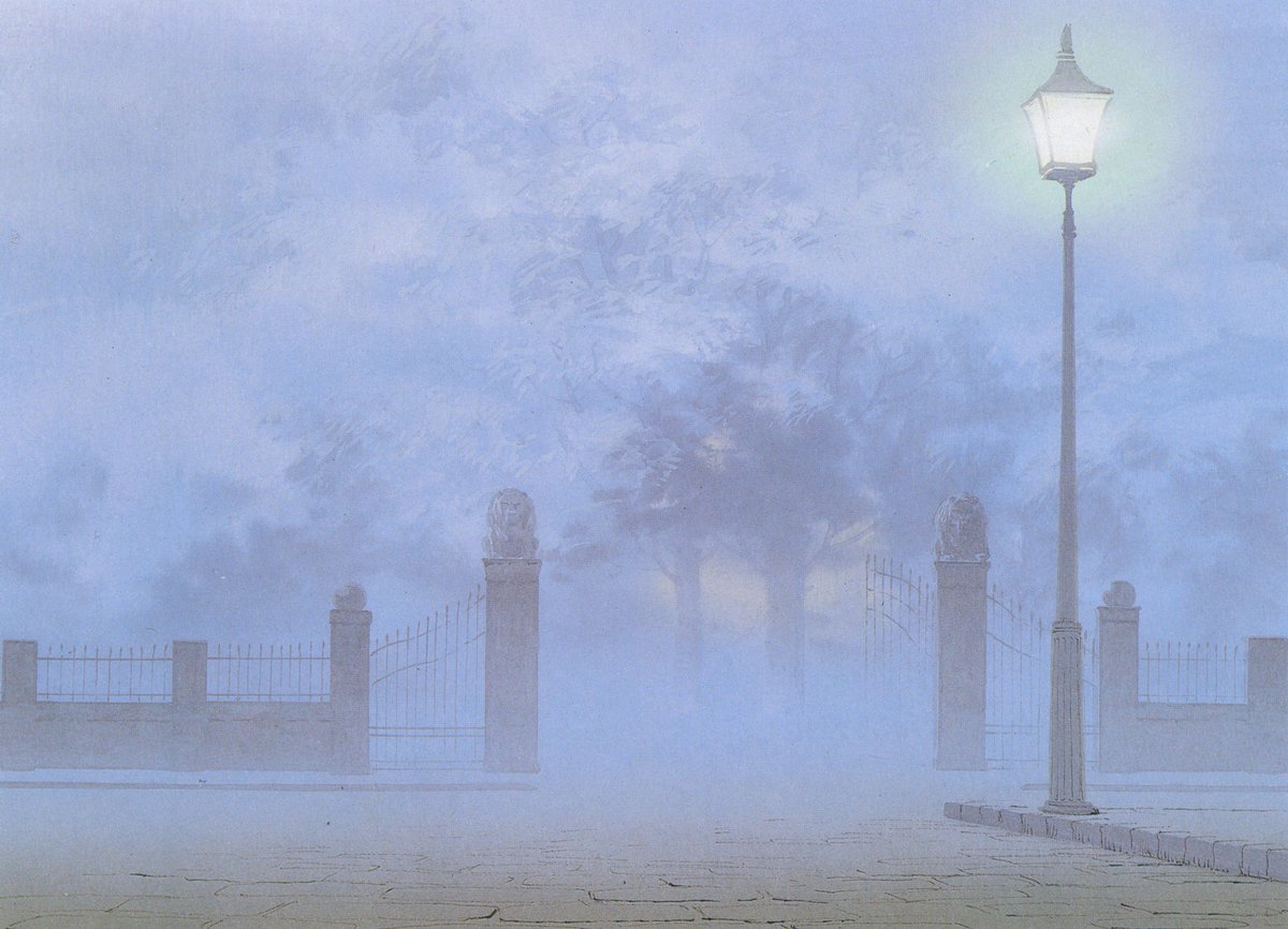
The Art of Over the Garden Wall


1
147
1,003
21,900

Cristinaꪔ̤̮ retweeted

Jun 11
Appreciating the legendary Seiun Award-winning art of Hitoshi Yoneda

9
555
8,087
405,689

Jun 12
what the hell sure
Jun 11

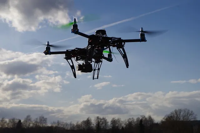
Players of Pokémon Go have been quietly helping build navigation tech that's now heading into military drones, and most of them had no idea.
Since 2021, players scanning locations in the game for rewards created around 30 billion photos and videos of real streets, Niantic used all that player data to train a camera system that can figure out exactly where something is just by looking at its surroundings.
In December 2025, Niantic's mapping spin-off teamed up with a U.S. defense company called Vantor. They're combining this ground camera tech with drone systems so military drones and robots can navigate in places where GPS gets blocked
Players gave Niantic permission to use their scans through the game's rules, but almost nobody knew it could lead to military drone navigation.

1
2
21
4,807
Cristinaꪔ̤̮ retweeted

Jun 11
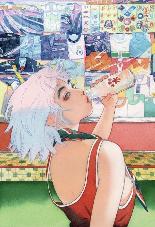
Some dreamy artworks by Little Thunder (IG)
2
354
3,682
99,553


Cristinaꪔ̤̮ retweeted

come to our irl indie animation event !! free to attend walking distance, you're already in town for Annecy!
19
334
1,792
175,595

Cristinaꪔ̤̮ retweeted

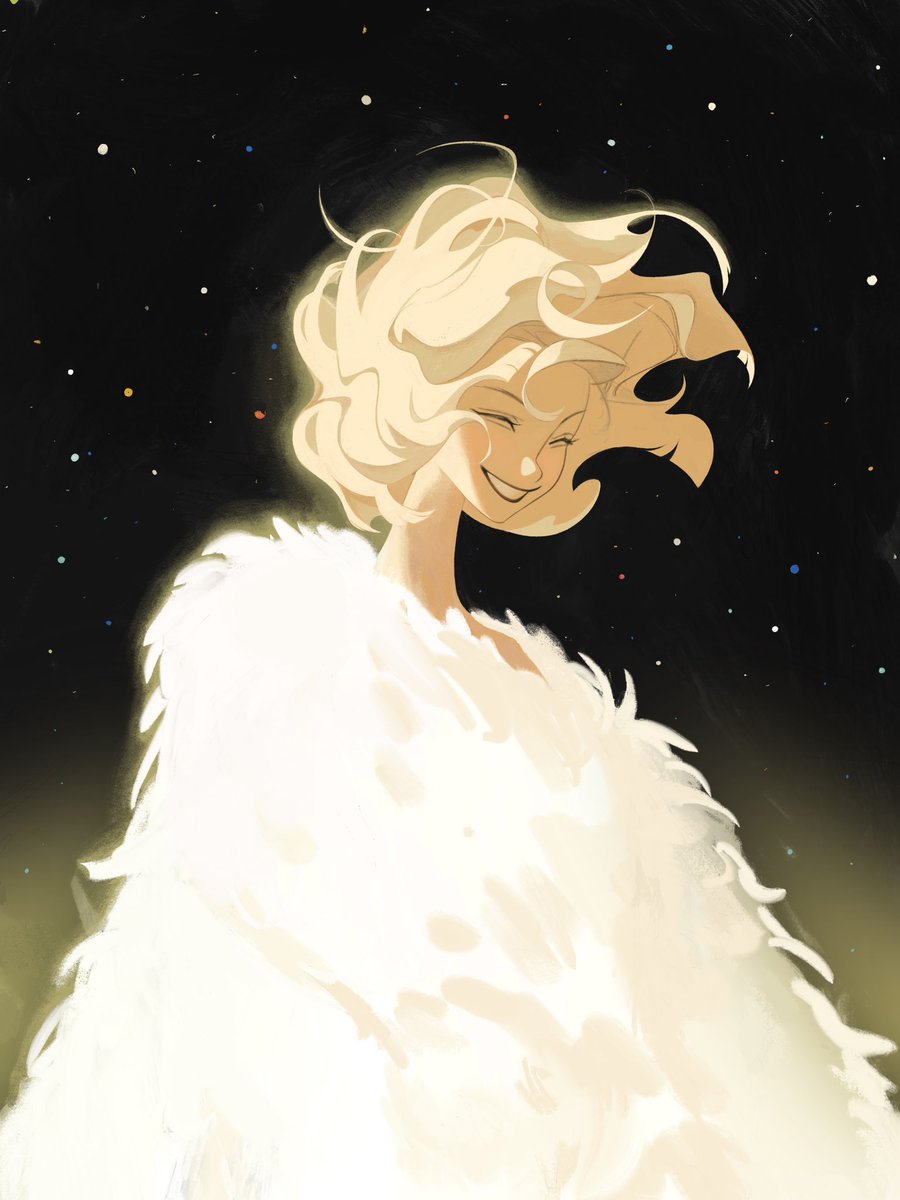
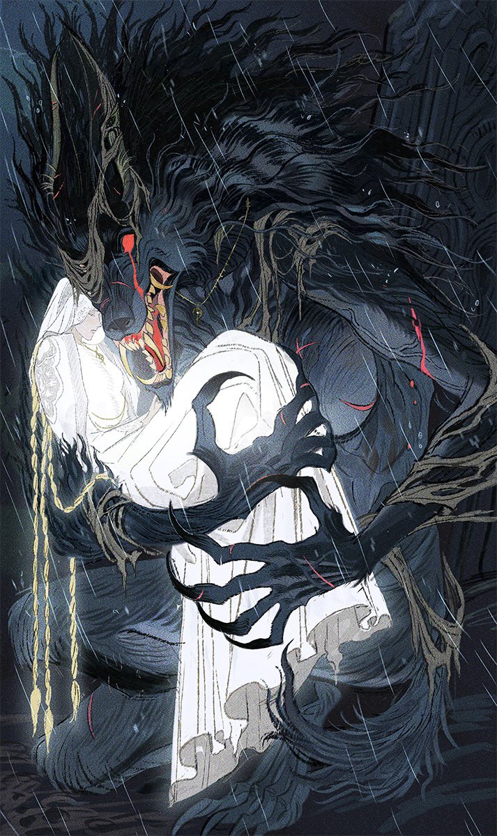
Shewolf and her maiden
72
12,739
93,744
796,323


Cristinaꪔ̤̮ retweeted
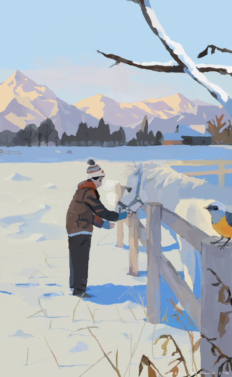
Paintings by Nizo Yamamoto for Sherlock Hound (1984–1985), dir. Hayao Miyazaki and Kyosuke Mikuriya, Tokyo Movie Shinsha


2
668
4,003
111,360
Cristinaꪔ̤̮ retweeted

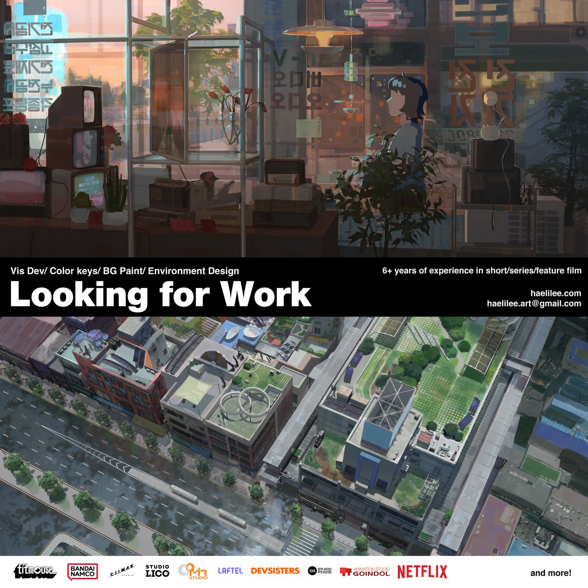
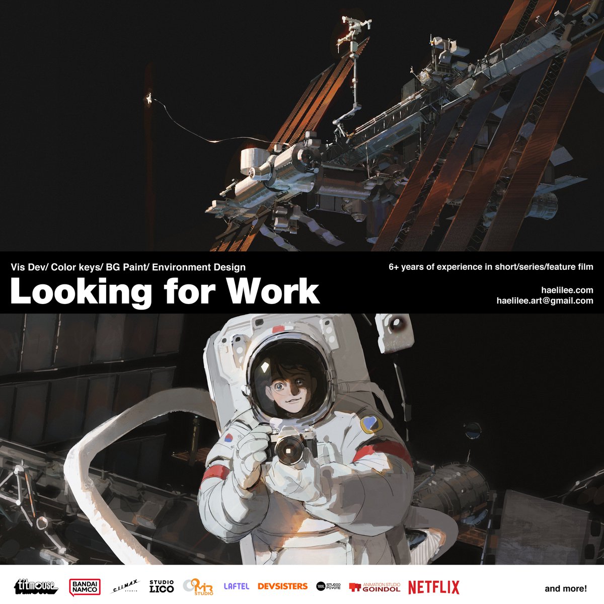
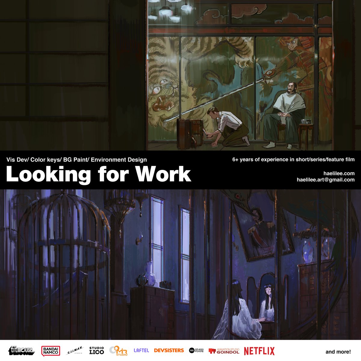
May 26
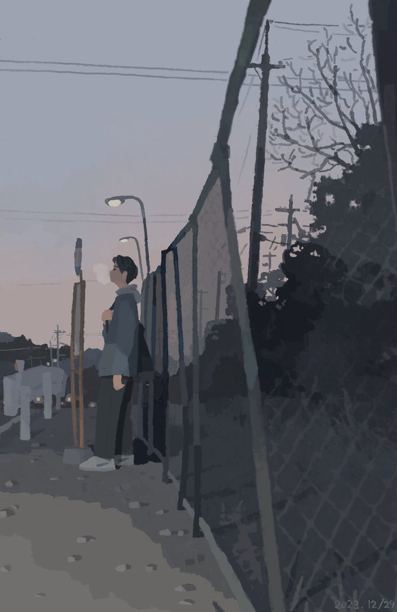
Hi! I am officially job hunting again! I'm an artist that has 6 years of experience within the animation and I especially love to capture stories and emotion through light and color.
Email me if you want access to the nda works!
haelilee.com/
haelilee.art@gmail.com
6
269
2,206
83,367
Cristinaꪔ̤̮ retweeted

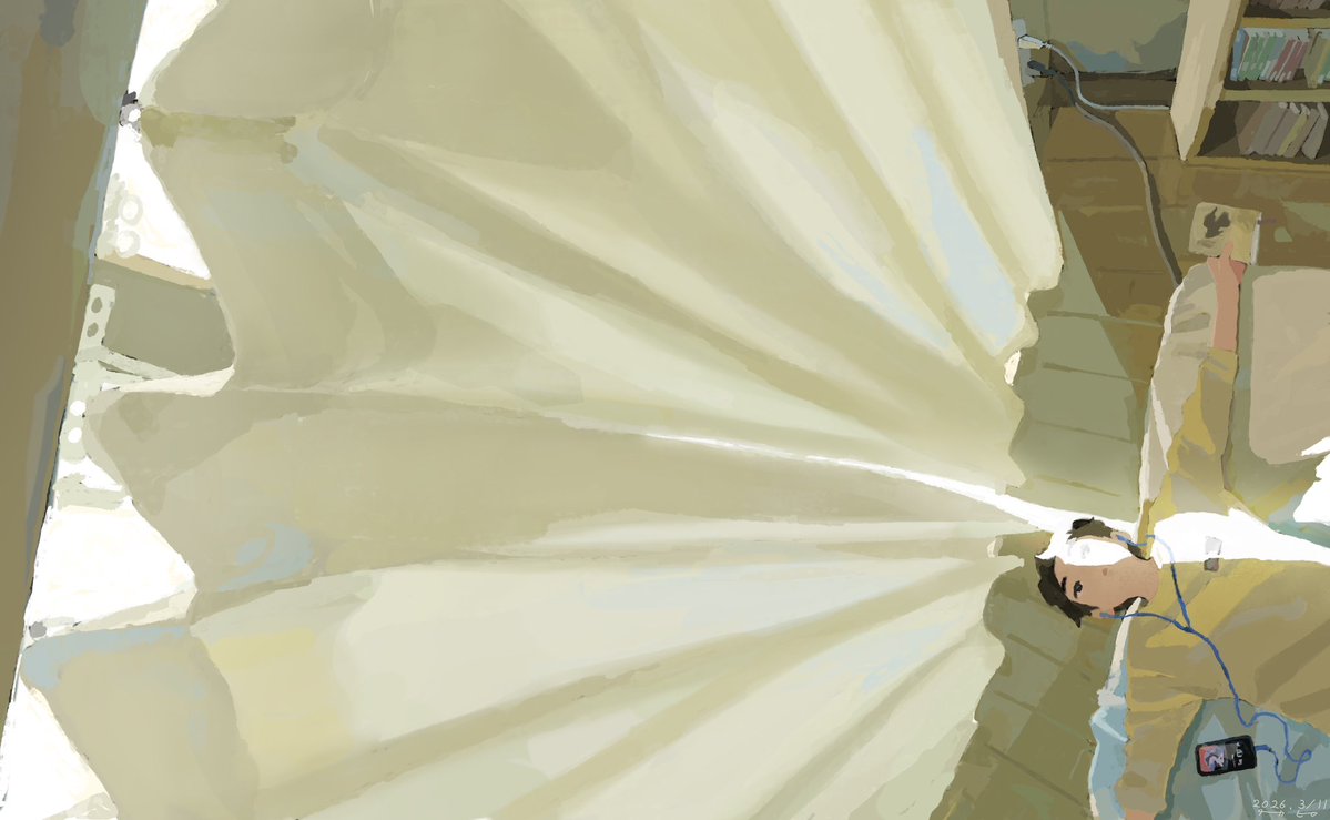
May 22
hello i just graduated from calarts with a character animation bfa - im looking for freelance/full time work!
🔗 disasterzoo.net
📧 esthergzhu@gmail.com
9
321
3,983
70,504
Cristinaꪔ̤̮ retweeted

May 7
life is full of cool and fun creatures

73
4,291
33,319
552,792