
Project adviser @REA_research, working Environmental Observation, Horizon Europe cluster 6, EuroGEO. My views are personal. RT≠ endorsement
Joined November 2010
- Tweets 322
- Following 338
- Followers 378
- Likes 607
33 Photos and videos


Erwin Goor retweeted

15 Dec 2025
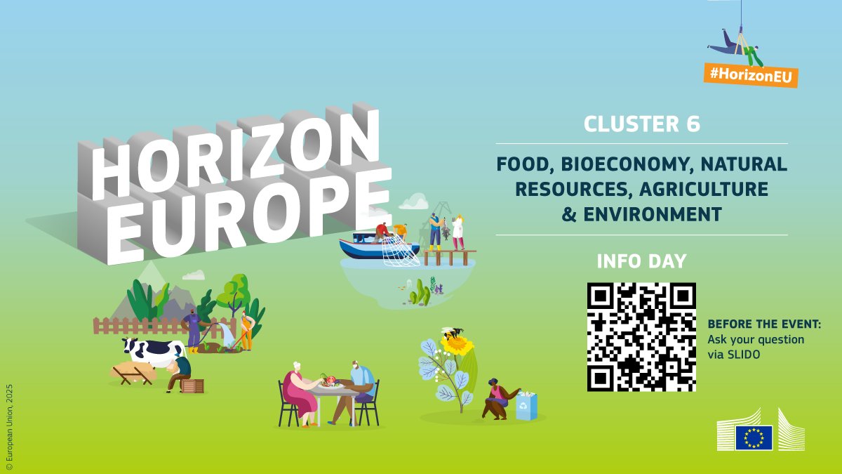
The EU will invest €1.3 billion in green research & innovation under the #HorizonEU Work Programme 2026-2027.
€676.4 million of the budget will be available under the 2026 calls for proposals.
Find out more at the Cluster 6 Info Days in January 👉 europa.eu/!bHUYQP
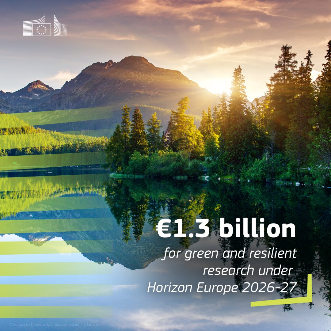
ALT €1.3 billion for green and resilient research under Horizon Europe 2026-27
5
16
31
2,408
Erwin Goor retweeted

21 Nov 2025
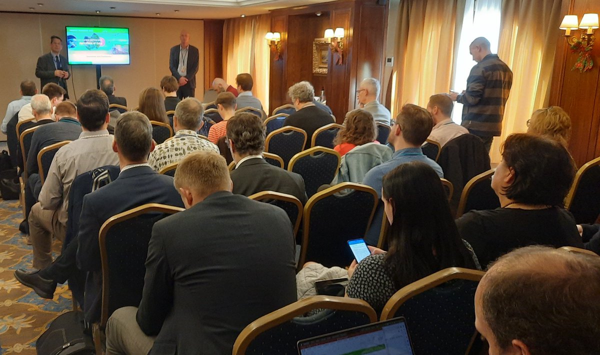
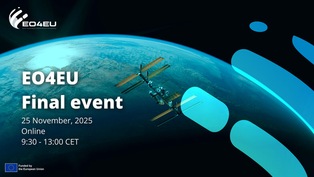
🌍 @EO4EU Final Event | Online | 25 November 2025
An important milestone event highlighting how EO4EU supports research, policy, and innovation through improved access to Earth Observation services.
👉 Register here: eo4eu.eu/form/eo4eu-final-ev…
4
8
447
Erwin Goor retweeted

8 Oct 2025
💧 From flood alerts to mosquito control, #EUfunded researchers are transforming Earth observation data into life-saving tools.
Could tracking mosquito breeding from space prevent the next epidemic? 🔗 bit.ly/4nDERtZ
#Science4EU #ResearchImpactEU
1
2
6
470

8 Oct 2025
Congratulations👇! An excellent way to ensure long-term impact. Let's discuss next week at #EGW2025 #oneEuroGEO @EuroGEO_eu
8 Oct 2025

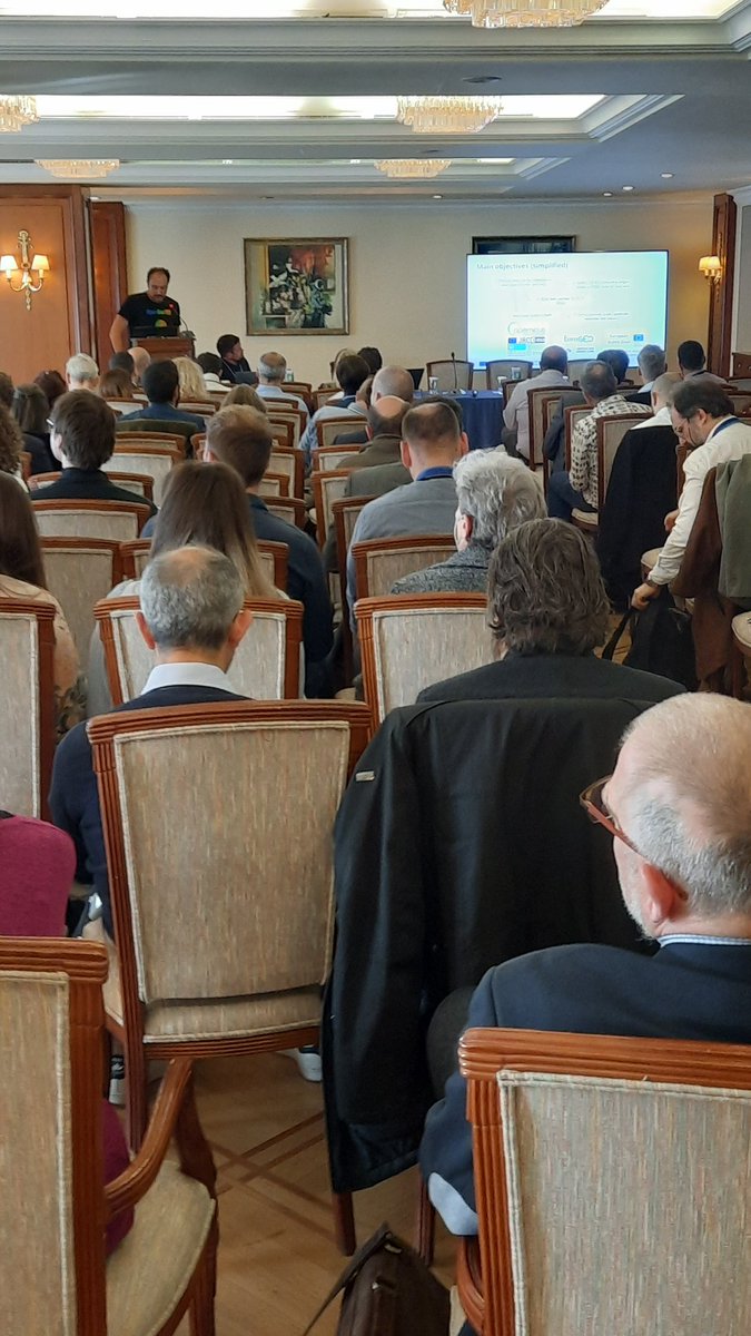
📢 New #OPEN EO Landsat data on #CDSE: one of the main objectives of the @REA_research Horizon Europe @EarthMonitorOrg project is producing Analysis-Ready (ARD) and Decision-Relevant (DRD) Data that is open, cloud-optimized and complete, consistent, current and correct (4C-ARCO). In the last 2 years we have put an effort to process the global @UMD_GLAD Landsat ARD 16-day version 2 (doi.org/10.3390/rs12030426) to produce bi-monthly composites for 1997-2024. Thanks to the kind support from @CloudFerro @esa and @landcarbonlab , this data is now available openly and within the Europe's central infrastructure for EO data #CDSE:
browser.stac.dataspace.coper…
This is about 150TB of GeoTIFFs available as 100x100 km tiles (about 18,600 tiles to cover the whole planet) under the CC-BY license. Harmonizing and gap-filling Landsat is not trivial however (doi.org/10.7717/peerj.18585): there are still many artifacts in the data, especially winter months in northern hemisphere (>40 degrees latitudes) still contain artifacts in terms of stripes, snow patterns and similar.
How can you use this data? From the bimonthly bands you can derive a diversity of indices (awesome-ee-spectral-indices.… and indexdatabase.de/db/i.php) and then run time-series analysis to detect long-term trends. Here is an example of how we used Landsat bimonthly product to derive global GPP at 30-m resolution: landcarbonlab.org/insights/g…
The global GPP is then used as input to soil carbon mapping to detect areas of potential carbon gains / losses: world.soils.app.
We are already working on the OpenGeoHub Landsat 4C-ARCO V2 which will be monthly, 16-bit and should have less artifacts / be more consistent. Learn more about how can open Earth Observation change how we monitor and manage natural resources and where how can you access this data: av.tib.eu/publisher/OpenGeoH…
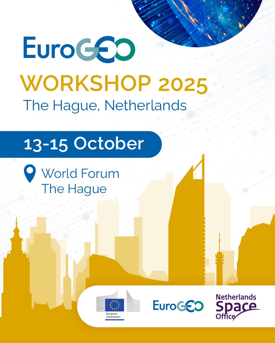
See the data in action, come to the NSO - Netherlands Space Office hosted #EGW2025 event in Den Hague 13-15 October: eurogeosec.eu/egw2025/

3
51
Erwin Goor retweeted
17 Sep 2025
This September, EuroGEO connects the EO community through key conferences & workshops. Stay informed, get inspired, and engage with global experts.
📅 Events calendar: eurogeosec.eu/geoevents.html

2
3
240
Erwin Goor retweeted

15 Jul 2025
🌍 REGISTRATIONS ARE OPEN! Join us in Perugia, Italy, Sept 17–19, for the Open-Earth-Monitor Global Workshop! Connect with experts shaping the future of open environmental data, Earth Observation, and climate solutions.
🔗 Register now: pretix.eu/opengeohubfoundati… #OpenEarthMonitor
2
8
1,074
Erwin Goor retweeted
1 Jul 2025
📢 The EuroGEO Workshop 2024 report is out now!
Let’s remember what we achieved together as #OneEuroGEO and gear up for this year’s workshop in The Hague to COMBINE, COORDINATE, COOPERATE for Europe’s united GEO contribution.
🗂️ Read the full report: eurogeosec.eu/pdf/EuroGEOWor…

1
1
69
Erwin Goor retweeted
24 Jun 2025
📣 Registration for #EGW2025 is now open!
🗓️ 13–15 Oct | The Hague
🌍 Co-design Europe’s EO future for the post‑2025 GEO era
📍 Secure your spot : shorturl.at/4wgGI
Registration closes on September 13, 2025! @NLSpaceOffice @EU_Commission
2
5
7
462
Erwin Goor retweeted
27 May 2025
🚨 Save the Date!
#EuroGEO Workshop 2025
📍 The Hague, Netherlands
🗓 13–15 October
📌World Forum The Hague
Jointly organized by @EU_Commission, the EuroGEO Secretariat & @NLSpaceOffice
7
7
394
Erwin Goor retweeted
8 May 2025
The 2025 calls for green research projects under #HorizonEU will open later this month.
Join the Info Days on 20-21 May for more information on the topics & tips for successful proposals.
Send us your questions through Slido & get your voice heard 👉 europa.eu/!bHUYQP
11
31
3,579
Erwin Goor retweeted

8 May 2025
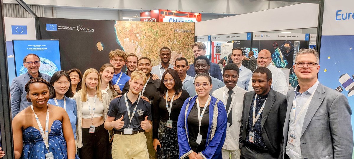
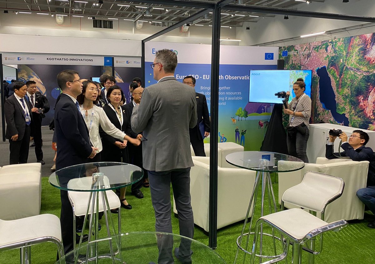
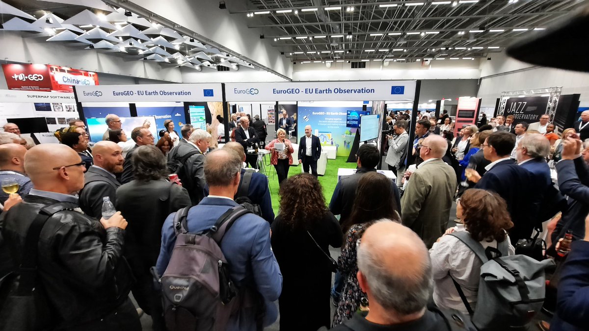
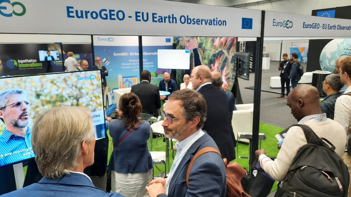
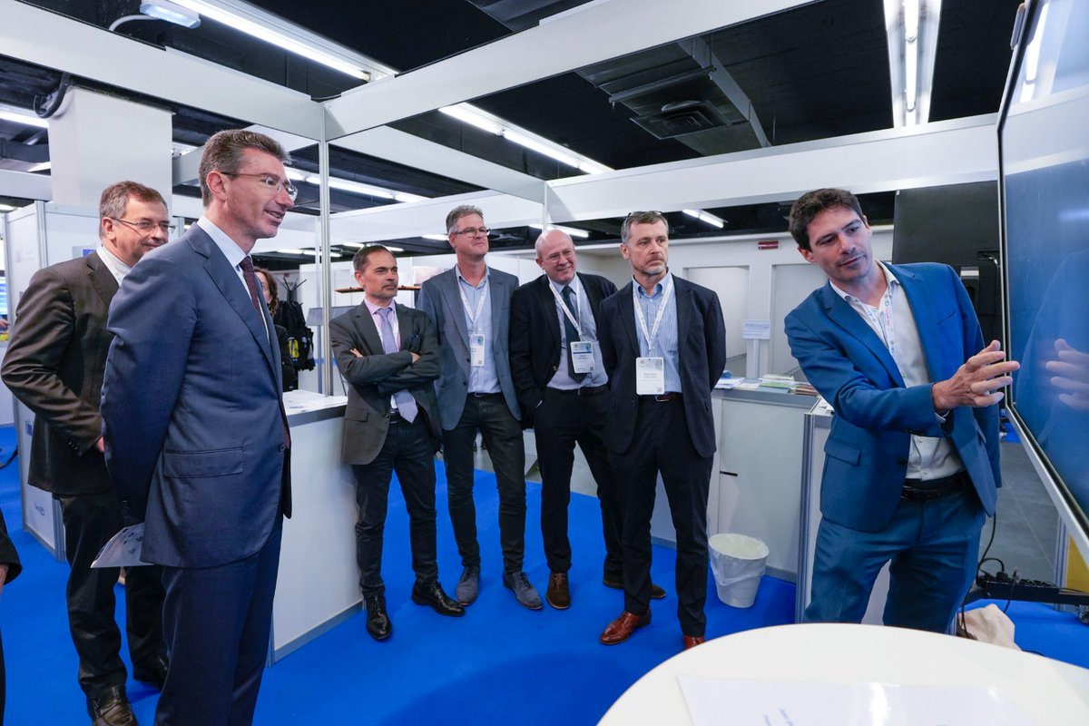
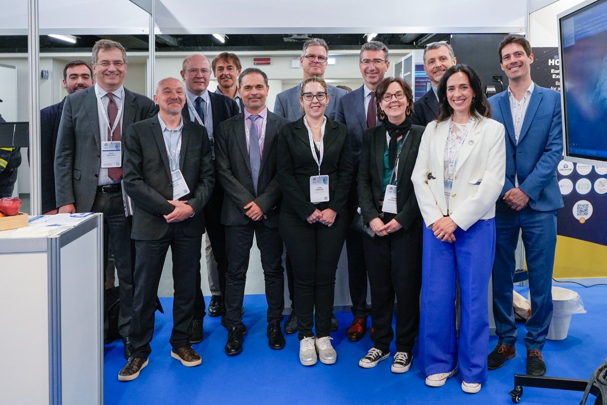
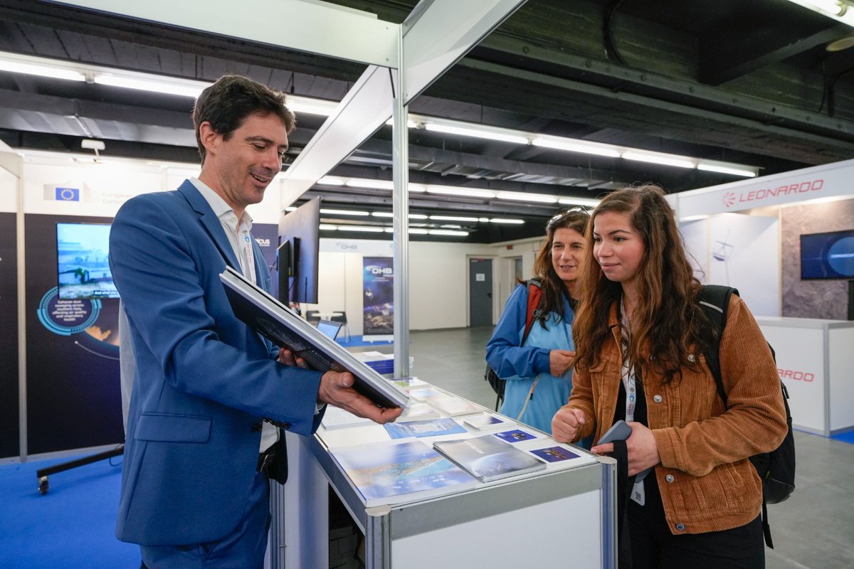
The #GEOGlobalForum2025 is buzzing, and the EU Booth is still a hub.
With Earth Observation & global co-op in focus, we showcased solutions on resilience, health, agri & more.
Great to welcome DG RTD's Marc Lemaître to explore the #CopernicusEU map!
Check for more @EuroGEO_eu!

1
2
6
659
Erwin Goor retweeted
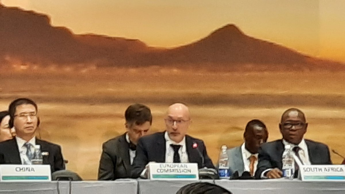
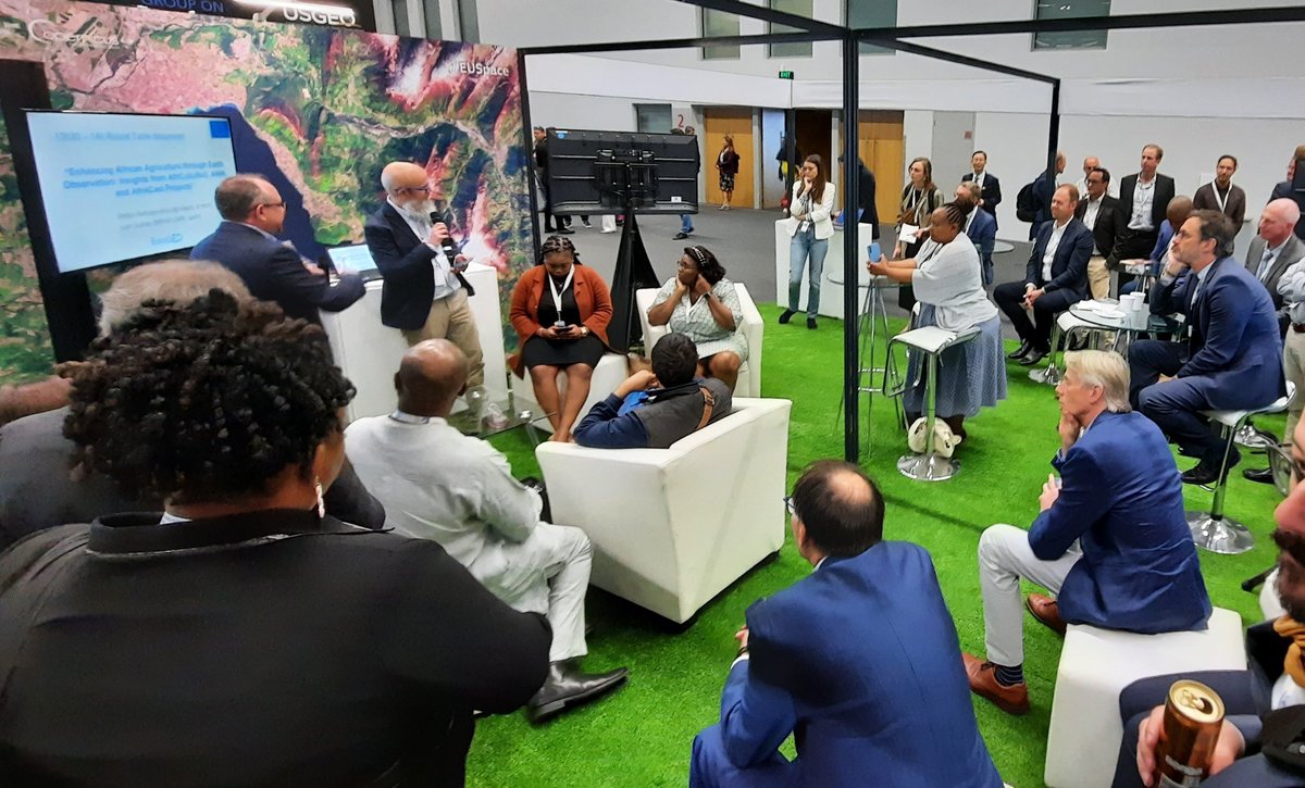
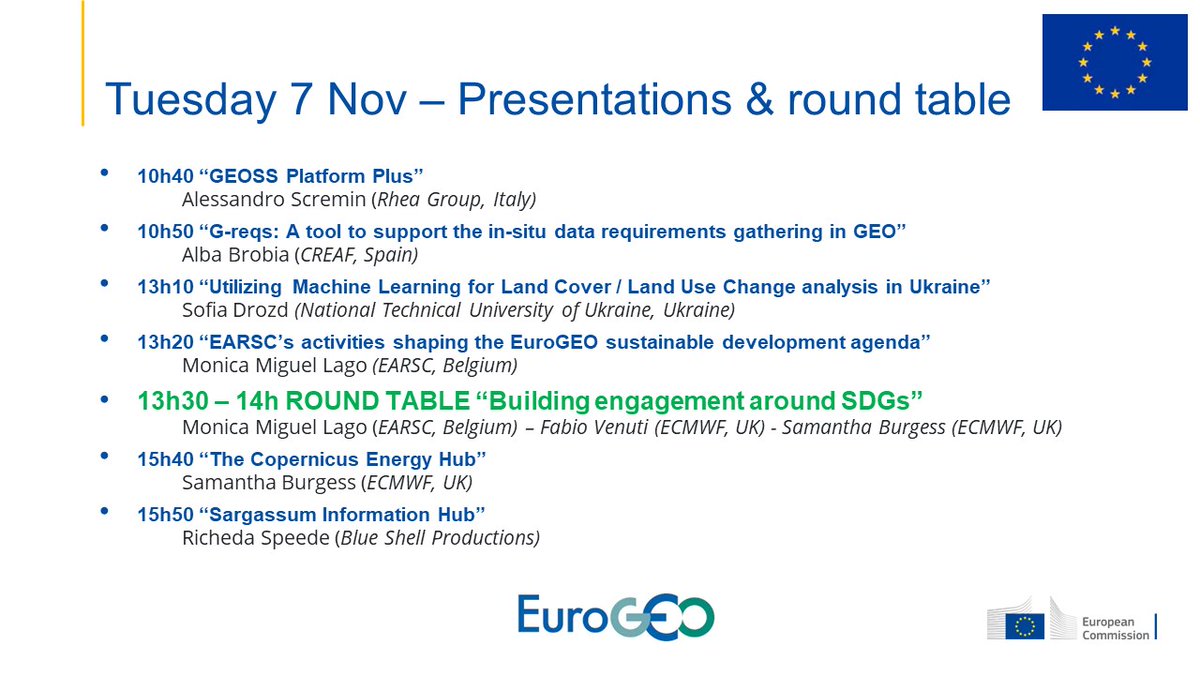
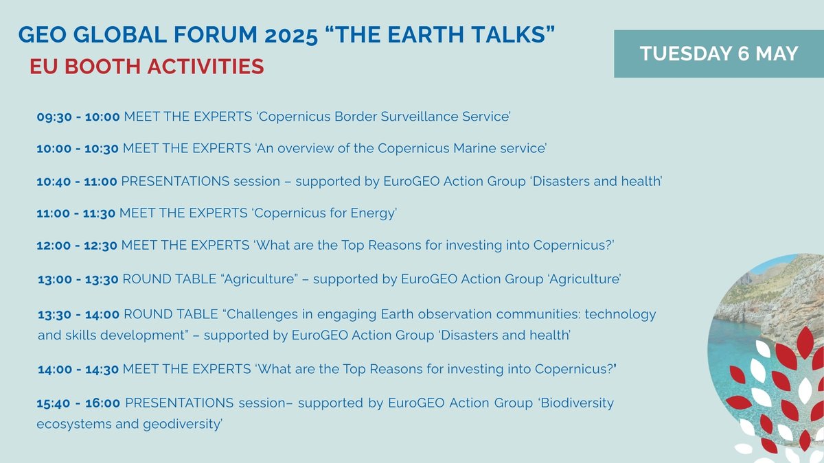
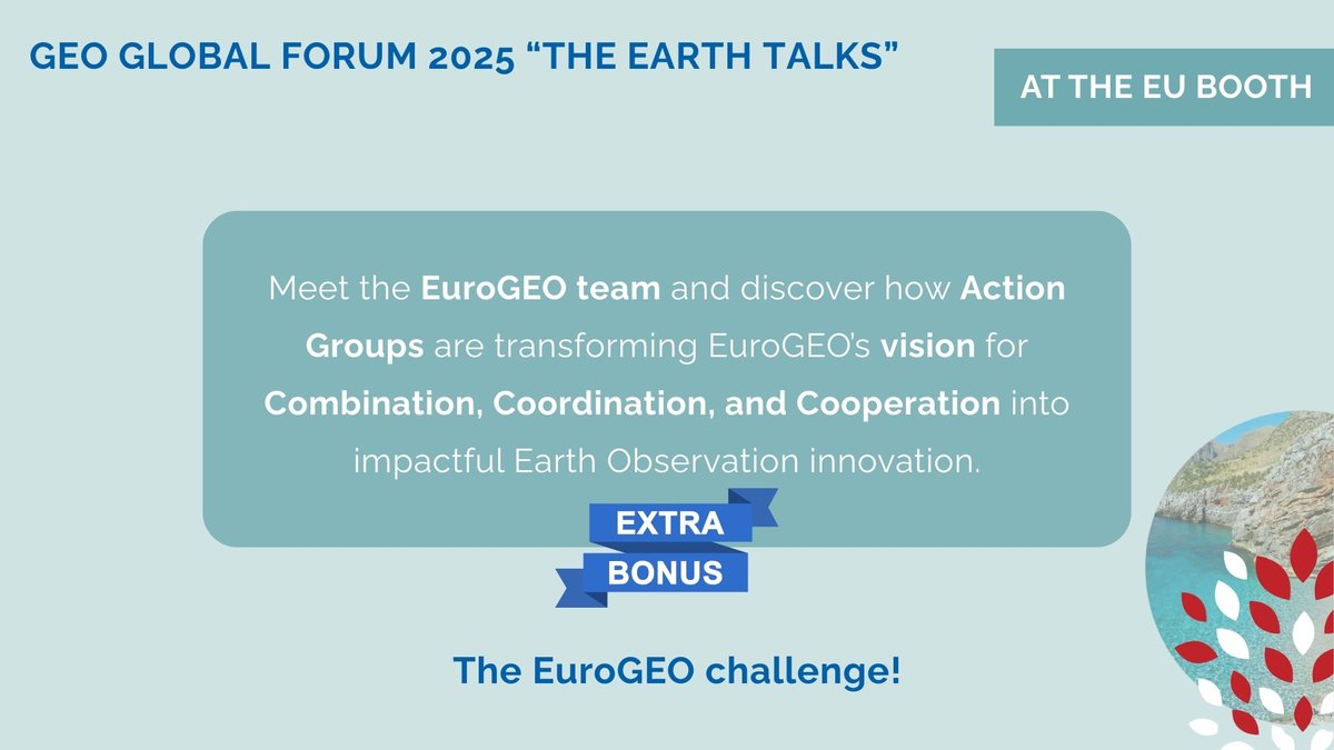
6 May 2025
🗓 Day 2 – packed with hands-on insights on EO for agriculture, disasters, health, energy, biodiversity, border surveillance & more!
👥 Join the discussions led by our Action Group leaders and connect with #Copernicus experts.
🔗 shorturl.at/Mwtqp
2
3
219
Erwin Goor retweeted
28 Apr 2025
🌍 Visit the EU booth at #GEOGlobalForum 2025 in Rome (5–9 May)!
🔹 60 Horizon projects
🔹 Copernicus insights & EuroGEO experts
🔹 Earth Intelligence in action
🔗 shorturl.at/qPmNR
1
3
5
142
24 Apr 2025
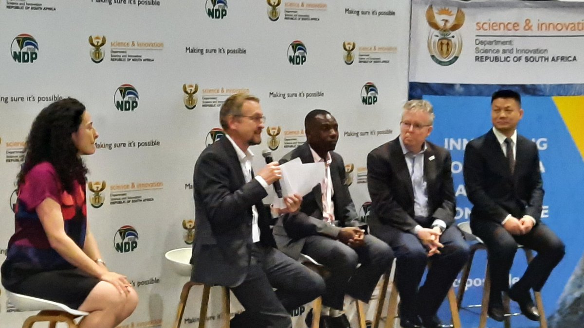
Join us at the EU booth at the GEO Global Forum 👇. Discover the programme of activities at our booth here below.
14 Apr 2025

🌍 Get ready – GEO Global Forum 2025 is coming!
📍 Join us at the EU Booth in Rome (5–9 May)
✨ EuroGEO takes the spotlight with a special space and a real challenge for you!
Explore 60 Horizon projects, Copernicus insights, and more:
👉 More info: rea.ec.europa.eu/events/geo-…
5
53
Erwin Goor retweeted
21 Mar 2025
🚀 Our OEMC project is featured in @CORDIS_EU 's Results Pack on “Advancing FAIR & Open Environmental Data”! 🌍🔍 Read how we’re making Earth monitoring easier & more accessible. Full article in 6 languages: 🔗 cordis.europa.eu/article/id/…
#FAIRData #OpenScience #OEMC #CORDIS
3
13
598
Erwin Goor retweeted
17 Mar 2025
🌍 Are you part of a European Earth Observation project? Share your work with EuroGEO.
📩 Contact us at contact@eurogeosec.eu to feature your project.
More details: eurogeosec.eu
1
5
7
453
Erwin Goor retweeted

12 Mar 2025
👥Read more about how the AURORA Ambassador Programme is becoming crucial to the AURORA exploitation plan.
🔗aurora-h2020.eu/2025/03/06/t….
@AURORA_UPM @AURORA_UEvora @AuroraLjubljana @AURORA_FOD @AURORA_Aarhus
2
2
65
Erwin Goor retweeted
12 Mar 2025
🌍 Are you part of a European Earth Observation project?
Do you have key findings, important updates, or upcoming events to share? Share your work with EuroGEO.
📩 Reach out to contact@eurogeosec.eu
🔗 More details: eurogeosec.eu

4
9
369

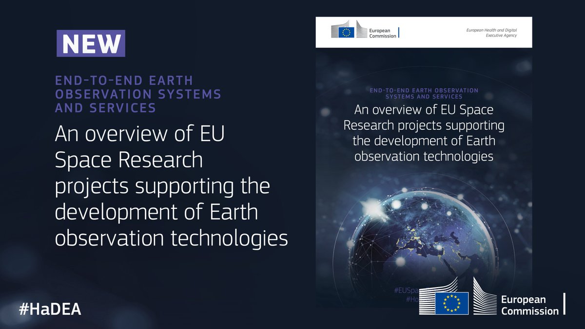
🛰️ New publication! HaDEA has published “End-to-end Earth observation systems and services: an overview of EU Space research projects supporting the development of Earth observation”
➡️ Download the publication: europa.eu/!WRYPbF
#EUSpaceResearch #EUSpace #SpaceInnovation
2
2
4
425
18 Feb 2025
Don't miss this opportunity 👇 CU in Rome soon! @EUgreenresearch
18 Feb 2025
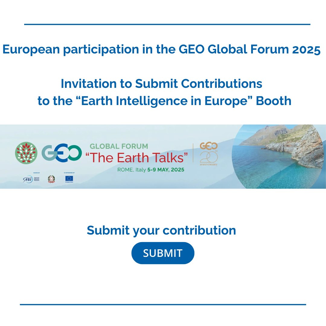
🚨Call for European Contributions to GEO Global Forum 2025 in Rome!
#Booth_Submissions
🟠Are you🫵🏼ready to shape the future of Earth Intelligence?
⏰Submit your interest by February 28 ec.europa.eu/eusurvey/runner…
More details 👉🏼eurogeosec.eu/new_single.htm
1
4
86