
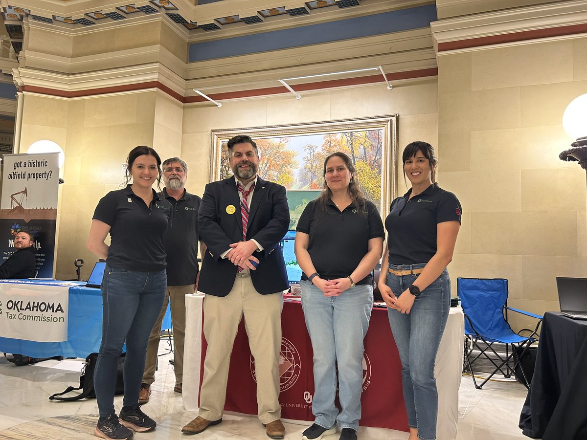
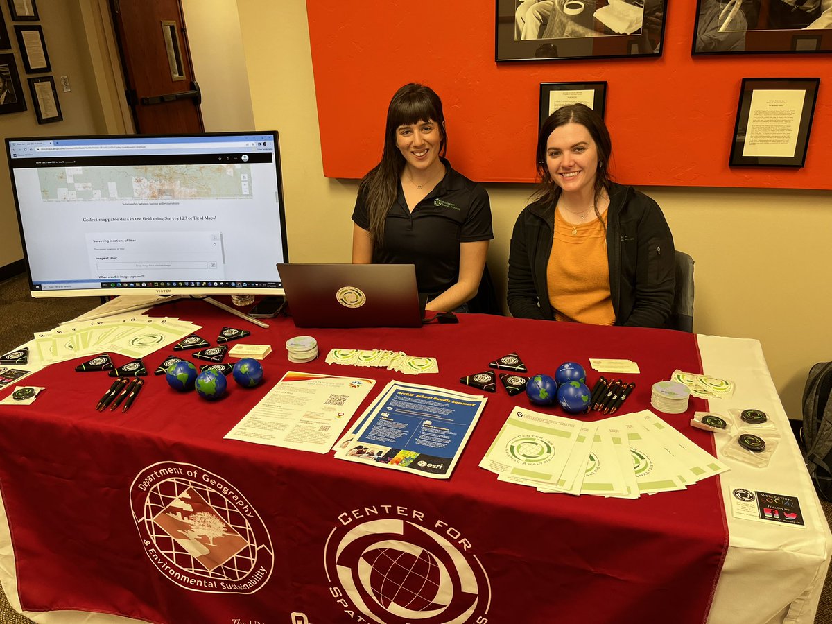
The Center for Spatial Analysis (CSA) is an applied geospatial technology research and development center housed on the OU-Norman Research campus.
- Tweets 197
- Following 207
- Followers 211
- Likes 417
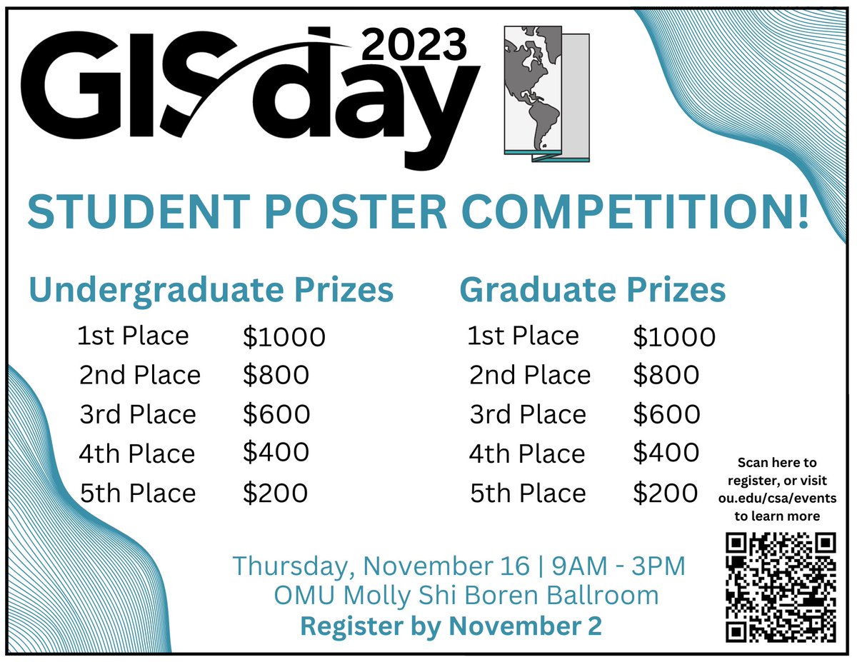
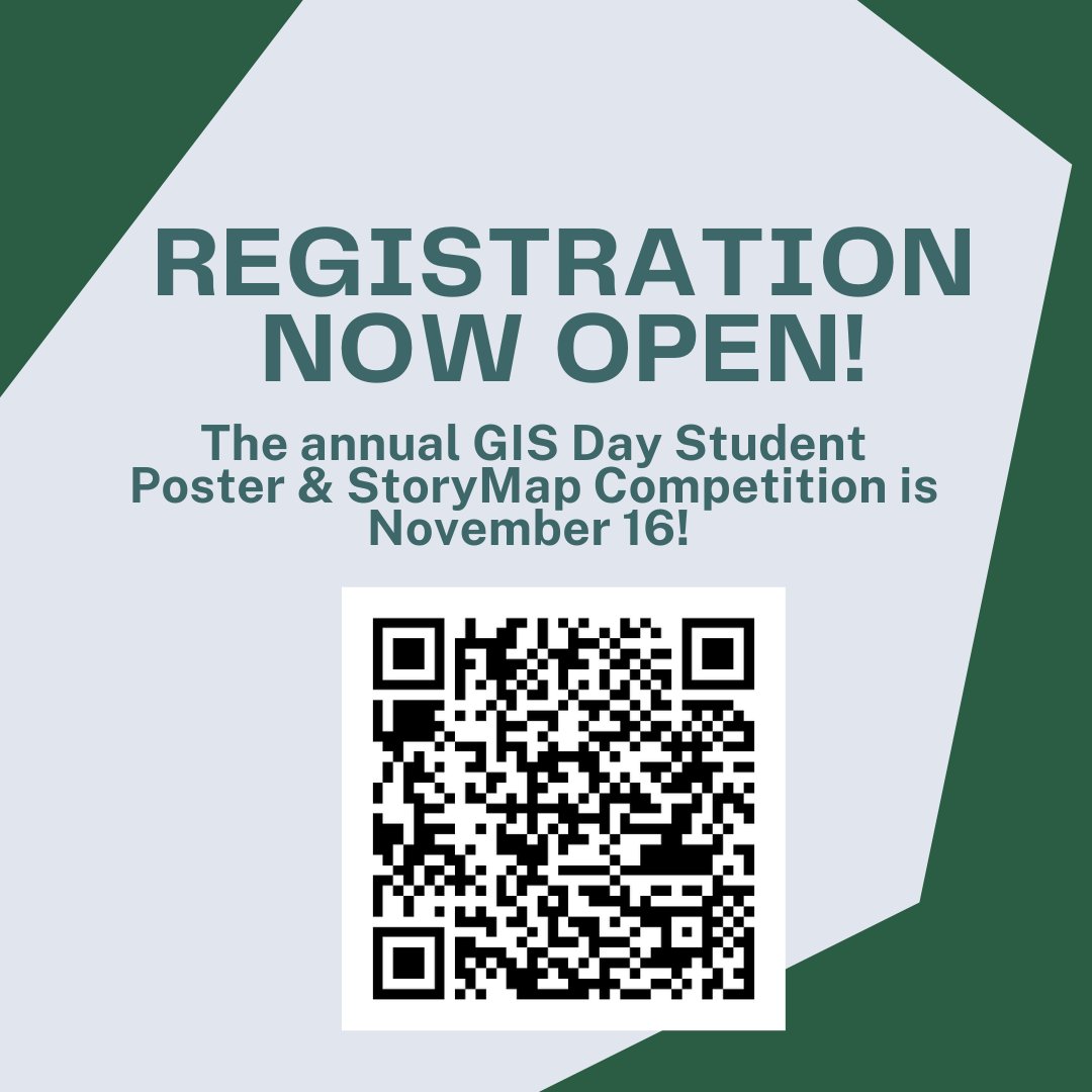


ALT GIS Day 2023 Student Poster Competition! Undergraduate Prizes: 1st Place: $1000, 2nd Place: $800, 3rd Place: $600, 4th Place: $400, 5th Place: $200. Graduate Prizes: 1st Place: $1000, 2nd Place: $800, 3rd Place: $600, 4th Place: $400, 5th Place: $200. Thursday November 16, 9am - 3pm. OMU Molly Shi Boren Ballroom. Register by November 2. Scan the QR code or visit ou.edu/csa/events to learn more.
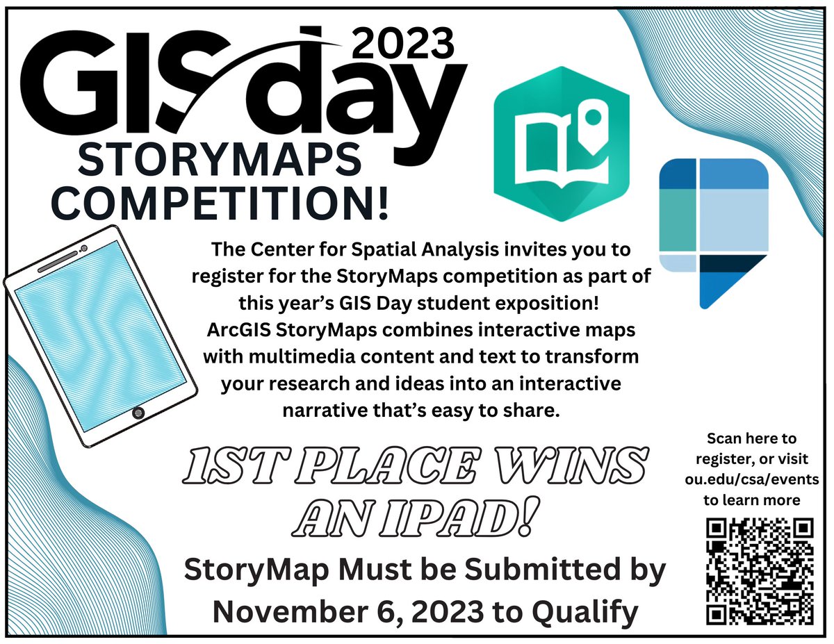
ALT GIS Day 2023 StoryMaps Competition! The Center for Spatial Analysis invites you to register for the StoryMaps competition as part of this year's GIS Day student exposition! ArcGIS StoryMaps combines interactive maps with multimedia content and text to transform your research and ideas into an interactive narrative that's easy to share. 1st place wins an iPad! StoryMaps must be submitted by November 6, 2023 to qualify. Scan the QR code or visit ou.edu/csa/events to learn more.


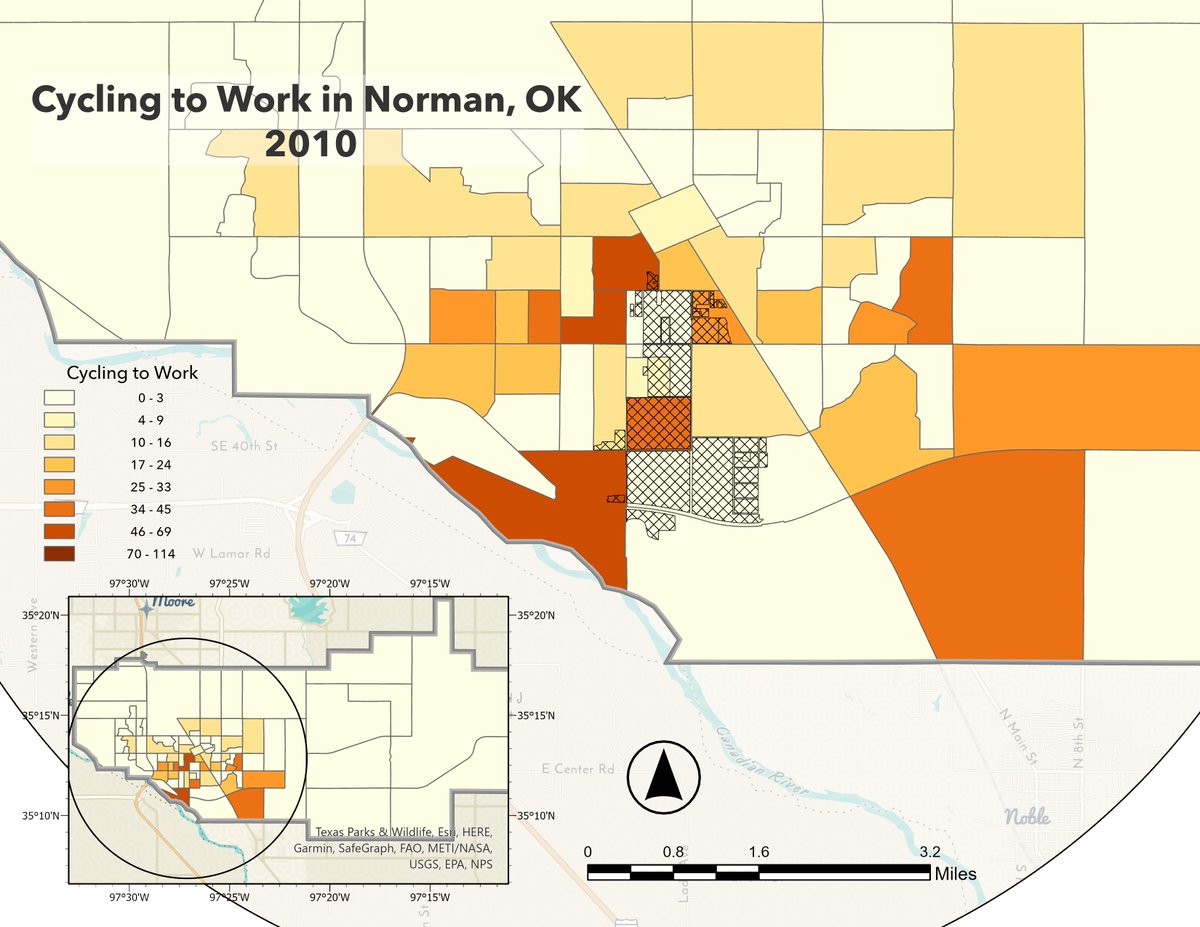
ALT A map of Norman, Oklahoma city limits showing the census block level data of the number of individuals who cycle to work.
ALT Census block level data for Norman, Oklahoma city limits showing the number of people cycling to work in 2010.
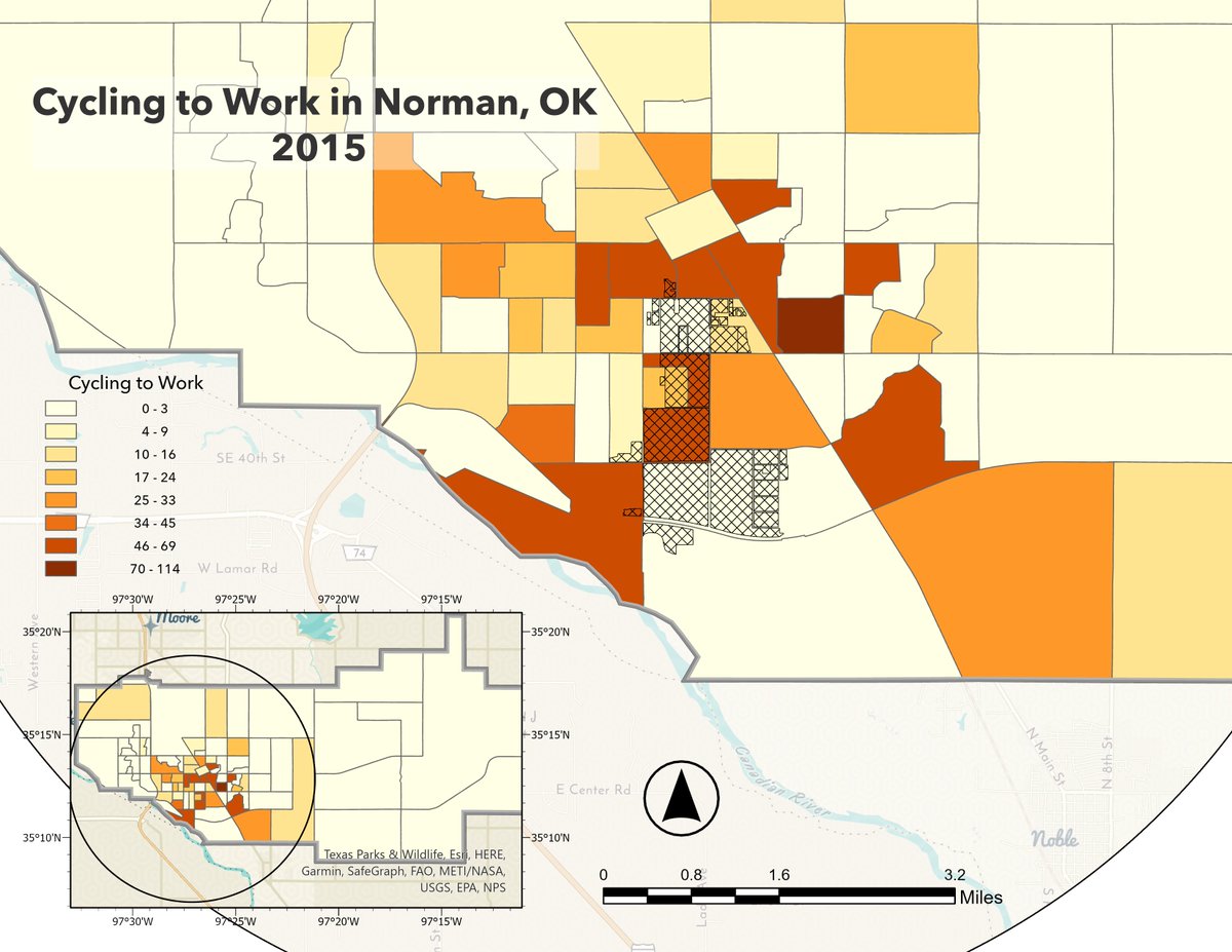
ALT Census block level data for Norman, Oklahoma city limits showing the number of people cycling to work in 2015.
ALT A notepad and pencil on red background with cream colored flowers that reads “Welcome back Sooners!”, There is a cartoon globe walking along the bottom of the page with the OU CSA logo.
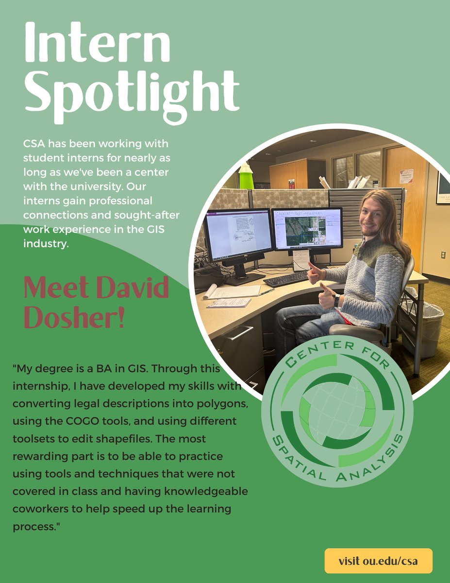
ALT Intern spotlight. CSA has been working with student interns for nearly as long as we've been a center with the university. Our interns gain professional connections and sought-after work experience in the GIS industry. Meet David Dosher! "My degree is a BA in GIS. Through this internship, I have developed my skills with converting legal descriptions into polygons using the COGO tools and using different toolsets to edit shapefiles. The most rewarding part is to be able to practice using tools and techniques that were not covered in class and having knowledgeable coworkers to help speed up the learning process."
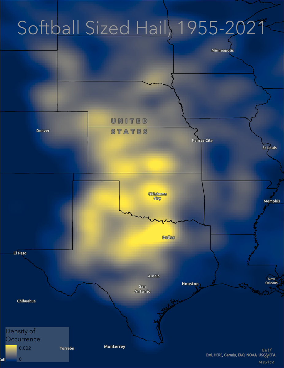
ALT Heat map of the frequency of softball-sized hail in the central US from 1955-2021.
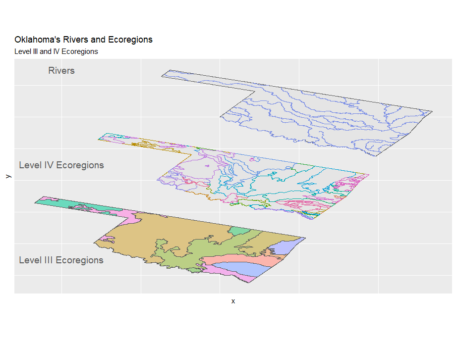
ALT Three maps of Oklahoma are shown. Map 1 shows the state's level 3 ecoregions, map 2 shows level 4 ecoregions and map 3 shows the location of the state's major rivers.