
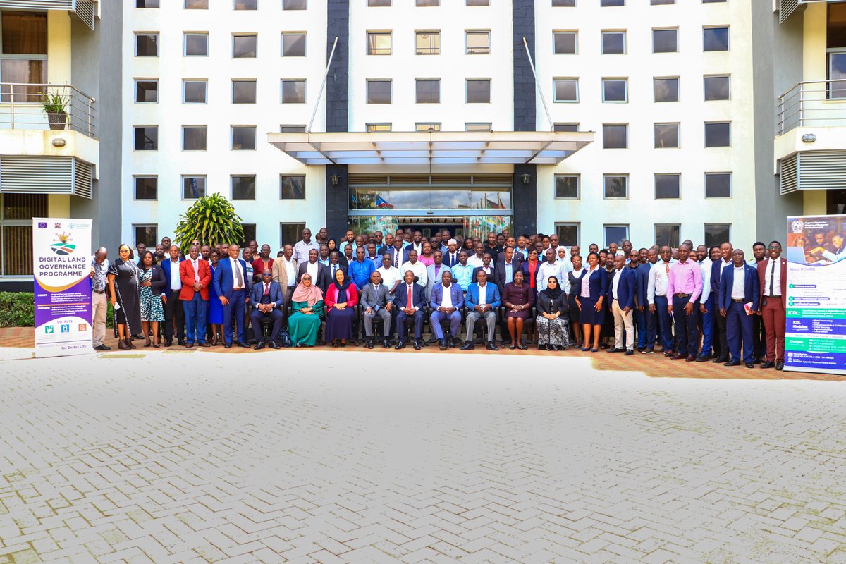
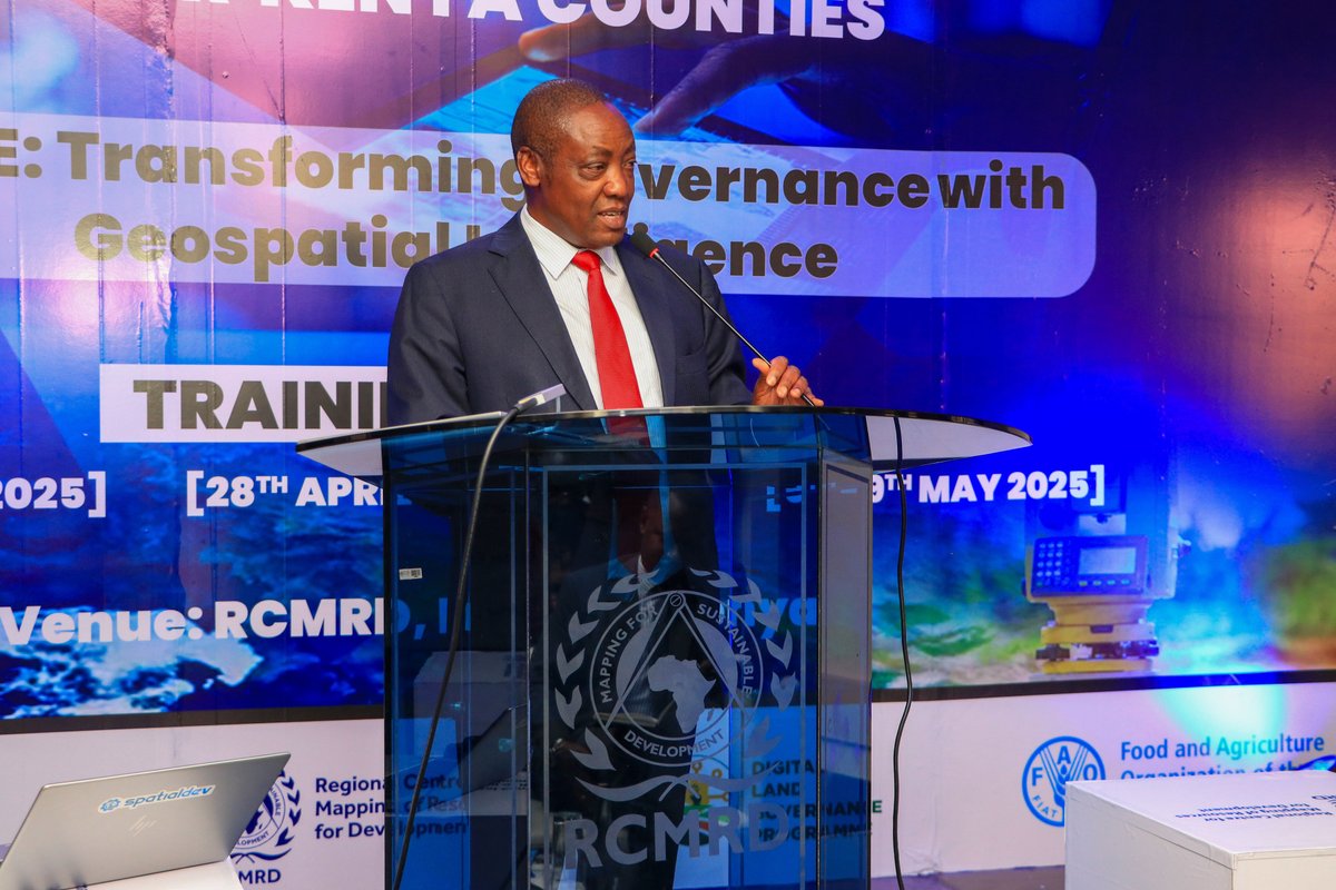
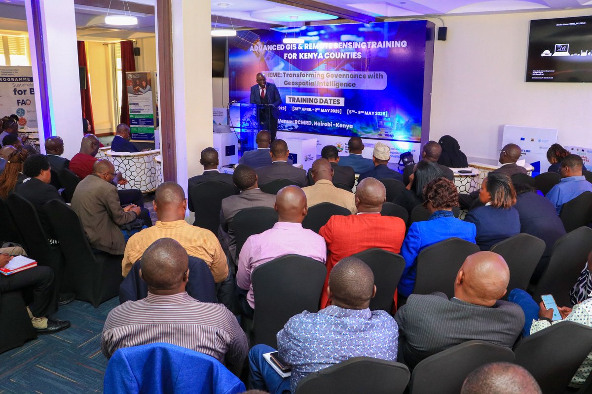
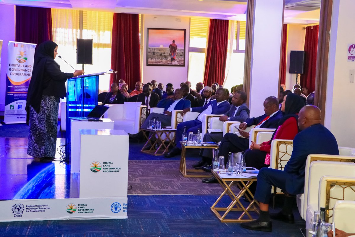
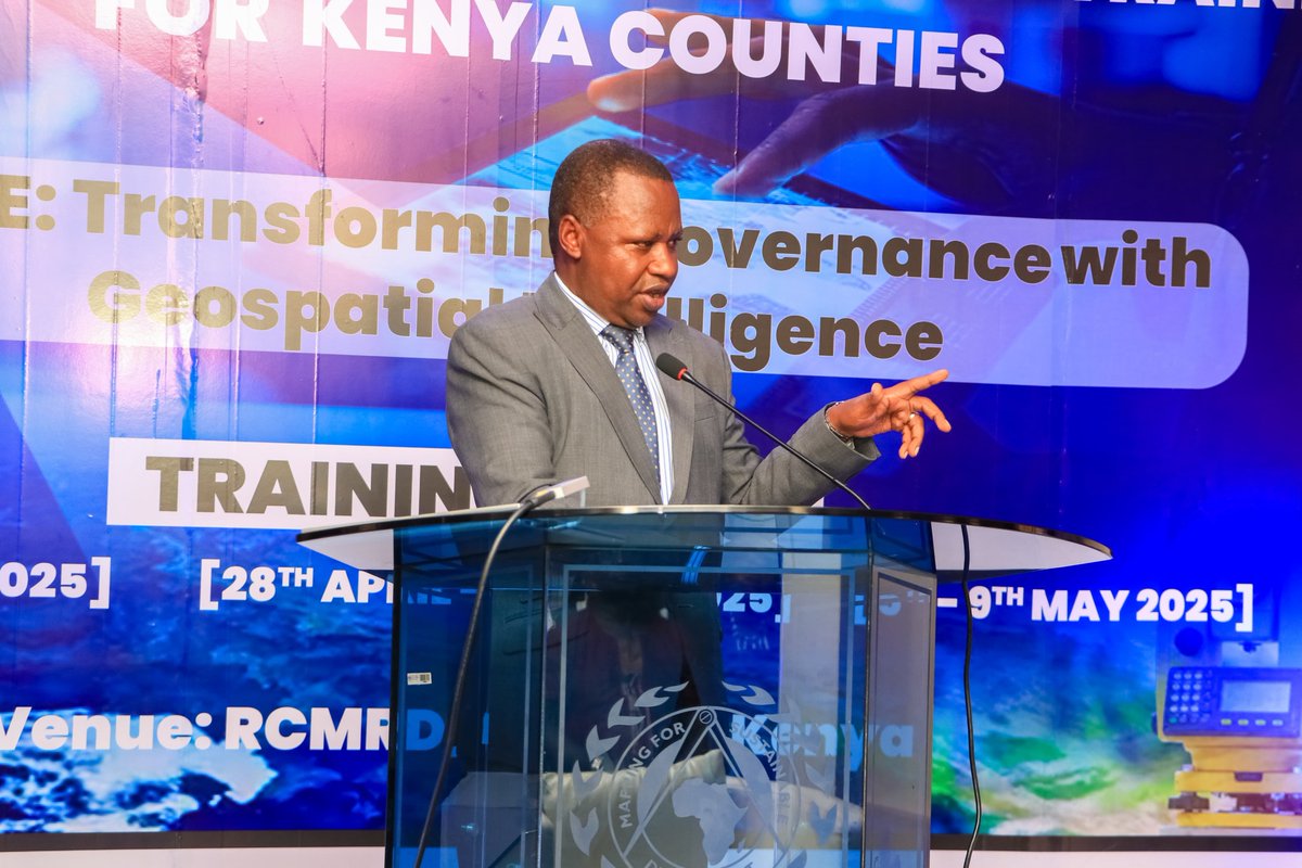
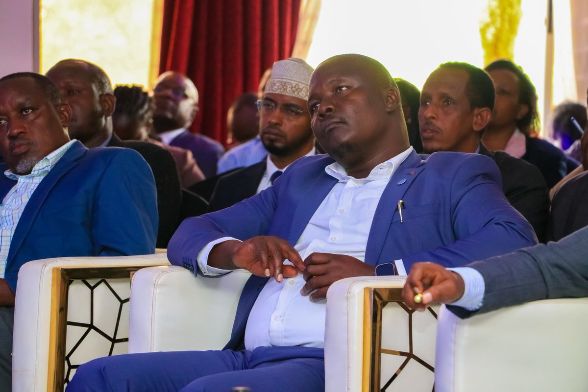
The Advanced GIS & Remote Sensing Training kicked off today at @RCMRD_! This training aims to empower Kenya’s 47 counties with geospatial skills for improved land governance, planning, and service delivery. The training was officially opened by Mr. Gershom Otachi, Chairman of the National Land Commission.
@FAOAfrica @EUinKenya @FAOKenya @KenyaGovernors @NLC_Kenya
#GIS4Development #SustainableDevelopment

3
22
585

14 Apr 2025
The training was officially opened by Mr. Gershom Otachi, Chairman of the National Land Commission, who underscored the importance of geospatial data in driving evidence-based decision-making.
Through this programme, counties will be better positioned to manage natural resources, increase institutional capacity for adoption of GIS solutions, and strengthen data-driven governance.
@FAOAfrica @EUinKenya @FAOKenya @KenyaGovernors @NLC_Kenya
#GIS4Development #SustainableDevelopment
^AS

1
217
14 Apr 2025
The Advanced GIS & Remote Sensing Training for Counties officially kicked off today at RCMRD!
This timely initiative is equipping Kenya’s 47 counties with essential geospatial skills to enhance land governance, spatial planning, and effective service delivery. By building capacity at the county level, the training aims to unlock the full potential of GIS and remote sensing technologies to support sustainable development and resilience.
@FAOAfrica @EUinKenya @FAOKenya @KenyaGovernors @NLC_Kenya
#GIS4Development #SustainableDevelopment
^AS


1
1
3
390

7 Feb 2025
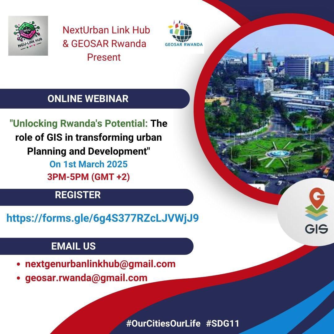
🌍🚀 How is GIS transforming urban planning ? Join our exclusive webinar on Unlocking Rwanda’s Potential: The Role of GIS in Sustainable Urban Development!
📅 1st March 2025 ⏰ 3:00 PM – 5:00 PM 📍 Online
🔗 Register now: forms.gle/UFZgN9vmyzW52RVx7
#GIS4Development #SmartCities
2
5
118

27 Feb 2018
Super proud of my team members and their GIS skills! @RL_Institut @_catcad #GIS4development #abetterworld #SDG7
26 Feb 2018

Use GIS to find your Mini-grid site ow.ly/dAvk30iCMFq #SDG7 #SDGs #globalgoals #minigrids #GIS #tech
4