
8 Jul 2024
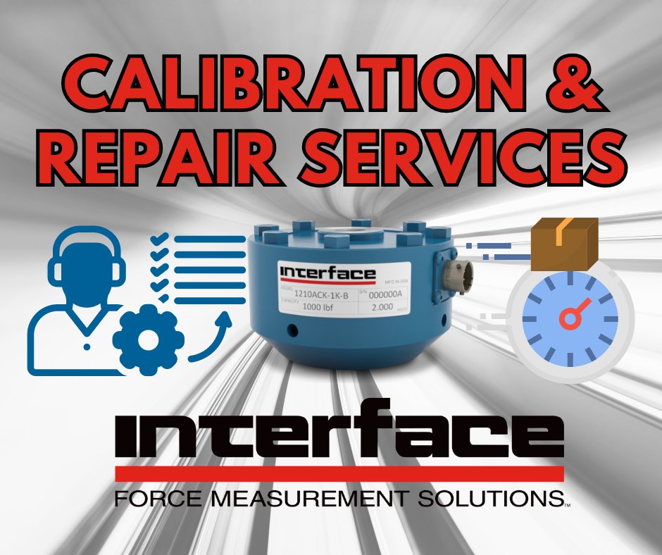
Are you in need of a #loadcell #calibration or repair? 🛠️ We perform more than 100,000 calibrations annually and can help with #repairs on load cells and other force measurement devices from nearly any manufacturer. bit.ly/3L92QQi
#InterfaceServices #CalibrationLab
2
55

31 Aug 2021
Do you need NLS maps or geospatial data? Are you thinking about when to use the interface service and when the file download service?
Here are a few tips for selecting the correct service 👉maanmittauslaitos.fi/en/topi…
#geodata #interfaceservices
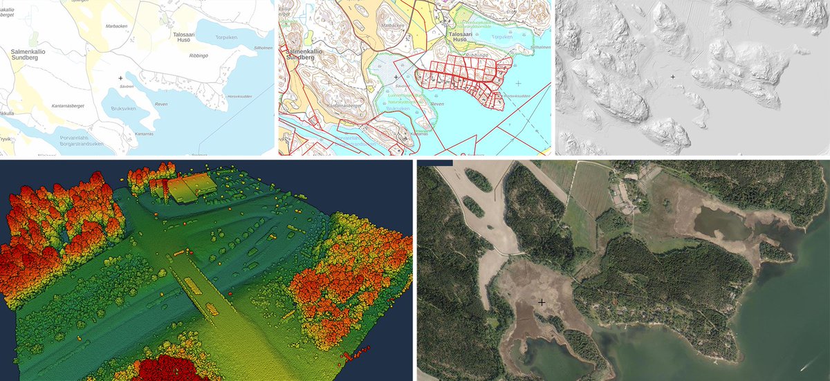
ALT NLS data products: background map, topographic map and cadastral index map, hillsade, laser scanning data and aerial photograph.
2
3

4 Jul 2020
Yay...go us! @CorinnaDennison @SiobhanStynes #patientcare is #priority in #lockdown! 👏🏻
How are other #msk #spinal #interfaceservices finding #remoteconsultations??
#HaywoodHospital @Rachel66Mckeown @hilarymbradbury @NeilCarrMPFT

#DailyShoutOut from Dr Kika Konstantinou: “Many thanks to my exceptionally hardworking Spinal Interface Team at the Haywood for managing 565 remote consultations with patients in just 5 weeks!!!”

2
9

