
Feb 12
@MapmyIndia is pleased to announce the readiness of its High-Definition (HD) Map Data, with full coverage of Expressways and National Highways spanning over 150,000 km.
This milestone, combined with MapmyIndia’s world-class navigation and ADAS software within the NCASE mobility suite for EVs, AVs, SDVs and AIDVs, further strengthens India’s ADAS and autonomous driving ecosystem.
@mappls @MapmyIndia navigation solutions — accurate, fresh, and road-tested across millions of vehicles over multiple years — now offer OEMs a seamless upgrade path: from high-precision navigation to ADAS and autonomous capabilities, powered by SD and HD maps working in conjunction with software, hardware, and sensors.
As vehicles evolve from assisted to autonomous functionality, HD and SD maps form a critical intelligence layer — enabling precise localization, lane-level awareness, contextual road understanding, and predictive safety.
We also thank our partner Prashant AdvancedSurvey LLP for being part of our journey for HD data acquisition in this process.
The future of autonomy is built on precision.
And precision begins with trusted, indigenous maps — powered by Make in India MapmyIndia Maps.
@rakeshverma1950 | @MapmyindiaVerma | @_rohanverma | @sapnaahuja
#HDMaps #ADAS #AutonomousDriving #AutomotiveMaps #LocationIntelligence #IntelligentMobility #AIInAutomotive #MakeInIndia #FutureOfMobility #NavigatingMobilityIntelligently
7
57
268
8,672
Feb 11
We’re proud to be the Maps & Autonomy Partner at ADAS Show 2026, driving the next chapter of intelligent and autonomous mobility.
On 12 February 2026, experience how MapmyIndia is powering ADAS and autonomy with:
- Lane-level ADAS maps for Auto-pilot
- Next-gen Automotive Navigation
- AI Powered Mobility Intelligence
From perception to prediction, from navigation to autonomy — our solutions are designed to enable safer, smarter, and more connected vehicle ecosystems.
Join us for live demonstrations and deep-dive conversations on how India-built geospatial intelligence is accelerating the autonomous future.
See you at the ADAS Show 2026.
@rakeshverma1950 | @MapmyindiaVerma | @sapnaahuja | @rishinkalra
#ADASShow2026 #AutonomousDriving #ADASTechnology #AutomotiveMaps #Autonomy #LaneLevelMaps #IntelligentMobility #AIInAutomotive #ConnectedVehicles #FutureOfMobility #NavigatingMobilityIntelligently

1
12
65
1,842
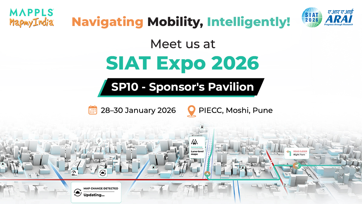
Jan 23
We’re excited to be at SIAT Expo 2026 at SP10 - Sponsor's Pavilion, PIECC, Pune, from 28th–30th January 2026.
At our space, discover how MapmyIndia is enabling connected, assisted, and intelligent vehicle experiences — spanning advanced automotive navigation, lane-level ADAS maps, AI-driven mobility intelligence, fleet solutions, and automotive electronics designed for real-world deployment.
Visit us for a closer look and engaging conversations on where mobility is headed next. We look forward to connecting with you.
@rakeshverma1950 | @MapmyindiaVerma | @sapnaahuja | @rishinkalra | @MonikaJaipuriar
#SIATExpo2026 #AutomotiveTechnology #ConnectedVehicles #IntelligentMobility #AutonomousSystems #ADAS #AutomotiveMaps #LocationIntelligence #AIMobility #FutureOfMobility #NavigatingMobilityIntelligently
3
16
569
Jan 21
We’re at SIAT Expo 2026, bringing a closer look at how maps, AI, and vehicle tech come together in modern mobility.
Experience the next phase of connected and assisted mobility, powered by MapmyIndia’s maps, location intelligence, and auto-tech.
More details coming soon. See you at SIAT Expo 2026.
@rakeshverma1950 | @MapmyindiaVerma | @sapnaahuja | @rishinkalra | @MonikaJaipuriar
#SIATExpo2026 #NavigatingMobilityIntelligently #Navigation #ADAS #AI
3
27
896