
Followers — hope you’re all doing well. April (and now May) has been slammed on the business side for me, with our @intouchLiveHQ event coming up in San Diego on May 18th. I know a few of you will be there. If you’re thinking about going and want a promo code, just DM me.
Alright, let’s get into the weather…
As I’ve been saying, April tried to be March… and now March is about to act like May. Still the cleanest way to describe what’s happening.
Quick recap:
• DTLA: just 0.69” of rain in April
• #SoCal: slightly below normal temps overall
• #NorCal: cooler, more active, legit late-season push
Winter effectively ended mid-March for most (myself included)… but not everywhere. By late March, about 70% of ski resorts were done — I was too, and yeah, I took a hit $ wise, with the closures.
BUT… if you chased in April, you got paid:
• Mammoth Palisades Tahoe: ~100” combined late-season snow
That was your redemption window. By then, my gear was already packed up.
Now — for the SoCal “winter came back” crowd… I don’t know what to tell you.
Inland mountains? Sure, decent at times.
DTLA coast? Basically nothing.
Winter is about sustained cold — real cold — and SoCal never had it this season. A few short bursts here and there, nothing longer than about a week. That’s just reality. If you were in NorCal, Utah, Colorado, or the #PNW in April? Different story — winter showed up again, but even that was inconsistent.
Bottom line: for many spots out West, this was one of the more challenging ski seasons in the past 30 years.
Looking ahead:
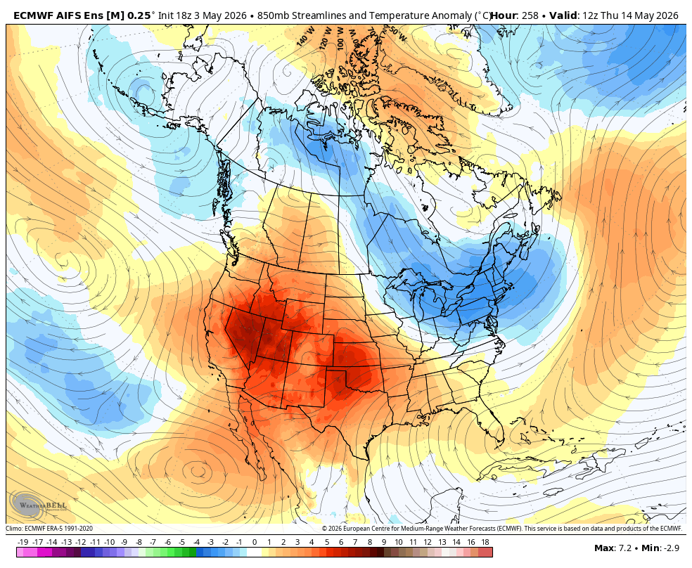
West:
• Ridge returns → warming trend → early summer vibes
East:
• Still stuck in a lingering winter-like pattern, in which the PV really hasn't left! There is still a bite in the air, which are leftovers from a brutal winter in the northeast.
• Euro AI: ~10° below normal at times
• Tri-State: nights in the 40s… in May
That west ridge / east trough setup? Still locked in.
Detailed breakdown:
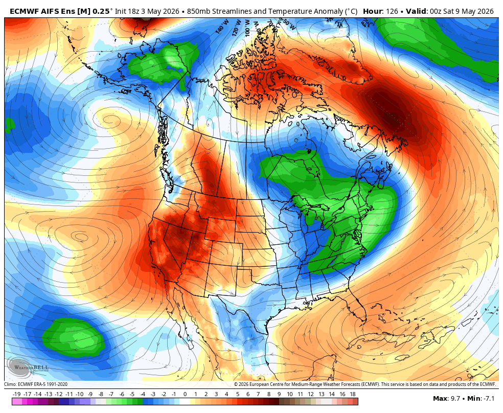
Out West, we’ve got one more quick transition before the pattern flips.
Early–midweek in #California:
• A trough moves through
• Scattered showers
• High-elevation Sierra snow
• Temps knocked back closer to normal
Yes — Mammoth and Palisades Tahoe should squeeze out one more shot. Nothing major, but a reminder winter hasn’t completely shut the door at elevation.
Key point: this is not a pattern change — it’s a reset.
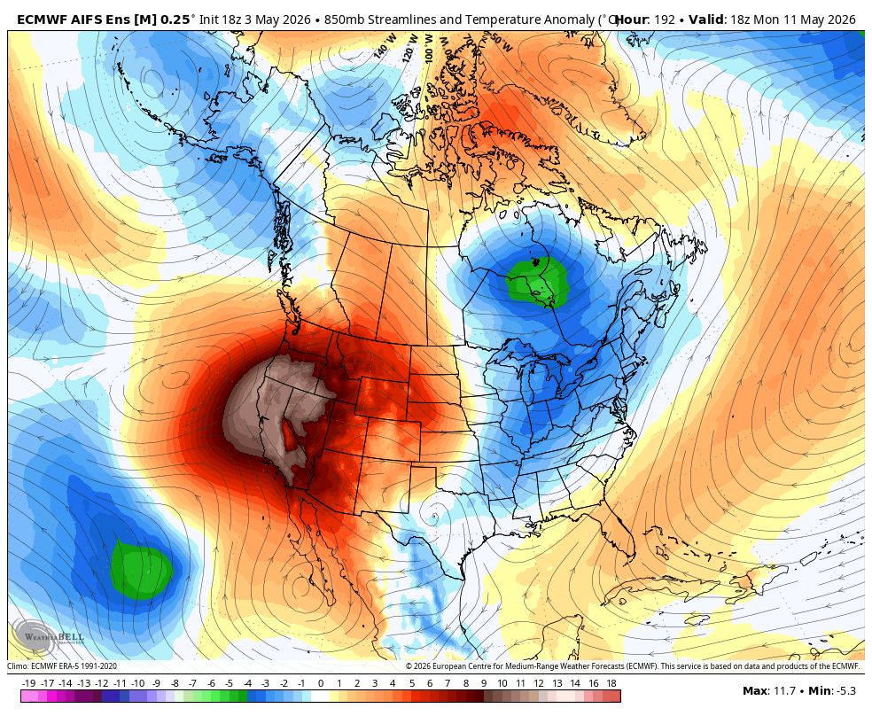
By late week:
• Heights rise
• Ridge rebuilds
• Subsidence compressional warming kick in
By the weekend:
• Clear warming trend
• Stronger sun angle
• First real “we’ve turned the corner” feel
Not peak summer — but you’ll feel it.
Meanwhile, back East…
Completely different story:
• Persistent troughing
• Lingering polar influence
• Below-normal temps hanging on
That imbalance across North America is still the bigger picture.
Recap:
➡️ Early-week trough → showers Sierra snow
➡️ Late-week ridge rebuild
➡️ Weekend into next week: summer preview out West
I also posted Euro 850mb temps for the next 10 days — honestly looks like January / early February / all of March back East.
On #ElNino:
Still holding the deeper dive until after May 18th.
If you want an early preview, check out the latest @intouchLiveHQ podcast with @imetrich — we get into:
• What an IMET is
• The Palisades & Eaton fires
• The upcoming El Niño hype cycle, which is epic!!
Good conversation and a solid setup for what’s coming next.
Well that is it folks. Look forward to the transition calendar wise to Meteorological Summer, which is June 1st....right around the corner.
More this week.....
#weather #SoCal #NorCal #PNW #ElNino #Climate #SkiSeason #DTLA #TriState #Meteorology
#Weather #CAwx #SoCal #NorCal #SierraNevada #WestCoast #HeatWave #SpringTransition #PatternChange #Meteorology #WxTwitter #ElNino #Climate #Forecast #TriState #EastCoastWeather #intouchlive
4
5
35
3,519

Mar 12
この街の冬が終わりを告げる時、
不思議と胸が熱くなる。
春はもう、すぐそこね。
明日も、それぞれの場所で。
When winter bid farewell to this city,
My chest gets inexplicably hot.
Spring is already right there.
Tomorrow, in each of our places.
#MidnightWalk #SpringTransition #WinterEnd #sayuristyle

10
3
112
4,376

Mar 5
#Weather | 🌤️ #Guangdong's weather is about to shift! After early March rain & clouds, expect drier, sunnier days ahead ☀️. A weak cold front arrives March 5, bringing scattered showers but clearing skies by afternoon. March 6–7 will be mostly sunny 🌞.
Temps rise with cool mornings (9–20°C across regions) and warm afternoons (mid-20s°C in #Guangzhou by weekend). Pack light rain gear for March 5 and dress in layers for spring’s big temp swings! 🌬️
#GuangdongWeather #SpringTransition 🌸
1
1
2
167

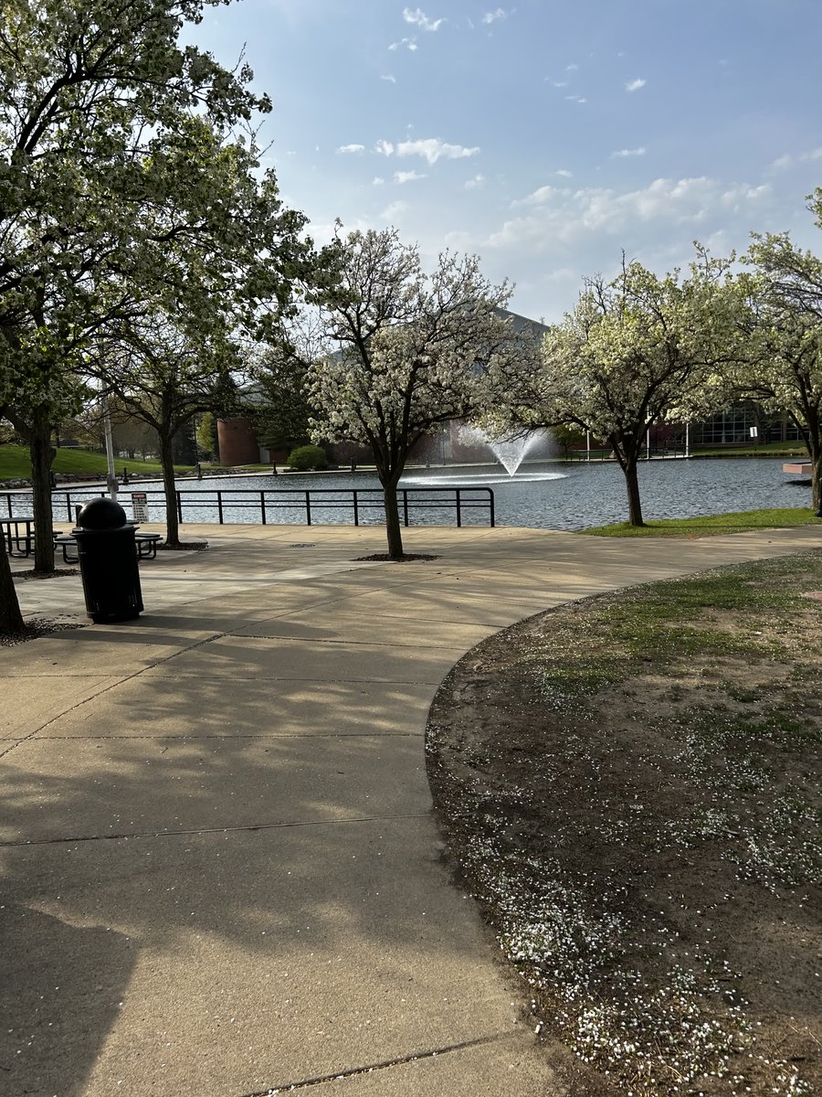
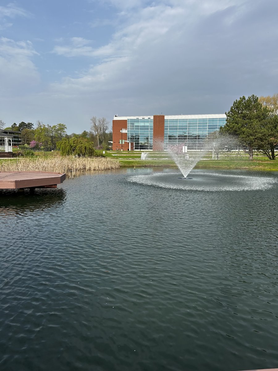
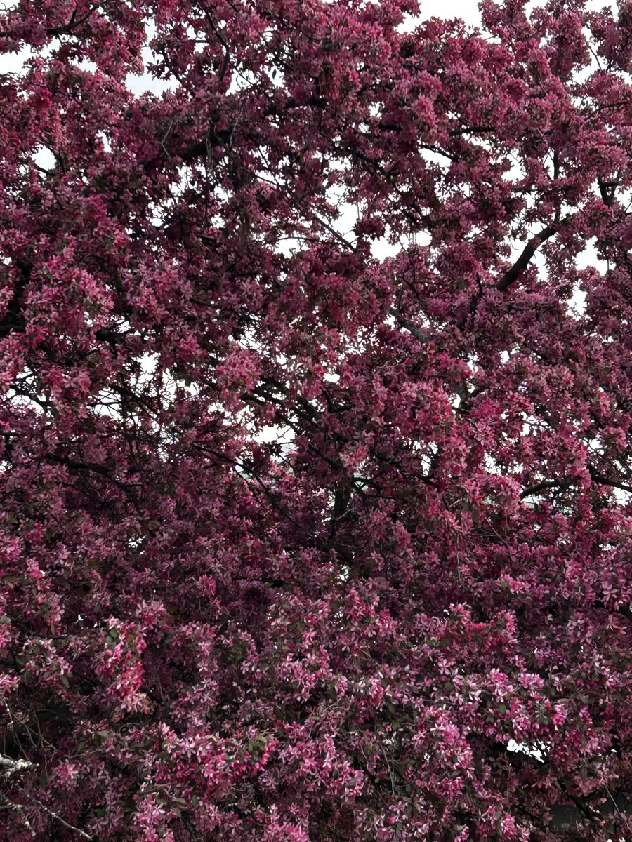
14 May 2025
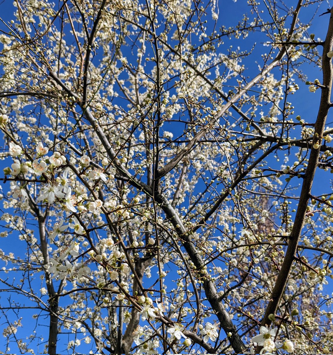
A morning stroll. Campus is quiet, finals are over, and spring has moved in. 🌸
Another winter semester in the books. Time to rest, reset, and breathe. 💚🦅
#SpringOnCampus #YpsilantiVibes #CampusBloom #EMUAlum #BecomeMoreYou #TRUEMU #CampusQuiet #SpringTransition

1
4
153

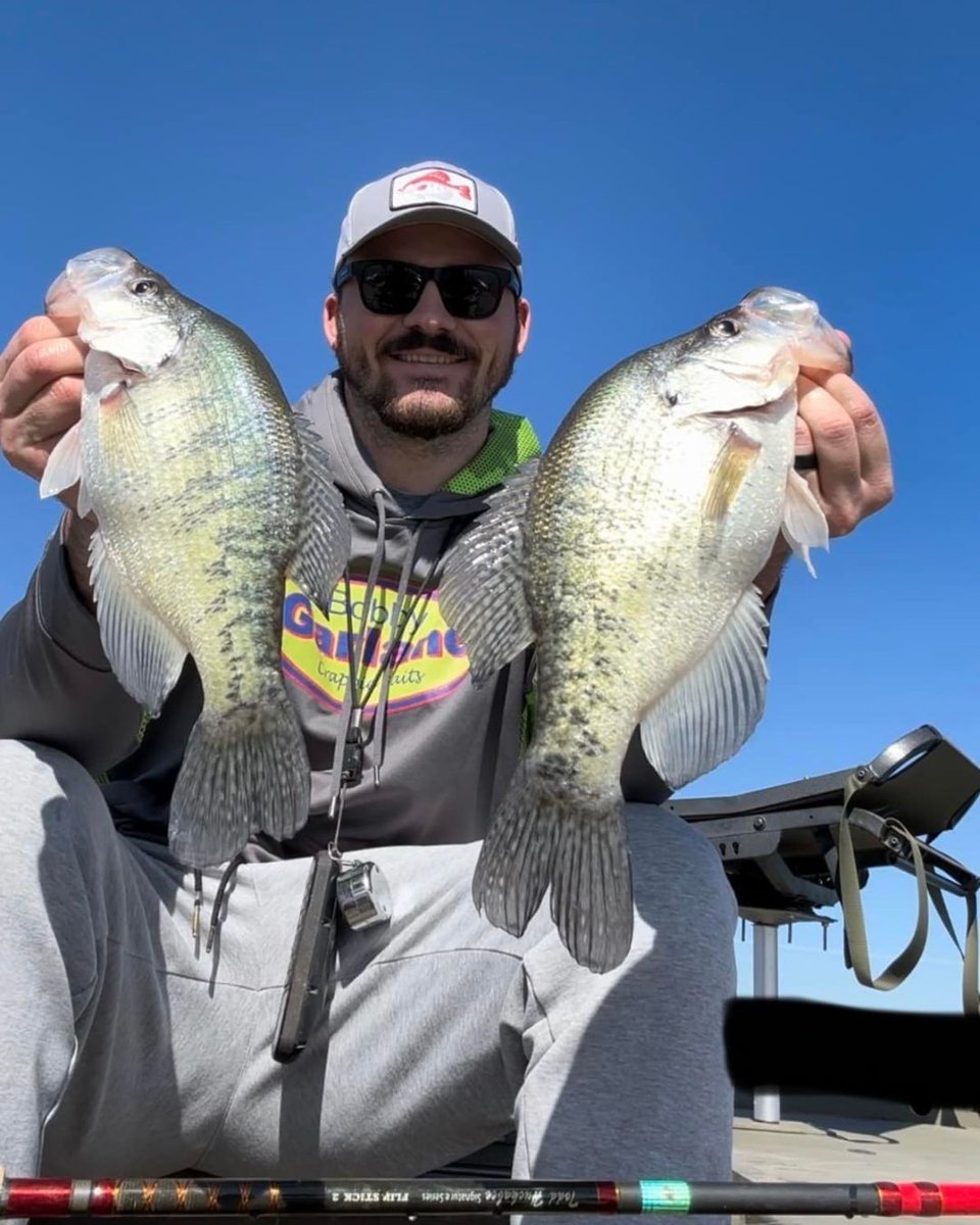
27 Mar 2025
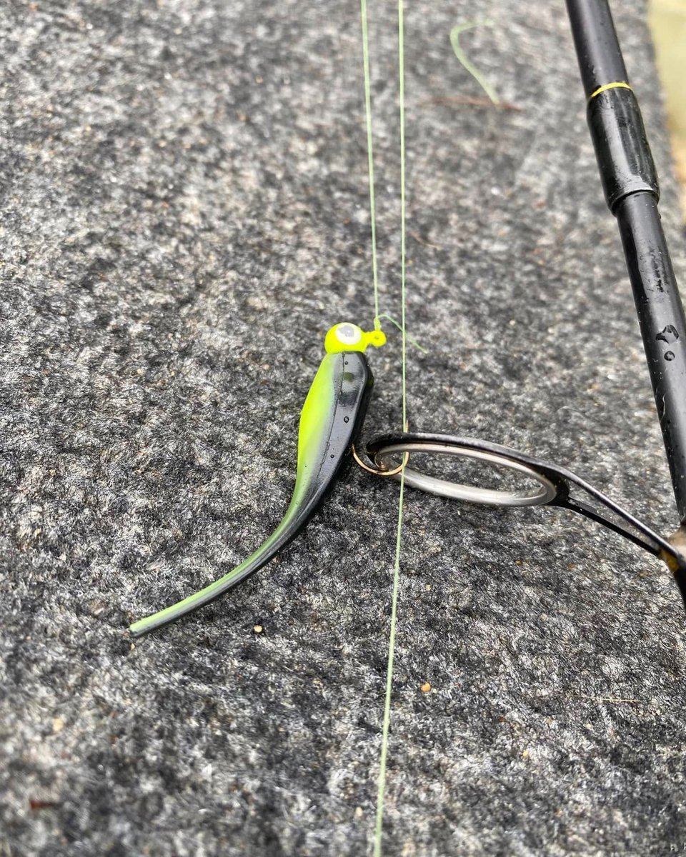
Slaying crappie during the spring transition is almost too easy with the right @Bobby_Garland!
lurenet.com/catalogsearch/re…
#BobbyGarlandBaits #CrappieFishing #SpringTransition #SlabHunter #GFBOutdoors #Mayfly #LiveRoamR #BrushPileFishing
1
3
28
364
19 Mar 2025
With @Bobby_Garland largest assortment of colors to choose from, there's a pattern for every condition on the water.
lurenet.com/bobby-garland-th…
#BobbyGarlandBaits #CrappieFishing #MatchTheHatch #SlabSeason #SpringTransition #FishTheBest
3
107
18 Mar 2025
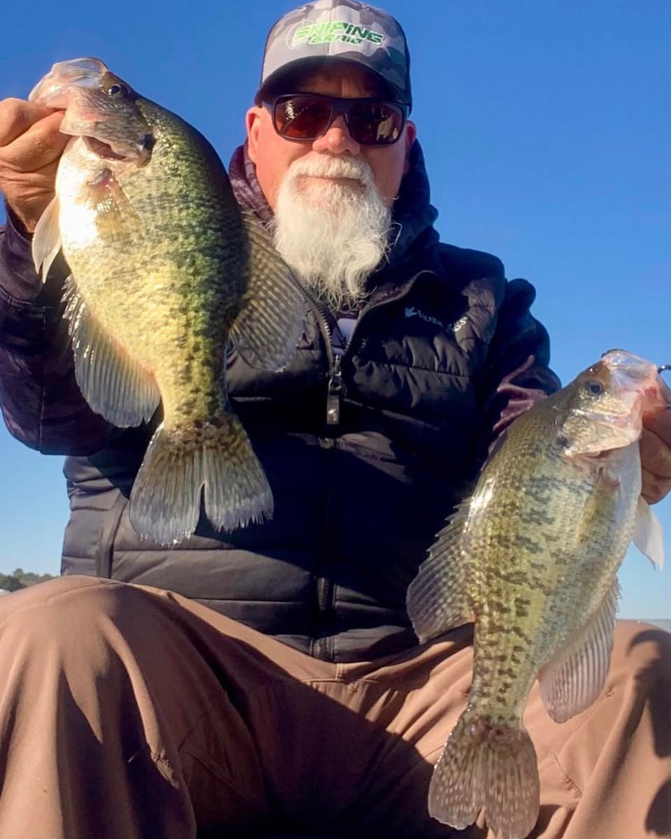
John Godwin showing off some impressive slabs caught on a recent trip using his favorite Crappie Magnet lures!
troutmagnet.com/crappie-magn…
#CrappieMagnet #CrappieFishing #FishingGear #SlabHunter #CatchMoreFish #FishingTips #SpringTransition
5
50
738
15 Mar 2025
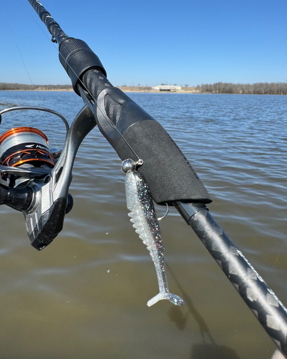
The Slab Hunt'R from @Bobby_Garland is a great way to mimic bigger baitfish and help you reel in those bigger bites!
lurenet.com/bobby-garland-2-…
#BobbyGarlandBaits #SlabHunter #CrappieFishing #SpringTransition #SpawnSeason #BigBiteBaits
2
122
13 Mar 2025
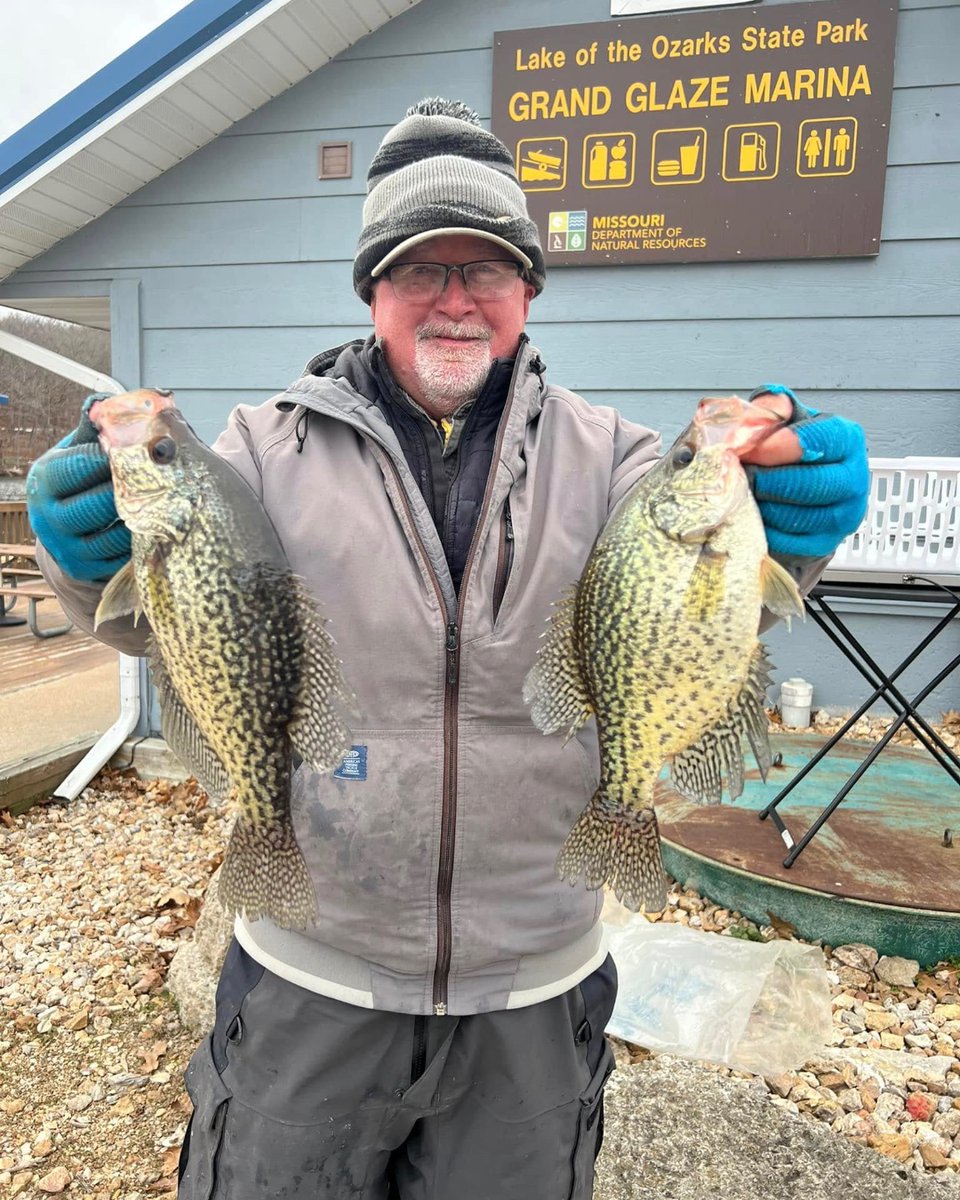
Terry Blankenship has been catching slabs at Lake of the Ozarks with some of his favorite @Bobby_Garland baits! 🎣
lurenet.com/catalogsearch/re…
#BobbyGarlandBaits #CrappieFishing #LakeoftheOzarks #SpringTransition #SlabHunter #MatchTheHatch
3
94

Just spotted deer outside my window shedding their winter fur! 🦌 Such a mesmerizing sight. Nature's transitions are breathtaking.
#Wildlife #NatureBeauty #DeerWatching #SpringTransition
2
1
6
198

15 Mar 2024
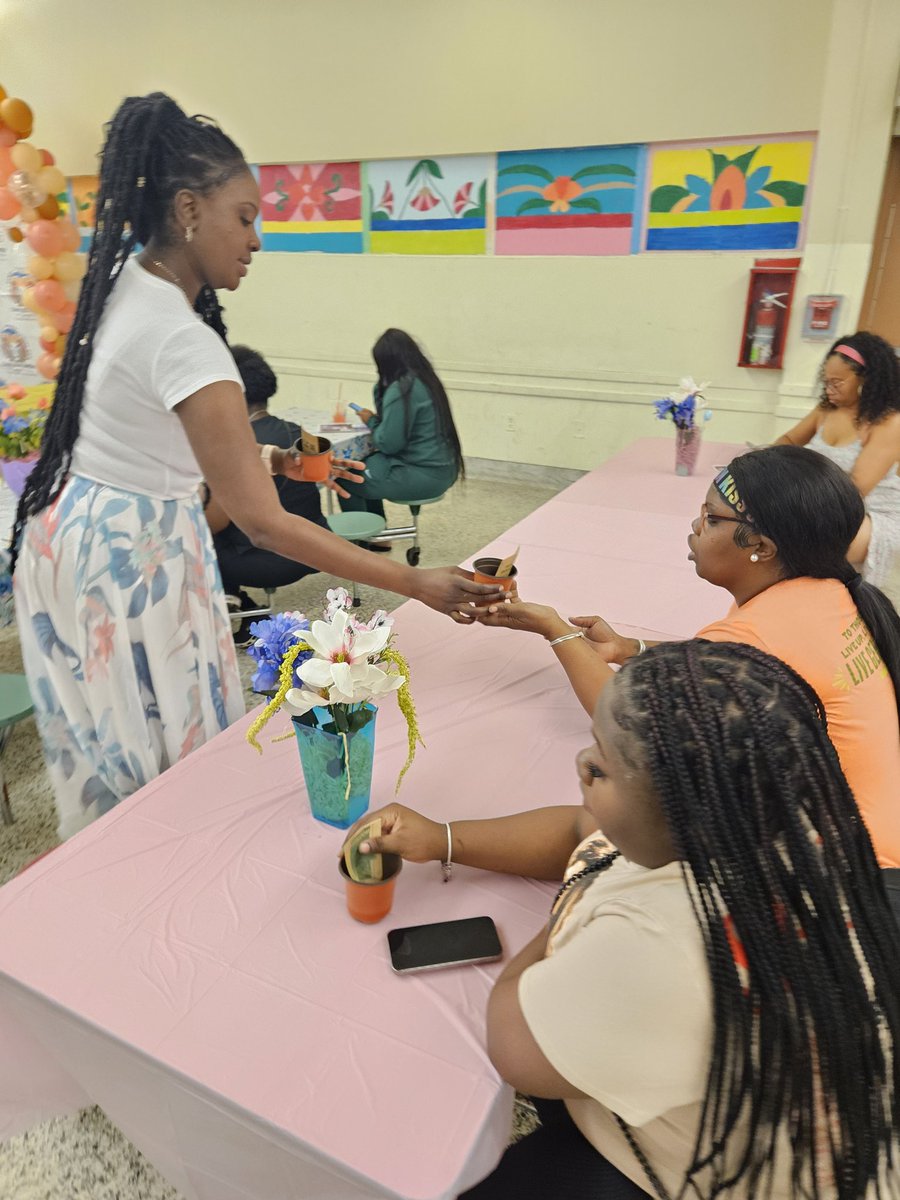
🌸 Celebrating the beauty of blooms & the power of moms! Our RAM moms joined us for a delightful Blooms & Brunch event hosted by CRDK-8 PTSA 🌱 #WomensHistoryMonth #SpringTransition #Empowerment #YourBestChoiceMDCPS #FamilyEngagement


3
8
264

14 Jan 2024
Prepare! Let your Tirrinia tote bag follow you to the country, the city, on the go, on a picnic to experience the goodness!🏖⛰🌅
#tirrinia #coolerbag #coolertote #tote #totebag #springoutfit #Springoutfitinspo #girlystyle #easyspringoutfit #ValentinesDay #springtransition

1
2
35


25 Mar 2023
Have a nice weekend.
Stay safe and healthy and happy.
#weekendvibes #saturdayvibes #flowerpower #flowergram #springtransition #photooftheday #shotonpixel5 #photography #hobby
1
31

21 Jan 2022
When seasonal changes occur, its important we modify our diet and lifestyle accordingly to stay aligned with ourselves and nature. Check out these #Ayurvedictips to get you moving and feeling energetic during this winter to #springtransition. totalayurvedacare.com/blog/l…
#springtips

4

15 May 2021
3
9

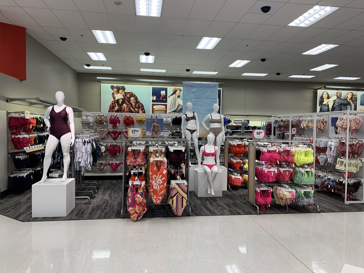
18 Mar 2021
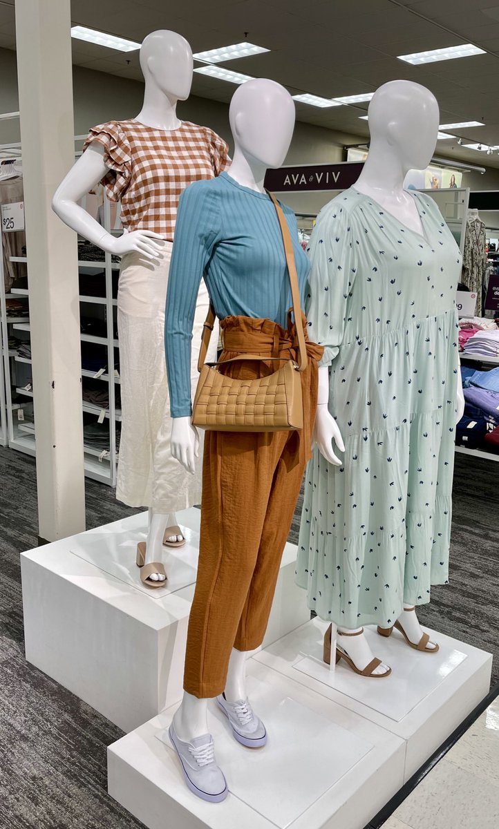
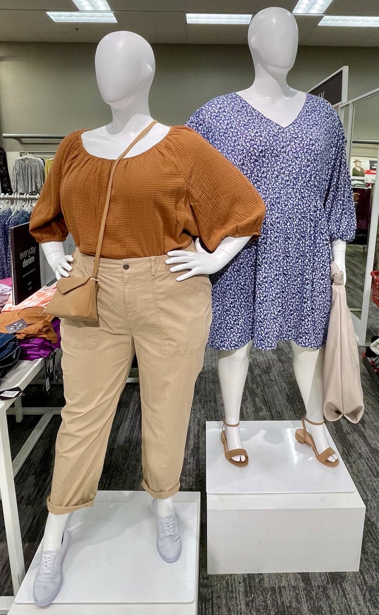
Wasn’t sure about this color palette, but turned out to be a refreshing change #photodump #womannequin #springtransition #visualmerchandiser #Target


2
9


2 Jan 2020
Get ready to go on those cruises..swim is set at 2217 #winterishere #getthemwhiletheyrehott #springtransition @lovethebullseye @settoselltarget @veramay11 @jamaal_edwards
1
2
9

1 Jan 2020
It’s 2020! ✨
Blowing a little glitter your way and wishing you all the best in the new year! XO
#newyearnewyou #goals #2020style #newarrivals #springtransition #newlines #shoplocal #boutiqueshopping #nashvilleboutique #nashvilleshopping #StaceyRhodesBoutique #SRBstyle

1
1
2