
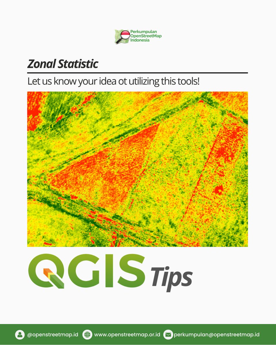
Have you ever used Zonal Statistics in QGIS? 🗺️
This technique helps transform raster data like DEM, slope, NDVI, rainfall, or heatmaps into meaningful statistical insights. 📊
What kind of raster data would you like to analyze?
#GIS
#QGIS
#SpatialAnalysis
#ZonalStatistics
1
10
43
1,300

22 Oct 2024
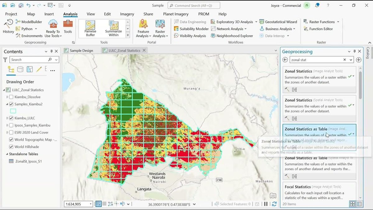
Learn how to calculate zonal statistics and summarize your spatial data with ease.
Watch the video now and level up your ArcGIS Pro expertise! 👇
hubs.ly/Q02TX-vP0
#ArcGISPro #GIS #ZonalStatistics
1
5
14
464

6 Apr 2024
🐦⬛RaVeN takes off for @SIGMODConf with a demo! Our system streamlines zonal statistics that combine raster and vector datasets across multiple #geospatial #data platform backends, enhancing benchmarking and usability! #sigmod2024 #qgis #zonalstatistics
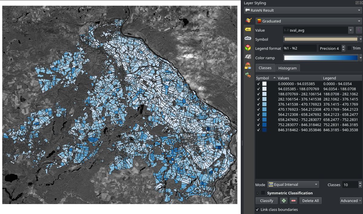

Our demo paper "Multi-Backend Zonal Statistics Execution with Raven" was accepted at #SIGMOD2024 🥳 Looking forward to presenting Raven in Chile.
Check out the paper here: heltzi.github.io/publication…
@harrygavr

1
4
17
1,693

5 Nov 2021
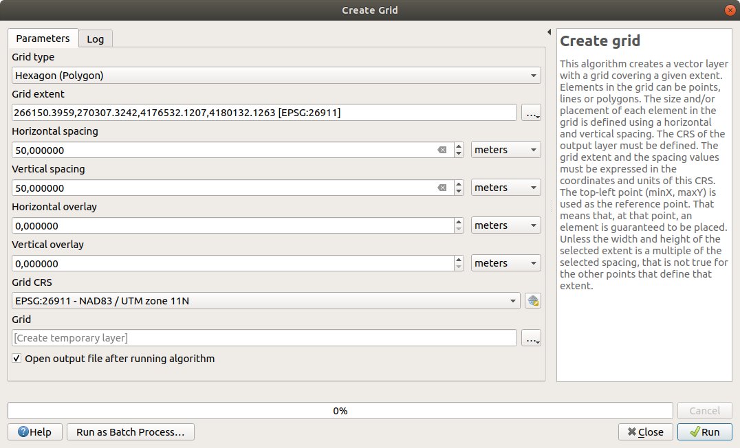
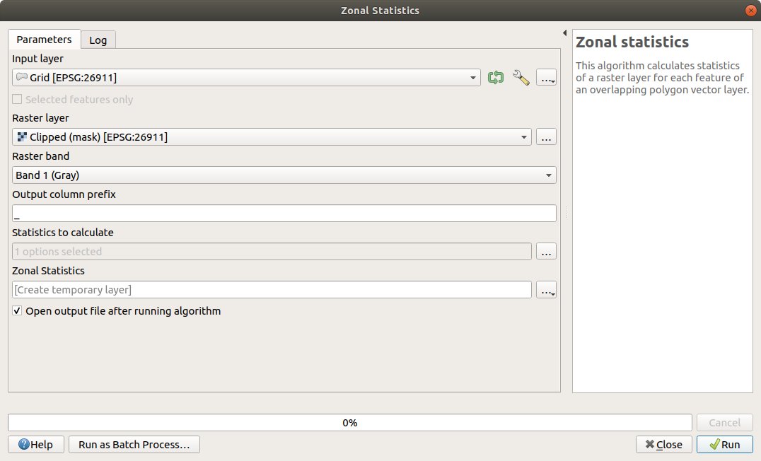
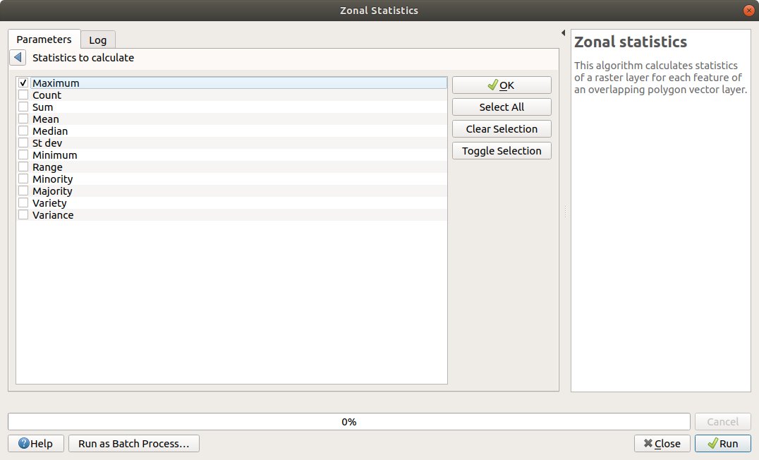
Create a hexagonal grid with the horizontal and vertical spacing of 50m, using the extent from the clipped raster, and update the polygons with the maximum height value from the initial raster pixels, using Zonal statistics.
#QGIS #CreateGrid #ZonalStatistics
1
3

27 Jan 2017
github.com/qgis/QGIS/commit/… Merge pull request #4069 from alexbruy/zonalstatistics-tests
Zonal statistics tests
1