
May 29
El primer experimento a escala urbana de crowdmapping salio de Kibera. Ushahidi se llamaba. Hoy parece el precambrico de internet.
May 28

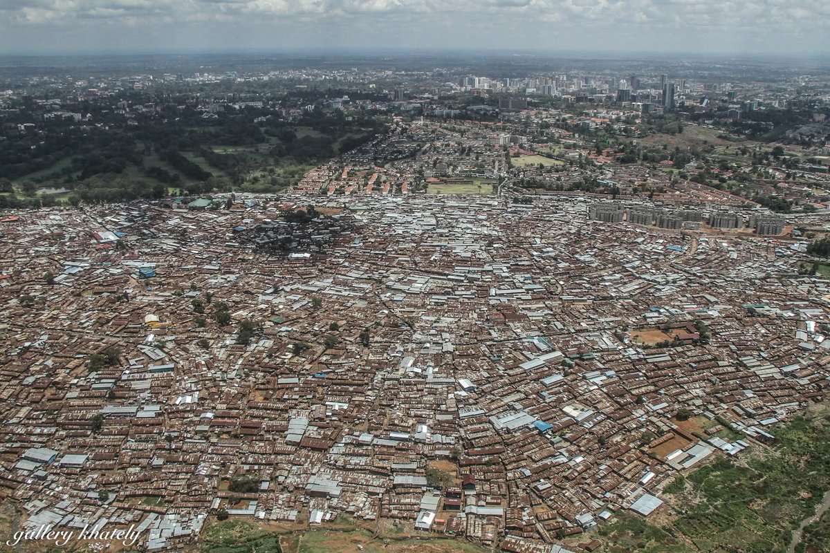
Nairobi, la capital de Kenia, presenta una fuerte segregación urbana donde más del 60% de su población vive en asentamientos informales o slums.
Kibera (el de la foto), es el asentamiento informal más grande de toda África.
Se estima que puede llegar al millón de habitantes y destaca por su alta densidad poblacional y su activa red de comercio comunitario.
Y no está solo Kibera. Mathare también es uno de los suburbios más antiguos de la ciudad. Se ubica en un valle angosto del noreste y sufre constantes problemas de inundaciones por su cercanía al río Mathare.
Mukuru también es otro. Es un extenso complejo de asentamientos situado en la zona industrial. Sus habitantes conviven diariamente con la contaminación ambiental de las fábricas vecinas.
Las viviendas en estos lugares miden un promedio de 3x3 metros y albergan a familias rústicamente separadas. Hacinamiento masivo.
Además, faltan redes oficiales de alcantarillado y agua potable, lo que encarece el costo del agua limpia mediante mafias de camiones cisterna.
Y por si fuera poco, la mayoría de los residentes no posee títulos de propiedad y vive bajo amenaza de desalojo estatal.
El empleo depende de trabajos temporales, el mototaxismo (boda-boda) y la venta ambulante de comida.
1
9
719

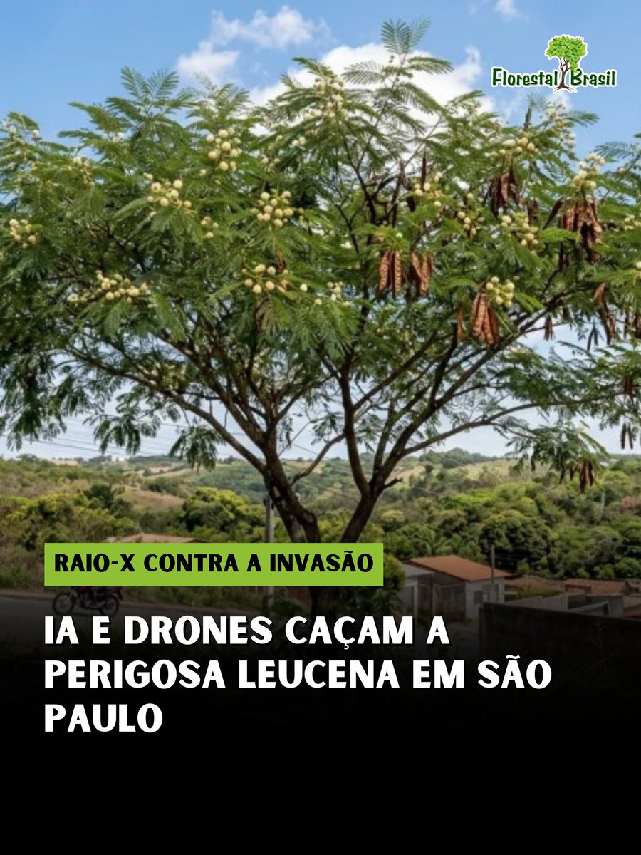
A ciência brasileira está mostrando como se faz o combate às espécies exóticas invasoras na era digital. Pesquisadores da ESALQ/USP, em Piracicaba, criaram um projeto pioneiro que cruza sensoriamento remoto, Inteligência Artificial e ciência cidadã para rastrear e erradicar a Leucena (Leucaena leucocephala), uma das plantas mais destrutivas para a nossa biodiversidade.
☠️ O "Veneno" Silencioso da Leucena
Não se deixe enganar pelas flores delicadas. A Leucena é classificada pela IUCN como uma das 100 piores espécies invasoras do mundo, e os motivos são devastadores. Além de crescer até 3 metros em um único ano e produzir uma quantidade absurda de sementes, ela possui um efeito alelopático. Na prática, a árvore libera substâncias químicas no solo que funcionam como um herbicida natural contra outras plantas, impedindo a germinação e regenerando da nossa flora nativa ao seu redor.
🤖 LiDAR e Redes Neurais na Floresta
Na engenharia florestal moderna, para controlar uma invasão em larga escala, precisamos enxergar o inimigo de cima. O projeto utiliza drones para captar imagens multiespectrais de altíssima resolução (25 cm) e tecnologia LiDAR (pulsos de laser que criam modelos 3D do relevo e da copa). Com esses dados, as Redes Neurais Convolucionais (Deep Learning) fundem as imagens ópticas com a modelagem 3D para segmentar e classificar automaticamente onde a Leucena está dominando a paisagem, gerando mapas precisos para as prefeituras agirem.
🤝 Ciência Cidadã: A Máquina Precisa de Você
A grande sacada do projeto estruturado por Matheus Siqueira Barros e pelo Prof. Dr. Matheus Pinheiro Ferreira é que a Inteligência Artificial precisa de humanos para "aprender" a reconhecer a árvore. Através da plataforma leucaena.earth, qualquer voluntário pode participar do crowdmapping, desenhando máscaras digitais sobre as copas das árvores nas imagens de satélite e treinando os algoritmos que vão proteger as nossas matas.
Saiba mais através do link: florestalbrasil.com/ia-cienc…
#leucena #especieinvasora #florestalbrasil #esalq #inteligenciaartificial
7
69
201
4,771

24 Jul 2025
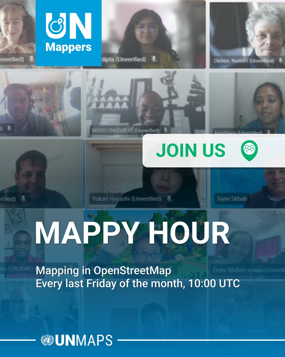
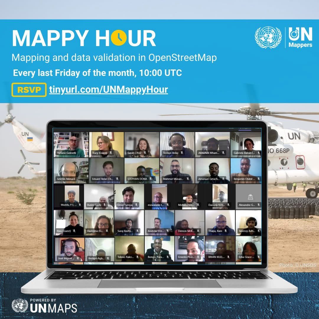
Happening tomorrow, 25 July! ✨
Join us for our monthly #UNMappers Mappy H🕙ur 🥳
📍 Registration: tinyurl.com/UNMappyHour
We will have time for mapping and series of lightning ⚡talks!
See you there! 🙌
#UNMaps #OpenStreetMap #opendata #crowdmapping #volunteering #MappyHour
1
2
5
365
21 Jul 2025
See you this Friday for our July #UNMappers Mappy H🕙ur 🥳
Secure your seats 😃👇
📍 tinyurl.com/UNMappyHour
#UNMaps #OpenStreetMap #opendata #crowdmapping #volunteering #MappyHour
14 Jul 2025

Our July #UNMappers Mappy H🕙ur is happening on 25 July! 🥳
We hope to share recent updates about the UN Mappers community and of'course, to map with you! 🗺 💙
Register now😃👇
📍 tinyurl.com/UNMappyHour
#UNMaps #OpenStreetMap #opendata #crowdmapping #volunteering #MappyHour

4
287
14 Jul 2025
Our July #UNMappers Mappy H🕙ur is happening on 25 July! 🥳
We hope to share recent updates about the UN Mappers community and of'course, to map with you! 🗺 💙
Register now😃👇
📍 tinyurl.com/UNMappyHour
#UNMaps #OpenStreetMap #opendata #crowdmapping #volunteering #MappyHour
3
449
1 Jul 2025
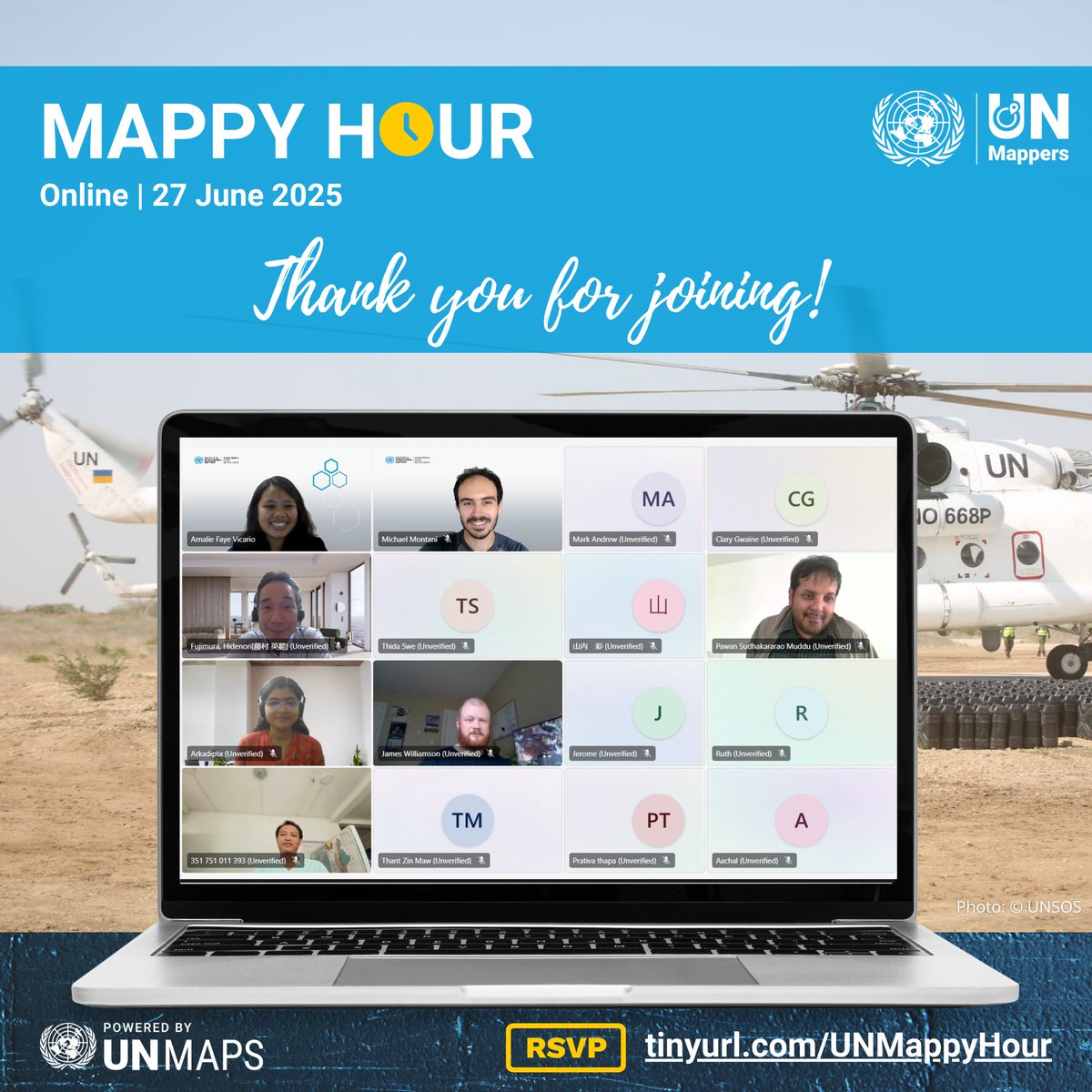
Thank you for joining our Mappy Hour last month! 🤩💙
📅 Our next Mappy Hour is on 25 July. You can register as early as now!
tinyurl.com/UNMappyHour
See you again! 💙
#UNMaps #UNMappers #OpenStreetMap #opendata #crowdmapping #volunteering #MappyHour #UNMappersMappyHour
1
1
2
328
22 Apr 2025
Our April #UNMappers Mappy H🕙ur is happening this Friday! 🥳
Register now and see you there! 😃👇
tinyurl.com/UNMappyHour
#UNMaps #UNMappers #mappingforpeace #OpenStreetMap #opencommunity #opendata #crowdmapping #volunteering #openmapping #MappyHour #UNMappersMappyHour
4
9
979

16 Apr 2025
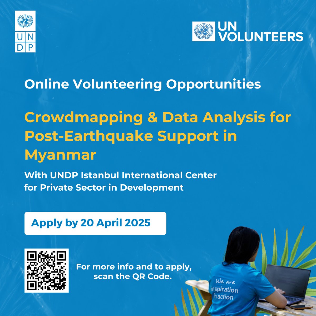
📣@UNDP Istanbul International Center for Private Sector in Development is looking for 100 Online Volunteers to support post-earthquake recovery efforts in Myanmar through crowdmapping and data analysis.
🔹 Duration: 6 weeks
🔹 Commitment: 11–15 hours/week
🔹 Start: As soon as possible
🔹 Location: Virtual
📍Volunteers from Myanmar are strongly encouraged to apply.
👉Apply: bit.ly/4czcYPh
2
4
10
832

2 Apr 2025
4/ **Crowdsourced Risk Mapping 🗺️🖊️**
Innovative mapping platforms allow residents to share knowledge about local hazards and vulnerabilities, creating dynamic, crowd-sourced risk maps that inform planning and response strategies! #CrowdMapping #DisasterRisk
1
9

13 Jan 2025
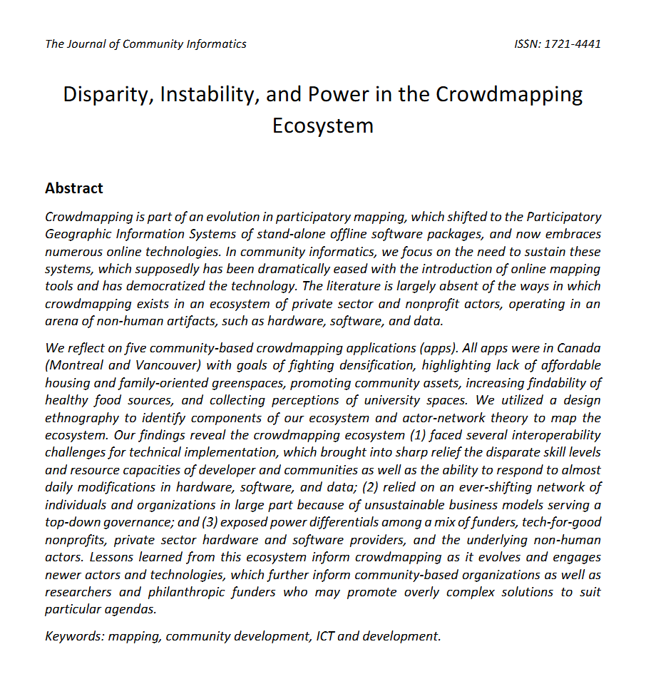
New paper alert! Disparity, Instability, and Power in the Crowdmapping Ecosystem by @re_sieber and me for the Journal of Community Informatics.
1
2
3
318

11 Nov 2024
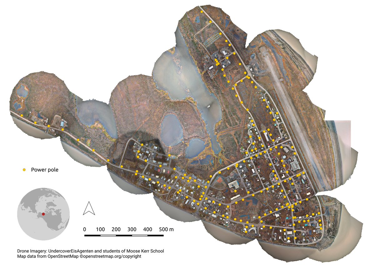
#30DayMapChallenge Day 11:
Students in Aklavik (Canada) helped capture drone images of their village in the #Arctic.
Berlin students then identified power poles with our #crowdmapping app (mapswipe.org), as part of the undercovereisagenten.org project on #permafrost.
1
4
253

30 Nov 2023
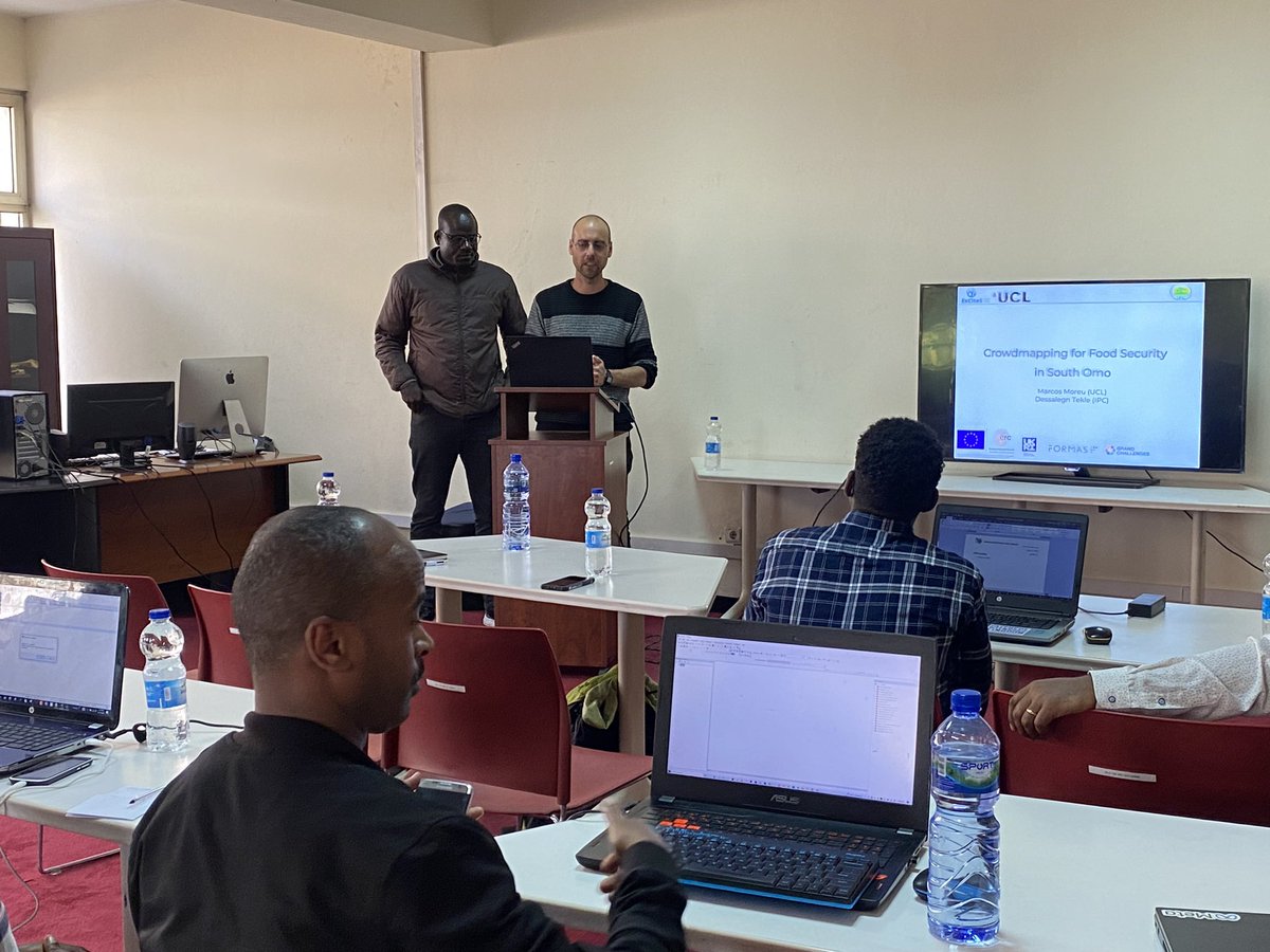
Exciting news! I'm glad to announce that my colleague #Yohannes and I will be co-presenting @sotmafrica about our successful project on #CrowdMapping for Food Security in #Ethiopia. Join us to learn how we made a positive impact through mapping. Don't miss out! #SotMAfrica
4
11
310

18 Nov 2023
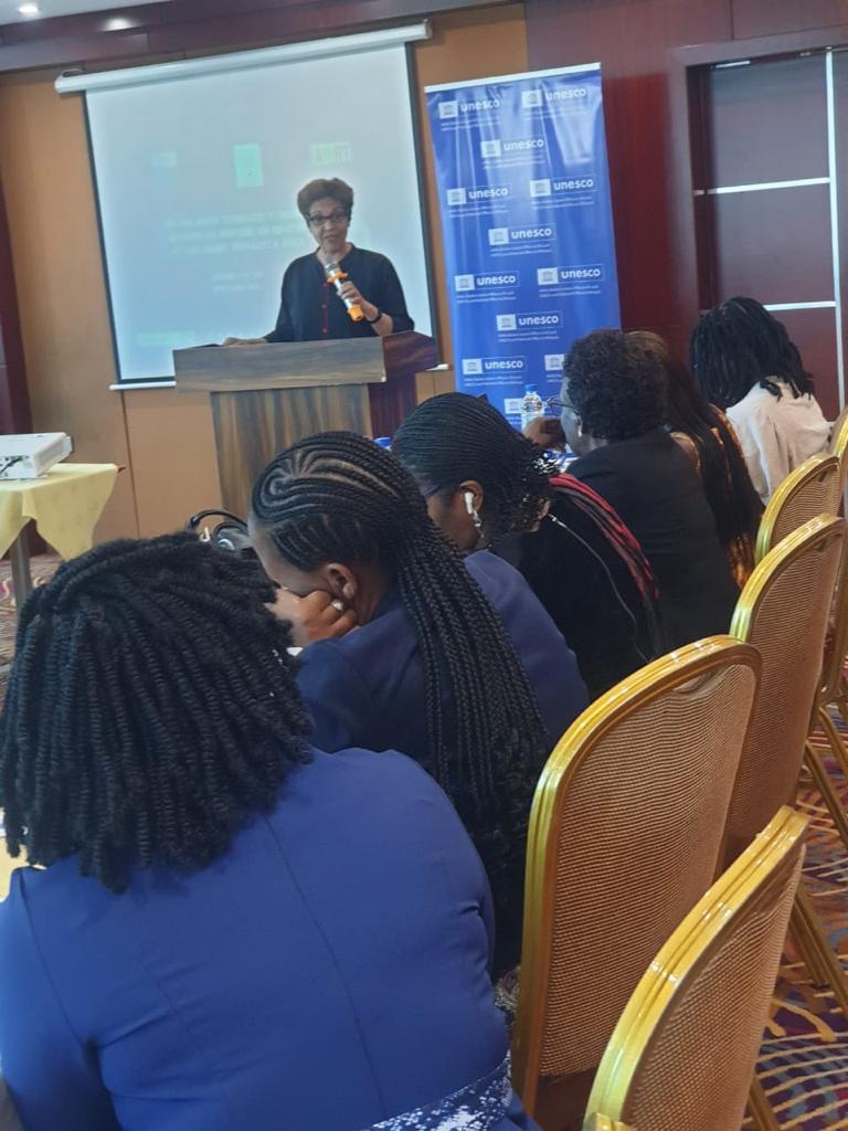
@UNESCO_Addis looking forward to the monitoring framework on media violations using #AI and #Crowdmapping with special focus on female journalists in Africa @RBissoonauth
18 Nov 2023

Rita Bissoonauth, Director of UNESCO Liaison Office to AU and UNECA and Representative to Ethiopia accentuated the critical role of journalists in the democracy of any nation, naming them the defenders of human rights, and the promoters of public debate.
@UNESCO

2
4
75

7 Nov 2023
I knew this, but seeing it happen is crazy. Governments have no idea that victims don’t report violence because of victim blaming.
This just highlights the importance of @TheSafecityApp work on crowdmapping violence. It gives the community a chance to speak up!
3
38

20 Oct 2023
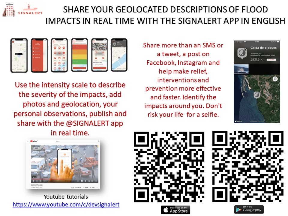
#stormBabet #Flooding in #Scotland #Wale reveals the seriousness of today's event. #UnitedKingdom
Spot the submerged areas & roads, share descriptions of impacts with neighbors and the world with the free crowdmapping app @signalert
20 Oct 2023

2
1,185

20 Jun 2023
Well done! 👏👏👏 Last year Grand Challenges awarded funding to Crowdmapping for Food Security in Ethiopia as part of our four special initiative themes!
19 Jun 2023

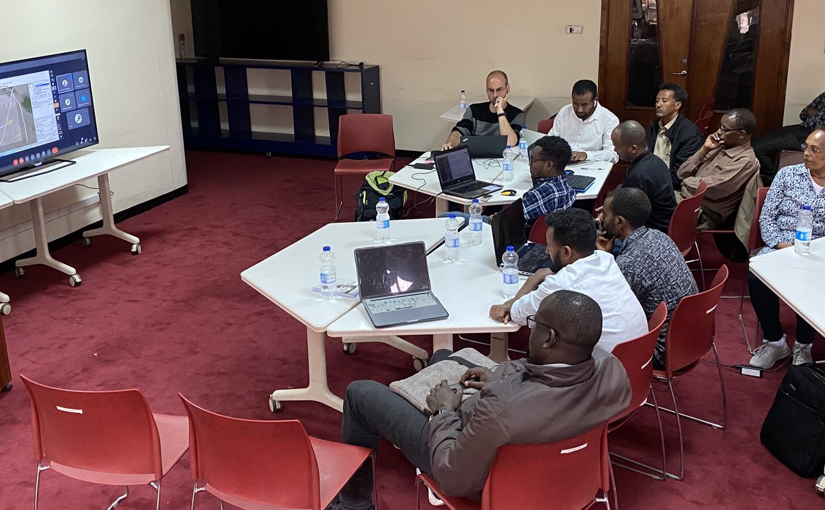
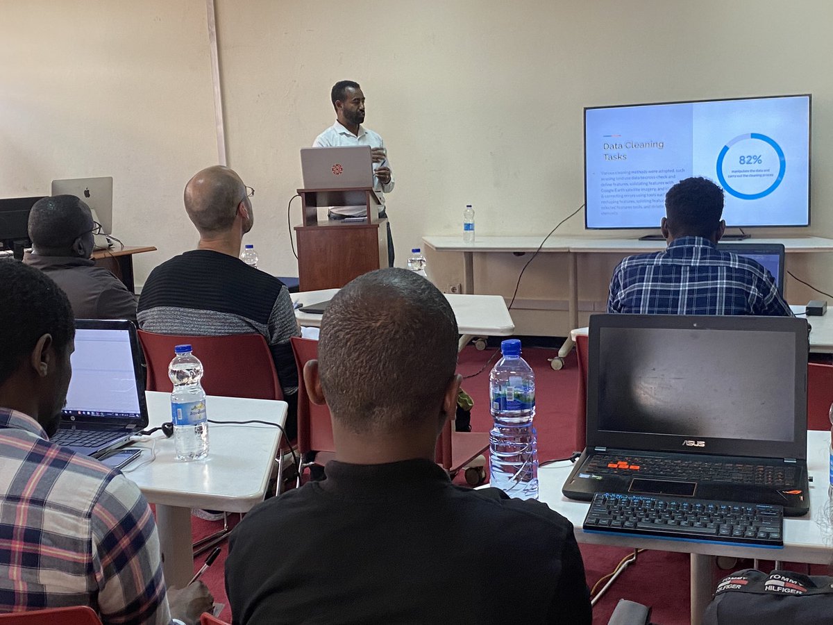
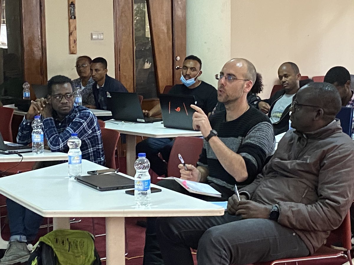
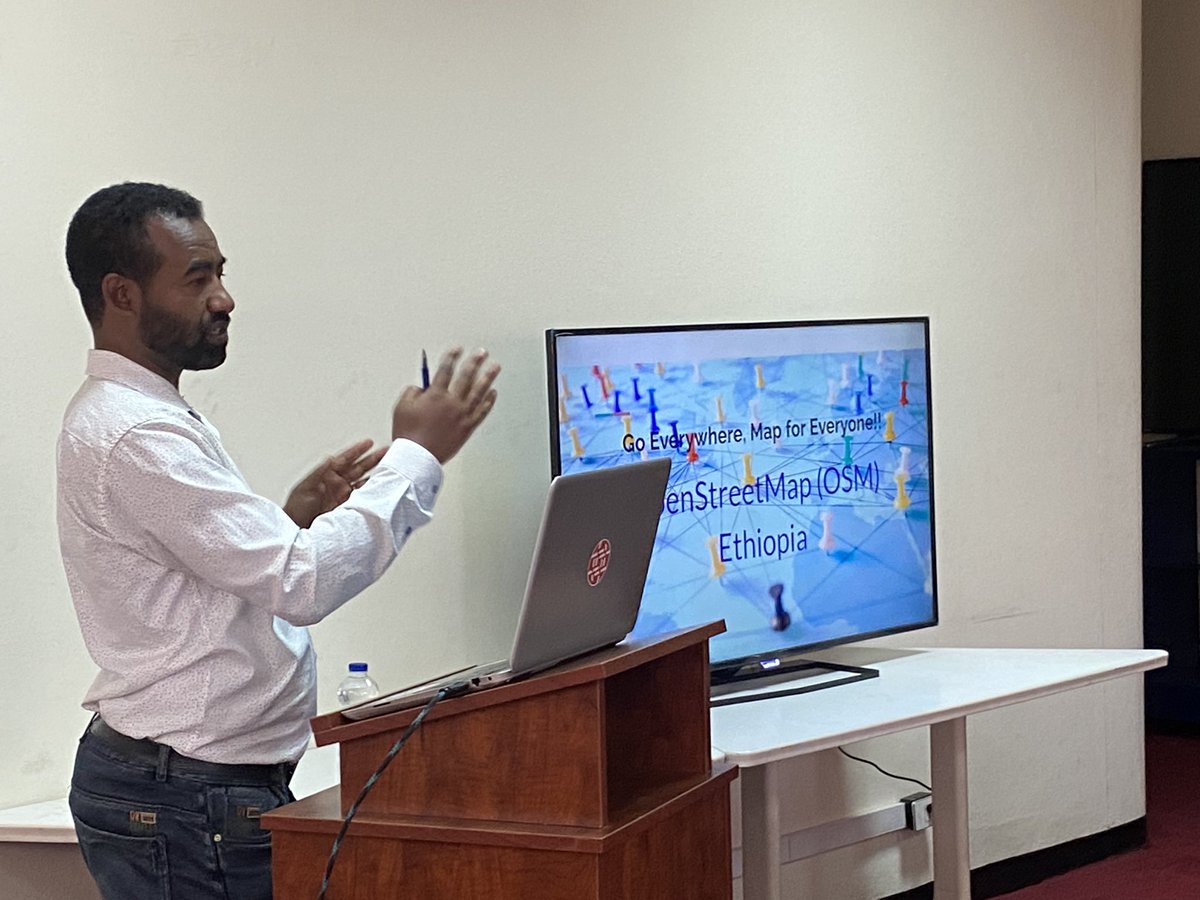
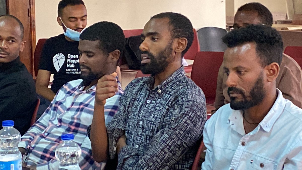
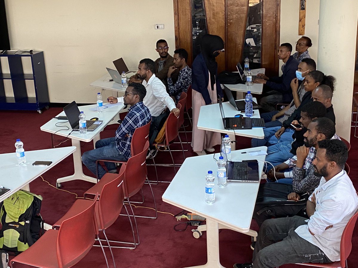
The #Crowdmapping for #foodsecurity in #OMO zone #event was a huge success! @osmethiopia mappers mapped #Nyangatom & #Hammer districts, @CharlesChiluf12 presented on validating tasks & best practices. Congratulations to z data cleaning team, & thanks to all involved! #mapathon


2
5
354

19 Jun 2023
The #Crowdmapping for #foodsecurity in #OMO zone #event was a huge success! @osmethiopia mappers mapped #Nyangatom & #Hammer districts, @CharlesChiluf12 presented on validating tasks & best practices. Congratulations to z data cleaning team, & thanks to all involved! #mapathon
7
16
1,125
19 Jun 2023
👏👏#GoodJob #Team👏👏
The @osmethiopia #dataanalysis team #conducted a data cleaning process for the "#Crowdmapping for #foodsecurity in #OMO zone" project, to ensure consistency and accuracy for the data.#datascience #foodsecurity #crowdmapping
3
10
666
19 Jun 2023
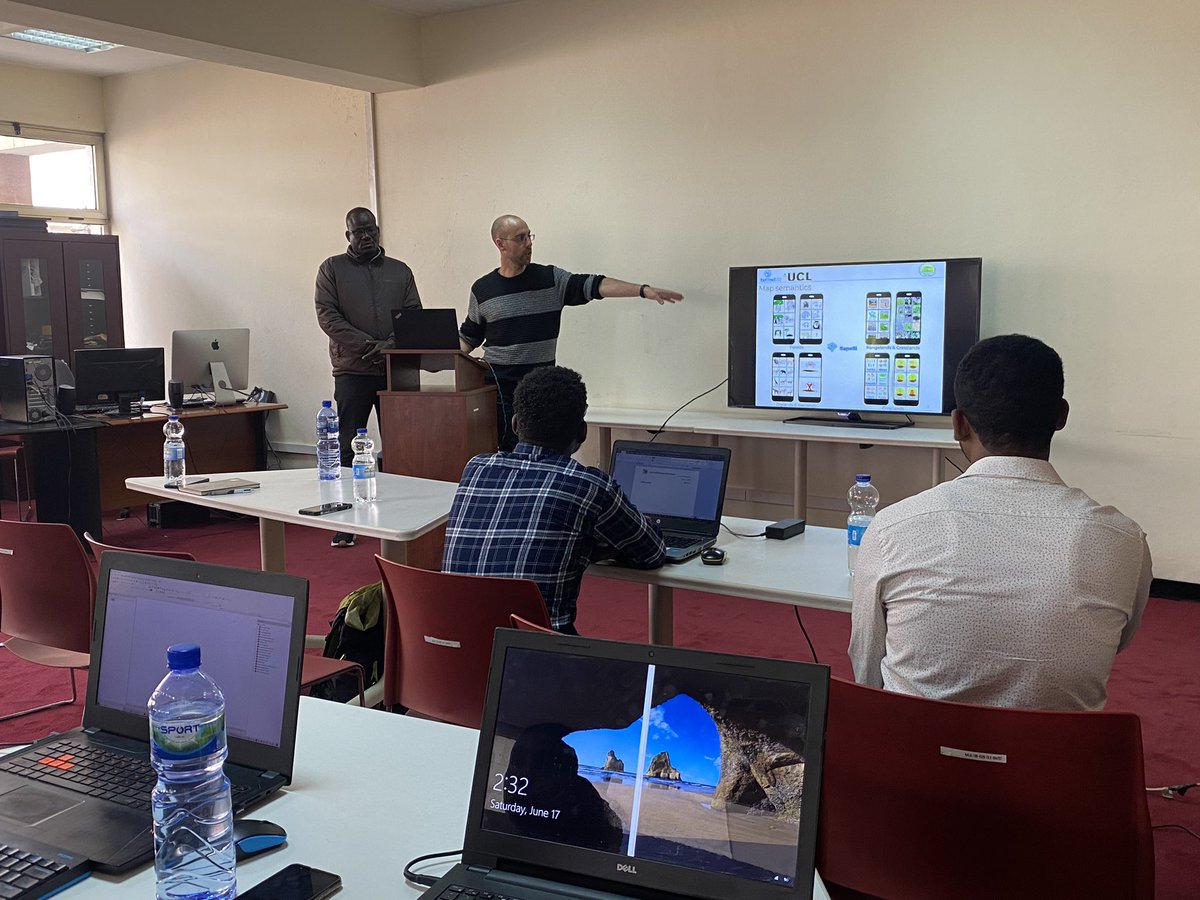
Exciting news! @osmethiopia‘s "#Crowdmapping for #FoodSecurity in #OMO zone" event showcased the engagement and co-design approach used in the project. The mapping technique involved GPS and satellite imagery-based functionalities integrated into z app.#crowdmapping #innovation

4
10
340

16 May 2023
Collective Intelligence 🧠 unlocks incredible potential when people collaborate using technology & data. Methods like crowdmapping harness local knowledge to tackle disasters & climate change.🌏They empower communities to ✒️shape plans & decisions, making a difference together!
1
2
7
459