
Create your IoT application without a single line of code.
- Tweets 824
- Following 158
- Followers 153
- Likes 1,406


ALT Emergency responders use a Mapify-powered mobile app to visualize real-time incidents during a night shift in Bogotá.

ALT A group of Mapify team members pose in front of the Google Cloud booth at an international tech event.
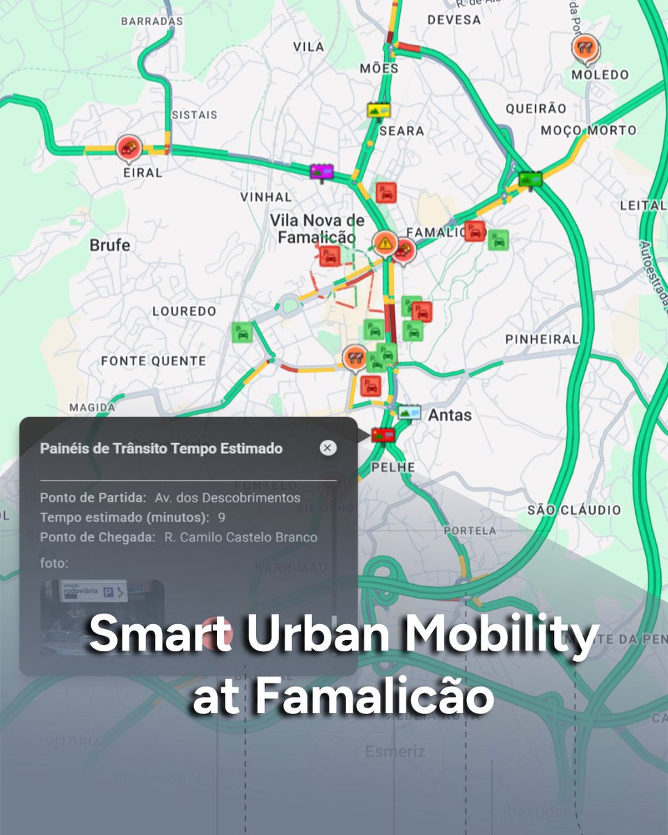
ALT Screenshot of a live traffic map of Vila Nova de Famalicão using Mapify, with real-time incident icons and estimated travel panels.
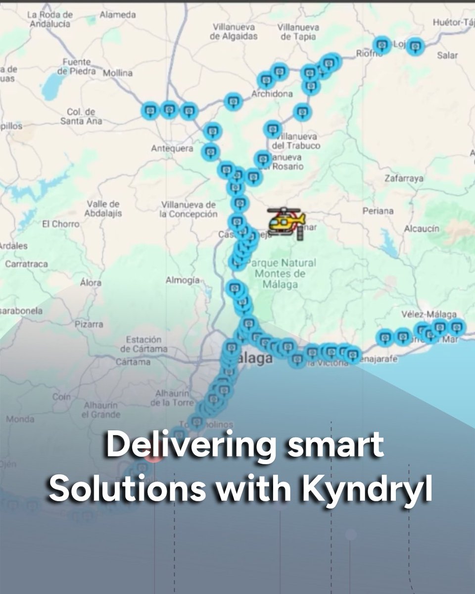
ALT A Mapify dashboard visualizing real-time asset tracking across southern Spain, highlighting a helicopter and IoT-connected points.
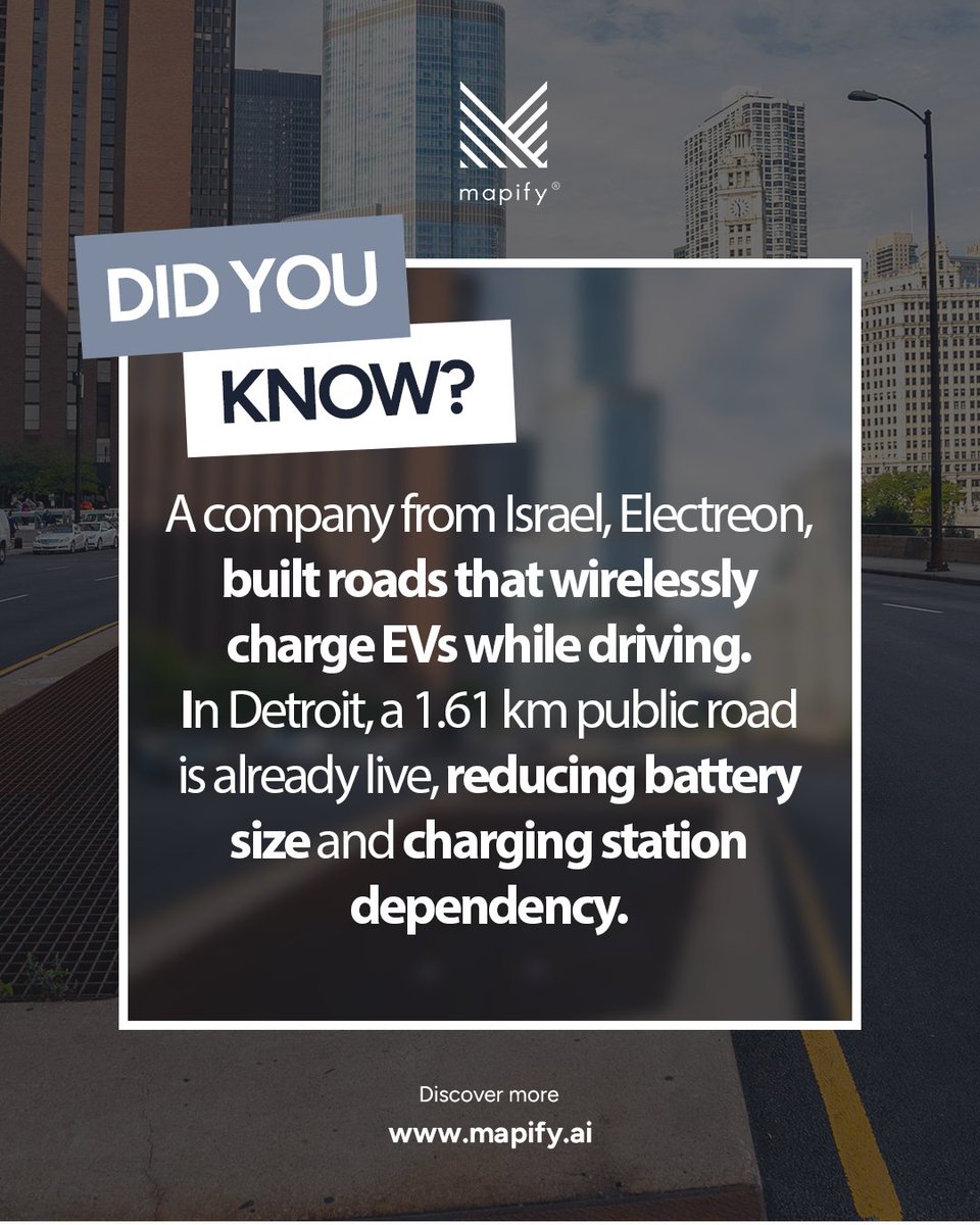
ALT Promotional graphic from Mapify featuring a city street background with skyscrapers and a bold overlay reading “Did You Know?”. The text explains that an Israeli company, Electreon, has built roads that wirelessly charge electric vehicles while driving, noting that a 1.61 km public road in Detroit is already live, helping reduce battery size and charging station dependency. The Mapify logo appears at the top, and the website www.mapify.ai is displayed at the bottom.
ALT Team working in a smart city control room, monitoring traffic and urban data on multiple large screens while a coordinator gives instructions.

ALT People walking through an outdoor food market at night, with illuminated tents, string lights, and hay bales arranged as seating.
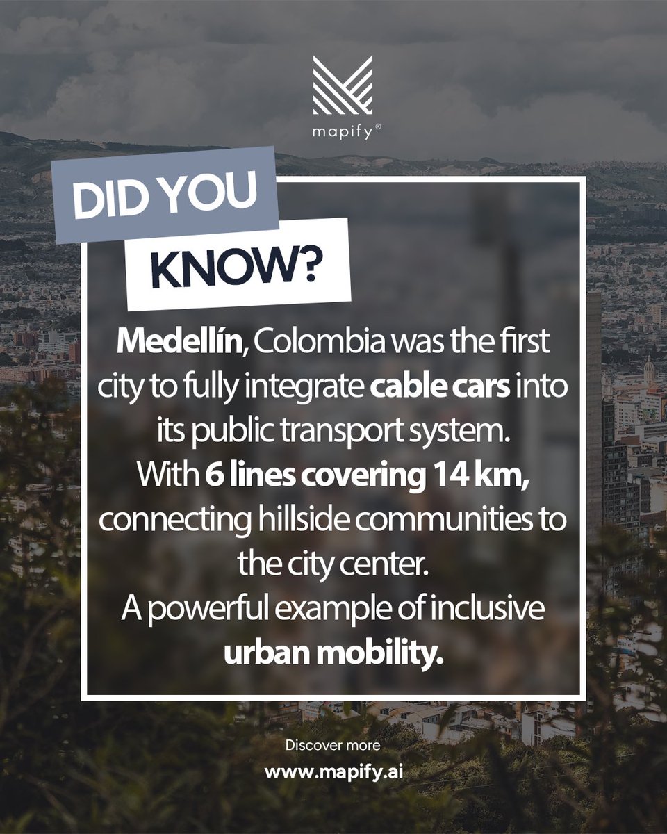
ALT Infographic by Mapify featuring Medellín, Colombia, highlighting its pioneering role in urban mobility. The text explains that Medellín was the first city to integrate cable cars into its public transport system, with six lines covering 14 km and connecting hillside communities to the city center. The image promotes inclusive urban mobility and innovation in public transportation, with Mapify’s logo and website.
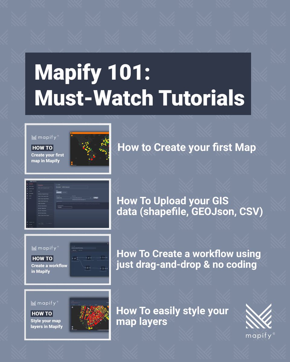
ALT A visual guide titled “Mapify 101: Must-Watch Tutorials” featuring four tutorial topics. Each includes a thumbnail and title: - How to create your first map in Mapify - How to upload GIS data (Shapefile, GeoJSON, CSV) - How to create a workflow using drag-and-drop and no coding - How to style your map layers easily. Mapify logo appears at the top and bottom right.
ALT Graphic with a blue patterned background and white box. Text reads: “5 Essential Mapify 🙌 Integrations.” A green puzzle piece icon appears at the top. Mapify logo at the bottom.
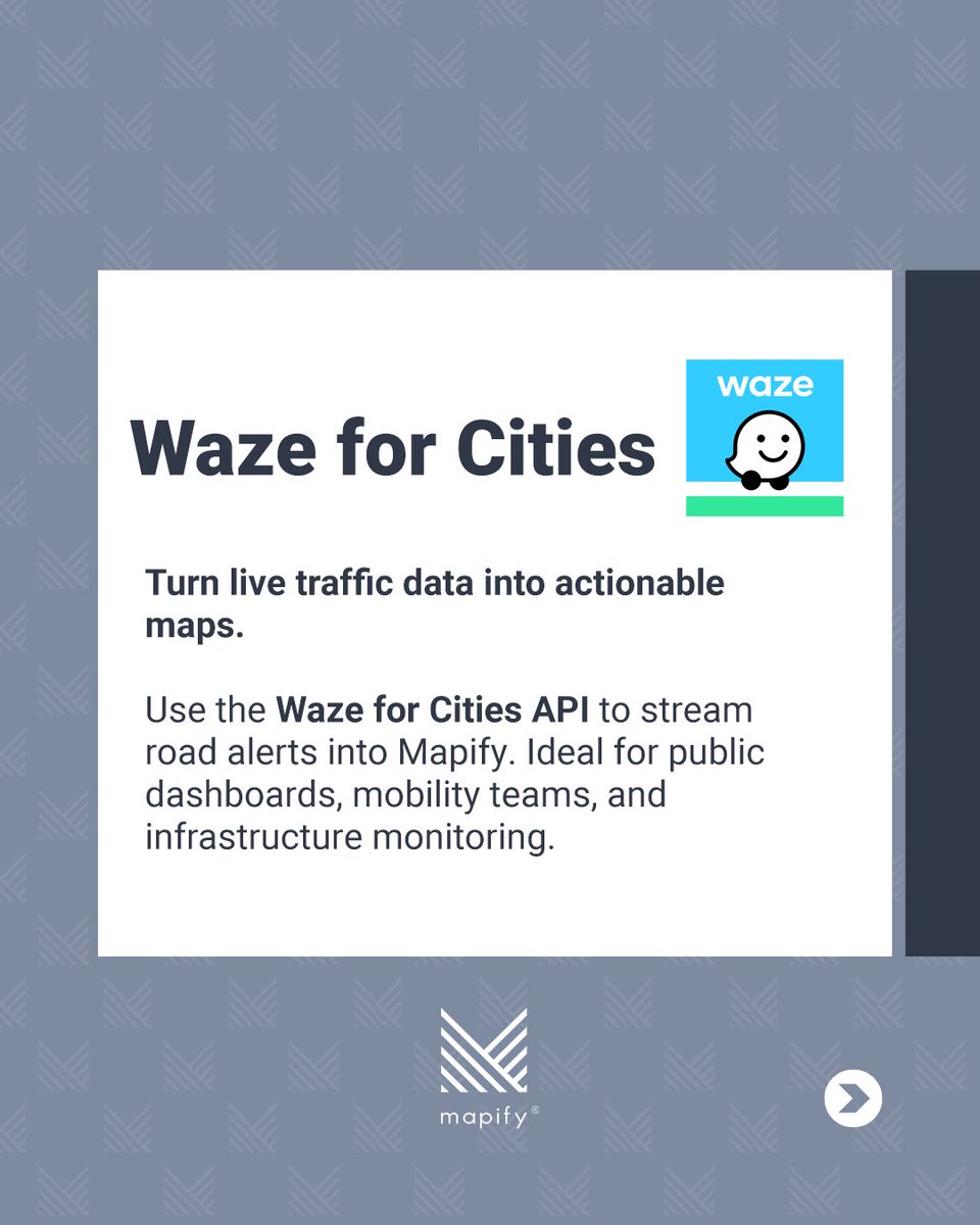
ALT White box with title: “Waze for Cities.” Subtitle: “Turn live traffic data into actionable maps.” Body text: “Use the Waze for Cities API to stream road alerts into Mapify. Ideal for public dashboards, mobility teams, and infrastructure monitoring.” Includes the Waze logo on the right and Mapify logo at the bottom.

ALT White box with title: “Google Looker Studio.” Subtitle: “Build dashboards with your Mapify data.” Body text: “Connect Looker Studio directly to your Mapify datasets. Create powerful dashboards that combine real-time location intelligence with your business metrics.” Icon of a bar chart and Looker logo on the right. Mapify logo at the bottom.

ALT White box with title: “Shapefile GeoJSON CSV.” Subtitle: “Easily upload your existing data.” Body text: “Files like zoning maps, infrastructure data, or simple spreadsheets. Our platform will style and display everything on your map, no setup needed.” Includes an icon of a document labeled “.geojson.” Mapify logo at the bottom.
ALT A two-panel highway exit meme. The top panel shows a green exit sign with two options: left exit labeled “Use Mapify’s no-code app builder” and straight ahead labeled “Write 12,000 lines of custom code.” The bottom panel shows a car swerving sharply toward the exit, with the caption “How most dev teams still operate…” suggesting that many developers still choose the harder, code-heavy path instead of a no-code solution.
ALT A darkened cityscape of Seoul, South Korea forms the background, with the Namsan Seoul Tower visible in the distance. Overlaid text reads: “Did you know? South Korea has one of the world’s top long-distance cycling networks. The Four Rivers Path connects Seoul to Busan with 633 km of bike lanes. And you can earn a certificate for completing it.” The Mapify logo appears at the top, and at the bottom the text says, “Discover more www.mapify.ai.”
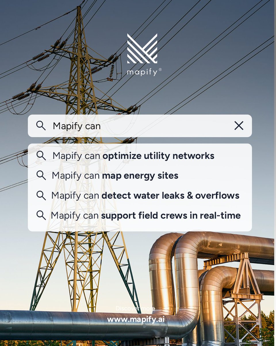
ALT A tall power transmission tower and large silver industrial pipes are set against a clear sky at sunset. Overlaid on the image is a search bar reading “Mapify can” followed by four search suggestions: “optimize utility networks,” “map energy sites,” “detect water leaks & overflows,” and “support field crews in real-time.” The Mapify logo appears at the top, and the bottom text reads “Discover more www.mapify.ai.”
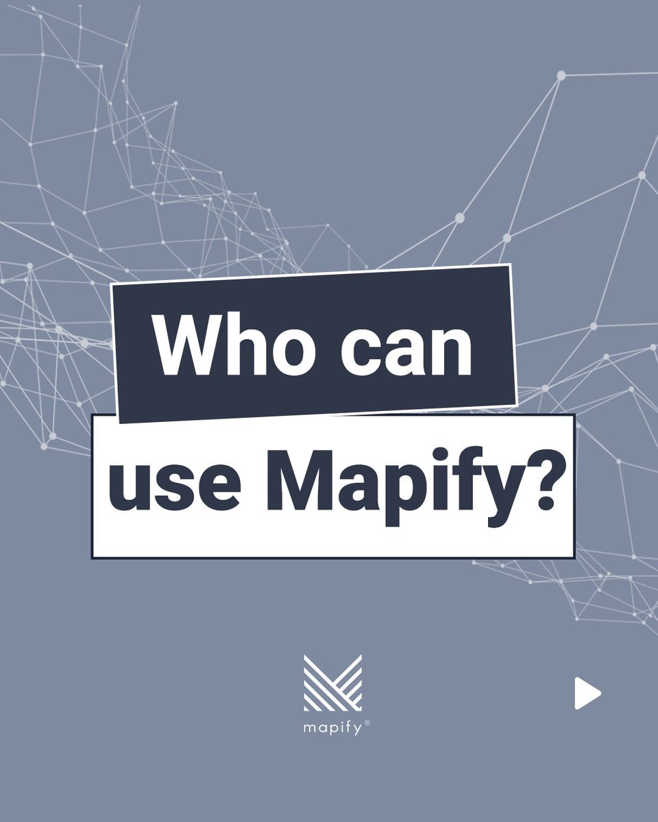
ALT A slide with a geometric network design on a muted blue background. The center features bold white and dark blue layered text boxes that ask, “Who can use Mapify?” At the bottom, the Mapify logo and name are displayed. A small play icon is shown in the lower right corner.
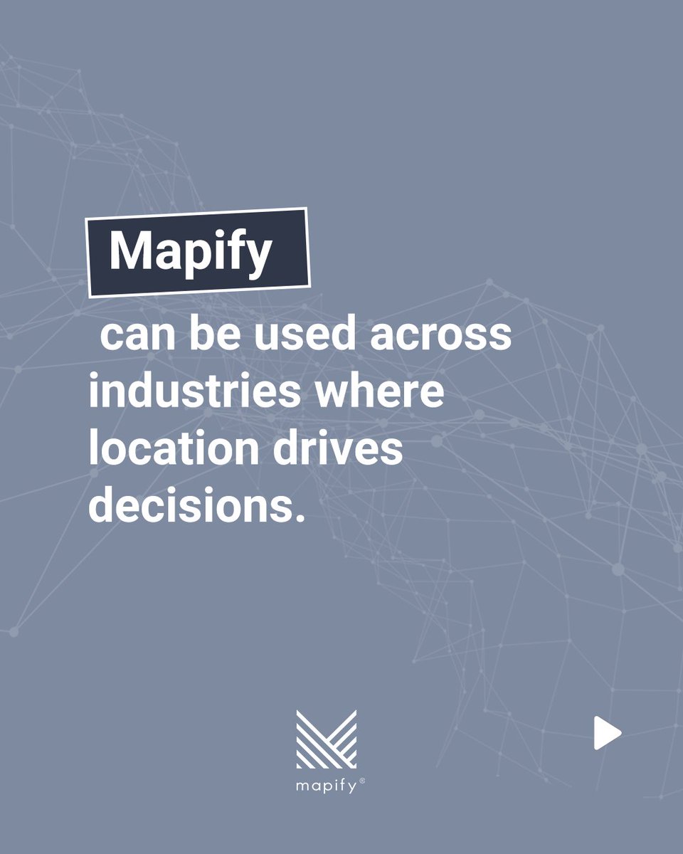
ALT A slide stating that Mapify can be used across industries where location drives decisions. The word "Mapify" is emphasized in a dark box, followed by white text on a blue background. Subtle world map lines form the backdrop. The Mapify logo appears at the bottom center, with a play icon in the lower right.
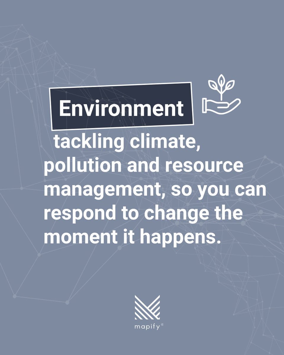
ALT A slide with the header “Environment” highlighted in a dark box alongside an icon of a hand holding a sprouting plant. The text explains how Mapify helps tackle climate, pollution, and resource management by enabling real-time responsiveness. Background features abstract network lines and the Mapify logo at the bottom.
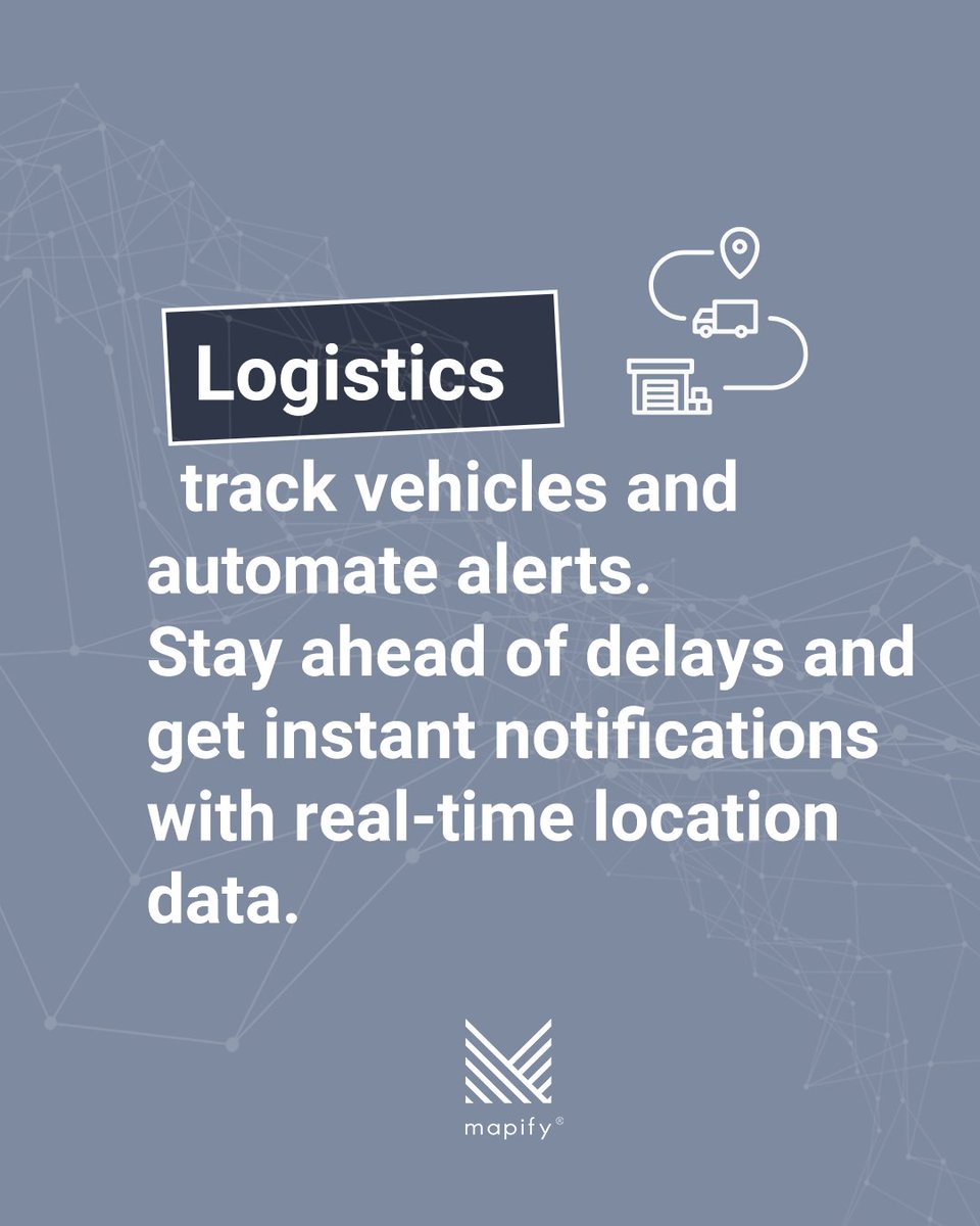
ALT A slide focused on logistics, featuring the word “Logistics” in a dark box and icons of a truck, pin, and warehouse. The text explains that Mapify tracks vehicles, automates alerts, and delivers real-time notifications to stay ahead of delays. The background maintains the geometric wireframe style with the Mapify logo below.


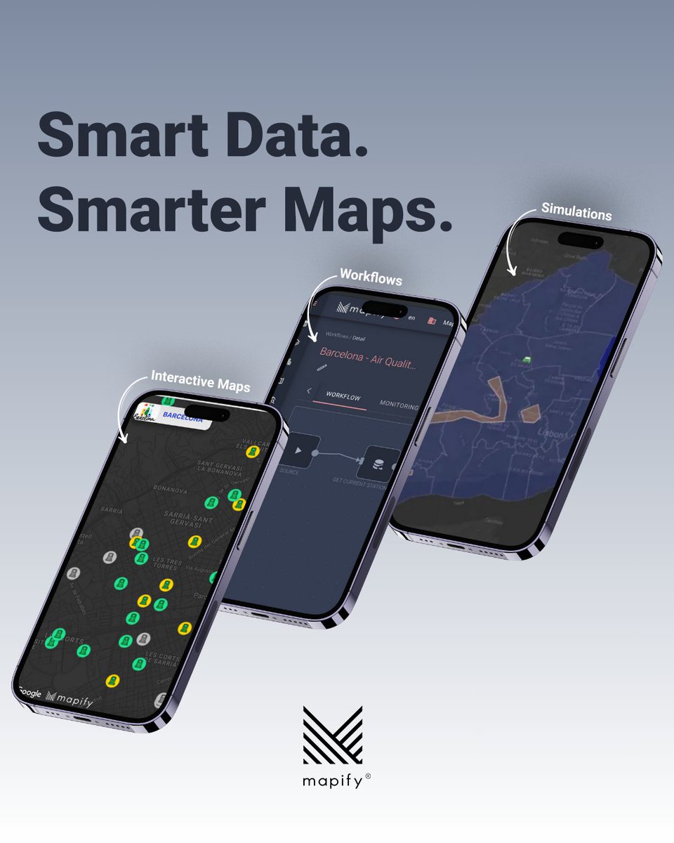
ALT Three smartphones are displayed diagonally across a gradient background with the tagline “Smart Data. Smarter Maps.” written in bold at the top. Each phone showcases a different feature of the Mapify platform. The left phone shows an interactive map of Barcelona with colored location markers. The center phone displays a dark interface titled “Barcelona – Air Quality” with a visual workflow builder. The right phone shows a simulation map with shaded regions. Arrows and labels point to each screen: “Interactive Maps,” “Workflows,” and “Simulations.” At the bottom is the Mapify logo.
ALT A humorous illustration features two cartoon brains. The top half shows a pink brain character wincing in pain, with the caption: "When building complex workflows makes your brain hurt..." The bottom half shows a smiling, happy brain holding a drag-and-drop icon, with the caption: "Mapify lets you automate it with drag-and-drop. No aspirin needed." At the bottom is the Mapify® logo.
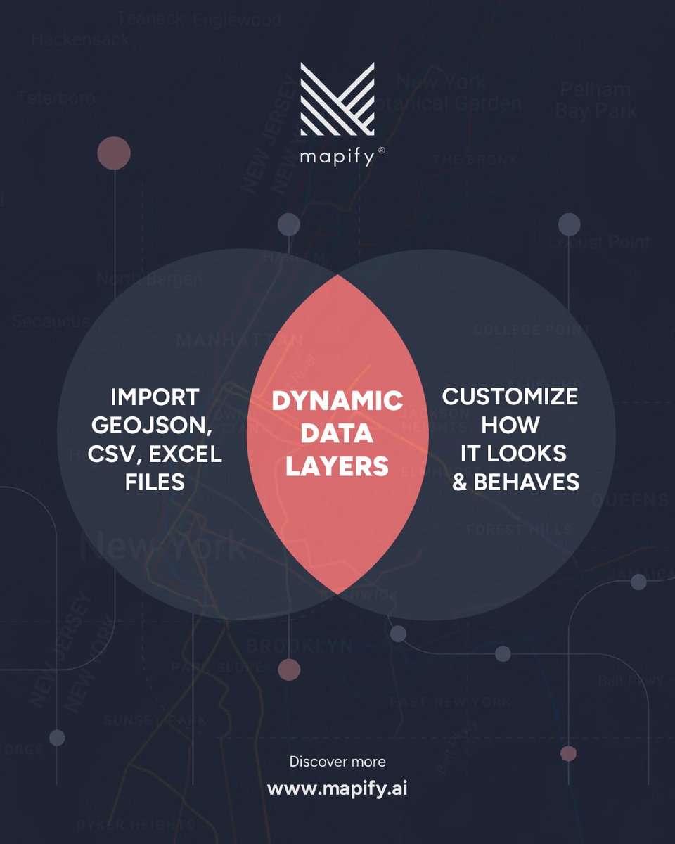
ALT A dark-themed infographic from Mapify® showing a Venn diagram with two overlapping circles. The left circle reads: “IMPORT GEOJSON, CSV, EXCEL FILES”, and the right circle reads: “CUSTOMIZE HOW IT LOOKS & BEHAVES.” The overlapping center area is highlighted in red and says: “DYNAMIC DATA LAYERS.” Above the diagram is the Mapify® logo. In the background, a subtle map of New York City is visible. At the bottom, it says: “Discover more www.mapify.ai.”
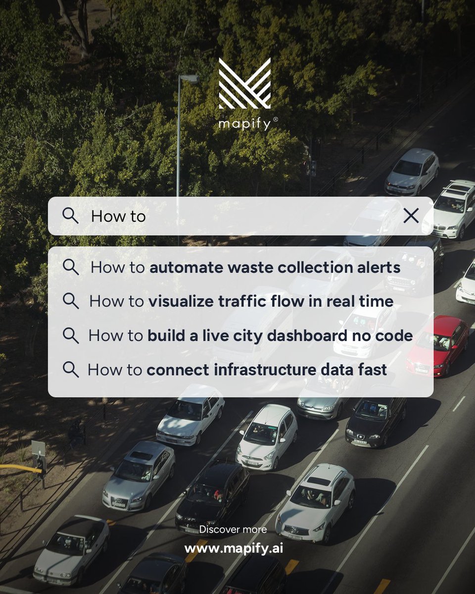
ALT A promotional graphic for Mapify featuring a bird’s-eye view of a city road with cars in traffic. At the top, the Mapify logo is visible. A search bar appears over the image with the prompt “How to,” followed by suggestions. At the bottom, it reads “Discover more” with the website www.mapify.ai.