After 18 years as our team leader, Paul has retired! Enjoy your retirement, Paul! 👴🏻🗺️⚒️
Please update your contacts to email our team: nmmr@osmre.gov or call Jess Reitz (412) 937-2114.
“If words cannot repay the debt we owe these men, surely with our actions we must strive to keep faith with them and with the vision that led them to battle and to final sacrifice.” —Ronald Reagan
From the NMMR, we wish you all a happy and safe Memorial Day! #freedom250#minemap
ALT Detailed block diagram of a Vietnam pit showing layered geological strata and contour lines in a 3D perspective.
Bonus edition of “How It’s Done”! Archives Specialist Jessica shows how to safely humidify documents using an easy, at-home setup. It’s one of the ways the NMMR preserves and scans historic mine maps for future generations. Check it out here: youtu.be/B8wx70jkNWc#howitsdone
ALT Person in green shirt stands beside old mining maps displayed on a wall in a National Mine Map Repository setting.
It's time for the next step in our How it's Done Series! This month, we focus on our Scan Processing step. In this step, we take a newly scanned document, and we crop it, position it to the north, add our title block and make sure it is ready for public view! #howitsdone#minemap
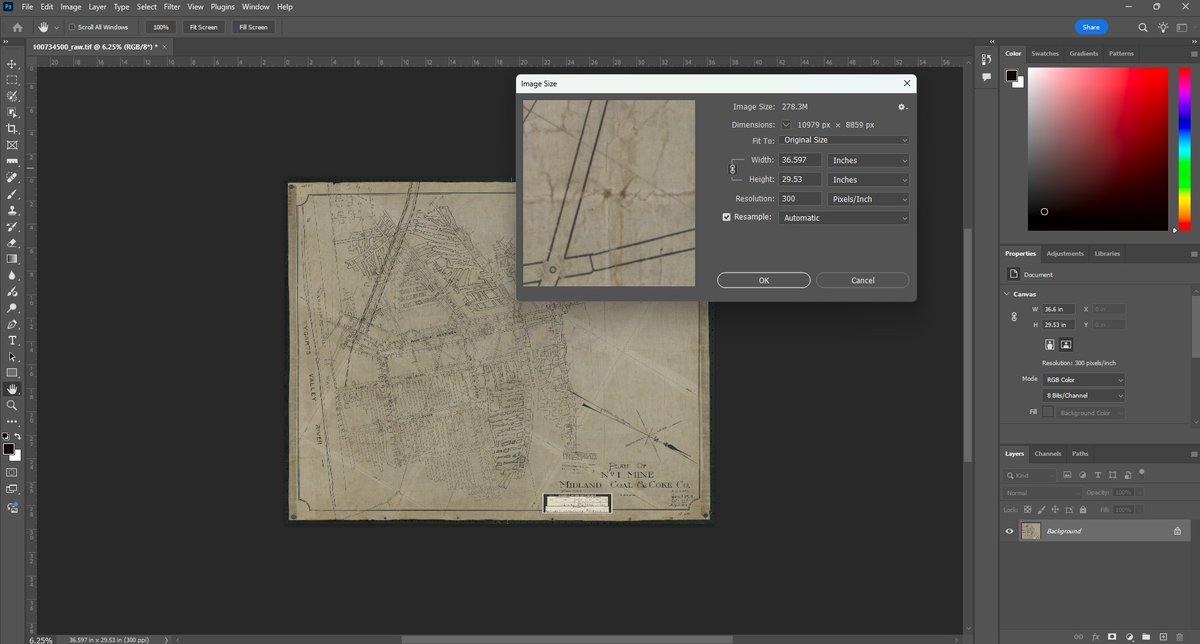
ALT Photoshop interface showing an old, weathered map being resized with the Image Size dialog open.
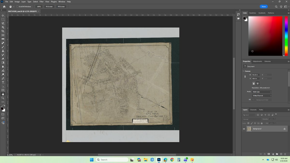
ALT Old, weathered map displayed in Photoshop with visible creases and annotations on a beige background.
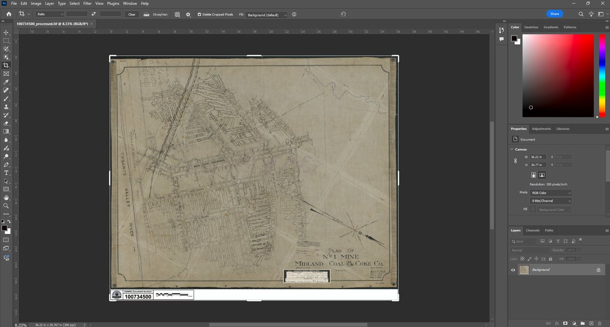
ALT Vintage map of a city layout with streets and plots, displayed in a photo editing software interface.
“Motherhood is the biggest gamble in the world. It is the glorious life force. It’s huge and scary – it’s an act of infinite optimism.” —Gilda Radner
Wishing all the mother's out there a very Happy Mother's Day! 💐 #minemaps#freedom250#happymothersday
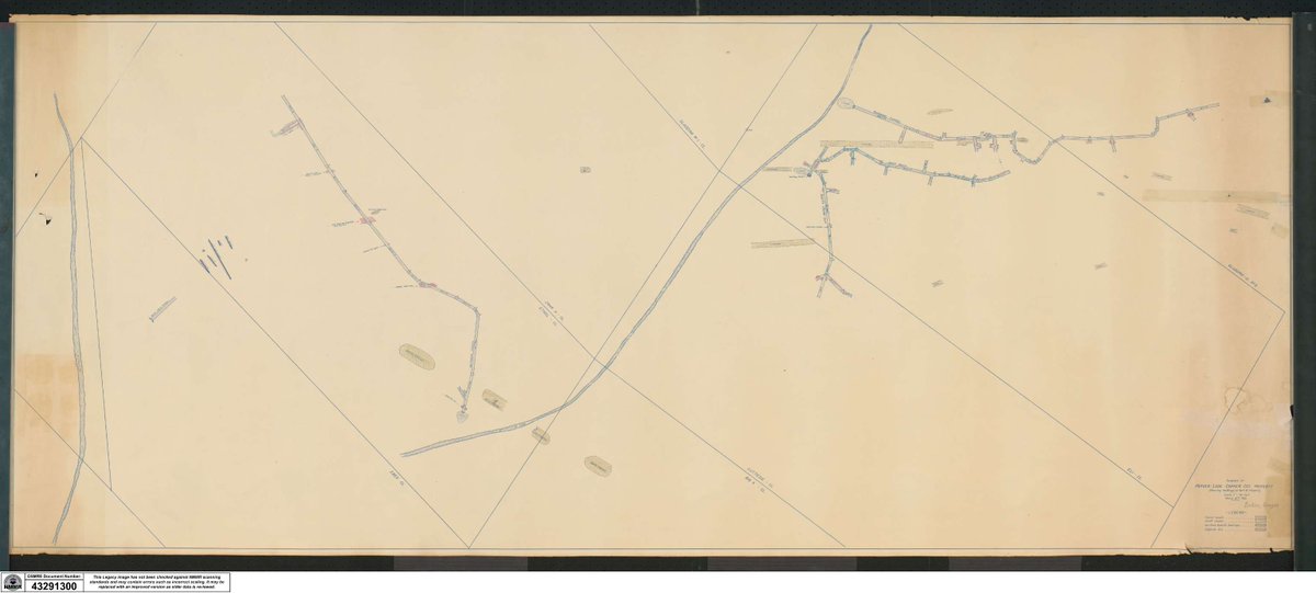
ALT Vintage map showing detailed layout of roads and small settlements in a rural area with handwritten annotations.
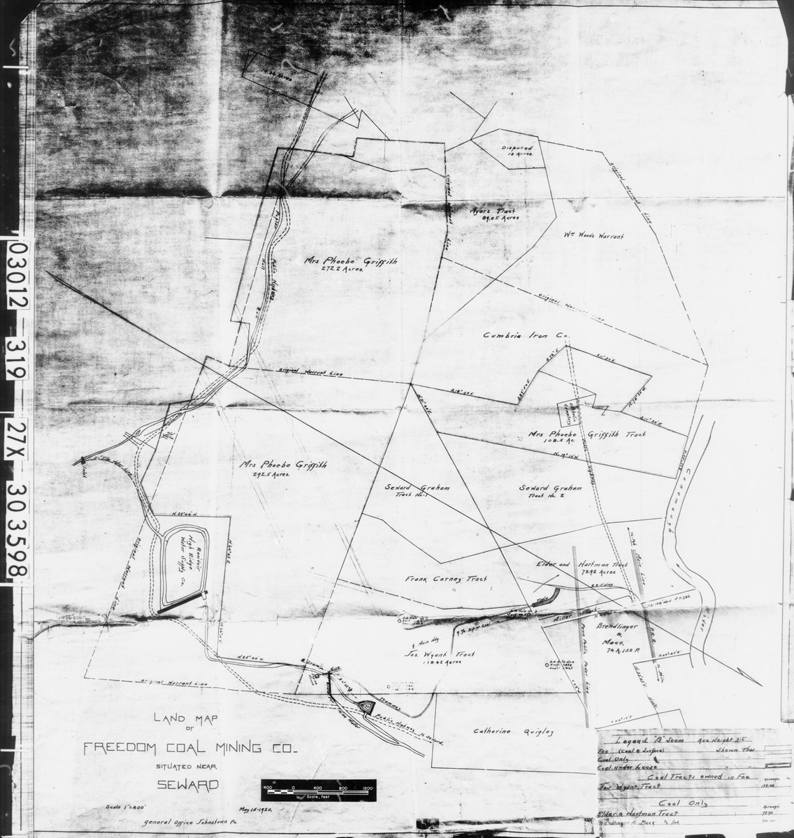
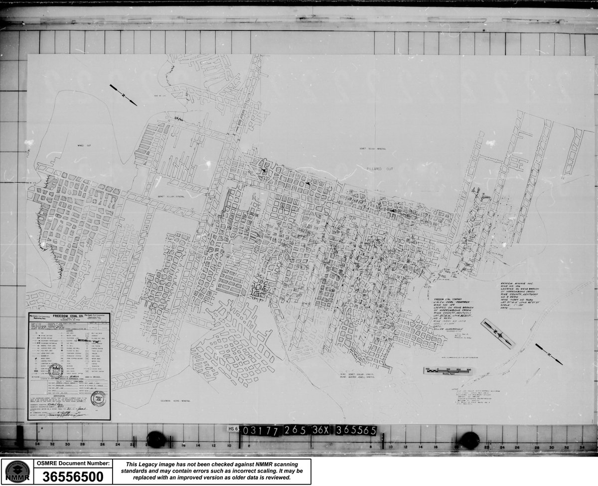
This month's How It’s Done looks at scanning. At the NMMR, we use specialized large-format table scanners designed to manage the oversized maps we receive. These tools allow us to capture fine details with precision & care. Check out the video to see one in action! #howitsdone
Here comes Peter Cottontail… hopping down our bunny trail! 🐰
Hippity hoppity—Easter is on its way, and we’re egg-stra excited to celebrate with you! 🐣
From all of us at NMMR, we’re wishing you and your loved ones a joyful, and very bright Easter! 💛🌷 #minemaps#freedom250
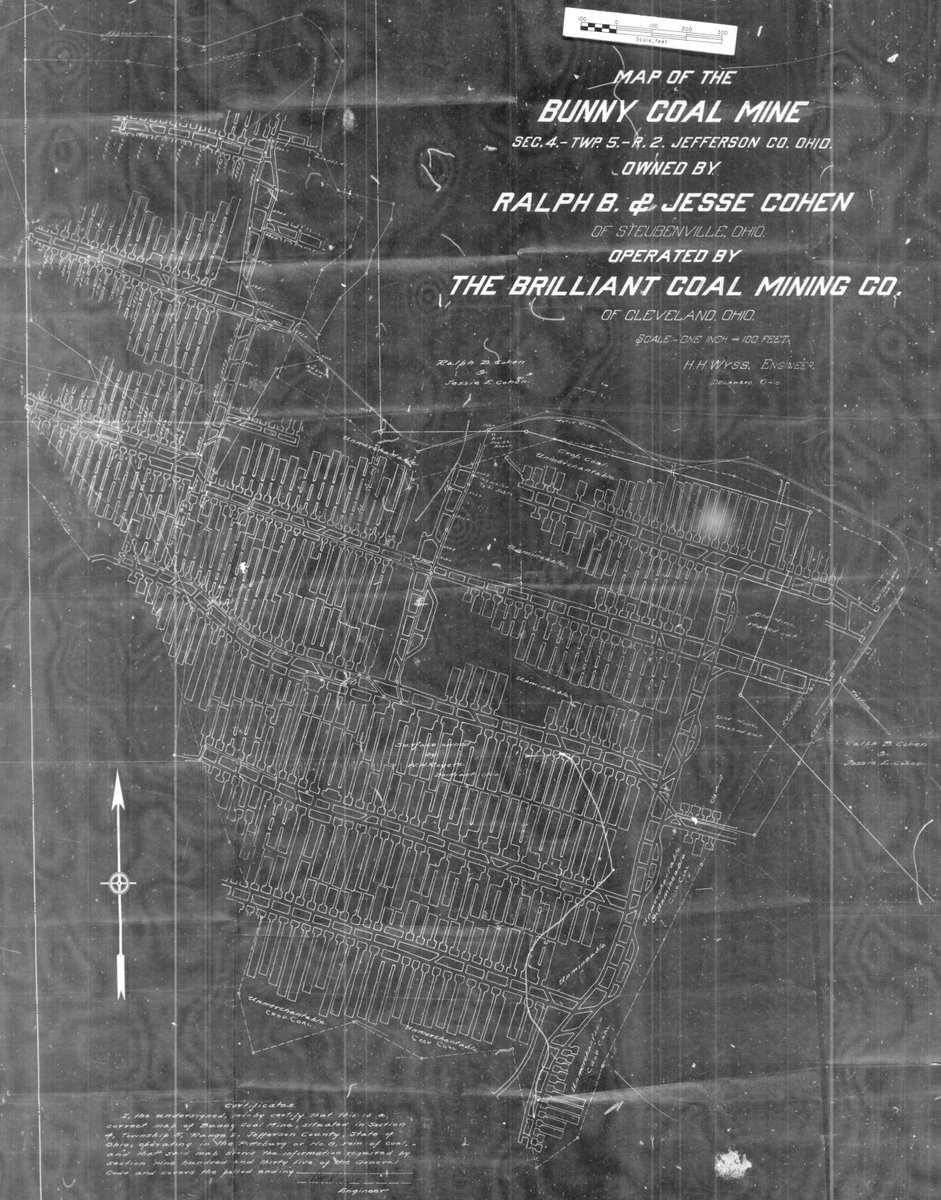
ALT Detailed blueprint map of Bunky Coal Mine in Jefferson County, Ohio, showing mine shafts and tunnels owned by Ralph B. & Jesse Cohen.
🍀 Need a little extra luck this St. Patrick’s Day?
Here at the NMMR, we’re hoping the Good Luck Mine, the Shamrock Mine and the Rainbow Mine send some Luck o’ the Irish your way! 🌈
Wishing everyone a safe and lucky St. Patrick’s Day! #minemaps#freedom250
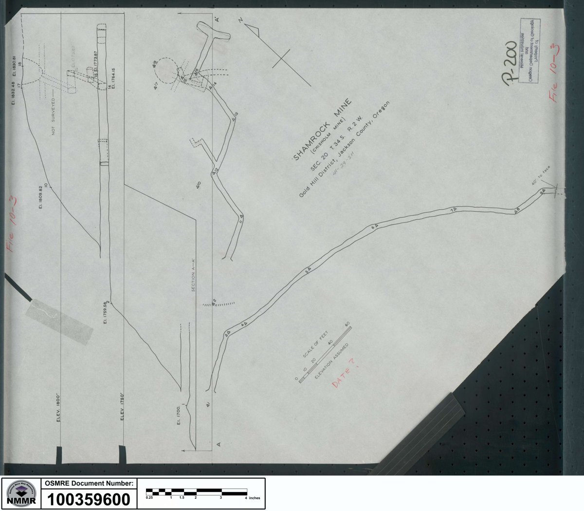
ALT Technical drawing of Shamrock Mine showing detailed track layout and measurements on a blueprint sheet.
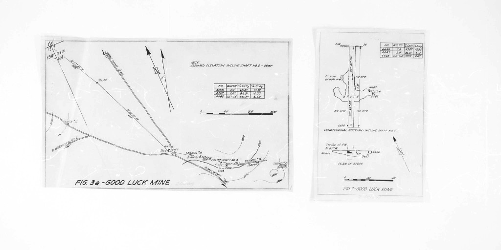
ALT Technical schematic showing detailed layout and directional arrows for the Good Luck Mine site plan.
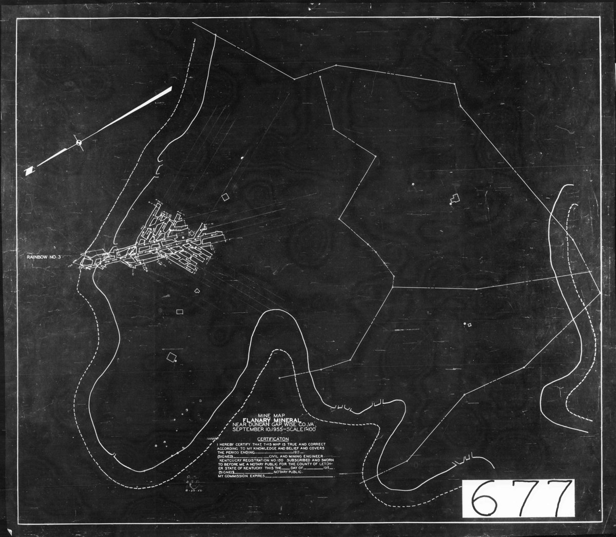
ALT Black and white map showing the layout of Flanders Mineral Mining Company with winding river boundaries and detailed mining structures.
Post #3 is Inventory! Every map that enters NMMR is first inventoried. Our team checks if it’s a duplicate or new addition. If it’s new, we assign a unique NMMR ID in our database & place the number on the back of the map to keep our collection organized & preserved. #howitsdone
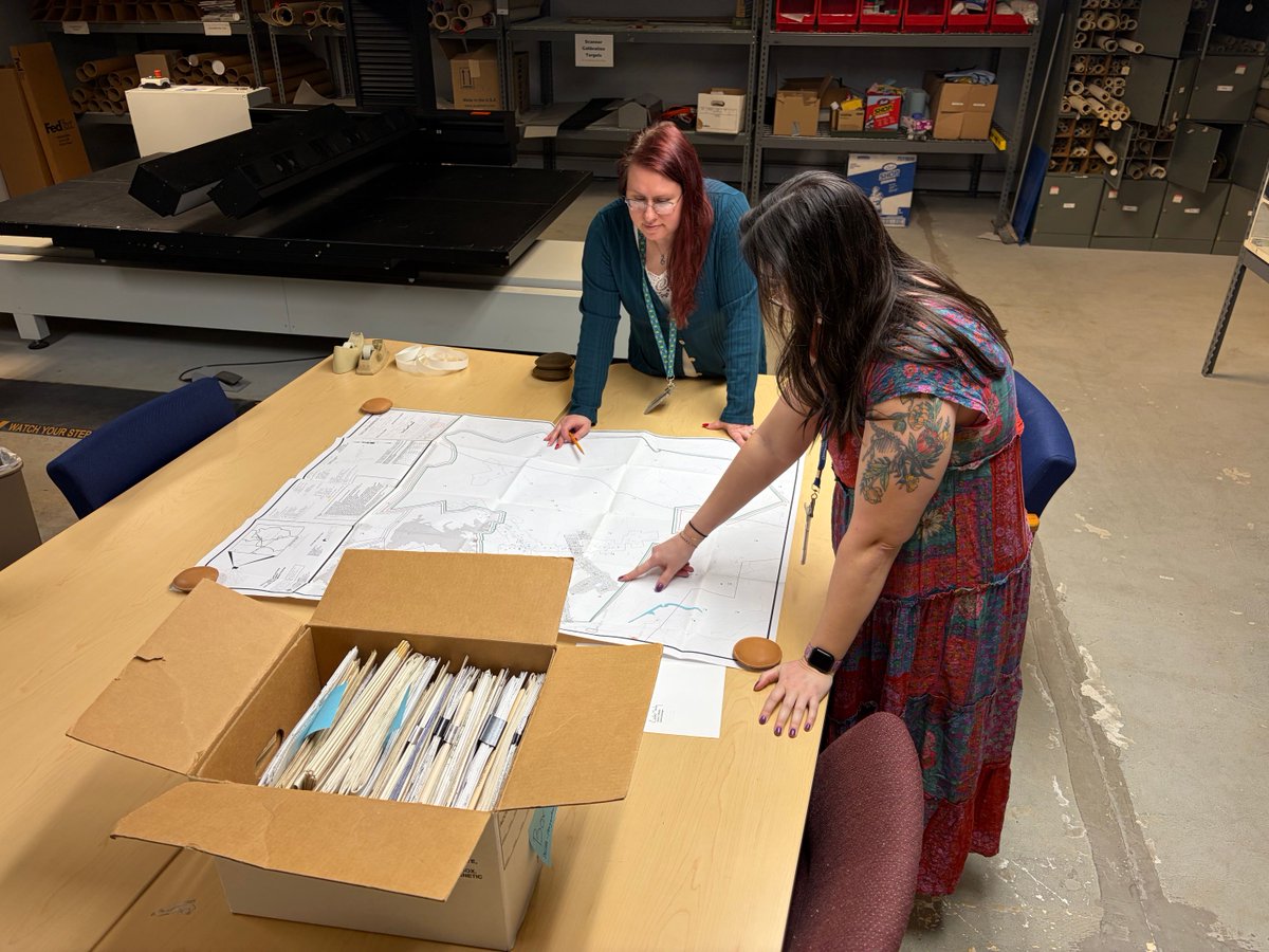
ALT Two women examining large architectural blueprints spread out on a table in a storage room filled with shelves and boxes.
ALT Person writing with a pencil on a white sheet of paper placed on a wooden desk.
This President’s Day, we reflect on the leaders who shaped our nation and celebrate the legacy of our first president. Originally honoring George Washington’s birthday, we mark the occasion this year at the Washington Mine in Denver, Colorado. #minemaps#freedom250
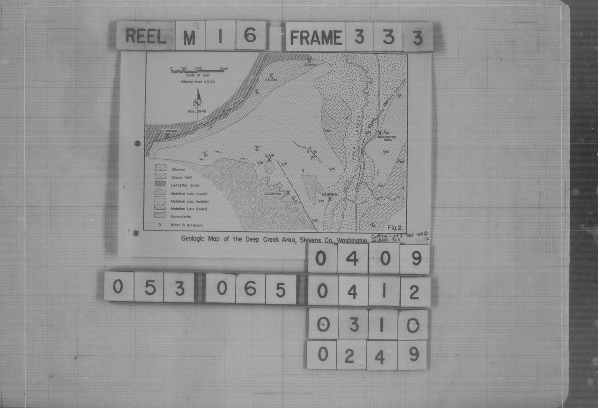
ALT Black and white geologic map showing the Deep Creek Area in Stevens County with labeled rock formations and fault lines.
Post #2 of How It’s Done! This month highlights how we acquire our maps. While many are mailed, some require an in-person pickup—often from dusty, cluttered storage rooms. Pictured are NMMR staff carefully passing down rolls of maps in Smithton, PA. #minemaps#freedom250
What do you want from your Valentine this year — flowers, chocolates, or jewelry? 💐🍫💍
How about sweets instead? 🍬
This Valentine’s Day, the NMMR is offering the Sweetest gift of all: the “Sweet” Mine in Utah ❤️
Happy Valentine's Day! #minemaps#freedom250
ALT Detailed black and white blueprint of Sweet Mine coal mining tunnels and shafts in Utah by Sweet Coal Co.
Public meeting is today! We are conducting an environmental review for a proposed surface mining permit in the No Name area at Navajo Mine. For more details on the review and how to submit comments, visit: osmre.gov/news/OSM-PublicCom…
January 19 is a day of remembrance. A day to reflect on the courage and vision of Dr. Martin Luther King Jr., who urged us to “Let freedom ring.” In his honor, we share the Freedom Mine in Pike County, Kentucky. #nmmr#inremembrance#martinlutherkingjrday#freedom250
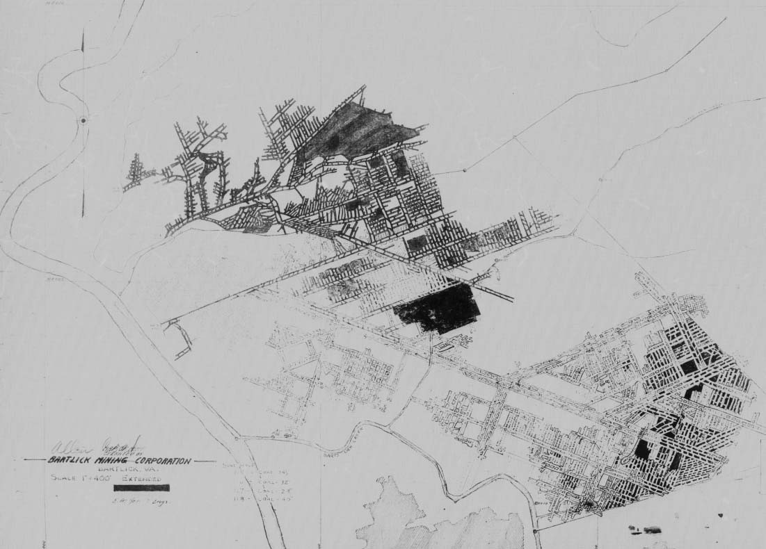
ALT Detailed black and white mine map showing streets, blocks, landmarks, and underground mine workings with a grid overlay and official stamps in the corner.
Curious about how maps are added to the NMMR’s public-facing database? Throughout this year, we’ll take you behind the scenes. Check back monthly to learn how the NMMR locates, reviews, and publishes maps through the National Mine Map Repository. #MineMaps#HowItsDone
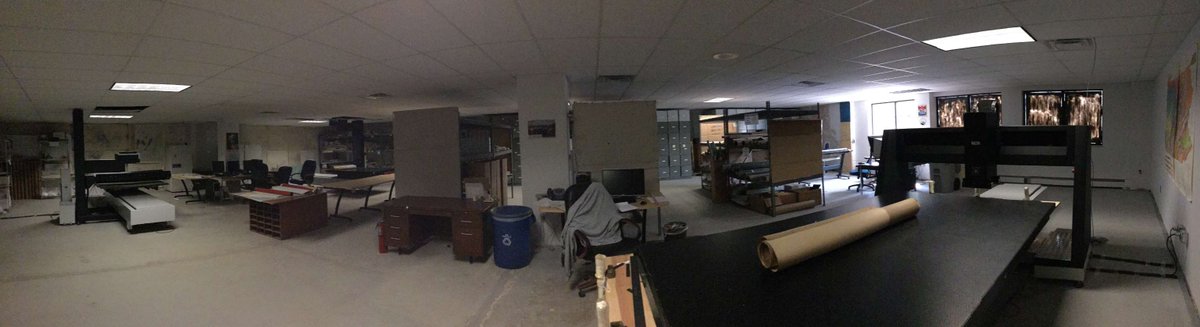
ALT Wide view of a spacious basement workshop with various tables, storage shelves, and equipment scattered around the room.
While working on a recent project, the NMMR team came across a photo of draftsman Francis L. Thompson creating a map for the Clinchfield Coal Corp. — the same Splashdam Mine map from our collection! It's always exciting to find historical context for the maps we hold. #minemaps
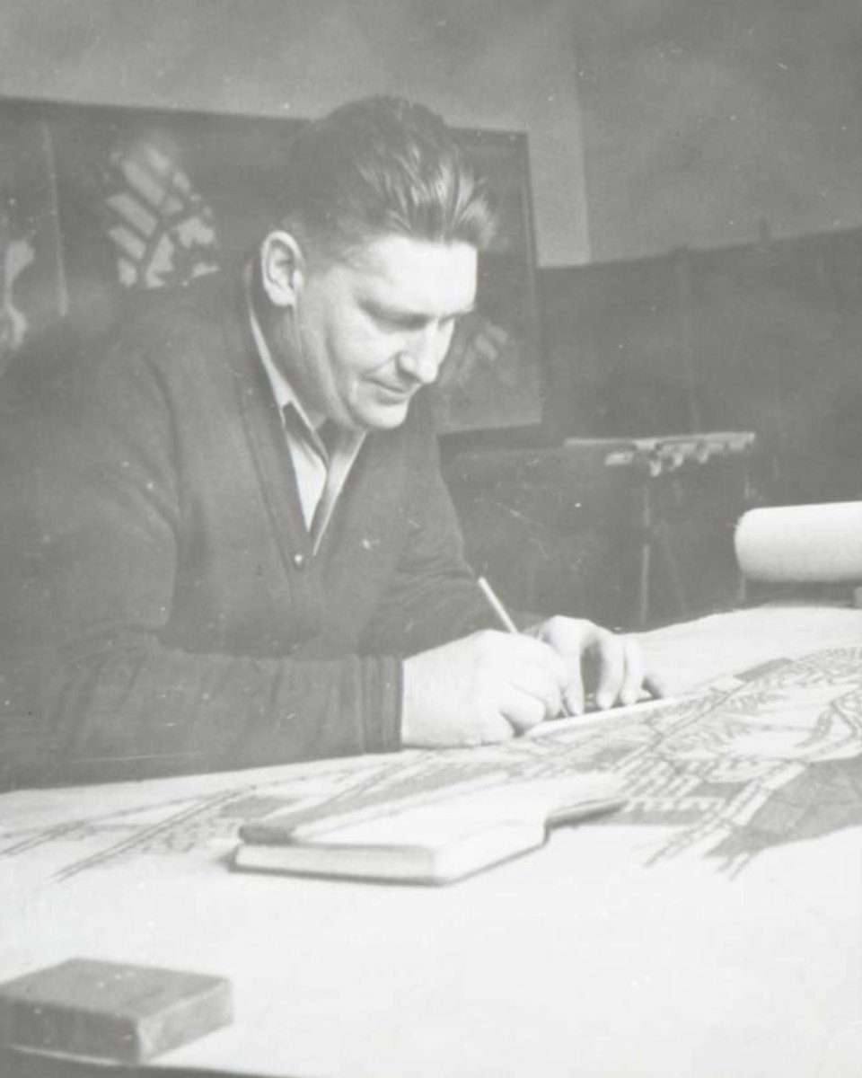
ALT Picture of Francis L Thompson drawing a mine map
ALT An underground Mine Map of the Clinchfield Coal Corp's Splashdam Mine in Dickenson County Virginia
As we approach July 4th, we recognize the key achievements that have shaped our nation, including coal mining. This year, the NMMR highlights the Independence Mine in Colorado. Join us in reflecting on its important contributions to our history. #independenceday#minemaps
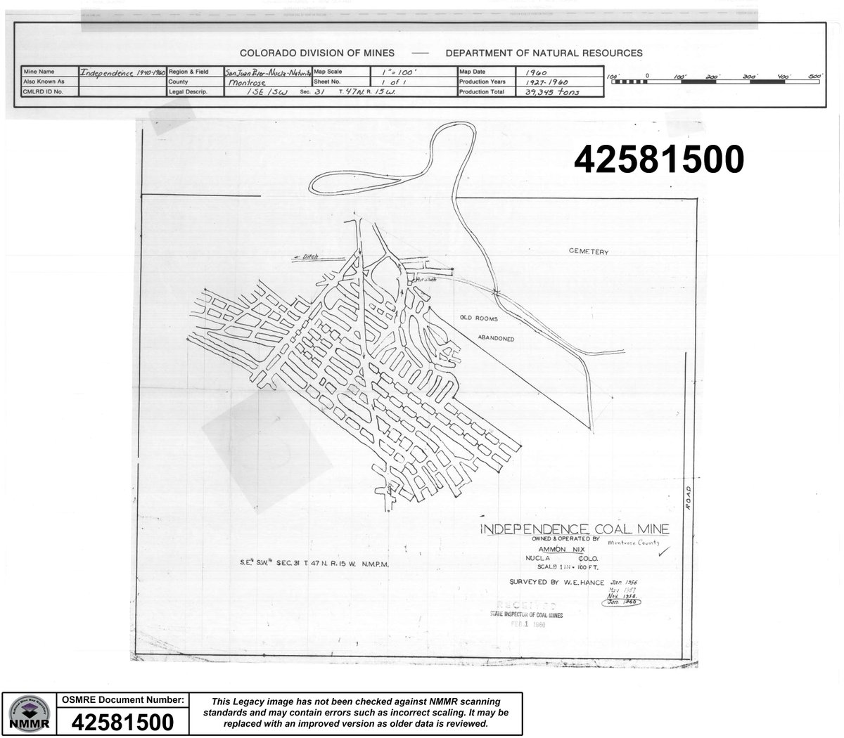
ALT Black and white schematic map of Independence Coal Mine in Montrose County, Colorado, showing mine tunnels, old rooms, and cemetery area from 1960.
Happy International Women's Day! Here is NMMR document # 429470 of the New Woman's Mine in New Mexico. This map depicts a hard rock mine and reminds us of contributions by women to every field, including mining. #minemaps#womensday
ALT Picture depicts an Abandoned Mine map of a Plat for the New Woman's Mine
Ever heard the phrase "In like a lion, out like a lamb"? Here are 2 documents that fit this phrase very well! NMMR Doc # 1002264 is of the Lion Mine in Utah and Doc # 379991 is of the Lambs Gulf North Mine in Tennessee. Do you think March will come in like a lion? #nmmr#minemap
ALT Abandoned Mine map depicting the Lion Mine in Utah
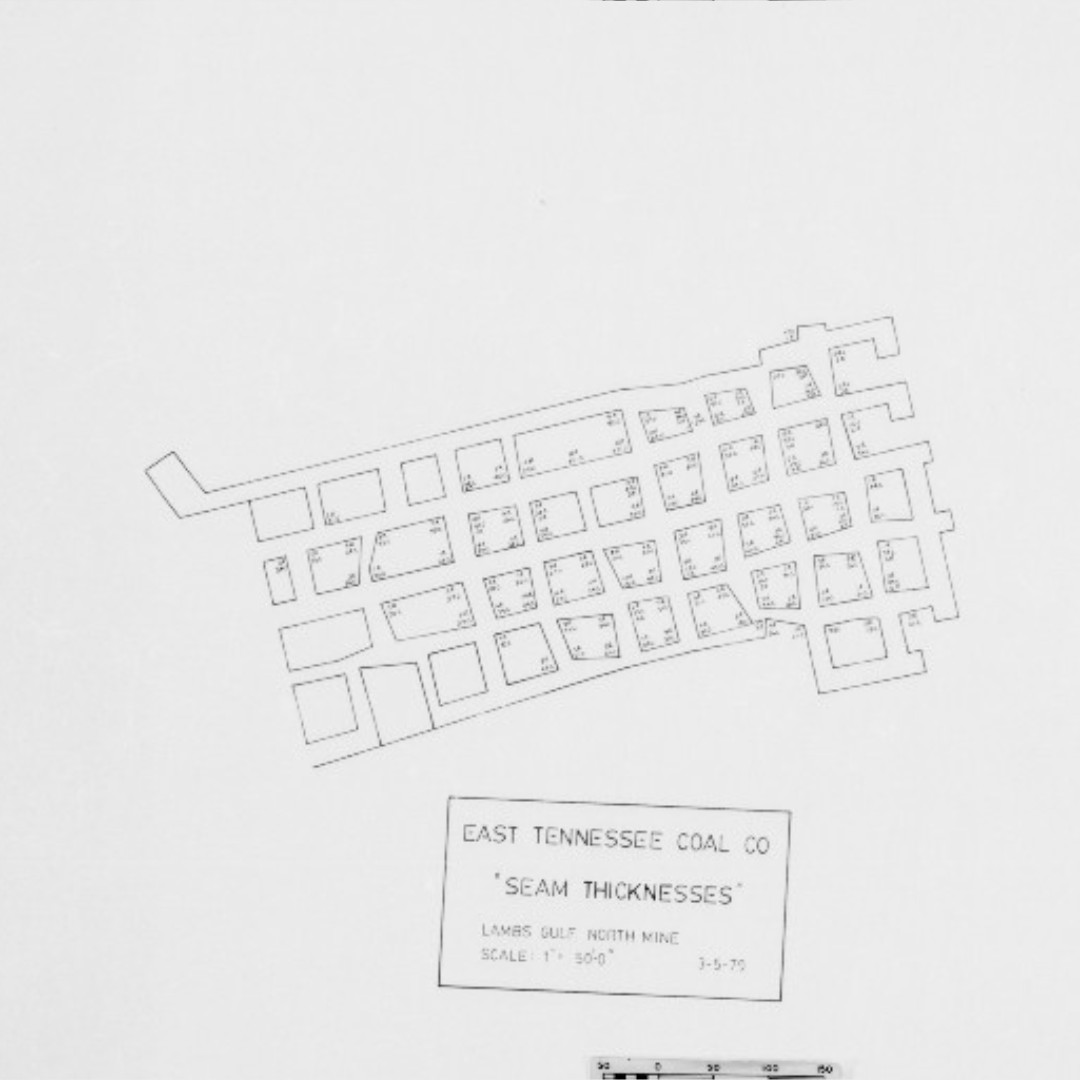
ALT Abandoned Mine Map depicting the Lambs Gulf North Mine in Tennessee
#DYK Our mine map repository serves the energy industry? 35% of this month's clients were from private industry, including #coal & engineering companies!
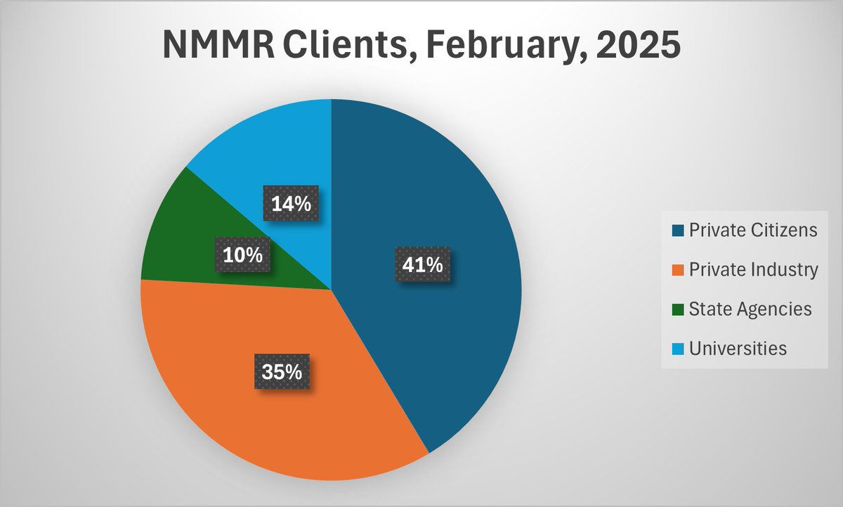
ALT A pie chart displays NMMR clients in February 2025. 41% private citizens, 35% private industry, 10% state agencies, and 14% universities