
We make satellite data exploitation easier to enable new solutions for environmental and societal challenges.
Joined October 2013
- Tweets 1,903
- Following 1,371
- Followers 320
- Likes 386
166 Photos and videos


🌊 A new release of the ALES (Adaptive Leading Edge Subwaveform) services for the ERS-2 and ENVISAT missions, spanning nearly two decades of observations from 1995 to 2012, is now available on our EarthConsole platform.
🔗Learn more: earthconsole.eu/ales-evolves…
123
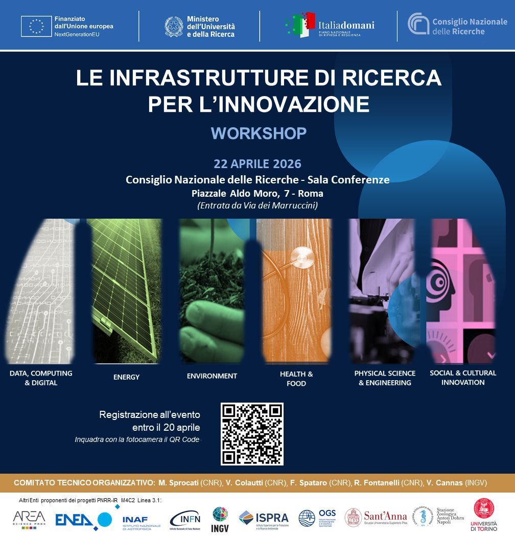
Tomorrow we’ll be at the “Research Infrastructures for Innovation” workshop by @CNRsocial_
A key moment to discuss how to turn research into real-world impact, making results usable & scalable.
📩Let’s connect: sales@progressivesystems.it
🔗progressivesystems.it/progre…
5
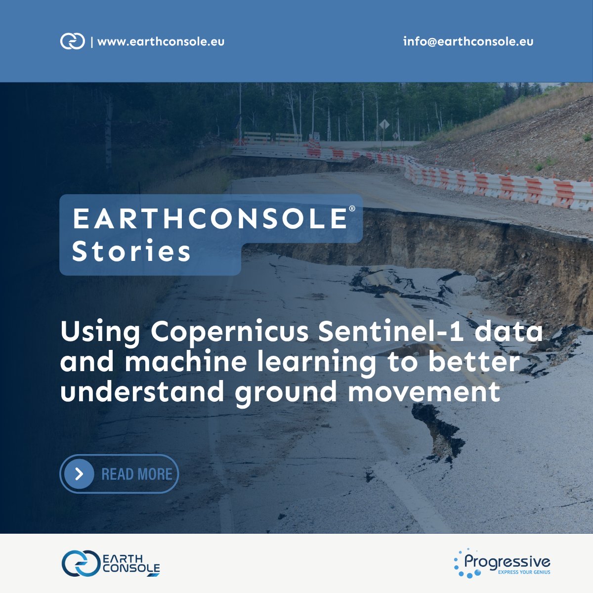
Understanding ground movement is key to infrastructure & environmental risk management. In this EarthConsole Story, Alberto García Navarro (Politecnico di Torino) tells how he uses S1 data ML to detect deformation & its drivers, leveraging P-SBAS for S1: earthconsole.eu/earthconsole…
14

18 Jul 2025
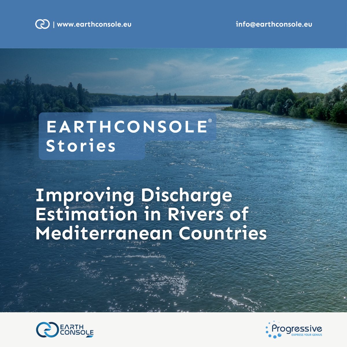
🌊Monitoring water levels, especially in narrow rivers, may be challenging with standard satellite measurements. The DEMETRAS project by @CNR_IRPI resorted to the @ARESYSSRL FF-SAR processor on our EarthConsole to explore a solution to this.
🔗Read more: earthconsole.eu/earthconsole…
37
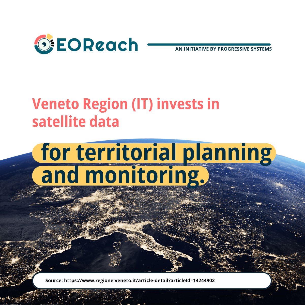
15 Jul 2025
The Veneto Region invests in #satellitedata for territorial planning. A reminder that #earthobservation can help manage natural resources and support sustainable growth. 🔗regione.veneto.it/article-de…
----
📨Let's turn EO data into real-world solutions info@progressivesystems.it.
19
30 Jun 2025
When we think about climate change, CO₂ usually gets the spotlight. But methane drives 30% of global warming. Satellite AI monitoring can help detect methane leaks quickly🔗weforum.org/stories/2025/06/…
----
📨Let's turn EO data into real-world solutions info@progressivesystems.it.
40
25 Jun 2025
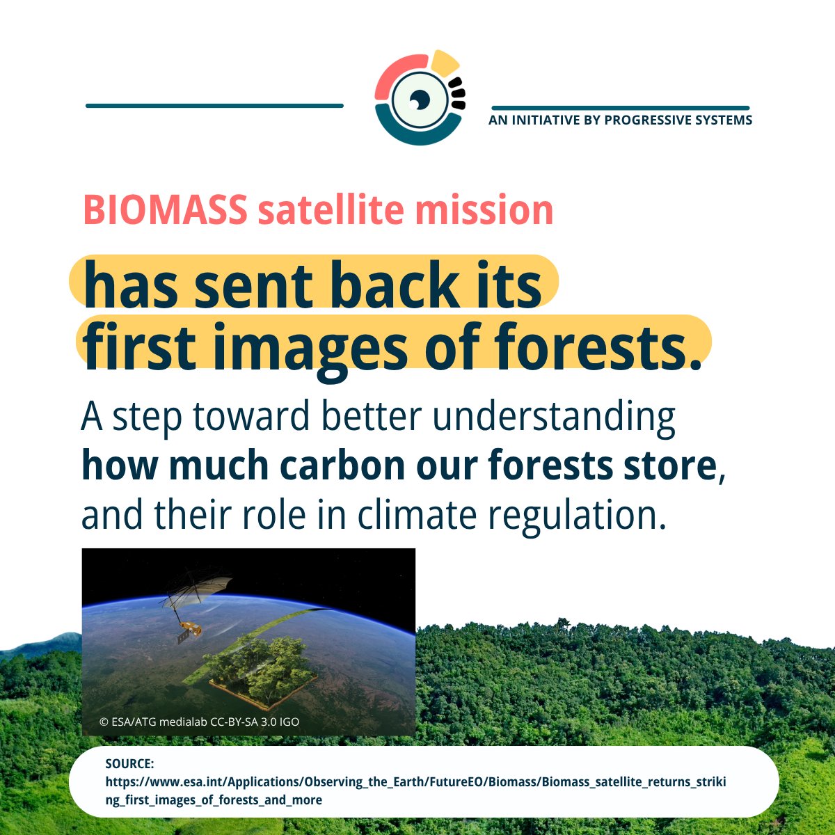
🌍 A deeper way to see our forests.🛰️ ESA #Biomass satellite just sent back its first images, a major step in understanding how forests store carbon and regulate climate.
🔗esa.int/Applications/Observi…
----
📨 Let's turn EO data into real-world solutions info@progressivesystems.it.
33
18 Jun 2025
🥵2024: Europe’s hottest year on record and cities are on the frontlines. Heatwaves, floods, droughts: risks are rising but knowing where & how to act isn’t easy.
#EarthObservation can help cities plan safer and more resilient neighbourhoods ⬇️
Source: copernicus.eu/en/news/news/o…
1
38
18 Jun 2025
Sources & Credits:
copernicus.eu/en/news/news/o…
copernicus.eu/en/news/news/o…
climate-adapt.eea.europa.eu/…
lifeviadelaplata.com/
esa.int/Applications/Observi…
Picture European Green Deal © fondazionefeltrinelli.it/sco…
Picture European Climate Law © ec.europa.eu/newsroom/clima/…
Satellites Video © ESA
20
11 Jun 2025
☀️What if solar panels didn’t need land? In India, floating solar is growing fast and satellite data could help monitor these assets remotely.
----
📨Let's explore how #earthobservation can support your solar assets: info@progressivesystems.it
🔗Source: earthobservatory.nasa.gov/im…
34
9 Jun 2025
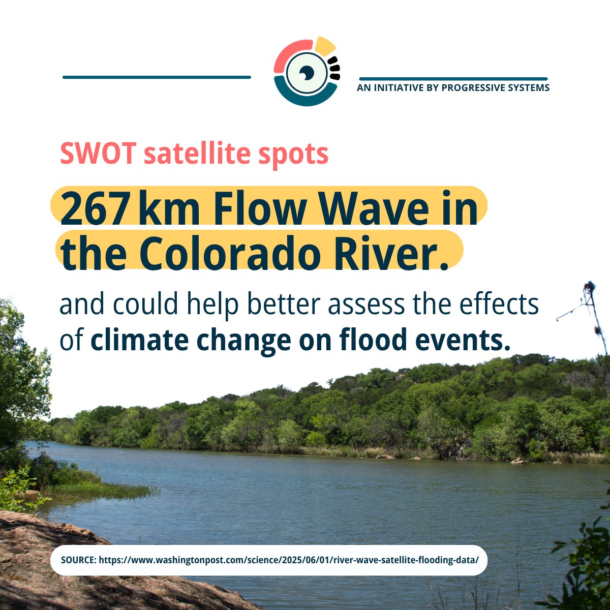
🌊 How fast can a flood arrive? Can satellites warn us in time? For the first time, scientists used the SWOT satellite to detect river flow waves across 100s of km — once only possible with ground sensors. A game-changer for flood risk prediction.
🔗washingtonpost.com/science/2…
29
5 Jun 2025
Think #earthobservation is just for space agencies? This myth (and 4 others) might be holding your business back.
🔍 In our latest article, we break down 5 common myths that could be limiting your strategy and show how EO is more accessible than ever.
👀linkedin.com/pulse/think-ear…
20
4 Jun 2025
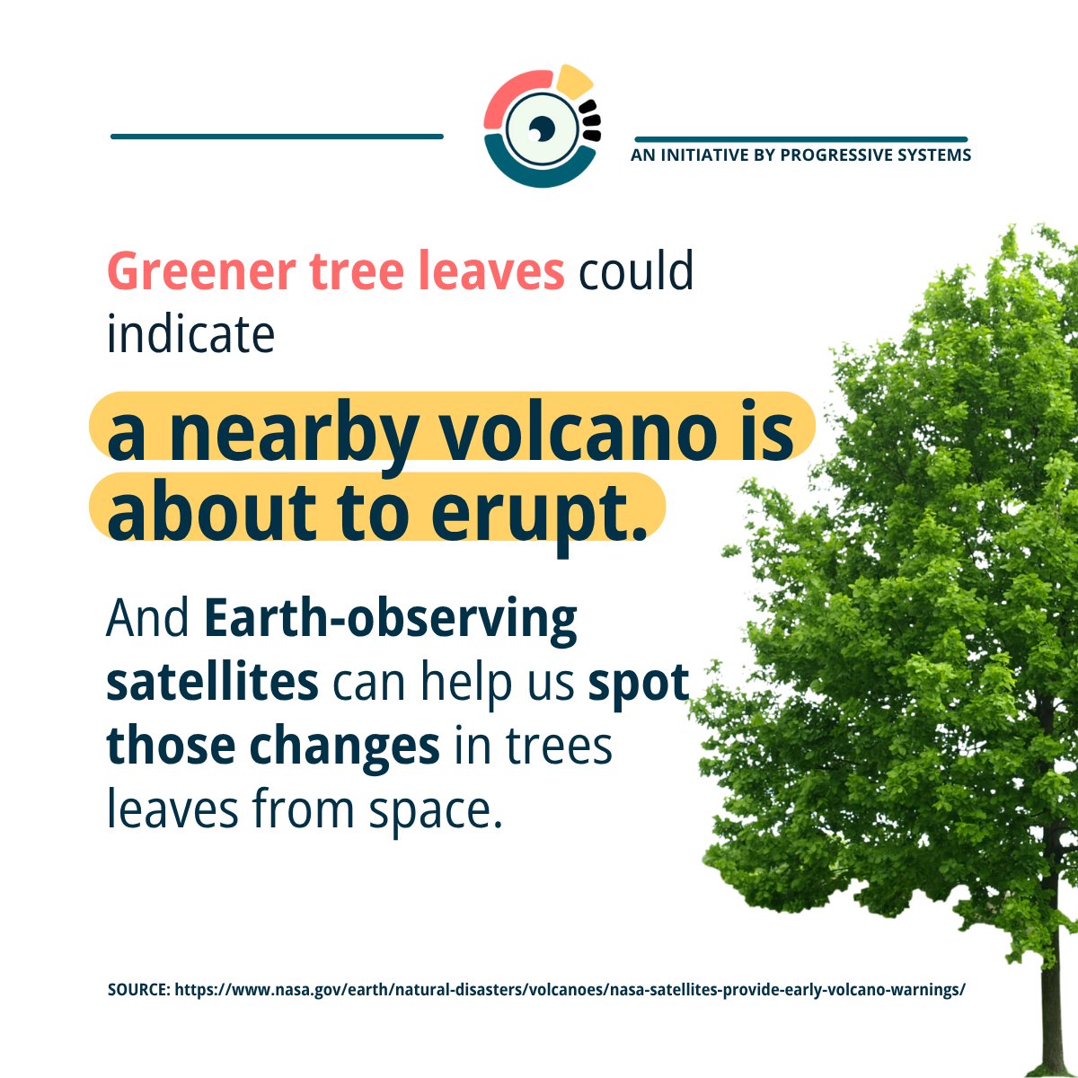
🌋 Volcanoes don’t erupt without warning, and #earthobservation helps us catch the signs early. Satellites can spot greener trees near volcanoes, a possible sign of rising magma and increased activity.
🔗nasa.gov/earth/natural-disas…
📩 Let’s talk EO data: info@progressivesystems.it
31
28 May 2025
Sources:
UNOOSA and FAO. 2025. Leveraging space technology for agricultural development and food security. Vienna. doi.org/10.4060/cd3989en
ESA WorldCereal: esa-worldcereal.org/en
28 May 2025

🌾See what’s growing from space🛰️ Satellite data helps farmers and decision-makers track #crops, plan more strategically, use water wisely, and strengthen #foodsecurity.
----
To use satellite crop data to boost your farming decisions, let’s talk: info@progressivesystems.it.
35
28 May 2025
🌾See what’s growing from space🛰️ Satellite data helps farmers and decision-makers track #crops, plan more strategically, use water wisely, and strengthen #foodsecurity.
----
To use satellite crop data to boost your farming decisions, let’s talk: info@progressivesystems.it.
71
26 May 2025
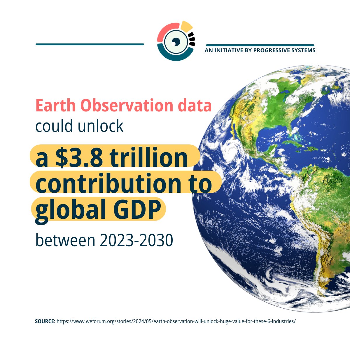
🌍Earth Observation is driving a revolution across multiple industries.
📊 According to the World Economic Forum, EO data could unlock $3.8 trillion in global GDP by 2030.
🔗 Read more: weforum.org/stories/2024/05/…
📩 Explore EO for your business: info@progressivesystems.it
29
23 May 2025
🌊 Can satellite data help protect one of India’s most vulnerable coastlines? Yes—and it’s happening now.
The C3-eKerala project led by @nersc_no used our #EarthConsole to process radar altimetry data, to inform and influence Kerala climate policy.
🔗earthconsole.eu/earthconsole…
37
21 May 2025
🛰️ Droughts can be hard to predict — unless you’re watching from space. Satellite data is helping farmers act before it’s too late.
▶️ Watch how Earth Observation data is changing the game.
—
📨 Let's connect: info@progressivesystems.it.
Source: copernicus.eu/en/news/news/o…
30
20 May 2025
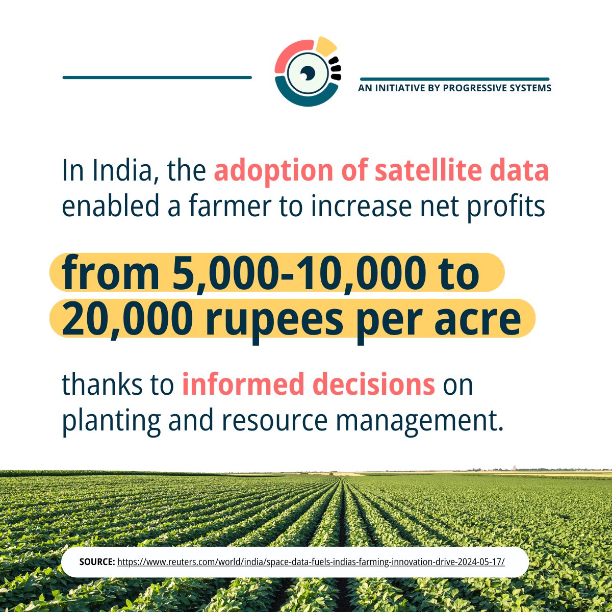
#EOReachFactOfTheWeek
In India, #EarthObservation is transforming farming🌾
According to McKinsey, agri-tech in India could increase farmers' incomes by 25% to 35%.
🔗Read more via Reuters: reuters.com/world/india/spac…
📨Bring EO to your fields: info@progressivesystems.it
38
15 May 2025
🛰️ Satellite data that help you make better decisions — every day? Let’s make it happen.
Introducing #EOReach by @progressive_EO — bringing the real value of Earth Observation to your business, your organization, your challenges.
📺 Watch the teaser.
🔔 Follow for updates.
59