
Joined May 2022
- Tweets 246
- Following 5
- Followers 360
- Likes 38
150 Photos and videos


Pinned Tweet

Jan 11
Following a review of our social media presences, we're moving!
You can find future updates from us at Bluesky @maps.sabre-roads.org.uk, or on Facebook via the main SABRE page (sabre-roads.org.uk), or of course, via SABRE itself (sabre-roads.org.uk).
See you there!
1
109
Jan 5
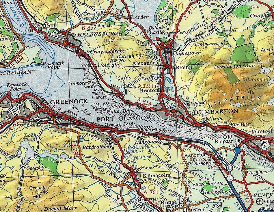
For this #MapMonday, we'll be making sure that all of the Ordnance Survey Quarter Inch #Maps that were published in 1975 are available on SABRE Maps, with the addition of Sheet 6 to add to all the others already available. buff.ly/AWqLo5c
ALT Extract from #OrdnanceSurvey GB Quarter Inch map sheet 6 (Firth of Clyde) from 1975, which completes our full set of all sheets from that year.
80
Jan 2
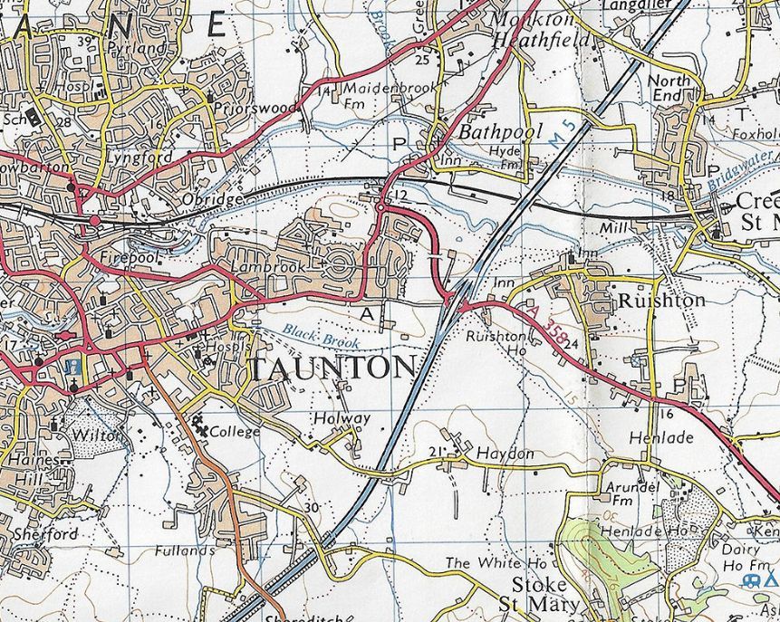
Don't forget that we've also got every single Ordnance Survey Landranger #map from 1975 already online for your delectation and delight. And remember that you can compare them to the 1974 editions (and the previous One Inch maps) using our Map Fader.
buff.ly/6ToTdlJ
ALT Extract from #OrdnanceSurvey OS map Landranger sheet 193 from 1975
101
Jan 1
Happy New Year! And a new year means that another year's mapping drops out of copyright, with OS, OSI and OSNI maps with a copyright date of 1975 now being available to us. As usual, the first is a new OS Route Planning Map for you all to enjoy. buff.ly/SeTLZJl
80
31 Dec 2025
Another map site that we've become aware of, and really like is bustimes.org. It's literally a live map of all buses in Ireland and Great Britain, their location, their route, timetable, and how close they are to being on time. Have a look, and see if you agree!
1
81
22 Dec 2025
For this week's #MapMonday, you can discover the OS London Two Inch Ministry of Transport maps from 1922, and see just where the A1, A2, A3 etc all meet at "point zero" in London. Or not...
buff.ly/o4LHhNd
1
1
1
124
22 Dec 2025
And you can also read an excellent article about this written by our good friends at Roads.org.uk!
buff.ly/RiPxB1b
Welcome to Roads.org.uk!
The homepage of Roads.org.uk, Britain's biggest roads website.
roads.org.uk 60
SABRE Maps retweeted

13 Dec 2025
Looking for Christmas gift ideas? 🎄🎅🏻
Our Skye Bridge anniversary booklet is hot off the press and on sale now! We still have a few left for pre-Christmas dispatch so get your orders in now! 🥳🎄
Order link ⬇️
scottishroadsarchive.org/onl…
#archives #Scotland

2
4
1,866
15 Dec 2025
For those of us who like maps of Europe outside IRL and GB, here's a great new website that we've been made aware of, cartes.gouv.fr, which has a whole load of mapping of France.
We highly recommend looking at their SCAN50 Historique de 1950 - buff.ly/CiDsYh8
1
1
75
3 Dec 2025
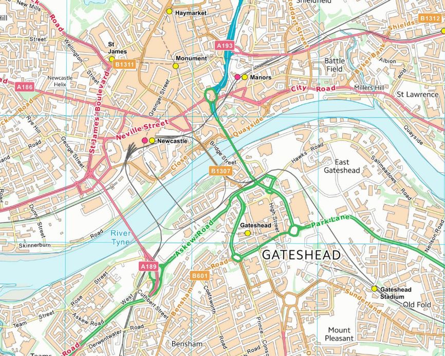
We like to mention sometimes that we have the world's largest freely available repository of relevant Ordnance Survey OpenData #maps - and there's still future plans to bring more. However, as we also periodically ask, we are missing some mapping from our archive.
ALT OS VectorMap District extract from the November 2025 data for the Newcastle and Gateshead central areas, showing (or rather not showing) the recently removed Gateshead Flyover.
1
64
3 Dec 2025
Today's ask is simple. We're currently missing some VectorMap District data. Do you have copies that we don't have that you can share with us? If so, please DM us!
We're looking for both Vector (Shapefile) and Raster (TIFF) mapping from before May 2019.
Can you help?
44
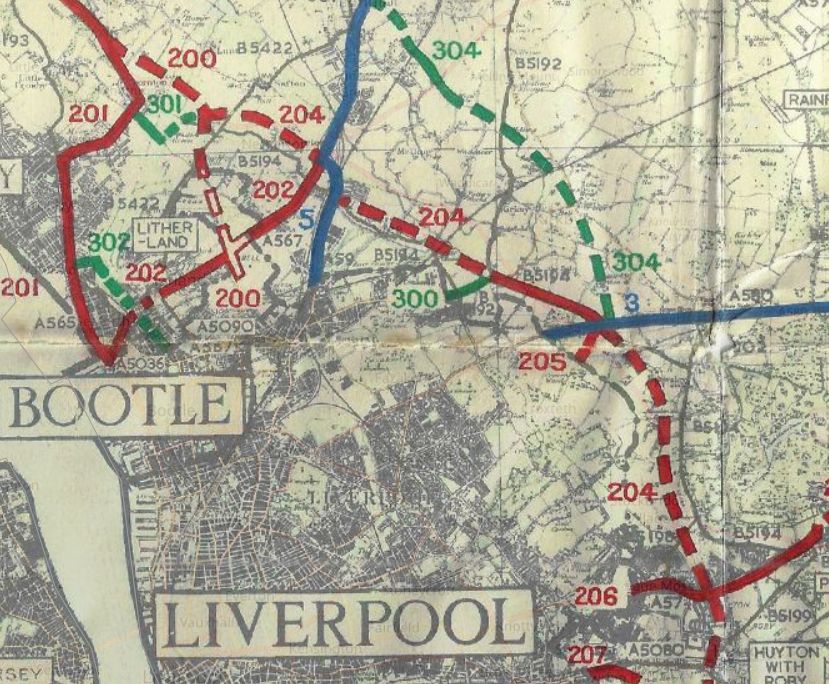
24 Nov 2025
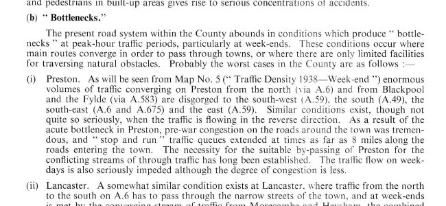
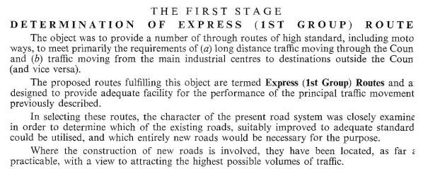
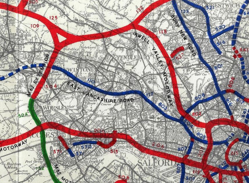
OK, so how many people guessed that 1949's Road Plan for Lancashire would be the plan we referred to yesterday? The LRP was an ambitious post-war highway blueprint now available on SABRE Maps Alongside it, the SABRE Wiki now carries detailed chapter summaries and commentary.
1
53
24 Nov 2025
You can now explore every map, every route, every chapter of the Lancashire Road Plan on SABRE Maps, with fresh companion articles on the SABRE Wiki breaking down the detail. A monumental piece of British road history — finally fully accessible.
1
46
24 Nov 2025
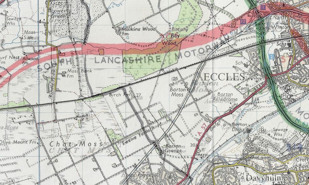
And as always, you can compare the Lancashire Road Plan with what really happened, comparing it with every historic and modern map layer available on SABRE Maps. buff.ly/a0ruuuS
49