
The unification of Teledyne’s Optech and CARIS businesses to offer holistic solutions
Joined February 2009
- Tweets 2,091
- Following 556
- Followers 1,838
- Likes 1,028
1,061 Photos and videos


15 Jan 2024
Short-term project? Sign up for a CARIS OnDemand account and get access to the software you need in REAL TIME. Pay only for the time you need with low daily rates and licenses delivered to your inbox! teledynecaris.com/en/account…
1
5
323
21 Dec 2023
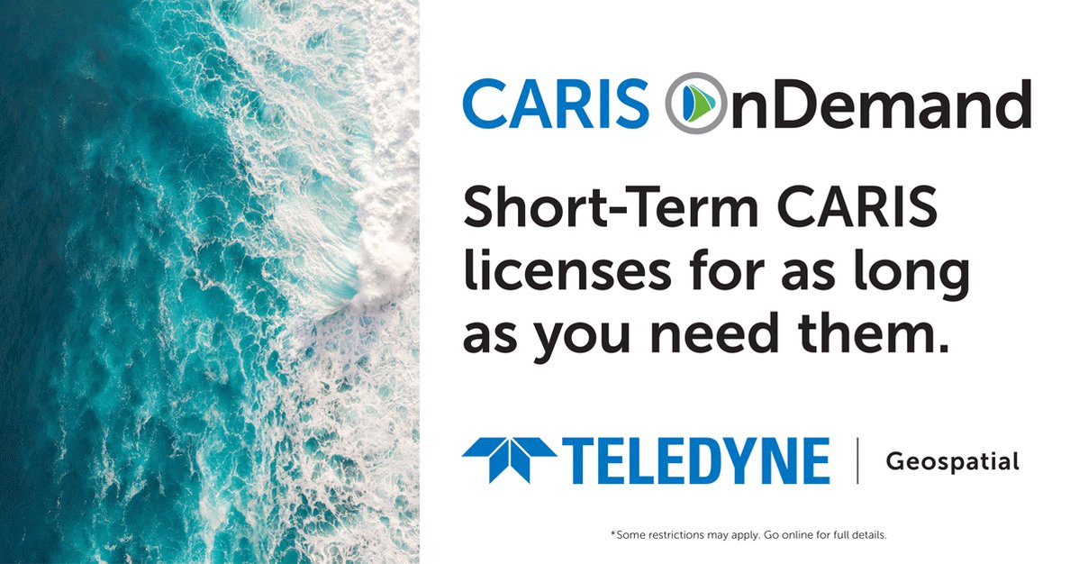
Our software, your way. Sign up for a CARIS OnDemand account today and access CARIS licenses and training whenever you need them and pay only for the length you need. Available by the day, week, month, or year! Get what you want, and what you need. teledynecaris.com/en/account…
174
12 Dec 2023
USGS has published #topobathymetric data of the Potomac River acquired by Teledyne Geospatial's CZMIL SuperNova. Congrats to our partner, Dewberry, on a great job!
2
184
11 Dec 2023
Use the CARIS OnDemand online store to access CARIS Licenses and purchase online training! Set up an account today at: teledynecaris.com/en/account… and get licenses and training delivered to your inbox in REAL TIME!
1
156
5 Dec 2023
#ICYMI Teledyne Geospatial announced that CARIS software now be available for purchase online. teledynecaris.com/en/news/ne…
159
2 Nov 2023
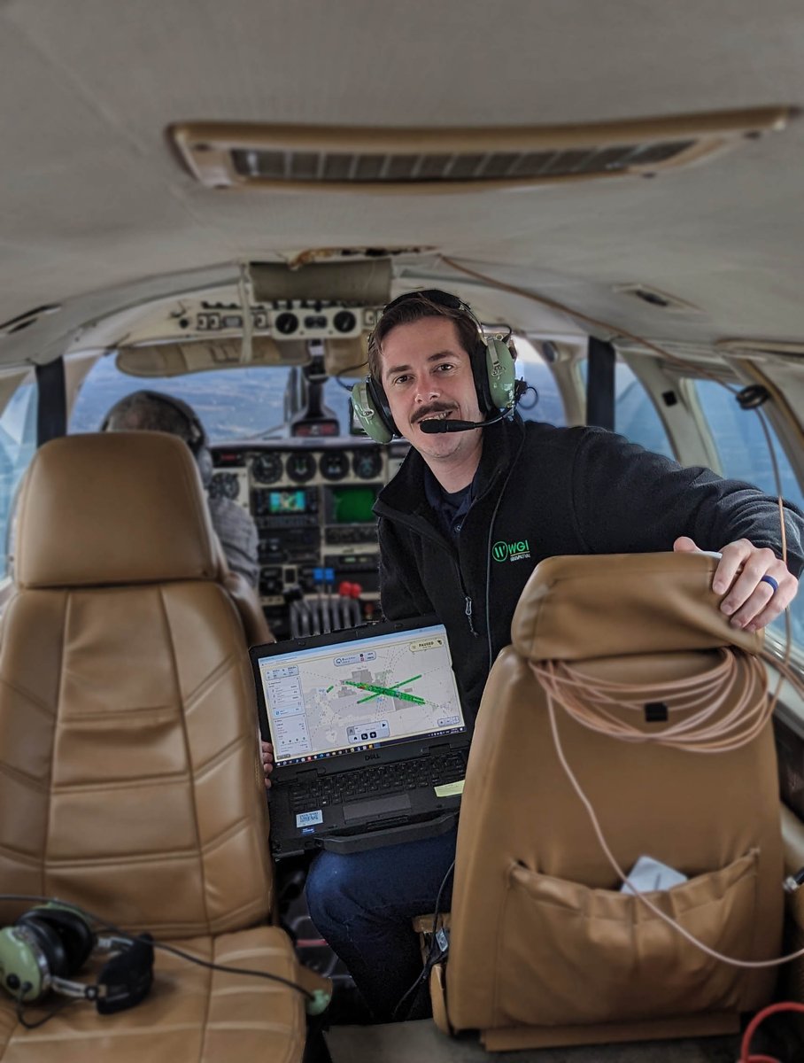
Superior field data is paramount to WGI. But they also found the Galaxy Onboard is easy to pick up, allows the operator to get started with minimal training, with reduced errors and increased productivity. teledyneoptech.com/en/produc…
2
177
1 Nov 2023
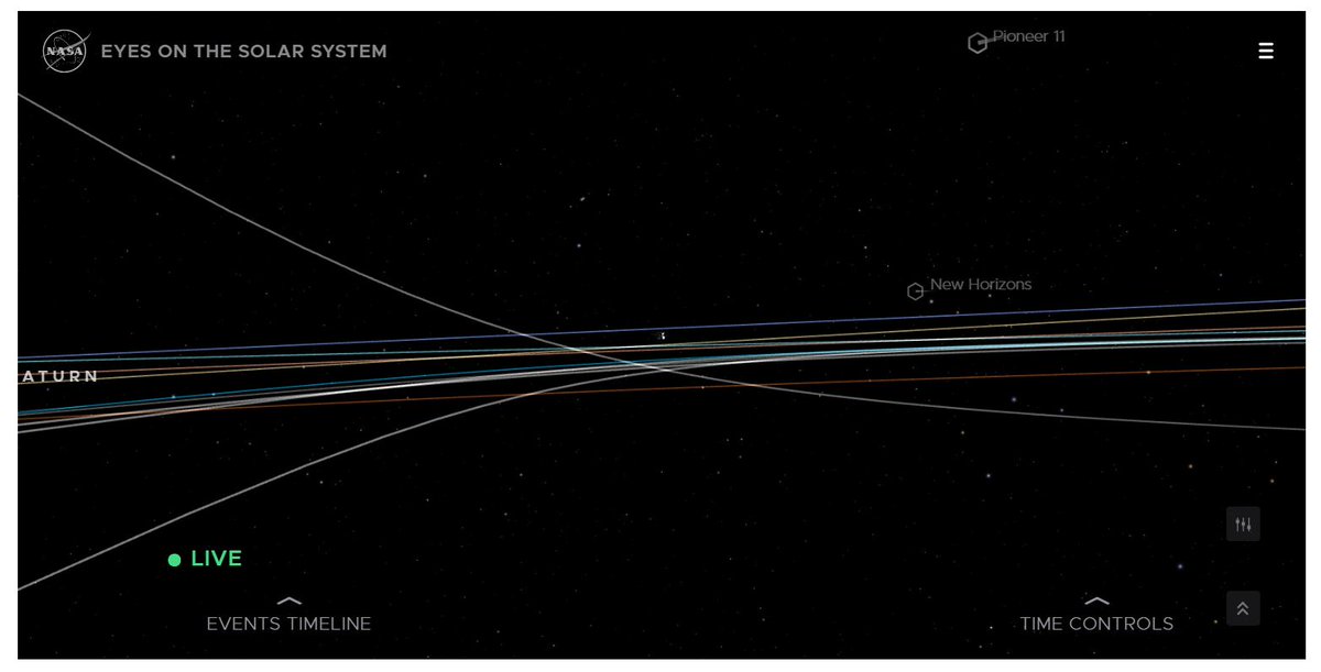
The first U.S. mission to collect an asteroid sample in 2020, delivered the sample to Earth on Sept. 24, 2023. Learn more: science.nasa.gov/mission/osi…
136
30 Oct 2023
Don't miss us at Hydro 2023 with our sister company @teledyne-marine We have lots of exciting software developments!
1
141
17 Oct 2023
Our CLS-A UAV Lidar offers accurate and clean point clouds for roads and utility surveys. Act now to get 25% off CLS-A UAV Lidar! Order before December 31, 2023
teledyneoptech.com/en/contac…
2
200
11 Oct 2023
Do you need accurate and clean point clouds for roads and utility surveys? Act now to get 25% off CLS-A UAV Lidar! Order before December 31, 2023
teledyneoptech.com/en/contac…
127
10 Oct 2023
Don't miss us at InterGEO 2023. Visit us at H 27, booth G27.46 where we will showcase our Galaxy Onboard, a unique productivity solution for airborne mapping, capable of delivering real time point cloud and real time quality control reporting tools. teledyneoptech.com/en/news/n…
142
9 Oct 2023
Visit us at InterGEO 2023 in Berlin, Germany, October 10-12. Visit H 27, booth G27.46 and experience the Oceanscience Z-boat 1800 equipped with the Optech CL-360 marine lidar. teledyneoptech.com/en/news/n…
1
138
6 Oct 2023
Don't miss us at InterGEO 2023 in Berlin, Germany, Oct 10-12. Visit H 27, booth G27.46 to learn about Teledyne’s integration of industry-leading hardware and software workflows. teledyneoptech.com/en/news/n…
106
2 Oct 2023
Don't miss us at Intergeo in Hall: 27 Booth: G27.46 where we will launch our Galaxy Onboard, a unique Productivity Solution for airborne mapping, capable of delivering real-time point cloud and quality control reporting tools. intergeo.de/en/exhibitor-lis…
83
21 Sep 2023
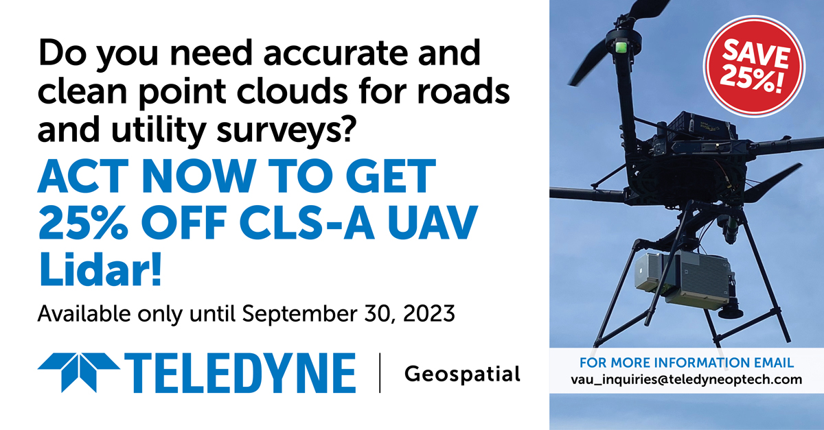
Do you need accurate and clean point clouds for roads and utility surveys? There is still time for you to get 25% off CLS-A survey grade UAV lidar, available only until September 30, 2023! Act now! teledyneoptech.com/en/contac…
84
18 Sep 2023
Still time to sign up for #TeledyneCARIS' 5-day instructor-led online #training course in #HIPSandSIPS from September 25 - 29, 2023; 9:00 am - 4:00 pm (GMT 2). For additional information, or to register:
teledynecaris.com/en/support…
1
95
13 Sep 2023
Do you need accurate and clean point clouds for roads and utility surveys? There is still time for you to get 25% off CLS-A survey grade UAV lidar, available only until September 30, 2023! teledyneoptech.com/en/contac…

2
100
7 Sep 2023
The Teledyne Geospatial CL-360 for marine applications is a LiDAR sensor that can be seamlessly integrated with high-resolution multibeam systems and the CARIS Ping-To-Chart workflow. spatialsource.com.au/marine-…
83
5 Sep 2023
Do you need accurate and clean point clouds for roads and utility surveys? Act NOW to get 25% off CLS-A survey grade UAV lidar, available only until September 30, 2023! teledyneoptech.com/en/contac…

1
88