
Specializing in affordable solutions, capacity development and consulting services with a focus on the use of drones for self-sufficient high accuracy mapping.
Joined November 2018
- Tweets 34
- Following 19
- Followers 125
- Likes 25
18 Photos and videos


5 Apr 2019
It is amazing to see how the #highresolution of our #mapsmadewithdrones broadens the stakeholder engagement in land rights discussions. Young and old, women and men, chief and #landsurveyor. #Virtualsurveying for #landrights.
1
3
5 Apr 2019
A teaser showing our work testing #dronetechnology for #cadastral #surveying in #Ghana. Note the inclusive engagement around the #highresolution maps made with drones. It is all about #landrights. Thank you @hettypok for footage and cut. @MeridiaLand @OmidyarNetwork
4
13
11 Mar 2019
Our Kumasi Workshop on new #technologies for #landrights in #Ghana made the TV #news. Go to 6:52 of the clip. Great discourse and enthusiasm for drones in cadastral surveying.
@OmidyarNetwork @MeridiaLand @COLANDEF
youtube.com/watch?v=qQoIUIS2…

1
5
6 Mar 2019
Workshop on #drones and #SfM in #cadastral #surveying in #Kumasi, #Ashanti Region #Ghana last week. Turns out this technology also works well for municipal engineering, #valuations, #dispute #resolutions, #urban #design, #asset #inventories and occupation #documentation.
1
7
10
6 Mar 2019
Drone pilot study results discussed by Licensed Surveyors of Ghana #LISAG, Ashanti Region Head of Surveying and #Mapping Division, Urban Planners, Valuation Surveyors, Engineers, Academics and Students. myjoyonline.com/technology/2…
1
2
26 Feb 2019
On #GTVNewspk Accra, #Ghana tonight at 7pm, coverage of the official handover of equipment donated by Micro Aerial Projects on behalf of the #OmidyarNetwork. Honored to be shaking hands with his Honorable Kwaku Asomah-Cheremeh, Minister of Lands and Natural Resources.
6
9

23 Feb 2019
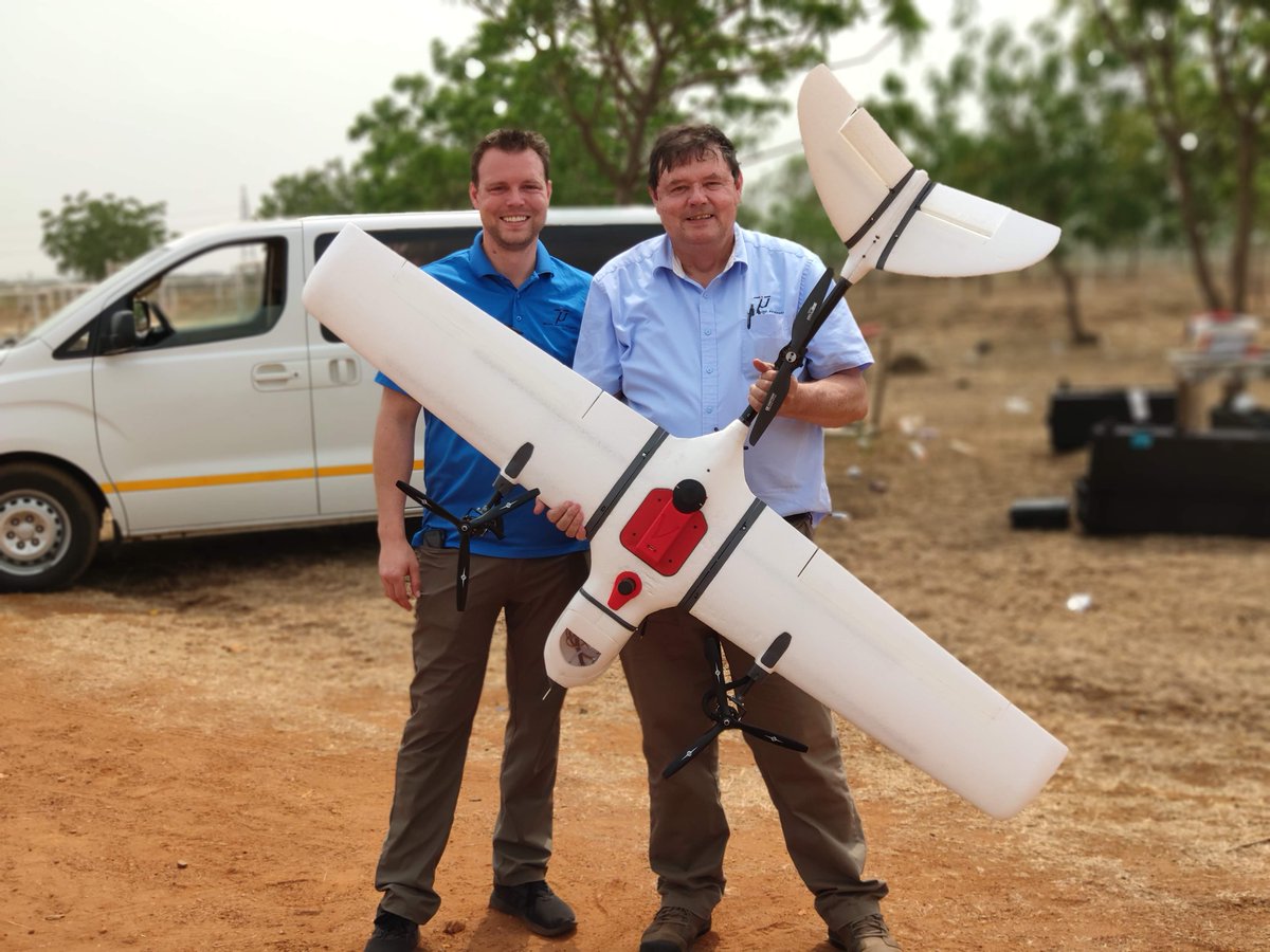
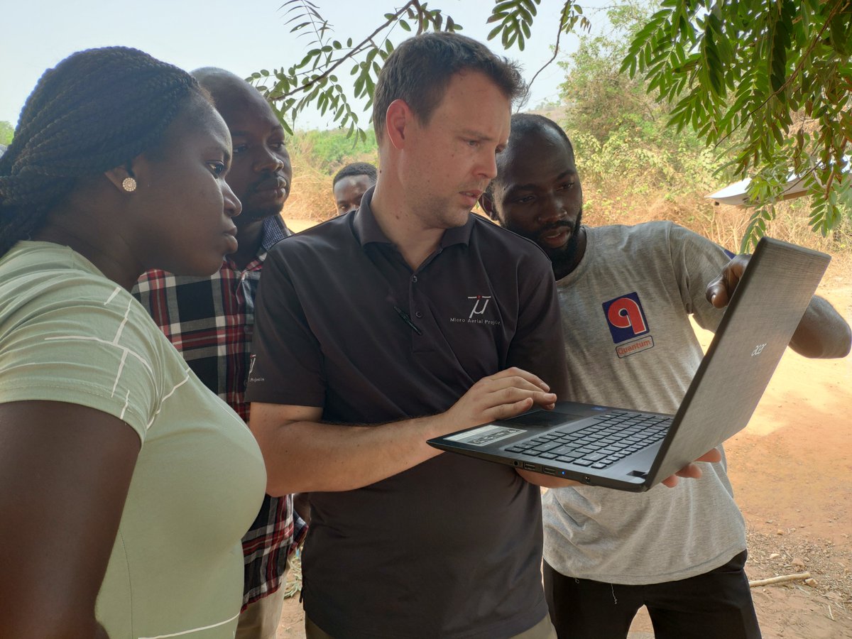
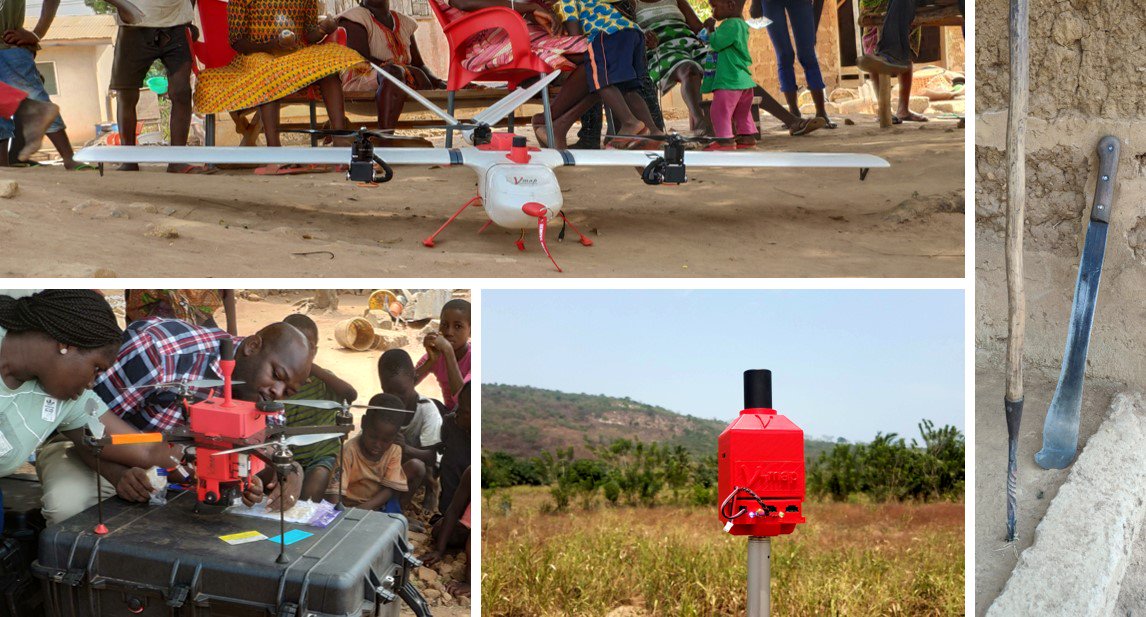
Our local partners here in #Ghana flew their MAP-M4 #drone equipped with #Vmap dual frequency #PPK #GNSS to collect #actionabledata where #parcelboundaries still need to be established/updated. #selfsufficiency #localskills #sustainable #landrights #survey youtu.be/imaiTUW_pvs
2
5
5
23 Feb 2019
17 Feb 2019
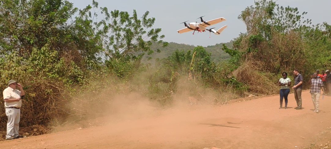
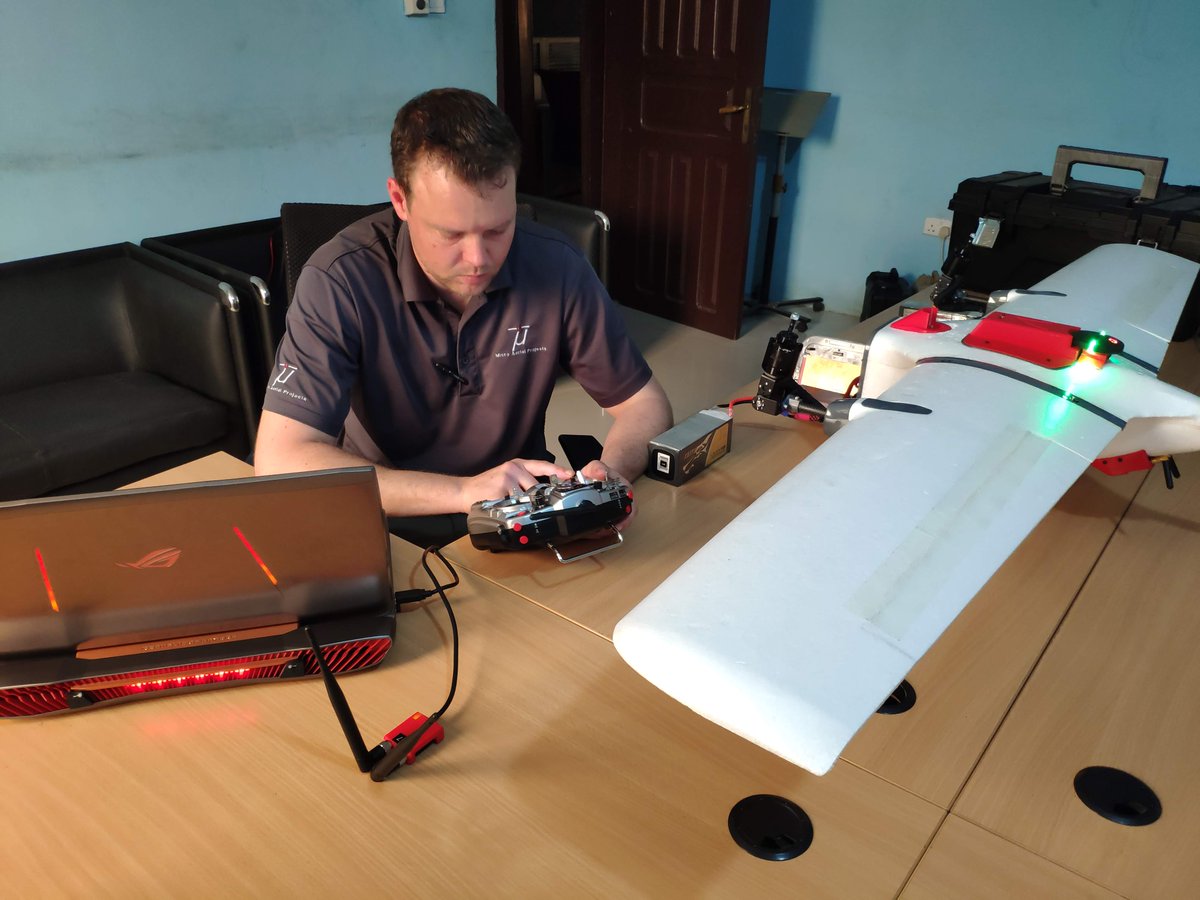
All smiles after some happy VTOL take-offs and landings at the turf club in #Accra. Our MAP-TM3 equipped with #Vmap dual frequency #PPK #GNSS is waiting to document occupations, #map the terrain and #survey #parcelboundaries in #Ghana. #landrights #parcelmapping #Ghana
1
21
37
MicroAerialProjects retweeted

15 Dec 2018
Establishing a test bed in the #Andes for validation of #drones and #SfM #mapping technique in #cadastral #surveying. With support from the @OmidyarNetwork we are promoting use of drones in #Colombia for accelerated formalization of #landrights @Peter_Rabley @amy_regas
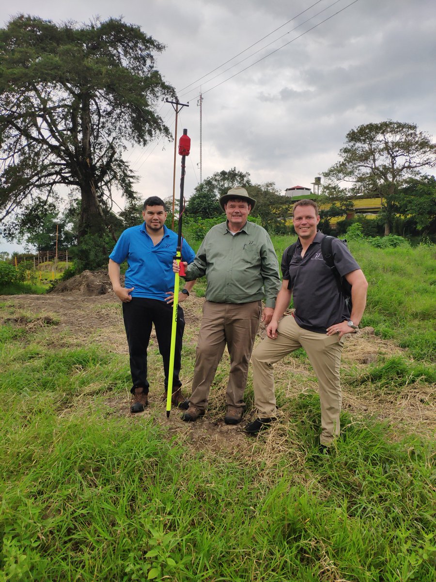
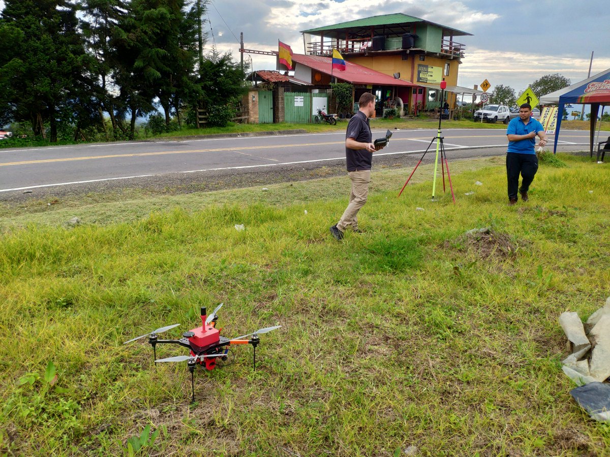
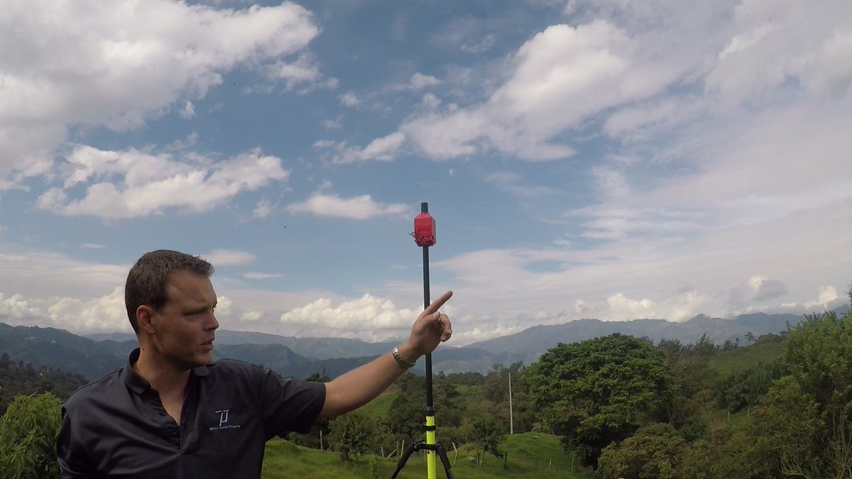
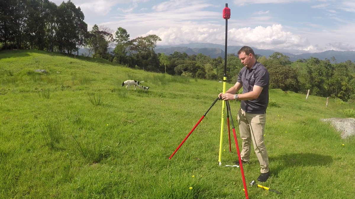
5
12
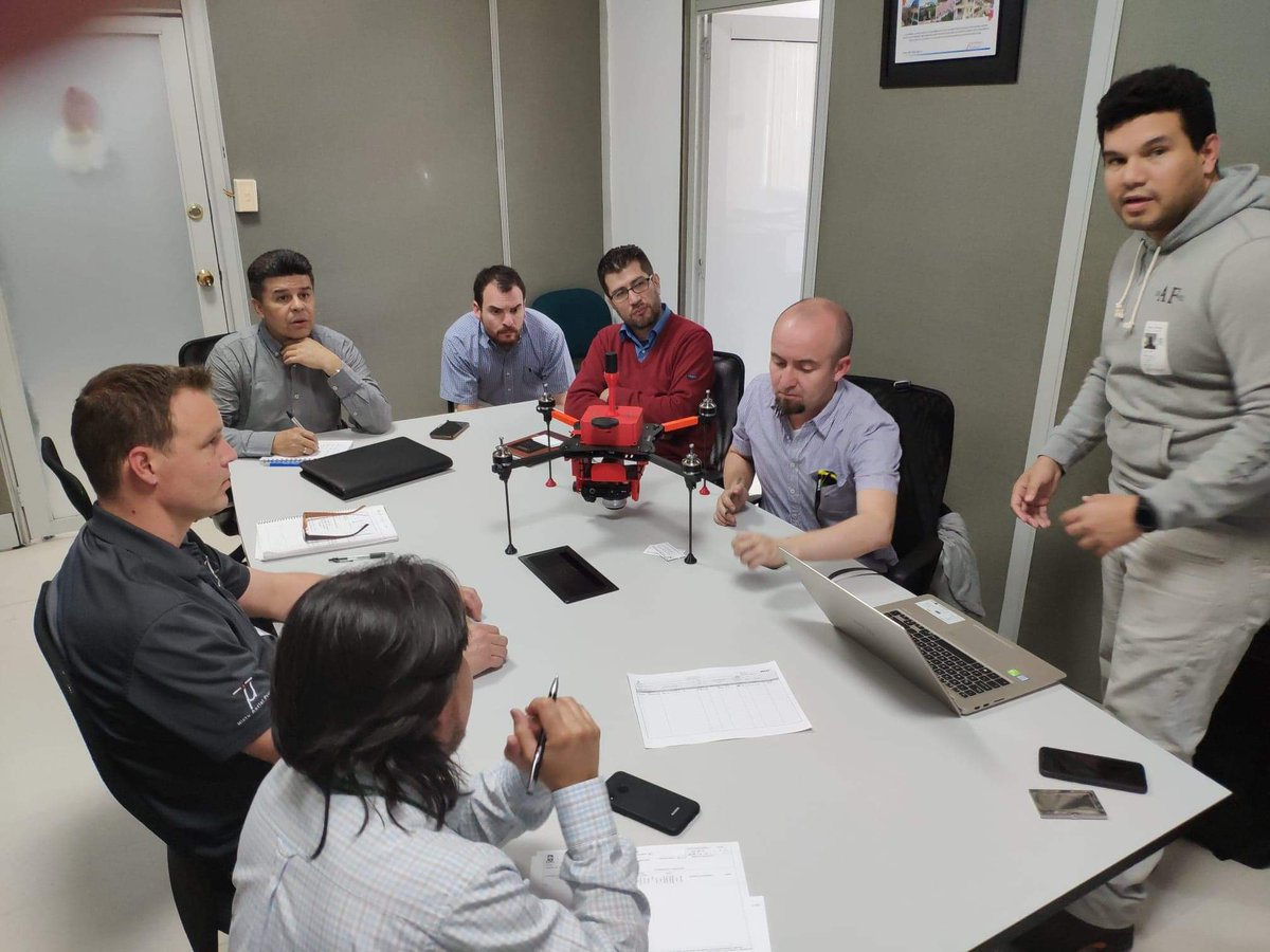
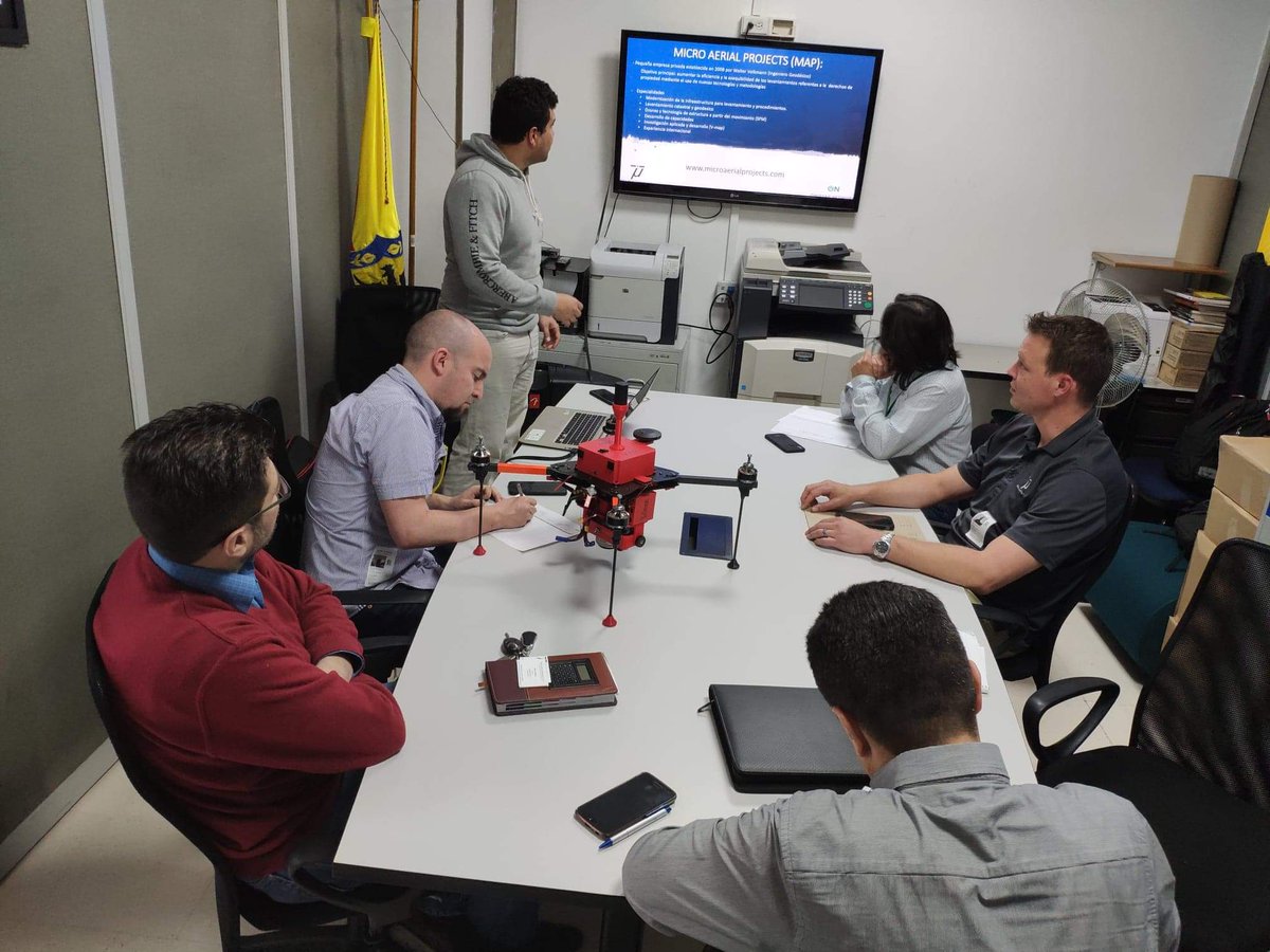
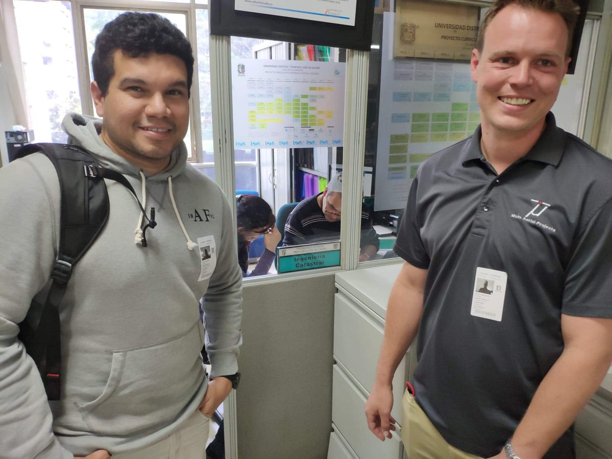
11 Dec 2018
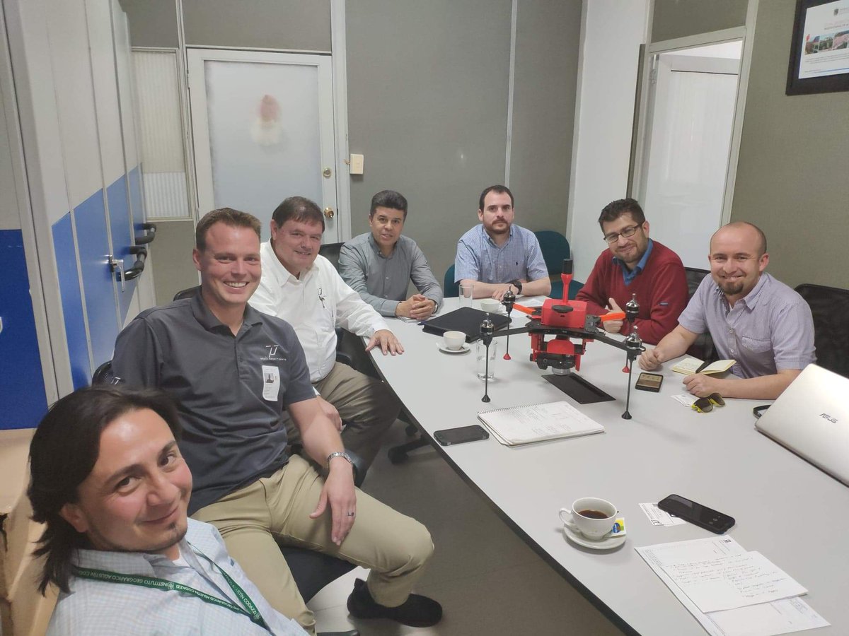
Meeting with partners from IGAC, Land Restitution and Universidad Distrital to discuss our project for #capacitydevelopment of #UAS mapping for #LandRights in #Colombia! We are all excited and motivated to utilize #drone #technology for #mapping #propertyrights @OmidyarNetwork
1
1
5
MicroAerialProjects retweeted

30 Nov 2018
What do current technological advancements mean for #communitymapping of informal parcels? Join @NewAmericaFPR for a discussion on Dec. 5 on how new #tech can address #mapping and #formalization challenges!
bit.ly/GNSSatFPR
3
5
28 Nov 2018
5
10
17 Nov 2018
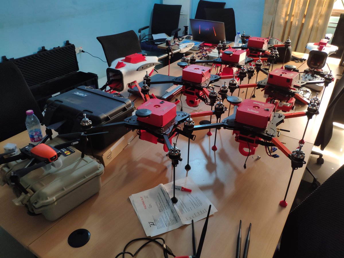
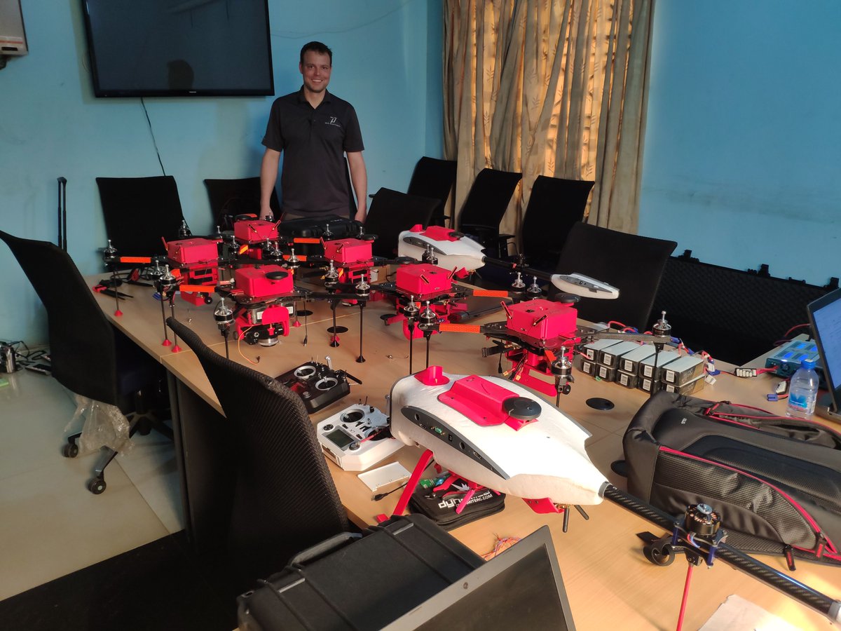
Congratulations to all the participants in our @OmidyarNetwork funded #drone assembly and #UAS operation course in #Ghana! From soldering to configuring, flight planning to flying. Your skills will be invaluable to supporting #drones for #propertyrights! More news to come soon!
6
15 Nov 2018
#capacitydevelopment stage 2 yesterday! First flights with #drones assembled, configured and tuned by our students! Their skills in assembly, repair, tuning and operation will be invaluable to #UAS mapping operations for #propertyrights in #Ghana. @OmidyarNetwork
4
13 Nov 2018
Smiles of success! Students seeing their hard work powered on for the first time! Amazing progress for first time drone builders in #ghana! Well done to! #Capacitydevelopment #UAS #UAV #ardupilot #opensource #LandRights #sustainable #Selfsufficiency #Drone @OmidyarNetwork
1
9
29