
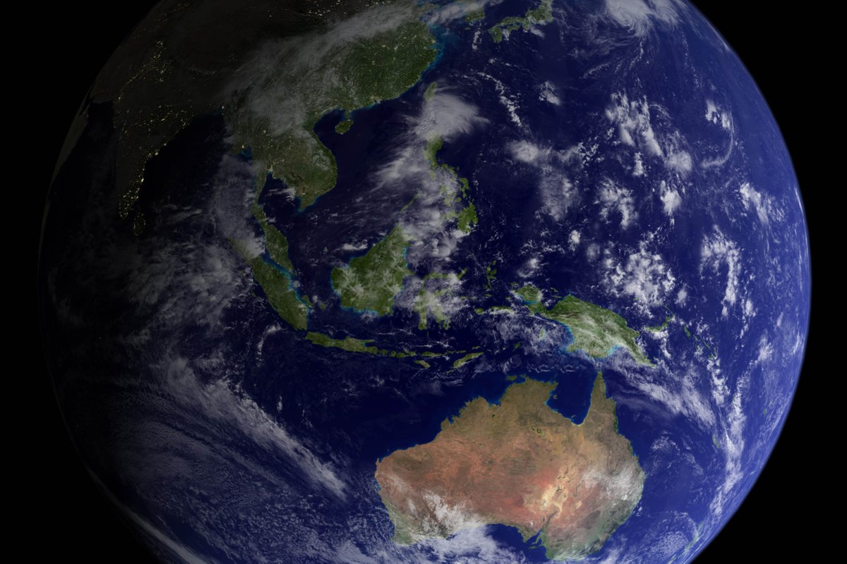
At EO Data Science, our mandate is to harness the power of what we can see, learn and know from space to help organisations enact positive change.
Joined September 2019
- Tweets 461
- Following 95
- Followers 2,393
- Likes 243
158 Photos and videos


EOdatascience retweeted

29 Jun 2023
🌍 Did you miss this NGIS and SADA webinar? ESG compliance and sustainability initiatives are growing importance in today's business world!
🔗 Register to watch now: bit.ly/3NyCRTd
1
1
441

17 May 2023
🌊With rising sea levels posing a threat to valuable infrastructure and private property, our mapping technology provides an intuitive interface for interpreting crucial information and making data-driven decisions.
See if your house is safe: bit.ly/434Jcf6
8
1,516
EOdatascience retweeted
3 Apr 2023
Customers are tired of false sustainable claims and are demanding more clarity. The ACCC has noticed and is cracking down on businesses! Learn how your company verify products sustainability impact and avoid greenwashing. 🌱 bit.ly/42XzEDA
1
3
658
26 Mar 2023
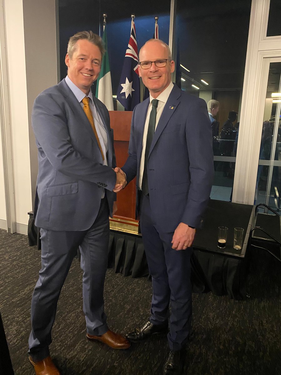
Rory Donnelly attended a celebration of St Patrick's Day with Ireland's Minister of Enterprise, Trade and Employment, Simon Coveney. The event celebrated the partnership between the two countries. 🇮🇪🇦🇺
4
367
9 Jan 2023
The international surface water and ocean topography (SWOT) satellite recently took off from Vandenberg in California. 🚀The UK-backed mission will observe huge swathes of the ocean and surface water in unprecedented detail. Read more here: bit.ly/3Iz3wyd
3
340
29 Nov 2022
A new #EarthEngine tutorial just went live 🌏 The tutorial is learning about how to work with gap-filled imagery- HISTARFM. Read more here: bit.ly/3AT2sAO
2
24 Nov 2022
Google Earth Engine can be used to monitor land use and land cover for agriculture but can it predict a feast or famine? Read more here: bit.ly/3UTcDxf
8
30
EOdatascience retweeted

18 Nov 2022
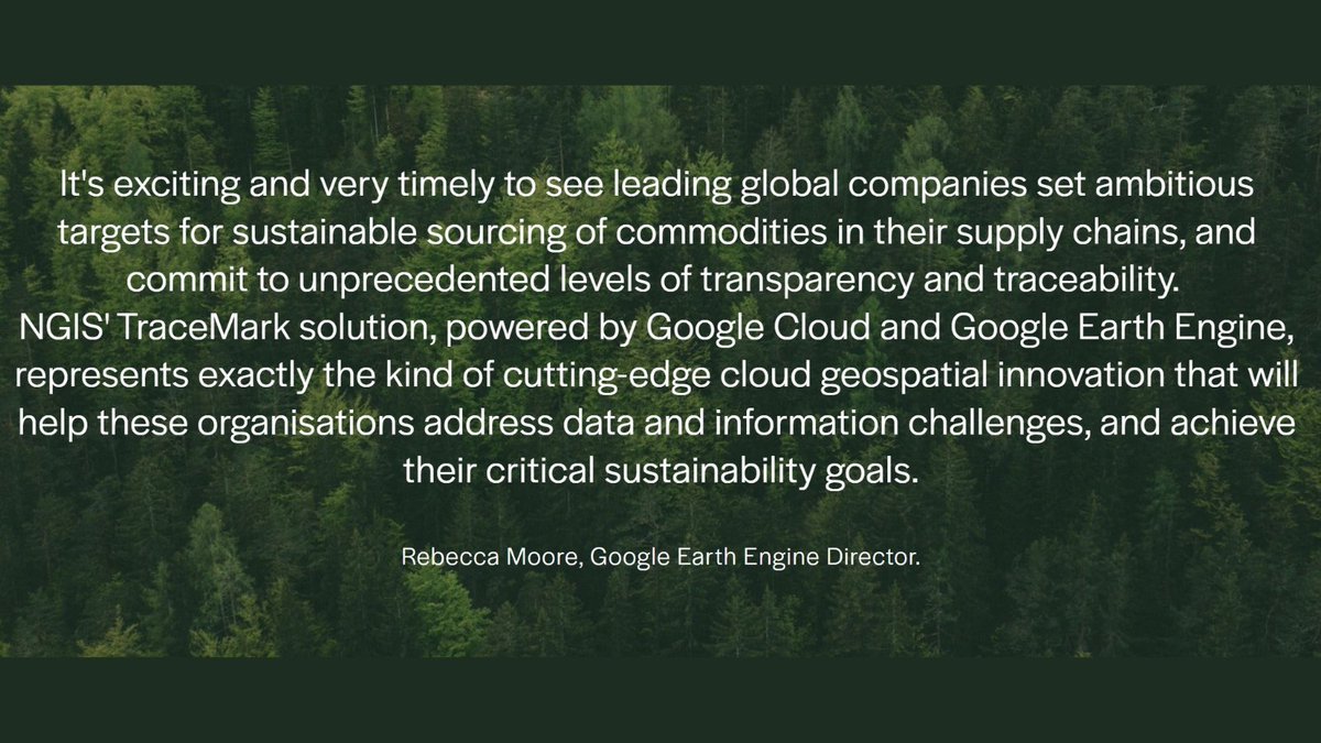
At @COP27, we’re talking about how geospatial data can make supply chains more sustainable. Learn how #GoogleCloud and @ngis_australia TraceMark platform shows the impact of sourcing a particular material on the environment in our Live from COP27 report. google.smh.re/1sLZ
1
1
21 Nov 2022
The European Parliament have passed a law to ban imports of raw materials that have been linked to deforestation! 🌲The legislation includes commodities such as cattle, cocoa, coffee, palm oil, soy, and wood.
Read more here: bit.ly/3VatPhi
1
4
8 Nov 2022
Clean energy is looking towards geospatial technology to mitigate environmental risks. The solar industry is continuing to expand and this comes a heightened need to identify where panels, solar farms and infrastructure should be located.
Read here: bit.ly/3t5PpaU
1
2
11 Oct 2022
Geo for Good Summit has announced this open access book "Cloud-Based Remote Sensing with Google Earth Engine." 📖 The book caters for all levels- beginners to experts. Read the book here: bit.ly/3EuaFOs
6
34
6 Oct 2022
Interested in #deeplearning and how we can normalise it to improve models?
Read more to see how different factors influence the data and how to normalise it: bit.ly/3LZpk5M
4 Oct 2022
The Queensland Earth Observation Hub launches with two new #earthobservation projects. 🛰️The new projects will monitor remote geohazards such as flood water levels or landslides and Queensland's coasts for hazards and conditions.
Read more: bit.ly/3USbN40
3
27 Sep 2022
We are a 100% carbon neutral business!
At EO we care about the impact we have in the world, particularly the emissions we make through a business. We are making more conscious decisions about the way we do business!
Find out more about us here: bit.ly/3BNzpyf
1
20 Sep 2022
Australia's space sector has plans to grow to $12 billion and add 20,000 jobs by 2030 🚀
This growth has great opportunities for those industries ready to use space-enabled technology for data-driven insights.
Read more: bit.ly/3f3zlCt
#geospatial #GEE
5
31 Aug 2022
Round 12 of the lightning talk from Group on Earth Observations @googleearth Program is up.
In the talk, you'll hear from five project teams on how they used Google Earth Engine on People & Society.
Watch here: bit.ly/3R1X3gz
1
4
5
17 Aug 2022
The OFE platform leverages #geospatial technology to effectively analyse field trials.
Read more here: bit.ly/3bZKAe9
1
17 Aug 2022
NGIS has been part of a three year research collaboration to help grain farmers be their own in field scientists.
More than 35 farmers participated in the @foodagility project, running 50 experiments testing the application of fertilisers and the impact on yield.
1
2 Aug 2022
With CI facing constant threats, both natural and manmade, #geospatial data is essential for the in-depth risk analysis required to inform policy and make decisions.
Excitingly, the #GEE Community Dataset now includes the CISI!
Share the GitHub project: bit.ly/3zPR5cz
2
2
2 Aug 2022
Critical Infrastructure (CI) is the foundations of a society and a requirement for socio-economic development.
Sadhana Nirandjan outlines the a Critical Infrastructure Spatial Index (CISI) in her paper: go.nature.com/3Qa4ZM3
5
10