
Proudly brewing geospatial data and maps since 2000. Free and Open Source!
Joined January 2020
- Tweets 626
- Following 29
- Followers 2,375
- Likes 721
22 Photos and videos


The Real GeoServer retweeted

May 6
agol-webmap-bridge - A Python CLI tool that converts an ArcGIS Online (AGOL) webmap configuration into a GeoNode Map JSON file. github.com/bertt/agol-webmap…
1
18
1,185
The Real GeoServer retweeted

12 Dec 2025
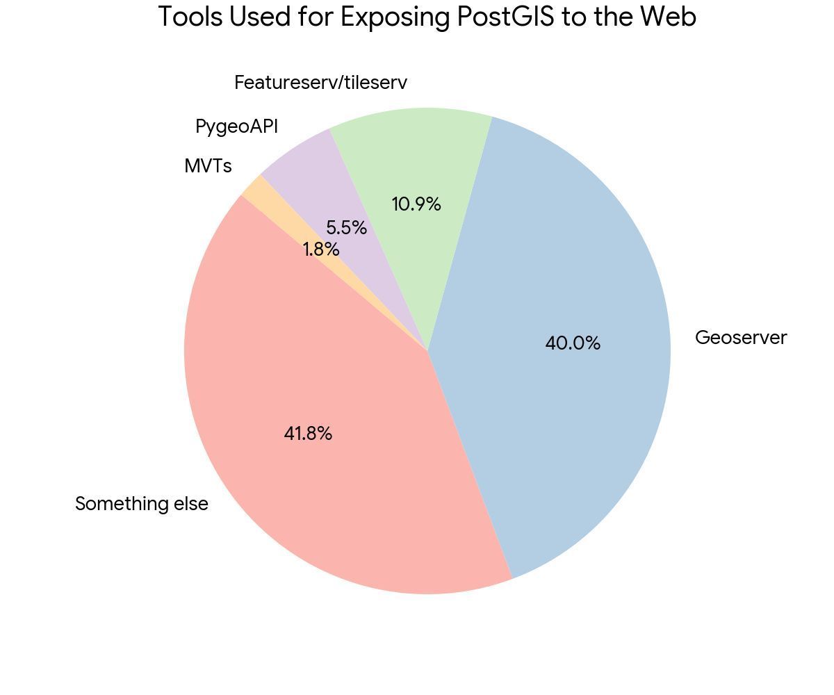
We asked our PostGIS Day audience how folks were getting spatial data to the web.
- A good number are using Geoserver, this is a tried and true OSGeo project
- Lots of folks doing something we don't know about, maybe custom?
- 10% using featureserv and tileserv!
3
16
1,029

17 Oct 2025
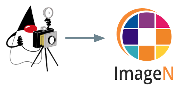
GeoServer 2.28.0 released! With key migration to Eclipse ImageN thanks to GeoServer 3 crowdfunding campaign sponsors funding :)
geoserver.org/announcements/…
#osgeo #foss4g #geoserver
2
5
253
The Real GeoServer retweeted

9 Sep 2025
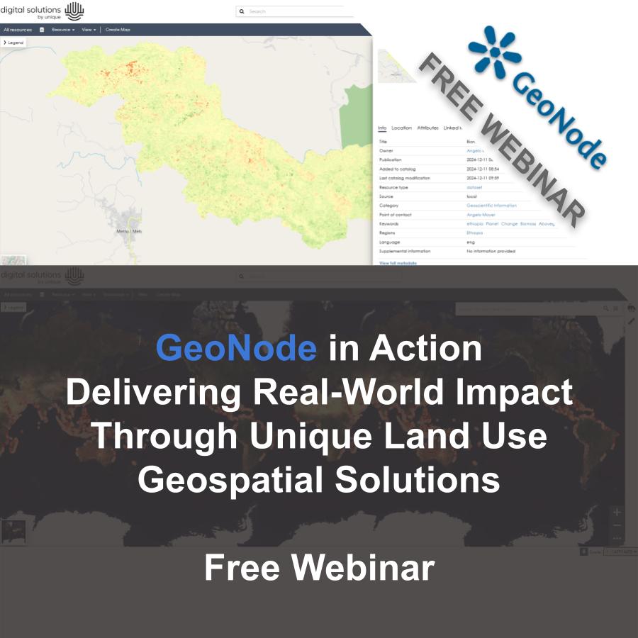
🌍 Missed our "GeoNode in Action" webinar with ULU? Catch the replay! See how ULU leverages #GeoNode in real-world forestry, climate, and development work.
🎥 Watch now: youtu.be/jAoYMulL1dU?feature…
🔍 Real use cases 🔁 Data collaboration 📦 Geospatial archiving. A must-watch for #GIS, #OpenSource, and #ClimateAction folks!
#ULU #GeoSolutions #GeospatialTech #WebinarRecording #geoserver #OSGEO #FOSS4G
2
4
423
The Real GeoServer retweeted
4 Sep 2025
🌍 Join our free webinar on the MapStore 2025.01 release! 🎉📢✨
🗓️ September 30 · 15:30 CEST / 9:30 am ET
This session will demonstrate significant advancements including the redesigned Home Page, interactive and dynamic legends for enhanced data exploration, and new 3D visualization capabilities through Cesium Ion terrain and lighting. The presentation will also address improvements to the print preview workflow and usability enhancements across the platform. 🌐🗺️🔧
A Q&A segment will follow the demo, providing an opportunity to engage directly with the MapStore development team. ❓👥💡
👉 Register here: wp.me/pfwItg-3fb
#MapStore #GIS #OpenSource #WebGIS #Cesium @CesiumJS @opengeospatial @OSGeo @foss4g #OSGEO #FOSS4G #3DTiles

1
3
8
668
The Real GeoServer retweeted
3 Sep 2025
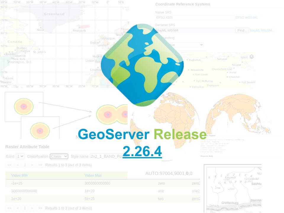
🌐 Exciting news from the #GeoServer community! Version 2.26.4 is out, with important fixes for WMS cascading, GeoPackage improvements, and overall stability boosts.
At GeoSolutions, we are proud to keep contributing to the evolution of this leading #OpenSource platform. 💡
👉 Learn more: geoserver.org/release/2.26.4…
#FOSS4G #OSGeo #GIS #GeoNode #MapStore #OpenSource
3
12
517
The Real GeoServer retweeted
27 Aug 2025
🚀 Missed us at #FOSS4G Europe 2025?
No worries, we've got you covered! We’ve collected all our presentations, slide decks, and key takeaways in one place so you can catch up on everything our team shared in Mostar.
From the latest updates on #GeoServer 3, to building urban #digitaltwins with #MapStore, and deep dives into #GeoNode custom applications and use cases, there’s plenty to explore!
We also covered:
▪ #OGC APIs and their implementation in real-world workflows
▪ Serving #EO data with #GeoServer
▪ Processing maritime AIS data using #Azure & #Databricks
Whether you missed a session or want to revisit a talk, it’s all here for you.
📅 Check it out: geosolutionsgroup.com/blog/f…
#FOSS4GE #OSGeo #OpenSourceGIS #GeoSolutions #FOSS4G2025 #foss4ge2025

3
3
324
The Real GeoServer retweeted

25 Aug 2025
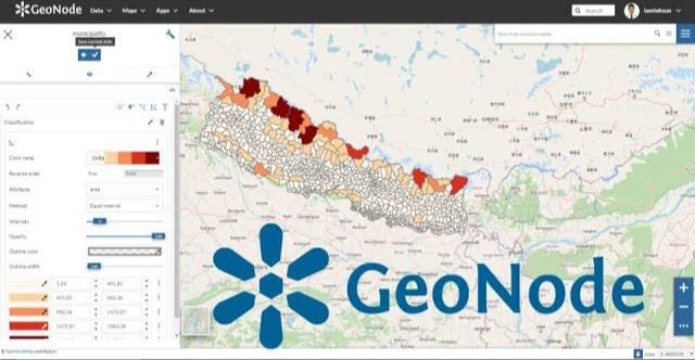
GeoNode — the open-source geoportal platform that’s quietly powering Spatial Data Infrastructures (SDIs) around the world.
If PostGIS is where data lives, and GeoServer is how it’s shared, then GeoNode is the front door to your geospatial world — the place where users, communities, and organizations can actually discover, visualize, and manage geospatial data.
🧩 What is GeoNode?
GeoNode is an open-source geospatial content management system (GeoCMS).
Think of it as WordPress for maps and spatial data — combining a user-friendly web portal with powerful geospatial backends.
It integrates seamlessly with:
GeoServer → for publishing maps and services
PostGIS → for spatial storage
OpenLayers/Leaflet → for interactive web mapping
🔑 What can you do with GeoNode?
📂 Upload & manage datasets — vector, raster, or tabular.
🌍 Publish maps & services — share via WMS/WFS/WMTS directly from the portal.
🧑🤝🧑 Manage users & permissions — fine-grained access control for collaboration.
📝 Catalog metadata — fully OGC/INSPIRE compliant, enabling interoperability.
📊 Build dashboards & apps — no coding needed, just configure.
🌐 Create a full SDI — from local projects to national data portals.
⚡ Why organizations choose GeoNode
✅ Open source & community-driven (no vendor lock-in)
✅ OGC standards-compliant (WMS, WFS, CSW, etc.)
✅ Enterprise-ready (scales to millions of records)
✅ Customizable (extend with Django, APIs, or plugins)
GeoNode is already used by governments, humanitarian agencies, and NGOs worldwide to share data, support decision-making, and improve transparency.
💡 If you’re looking to set up a geospatial portal, start with GeoNode. It brings together the best of OSGeo: PostGIS GeoServer OpenLayers, wrapped in a clean, collaborative interface.
🔖 Save this post for later.
💬 Have you tried GeoNode in your work? What’s your favorite feature?
6
97
464
19,535
The Real GeoServer retweeted
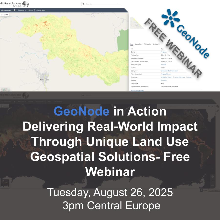
19 Aug 2025
🛰️ Curious how organizations manage complex geospatial workflows across global projects?
On August 26, Unique Land Use GmbH will share how they use #GeoNode to support carbon certification, risk mapping, and more, while keeping full control over their data.
If you're working in climate, forestry, or sustainability, this one’s for you.
📍Live session, free to join
🔗 Register here: wp.me/pfwItg-3cs
#GeoNode #GeoServer #MapStore #FOSS4G #WebGIS #GIS #OpenSource #Sustainability #ClimateAction

1
2
266
The Real GeoServer retweeted
15 Aug 2025
🌐 What does geospatial impact look like in real-world sustainability projects?
On August 26, Unique Land Use GmbH will show how they use GeoNode to manage and deliver geospatial data across forestry, climate, and rural development efforts.
From closed portals to stakeholder-ready outputs, it’s a great example of open-source tech making a difference.
📅 Don’t miss it
🔗 Register here: wp.me/pfwItg-3cs
#GeoNode #GeoServer #MapStore #FOSS4G #GIS #OSGeo #OpenSource #Sustainability #ClimateData #WebGIS
2
5
338
The Real GeoServer retweeted
12 Aug 2025
🌍 Real-world geospatial impact with #GeoNode
📅 Aug 26
🕘 9am ET / 3pm CEST
Unique Land Use GmbH shares how they manage forestry & climate data across the globe with GeoNode.
🔗 Register now: wp.me/pfwItg-3cs
#GeoServer #FOSS4G #OSGeo #OpenSource #GIS #ClimateTech #WebMapping

1
4
572
The Real GeoServer retweeted
29 Jul 2025
🌟 Save the Date!
#FOSS4GNA2025 is coming Nov 3-5 to Reston, VA!
Join us for 100 tech talks, 20 workshops, a B2B session, and updates on GeoServer, GeoNode & MapStore by @GeoSolutions_it.
Check our blog post📍 geosolutionsgroup.com/news/f…
#FOSS4G #GeoServer #MapStore #GeoNode #OpenSourceGIS #WebGIS #OSGEO

2
4
294
The Real GeoServer retweeted
25 Jul 2025
🚀 We're hiring at GeoSolutions!
Join us as a Geospatial IT Sales & Biz Dev Manager (EMEA) — remote-first, open-source focused, and shaping the future of geospatial tech 🌍
Apply 👉 linkedin.com/jobs/view/42408…
#Hiring #FOSS4G #GIS #OpenSource #SalesJobs #RemoteWork #GeoSolutions #OSGEO
2
1
280
The Real GeoServer retweeted
8 Jul 2025
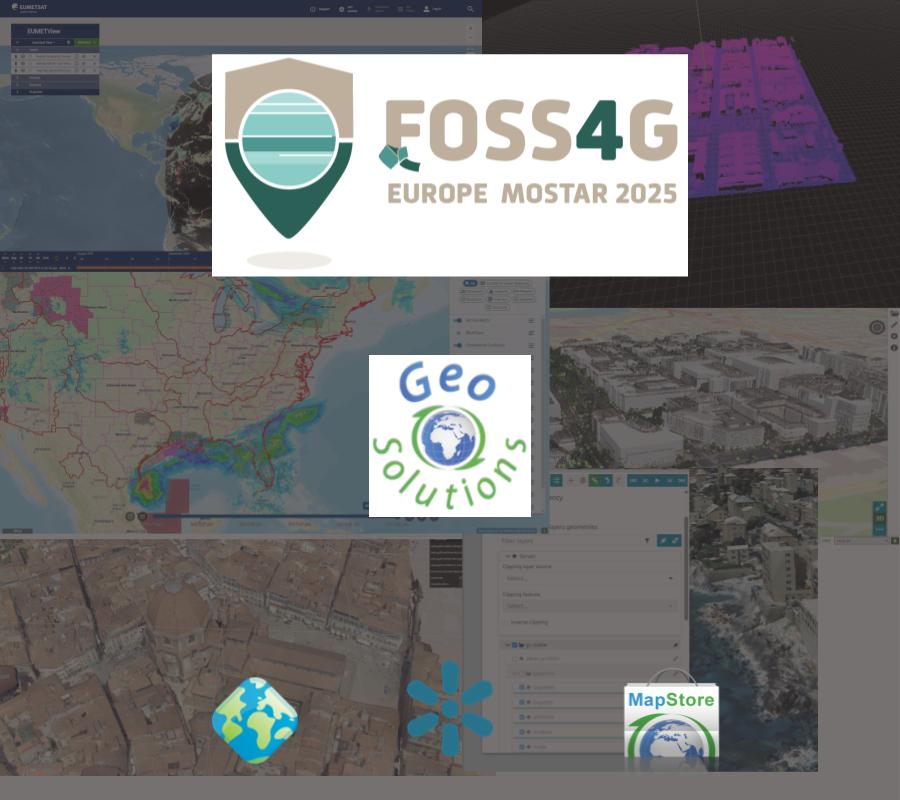
🚀 GeoSolutions is headed to #FOSS4G Europe 2025 in Mostar as a ✨ Gold Sponsor ✨! Join us July 14–20 for talks, workshops & a chance to meet our developers.
We'll be diving into #GeoServer, #GeoNode, #MapStore and what’s cooking behind the scenes!
Details 👉 geosolutionsgroup.com/blog/f…
#OSGeo #FOSS4GEU #FOSS4G #OpenSourceGIS
3
6
595
The Real GeoServer retweeted
1 Jul 2025
We shared some deep tech at #geOcom2025! 🗺️
Tobia Di Pisa covered:
⏭️ 3D Tiles workflows w/ PDAL, PostGIS & py3dtiles in our Digital Twin Toolbox — now integrated with geOrchestra
⏭️ What’s new in MapStore 2025.01: UX revamp, Cesium terrain, dynamic legends & more
Full post slides 👉 geosolutionsgroup.com/blog/g…
#GeoSolutions #MapStore #DigitalTwin #3DTiles #geOrchestra #FOSS4G #GIS #OpenSource #CesiumJS #CesiumDevConf #OSGEO #geoserver #geonode

1
3
307
The Real GeoServer retweeted
19 Jun 2025
🚀 Excited to share that Stefano Bovio from @geosolutions_it will be speaking at #CesiumDevCon!
He'll present how we're enhancing #MapStore with 3D power using @CesiumJS 🌐:
🔷3D Tiles & terrain
🔷3D measurements & annotations
🔷Real-world use from Florence, Genoa, Austrocontrol
🛠️ 100% open source. 100% standards-based. 🗓️ Don’t miss it — June 24, 11:40AM 📍
#GeoSolutions #CesiumJS #3Dmapping #OpenSourceGIS #WebGIS #OGC #FOSS4G #CesiumDevCon

4
2
10
652
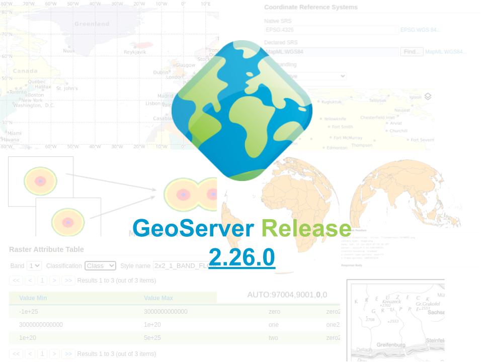
18 May 2025
GeoServer 2.27.1, GeoServer 2.26.3 and GeoServer 2.25.7 released.
Stable maintenance releases made concurrently in response to a security vulnerability. Details will be shared on Monday 2 June
geoserver.org/announcements/…
#OSGeo #foss4g
1
2
14
786
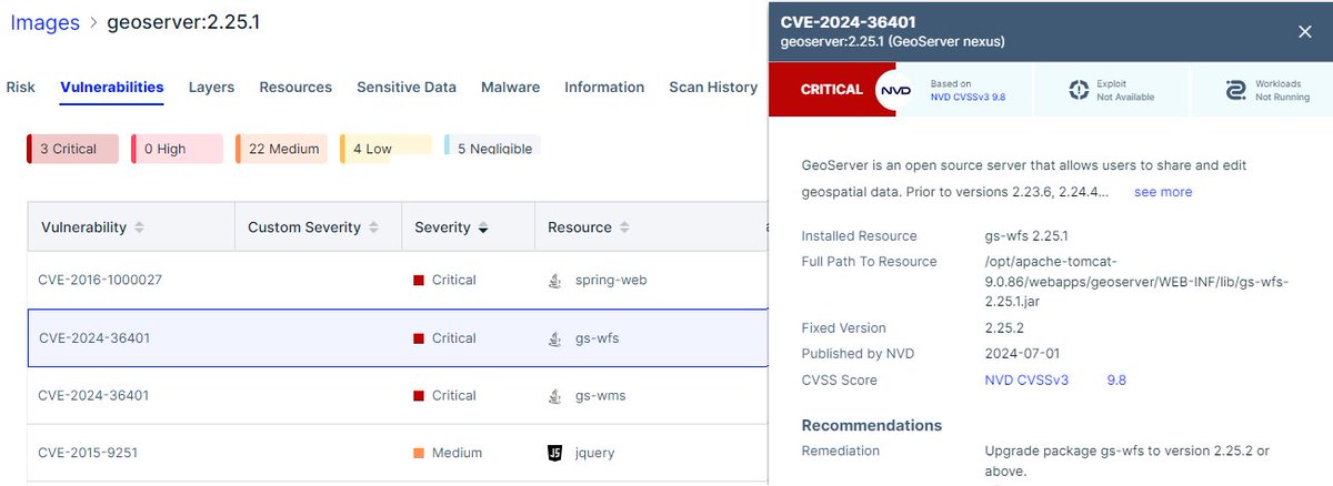
10 Jun 2025
June 2025 CVE report update: geoserver.org/vulnerability/…
The concurrent 2.27.1 2.26.3 release intended to address a critical vulnerability, however last week the report was downgraded to high severity.
Still a good opportunity to update!
#GeoServer #OSGeo #foss4g
2
2
317
The Real GeoServer retweeted
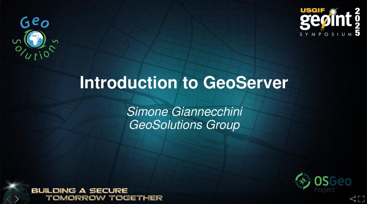
21 May 2025
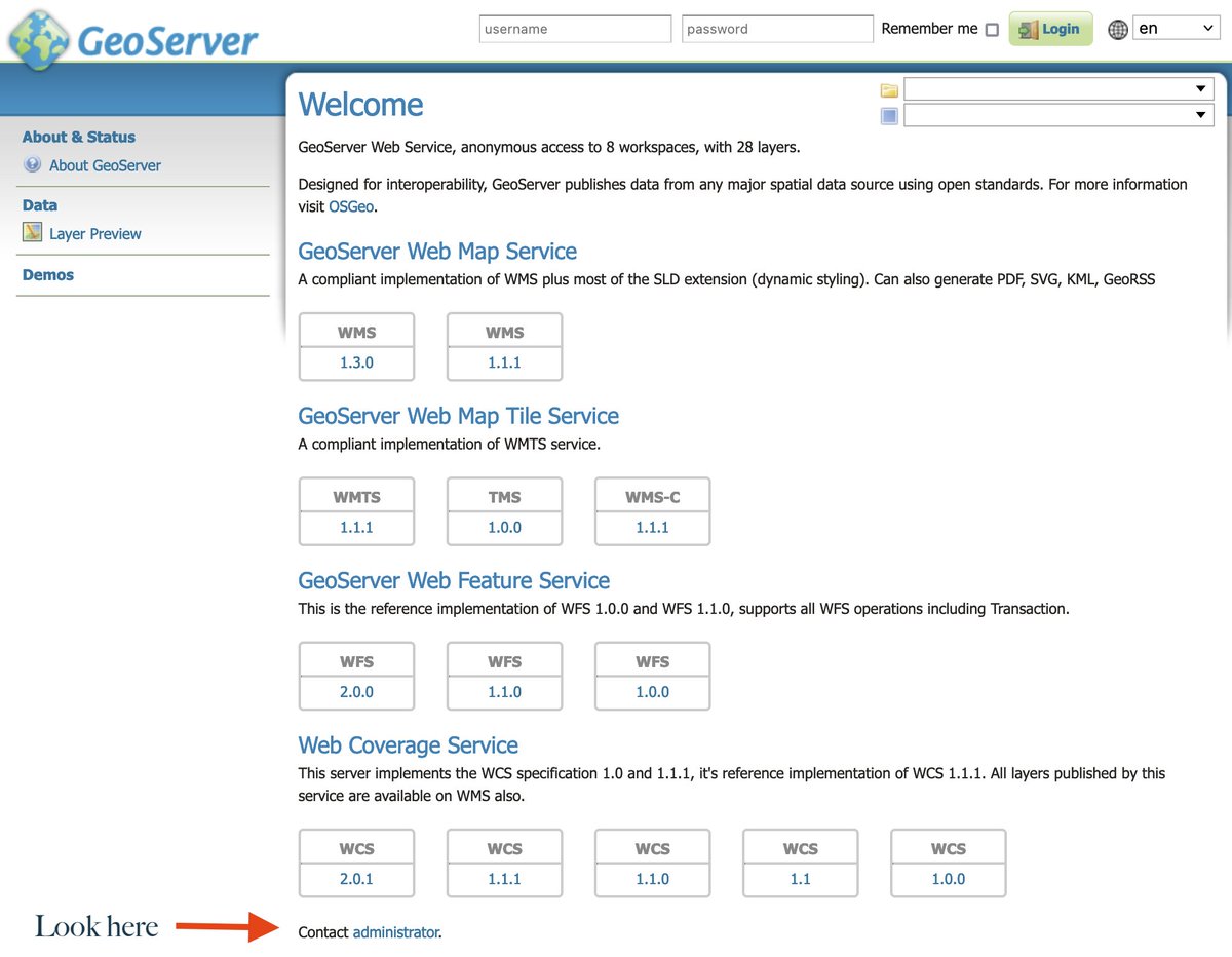
Delivered the Intro to #GeoServer workshop this morning at #GEOINT2025! 🌍💡
We explored how GeoServer powers modern geospatial data sharing. Great questions & energy — thank you all! 👏
📊 Slides here 👉 speakerdeck.com/simboss/intr…
#FOSS4G #OpenSourceGIS #Geospatial #GeoSolutions #OSGeo #GEOINT2025
1
1
10
590
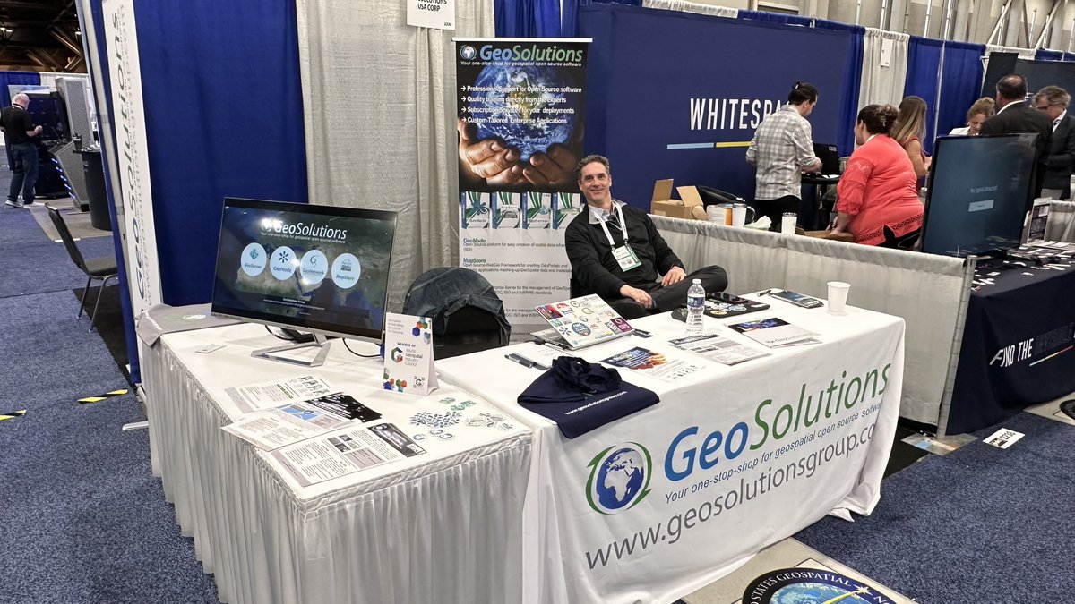
The Real GeoServer retweeted
20 May 2025
🚀 Day Two at GEOINT 2025 is in full swing — and so are we!
Come meet the GeoSolutions team at our booth and discover how we’re helping organizations worldwide unlock the power of open-source geospatial software.
🛰️ Whether you're managing critical Earth Observation data, running operational platforms, or building scalable spatial infrastructures, we can support you with:
✅ GeoServer – robust, high-performance OGC services
✅ GeoNode – collaborative data and metadata management
✅ MapStore – powerful and flexible web GIS for data visualizatio
✅ ...and deep expertise in operationalizing EO architectures 🌍
💼 We’ve supported agencies like NOAA, EMSA, DLR, EUMETSAT, and many others—so whether you're just exploring or scaling up, we can help you succeed.
📍Visit us at booth 2326 to talk about your challenges and how open source can accelerate your mission.
🔗 Let’s connect and build the future of geospatial intelligence—together.
#GEOINT2025 #GeoServer #MapStore #GeoNode #OpenSourceGIS #Geospatial #OGC #OSGEO @OSGeo @foss4g #FOSS4G #OSGeo #GeoSolutions
1
4
295