
An open source project for distributed version-control of geospatial and tabular data.
Joined March 2020
- Tweets 50
- Following 2
- Followers 541
- Likes 24
3 Photos and videos


27 Jan 2025
Kart v0.16.1 is out, with faster diff options and better support for MSSQL working copies. See the changelog at github.com/koordinates/kart/…
1
108
8 Jan 2025
We're welcoming in 2025 with a new Kart release. v0.16 includes significant speed improvements to vector & tabular data handling. Download from kartproject.org or read more at github.com/koordinates/kart/…
87
Kart retweeted

28 Jun 2024
Check out my latest article: Exploring Kart as a Geospatial Data Version Control Tool linkedin.com/pulse/exploring… via @LinkedIn @geospatialy @KartForData
3
9
288
12 Jun 2024
Kart v0.15.2 has been released - Kart now supports exports of tabular/vector data directly into other formats. Learn how to use this feature at docs.kartproject.org/en/late… or download Kart today from kartproject.org/
1
180
Kart retweeted

20 Feb 2024
One of the greatest inefficiencies in GIS? Version control for data.
Software developers have enjoyed Git for nearly 2 decades. But too many GIS professionals are still inventing complex & fragile processes to manage their updates.
This has meant fewer data updates upstream, and stale project data downstream — with all the risks and inefficiencies that entails.
Till now, that is.
One of the most exciting problems we’ve solved at Koordinates is distributed version control. Building on Git, we launched @KartForData , an open-source project that is directly integrated into Koordinates.
This means that keeping your project data up-to-date has never been easier.
Simply download the Koordinates Desktop App and clone (rather than download) your own version of a dataset in Koordinates Cloud.
When there’s an update to the authoritative dataset, you’ll get notified in the app. By clicking ‘update’, you can quickly review and merge the changes into your clone repository.
This means that you can say goodbye to stale project data — and ditch those fragile processes once and for all....
7
35
2,250
8 Dec 2023
Kart v0.15.0 adds support for raster, grid and point cloud tiles stored in your own S3 buckets. Create a Kart repo and point them to your existing datasets. Also: Apple silicon native builds. Download: bit.ly/3R52iMg | Changelog: bit.ly/46WDAp2
3
11
1,182
Kart retweeted
11 Oct 2023
Koordinates creates, contributes to and uses FOSS4G daily. That’s why we are excited and proud to be sponsors of the FOSS4G SOTM Oceania 2023 conference, taking place in Auckland next week.
See you there.
#foss4g #osgeo #gis #geospatial
2023.foss4g-oceania.org/

2
4
7
951
28 Jun 2023
At #foss4g and curious about version control for #GIS? Come along to lightening talks by @amatix at 3pm in room UBT C / N110. #FOSS4G2023 - we'll explain Kart and follow up with a demo of the Kart QGIS plugin.
1
4
429
26 Jun 2023
We'll be running a 2 hour workshop at #foss4g Prizren on Tuesday at 11am, see talks.osgeo.org/foss4g-2023-…. We'll introduce you to basic Kart concepts and do some real-world collaboration tasks. See you there! #foss4g2023 #kart Thanks @foss4g!
2
8
1,460
25 Jun 2023
Kart v0.14.0 has been released 🎉. Kart now supports raster data - version-control your GeoTIFFs alongside your vectors! Read the release notes at github.com/koordinates/kart/… and download Kart at kartproject.org/
1
3
13
1,377
25 Jun 2023
Heading to #foss4g this week? Don't miss talks by @amatix - he'll show you how Kart can radically simplify your #geodata handling and collaboration flows. #foss4g2023
1
3
1,313
Kart retweeted

30 Nov 2022
New Episode: Geospatial Version Control with @KartForData.
To put it simply, Kart is like Git but for geospatial data and it support your geo workflow.
Learn more about Kart on this episode
geospatiallyafrica.com/episo…
Check it out!
podcasts.google.com/feed/aHR…
#gischat #GIS #Git
7
14
17 Nov 2022
Kart talk and demo from @foss4guk – version control for #gis #geospatial by @amatix is online now! Check out the video below. youtube.com/watch?v=fAIh6p4r…
3
5
Kart retweeted
26 Oct 2022
Thanks to everyone that took the poll.
So I had the pleasure of chating with Hamish @polemic about @KartForData - an open source version control sw for #geospatial - for a @geospatialy podcast episode. It'll be a great introduction for those who aren't familiar with Kart
#gischat
17 Oct 2022

Hello #geospatial community, I need you help with this, thanks.
Are you using or have you ever used @KartForData in your workflow?
RT 🙏
#gischat
4
8
Kart retweeted
17 Oct 2022
Hello #geospatial community, I need you help with this, thanks.
Are you using or have you ever used @KartForData in your workflow?
RT 🙏
#gischat
17%
Yes
29%
No
55%
I haven't heard of Kart
42 votes • Final results
6
7
25 Aug 2022
Learn about practical versioning for data at #FOSS4G2022 today at 5:15pm: what it’s all about, where we’re at, and where we’re going. #FOSS4G
3
8
25 Aug 2022
Kart version 0.11.5 is available now. This release brings tab completion, some handy performance improvements, and a number of other fixes. See the full changelog at github.com/koordinates/kart/… or download from KartProject.org today.
2
3
7 Jun 2022
We've just released Kart version v0.11.3! This release includes a number of important bug fixes and performance improvements. Download from kartproject.org/
1
2
4
7 Jun 2022
Also a big welcome our Google Summer of Code contributor @amal_thundiyil. Amal will be working on a number of quality of life improvements to Kart, including better man pages and cross platform tab completion.
4
22 Feb 2022
Kart version v0.11.0 is now available to download from kartproject.org. This version introduces repository-level spatial filtering: you can now clone a subset of the data you need for your project, while retaining full commit & push functionality.
1
3
10
22 Feb 2022
You can find out more about this release at github.com/koordinates/kart/…
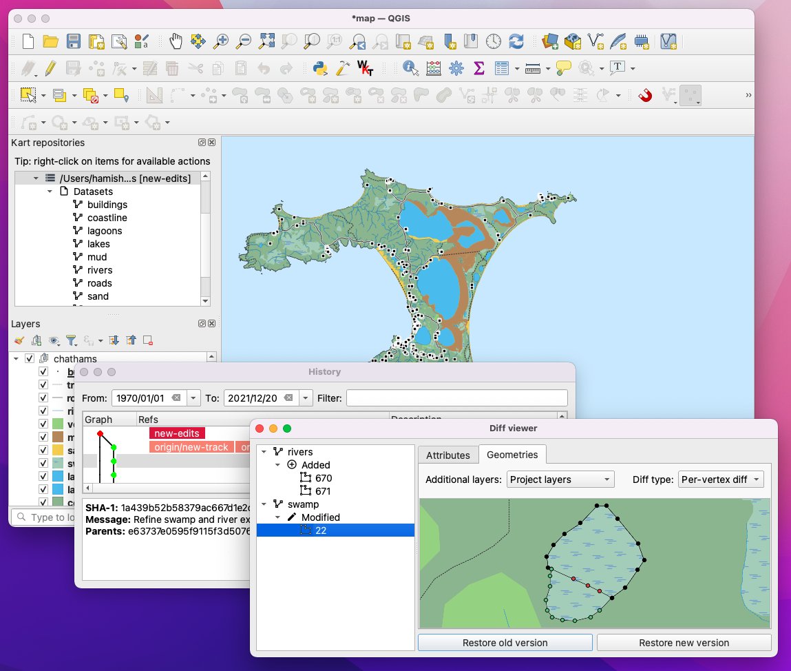
Did you know there is now a @qgis Kart plugin? Now updated to support Kart 0.11, see plugins.qgis.org/plugins/kar… or update from the QGIS plugin registry
3