
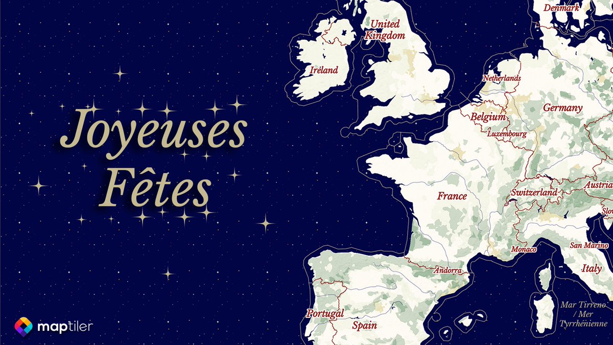
Créez et hébergez vos #cartes avec @MapTiler - Solutions cartographiques pour vos applications et sites internet. #géoservices #sig #opendata #openmaptiles
Joined March 2019
- Tweets 139
- Following 175
- Followers 191
- Likes 382
74 Photos and videos


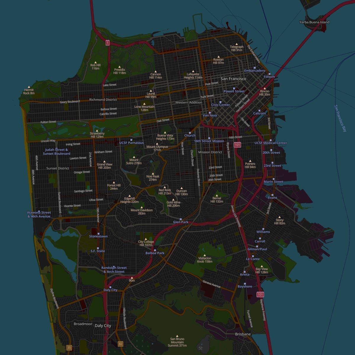
Give your dashboards or delivery apps a professional polish with OpenStreetMap Dark. Built on the OpenMapTiles schema, it provides a sleek, high-contrast backdrop that fits perfectly into any modern night-mode interface!
Read more: maptiler.link/4b9H2SP
1
1
7
373
MapTiler France retweeted

23 Jul 2025
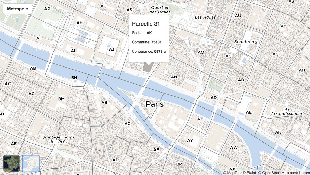
Autre surprise de taille grâce à @MapTiler un rendu personnalisé avec la langue de l'utilisateur rendant (enfin) les étiquettes internationales de la carte OSM lisible.
1
4
94
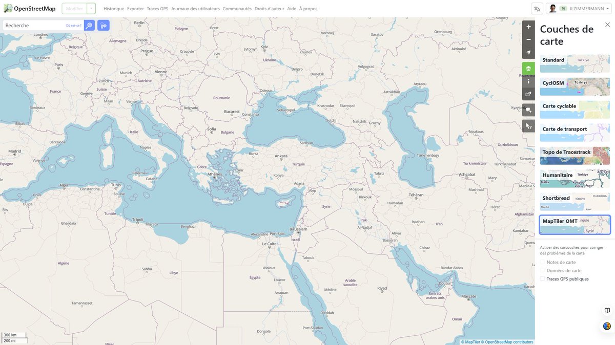
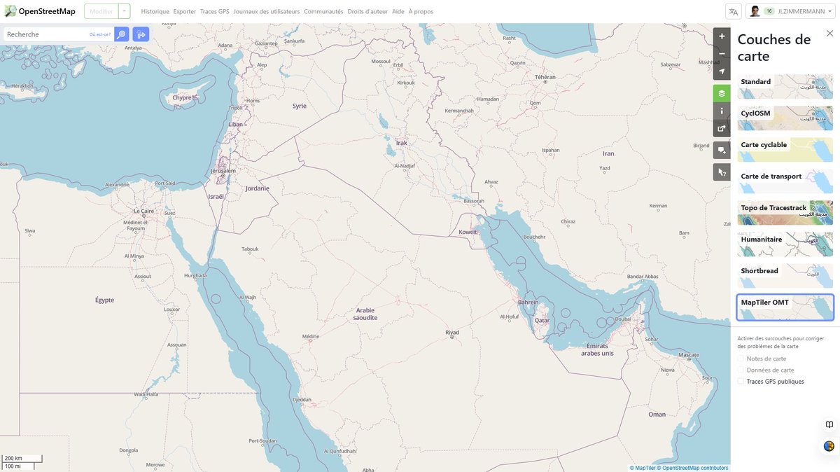
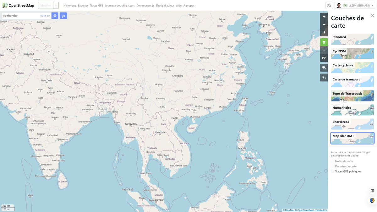
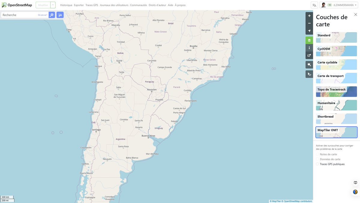
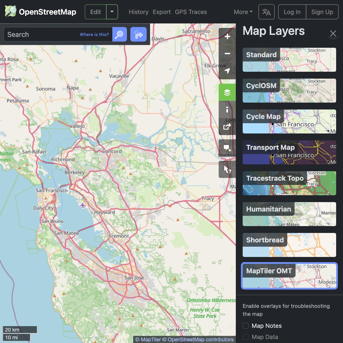
We're supporting the @openstreetmap community by providing a new map layer for their website.
Thanks to #VectorTiles technology, you can now read map labels in your own language, no matter what part of the world you are looking at! maptiler.link/452oQ8W
#WebMaps #OpenStreetMap

4
31
86
4,735
MapTiler France retweeted
23 Jul 2025
Surprise d'été 2025 : 2 nouveaux rendus (shortbread & Maptiler) pour osm.org avec du vectoriel & plus de zoom (Z23 !). Le rendu 'shortbread' sobre va être utile pour valoriser ses données. Cela va augurer de nouvelles déclinaisons thématiques. #OpenStreetMap

2
3
7
384
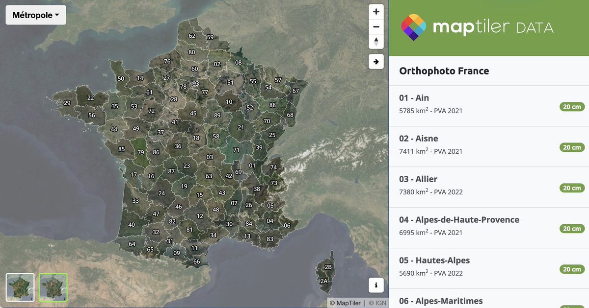
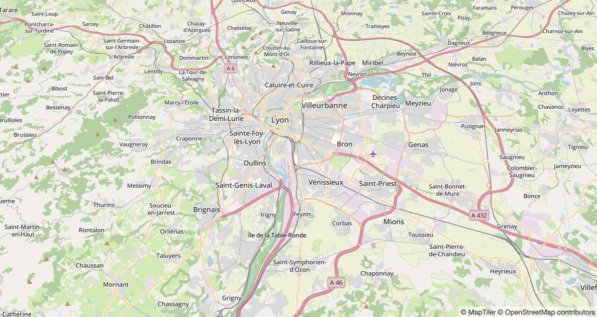
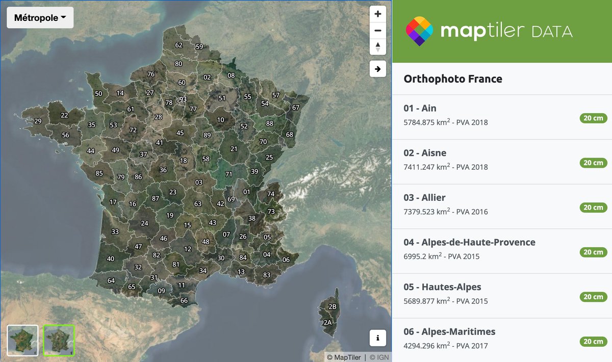
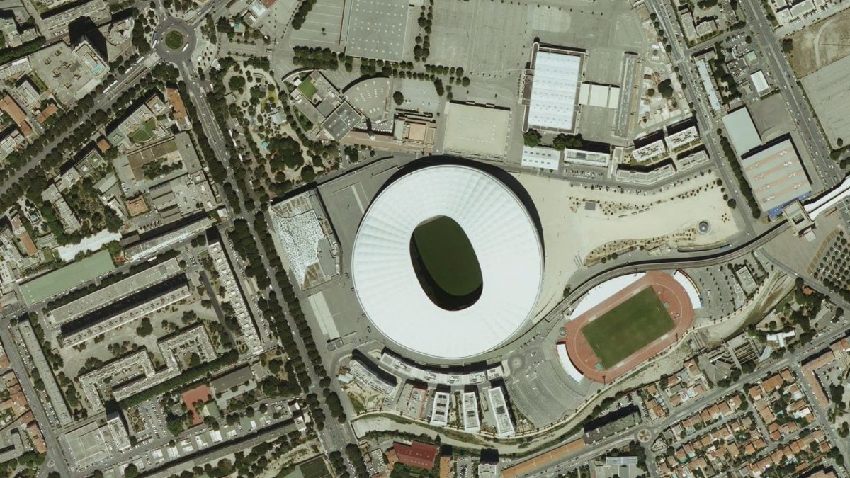
Zoom in on France and switch to the satellite layer—you’ll see the most recent aerial imagery, now updated across 95 départements. With 15-20 cm/px resolution, it’s available via API or for self-hosting. Explore it here: maptiler.link/4fsh9Mx

3
6
327

16 Jan 2025
Mise à jour complète de MapTiler Satellite pour la France! La couverture haute-resolution inclue maintenant les prises de vues aériennes les plus récentes @IGNFrance @sorianotech
maptiler.com/fr/orthophoto/
3
706
Inspired by the artistic beauty of watercolor paintings, please welcome our new map, Aquarelle!
🎨 Aquarelle
🌚 Aquarelle Dark
🌈 Aquarelle Vivid
These maps not only look amazing but also overlay beautifully with your data. Perfect for adding a touch of art to your projects!
1
3
13
659
MapTiler France retweeted

4 Jul 2024
📢I just launched a new video tutorial series - "3D Mapping with #MapLibre and #Leafmap"! 🗺️ Learn how to create stunning 3D maps with just a few lines of Python code! The first video is out. More to come 👋
YouTube playlist: bit.ly/maplibre
Notebooks: leafmap.org/maplibre/overvie…
Demos: maps.gishub.org
#geospatial #opensource #dataviz #python 🌍🖥️📊
1
31
153
8,419
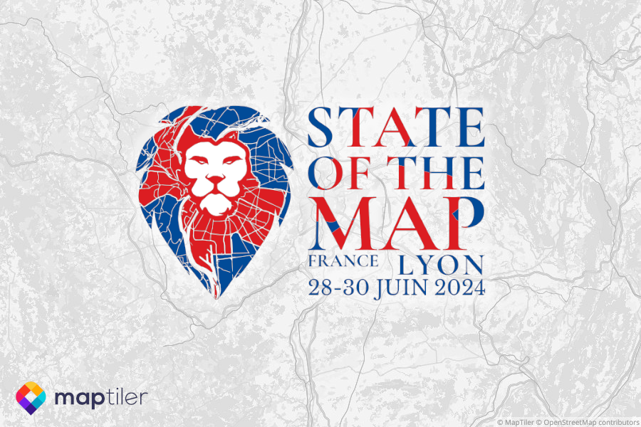
26 Jun 2024
Retrouvez-nous au #SotMfr24 ce vendredi 28/06 à #Lyon! Présentation @openmaptiles 3.15 à 16:30 - Salle 325 @MapTiler #cartographie @openstreetmap @sotmfr
7
15
762
MapTiler France retweeted

8 Jun 2024
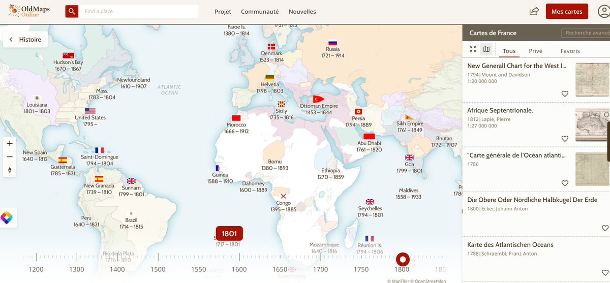
TimeMap, un moteur de recherche visuel pour trouver des cartes historiques par zones géographiques (notamment à partir de la collection David Rumsey)
cartonumerique.blogspot.com/…
1
39
117
21,828
17 May 2024
🇫🇷 Mise à jour complète de MapTiler Satellite pour la France! La couverture haute-resolution inclue à présent les prises de vues aériennes les plus récentes @IGNFrance maptiler.fr/orthophoto/

1
3
126
Use vector tiles in #LeafletJS with our plugin! Access our vector basemaps or any other vector layers in your MapTiler Cloud. You can switch languages without changing the basemap and much more! Check it out here: buff.ly/477Fp2q
4
9
756
MapTiler Engine makes processing large batches of files into map tiles easy! Filter files by attribute, removing the ones you don’t want to process. Find out how: buff.ly/41neHlf
2
4
509
22 Dec 2023
1
4
152
Happy #PostGISDay! Celebrate with vector tiles served from PostGIS on your laptop or server: maptiler.link/49ljJSL
3
5
751
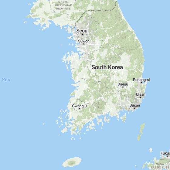
Are you heading to @foss4g_asia2023 in Seoul at the end of the month? Look out for @cartogenic, who will be talking about #Cartography and how MapTiler can help your business at the #B2B event! All the details about the conference are here: maptiler.link/3udNOU8


3
13
897
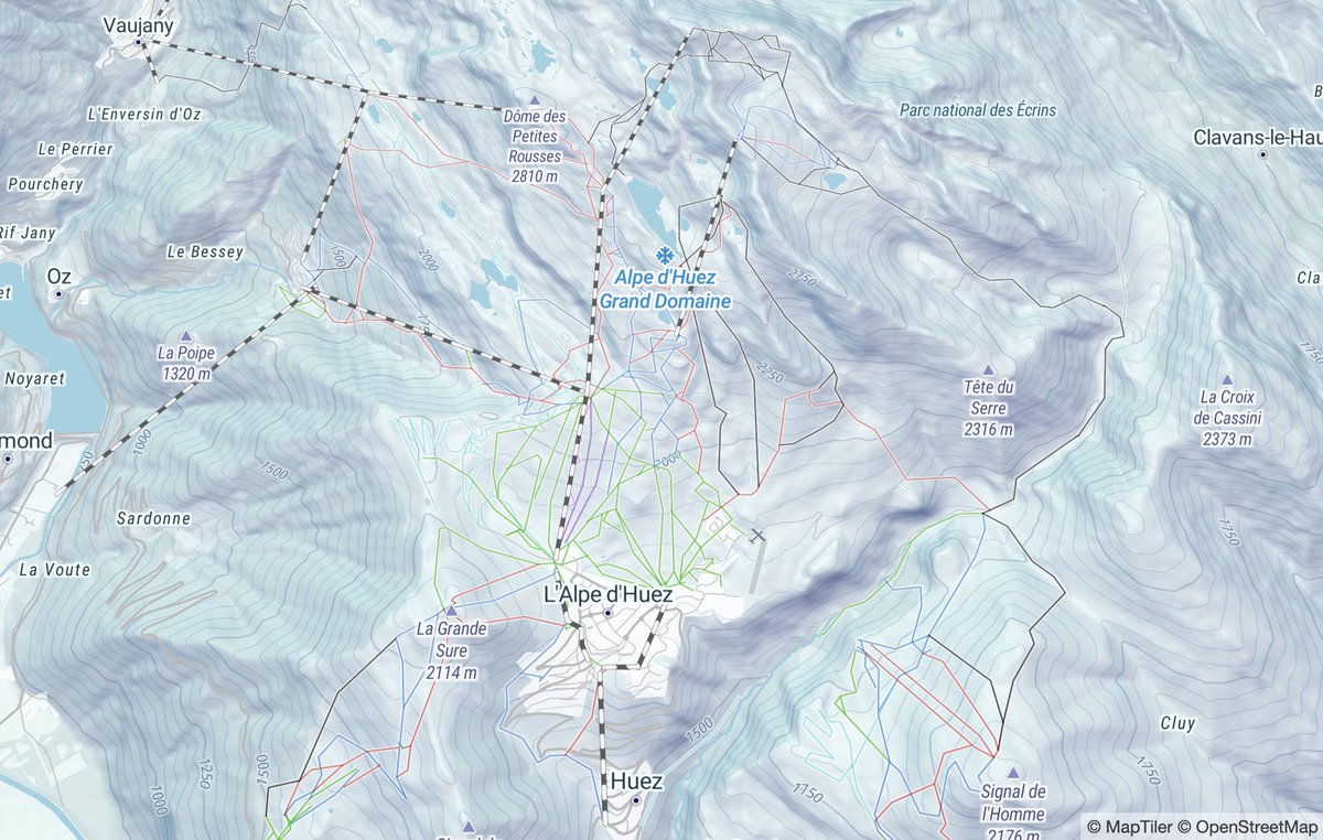
We’re always on the lookout for more high-resolution aerial imagery, giving us up to 8cm/px maps. To fill in the gaps, we’ve taken data from Maxar, getting global coverage satellite data at 1-2m/px. Now you always have the scene from above! Explore more: maptiler.link/3si3x3U
7
26
3,157
Happy Halloween! Check out our spooktacular map of creepy placenames in the USA and UK! maptiler.link/3FLaw8t
#Halloween #Map
3
10
31
10,299
Introducing our new map style editor! Create beautiful cartography using this powerful tool with an easy-to-use interface. Find out how it can help you here: maptiler.link/3P9KdNA
2
12
54
6,597
MapTiler France retweeted

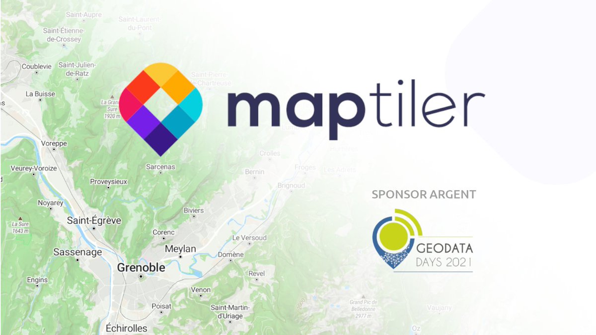
🗺️ Meet @MapTiler, our bronze sponsor!
Their maps API for developers and self-hosting map server allow for easy integration and customization. Visit: maptiler.com/ to learn more about their open-source activities 🌐
Thank you for your support, MapTiler!🤗
#FOSS4G2023

7
15
2,560