
Data scientist, mathematician, open-source zealot
Joined June 2014
- Tweets 363
- Following 137
- Followers 171
- Likes 747
6 Photos and videos

Pinned Tweet

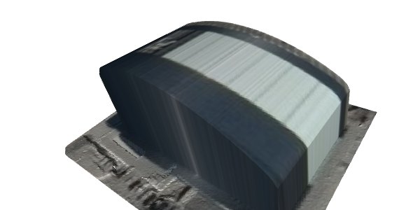
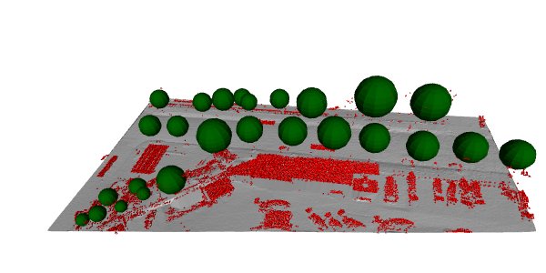
26 Oct 2017
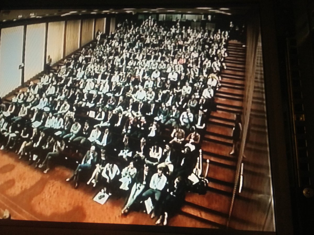
Real-time 3D modelling of the @foss4gbe conference building. Source code at github.com/rockestate/point-…
4
12
Mathieu Carette retweeted

16 Jul 2023
Our own @stefdegreef has fully covered the entire Belgian capital #Brussels by bike to create street-level imagery in 360° using one of our GoPro Hero Max's.
All footage is available on @mapillary .com under the CC-BY-SA license.
Massive applause👏👏👏
mapillary.com/app/user/Stefd…

9
58
235
22,842
Mathieu Carette retweeted

27 May 2022
Fresh from the oven: QGIS 3.26, STAC and COPC nicely working together!
Join us today in a QGIS Open Day session from 13:00 UTC where we will discuss the latest news about point clouds and 3D!
youtu.be/v-ZMRpk0mv8
1
16
46
Mathieu Carette retweeted

25 Mar 2022
PDAL 2.4.0 is released. It includes COPC.io read and write support, time queries in @tiledb, comment support in JSON pipelines, and embedded always-on LAZ support due to LASzip Apache relicensing. Release notes at github.com/PDAL/PDAL/release…
16
60
Mathieu Carette retweeted

10 Mar 2022
The first release of GeoParquet is out! This is a new geospatial vector data (point, line, polygon) format that is built on Parquet, an awesome columnar-storage format. See github.com/opengeospatial/ge… for more information and join the growing community! (1/4)
4
118
429
Mathieu Carette retweeted

23 Nov 2021
Thanks @tiledb for contributing PDAL's enhanced Python API. Thanks to this, you can now compose PDAL operations in Python instead of just passing JSON to PDAL. It should open up huge possibilities for people mixing point clouds with Python's ML machinery.
23 Nov 2021

Thanks to @tiledb, @pointcloudpipe now has an enhanced Python API that support composition, meshio, streaming, and better numpy support. Grab the source from pypi.org/project/PDAL/ or wait for @condaforge to catch up its feedstock.
10
45
Mathieu Carette retweeted
13 Sep 2021
25
51
248
Mathieu Carette retweeted
23 Aug 2021
Cloud Optimized Point Cloud, or COPC, seeks to live in the same niche as COG does for raster data, which allows for single-file storage of a the most common container format with support for spatially accelerated incremental remote access. Read up on it at copc.io/DRAFT-SPEC.html
4
20
99
Mathieu Carette retweeted
18 Aug 2021
With support from @NumFOCUS and @GdalOrg's sponsors gdal.org/sponsors/index.html, we took a big step yesterday in fixing things so the GDAL guy in France isn't in this spot all alone. lists.osgeo.org/pipermail/gd…
This tweet is unavailable
1
7
75

We are often asked to comment on the differences between Dask and Vaex. We hope you will find this useful!
vaex.io/blog/dask-vs-vaex-a-…
#Python #Vaex #Dask #DataScience
3
16
51
Mathieu Carette retweeted

12 May 2021
Next week Thursday, at the #DaskSummit2021, we're having a workshop on "Scaling geospatial vector data" with dask. Feel welcome to join!
May 20, 11:00-13:00 UTC, see summit.dask.org/schedule/pre…

Join us for the #DaskSummit2021 online conference, May 19-21. The schedule is now live:
summit.dask.org/schedule/

1
14
30
Mathieu Carette retweeted

12 Feb 2021
The program for #openbelgium21 is live 🚀🚀! Check out the line-up on 2021.openbelgium.be/ and register for FREE for your favorite sessions. #OpenKnowledge #OpenData

12
25
Mathieu Carette retweeted

2 Sep 2020
Next FOSDEM: 6 & 7 February 2021, online dlvr.it/Rfr4r5
17
276
374
Mathieu Carette retweeted

26 Sep 2020
I just published "The templating system of nbconvert 6".
Many thanks to @davidbrochart @maartenbreddels @codeseal, and all other contributors to this release! 🙏
blog.jupyter.org/the-templat…
2
20
74
Mathieu Carette retweeted

22 Sep 2020
Presented at @GeoPythonConf about the ongoing developments to improve spatial processing of vector data with PyGEOS and Shapely 2.0. Some nice improvements are coming!
See slides at jorisvandenbossche.github.io…
1
25
87
Mathieu Carette retweeted
22 Sep 2020
Help us shape the future of @geopandas development. We're launching our first GeoPandas User Survey!
forms.gle/ZYAbPeXURGvudY3V8
It takes 5-10 minutes. After we close it in about a month, we will share the results with you.
Thank you!
44
54
Mathieu Carette retweeted

20 Sep 2020
The Gentoo and Ubuntu of datascience: thinking about a source distribution based on mamba, quetz, boa and conda-packages, so users can recompile with custom compiler flags and use special build-features. I'll get a prototype of this into boa soon!
wolfv.github.io/posts/2020/0…
3
8
33
Mathieu Carette retweeted
21 Aug 2020
Yay! @pandas_dev officially added consistent missing data handling to its roadmap! 🎉
pandas.pydata.org/docs/dev/d…
If you'd like to see this sooner rather than later and want to help with making it actually happen (and not only words on a roadmap ;-)), don't hesitate to contact me
5
22
174
Mathieu Carette retweeted

27 Jul 2020
We just released @ApacheArrow 1.0.0, the first formally "stable columnar format" release with a move to SemVer for the libraries. We have a much improved website, too. Read more about what's new
arrow.apache.org/blog/2020/0…
137
371
Mathieu Carette retweeted

1 Jul 2020
I've been prototyping a lightweight Sphinx extension that lets you add *interactive code cells to your docs*. It uses @mybinderteam under the hood. Give it a shot, I'd love to hear what people think!
sphinx-thebelab.readthedocs.…
14
38
136