
UK Weather Updates | Making complex weather understandable | 20 years of studying
- Tweets 50,547
- Following 138
- Followers 35,266
- Likes 39,568


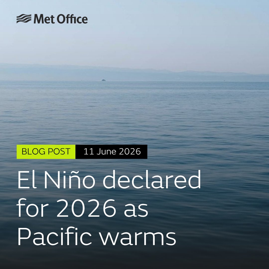
ALT Blog post - 11 June 2026 El Niño declared for 2026 as Pacific warms.


ALT Three heatmaps of the UK showing heatwave temperatures for 26 May 2026. The first heatmap shows the 'physics-based model' output - showing lower predicted temperatures than the 'FastNet' model map next to it, with the third map showing the observed weather at 12UTC on 26 May. Below the maps are the Met Office and The Alan Turing Institute logos with the text 'FastNet: Machine Learning Weather Prediction Model' to the bottom right of the graphic.


ALT Two-panel map of the UK showing peak daily maximum temperature during May 2026, based on HadUK-Grid 1 km provisional data. The left panel shows the full UK with a temperature colour scale ranging from blue (cool, 5°C) through orange to deep red (>30°C across southern England). A cyan highlight marks areas exceeding 32.8°C, concentrated in SE England, with a black box indicating the zoomed region. The right panel shows an enlarged view of SE England, with the same colour scale, revealing a large cyan hotspot centred on Greater London and the surrounding area. City labels include London, Reading, Oxford, Guildford, Gatwick, Maidstone, Canterbury, Hastings, Brighton, Worthing, Cambridge, Ipswich, Luton and Southampton. An annotation marks the peak of 35.12°C recorded on 26th May 2026. A shared colour bar runs along the bottom.