NC Hazmat Regional Response Teams (NCRRT) are ready to respond 24/7/365. Over the last (2) days, a few responses occurred, even amid the high temps.
📍(7) State Hazmat Teams
📍(31) Years Serving as NC's Hazmat Team.
📍(100) Counties Served
#ReadyNC
🥵Have you noticed how hot it is? It's as hot as the @Canes ! Serious- it's really hot & extremely dry, creating a fire risk.
🔥Consider postponing burning.
⛈️Some storms possible. 🤞your garden sees rain.
🥤Stay hydrated & limit time outside.
💃Wear loose clothing.
#ReadyNC
Yesterday, the NC Disaster Comms Team (ESF-2) met at the State EOC to talk about technology and underwent scenario based discussion to plan for their actions during a disaster. Restoring & maintaining communications for responders and the public is their focus.
#ReadyNC
🌧️ ☀️ Rain or shine, our pets are a member of our family. Make sure you plan for how to evacuate with all of your loved ones and pets. Plan to stay with friends and family, or look for pet friendly hotel or shelter options. #NationalPetPreparednessMonth#ReadyNC
Dangerous heat is forecast for Friday and will continue into the weekend. A Heat Advisory has been issued for central and eastern NC from 11AM-8PM. Severe thunderstorms are possible across NC on Friday with damaging wind gusts and large hail. ReadyNC.gov/weather#ReadyNC
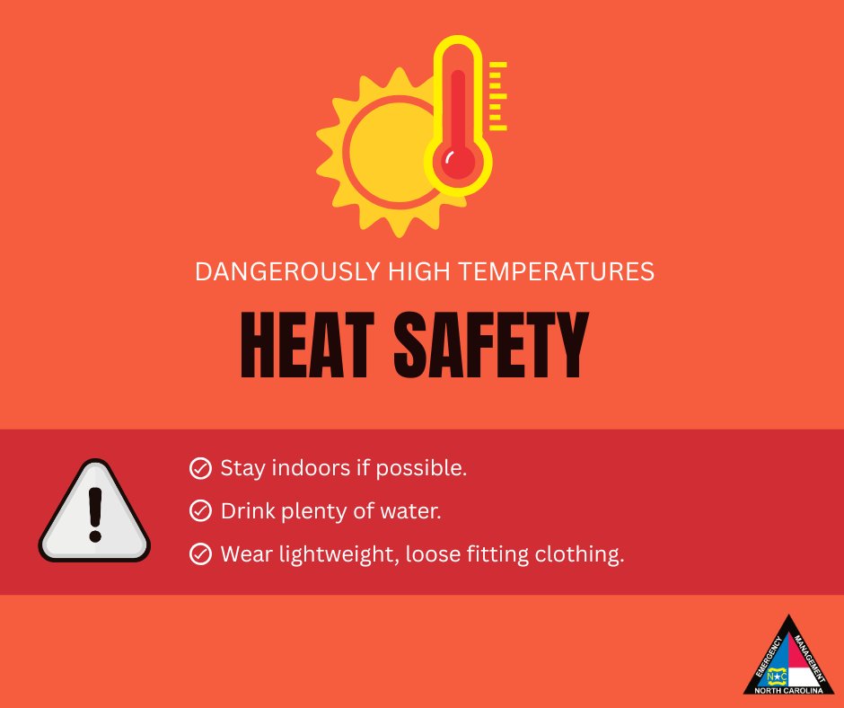
ALT A heat safety advisory is depicted with a sun and thermometer graphic. The background is red, indicating high temperatures. Advice includes staying indoors, drinking plenty of water, and wearing lightweight, loose-fitting clothing. A warning symbol and a North Carolina Emergency Management logo are present.
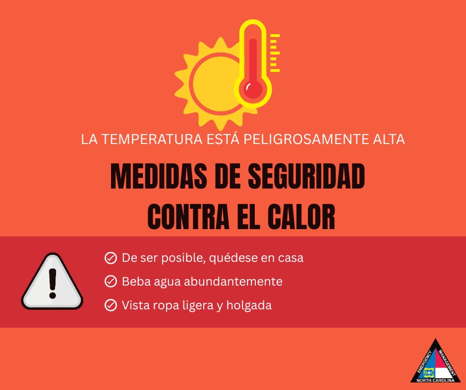
ALT The image is a heat safety warning with a red background. A sun and thermometer graphic indicates high temperature. The text reads: "La temperatura está peligrosamente alta. Medidas de seguridad contra el calor," followed by safety tips. A warning icon is shown at the bottom, and the North Carolina Emergency Management logo appears in the corner.
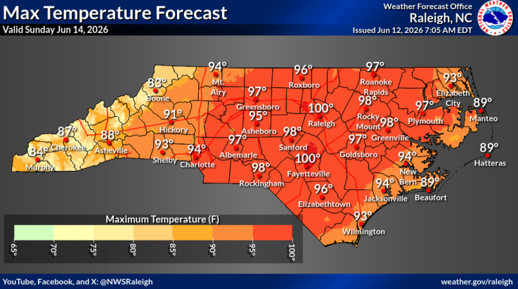
ALT A map of North Carolina shows the maximum temperature forecast for June 14, 2026. Temperatures range from 86°F at the coast to 100°F inland, specifically in areas like Raleigh, Fayetteville, and Rocky Mount. Cooler temperatures in the 80s are depicted in the western regions. The map features a color gradient from yellow to dark red, indicating increasing temperatures. Raleigh is noted at the top right corner as the origin of the weather forecast.
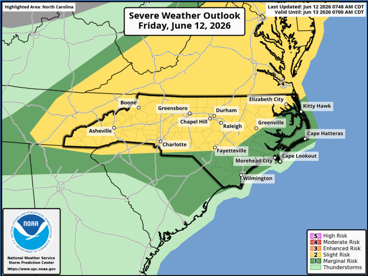
ALT This image is a severe weather outlook map for Friday, June 12, 2026, highlighting North Carolina. It shows risk areas with colors: slight risk (yellow) covering cities like Boone, Greensboro, and Raleigh; marginal risk (dark green) for Kitty Hawk, Morehead City, and Wilmington; and thunderstorm potential (light green) for coastal areas including Cape Lookout.
Every great team starts with a strong lineup.
Build your hurricane preparedness starting XI before the next storm enters the field.
Hurricane season is already underway. Visit ReadyNC.org for preparation tips.
🚁Ever wondered what it takes to make the NC Helicopter Aquatic Rescue Team (NCHART)? Over the last 2 weeks, NCHART held it's 2026 Indoc Evaluation for prospective NCHART Rescue Technicians.
#ReadyNC
Dangerous heat is forecast Thurs. & Friday. A Heat Advisory is in place for portions of central NC today from 11AM - 8PM. Severe thunderstorms are possible in northern areas on Thurs. before spreading across western and central NC on Friday. #ReadyNCReadyNC.gov/weather
Great meeting today between NCEM and the Metro Section of the @NCAFCChiefs to discuss collaboration, disaster response, and how to strengthen our partnerships.
It's all about partnerships in NC and where the State Emergency Response Team gets it's strength!
#ReadyNC
Going on vacation? Here's a simple trick to check if your freezer lost power while you were gone: Freeze a glass of water with a quarter on top. If the quarter is at the bottom when you return, your food may not be safe to eat. #ReadyNC
⛈️The foothills and WNC could see storms tonight with heavy downpours that could cause flash flooding.
👍Tonight- enable emergency alerts on cell phone, monitor your wx radio, sign up for local EM alerts, and have a plan to move to higher ground if necessary.
#ReadyNC
It’s 6-7 so it’s only fair:
Why was 6 afraid of 7?
Because 7 8 (ate) all the snacks in the hurricane kit before the storm even hit!
If you ate your emergency rations early, remember to restock before the power goes out. #HurricaneSeason #67 #ReadyNC
Your pet should be restrained when you get behind the wheel because an unsecured pet can be a danger to themselves and others. For more pet preparedness tips visit readync.gov/plan-and-prepare…#ReadyNC
North Carolina has hurricanes on the mind right now.
A winning game plan starts before the pressure is on. Build a strong hurricane starting lineup and stay informed at ReadyNC.gov.
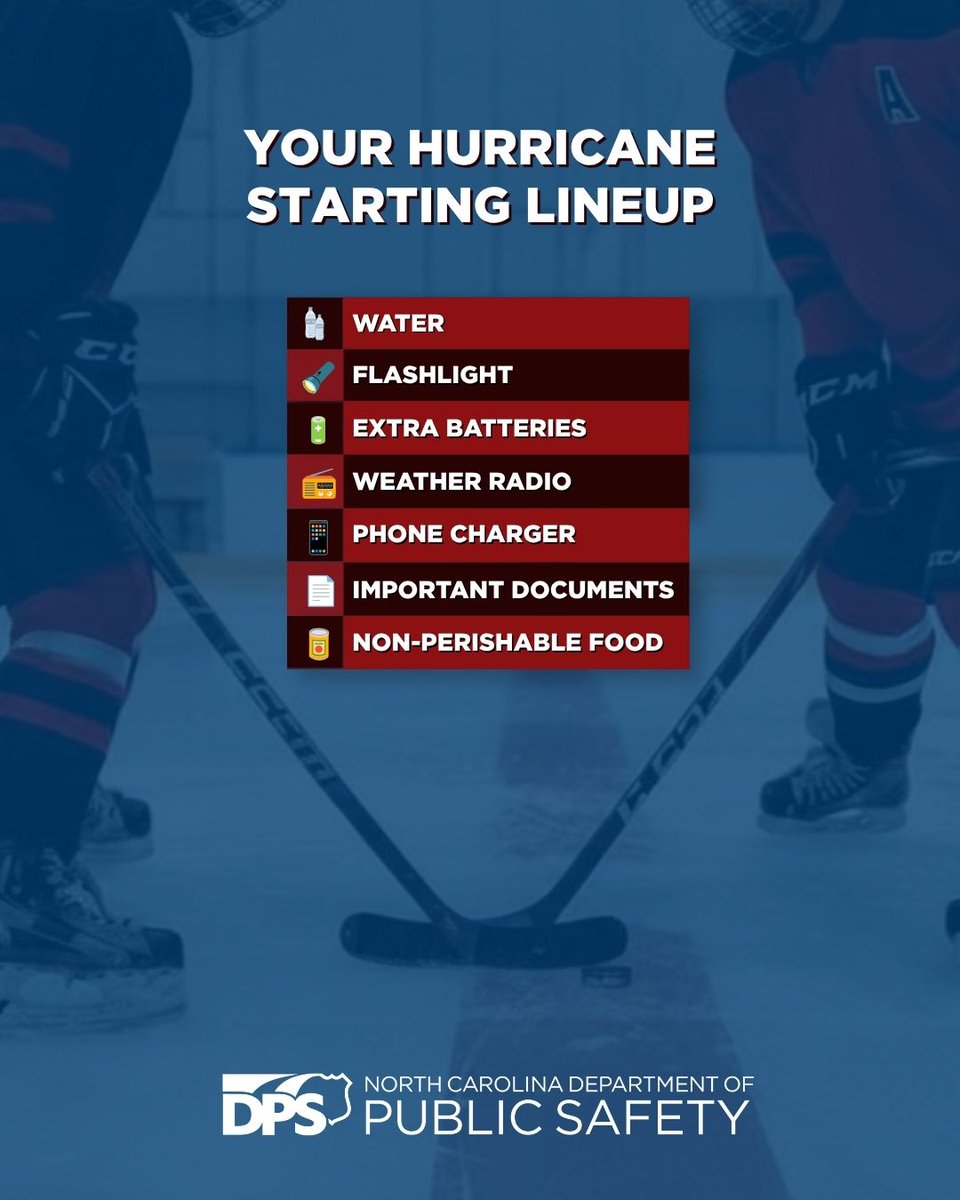
ALT Image of a poster from the North Carolina Department of Public Safety titled "Your Hurricane Starting Lineup." It shows two people facing off on an ice hockey rink. The list includes items: water, flashlight, extra batteries, weather radio, phone charger, important documents, and non-perishable food.
This week, members of your NCEM and @NCDEQ held their annual Emergency Operations Center Training and Hurricane Kickoff Meeting. On June 1st, we entered the 2026 hurricane season. Visit ReadyNC.gov to learn more on how you can be best prepared for disasters.
#ReadyNC
Our pets feel the pressure changes before we do. If your pet gets anxiety, have their crate or comfort space ready before the storm. Grab a few toys and treats to help them stay calm through the storm. For more info, visit readync.gov/plan-and-prepare…#PetPreparednessMonth#ReadyNC