
Your data. Your Raleigh. Explore the data produced by our municipality and learn to tell your own story with our easy to use visualization tools.
Joined December 2012
- Tweets 1,039
- Following 640
- Followers 625
- Likes 1,427
70 Photos and videos


Pinned Tweet

3 Aug 2020
Greetings, friends! We are migrating all future social media content to @RaleighGov! Please be sure to follow that account for all City happenings and future data-related posts. Data.RaleighNC.gov will remain unchanged!
ALT Downtown skyline at dusk with technology graphics
2
11
22 Jul 2020
Spread the word!
22 Jul 2020

Save the Date!
Connected Communities Conference
🗓️ January 15, 2021
🔵 Digital Inclusion
🔵 Transportation & Mobility
🔵 Smart City Accomplishments
🔵 Future Technologies
🔵 and more!
More information: bit.ly/2ZOvr6E

ALT A photo of downtown Raleigh at night. The buildings are lit up with a blue and purple sky in the background. Circles and nodes appear over the image, indicating connectivity
2
22 Apr 2020
We couldn’t have said it better ourselves! #maps
21 Apr 2020

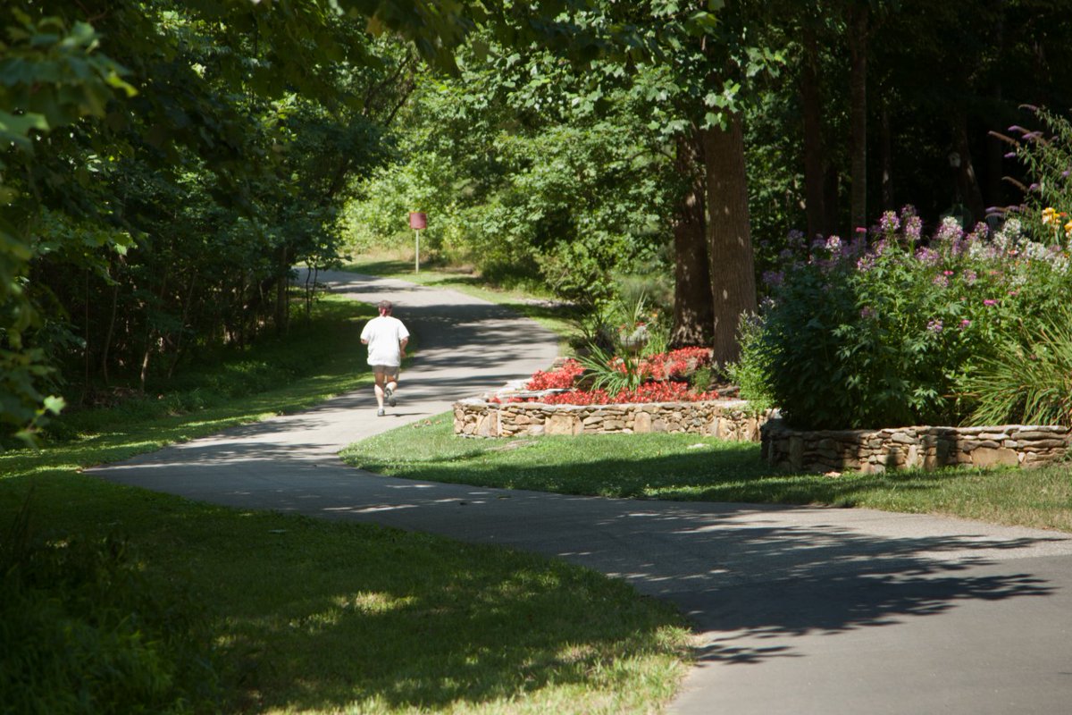
To improve social distancing, try a new park or take the trail less traveled! Use our Park Locator to explore the over 200 parks and over 100 miles of greenway Raleigh offers. 🌳☀️🙌 Remember to always stay 6 ft away from others. ❤️ #RaleighParks bit.ly/3amDObr
2
11 Mar 2020
The weather's getting better! Time to get outside and enjoy it! We have a @raleighparks locator for that! bit.ly/parklocatorapp #raleighparks #parklocator #raleigh #getoutside #dataviz
ALT Image of buttons depicting data categories on Open Raleigh
1
1
10
6 Mar 2020
5 Mar 2020

NC Open Pass event to celebrate International Open Data Day #WRALTechWire wraltechwire.com/2020/03/05/…
4
27 Feb 2020
This event includes us! If you want to learn more about @RaleighGov #opendata, register at the link below and be there on March 7!
1
4
21 Feb 2020
1
2
14 Feb 2020
Who said that public servants are humorless? Not us!


5
13 Feb 2020
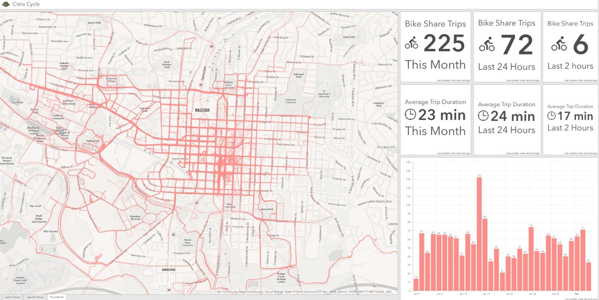
ICYMI: You asked, and we now have a dashboard for that! Check out @CitrixCycle info in our Apps section here: bit.ly/CCycle2020
#cycle #opendata #dataviz #ArcGIS #maps #RaleighNC
ALT Map of bicycles routes and graph of peak use
1
2
9
4 Feb 2020
You asked, and we now have a dashboard for that! Check out @CitrixCycle info in our Apps section here: bit.ly/CCycle2020
#cycle #opendata #dataviz #ArcGIS #maps #RaleighNC
ALT Citrix Cycle use in a dashboard
2
7
31
22 Jan 2020
We love it when our data sets are put to good use! Tell us what you've done with #opendata from @RaleighGov! #ArcGIS #dataviz #maps #parks #greenways #RaleighParks
22 Jan 2020

1. Find data at data-ral.opendata.arcgis.com…
2. Select Download>Shapefile. This will download a .zip file. Don't extract!
3. Go to mapshaper.org
4. Drop the .zip into mapshaper and select Import
5. Click Export
6. In the Export menu select SVG, then export
Voila!
3
9
15 Jan 2020
Looking for a new gig for 2020? We have an app for that! Check out our @RaleighGov open jobs through Open Raleigh
bit.ly/RaleighJobListings202…
#Raleigh #werehiring #opendata #PowerBI
2
4
31 Dec 2019
The view from our HQ this morning. Happy New Year, friends! Who’s ready for tonight? #NYE2020 #RaleighNC #dtraleigh #FirstNightRaleigh
7
26 Dec 2019
Looking for a new gig for 2020? We have an app for that! Check out our @RaleighGov open jobs through Open Raleigh: bit.ly/RaleighJobListings201…
#Raleigh #werehiring #opendata #PowerBI
6
23 Dec 2019
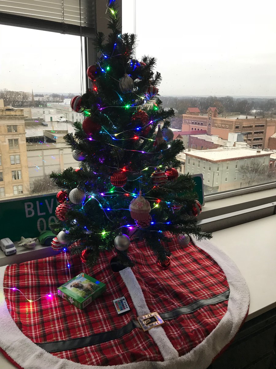
The lights are twinkling here at Open Raleigh! Wishing you and yours the very best as you celebrate the season!
ALT Holiday tree with lights in front of window
6
23 Dec 2019
GPS helps "write" haikus. Try it!
We got:
A bite in The Big Easy in the afternoon
Finally round the bend
On two wheels
20 Dec 2019

It’s a fun exercise to see how different haikus can be, with only a few miles between them. f-st.co/7eqZXtB
1
3
18 Dec 2019
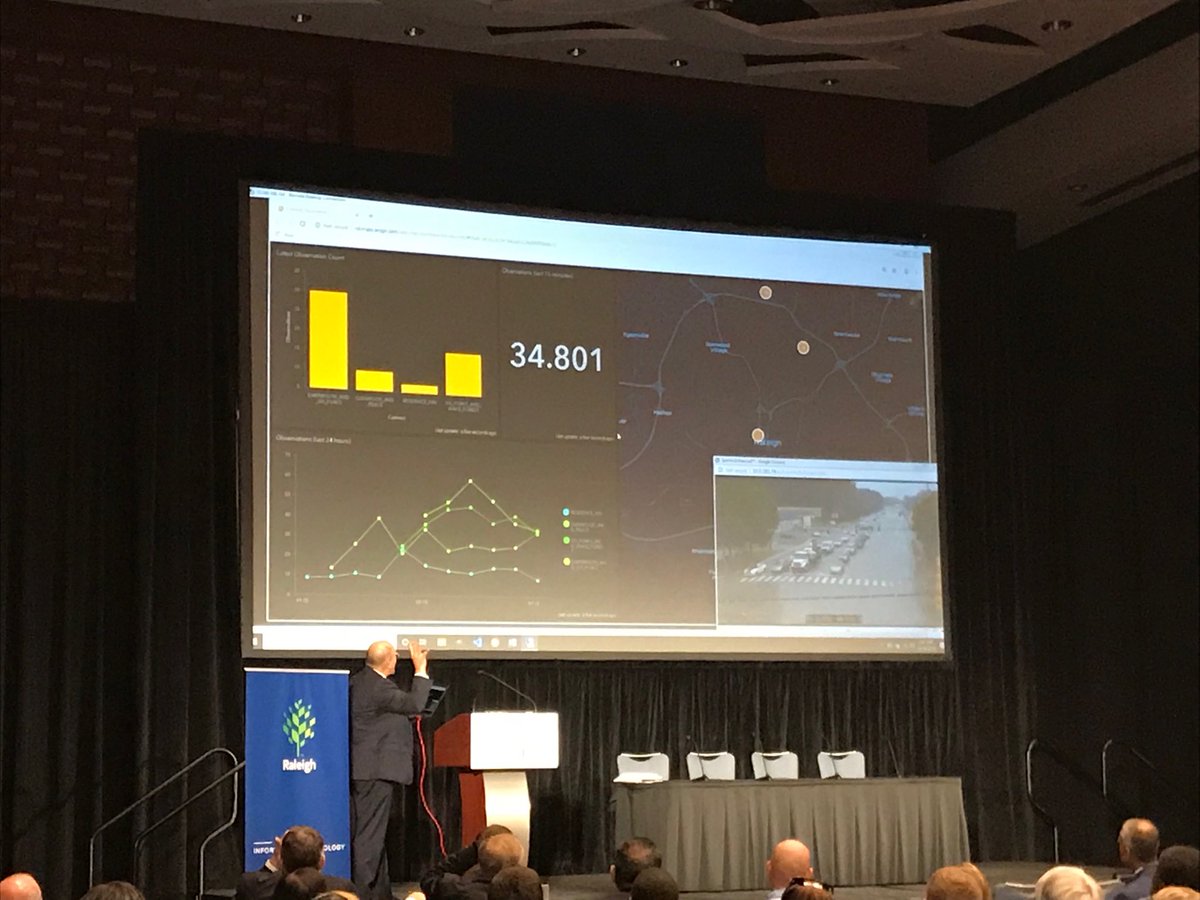
The videos are posted! The 2019 Triangle Smart Cities Summit videos are here: bit.ly/TriangleSmart1…
#smartcities #5G #TriangleSmart19
ALT graphic of a downtown
1
2
16 Dec 2019
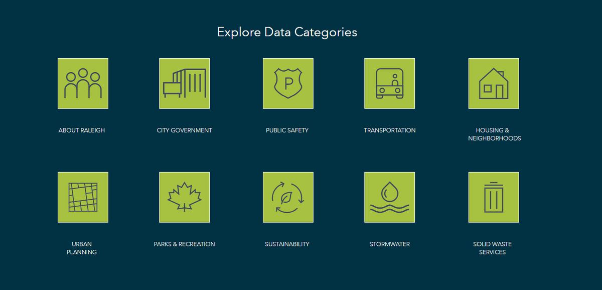
Want to take a deep dive into @RaleighGov data? We have almost 200 data sets waiting for you to explore! Click on "About Raleigh" to get started! bit.ly/AboutRaleigh
1
4
10 Dec 2019
We're not at all surprised that #Raleigh is recognized as a top spot in the CompTIA Tech Town Index 2019! #techtalent #jobsintech
comptia.org/content/research…
1
5
4 Dec 2019
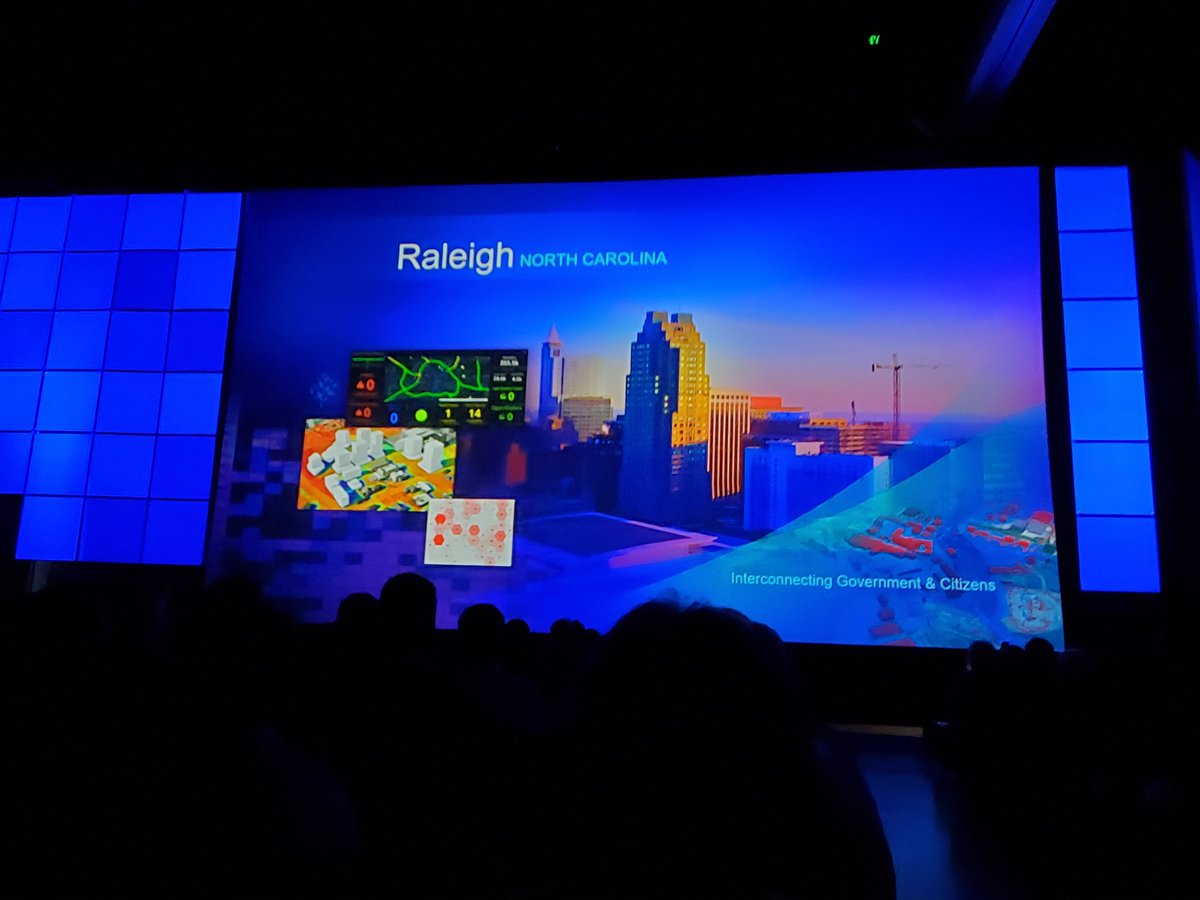
So proud to be partnering with this great team on this important research! Learn more about what #AERPAW in this video from the 2019 Triangle Smart Cities Summit! bit.ly/AERPAWPanel2019 #TriangleSmart19 #5G #SmartCities
4 Dec 2019

With a $24 million, five-year grant called AERPAW, the Research Triangle joins Salt Lake City and New York City as the country’s next advanced wireless research facility. See how @NCStateEngr is driving 5G innovation: thinkand.do/NZbfJn #ThinkAndDo

3