The SERVIR Global Collaborative is a network of hubs and partners advancing SERVIR’s legacy through geospatial innovation and local capacity building.
- Tweets 6,048
- Following 490
- Followers 7,167
- Likes 6,570


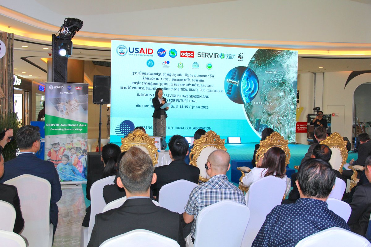
ALT SERVIR Southeast Asia (SERVIR SEA) Learning Exchange and Public Event, organized in Vientiane, Lao PDR under the Trilateral Transboundary Air Quality Management Project – a partnership among USAID, the Thailand International Cooperation Agency (TICA), and the Natural Resources and Environment Statistic and Research Institute (NRERI) of the Laos Ministry of Natural Resources and Environment (MONRE). This event is also co-organized by the USAID Mekong for the Future implemented by WWF.
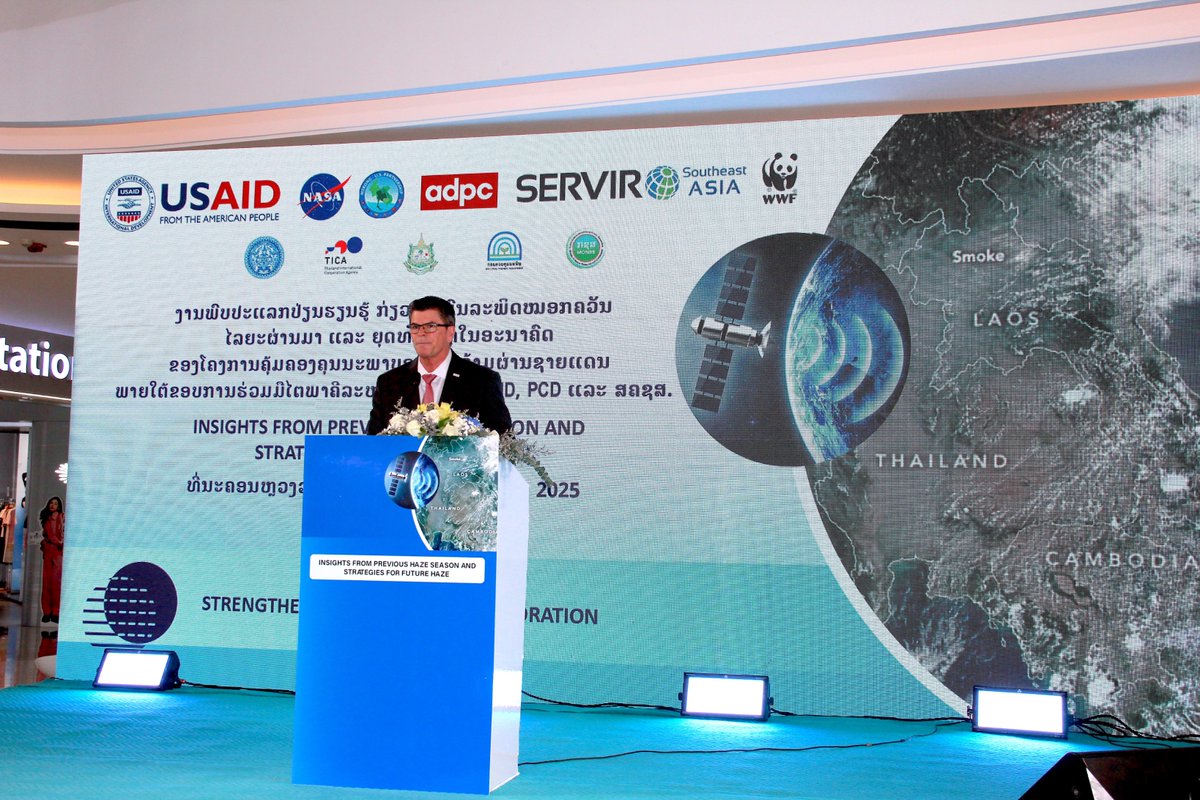
ALT Michael McCord, Country Representative, USAID/Laos during his opening remarks at the SERVIR Southeast Asia (SERVIR SEA) Learning Exchange and Public Event, organized under the Trilateral Transboundary Air Quality Management Project – a partnership among USAID, the Thailand International Cooperation Agency (TICA), and the Natural Resources and Environment Statistic and Research Institute (NRERI) of the Laos Ministry of Natural Resources and Environment (MONRE). This event is also co-organized by the USAID Mekong for the Future implemented by WWF.

ALT Aekkapol Aekakkararungroj, SERVIR SEA Geospatial Data Scientist demonstrates features of Air Quality Tracker to Michael McCord, Country Representative, USAID/Laos, and Lienxay Bounmanivanh, Director-General, NRERI, Laos MONRE.
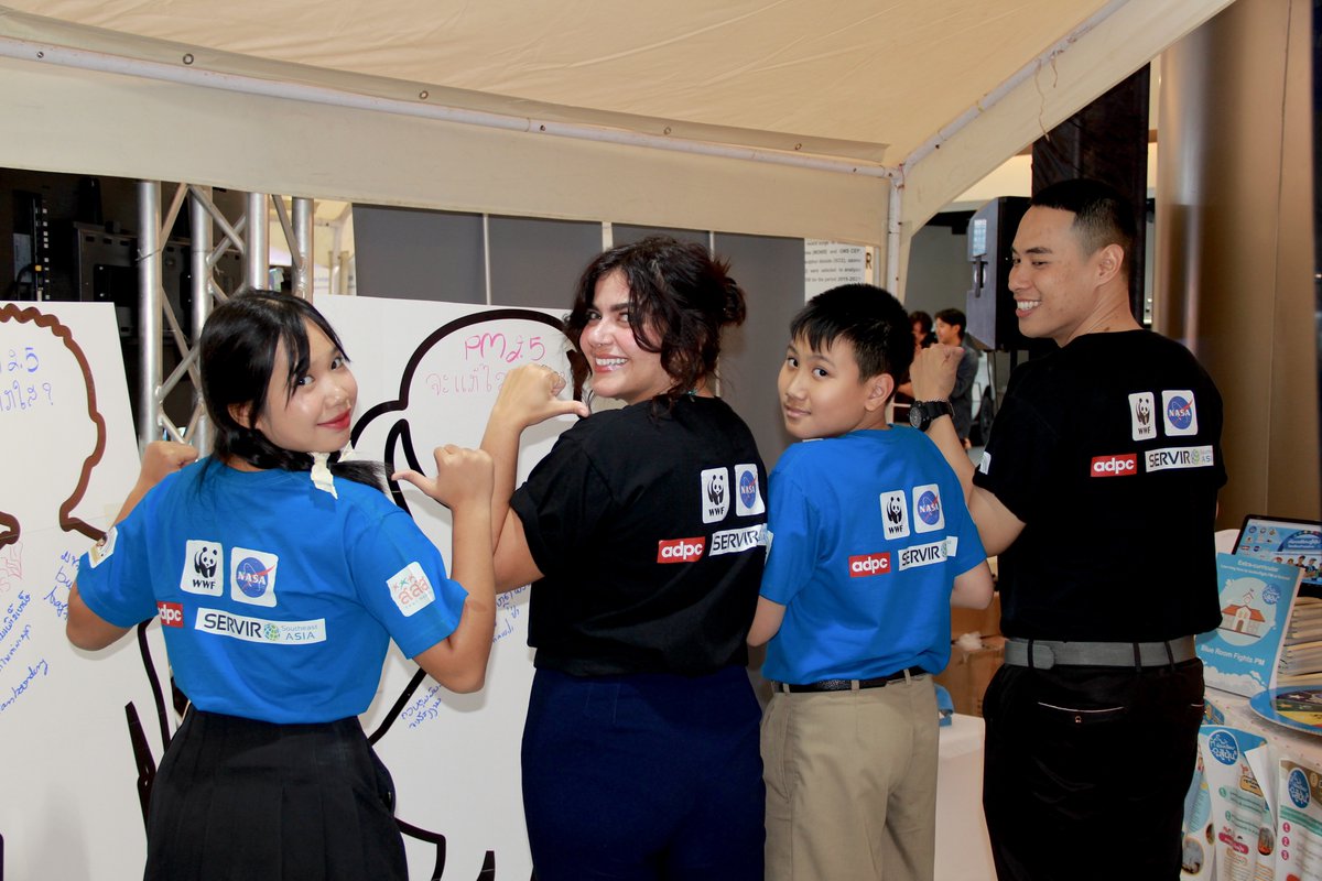
ALT Students and teachers of the Blue Schools program. Blue schools teach students across Thailand about the science behind air quality measurements, how they can protect themselves from unhealthy pollution, and what they can do to take action for clean air.


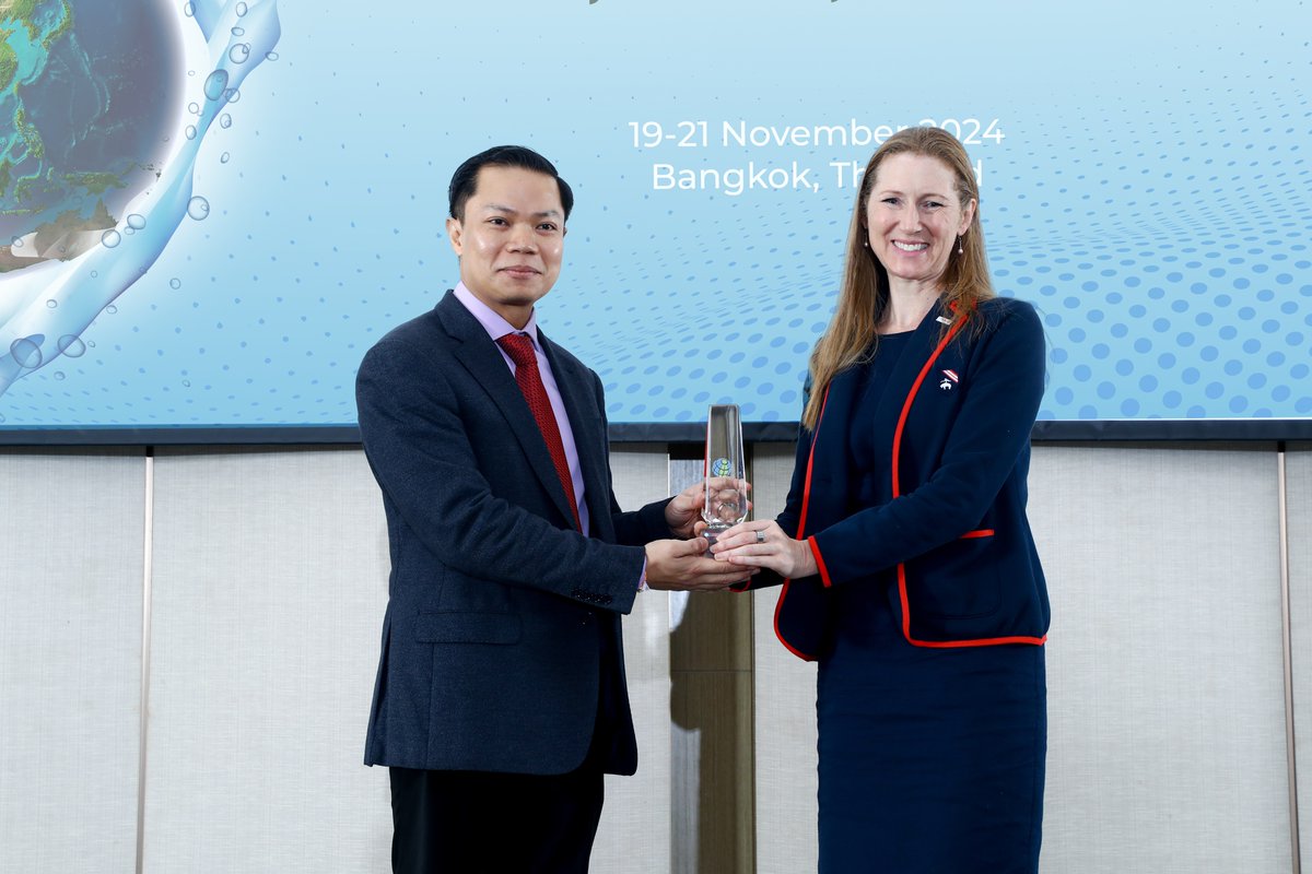
ALT Linda McElroy, Deputy Mission Director of USAID’s Regional Development Mission for Asia handing the symbol of appreciation that reflects the acknowledgment of commitment and hard work to Dr. Anoulak Kittikhoun, CEO of the Mekong River Commission.
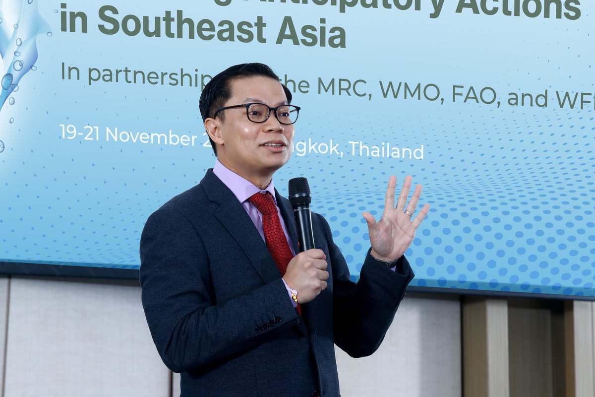
ALT Dr. Anoulak Kittikhoun, CEO of the Mekong River Commission, who reflected on this decade of collaboration with USAID and ADPC.
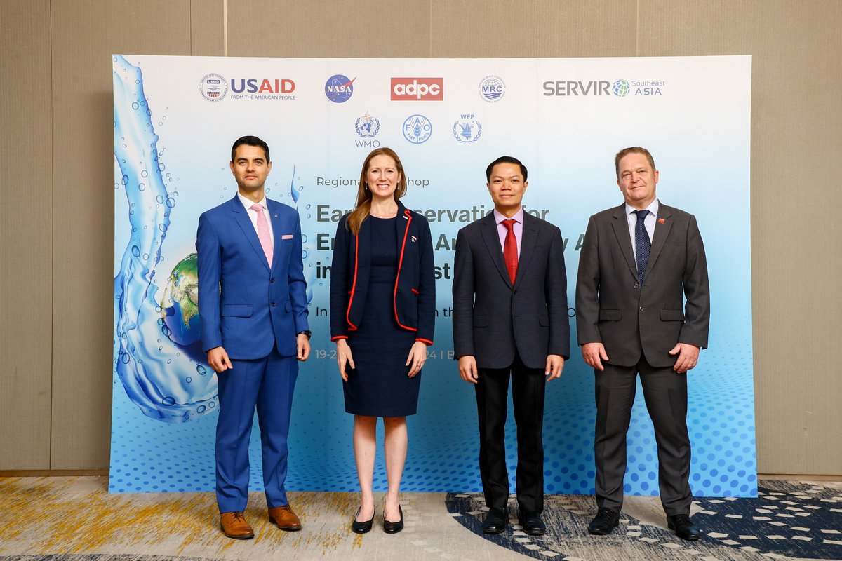
ALT Celebrated USAID-NASA-ADPC-MRC Collaboration and Achievements on Satellite Applications for Flood and Drought Management in Bangkok.
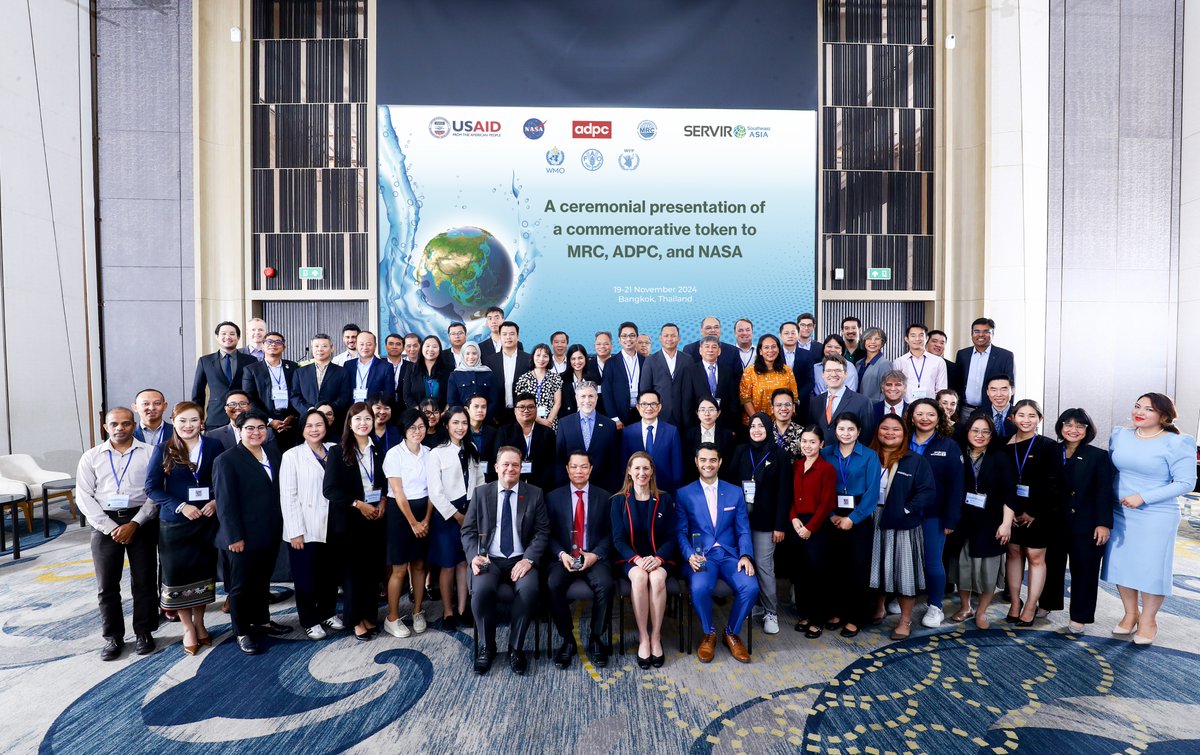
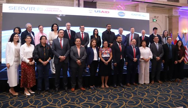
ALT Group Photo