
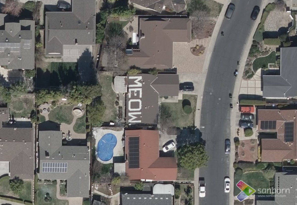
Delivering quality data-from photogrammetry, to web-based information platforms & 3D visualization systems-we are geospatial solutions for customers worldwide.
Joined May 2009
- Tweets 2,972
- Following 983
- Followers 1,552
- Likes 11,590
862 Photos and videos


Pinned Tweet

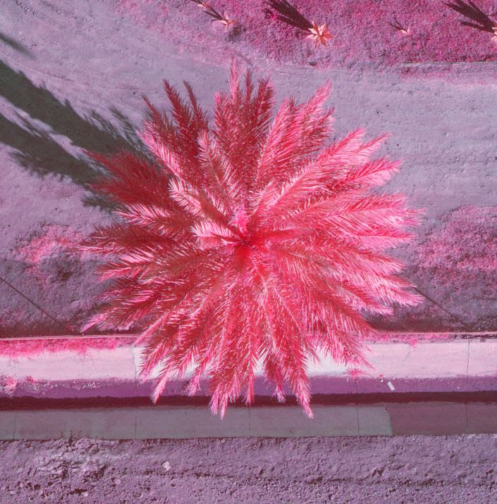
17 Jan 2023
Doesn’t a palm tree look better in Color-Infrared (CIR)? #CapturedBySanborn
2
1
4
354
The Sanborn Map Company retweeted

17 Mar 2023
Shoutout to #GISValTech 2023 sponsors and exhibitors! See you in Las Vegas next month! Solutions galore! @IAAOHQ @Esri @esricanada @spatialest @tylertech @devnetinc @EagleViewTech @CyclomediaUS @nearmap @PatriotPropInc @SanbornMap @MobileAssessor @Aumentum @EcopiaAI

4
9
1,165

14 Feb 2023
With all the tech coming out and new sensors "there is nothing we cannot map," - Our VP of Operations Jared Martin at @GeoWeekExpo
@GeoWeekNews
2
186
The Sanborn Map Company retweeted
26 Jan 2023
Thank you to #CalGIS2023 sponsor @SanbornMap - looking forward to catching up in Monterey!
urisa-portal.org/page/CalGIS
@cal_urisa @cal_cgia

1
2
235
The Sanborn Map Company retweeted

13 Feb 2023
With all the tech coming out and new sensors "there is nothing we cannot map," says Jared Martin of @SanbornMap during a packed topo/bathy session. #geoweek
2
2
284
9 Jan 2023
2
1
406
5 Jan 2023
Heading to @GeoWeekExpo 2023? Our VP of Operations Jared Martin will be hosting an amazing session entitled "Advances in Topobathymetry and Coastal Mapping"! > geo-week.com/session/advance…
@GeoWeekNews @ASPRSorg @isprs @MAPPSorg @USIBD @WGICouncil #GeoWeek #GeoWeek2023
1
2
292
The Sanborn Map Company retweeted

20 Dec 2022
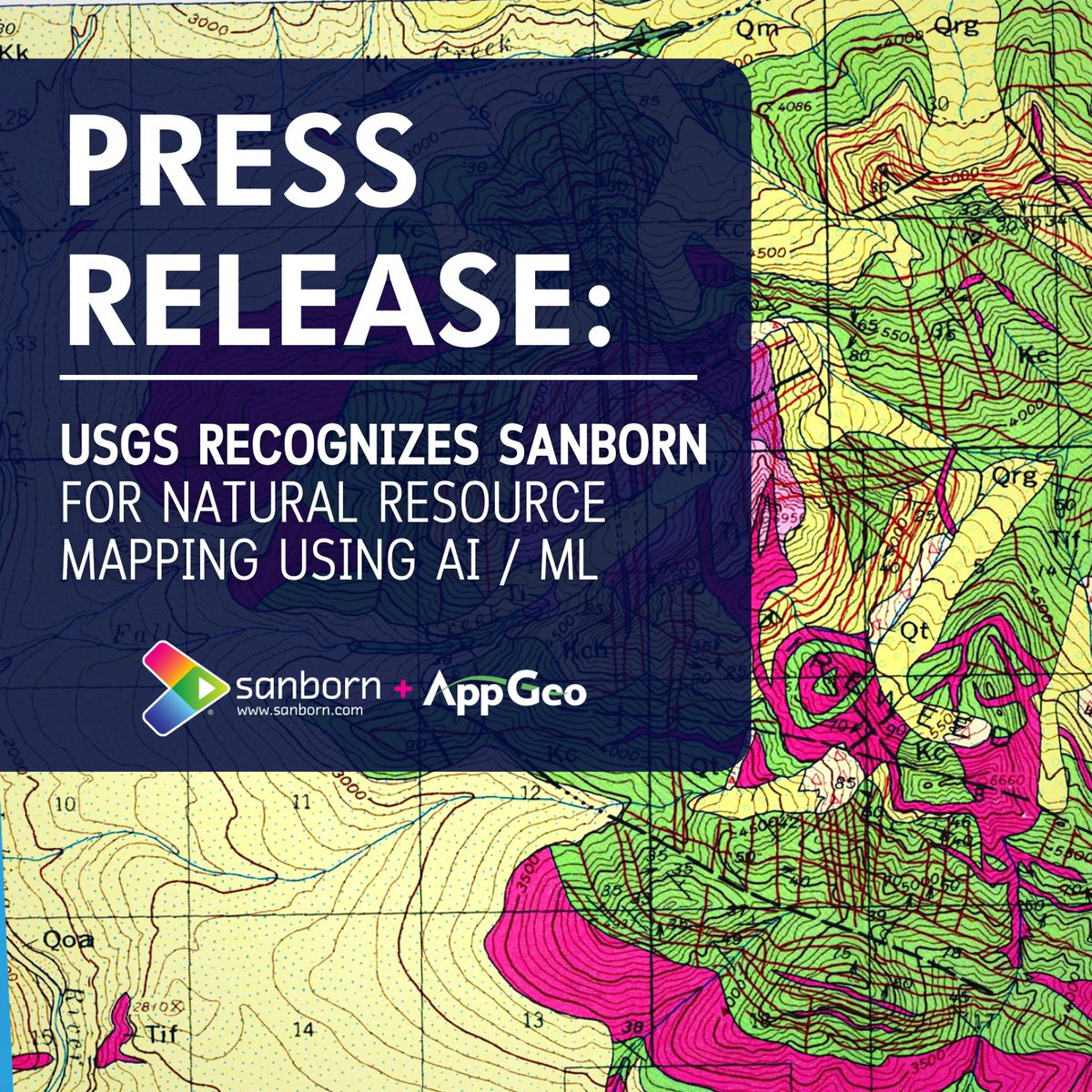
USGS Recognizes Sanborn Expertise in AI/ML for Natural Resource Mapping - Yahoo Finance: USGS Recognizes Sanborn Expertise in AI/ML for Natural Resource Mapping Yahoo Finance dlvr.it/SffnC8 #AI #artificialintelligence #Finperform
1
107
The Sanborn Map Company retweeted

20 Dec 2022
USGS Recognizes Sanborn Expertise in AI/ML for Natural Resource Mapping - Yahoo Finance dlvr.it/Sffq8Z #machinelearning #ai #technology
1
108
20 Dec 2022
Happy Holidays from your Friends at Sanborn @AppGeo! Wishing you warmth, health, and happiness throughout the New Year.
1
158
16 Nov 2022
1
11 Nov 2022
We're heading to #Charlotte for the #NC Association of Assessing Officers' Annual Conference on November 15-17. Hope to see you there!
Learn more about our assessor and property tax solutions > sanborn.com/assessors/
@IAAOHQ @mapgeo #northcarolina
3
11 Nov 2022
Attending the #California Assessors' Annual Conference? Our oblique imagery experts will be in Fairfield. Be sure to drop by our booth!
Learn more about our assessor and property tax solutions > sanborn.com/assessors/
@IAAOHQ #gis #geospatial
2
The Sanborn Map Company retweeted

10 Nov 2022
We’re thrilled to announce that we’ve partnered w/a team led by @AppGeo (a @SanbornMap company), including @jarlathond & @uvmvermont Spatial Analysis Lab; and @SavATree @MFGalvin. Together we will build data & tools to support strategic investment in @CityOfBoise 🌳 🌲 🌳…..
7 Nov 2022

🙏 @NMBlanchard & Ian Stevenson w/ @IdahoStatesman for sharing the work of our partners in advancing climate action thru partnerships & data solutions.
eedition.idahostatesman.com/…
1
3
5
9 Nov 2022
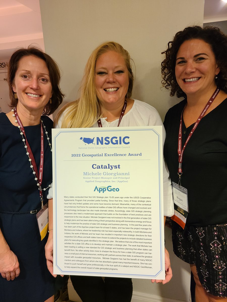
“The work that Michele has been leading is setting a new standard for GIS strategic and business planning that other states can benefit from.”...businesswire.com/news/home/2… #gis @nsgic
1
The Sanborn Map Company retweeted

27 Oct 2022
Members of the CWPA can join us for a free Lunch & Learn on 11/3, at 1PM. Join @SanbornMap as they present, “Harnessing the Power of Digital Data: Lessons Learned from Lidar-based Urban Tree Canopy Analysis”
Not a member yet? Join below: cwp.org/join-now/
1
1
The Sanborn Map Company retweeted

13 Oct 2022
#ICYMI watch now the 🔴live recording of yesterday's extra spatial #Arkansas #GIS webinar on the 2023 Aerial Imagery Project featuring @ArkansasGIS and @SanbornMap youtu.be/tSaSSFXwznk
2
4
The Sanborn Map Company retweeted

12 Oct 2022
Join the @argisusers and @SanbornMap this afternoon for a rundown on the upcoming statewide imagery project. argisusers.org/post/arkansas…
1
2