
Digitally manufacturing detailed shaded city maps with Python, PDAL and GDAL tools from LiDAR, DSM and OSM data!
- Tweets 194
- Following 172
- Followers 262
- Likes 89


ALT Resized shaded map of Fargo, North Dakota, US.

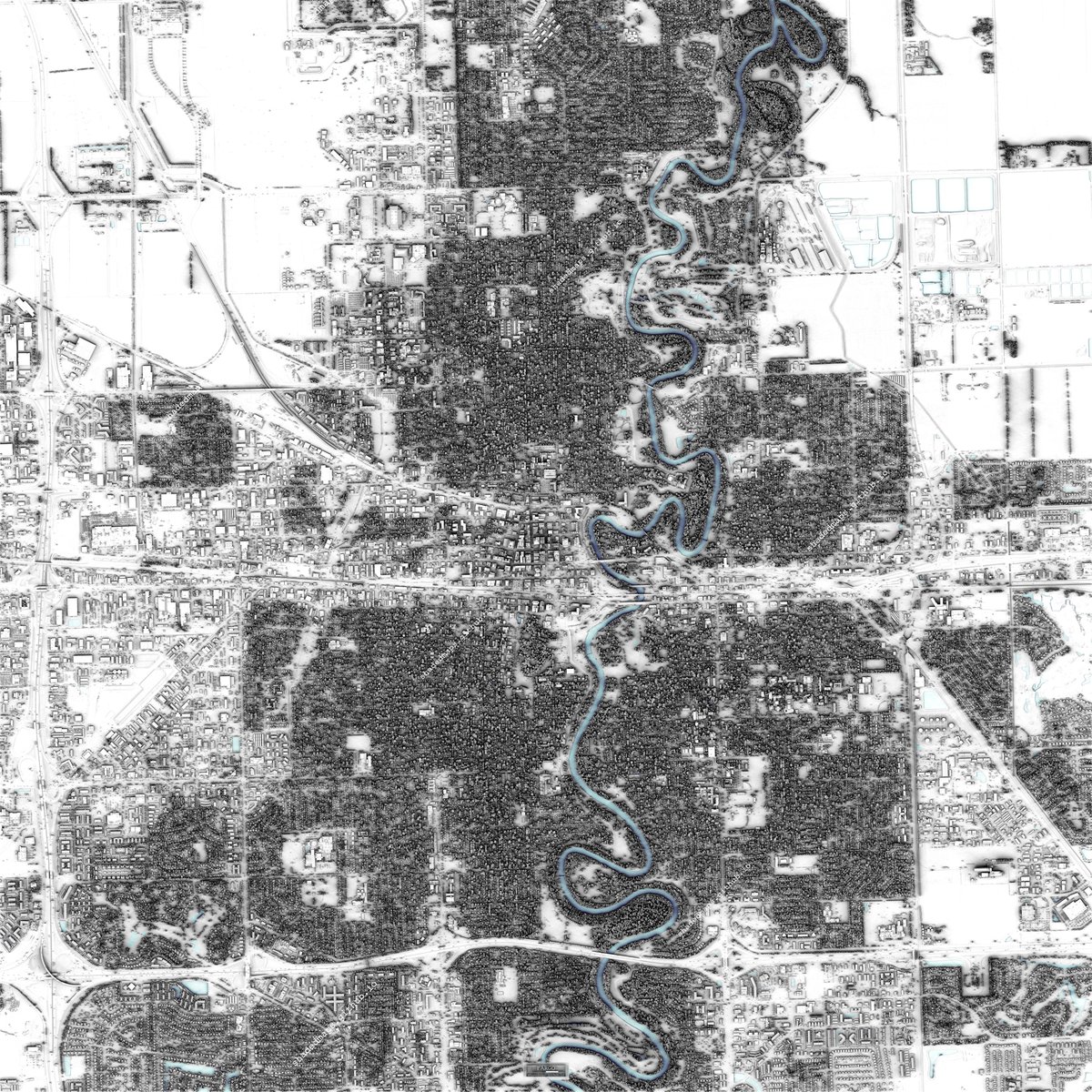
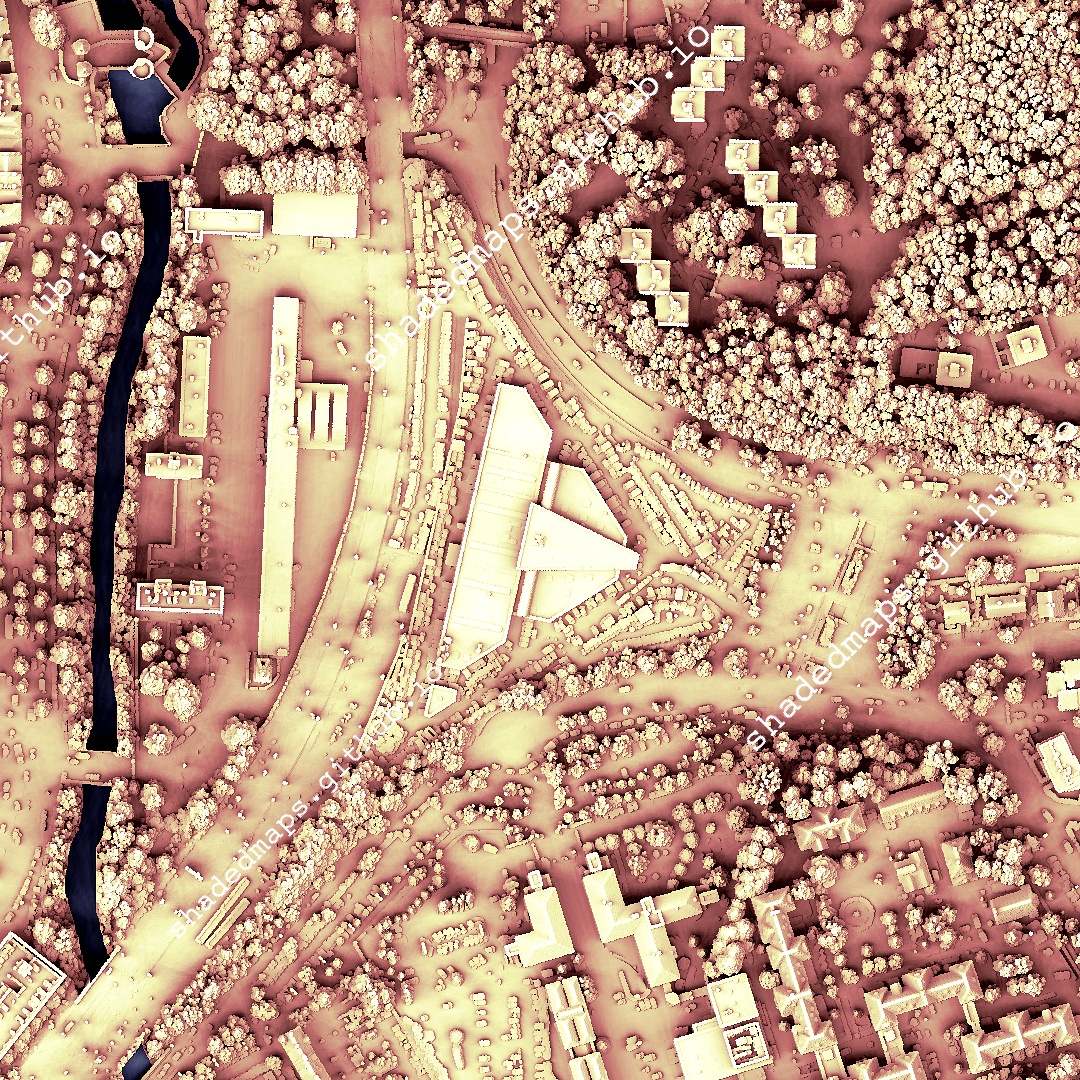
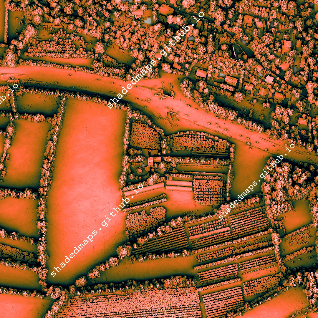
ALT A fragment from the shaded map of Fargo, North Dakota, US.
ALT A fragment from the shaded map of Fargo, North Dakota, US.

ALT A fragment from the shaded map of Fargo, North Dakota, US.
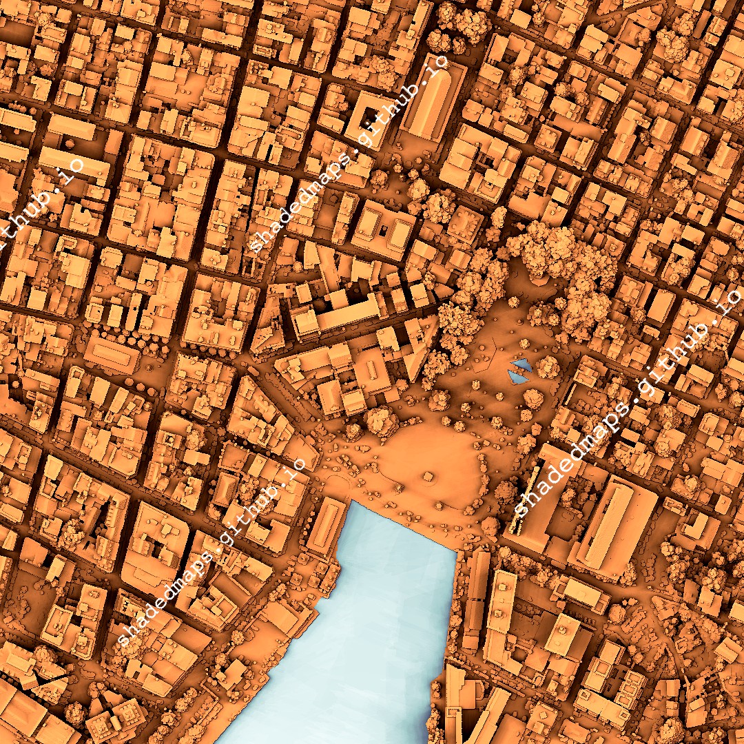
ALT Resized shaded map of New York City [Manhattan], New York, US.
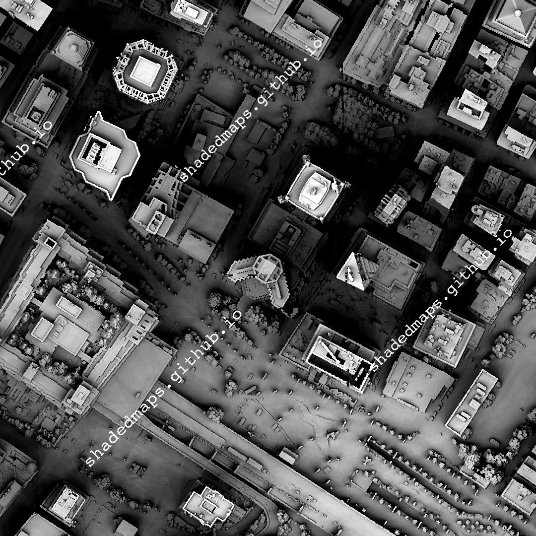
![A fragment from the shaded map of New York City [Manhattan], New York, US.](https://venexa.site/media/HKdGYLRWoAAjxne.jpg)
ALT A fragment from the shaded map of New York City [Manhattan], New York, US.
![A fragment from the shaded map of New York City [Manhattan], New York, US.](https://venexa.site/media/HKdGYebXIAAXqA4.jpg)
ALT A fragment from the shaded map of New York City [Manhattan], New York, US.
![A fragment from the shaded map of New York City [Manhattan], New York, US.](https://venexa.site/media/HKdGY31WgAAEfbQ.jpg)
ALT A fragment from the shaded map of New York City [Manhattan], New York, US.
ALT Resized shaded map of Monte Carlo, Monaco.
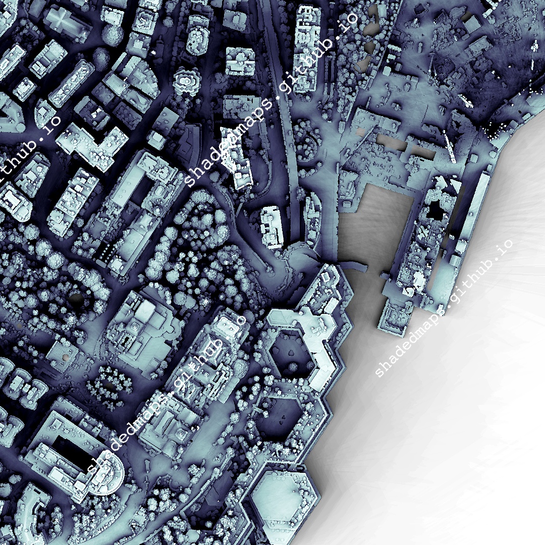
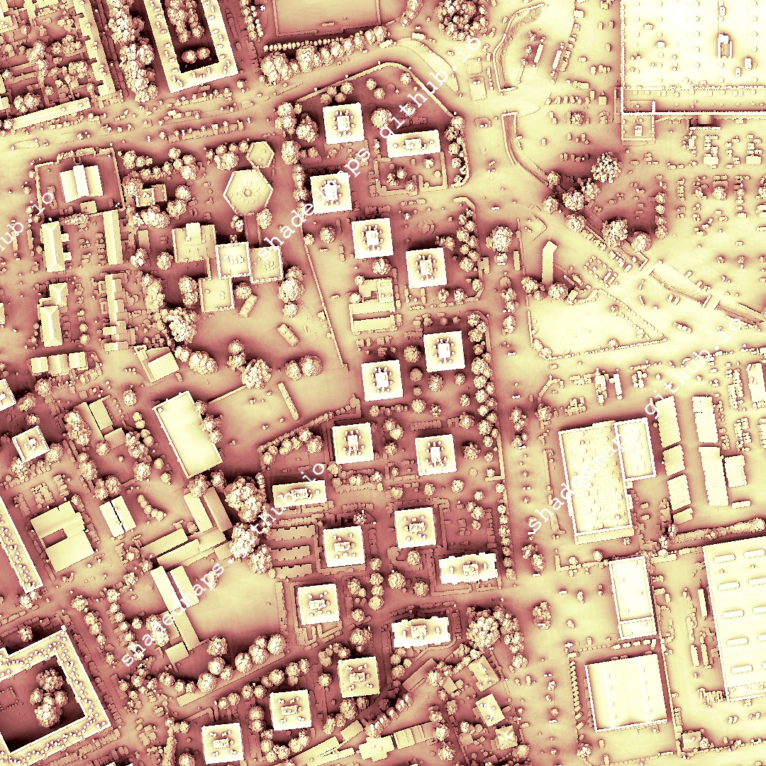
ALT A fragment from the shaded map of Monte Carlo, Monaco.
ALT A fragment from the shaded map of Monte Carlo, Monaco.
ALT A fragment from the shaded map of Monte Carlo, Monaco.
ALT Resized shaded map of Pointe-à-Pitre, Guadeloupe, France.
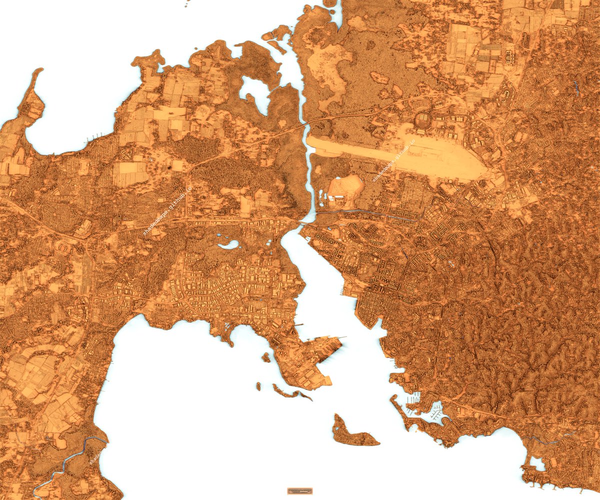
ALT A fragment from the shaded map of Pointe-à-Pitre, Guadeloupe, France.
ALT A fragment from the shaded map of Pointe-à-Pitre, Guadeloupe, France.
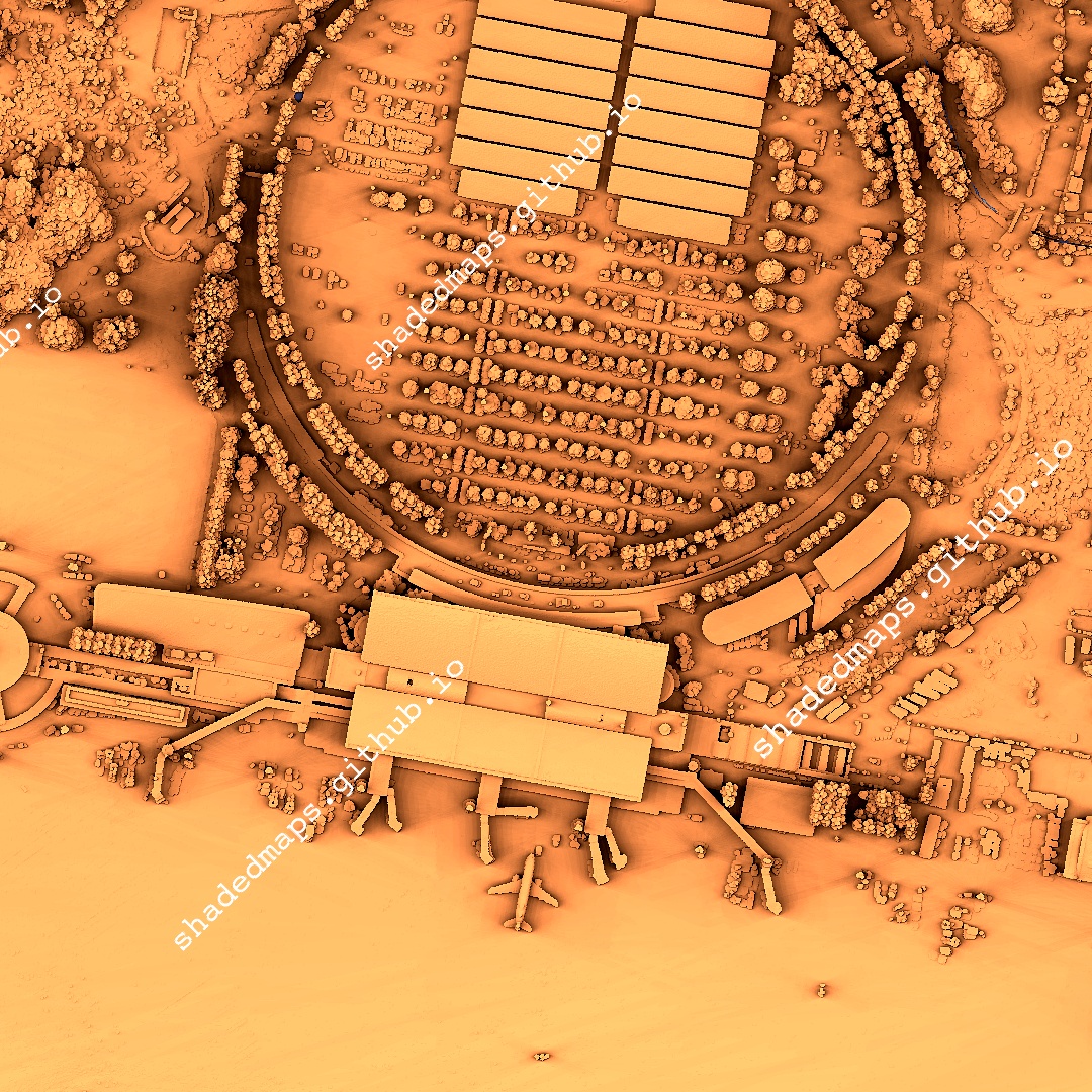
ALT A fragment from the shaded map of Pointe-à-Pitre, Guadeloupe, France.
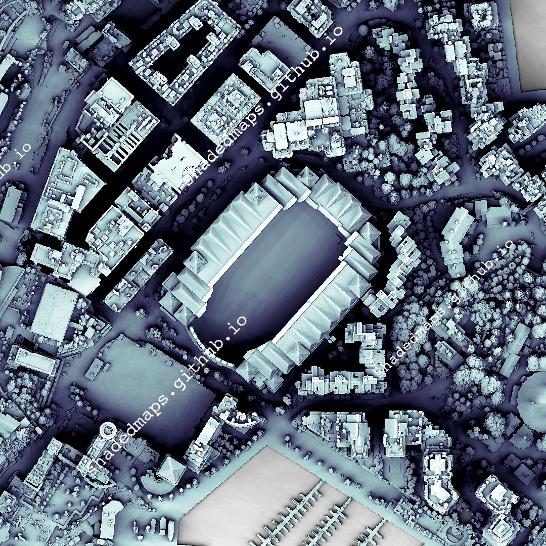
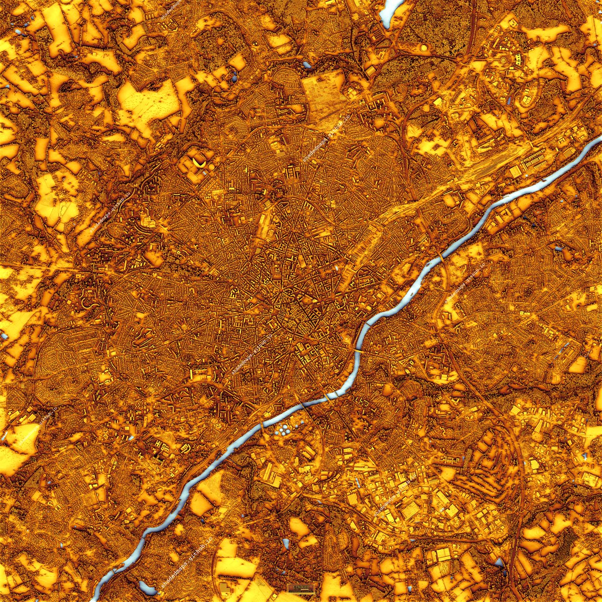
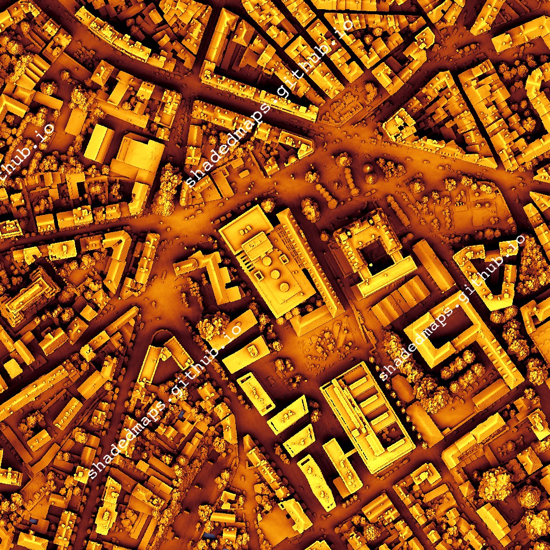
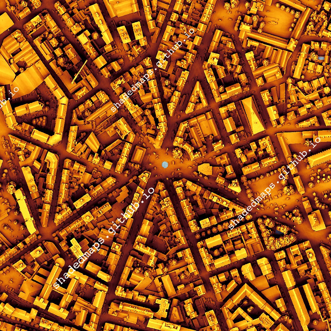
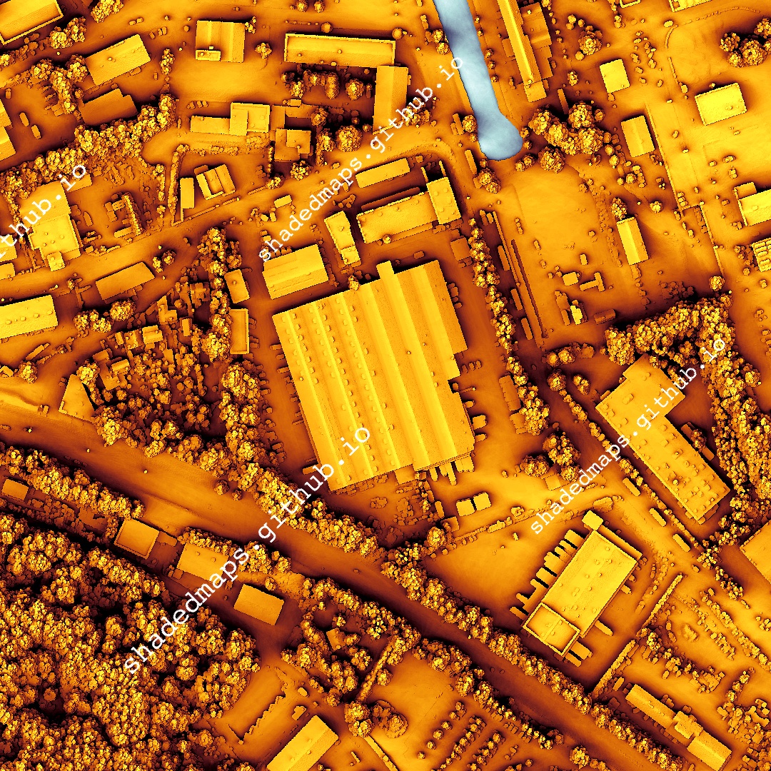
ALT Resized shaded map of Saint-Étienne, France.
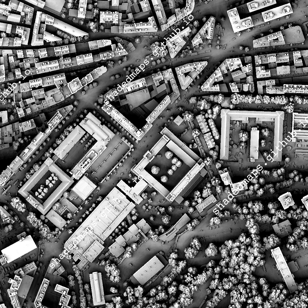
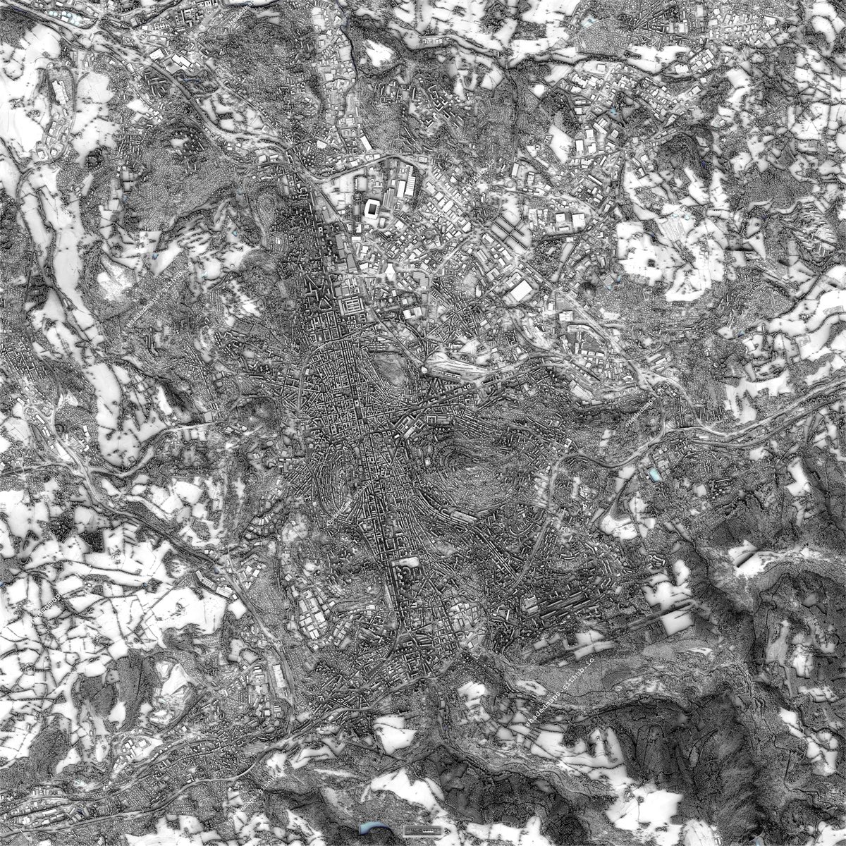
ALT A fragment from the shaded map of Saint-Étienne, France.
ALT A fragment from the shaded map of Saint-Étienne, France.

ALT A fragment from the shaded map of Saint-Étienne, France.
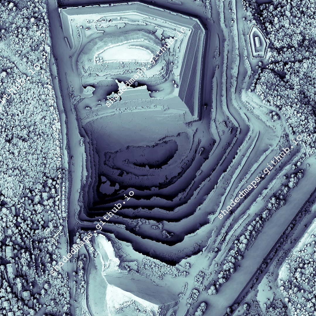
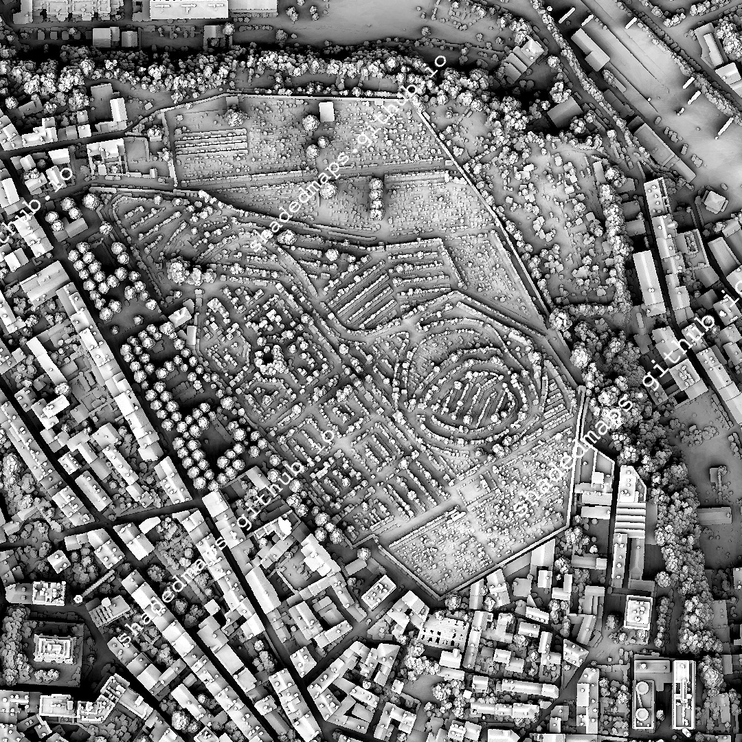
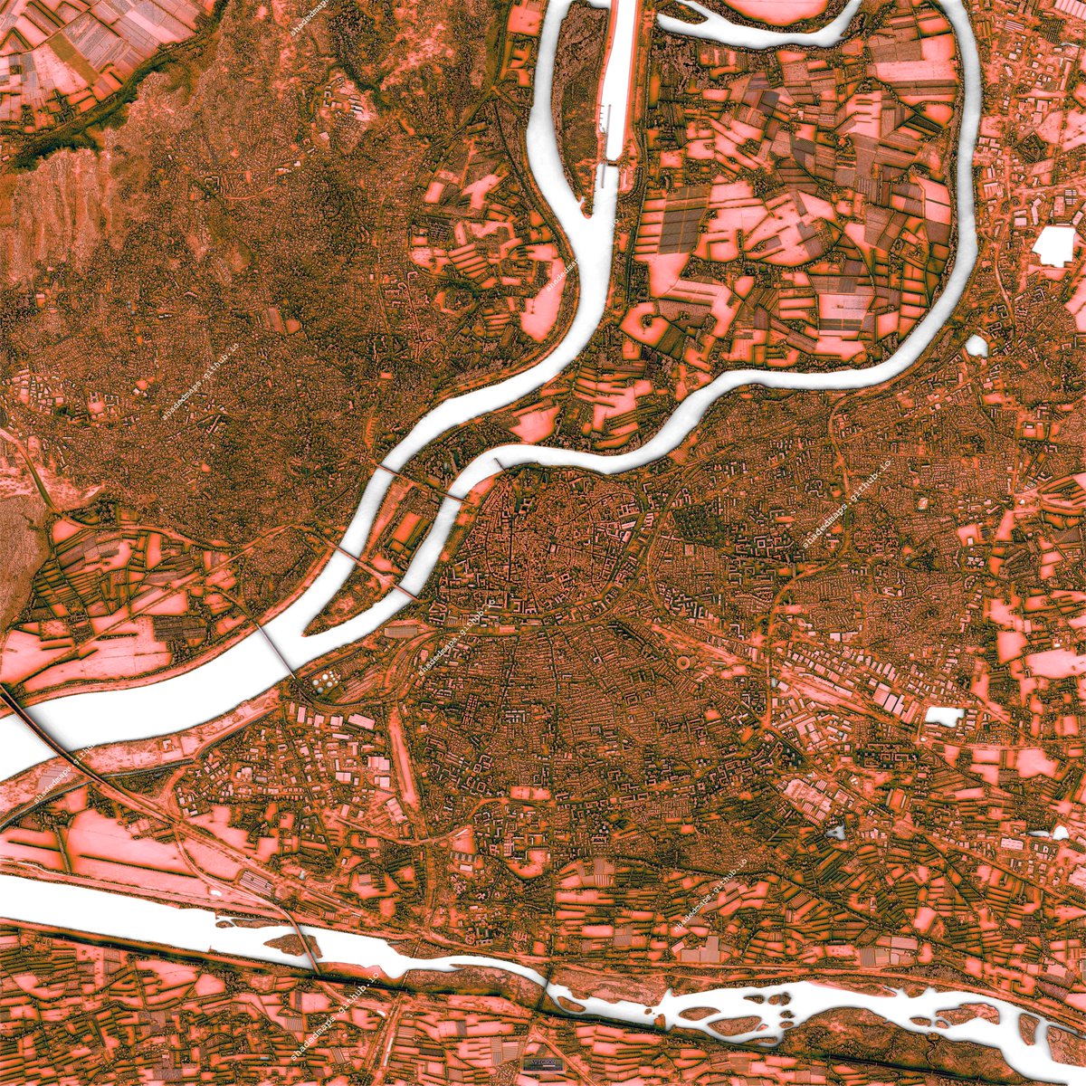
ALT Resized shaded map of Metz, France.
ALT A fragment from the shaded map of Metz, France.

ALT A fragment from the shaded map of Metz, France.
ALT A fragment from the shaded map of Metz, France.
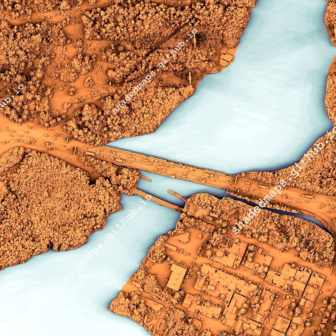
ALT Resized shaded map of Montreal, Canada.
ALT A fragment from the shaded map of Montreal, Canada.

ALT A fragment from the shaded map of Montreal, Canada.

ALT A fragment from the shaded map of Montreal, Canada.
ALT Resized shaded map of Limoges, France.
ALT A fragment from the shaded map of Limoges, France.
ALT A fragment from the shaded map of Limoges, France.
ALT A fragment from the shaded map of Limoges, France.
ALT Resized shaded map of Avignon, France.

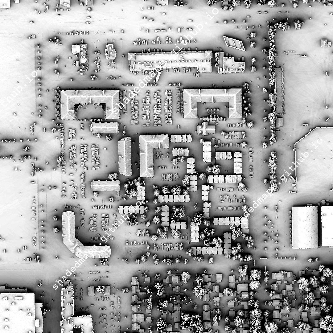
ALT A fragment from the shaded map of Avignon, France.

ALT A fragment from the shaded map of Avignon, France.
ALT A fragment from the shaded map of Avignon, France.