
World leaders in Aerial Surveying and Airborne Remote Sensing.
Joined December 2012
- Tweets 342
- Following 288
- Followers 315
- Likes 11
260 Photos and videos


Pinned Tweet

@SouthernMapping is now @WoolpertAfrica! Woolpert Africa brings together three of the world's leading geospatial firms: Woolpert, Southern Mapping Company and AAM. This move expands technology and innovation to best serve clients in Africa and around the world. #geospatial
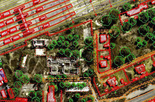
Southern Mapping, a Woolpert Company, provides precision vector mapping from highly accurate #lidar and #orthoimagery as well as #satellite imagery.
#mapping #survey #geospatial
5
From 2007 to date, Southern Mapping, a Woolpert Company has successfully completed over 50 projects in the #democraticrepublicofcongo!
Southern Mapping continues to serve this great country with rapid delivery of the highest-quality #mapping. #aerialsurvey #geospatial
1
Program Directors Jannie Engelke and Nivara Pillay at The #CESAIndaba! The event brings together leading technical #engineering experts from #government entities, contractors and suppliers. Southern Mapping is a @woolpert Company. #Infrastructure #mapping #geospatial
1
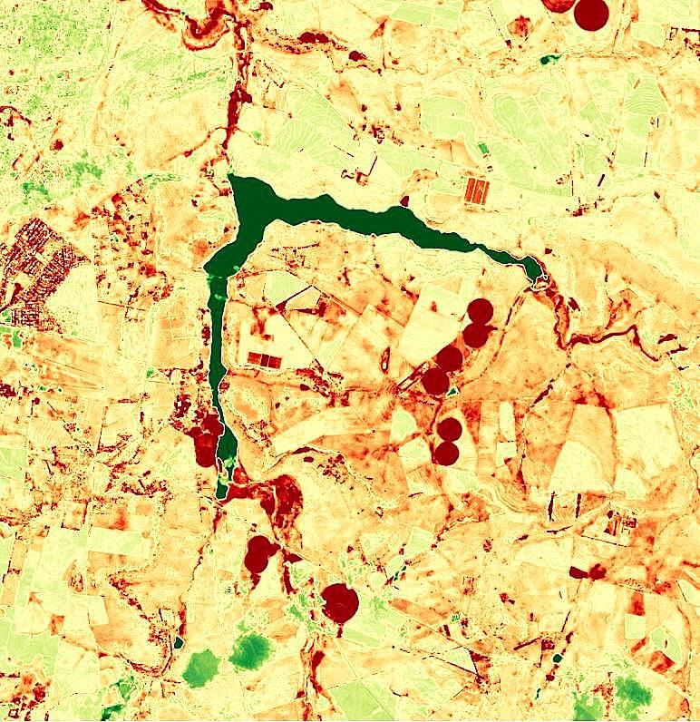
A Beautiful capture of The #SaulspoortDam in Bethlehem (Free State), depicting the Normalized Difference #Vegetation Index (NDVI) of the area. #landsat 8 data available from the U.S. Geological Survey. Southern Mapping is a Woolpert company. #imagery #mapping
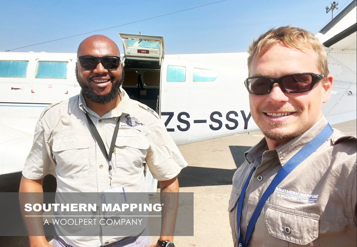
“We are what we repeatedly do. #Excellence, then, is not an act, but a habit.” Aristotle. Our #DRC #dreamteam ready for the day! #lidar #mapping #teamwork Southern Mapping is a #Woolpert Company.
Another Day Another Survey! July 2022 stats show 1408 projects completed in 48 countries - a great accomplishment for all our teams! Southern Mapping is a Woolpert Company. #aerialsurvey #mapping #woolpert #numbersworthknowing
Woolpert is recognized as a Great Place to Work by its employees and is America’s fastest-growing #AEG firm. Southern Mapping, a #Woolpert Company, has career opportunities available in our Operations Team for an Aerial Sensor Operator! lnkd.in/dQJKk237 #jobalert
The #BlydeRiverCanyon is a 26km long Canyon located in #Mpumalanga, #southafrica. It is the one of the larger canyons on Earth. Beautiful Survey Day! Southern Mapping is a #Woolpert Company. #Lidar #viewfromthetop #mapping
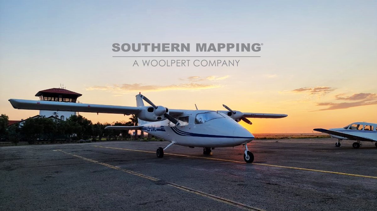
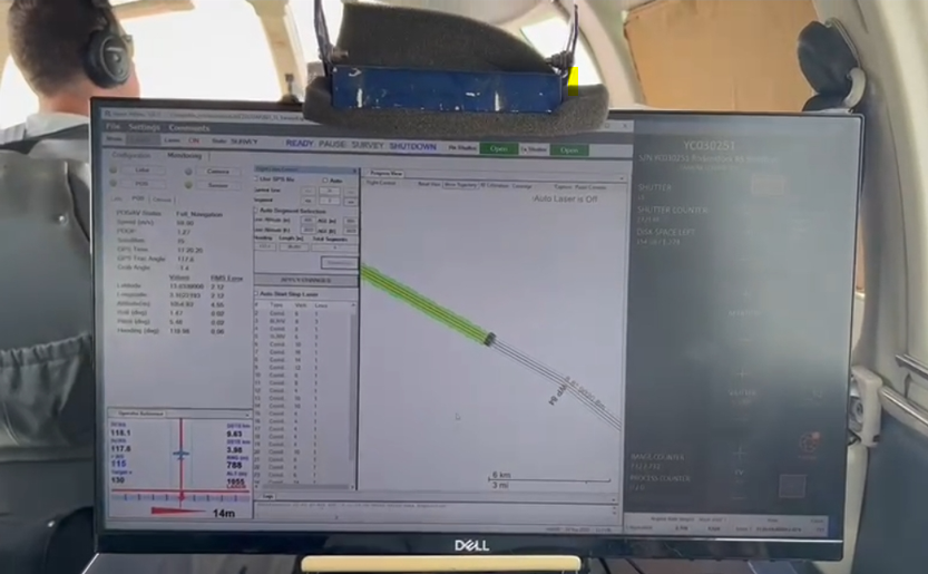
"There is only one job in this world that gives you an office in the sky; and that's a pilot." - Mohith Agadi. Another day another successful survey completed! Southern Mapping is a #Woolpert company. #LiDAR #mapping #pilotlife #aerialsurvey
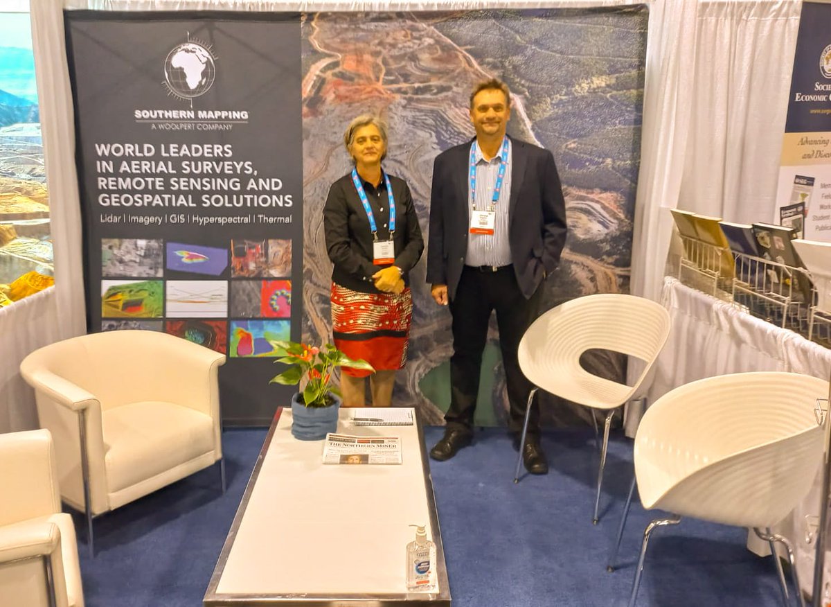
Good Morning #Toronto! Southern Mapping, a Woolpert Company, is exhibiting at stand no. 716 at the world's premier #mineralexploration and #mining convention - #pdac2022. See you there! #miningsolutions #mapping
1
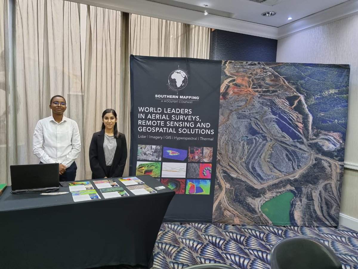
Southern Mapping, a Woolpert Company, exhibited at the #Forestry #GIS & #remotesensing Conference in May; to highlight the importance of GIS and Remote Sensing Technologies, and to outline their applications. Read more about our GIS capabilities here: lnkd.in/dy5BmGdq
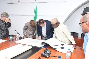
SPOTTED! Southern Mapping, a Woolpert Company, was involved in discussions with The Office of the Surveyor-General of #Nigeria, regarding the planning of a large-scale map of the entire country. Read the full article here: lnkd.in/dYiQRxjj #mapping #aerialsurvey
#viewsfordays! The Lower Steenbras Dam, is a gravity concrete arch type dam located above Gordons Bay, near #CapeTown in #SouthAfrica. It is one of the six large #dams that make up the #WesternCape Water Supply System. Southern Mapping is a #woolpert company. #aerialsurvey #maps
1
2
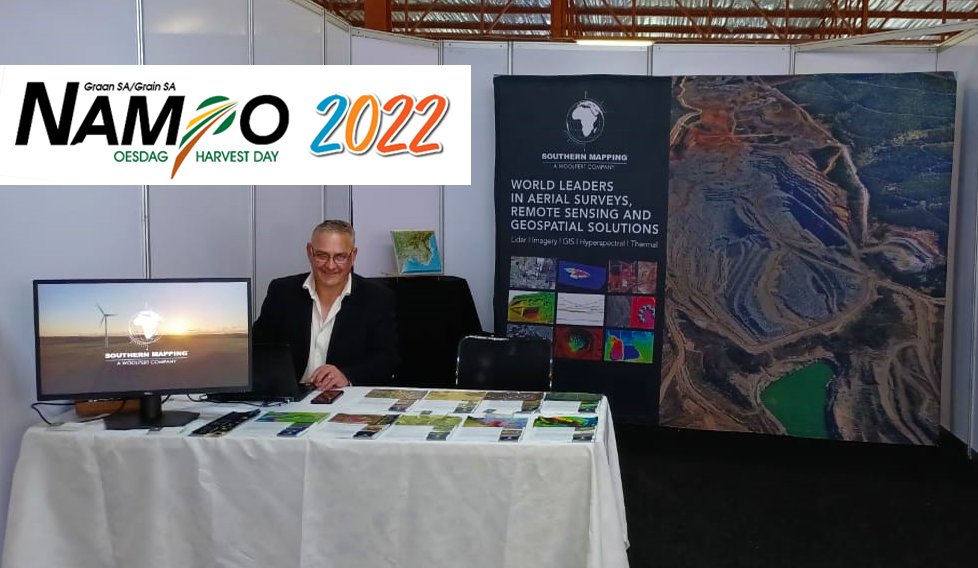
We are at #nampo2022! Located in the main Nampo Hall at Stand 81 - Jaco Wiesner, Geospatial Program Director, is manning the booth and offers various #geospatial and #remotesensing solutions for the #agriculture sector. Southern Mapping is a #woolpert company.
1
2
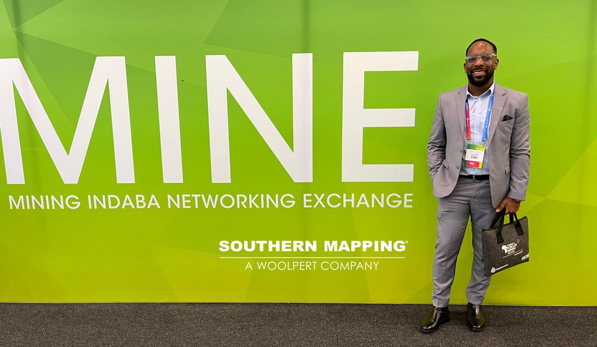
Last day of #miningindaba2022 ! Credo Unamaka, Geospatial Program Director, pictured below. Credo is our go-to-guy for #tailingsmanagement, #remotesensing, #hyperspectral analysis for #exploration, #environmentalmonitoring and mining change analysis. #mining #lidar #woolpert
1
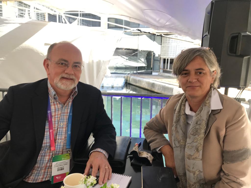
Day 2 of #miningindaba! Cecilia Hattingh, Geospatial Program Director and Jeff Doebrich, from the U.S. Geological Survey (USGS). Our #surveytechnologies assist the #USGS to provide science to develop new methods and tools to enable information about the Earth and its processes.
1
1
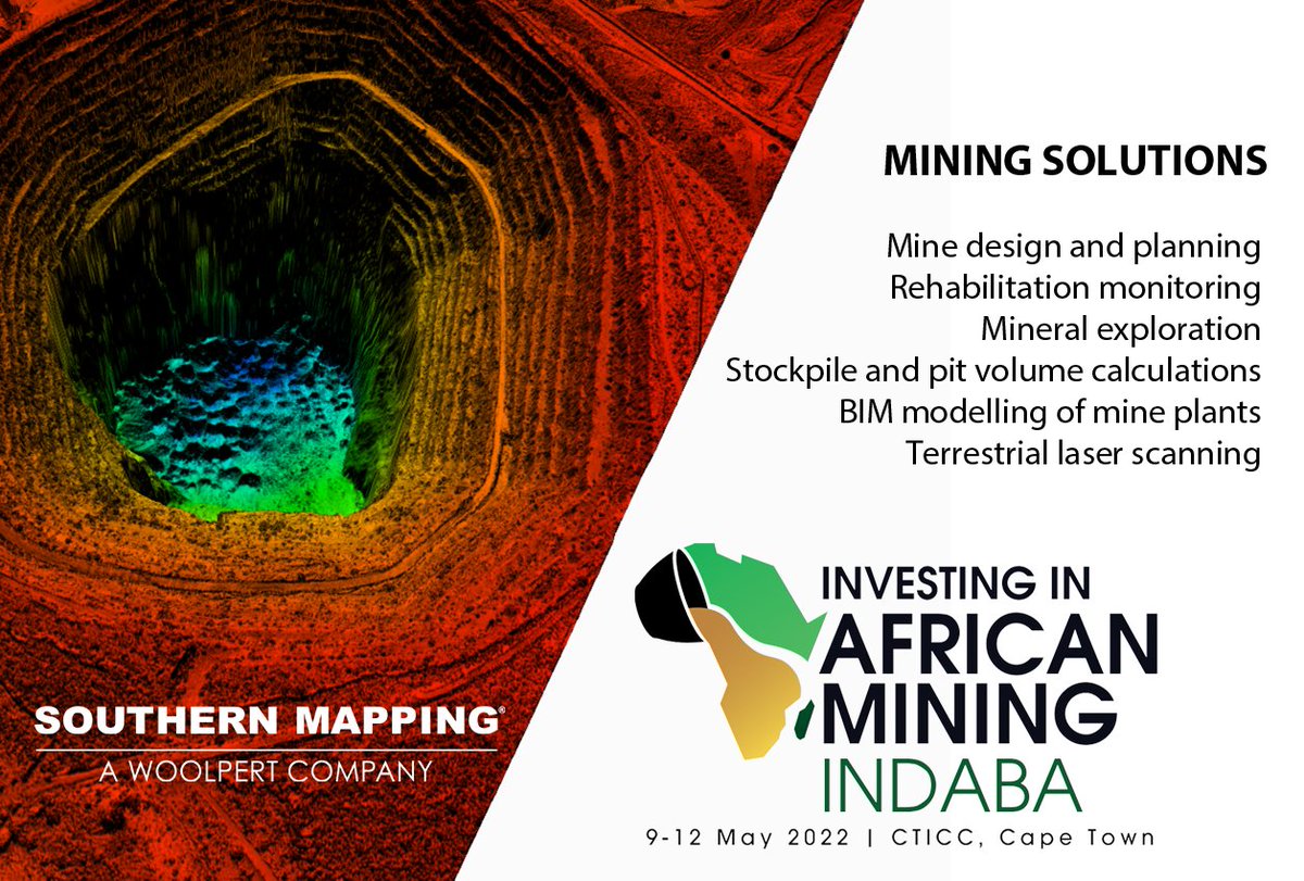
Only 4 days to #miningindaba 2022! Our team of specialists will be attending this event next week, at the #CTICC in #capetown, offering a wide range of #geospatial solutions to the #miningindustry. Southern Mapping is a Woolpert company. See you there! #mappingforminingindaba
1
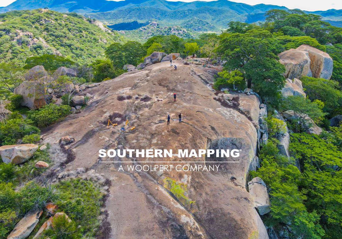
What an adventure! On site in #Zimbabwe conducting a #remotesensing spectral investigation, that forms part of a ground truthing exercise related to a multispectral analysis, for an #exploration client. #spectrometer offerings here: southernmapping.com/spectrom…
1
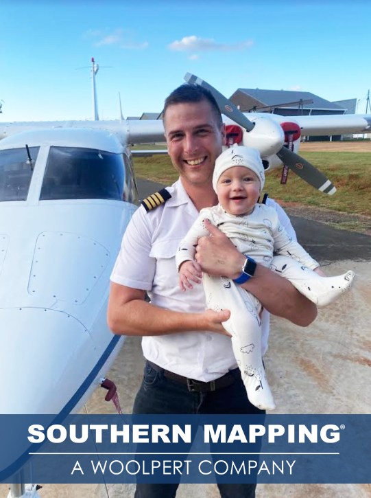
SPOTTED! Future #aerialsurvey #pilot in training, Baby Connor Bosman - (pictured below) - going to work with Dad is just "plane" fun! Southern Mapping is a Woolpert company. #babysteps #lidar #Woolpert
2