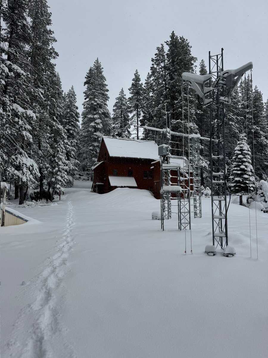
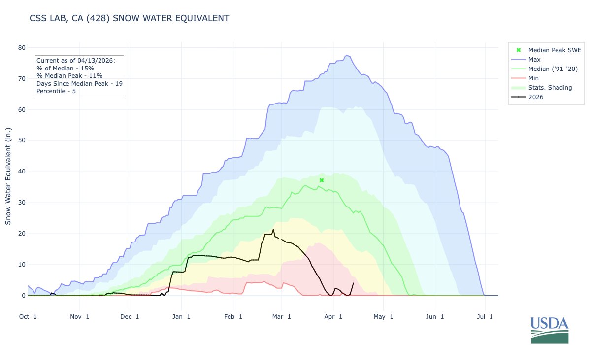
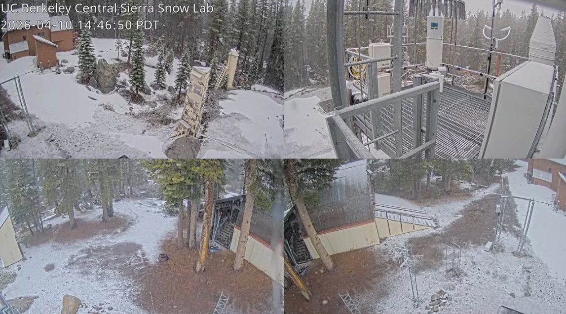
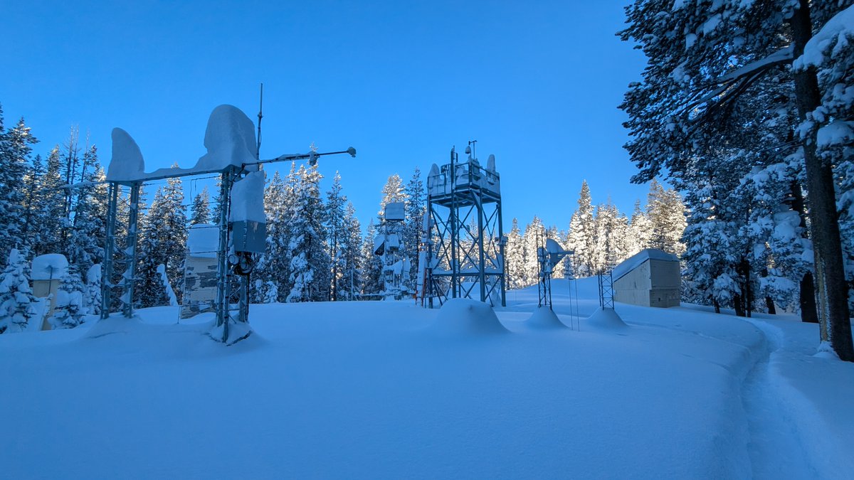
The CSSL is a research station of UC Berkeley specializing in snow physics, snow hydrology, meteorology, and climatology. The lab is at an elevation of 6894 ft.
- Tweets 2,301
- Following 181
- Followers 23,566
- Likes 1,531


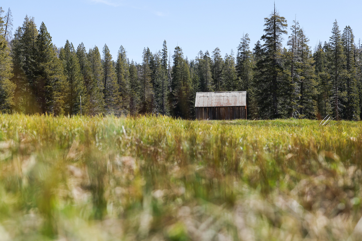
ALT The California Department of Water Resources skipped its May snow survey at Phillips Station in the Sierra Nevada due to a lack of snow. The site, where four previous media snow surveys were held for the 2026 season, is approximately 90 miles east of Sacramento off Highway 50 in El Dorado County. Photo taken May 1, 2026.
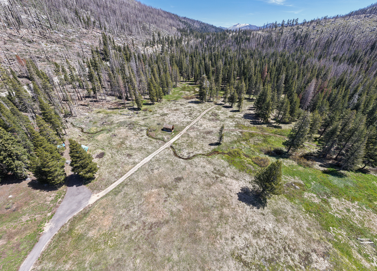
ALT A drone view of where the California Department of Water Resources skipped its May snow survey at Phillips Station in the Sierra Nevada due to a lack of snow. The site, where four previous media snow surveys were held for the 2026 season, is approximately 90 miles east of Sacramento off Highway 50 in El Dorado County. Photo taken May 1, 2026.
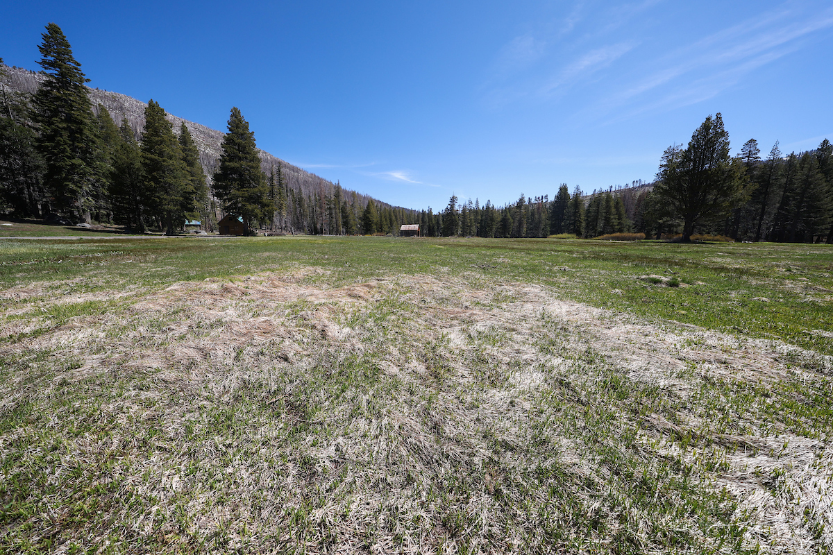