
- Tweets 4,908
- Following 155
- Followers 7,171
- Likes 2,958
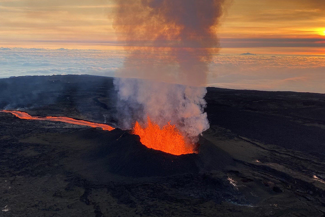


ALT Glowing lava erupting from a volcanic crater with thick smoke rising against an early morning sky.

ALT Fiery lava illuminating jagged fissures in a volcanic surface and ash above.
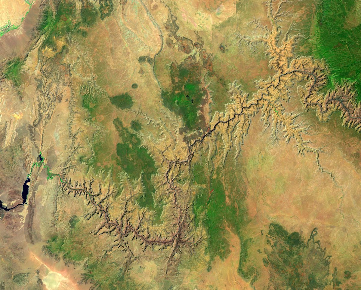
ALT Aerial view of the vast of the Grand Canyon landscape with scattered green vegetation patches.
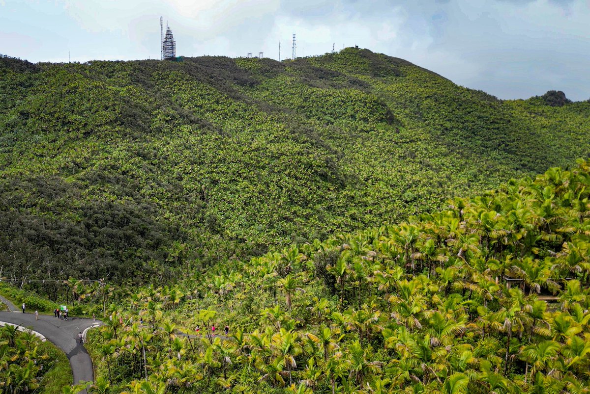
ALT Lush green hillside densely covered with tropical vegetation under a cloudy sky.
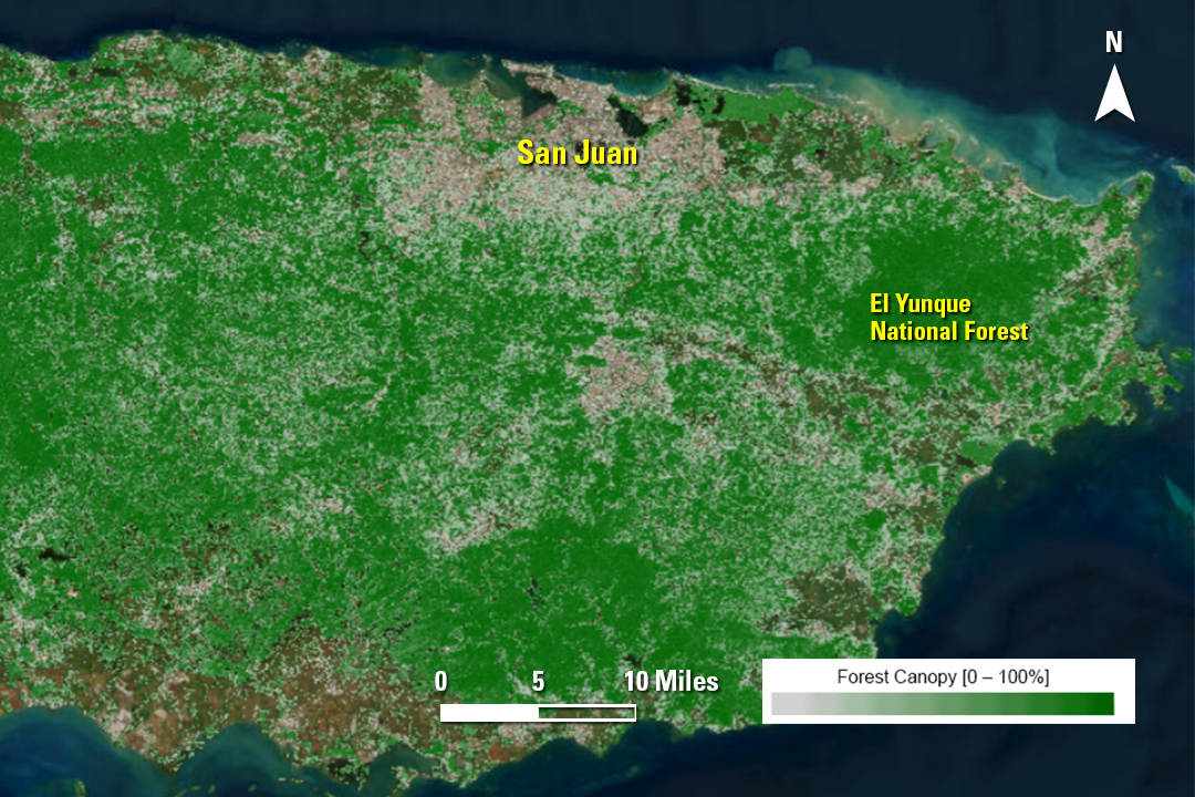
ALT Satellite-derived view of eastern Puerto Rico's dense forest canopy coverage with San Juan and El Yunque National Forest labeled.
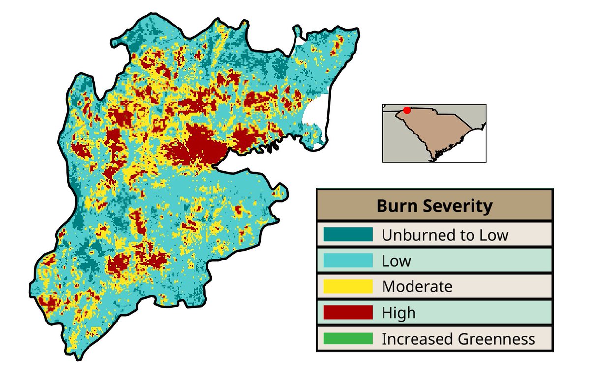
ALT Map showing burn severity levels with large areas marked as unburned to low, scattered moderate and high severity zones, and some increased greenness patches.
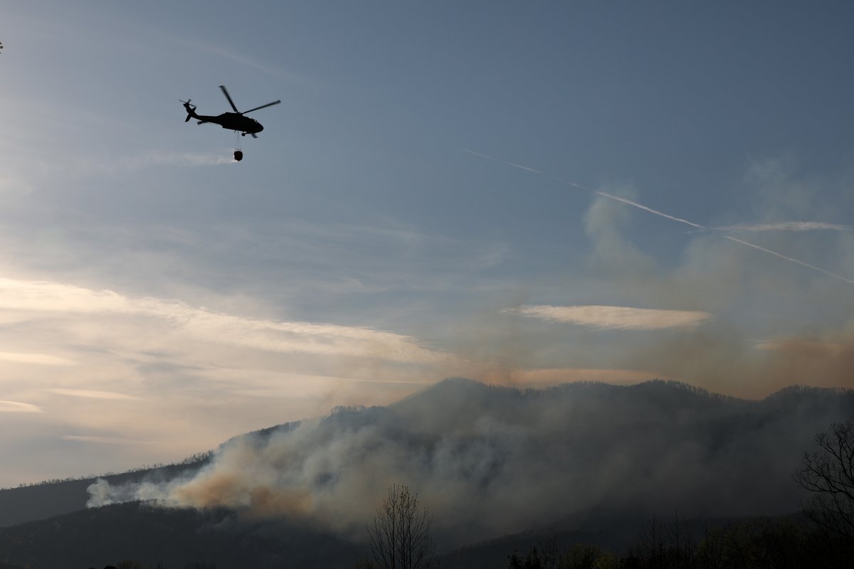
ALT Helicopter carrying a water bucket flies over smoky mountains to combat a wildfire at dusk.


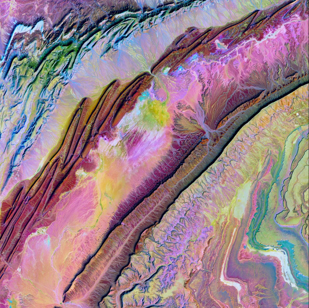
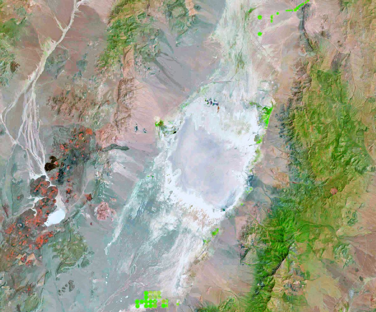
ALT A vibrant abstract landscape with swirling patterns in pink, purple, green, and blue hues resembling geological formations.
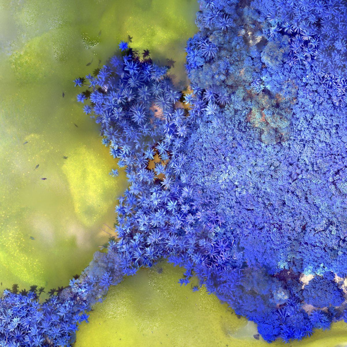
ALT A drone image showing a rainforest as blue with yellowish-greenish water
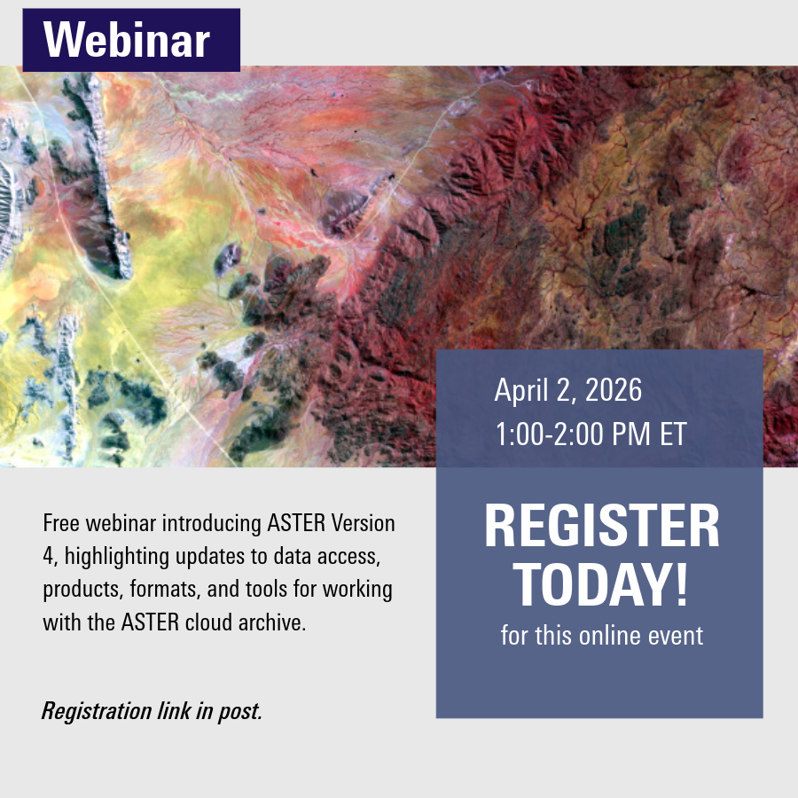
ALT Satellite image showcasing diverse terrain colors promoting an April 2, 2026 webinar on ASTER Version 4 updates and cloud archive tools.
ALT Black and white portrait of a man wearing a suit and tie against a plain background.
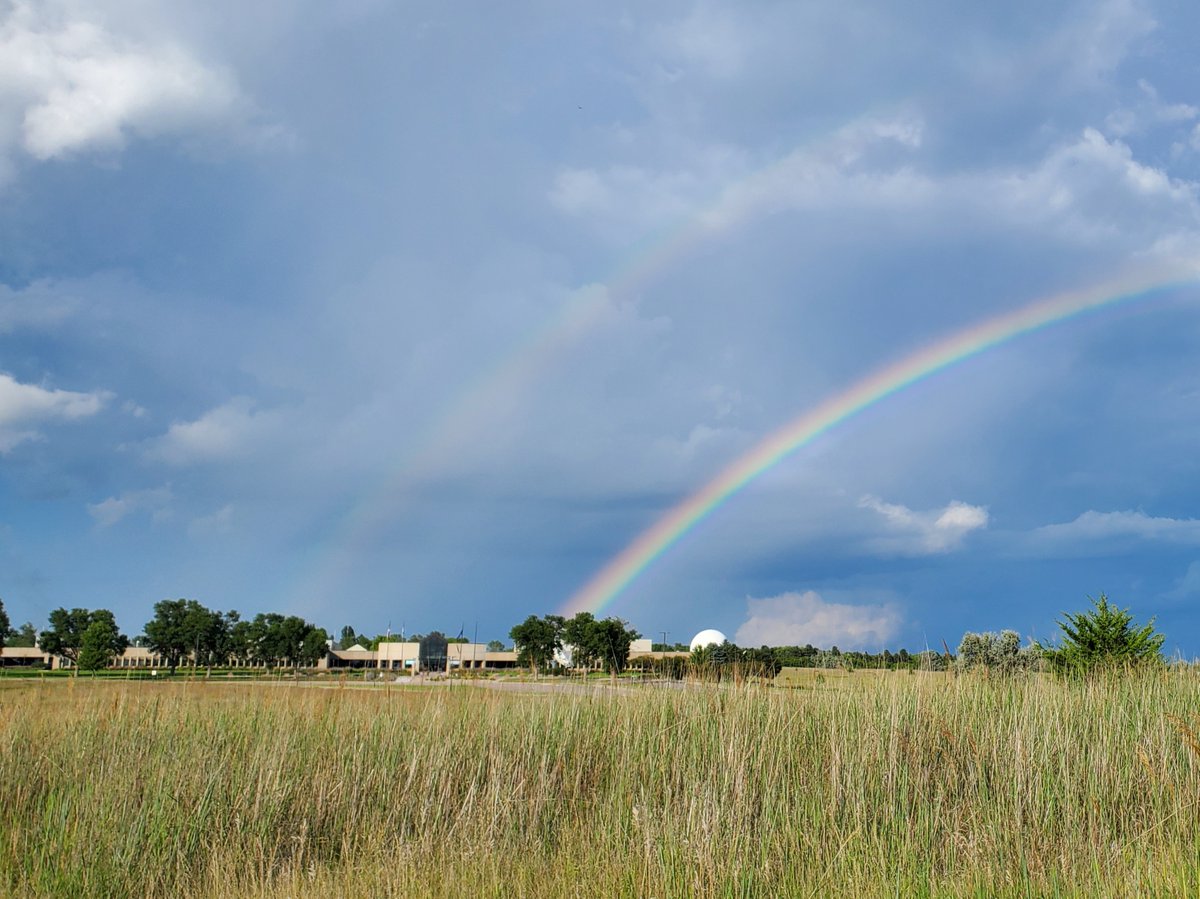
ALT Bright double rainbow arches over a rural landscape with tall grass and scattered trees under a cloudy sky.
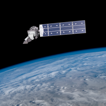
ALT Satellite with large solar panels orbiting above Earth’s blue and white cloud-covered surface.


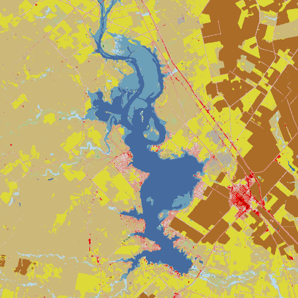
ALT USGS webinar announcement on Visualizing Land Cover with MRLC Tools scheduled for Tuesday, Jan. 20 at 12 p.m. CST with speaker Kenadie Martinsen.
ALT Group of students attentively observing a large multi-panel satellite map displayed on a wall.

ALT People standing in a dimly lit hallway with illuminated digital displays on the left wall.
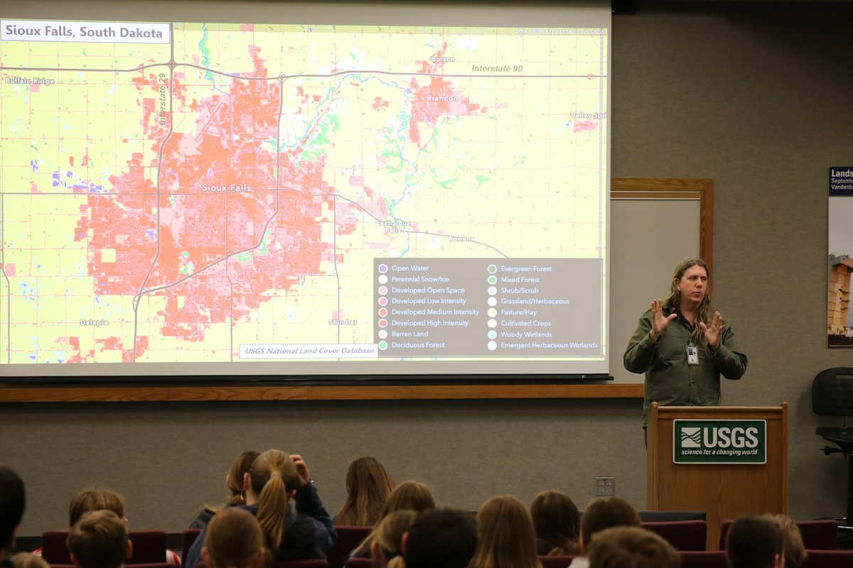
ALT Presenter at USGS podium explaining a detailed map of Sioux Falls, South Dakota, to an attentive audience in a lecture room.
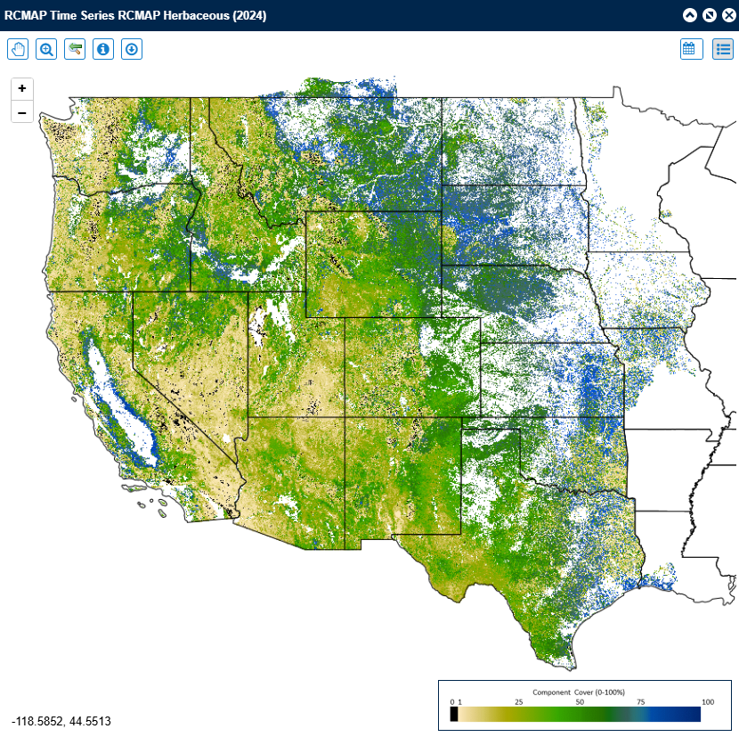
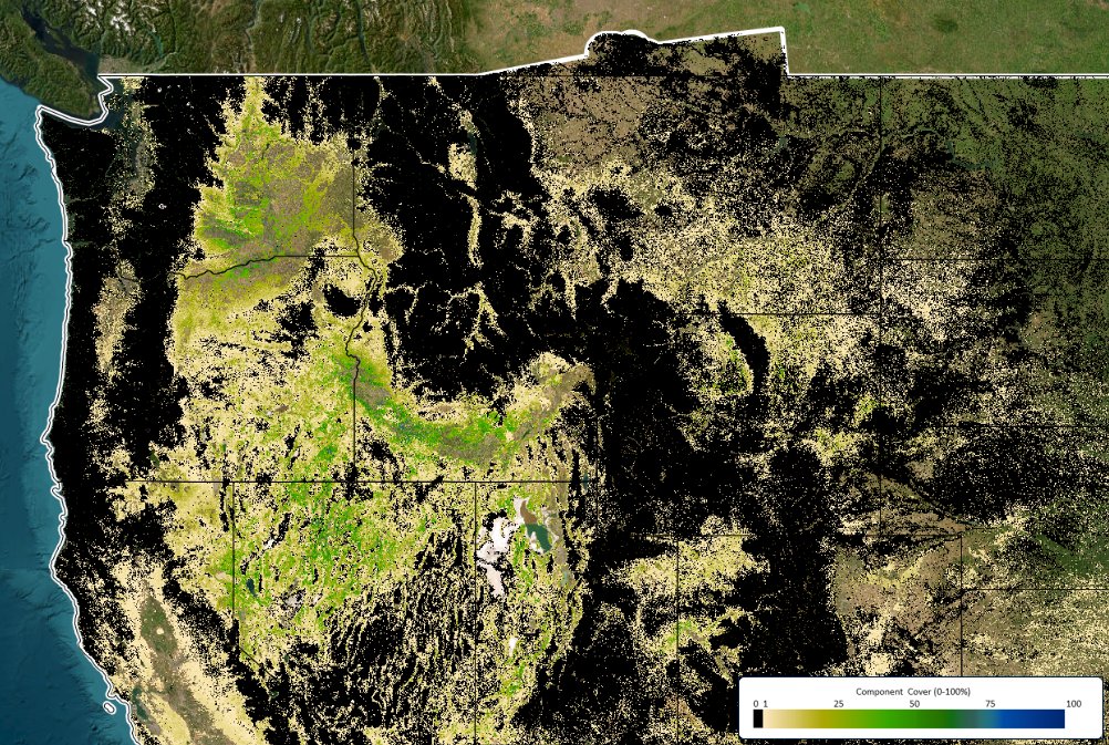
ALT Map showing herbaceous vegetation cover across the western and central United States in 2024, with varying densities from low to high.
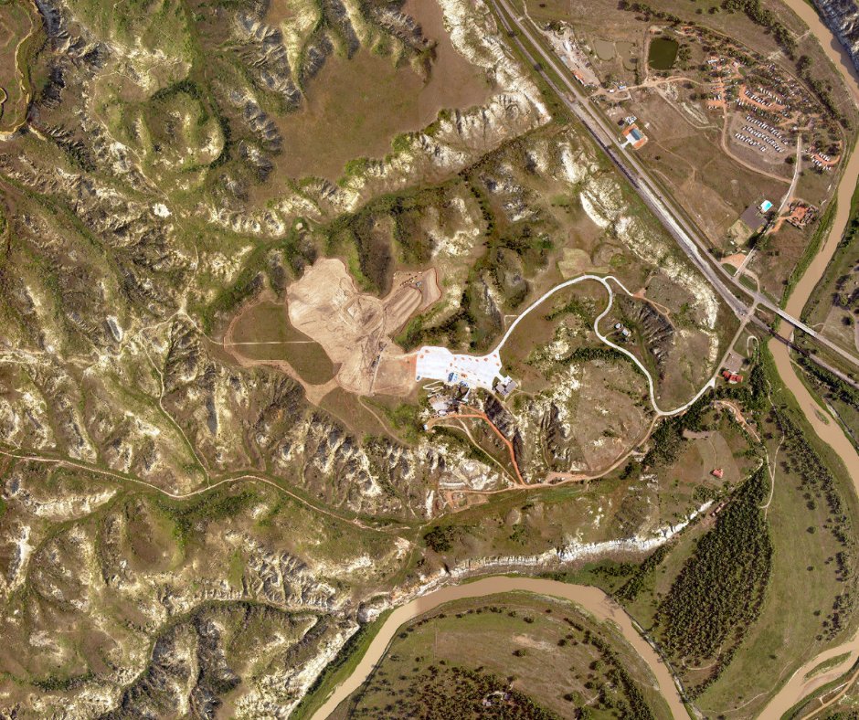
ALT Aerial view of a winding river curving through rugged terrain with sparse vegetation and a construction site near a road.